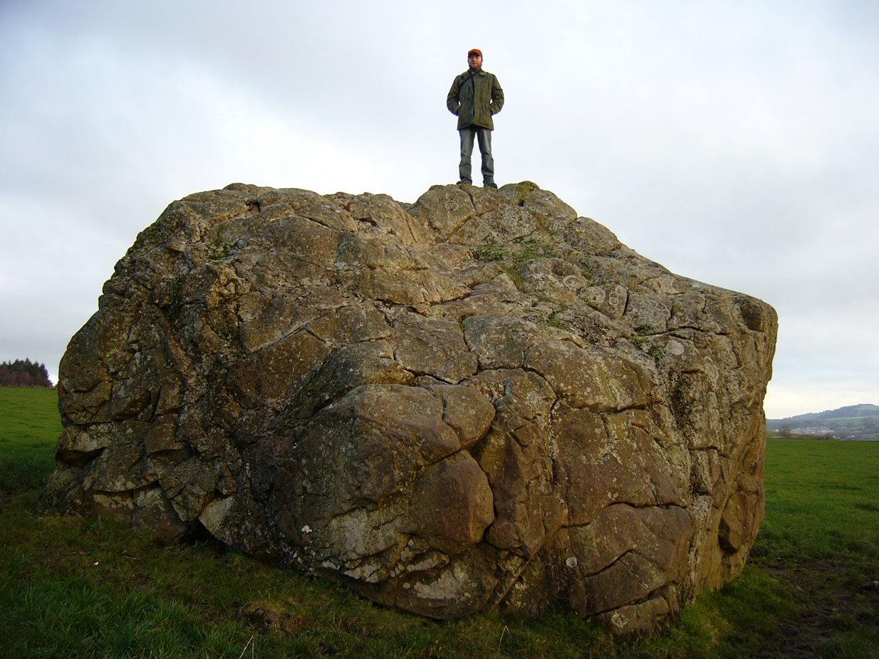
Cup-Marked Stone: OS Grid Reference – SE 13004 53097
Getting Here
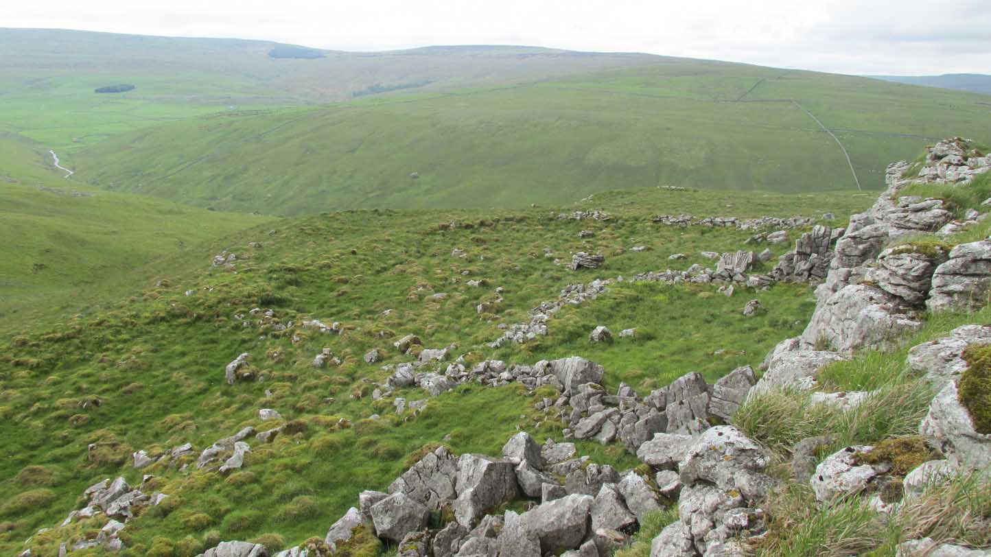
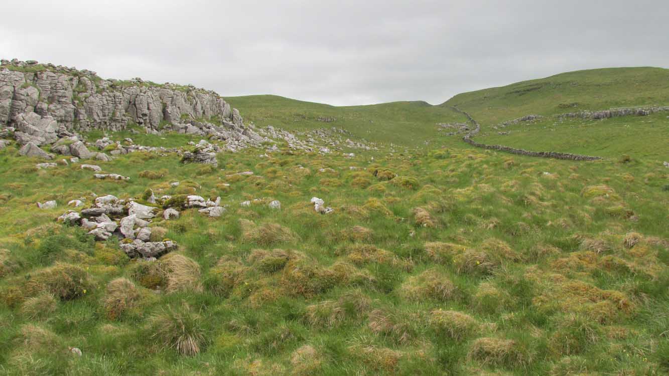
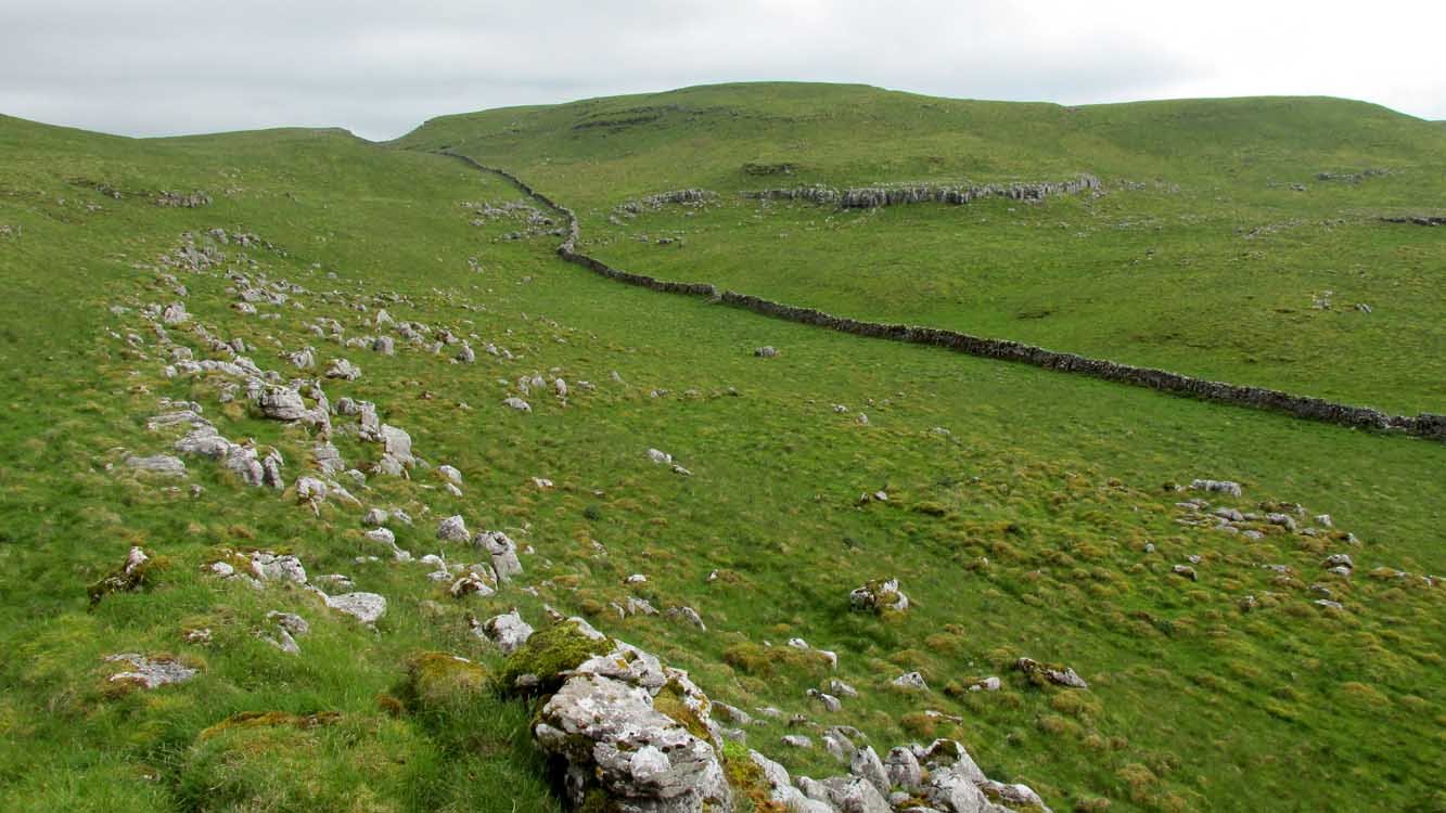
Probably the easiest route to find this is via the Roman Road from Blubberhouses. Go up Cooper Lane a few hundred yards, turning right (west) on the footpath past the Manor House and onto the moor. Walk along the footpath until you hit the dead straight Roman Road and walk 1⅓ miles (past the cup-marked Eagle Stone) until you meet another footpath on your right veering over the haunted Sug Marsh away from the straight road. This takes you to Gawk Hill Gate ½-mile away. Go over the wall here and walk for 350 yards where several stones are just yards to the left of the path. You’re there!
Archaeology & History
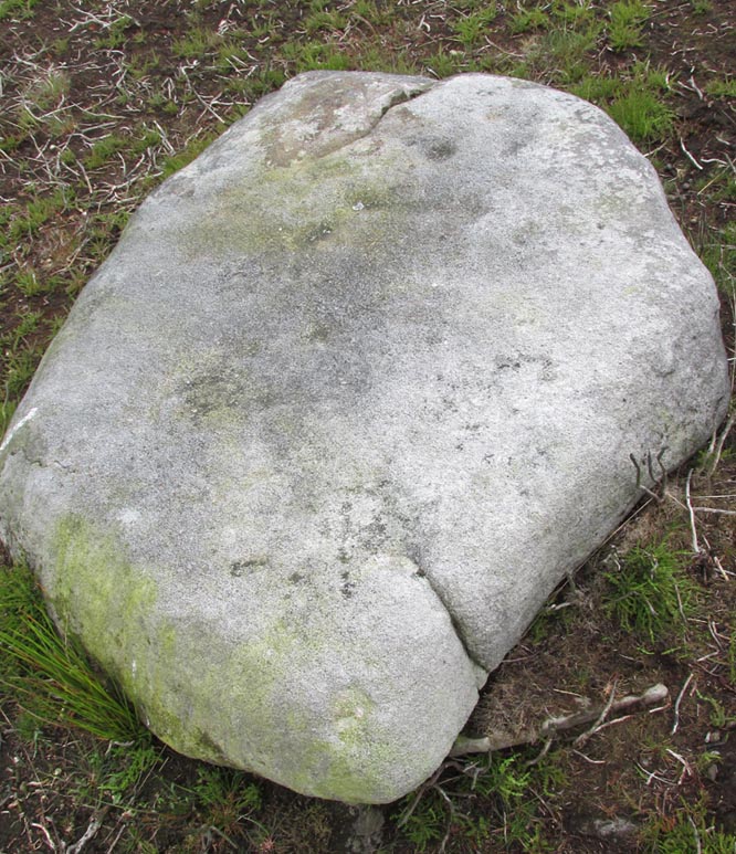
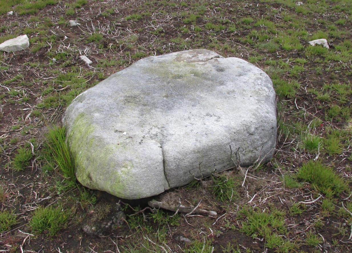
Depending on the age of the old path by which this carving lies, it may have represented a marker of the ancient route. It lives in relative isolation from other petroglyphs a mile or so further down the moorland slopes and is probably one only for the purists amongst you. A smoothed (female) medium-sized rock, about 2 yards by 1 yard across, possesses at least two simple cup-marks on its upper western surface. A third cup seems evident between the main two cups, with a carved line running some 10 inches towards the eastern side of the stone. What may be several other cup-marks can be seen on the stone, but the day was overcast when we came here and so we’re unsure as to whether they’re natural or man-made.
Acknowledgements: Many thanks to James Elkington and his little compatriot Mackenzie, who accompanied us to this and other sites nearby.
© Paul Bennett, The Northern Antiquarian