Antiquarian Notes
Writing in the “Transactions of the Stirling Natural History & Archaeological Society” in 1882, Mr Thomson told:
“About the middle of last month I was informed by Mr Bruce that the Council of the Field Club had asked the rector and myself to go and examine a cist alleged to have been discovered in a field near Stenhousemuir. I arranged with the rector to go the following Saturday. As he was suffering from cold, and it was stormy, he was unable to go. I thought I would risk cold and storm, and at the station met Mr Taylor of Morrison & Taylor, who was just returning to Larbert. Learning my errand he kindly promised me every assistance. During tea Miss Taylor procured for me the account of the opening of the cist which had appeared in the Falkirk Herald. It ran as follows:
“‘Discovery of Human Remains – On Tuesday last, the workmen employed by the Carron Company in excavating the Sand Hills, about a quarter of a mile to the south of the village of Stenhousemuir, made a discovery which has caused some excitement in the district. At the depth of four feet from the surface the workmen came in contact with a stone coffin or grave, 3 feet 9 inches long by 2 feet broad, very substantially built, and containing the remains of a human body. When the discovery was made, parts of the skull were in good preservation, but soon after being exposed to the air they crumbled away. The remains have been carefully collected, and are now in possession of the workmen at the hut at the Sand Quarry. On Wednesday a great many people visited the place, prompted by a natural curiosity to see these relies thus suddenly brought to light, the history of which, it is to be feared, must ever remain a mystery. ’”
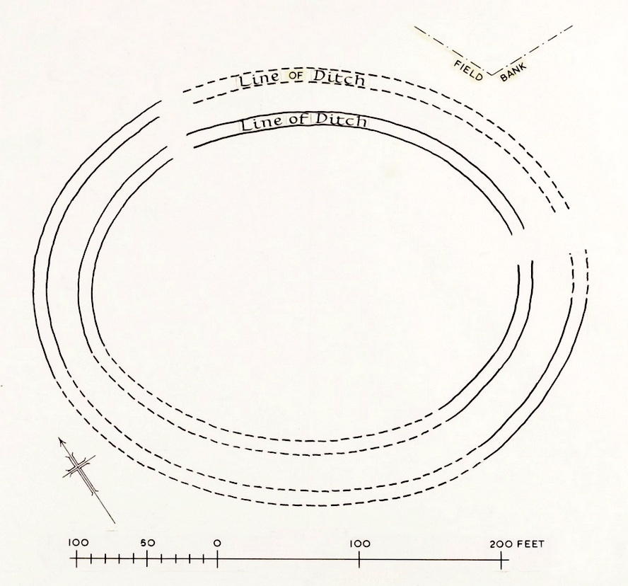
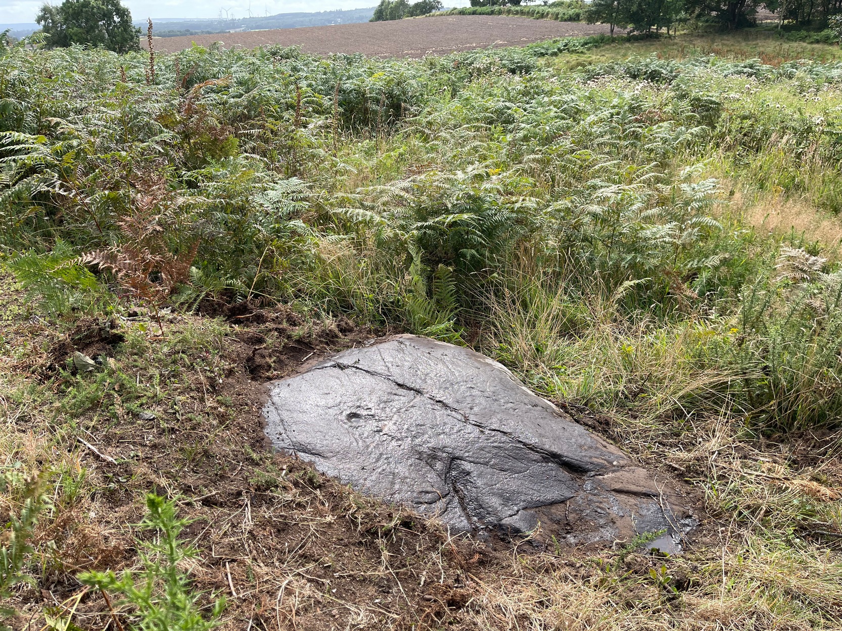
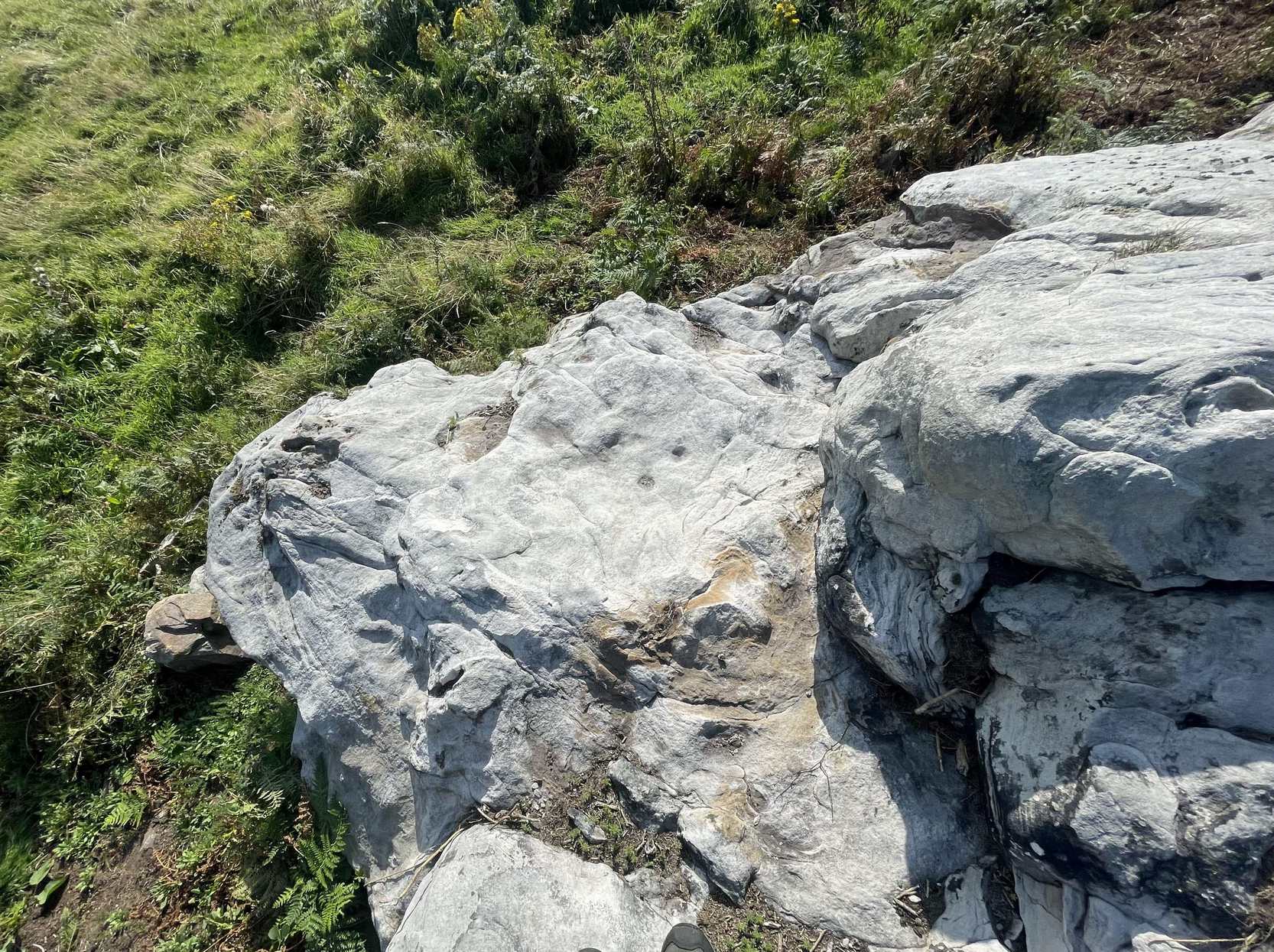
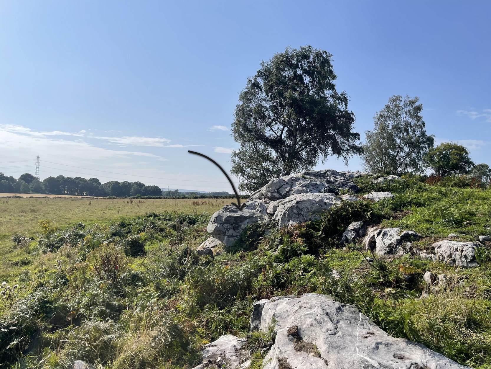
“After tea, Mr Taylor and I went to the place where the cist was railed off. It is in the middle of a field acquired by the Carron Company to take sand for their castings from, and the excavation that revealed the cist had been made with a view of getting a new bed of sand. About 200 yards west of the gate of Carron Park House, and close by a railway for waggons, where the workmen had been digging pits, partly with a view to find, as I understood, the lie of the sand, and partly also to arrange the course of a waggon railway for the new sand pit, they came upon traces of a disturbance in the sand. On digging down they came upon some large stones. On lifting them they found some bones, among the rest the top of the skull. The latter was injured somewhat by the spade, and it seems soon to have crumbled away.
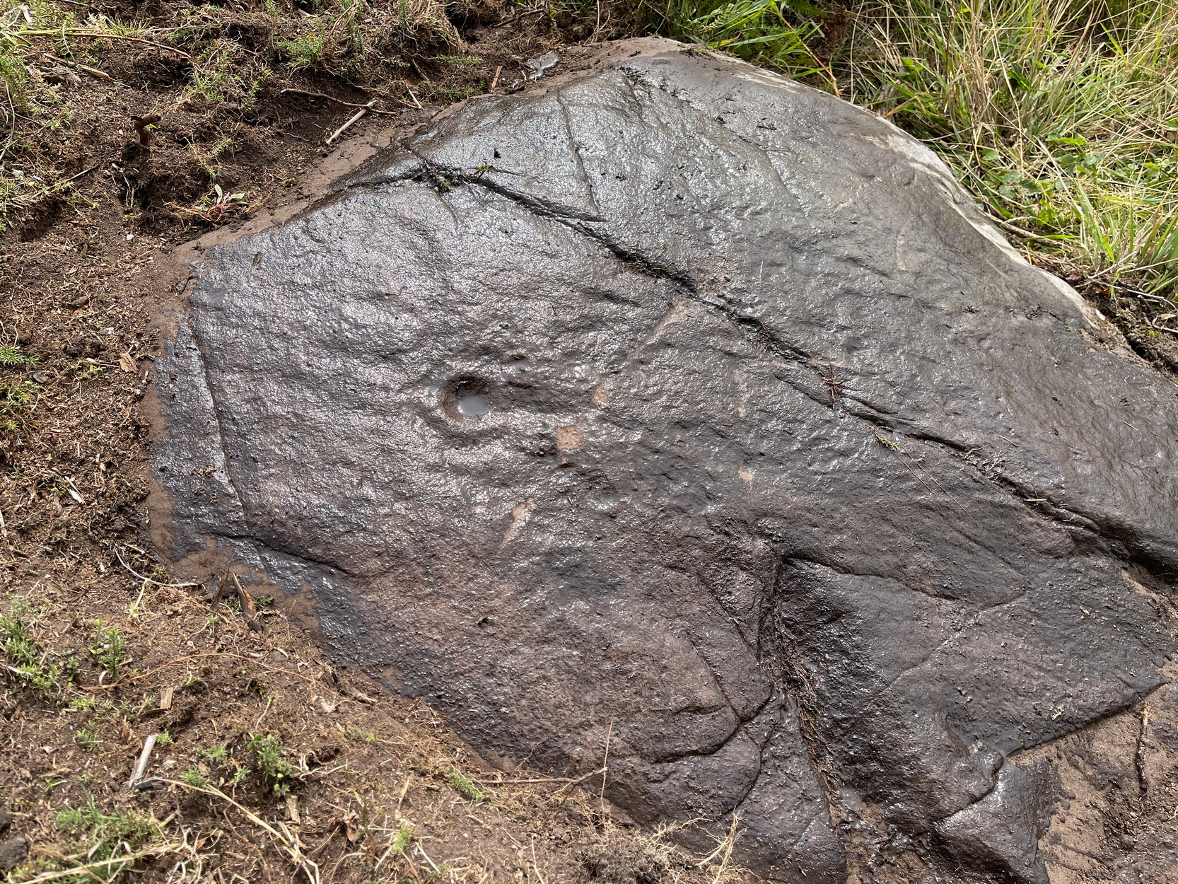
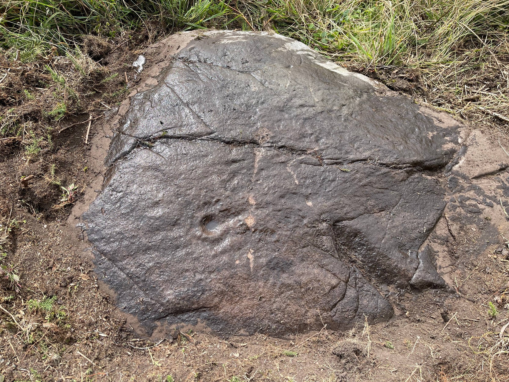
“When I went along with Mr Taylor to the spot, which, as we have said, had been railed off by the kindness of Mr Cowan, the manager, we found that the cist had been somewhat dismantled, the upper large stones were lying about the side of the cist, and along with them several smaller ones. We noted that the depth below the surface had been exaggerated in the Falkirk Herald, from the reporter having failed to notice that the earth had been heaped up on the spot when the present waggon railroad was made. We measured the cavity carefully: the length was 3 feet 8 inches, the greatest breadth 16½ inches, and the least 14 inches, the greatest depth to the bottom of the stones still standing was 15 inches. There were three large stones, each about 2 feet by 16 inches, which had been the roof of the cist. A young man who had watched our movements with some curiosity, went and brought an old man who had been present when the cist was opened — he told us strange tales of how these three large stones had all been one but were “jist fair rotten.” The fact that the stones showed no signs of ever having been one, and that their thicknesses being different — one being 5 inches, another 7½ inches, and a third 2½ inches — did not unduly disconcert him when questioned by Mr Taylor in cross-examination, but brought out from him the somewhat irrelevant information that he was seventy-nine and had been under “sax managers in Carron, and he should ken a’ aboot it.” He further declared that the smaller stones had been one stone also. This was even more difficult to believe, and when he proceeded to tell of a layer of fine powdered lime being laid between the stones we suspected his years had brought dotage, not increase of knowledge. I learned that the bones had been removed from the hut, and were in the keeping of the manager, so Mr Taylor kindly took me to see him in his house some two miles or so from the place where the cist was found. He told us that he had arranged for their safe custody, but had never seen them, and asked me to come some other day, not a Saturday.
“I went again on Friday week, and saw another of the workmen, and a gentleman from Carron works. This other workman had not his friend’s great age, and admitted that the stones were not one originally, and that the small ones formed part of the sides. If those small stones were built up on the existing walls of the cist, their height would be brought up to about 2 feet in all.
“I noted carefully that the joints were not filled up with clay, and that neglecting the variation of the compass, the cist lay due north and south. The gentleman who had been sent by Mr Cowan, when asked about the bones, took out of his pocket what seemed a box for holding twelve gross of pens, and opened it; it was filled with a mass of small fragments of bone quite friable and utterly indistinguishable…”