Enclosure: OS Grid Reference – SD 9147 6965
Also Known as:
- Dewbottoms (northeast)
Getting Here
From Arncliffe village, walk past the front of the Falcon Inn village pub and along the track called the Monk’s Road. After a short distance it becomes a dirt-track where the old house lives. Less than 200 yards past the old house, a footpath takes you over the wall, then you walk 200+ yards southwest and through another wall, then up the curvaceous footpath diagonally WSW up the steep hill until you go over another wall where the land levels out. Follow the footpath along the edge of the steep drop for just over a mile where you’ll cross the fifth wall (the Clowder (1) enclosure is up above you by the rock outcrop to the left) and 100 yards along, just north of the footpath, you’ll see a large hollow defined by rocks and low walling. You’ve arrived!
Archaeology & History
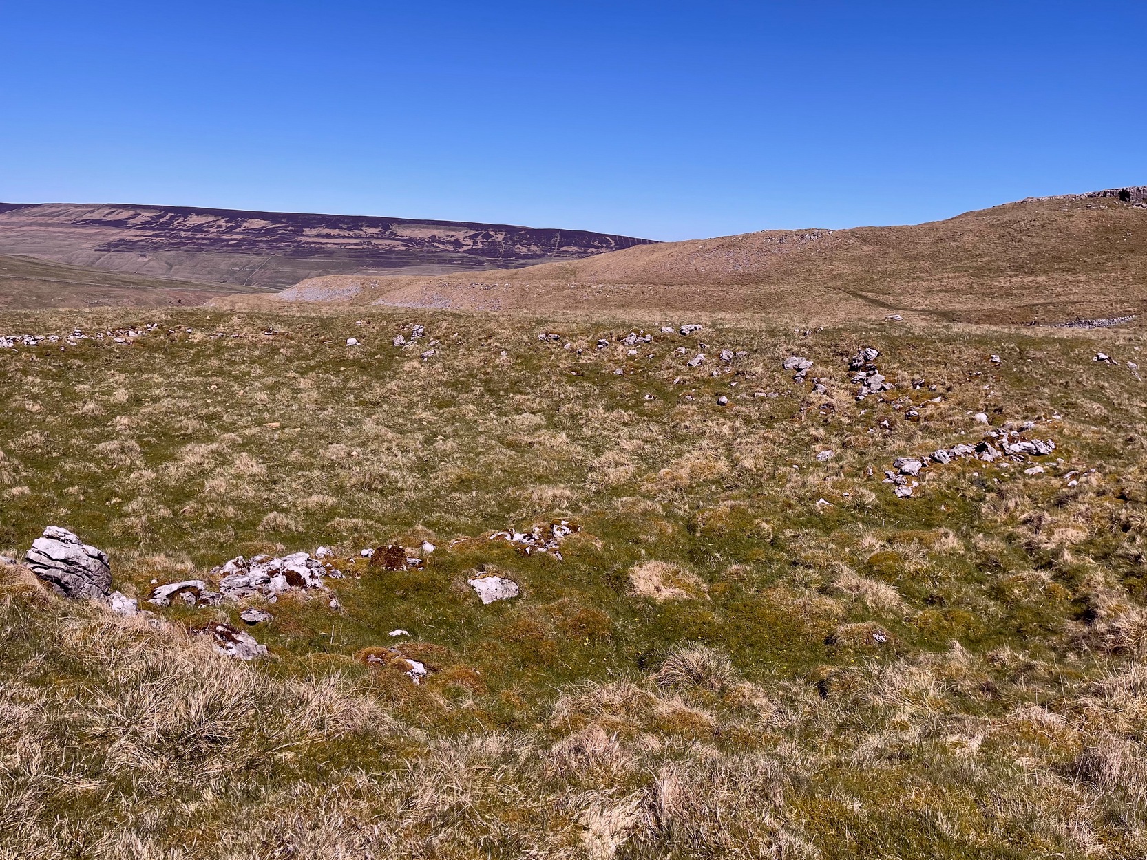
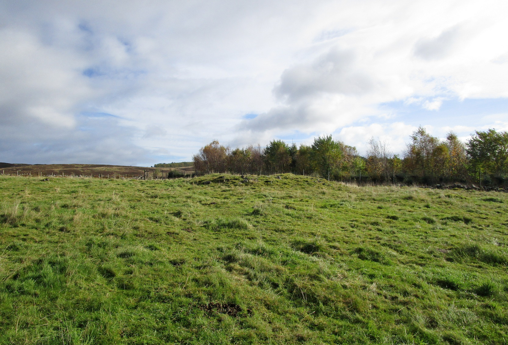
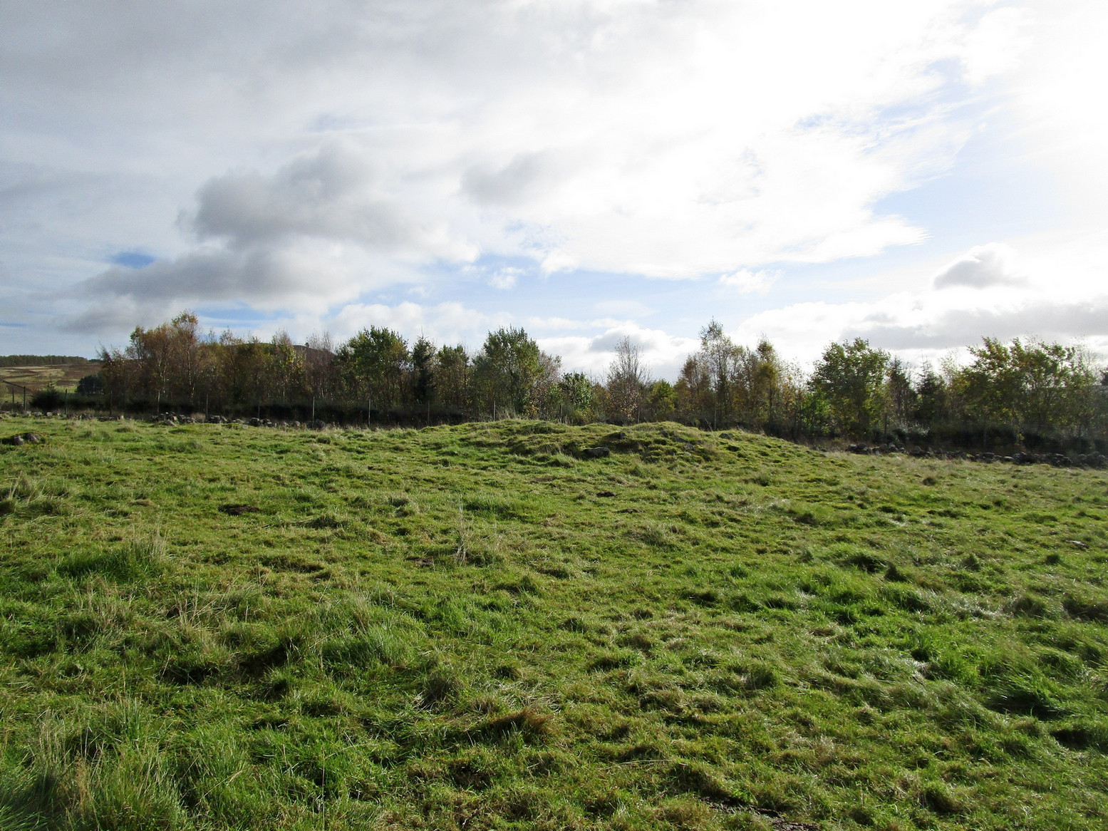
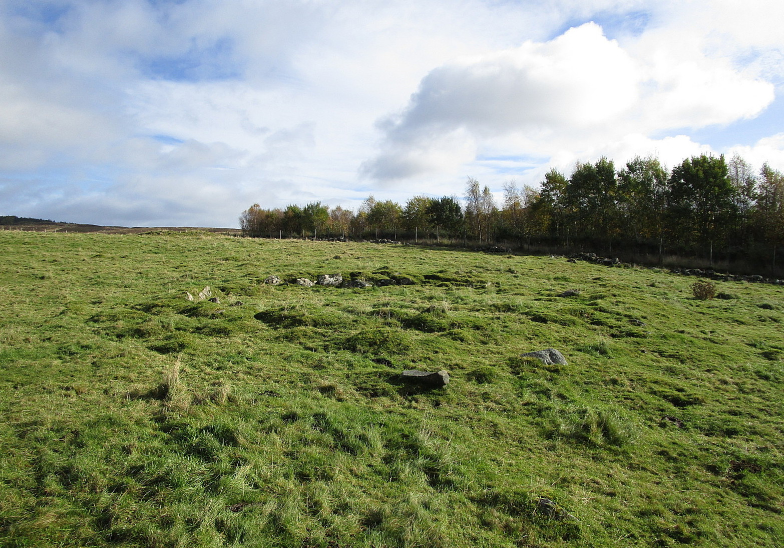
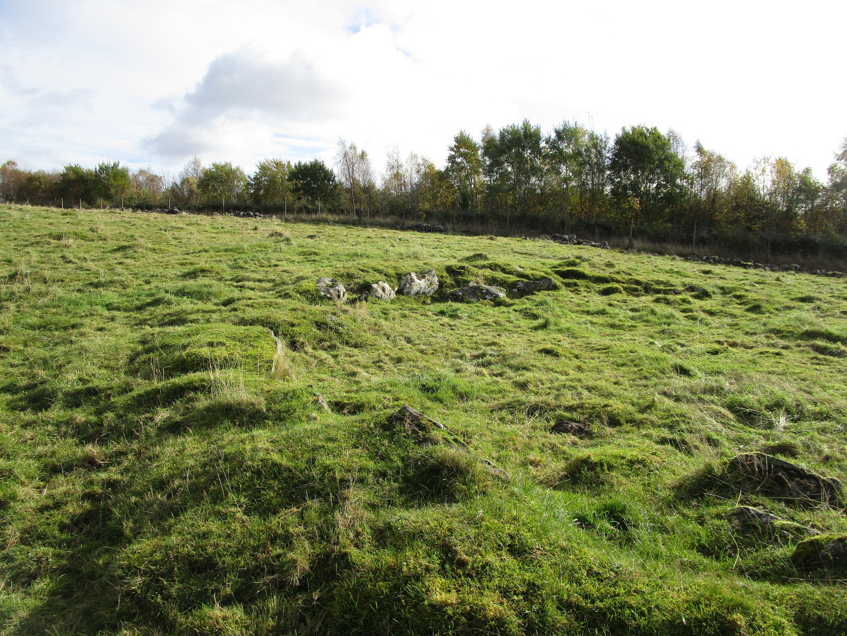
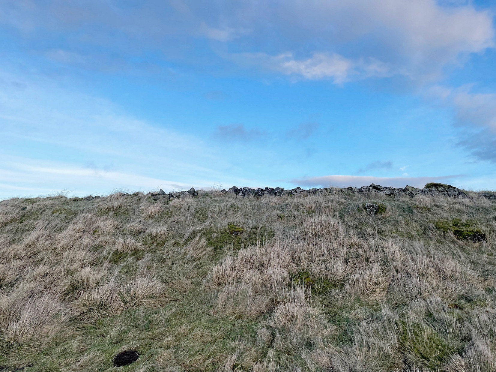
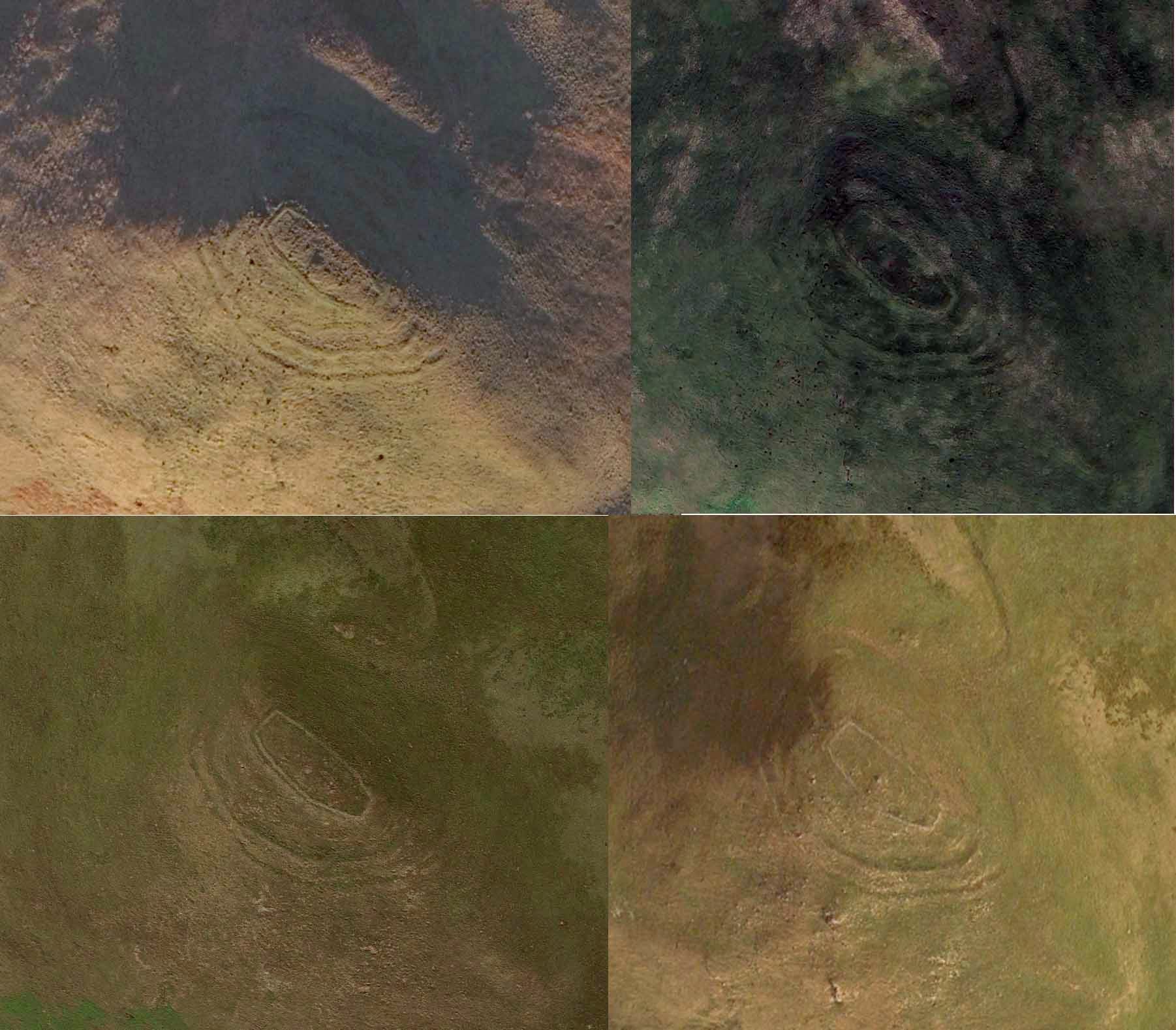
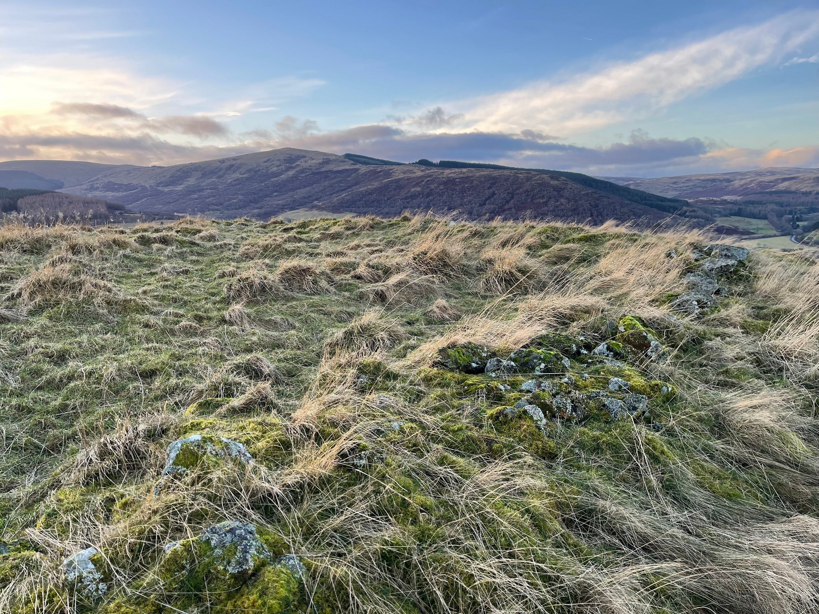
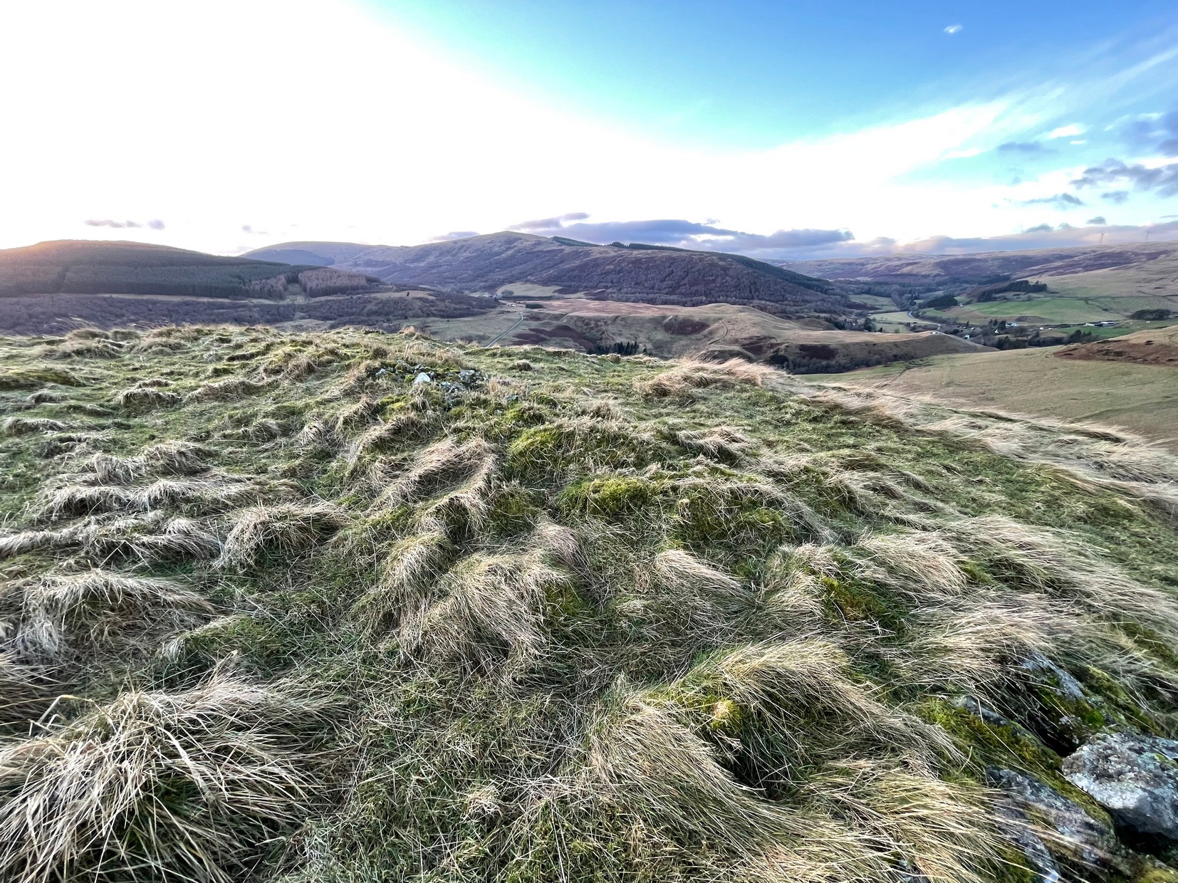
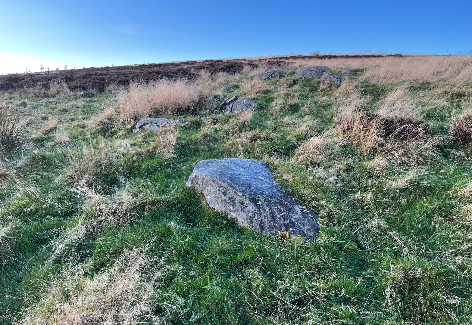
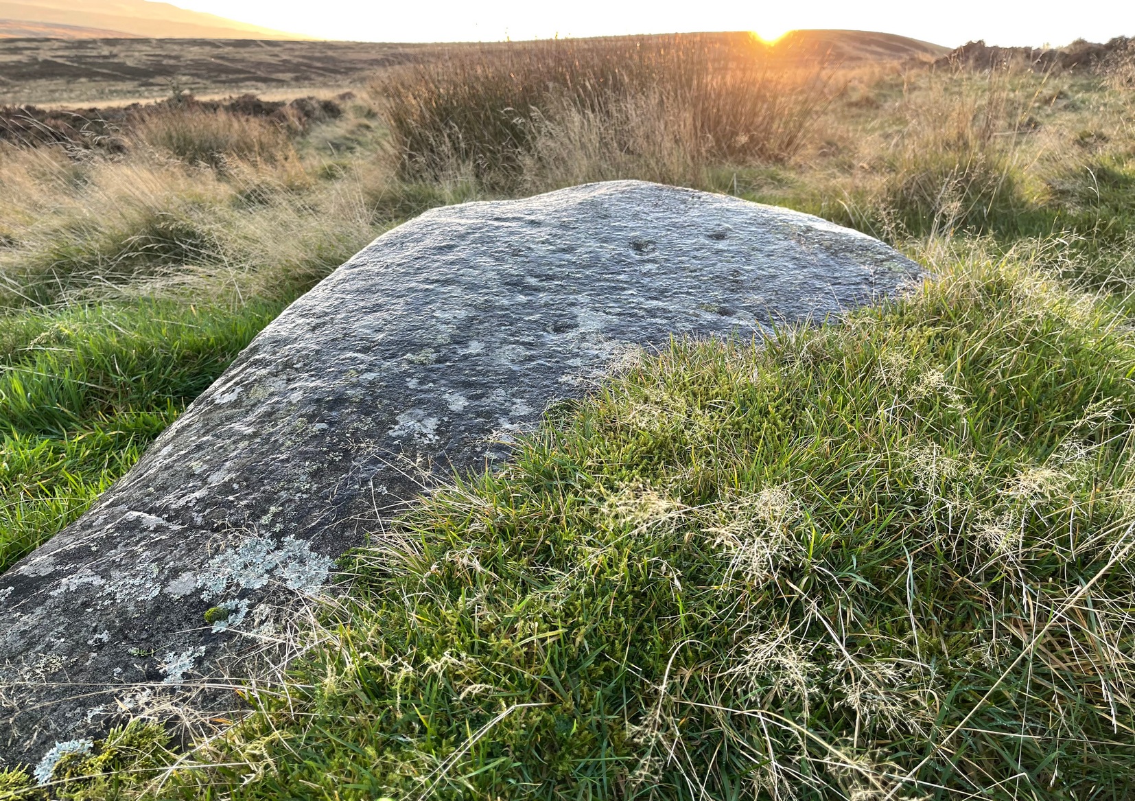
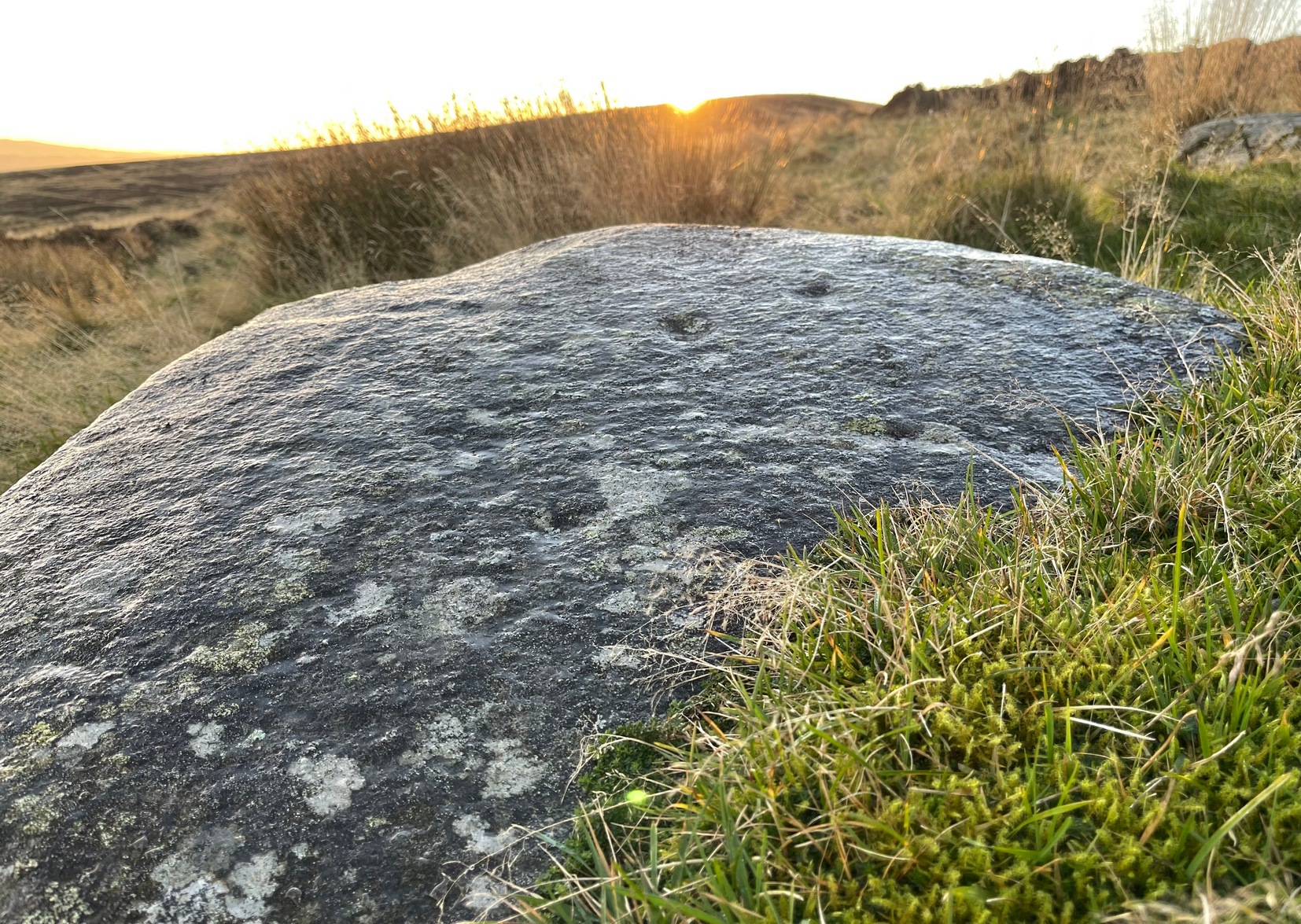
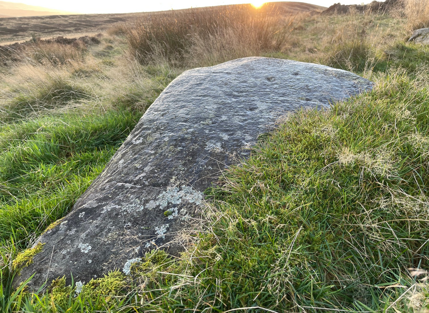
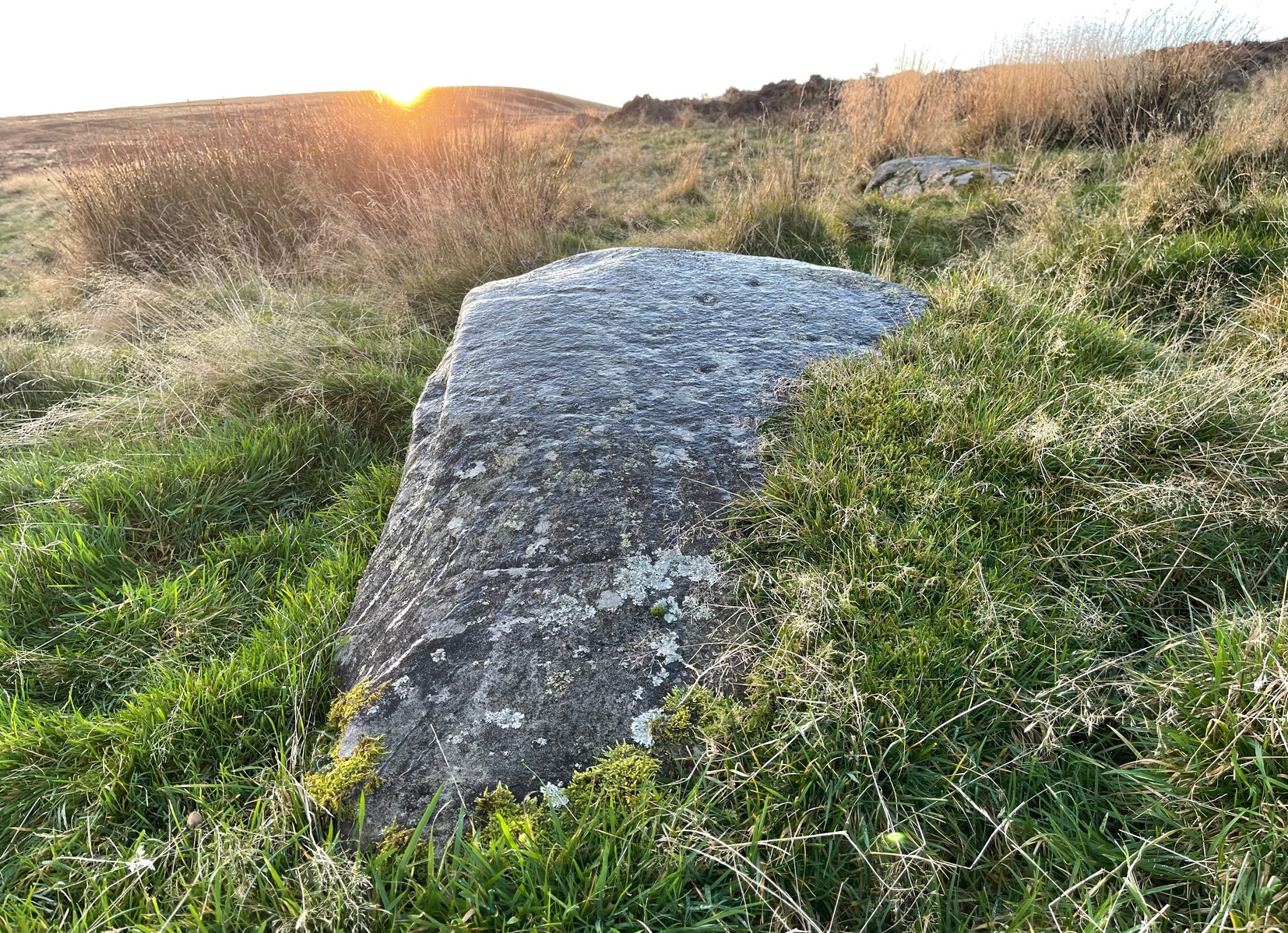
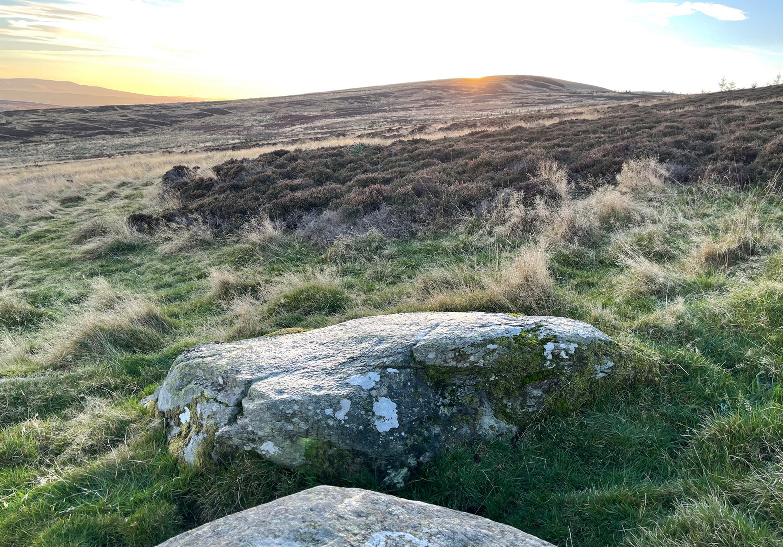
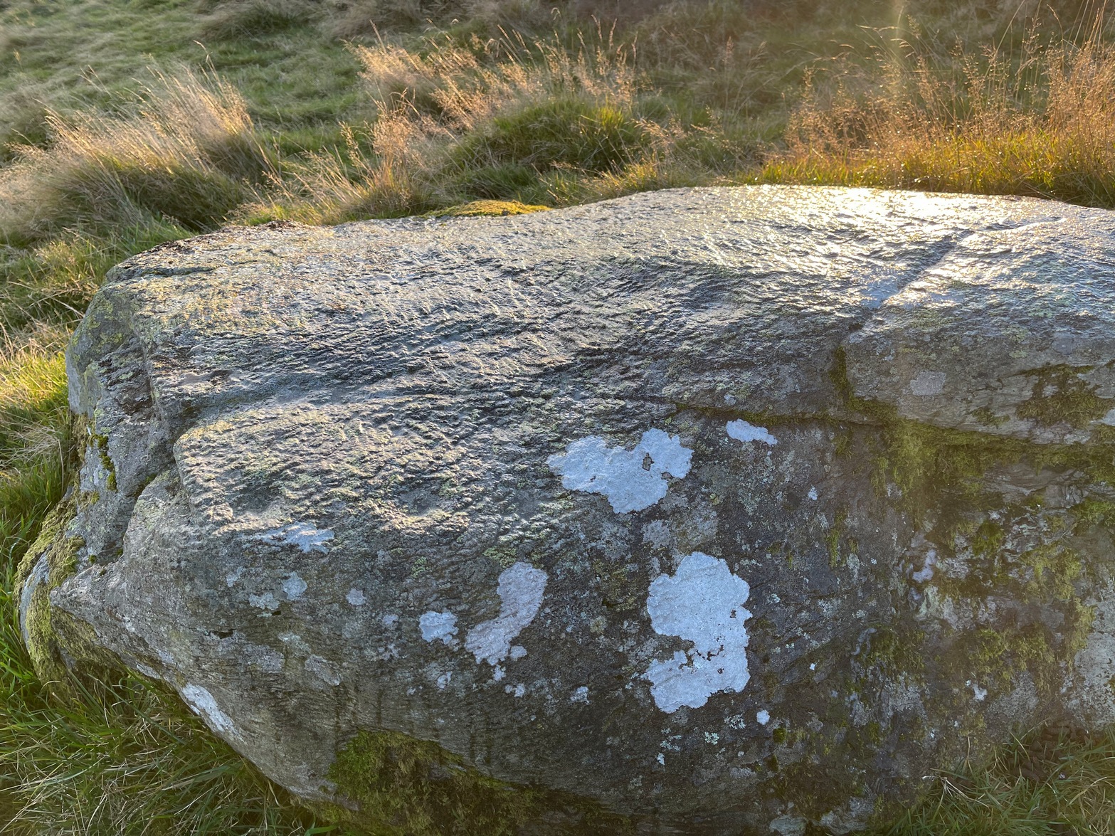
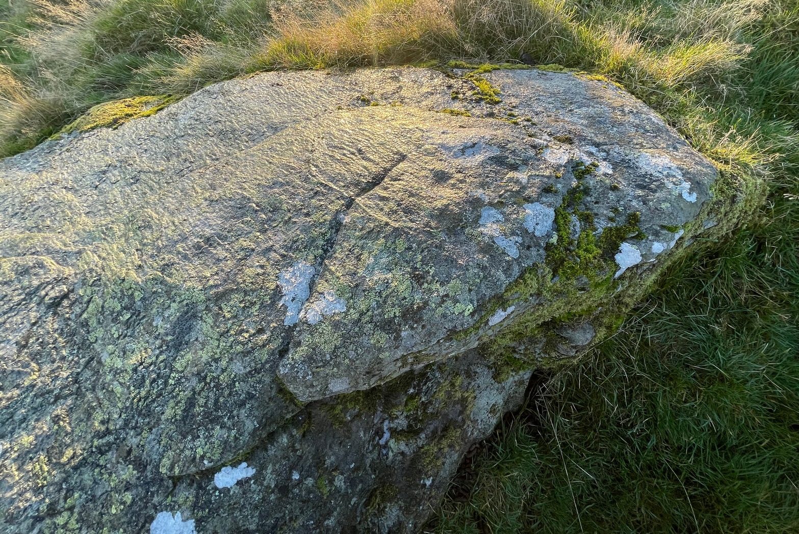
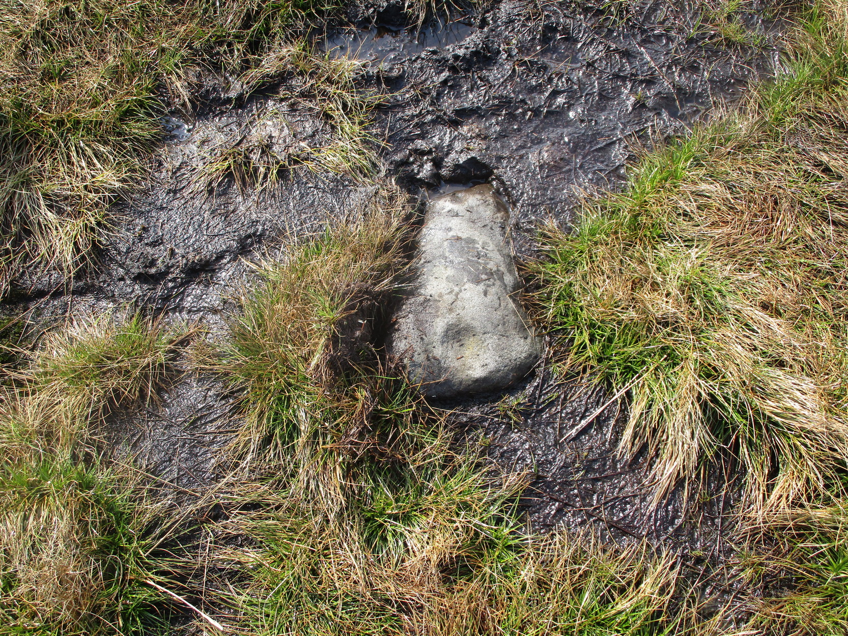
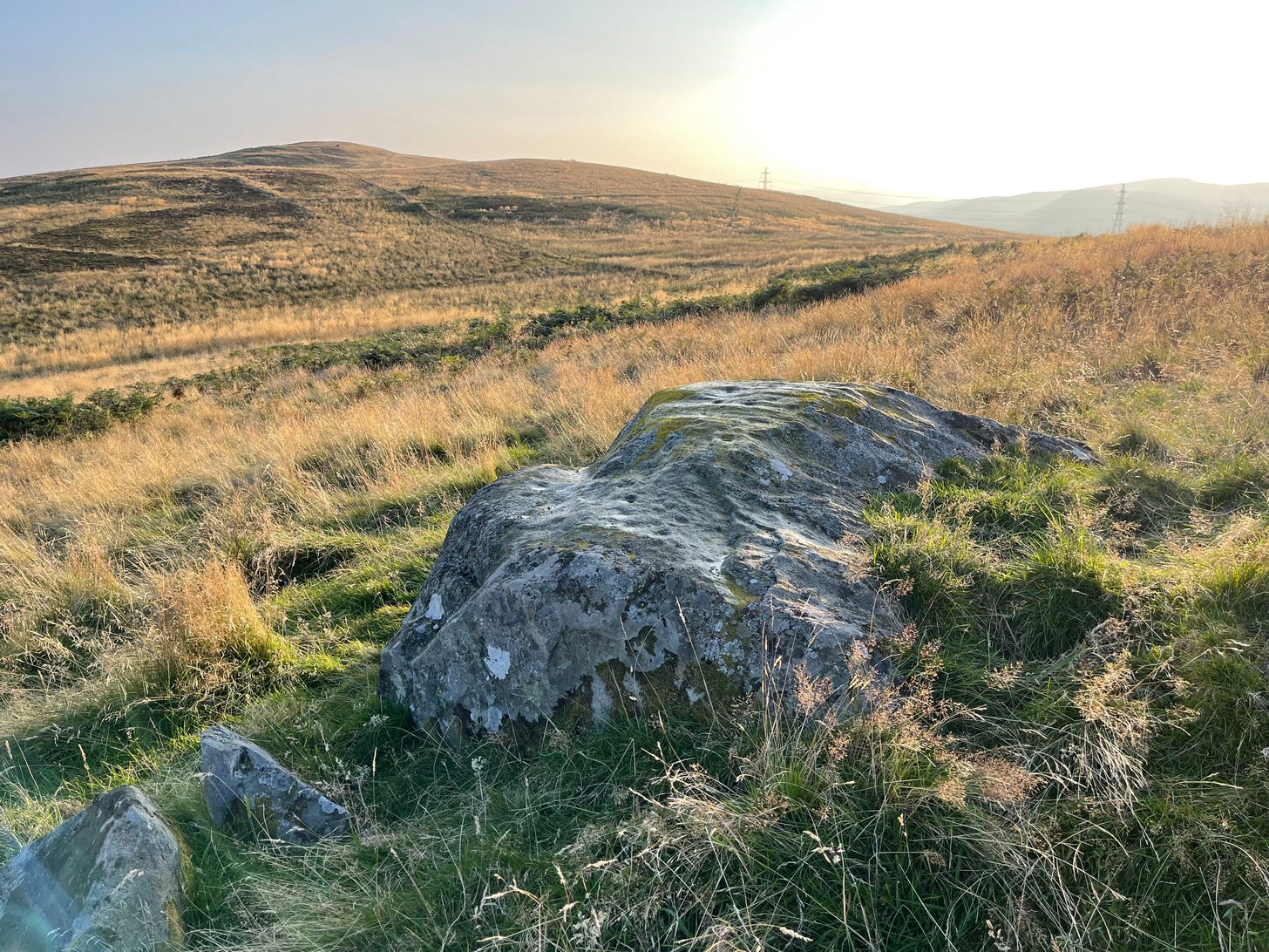
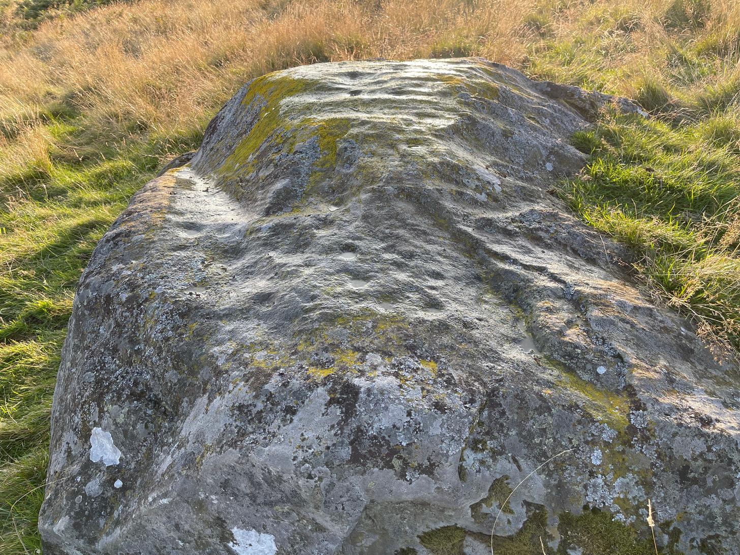
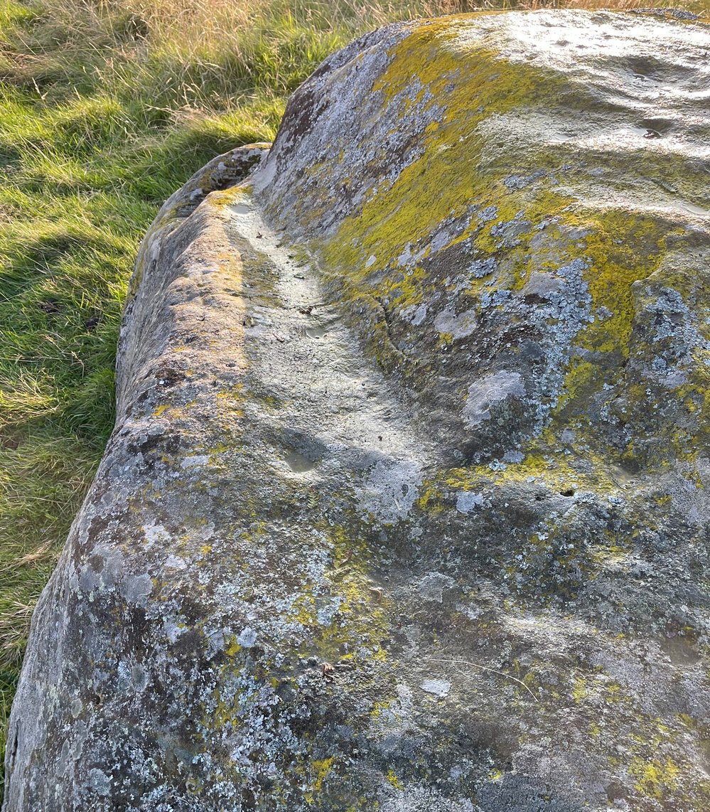
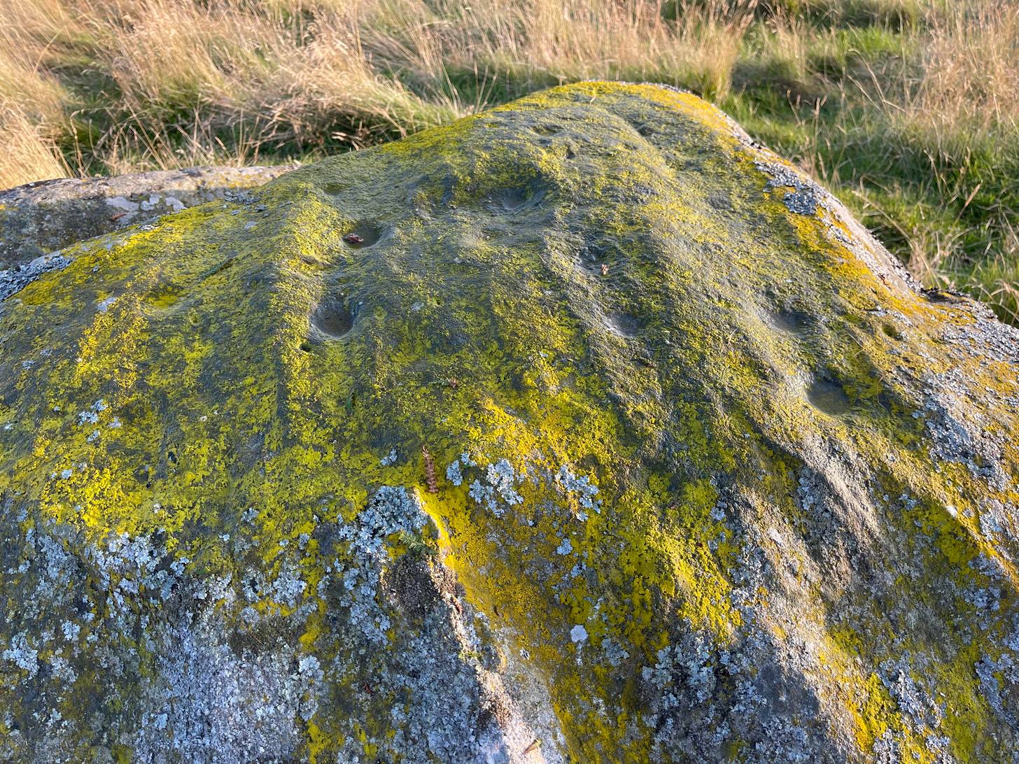
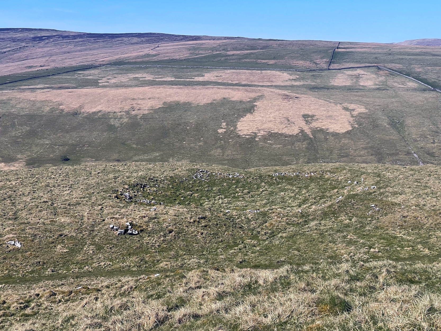
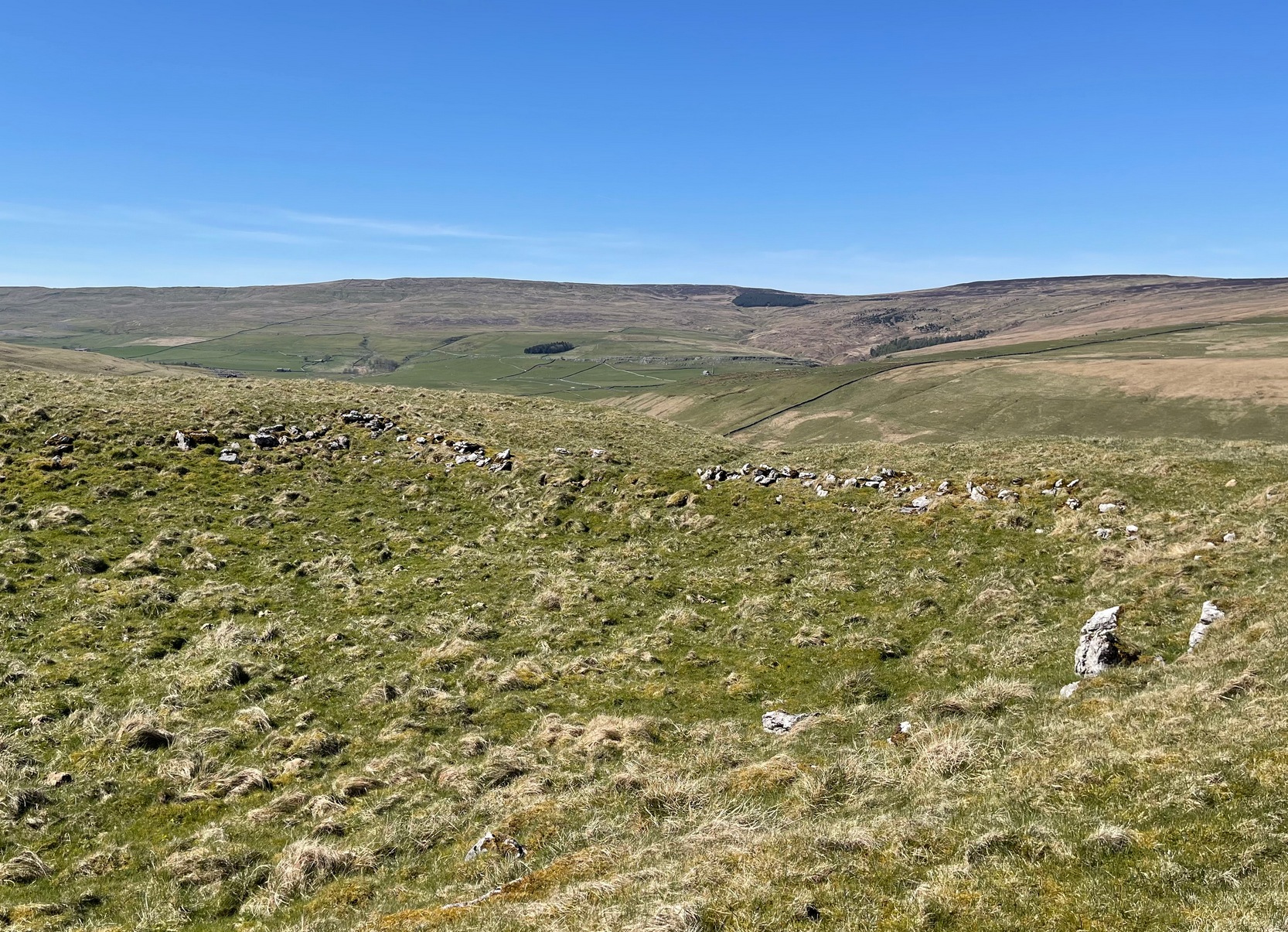
Amidst the scattered remains of the extensive Dewbottoms settlement complex, this large hollowed walled enclosure is pretty clear to see. Measuring 40 yards north-south across its longest axis and 31 yards east-west, the structure is like an erratic rectangle in shape, with entrances in the middle of its northern wall and, perhaps, another along the southern side too. It’s quite deep too, being several feet lower than the land around it, keeping it protected from any strong winds above: an ingredient that would obviously have been taken into consideration when it was being built. The walling that defines the structure is a contrived mix of Nature’s own semi-circle of earthfast limestone rock, with intermittent gaps filled-in with thousands of small stones placed there by humans, 2-3000 years ago. It’s quite impressive when you see it in the flesh.
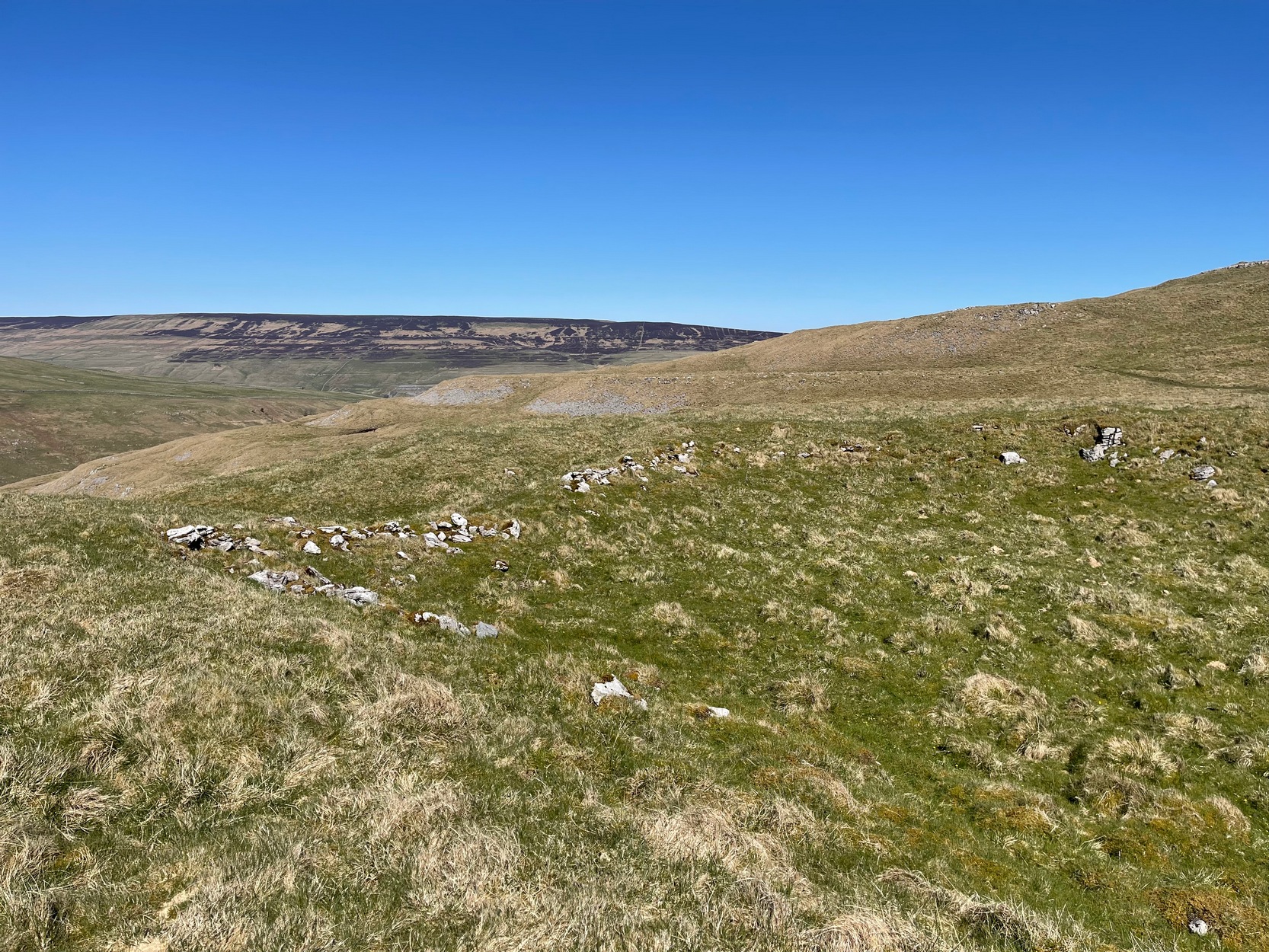
The site appears to have an Iron Age to Romano-British pedigree – although I’m hedging a bet that the place was probably still in use during medieval times. The enclosure has the appearance of some sort of prehistoric village hall. There are no hut circles or any other walled structures inside the overall enclosure, meaning it may have been used, perhaps, for tribal village gatherings; or it might just have been a large enclosure for cattle. Only an excavation would tell us one way or the other.
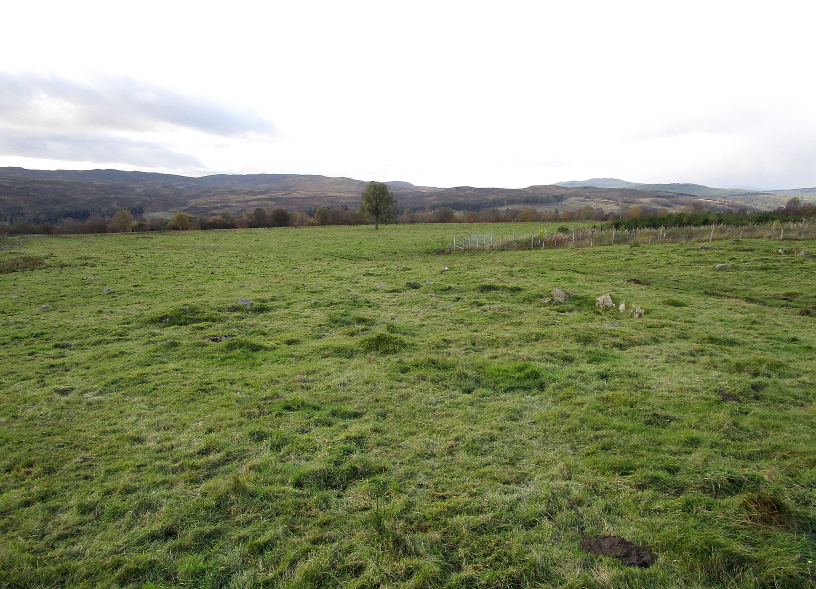
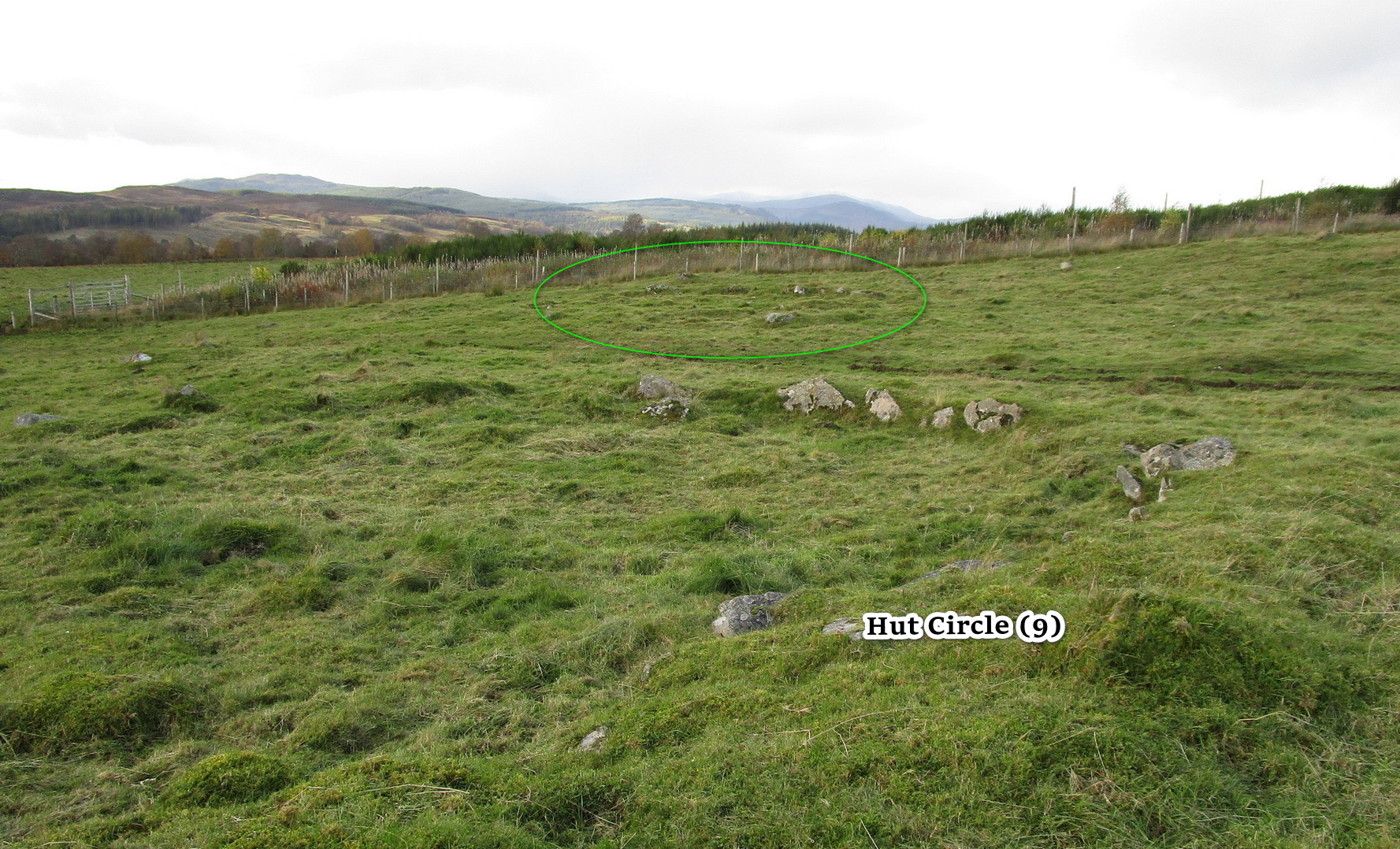
Anyhow, if you’re coming up to see the Dewbottoms complex from Arncliffe, this is the first main thing that you’ll come across. From here, to your immediate south and west, there’s a mass of prehistory beneath your feet. Make a long day out of it as you’re gonna be somewhat overwhelmed by the magnitude of it all.
References:
- Charlesworth, D., ‘Iron Age Settlements and Field Systems,’ in Proceedings of the Archaeological Journal, 125, 1968.
- Dixon, John & Phillip, Journeys through Brigantia – volume 2, Aussteiger: Barnoldswick 1990.
- Raistrick, Arthur & Holmes, Paul F., Archaeology of Malham Moor, Headley Brothers: London 1961.
© Paul Bennett, The Northern Antiquarian