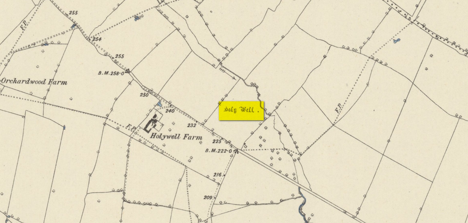
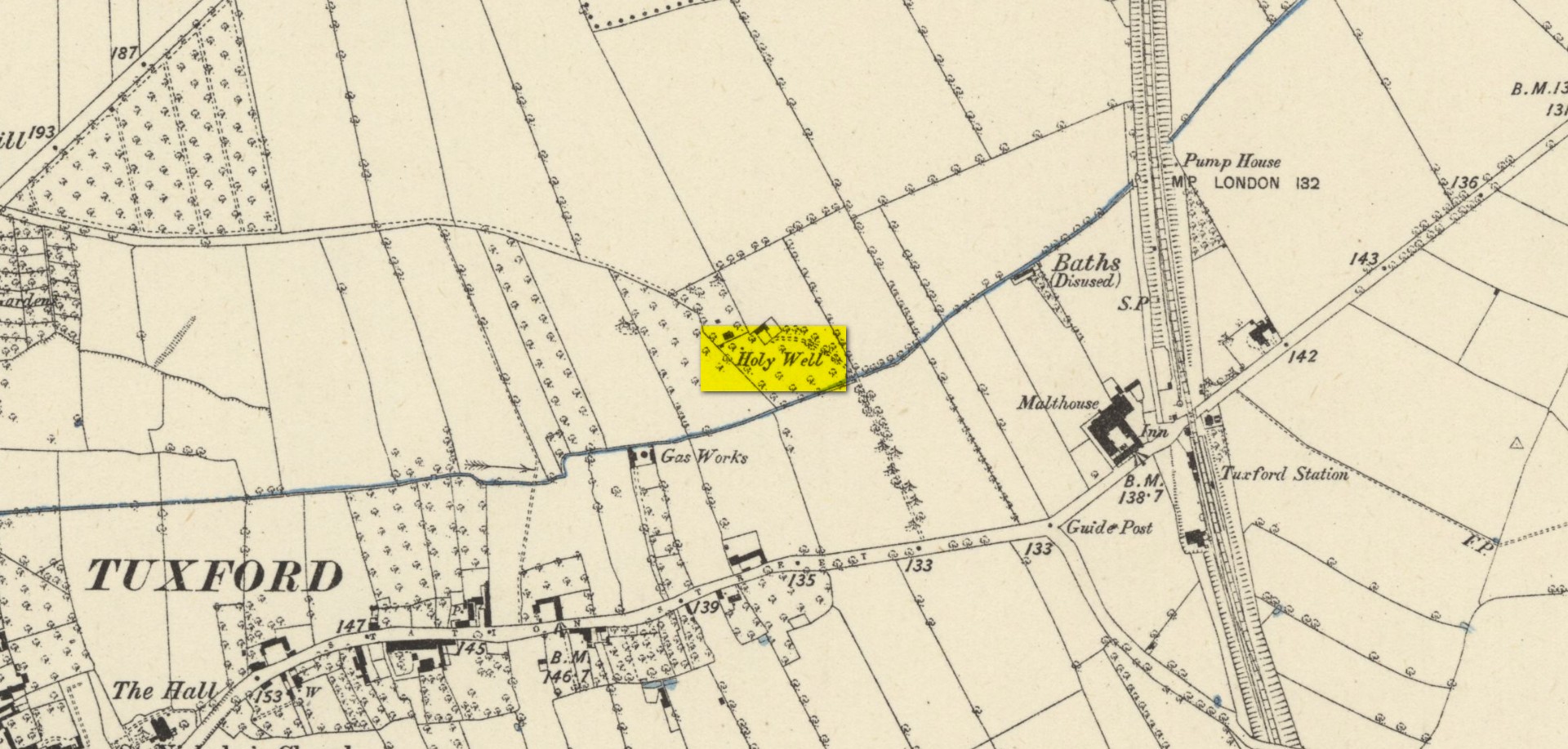
Holy Well (destroyed): OS Grid Reference – NN 9677 5199
Also Known as:
- Fuaran Chad
- St. Cedd’s Well
Archaeology & History
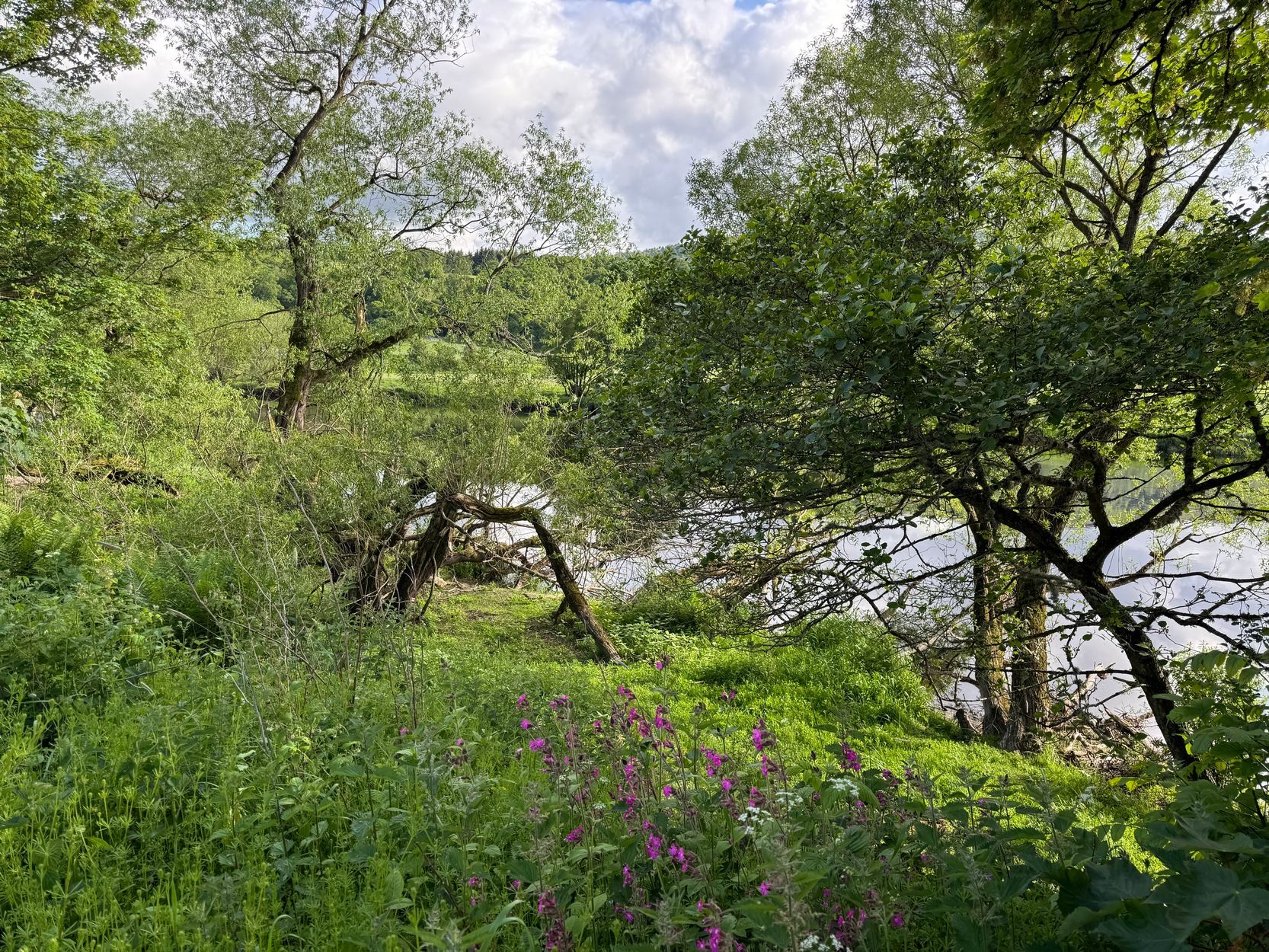
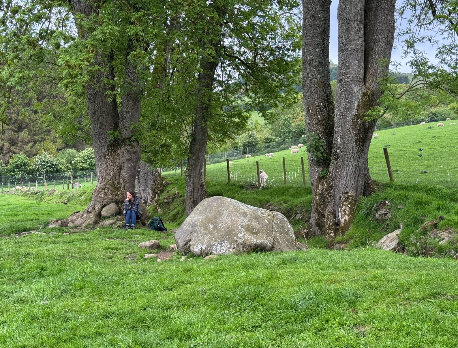
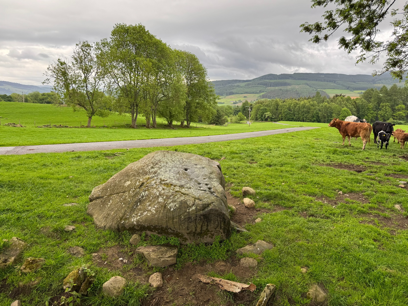
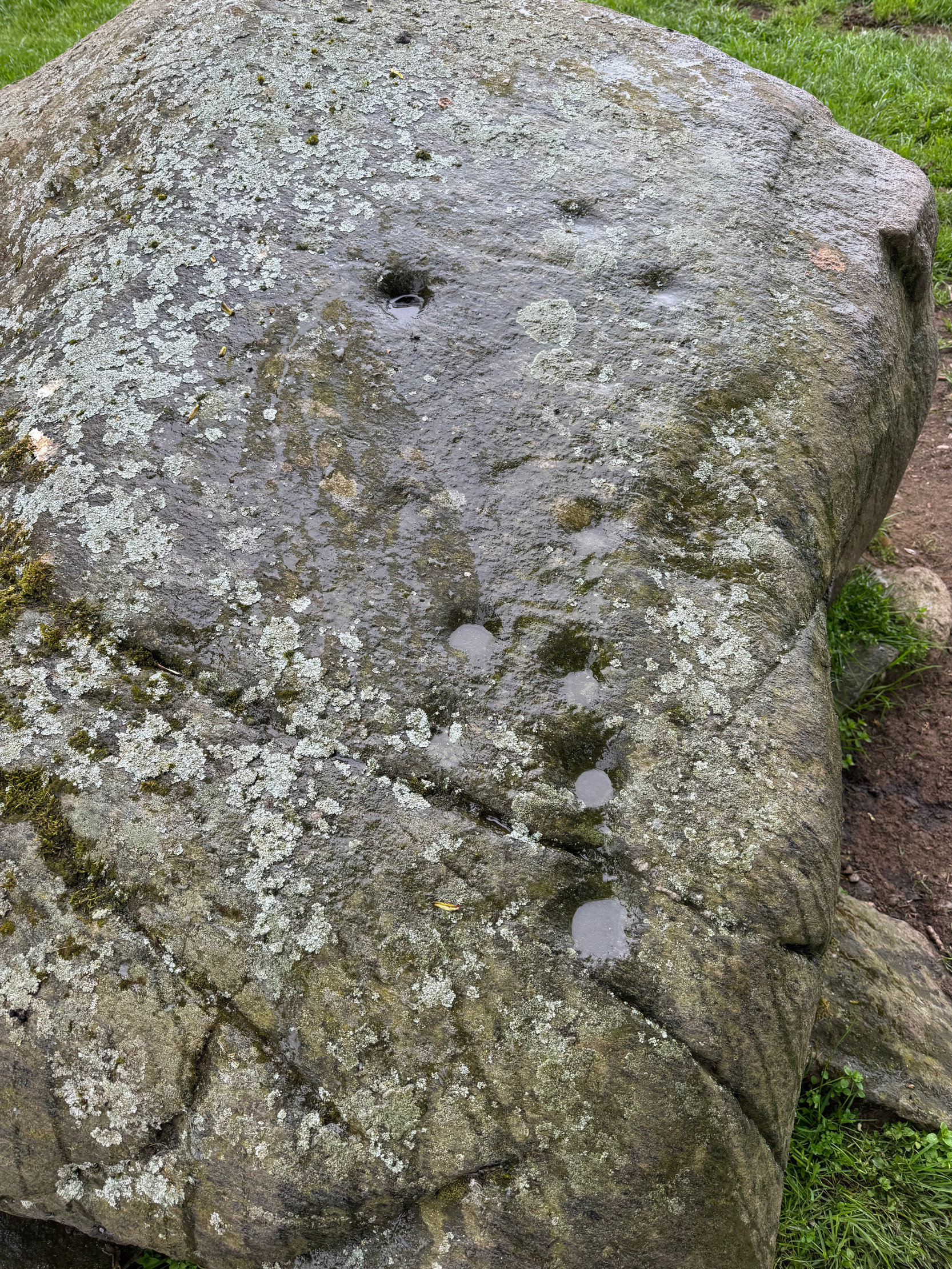
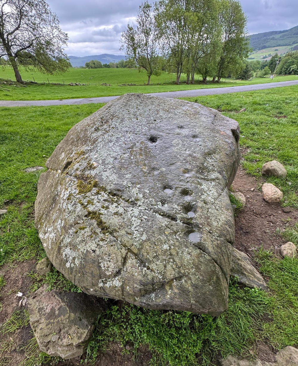
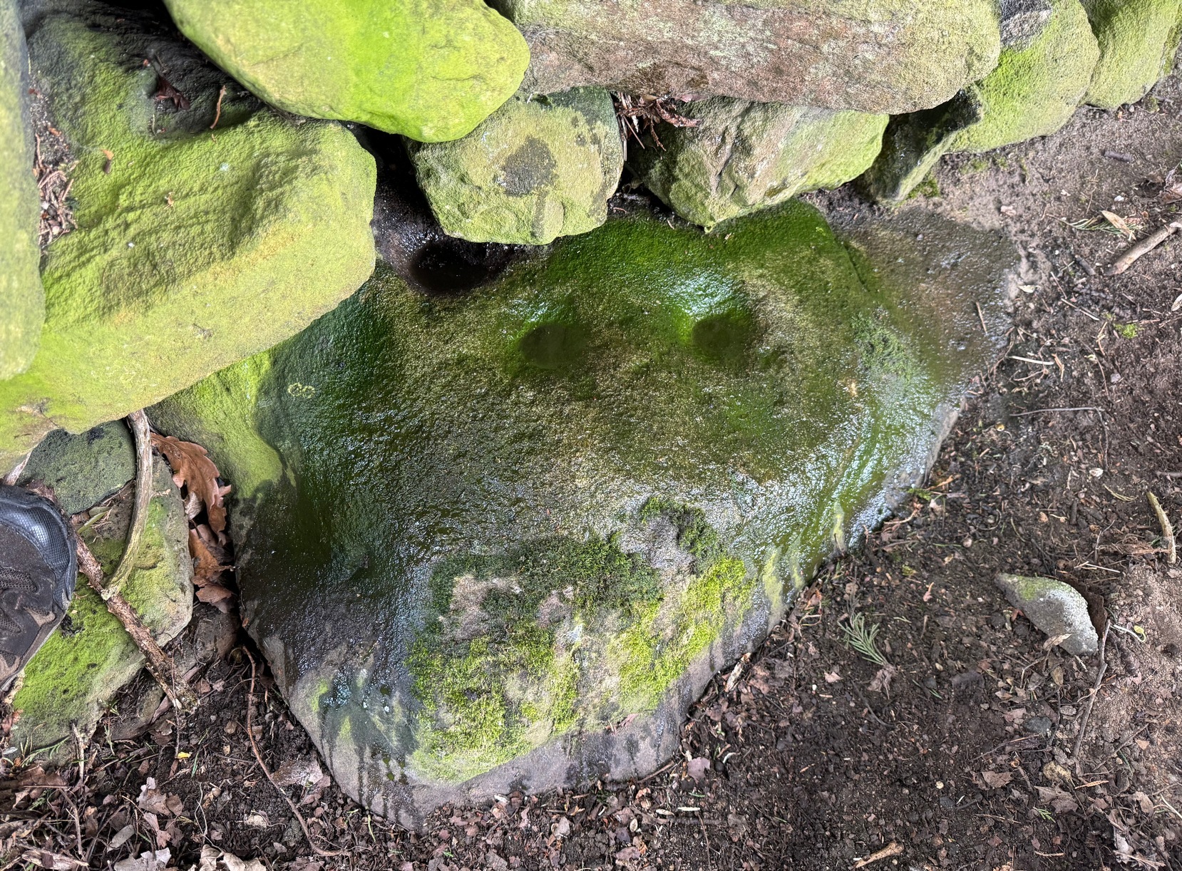
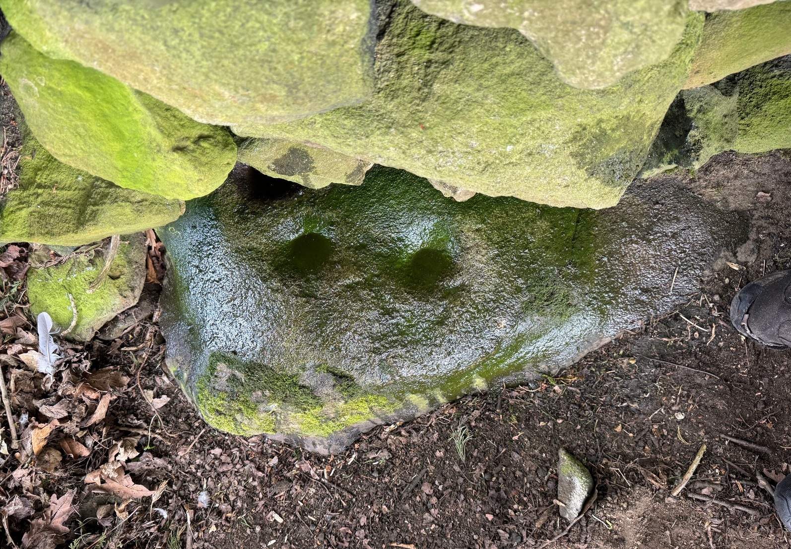
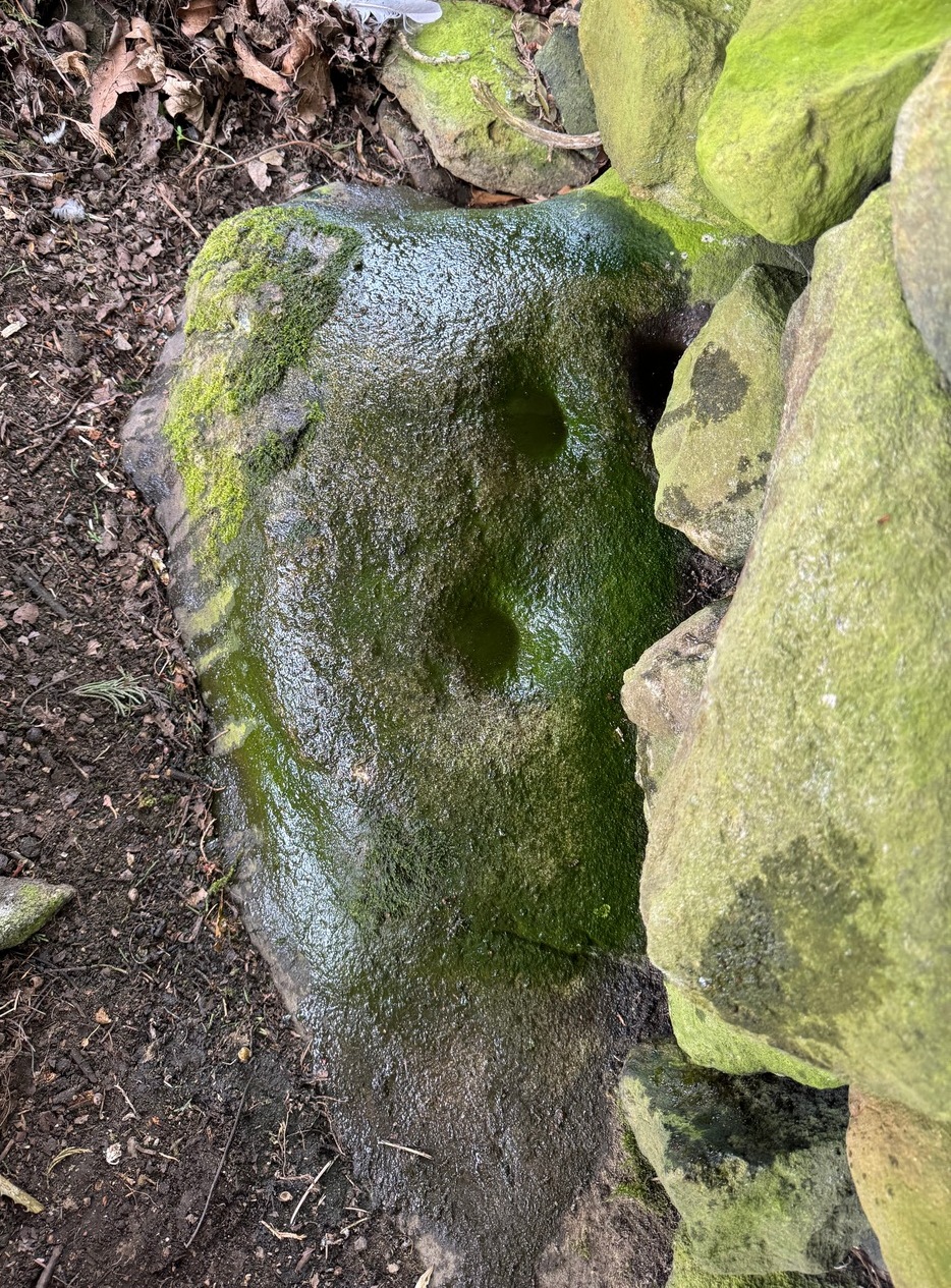
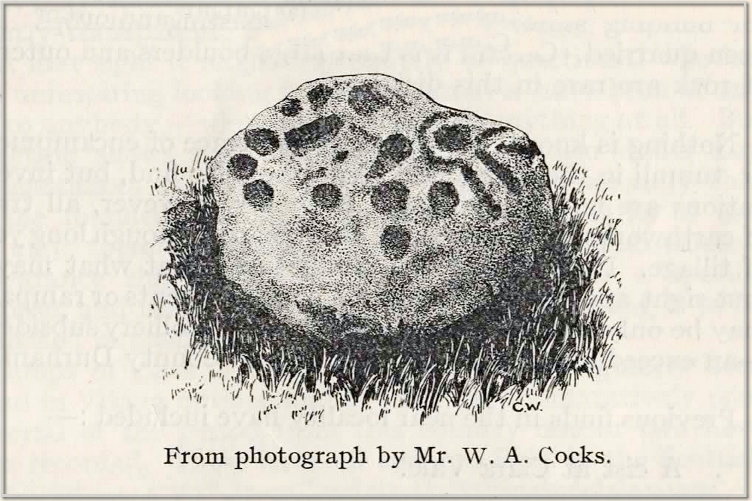
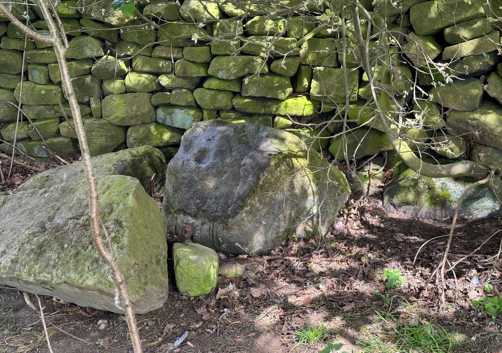
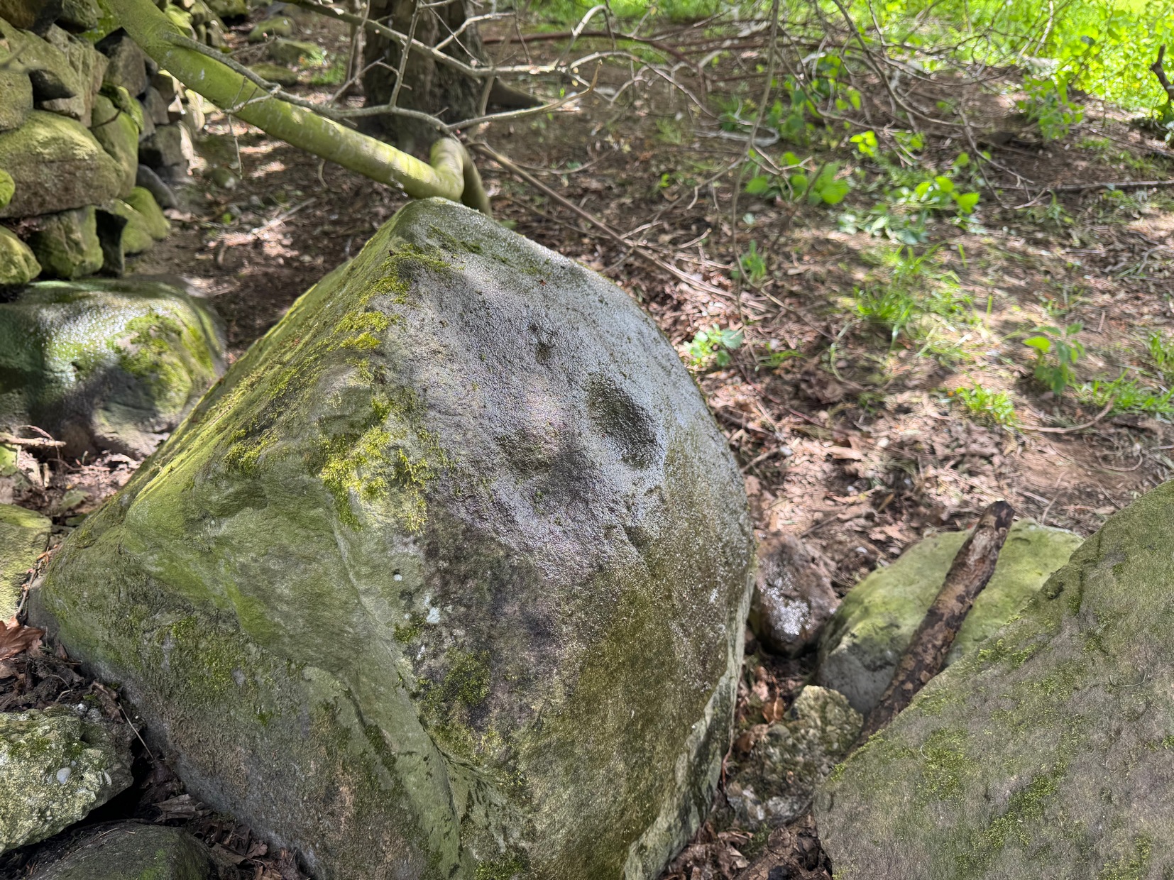
All trace of this once renowned holy well seems to have gone. It was located, according to the local historian James Kennedy (1927) “on the terrace behind the Church”; although Charles Stewart (1880) earlier told that it was found on the hillside above the church. On our recent visit here, the level piece of land just above the River Tay, “on the terrace behind the Church” as Kennedy told, had no notable spring of water upon it—but we didn’t check the slope above the road to see if there was anything there. By all accounts it’s long since gone.
There’s also slight confusion regarding the dedication of this well. Kennedy, once more, ascribed it to have been St Cedd’s Well, the brother of St Chad, and not Chad himself who was venerated here. But this wasn’t the view of MacKinlay (1893) or Knight (1933) in their major studies. But let’s leave that element to the hagiologists for the time being!
Tradition told that the spirit of the waters was deeply offended when the annual market in Logierait—dedicated to St Chad/Ched on his saint’s day of August 22—was stopped. As a result the waters removed themselves and fell back to Earth. This curious motif is found at a number of wells in other parts of the country.
References:
- Kennedy, James, Folklore and Reminiscences of Strathtay and Grandtully, Munro Press: Perth 1927.
- Knight, G.A.F., Archaeological Light on the Early Christianizing of Scotland – volume 2, James Clarke: London 1933.
- MacKinlay, James M., Folklore of Scottish Lochs and Springs, William Hodge: Glasgow 1893.
- MacKinlay, James M., Influence of the Pre-Reformation Church on Scottish Place-Names, William Blackwood: Edinburgh 1904.
- Mitchell, Hugh, Pitlochry District: Its Topography, Archaeology and History, L. Mackay: Pitlochry 1923.
- Morris, Ruth & Frank, Scottish Healing Wells, Alethea: Sandy 1982.
- Stewart, Charles, The Gaelic Kingdom in Scotland, Maclachlan & Stewart: Edinburgh 1880.
© Paul Bennett, The Northern Antiquarian