Cairnfield: OS Grid Reference – NN 790 168 (centred)
Getting Here
Simply follow the directions to reach the Dunruchan monoliths ‘D’ and ‘E’ and then zigzag through the heather to their immediate south—from just a few dozen yards away, to up to 300 yards west. Keep your eyes peeled for the stoney little rises in the heather as you walk back and forth and you’ll see at least some of these cairns.
Archaeology & History
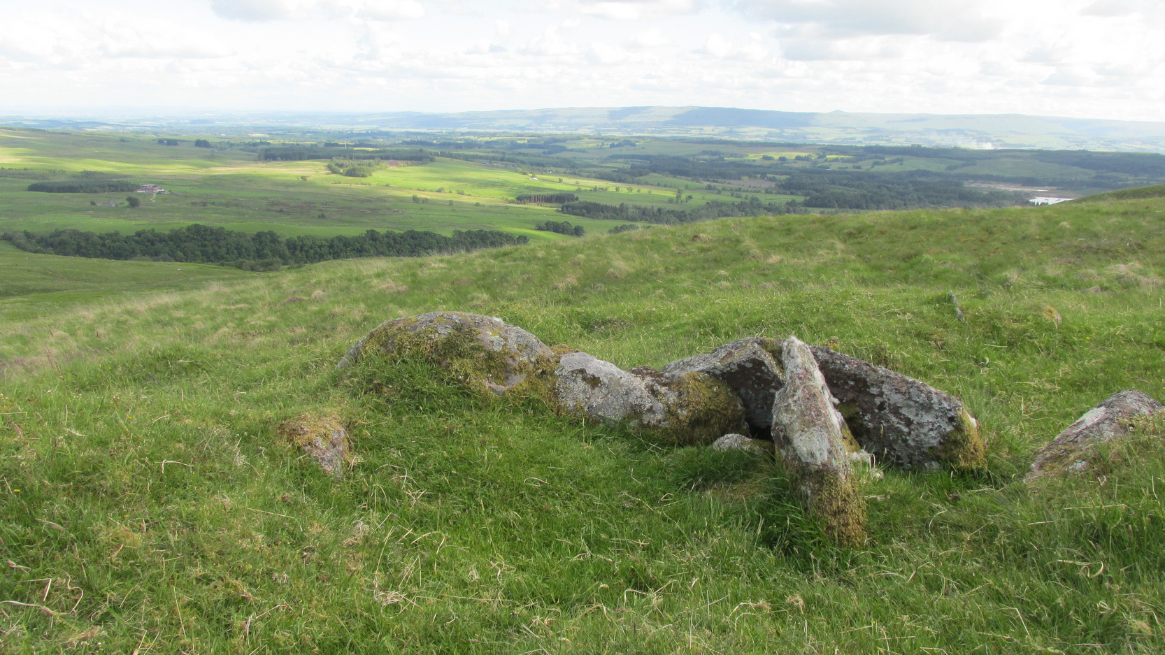
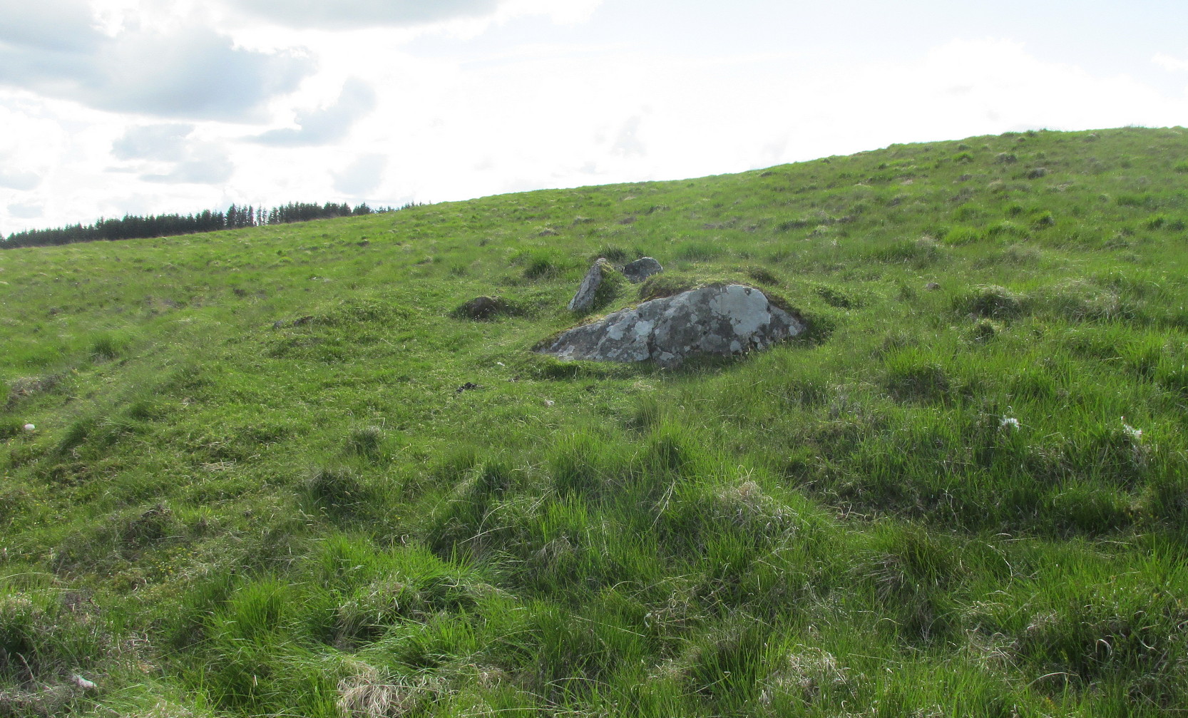
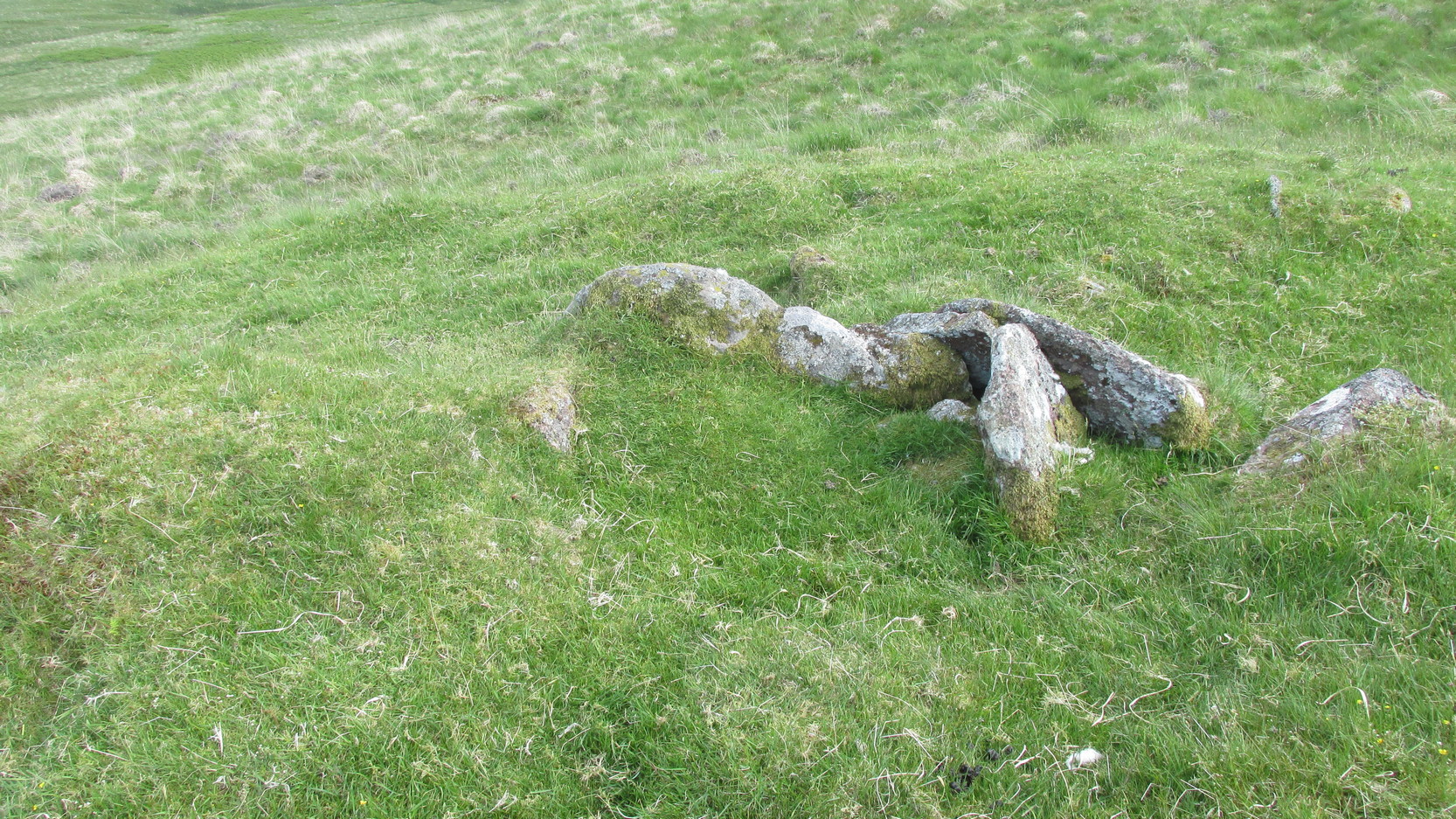
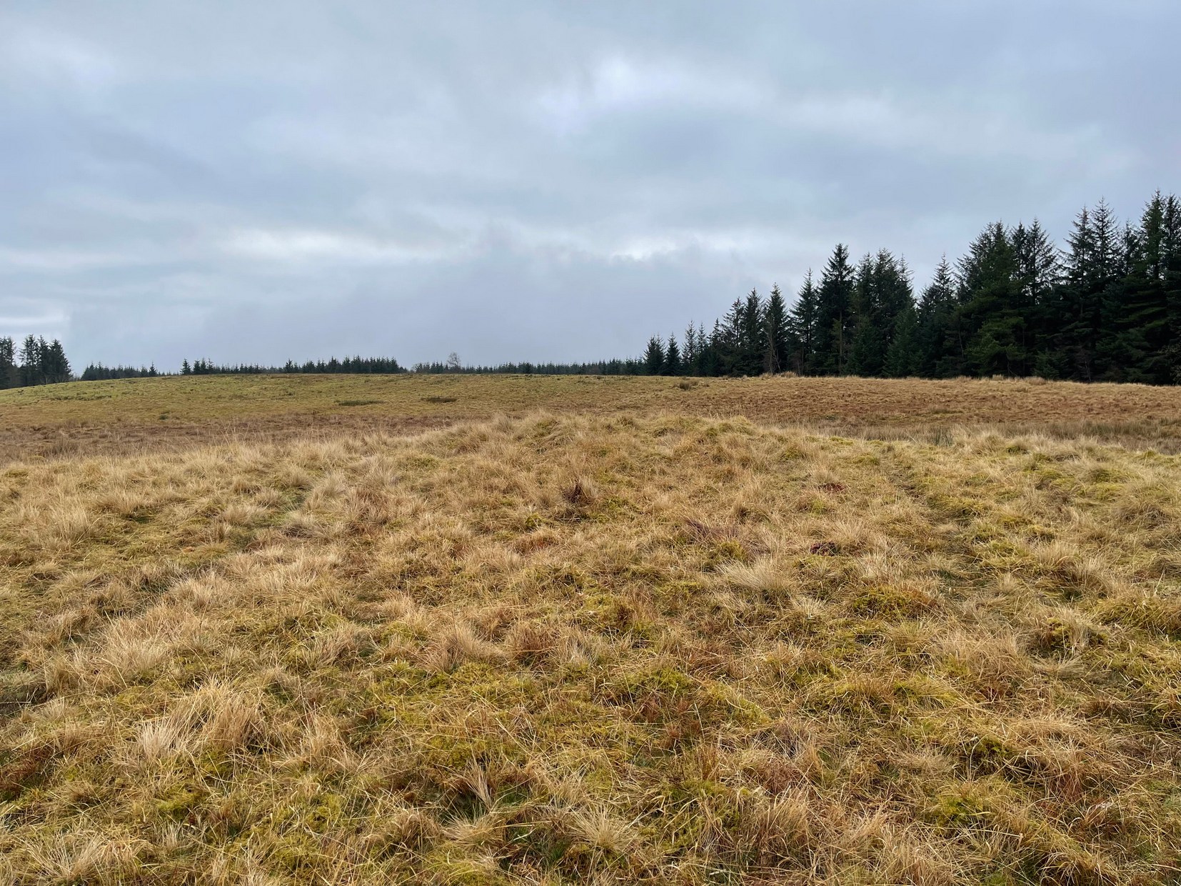
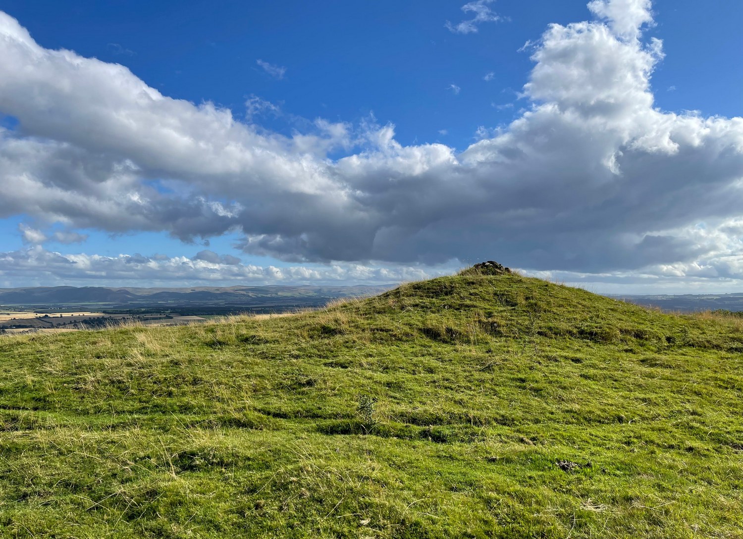
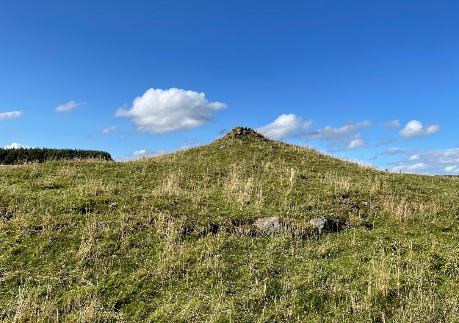
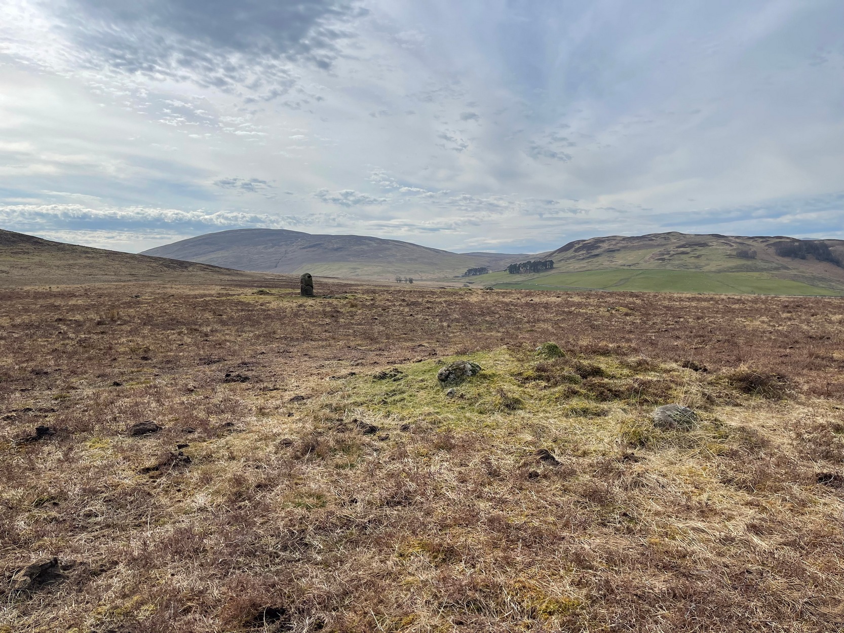
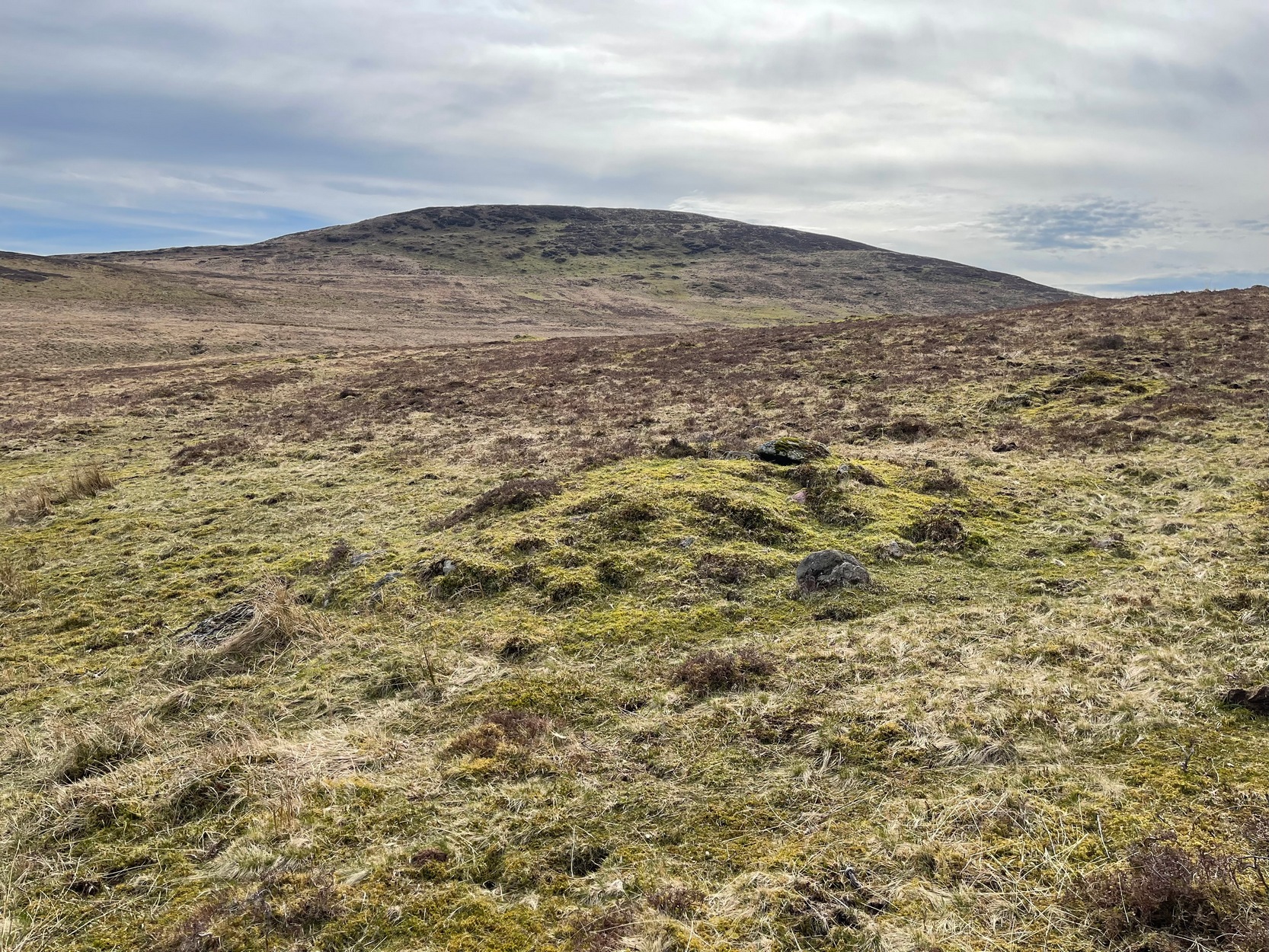
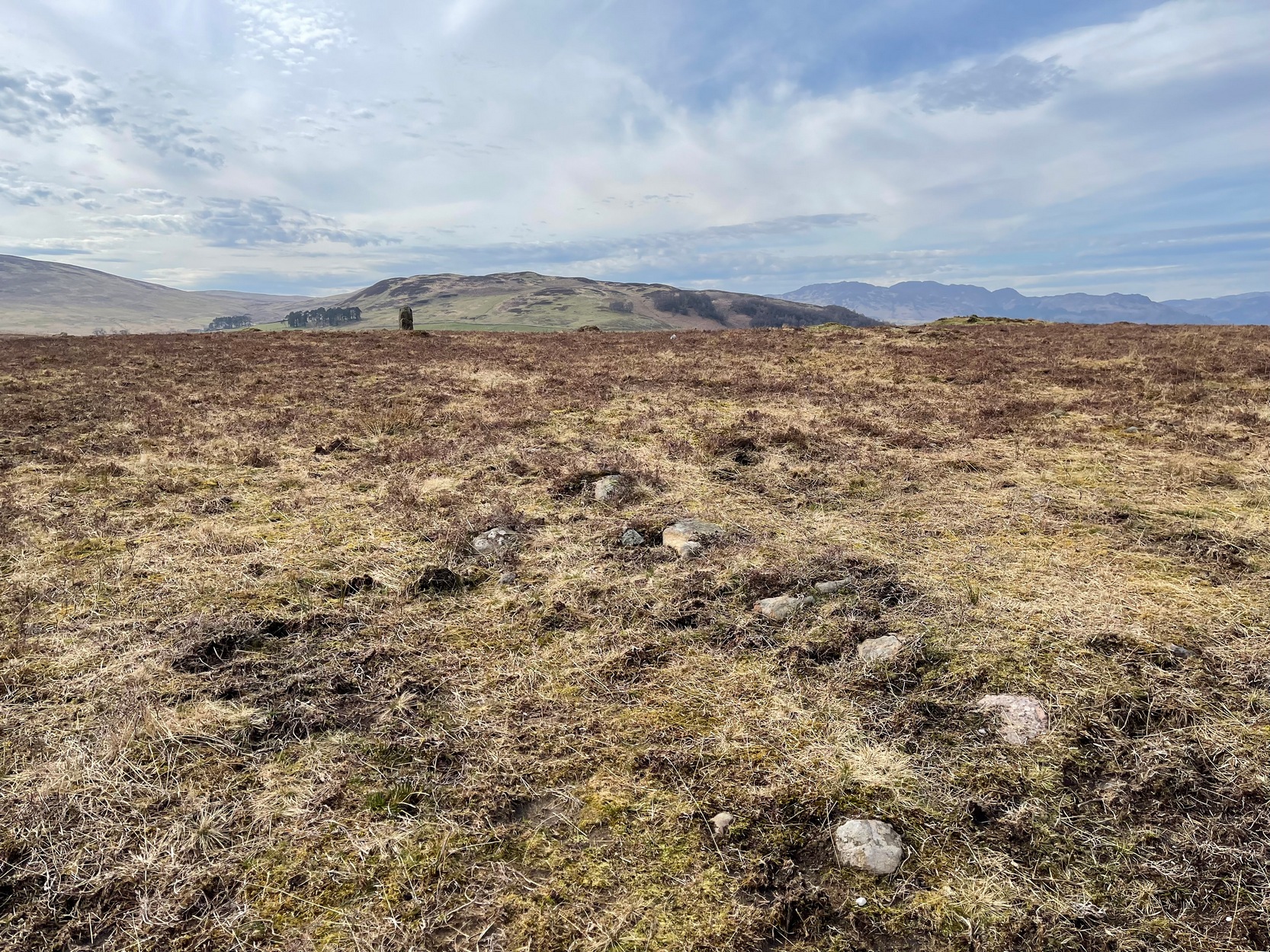
Not to be confused with the large cairn scatter on the grassy plain of Aodann Mhor a short distance north-west (whereon stands the magisterial Dunruchan A monolith), many of which which may be just field clearance cairns. This small group found a short distance east, south and west of Dunruchan stones ‘D’ and ‘E’ are more typical burial cairns. They each average between five and six yards across and none are more than three feet high. We first noticed them about ten years ago and on subsequent visits kept looking them over, but the deep heather ensured they were hard to see. But, after a recent heather-burning exercise on the moors, they are at thankfully visible—for a short time at least.
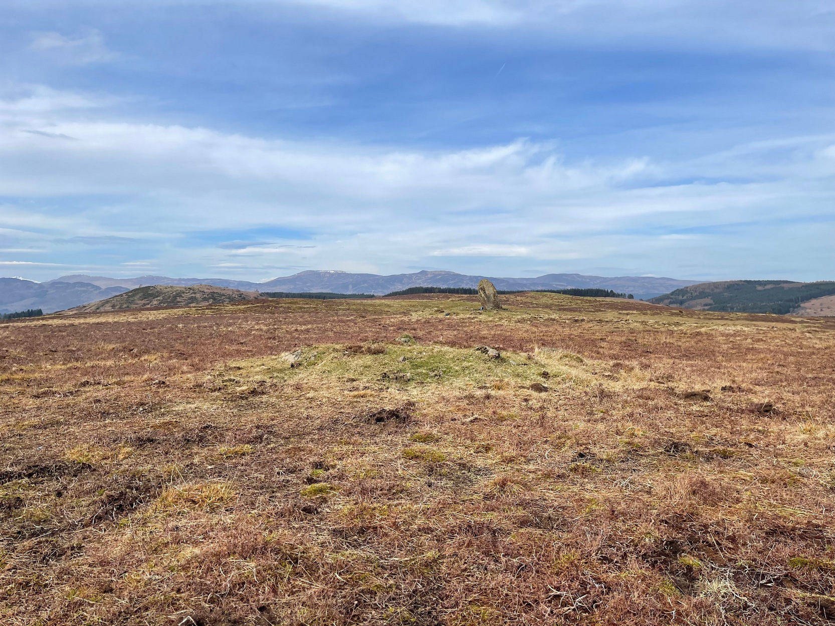
At the time of writing, probably the best one to see is found 40 yards south of Dunruchan D and 47 yards north-east of Dunruchan E and may have the astronomers amongst you running for the theodolites! It has that distinct look about it when you see it in context with the landscape and adjacent standing stones. The westernmost cairn that’s (presently) known here is 300 yards west of the Dunruchan E stone, just past the Dunruchan enclosure, at NN 7873 1676. It’s likely that there are other unrecorded prehistoric sites in this area.
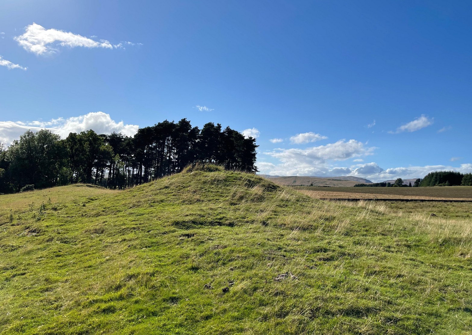
Amidst this section of the moors is a line of very low walling that runs a short distance east-to-west, towards the Dunruchan ‘E’ stone. A lot of old walling exists hereby, mainly visible in the fields to the east, but this particular line is much smaller and of a different age by the look of things, presumably older. It has the appearance of walling more usually associated with prehistoric hut circles, but in this case runs in a straight line towards the standing stone. Curious…
Folklore
The standing stones on this plain and the cairns here are said to be the graves of fallen Roman soldiers, slain by our tribal Scots two thousand years ago. In all honesty though, these are likely to be much older than any of those Roman savages.
© Paul Bennett, The Northern Antiquarian