Skip to content
  • megalithix@yandex.com

  • Home
    • Welcome
  • Antiquities
    • Barrows, Cairns, Tombs & Tumuli
    • Brochs
    • Bullauns
    • Crannogs
    • Crosses
    • Cup & Ring Stones
    • Cursus Monuments
    • Duns
    • Earthworks
    • Henges
    • Hillforts
    • Healing Wells
    • Holy & Sacred Wells
    • Hut Circles
    • Maypoles
    • Miscellaneous Remains
    • Pit Alignments
    • Prehistoric Tracks
    • Sacred Nature: Rocks, Lakes
    • Settlements & Enclosures
    • Souterrains
    • Standing Stones
    • Stone Circles
    • Timber Circles
    • Trees
  • Location
    • Scotland
      • Aberdeenshire
      • Angus
      • Argyll & Bute
        • Arran (Isle of)
        • Bute (isle of)
        • Coll (Isle of)
        • Colonsay (Isle of)
        • Gigha, Isle of
        • Iona (Isle of)
        • Islay (Isle of)
        • Jura (Isle of)
        • Lismore (Isle of)
        • Mull (Isle of)
        • Tiree, Isle of
      • Ayrshire
      • Banffshire
      • Berwickshire
      • Caithness
        • Stroma (Isle of),
      • Clackmannanshire
      • Dumbartonshire
      • Dumfriesshire
      • Fife
      • Hebrides, Inner
        • Iona (Isle of)
        • Mull (Isle of)
        • Skye, (Isle of)
      • Hebrides, Outer
        • Harris, Isle of
        • Lewis, Isle of
        • North Uist
        • St. Kilda
      • Inverness-shire
      • Kincardineshire
      • Kinross
      • Kirkcudbrightshire
      • Lanarkshire
      • Lothian, East
      • Lothian, West
      • Midlothian
      • Moray
      • Nairnshire
      • Orkney Isles
      • Peeblesshire
      • Perthshire
      • Renfrewshire
      • Ross & Cromarty
      • Roxburghshire
      • Selkirkshire
      • Shetland Isles
      • Stirlingshire
      • Sutherland
      • Wigtownshire
    • England (North)
      • Cheshire
      • Cleveland
      • Cumbria
      • Derbyshire
      • Durham
      • Isle of Man
      • Lancashire
      • Leicestershire
      • Lincolnshire
      • Northumbria
      • Nottinghamshire
      • Rutland
      • Shropshire
      • Staffordshire
      • Westmorland
      • Yorkshire, East
      • Yorkshire, North
      • Yorkshire, South
      • Yorkshire, West
    • Ireland
      • Antrim
      • Armagh
      • Carlow
      • Cavan
      • Claire
      • Cork
      • Derry (Londonderry)
      • Donegal
      • Down
      • Dublin
      • Fermanagh
      • Galway
      • Kerry
      • Kilkenny
      • Kildare
      • Laois (Queens)
      • Leitrim
      • Limerick
      • Longford
      • Louth
      • Mayo
      • Meath
      • Meath
      • Monaghan
      • Offaly (Kings)
      • Roscommon
      • Sligo
      • Tipperary
      • Tyrone
      • Waterford
      • Westmeath
      • Wexford
      • Wicklow
    • Wales
      • Anglesey
      • Breconshire (Brecknockshire)
      • Caernarvonshire
      • Cardiganshire
      • Carmarthenshire
      • Denbighshire
      • Flintshire
      • Glamorganshire
      • Merionethshire
      • Monmouthshire
      • Montgomeryshire
      • Pembrokeshire
      • Radnorshire
    • England (south)
      • Bedfordshire
      • Berkshire
      • Buckinghamshire
      • Cambridgeshire
      • Cornwall
        • Scilly Isles
          • St. Martin’s
          • St. Marys
          • Samson (Isle of)
      • Devon
      • Dorset
      • Essex
      • Gloucestershire
      • Hampshire
      • Herefordshire
      • Hertfordshire
      • Huntingdonshire
      • Kent
      • Middlesex
      • Norfolk
      • Northamptonshire
      • Oxfordshire
      • Somerset
      • Suffolk
      • Surrey
      • Sussex
      • Warwickshire
      • Wiltshire
      • Worcestershire
  • Map of Sites
  • Publications
  • Notes & Queries
    • Adding a Site
    • Cartwright Hall Archaeology Group Bulletin
    • Donate to TNA
    • How to Find Lost Sites
    • Links

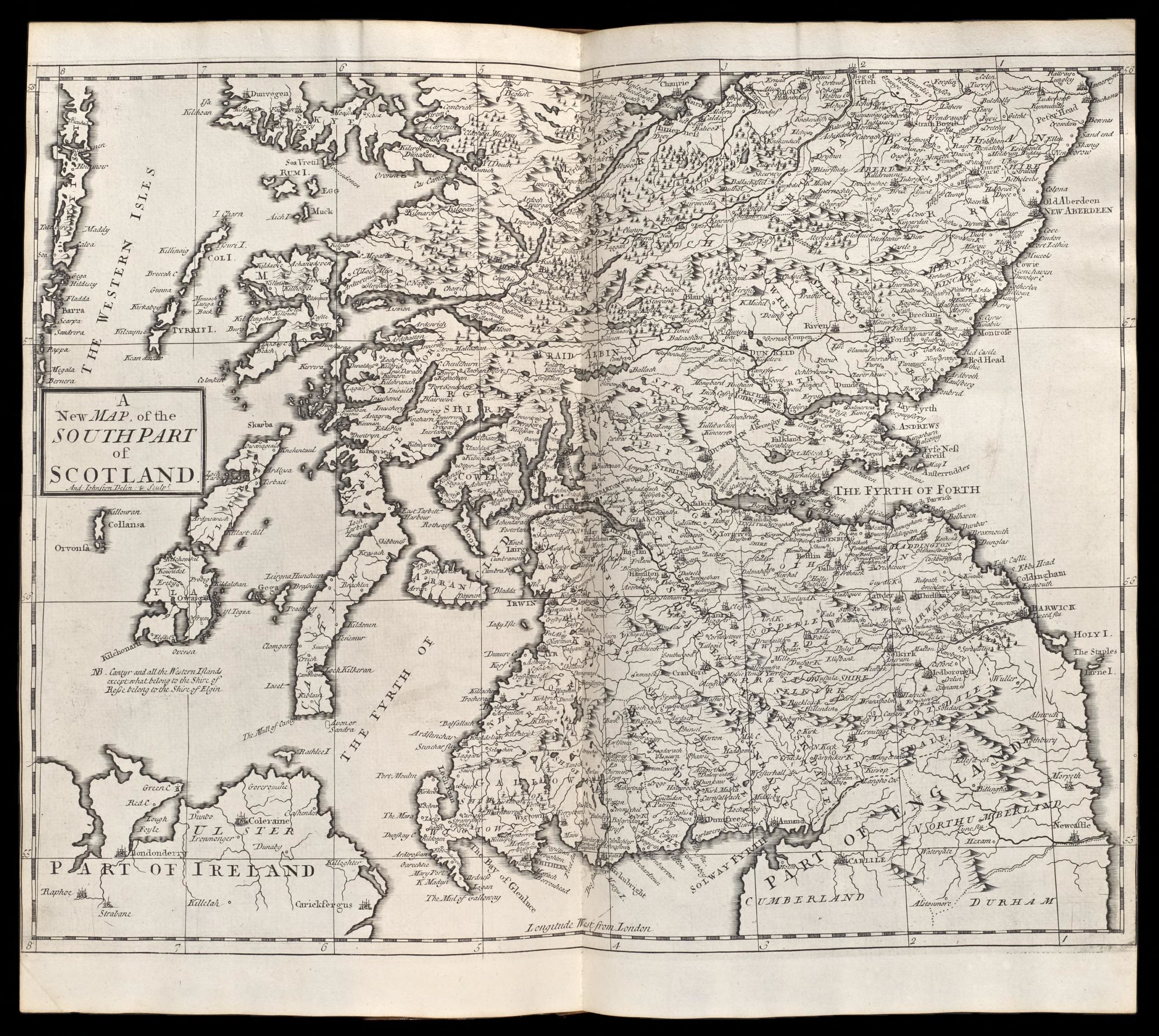
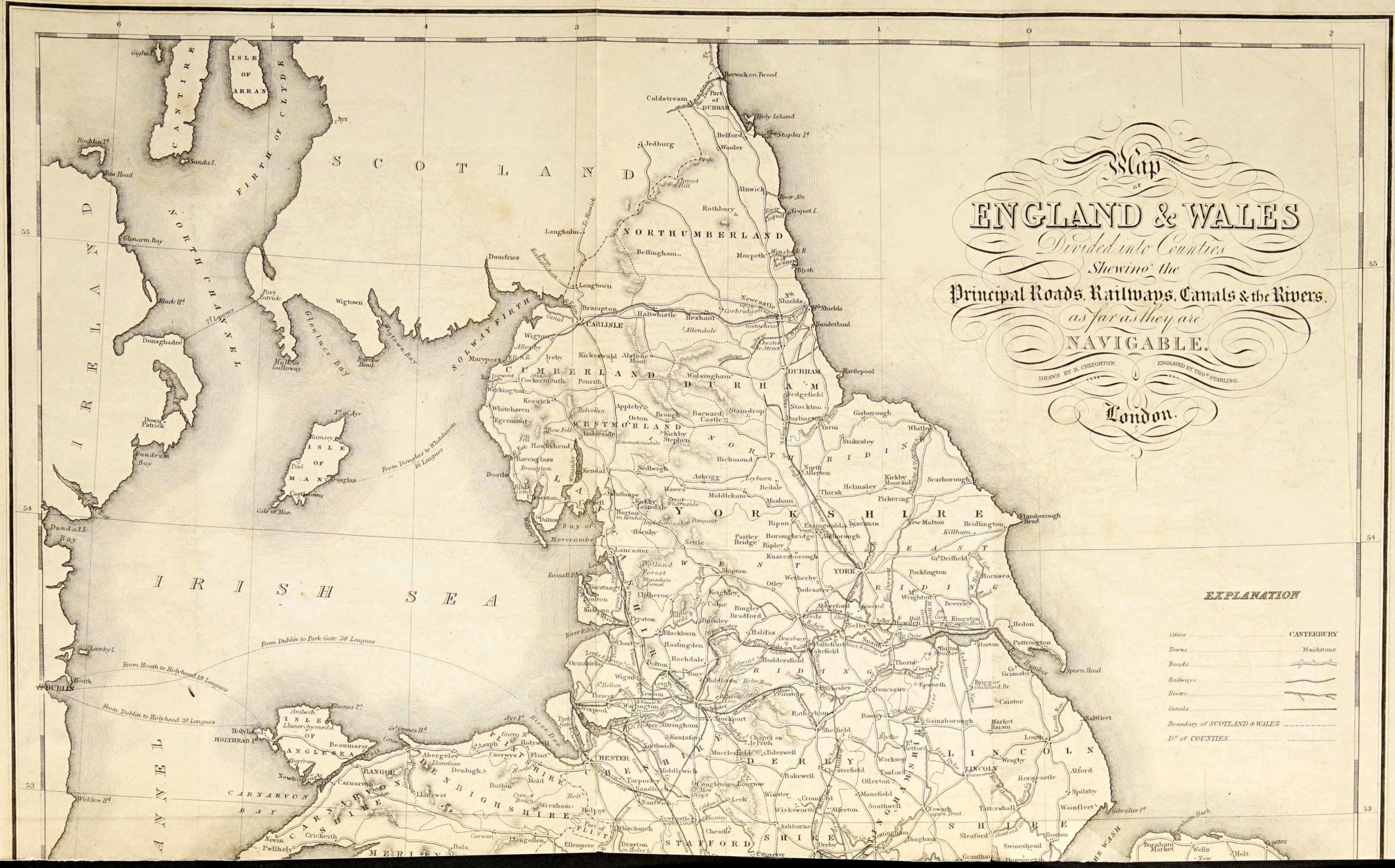
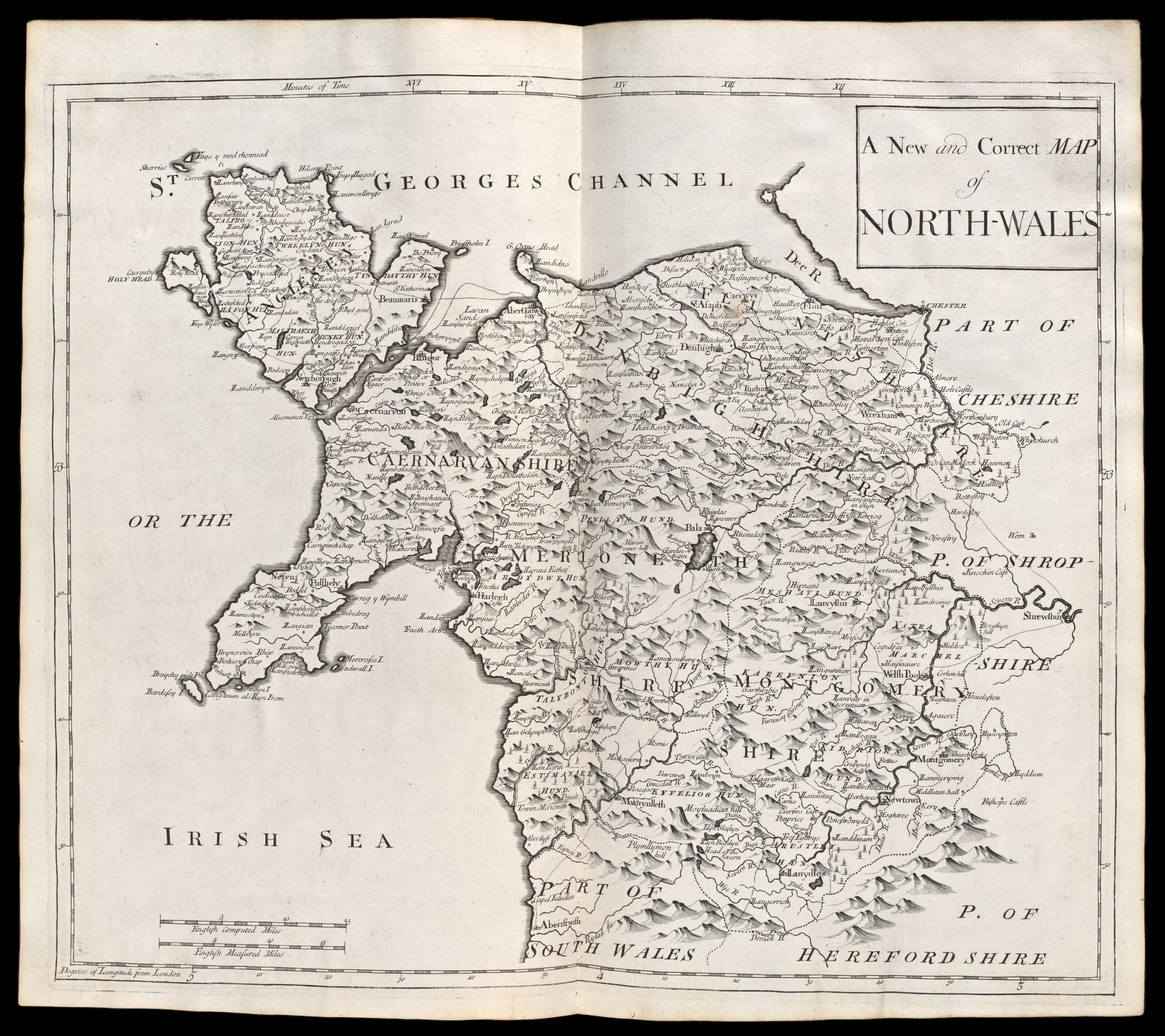
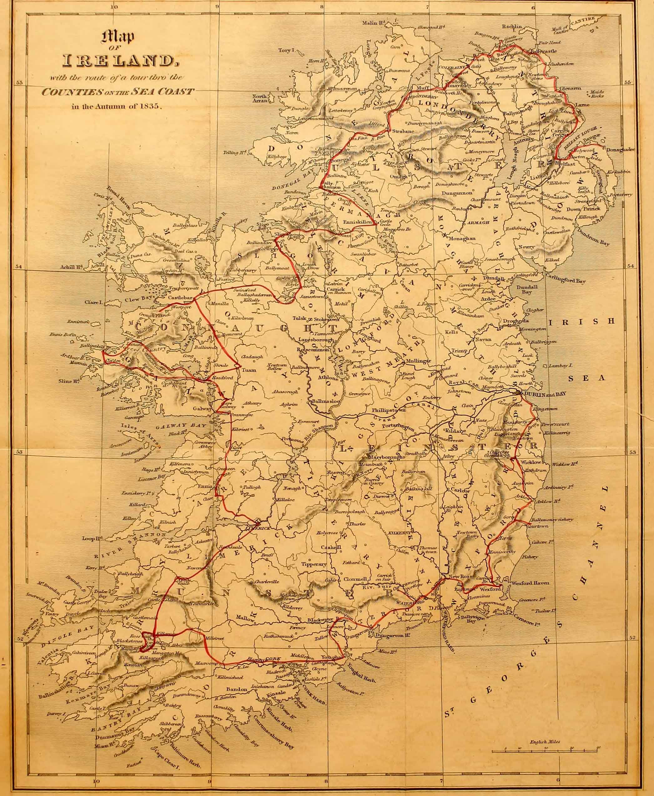
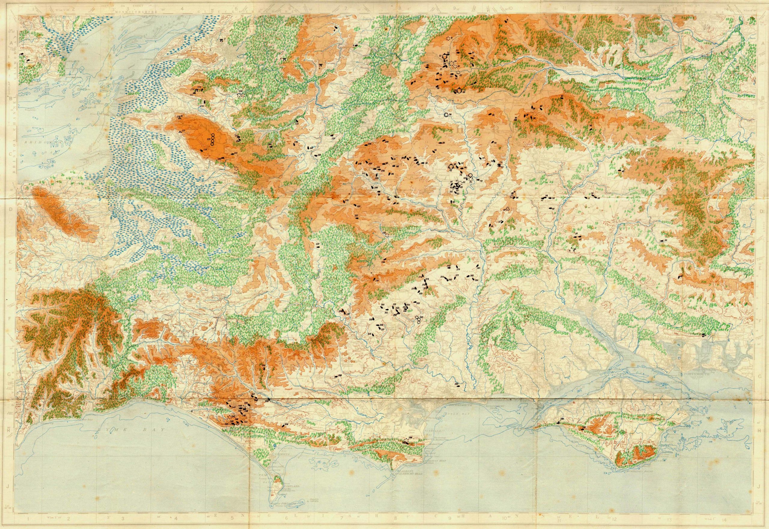
Location

Scotland

Map of Scotland by William Camden, 1722

England (North)

Map of Northern England in 1842

Wales

Map of Wales by William Camden, 1722

Ireland

John Barrow’s map of Ireland in 1836

England (south)

Neolithic Sites of Wessex, 1932

Latest Posts

  • Stone of Stars, Rivock, Silsden, West Yorkshire

    26/02/2023
    Cup-and-Ring Stone:  OS Grid Reference – SE 07507 44564 Also Known as: Carving no.26 (Hedges) Carving no.65 (Boughey & Vickerman) Getting Here The best/easiest way to approach this and the Rivock carvings as a whole …More »
  • Raven Stones (562), Thruscross, North Yorkshire

    21/02/2023
    Cup-Marked Stone: OS Grid Reference – SE 1194 5810 Getting Here Take the A59 road from Harrogate and Skipton and at the very top of the moors keep your eyes peeled for the small Kex …More »
  • Balnadrum, Moulin, Pitlochry, Perthshire

    21/02/2023
    Souterrain (lost):  OS Grid Reference – NN 9447 5890 Archaeology & History In Hugh Mitchell’s (1923) survey of prehistoric sites in the Pitlochry district, this long lost souterrain was thankfully captured by his pen.  Two years later …More »
  • Cnoc Dubh, Moulin, Pitlochry, Perthshire

    17/02/2023
    Stone Circle (destroyed):  OS Grid Reference – NN 9424 5871 Archaeology & History Missing from the primary surveys of Burl (2000) and Barnatt (1989), a mention of this long lost site was made by local …More »
Copyright © 2023 . All rights reserved.
Education Hub Pro by WEN Themes