Cairnfield: OS Grid Reference – SE 1777 5099
Getting Here
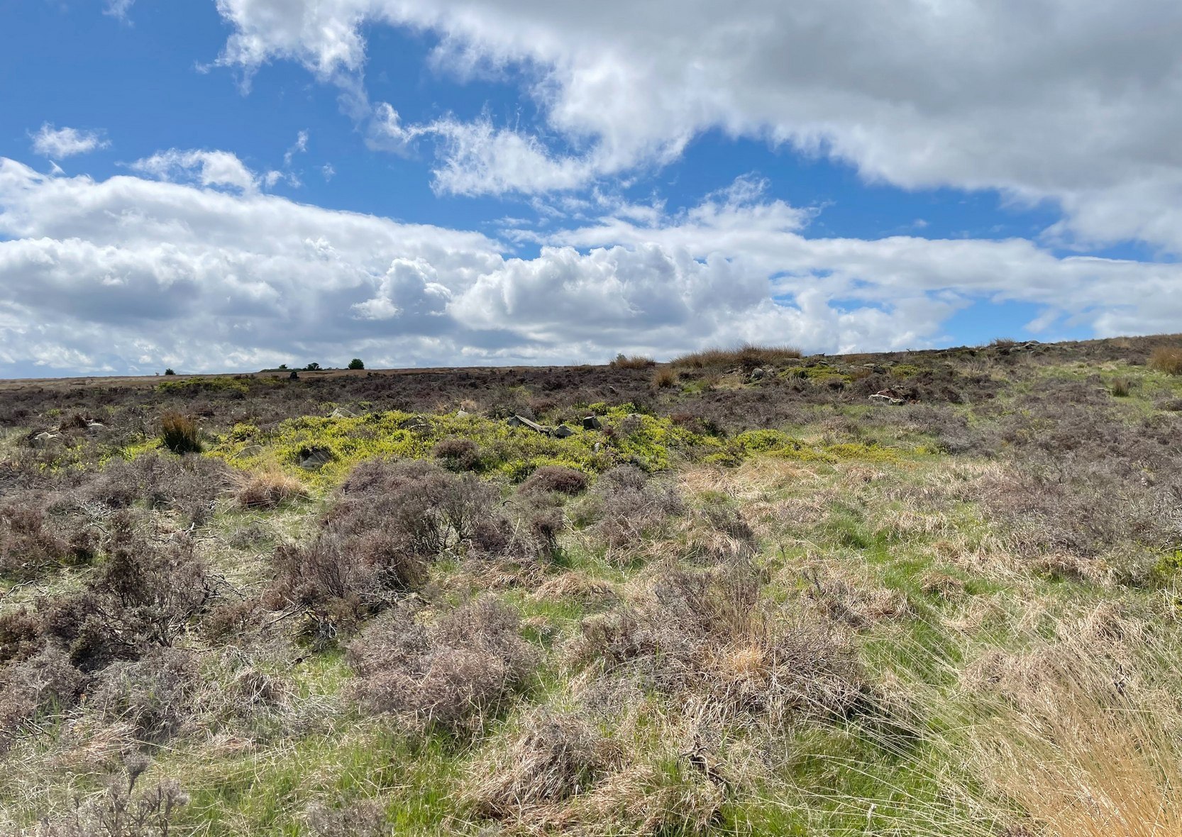
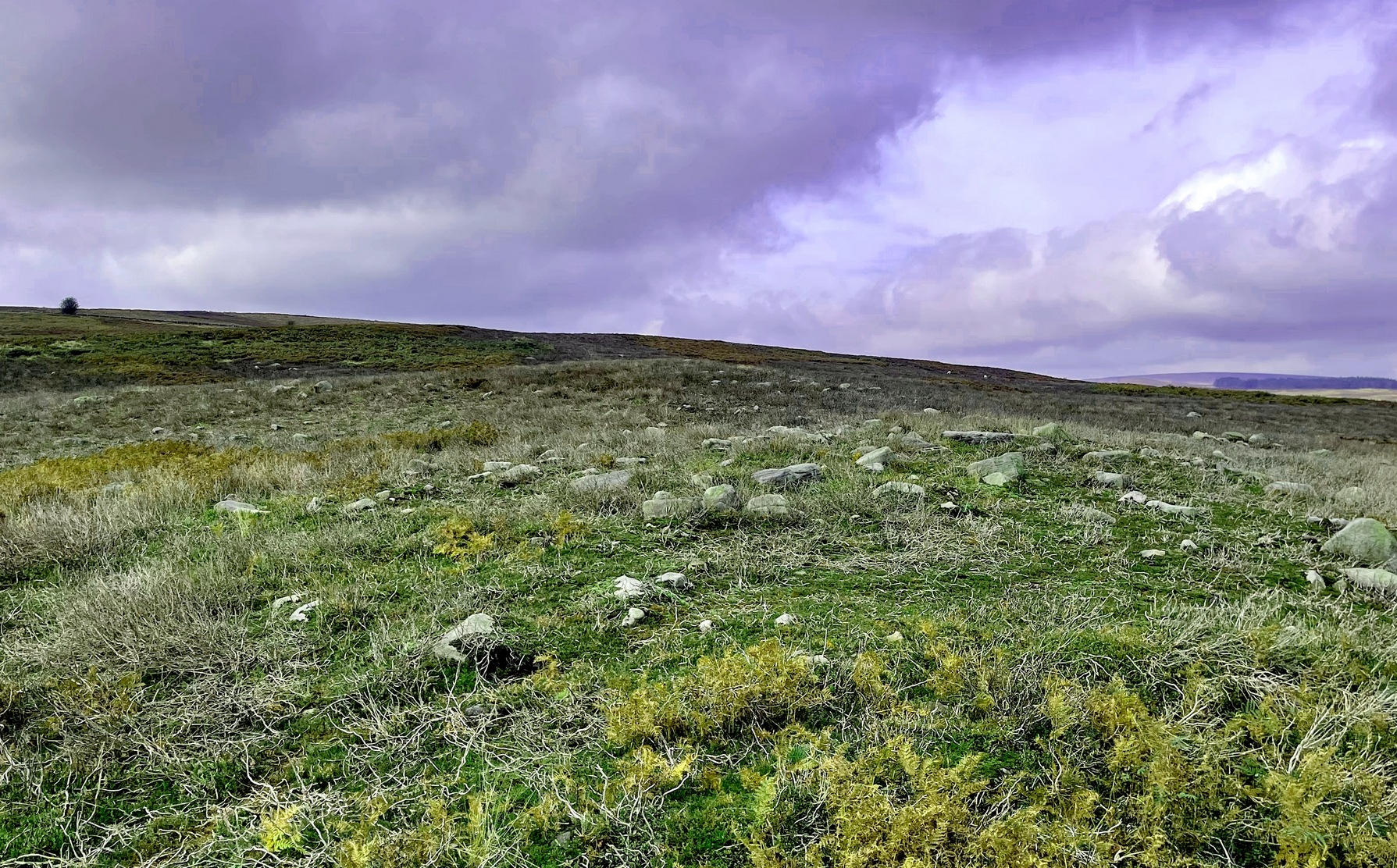
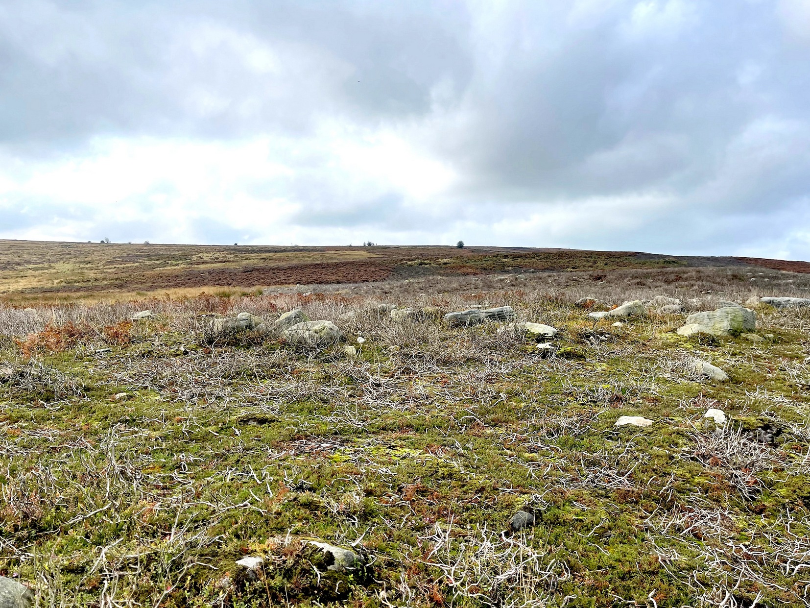
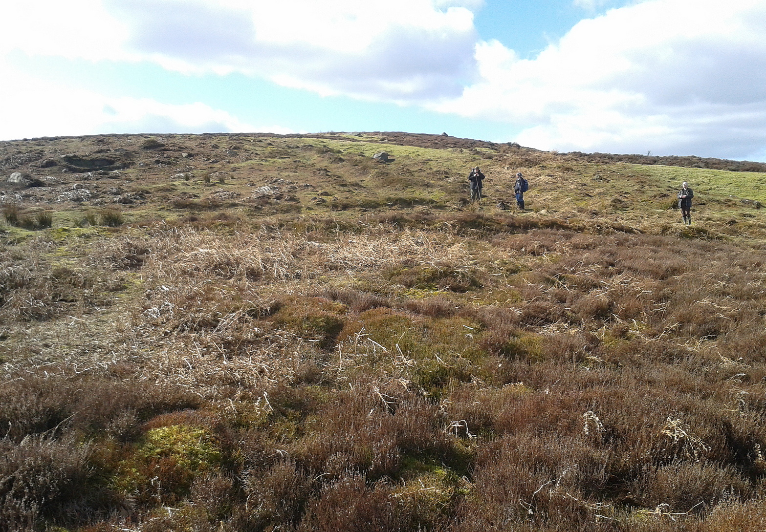
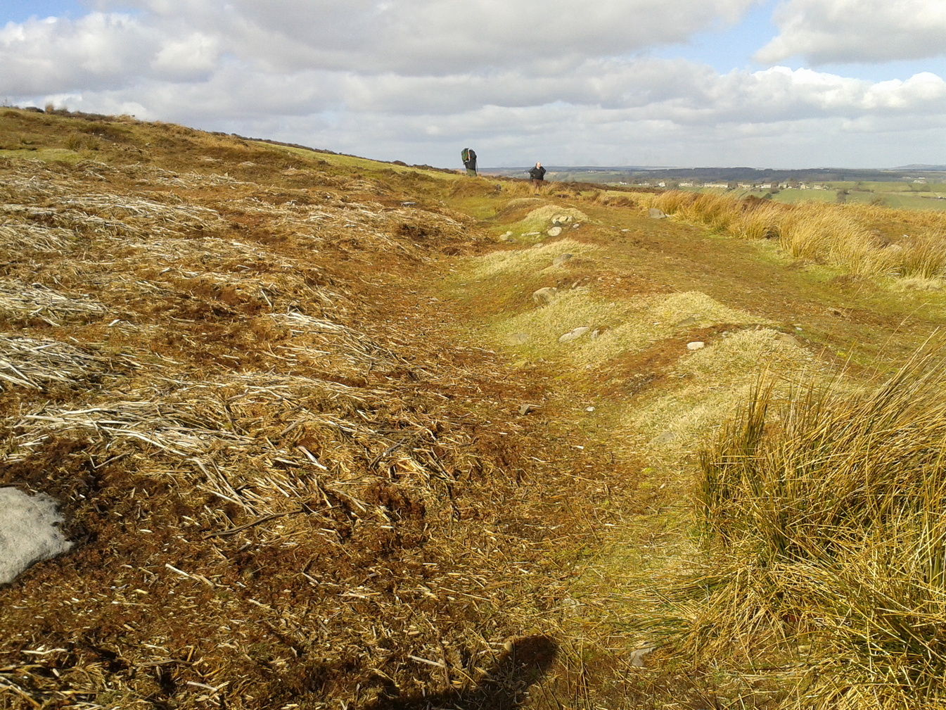
Park up at the singular dusty car-park on the east-side of Askwith Moor Road. If you walk to the sloping eastern edge of the car-park and then go down and over the collapsed fence onto the moorland immediately east, walk in the direction of the Tree of Life Stone to the north-east (be aware that there’s no footpath here and it’s boggy as fuck in places) . Just over halfway towards the carving, nearly 400 yards from where you’ve parked, you’ll begin to see various ruinous piles and scatters of stone. You can’t really miss them!
Archaeology & History
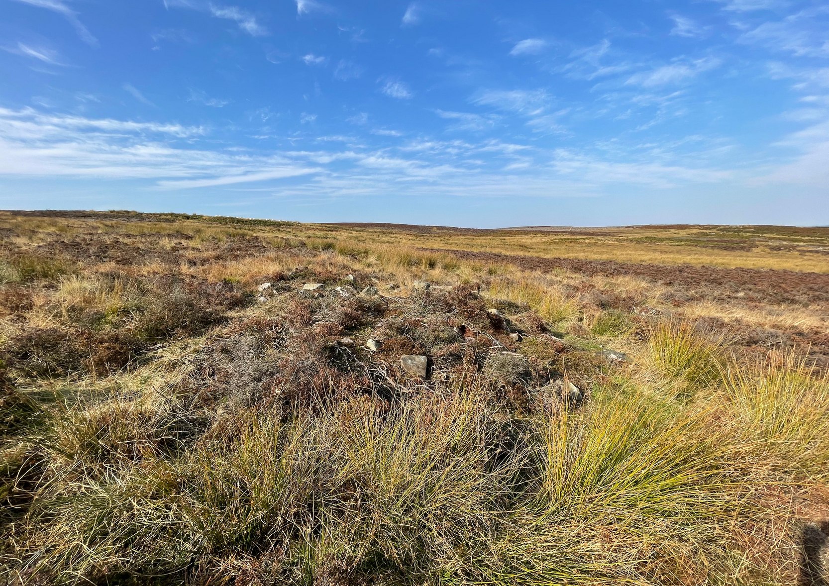
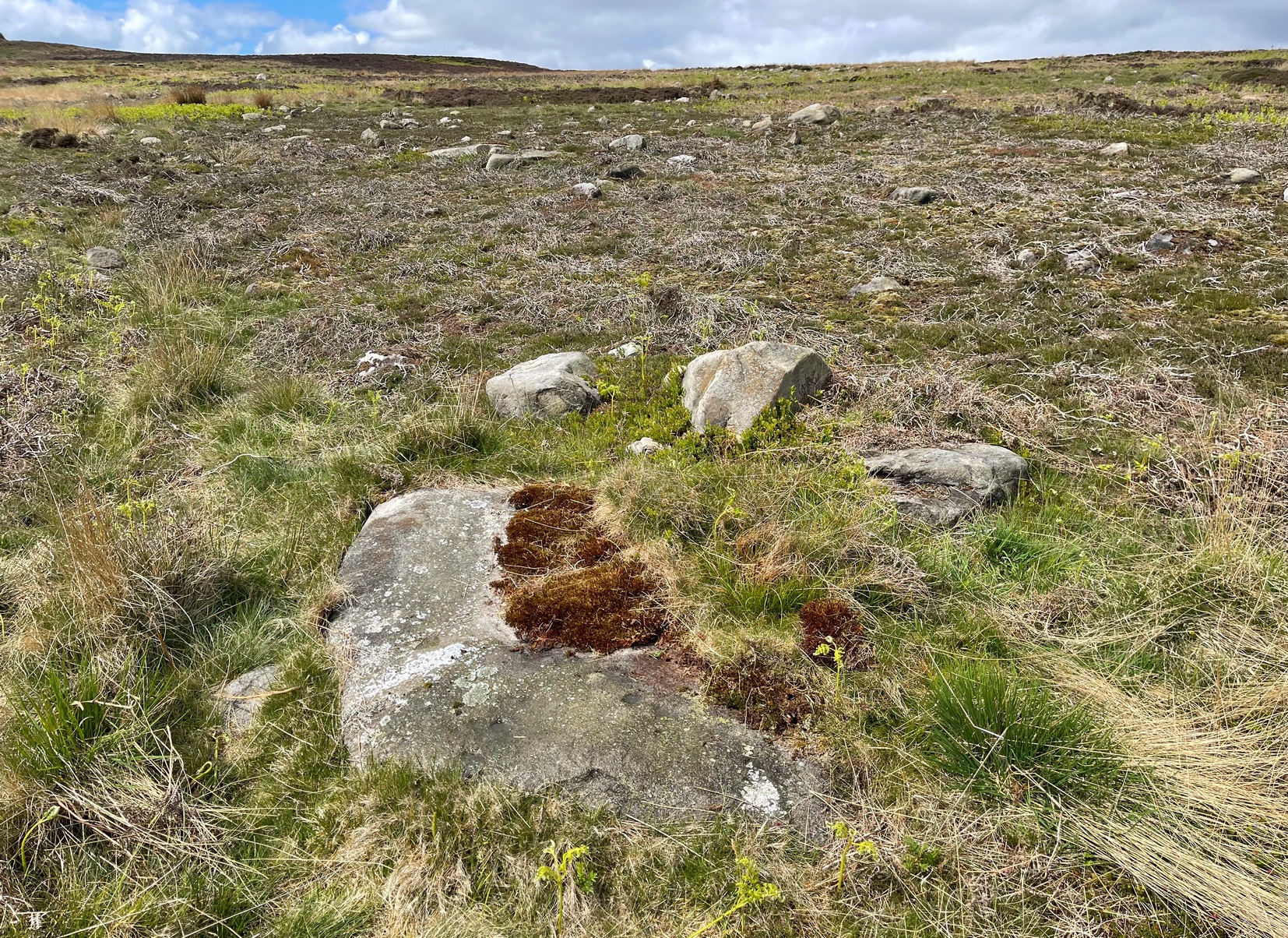
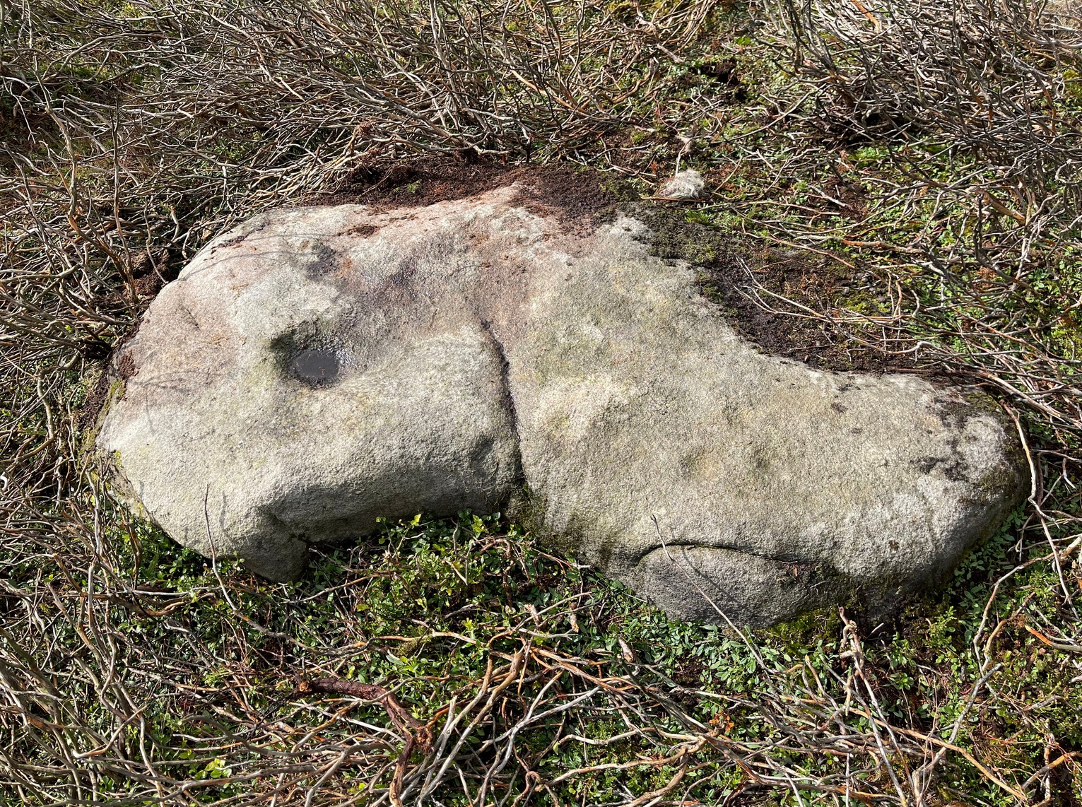
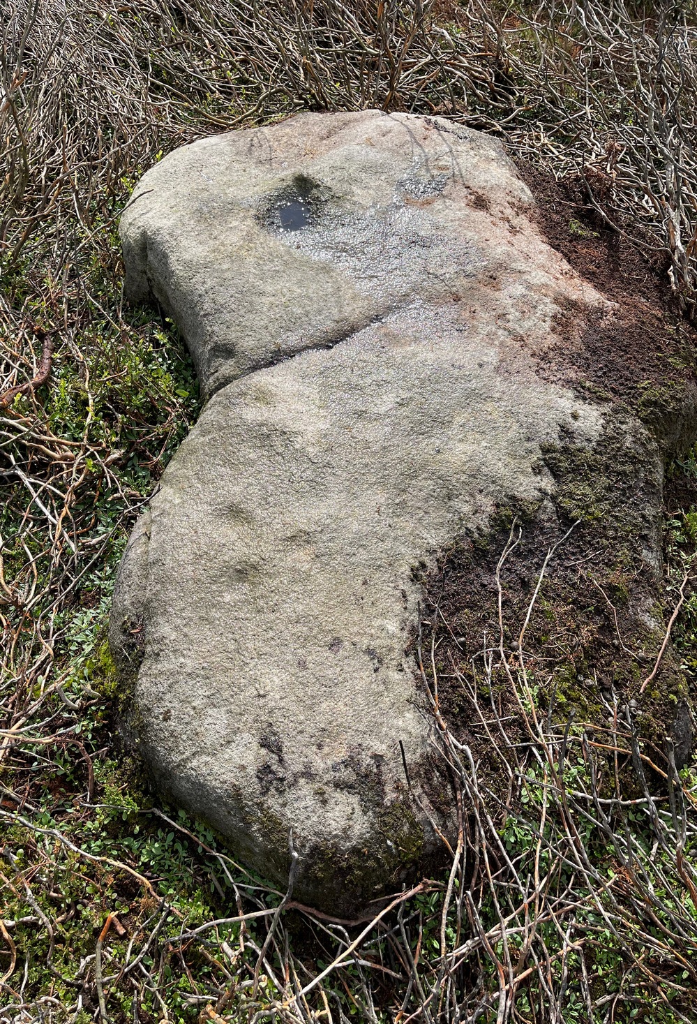
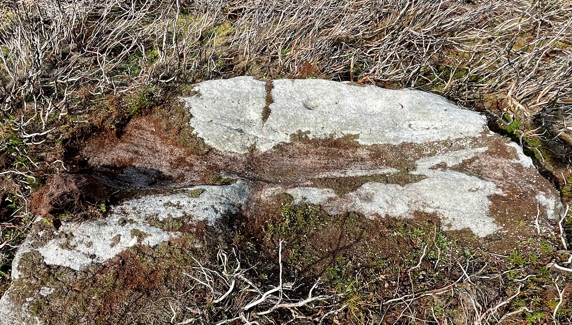
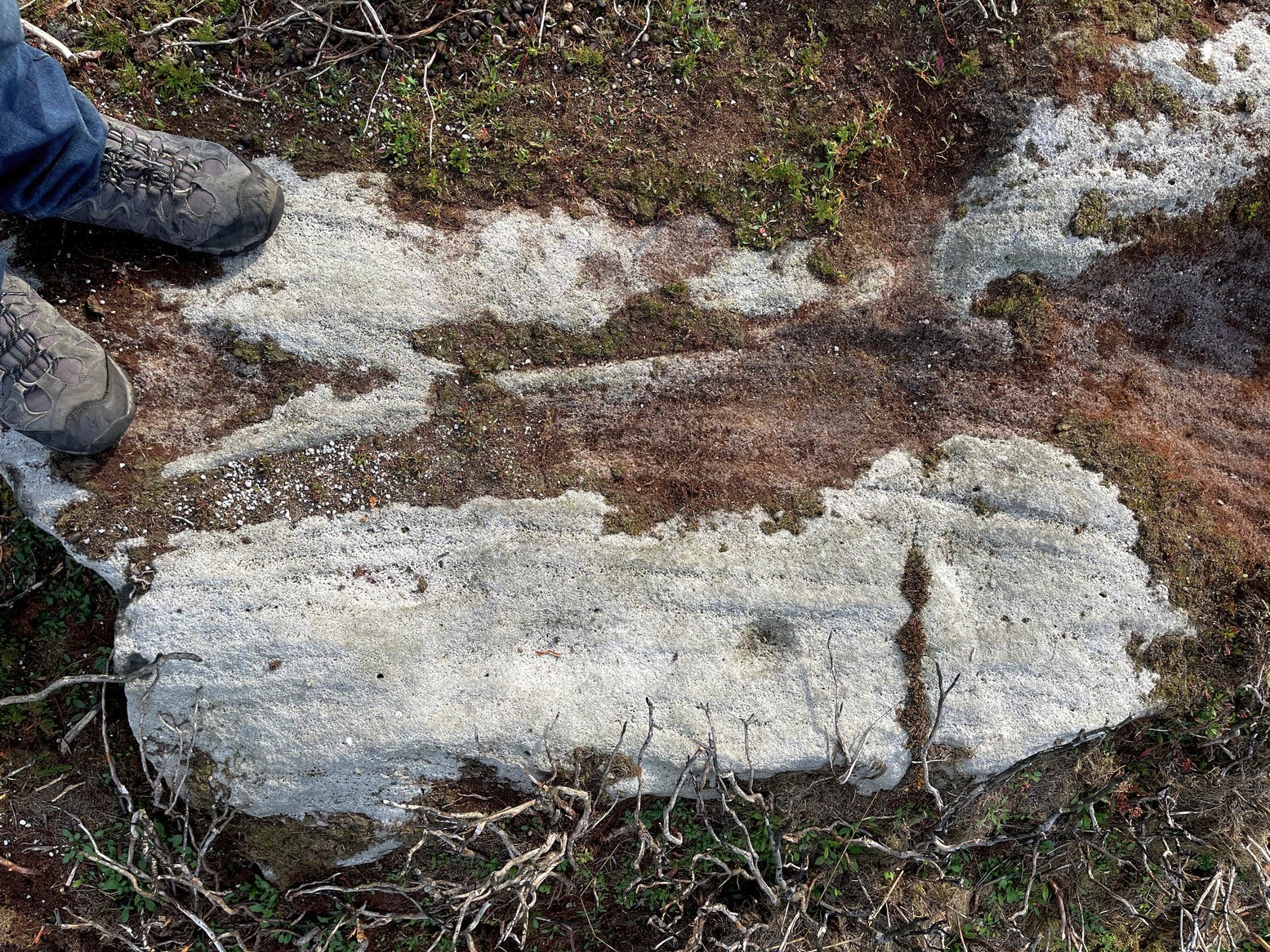
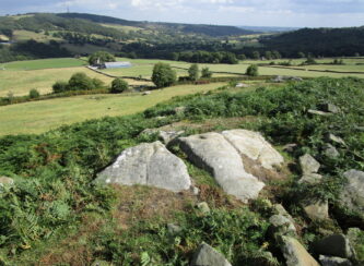
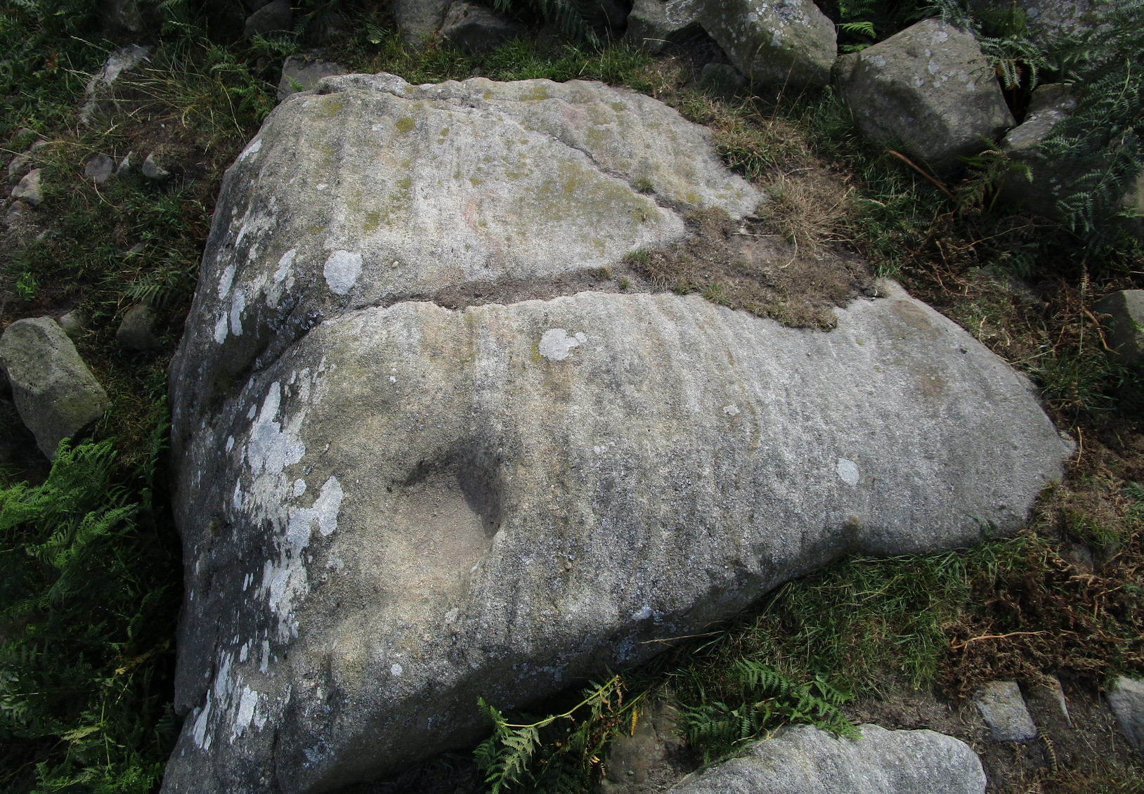
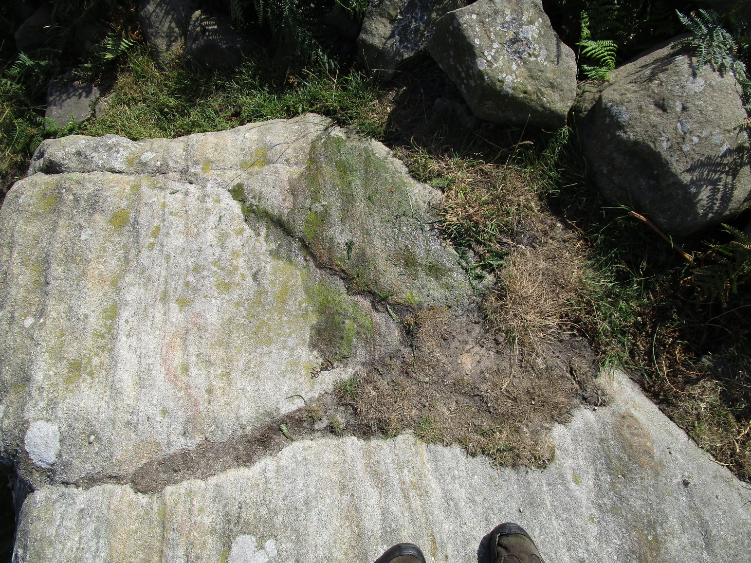
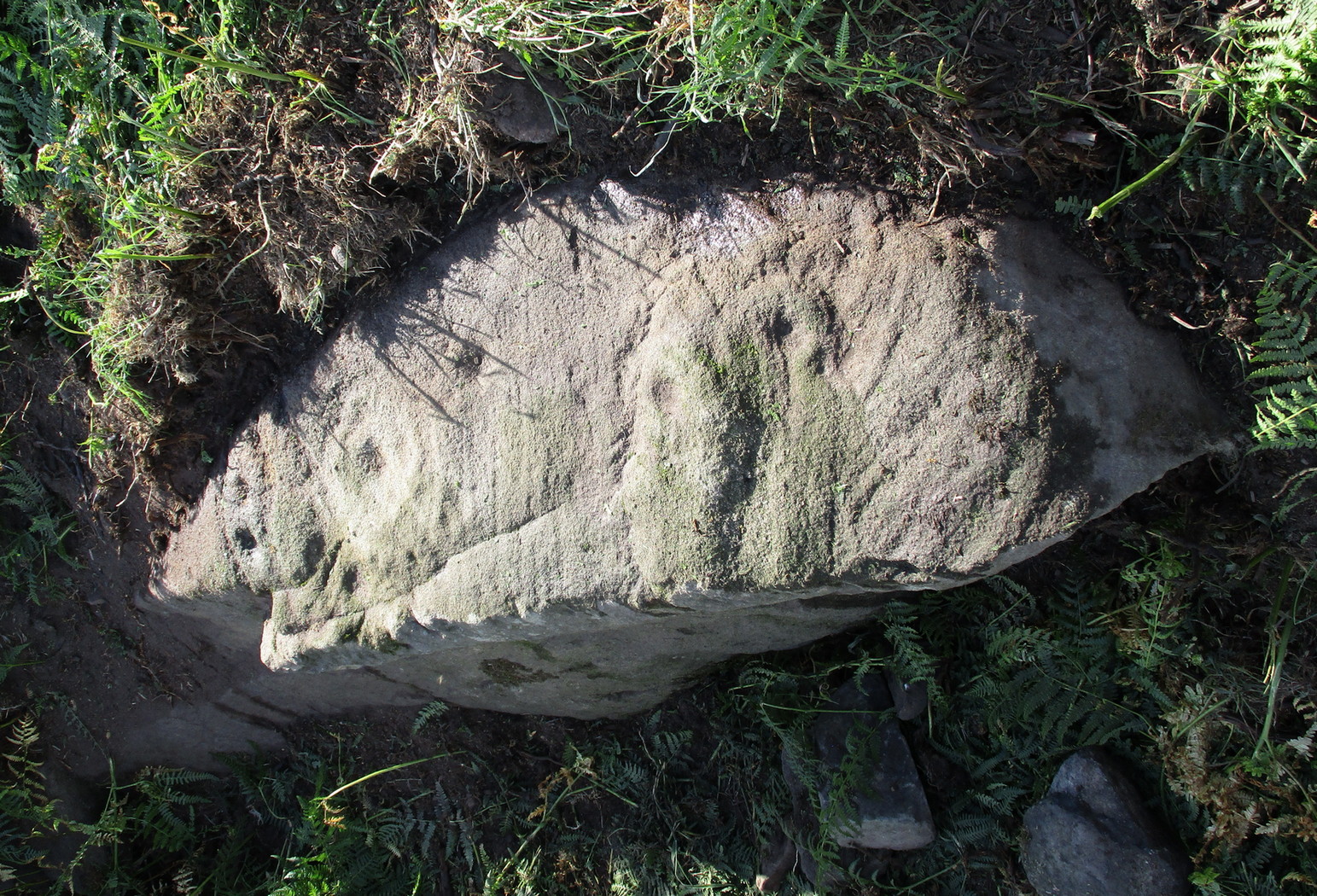
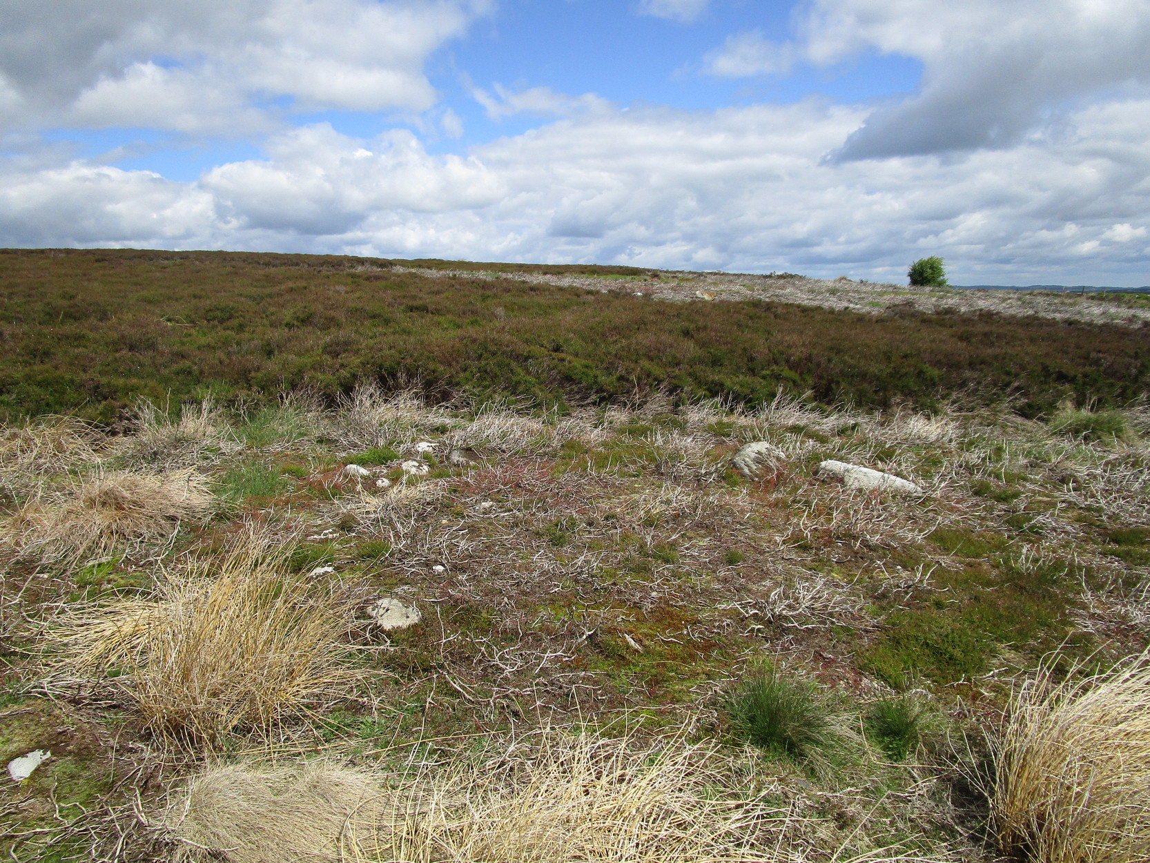
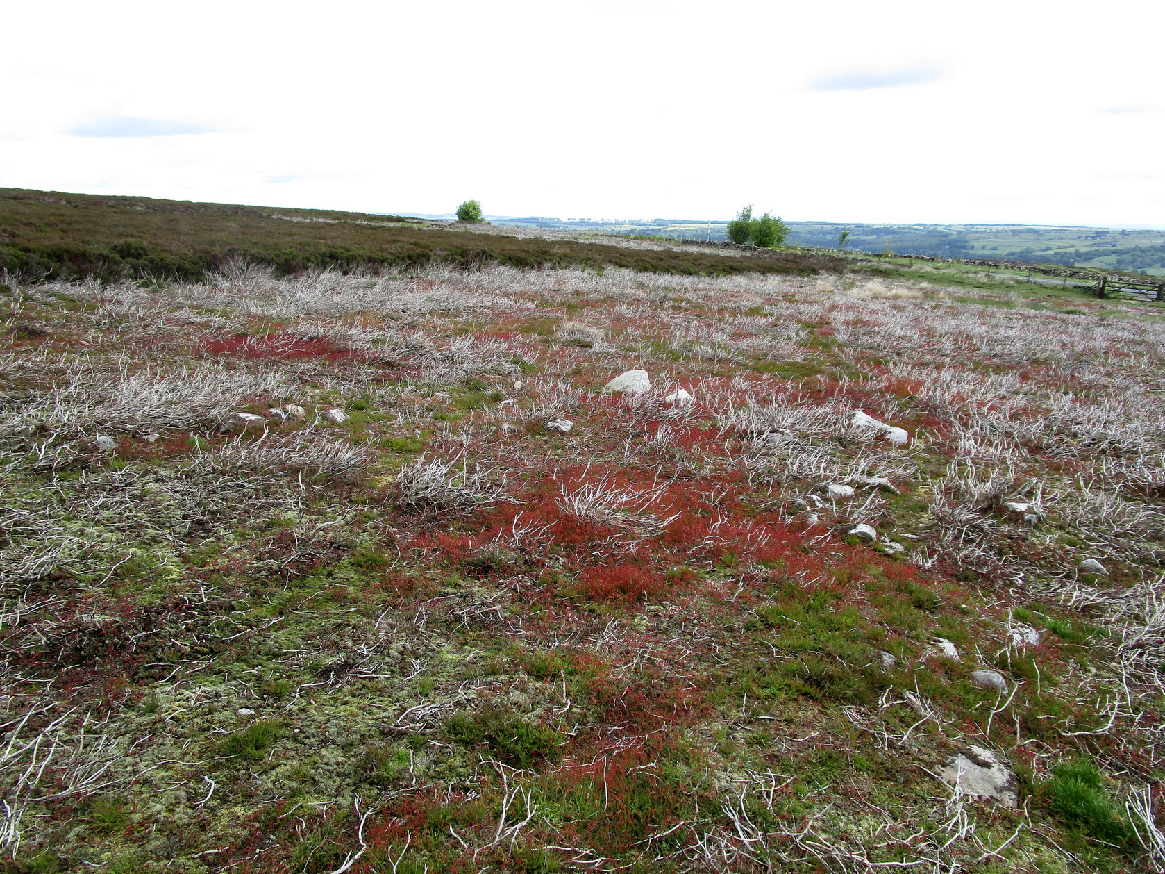
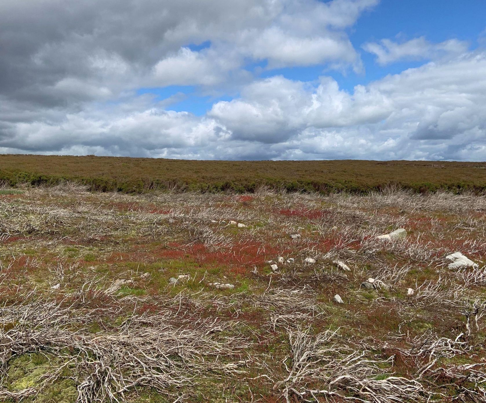
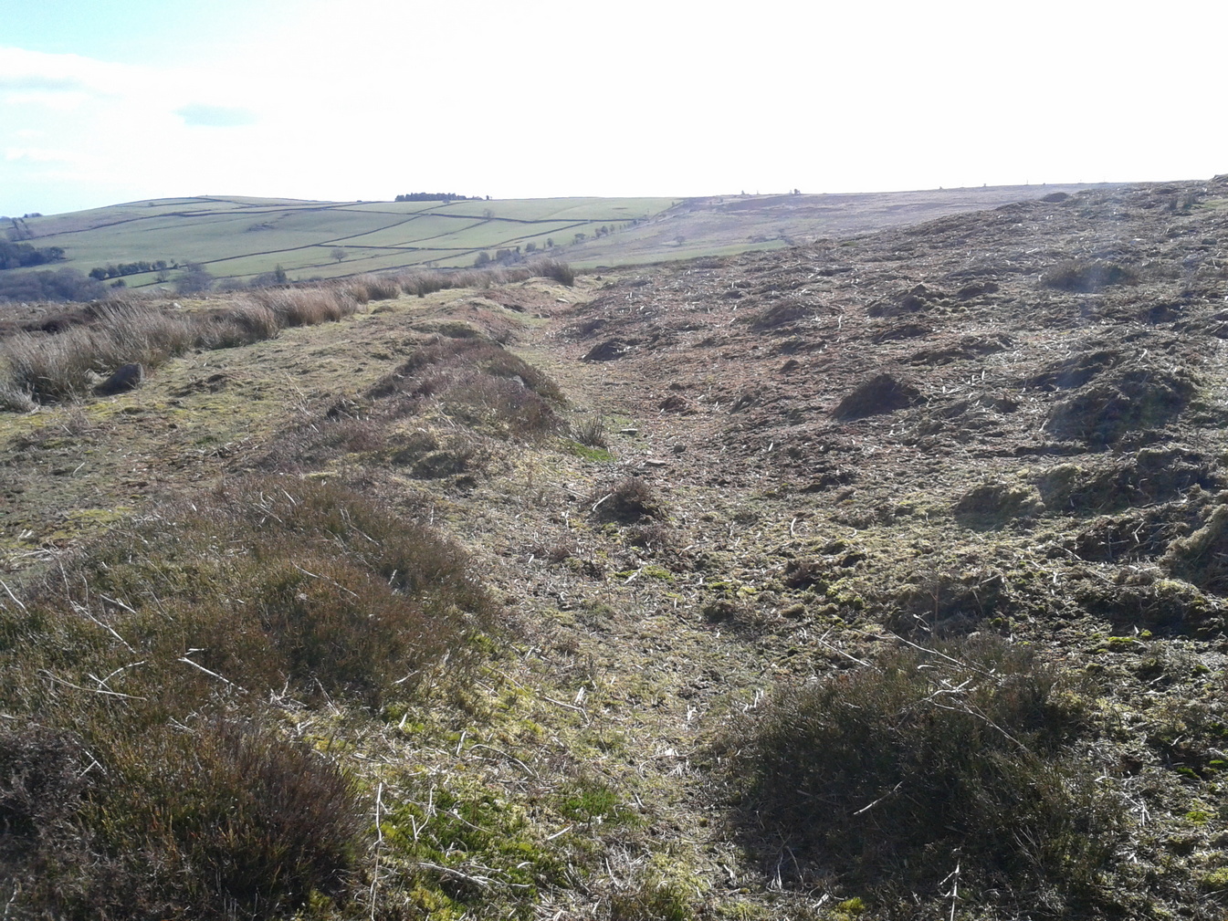
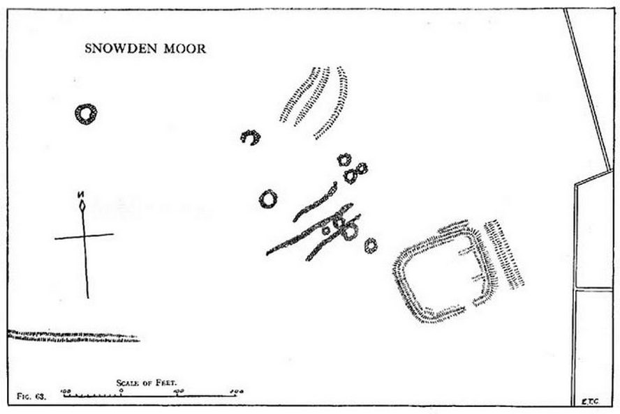
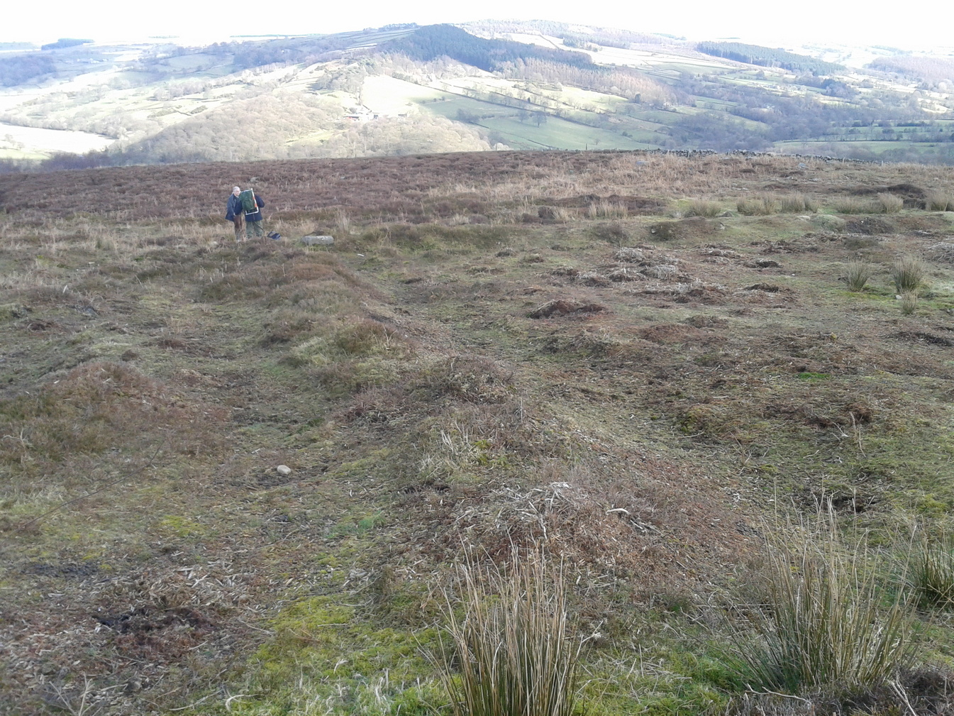
In a region teeming with prehistoric sites, the great Eric Cowling (1937) seems to have been the person who stumbled across this “barrow group”, as he called it, during one of his rock art forays in this neck o’ the woods. Little has been written of them since. Not to be confused with the Snowden Moor cairnfield more than 350 yards to the north, at this place we find at least a dozen quite distinct cairns scattered around the grid-reference cited, most of them much larger in size than the cairns to the north, ranging between five to twelve yards across and up to three feet high. They have all been opened and robbed, with considerable disturbance on the largest of the ‘barrows’. We know not who may have done this, but there’s been a history of quarrying close by and it may have been some of the workmen who did the damage, knowingly or otherwise.
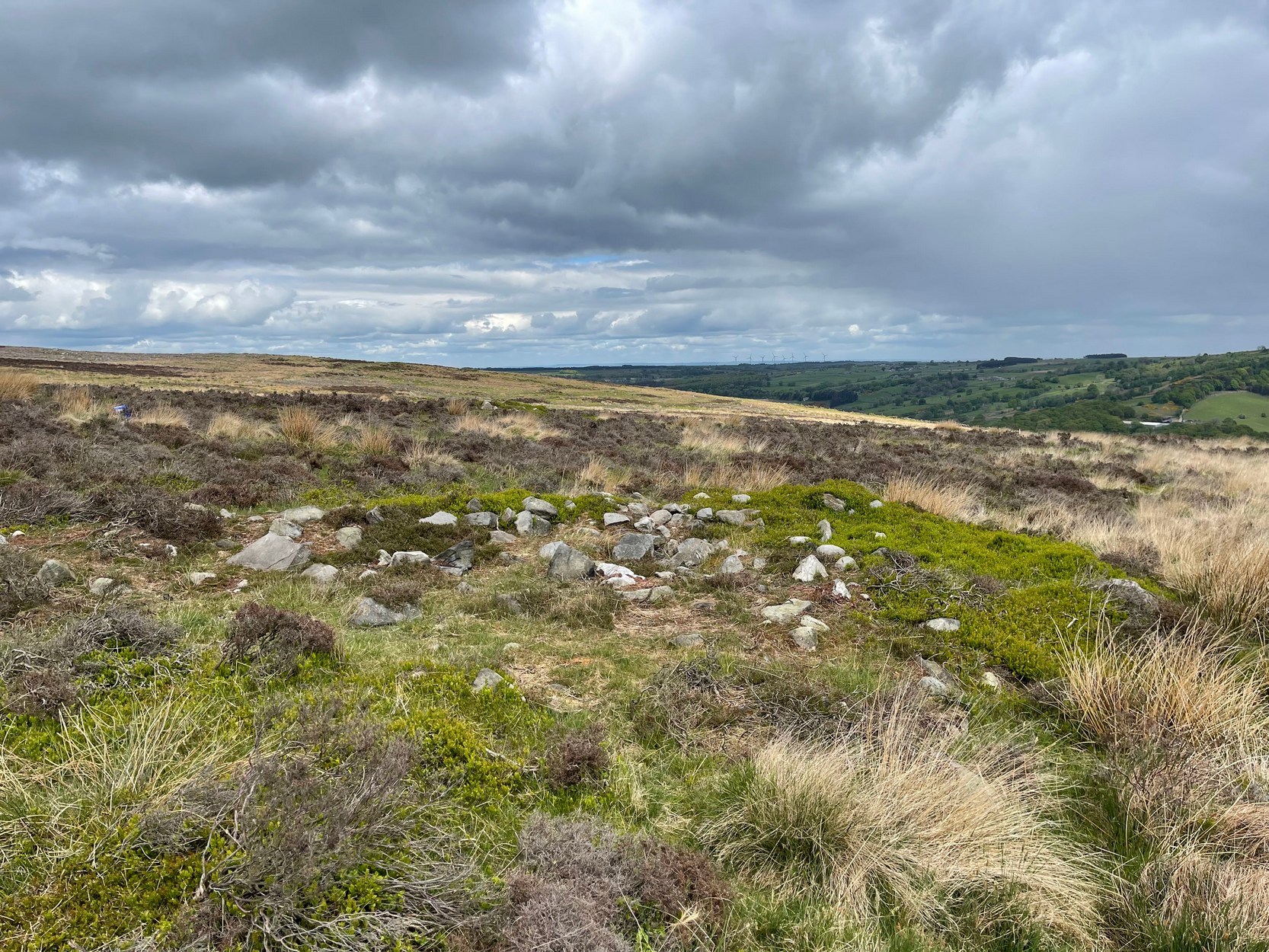
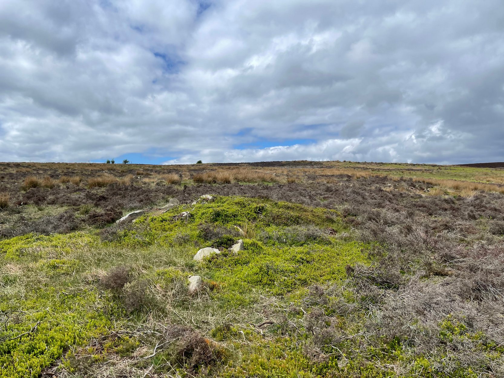
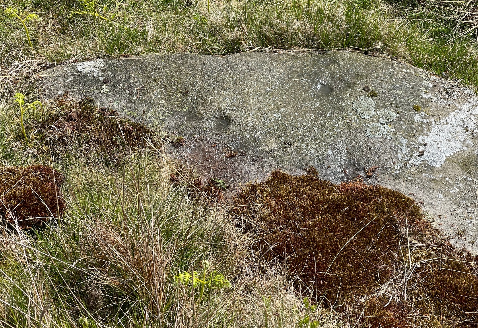
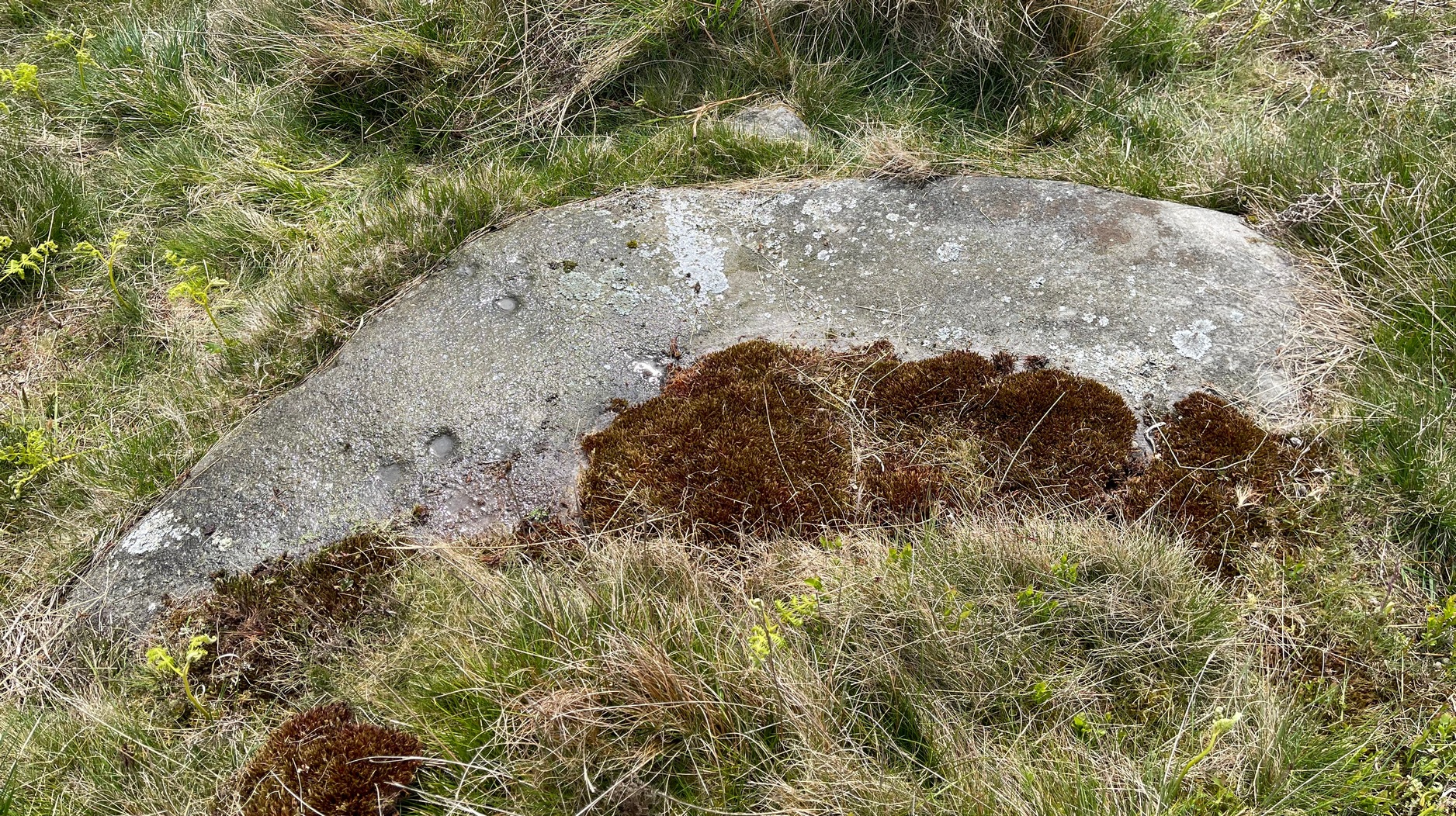
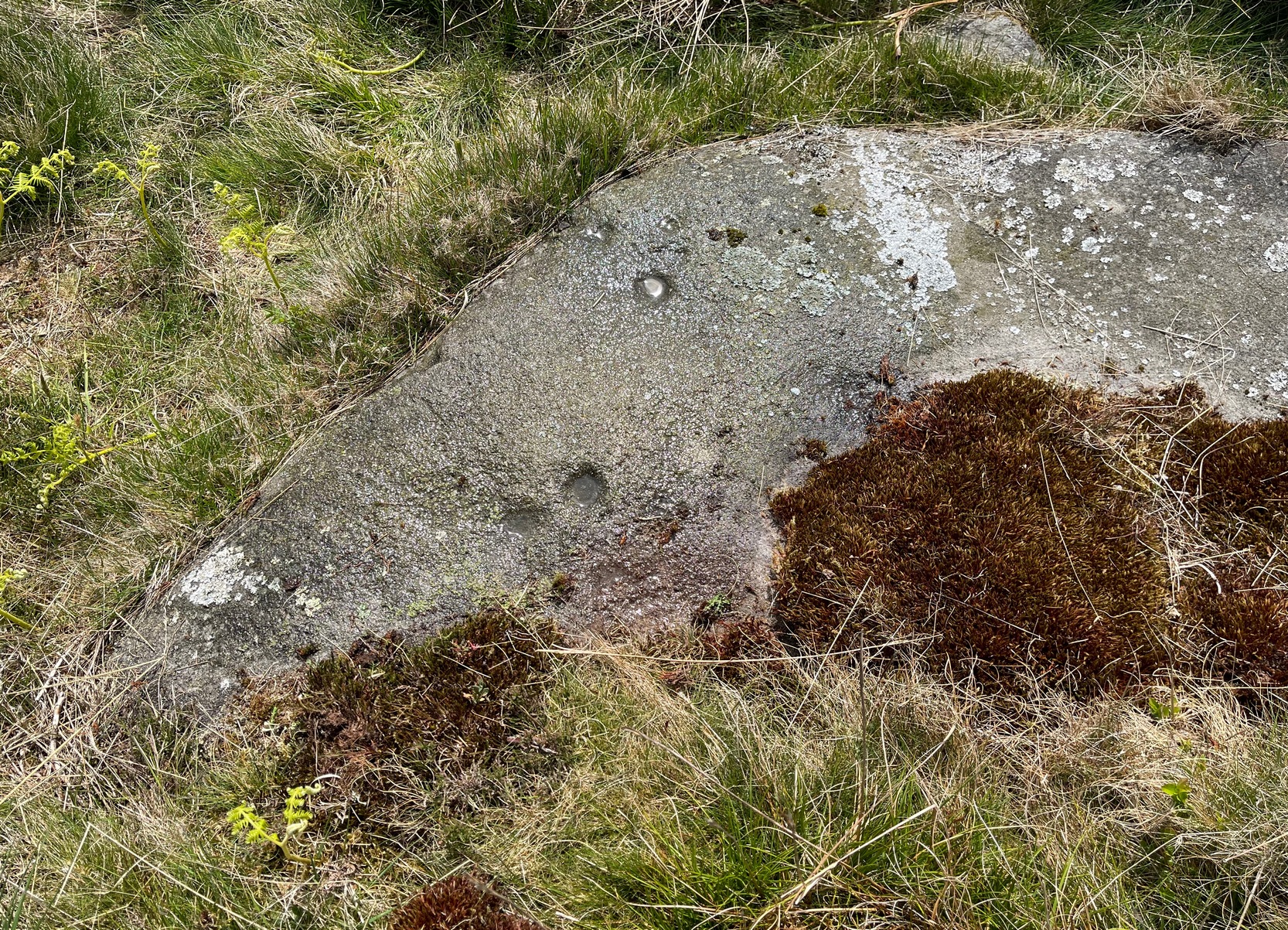
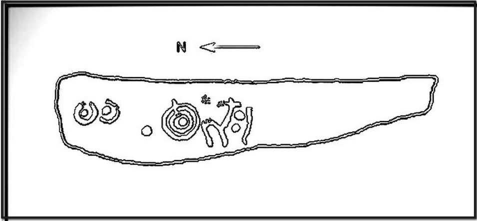
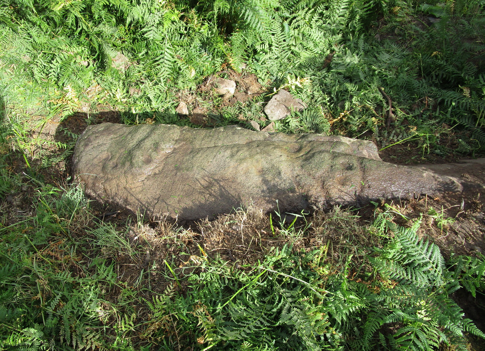
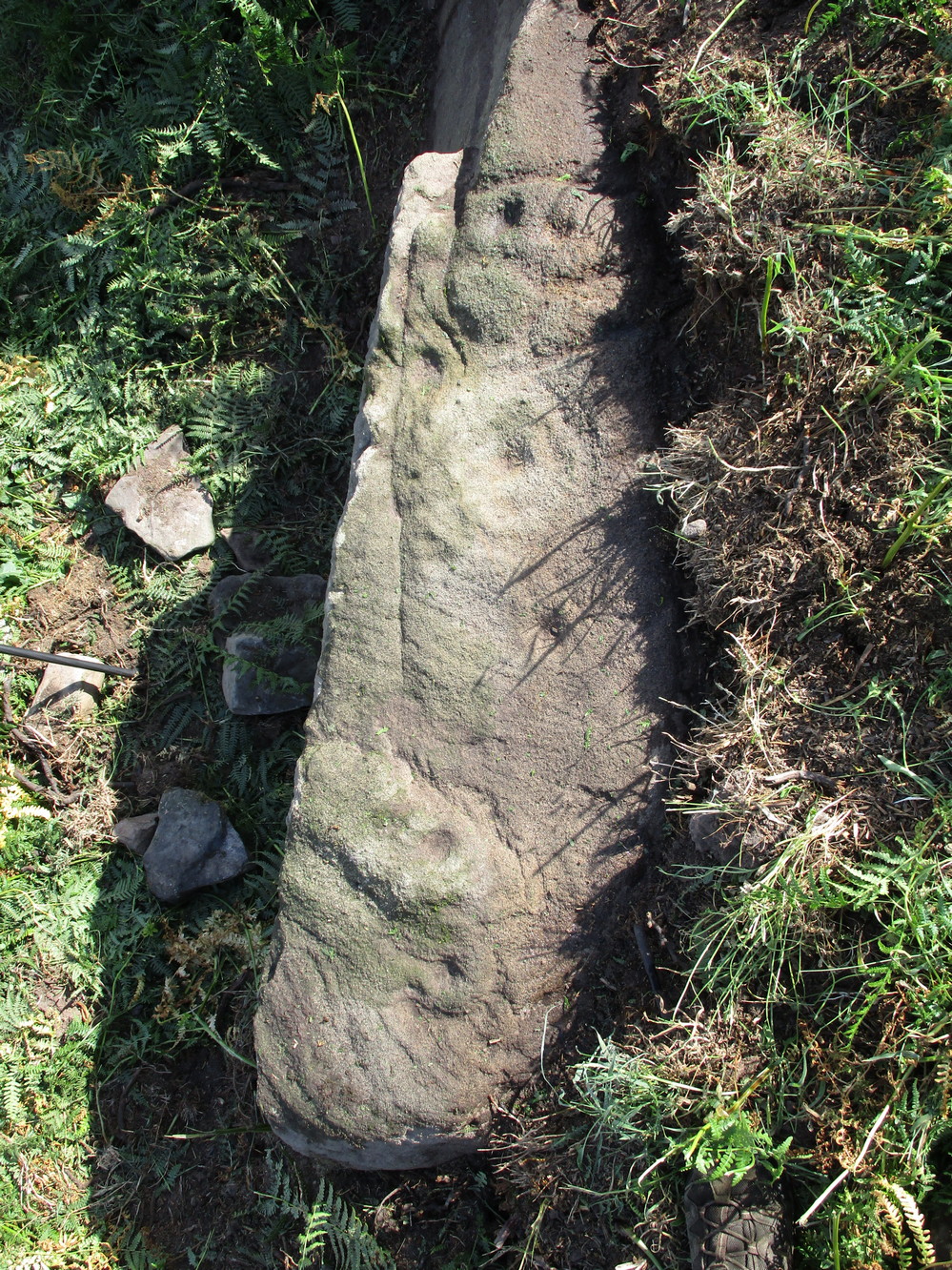
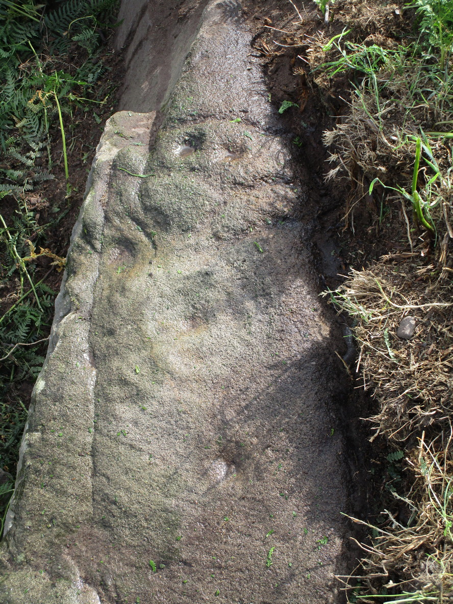
As far as I’m aware, no burial or funerary remains have been found here—but there’s been negligible archaeological attention given to any of the sites on this moorland, meaning that we can draw no real conclusions about the nature of the cairns. They seem to be far too large to be clearance cairns; and the proximity of large scale prehistoric settlements and rock art all round here would strongly suggest they possessed a funerary nature. Several impressive petroglyphs exist right at the edge of this group, literally yards away from them. Check them all out out the next time you see the Tree of Life stone…
References:
- Cowling, Eric T., ‘Cup and Ring Markings to the North of Otley,’ in Yorkshire Archaeological Journal, volume 33 (part 131), 1937.
- Cowling, Eric T., Rombald’s Way: A Prehistory of Mid-Wharfedale, William Walker: Otley 1946.
© Paul Bennett, The Northern Antiquarian