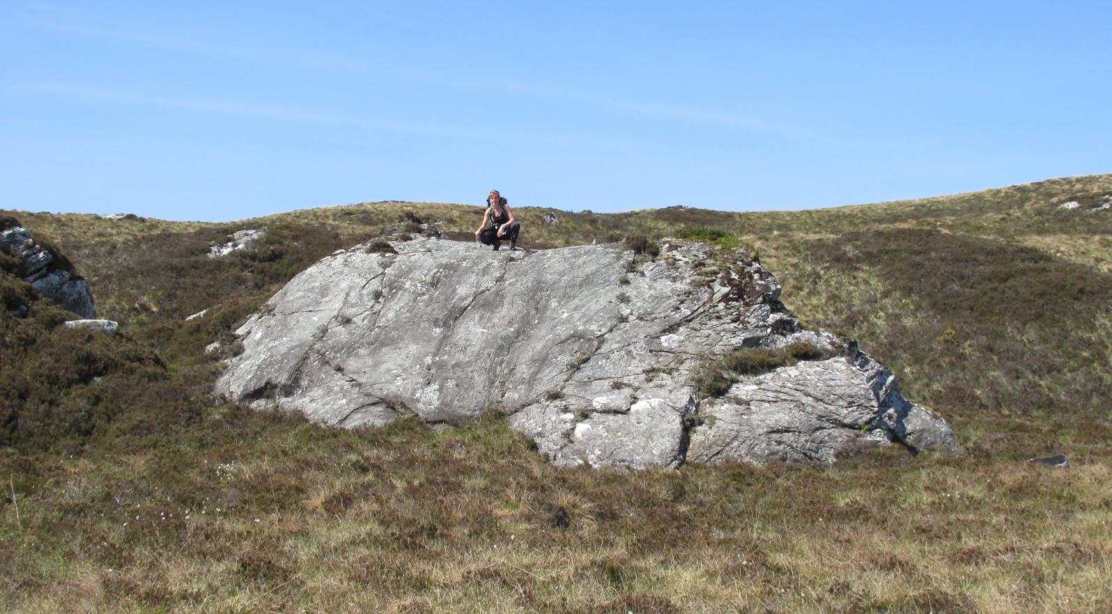
Rocking Stone: OS Grid Reference – NS 37363 61280
Also Known as:
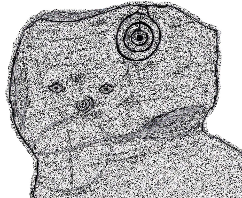
Archaeology & History
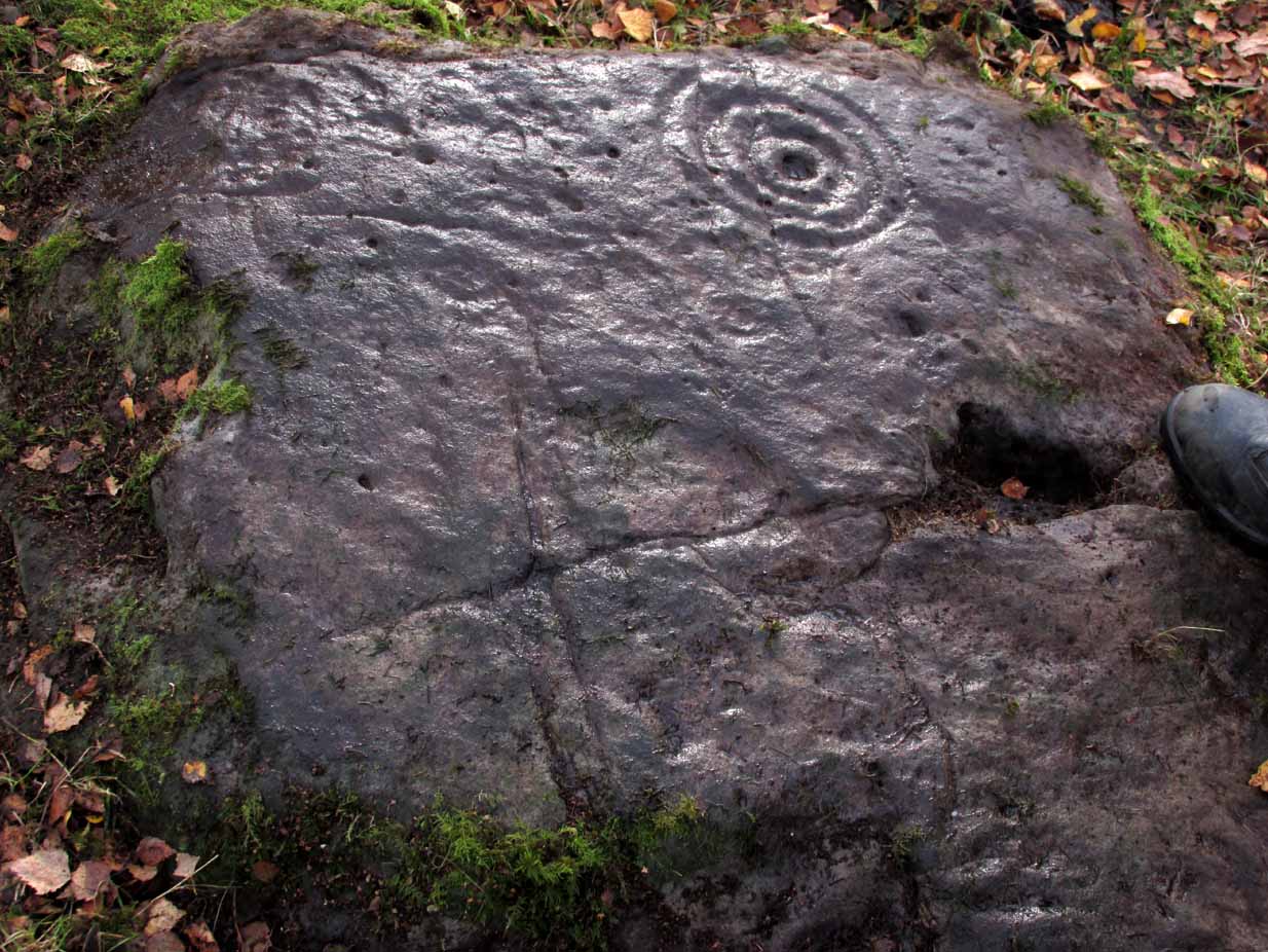
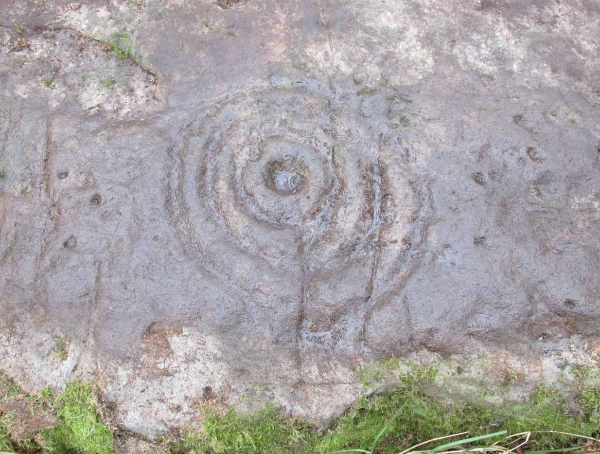
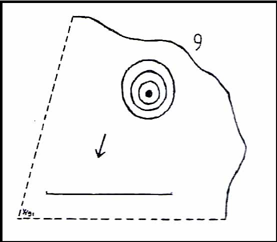
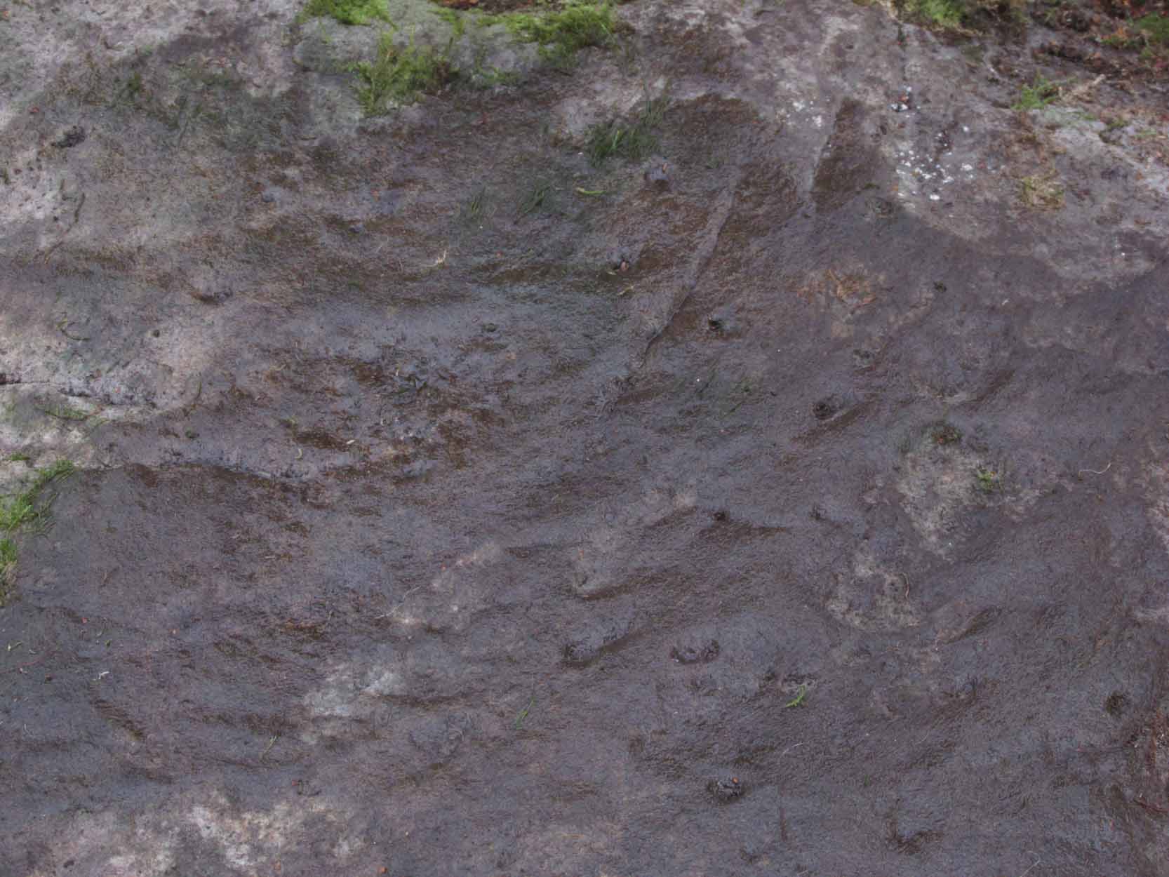
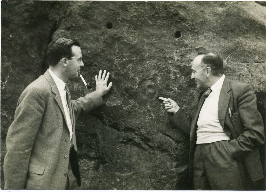
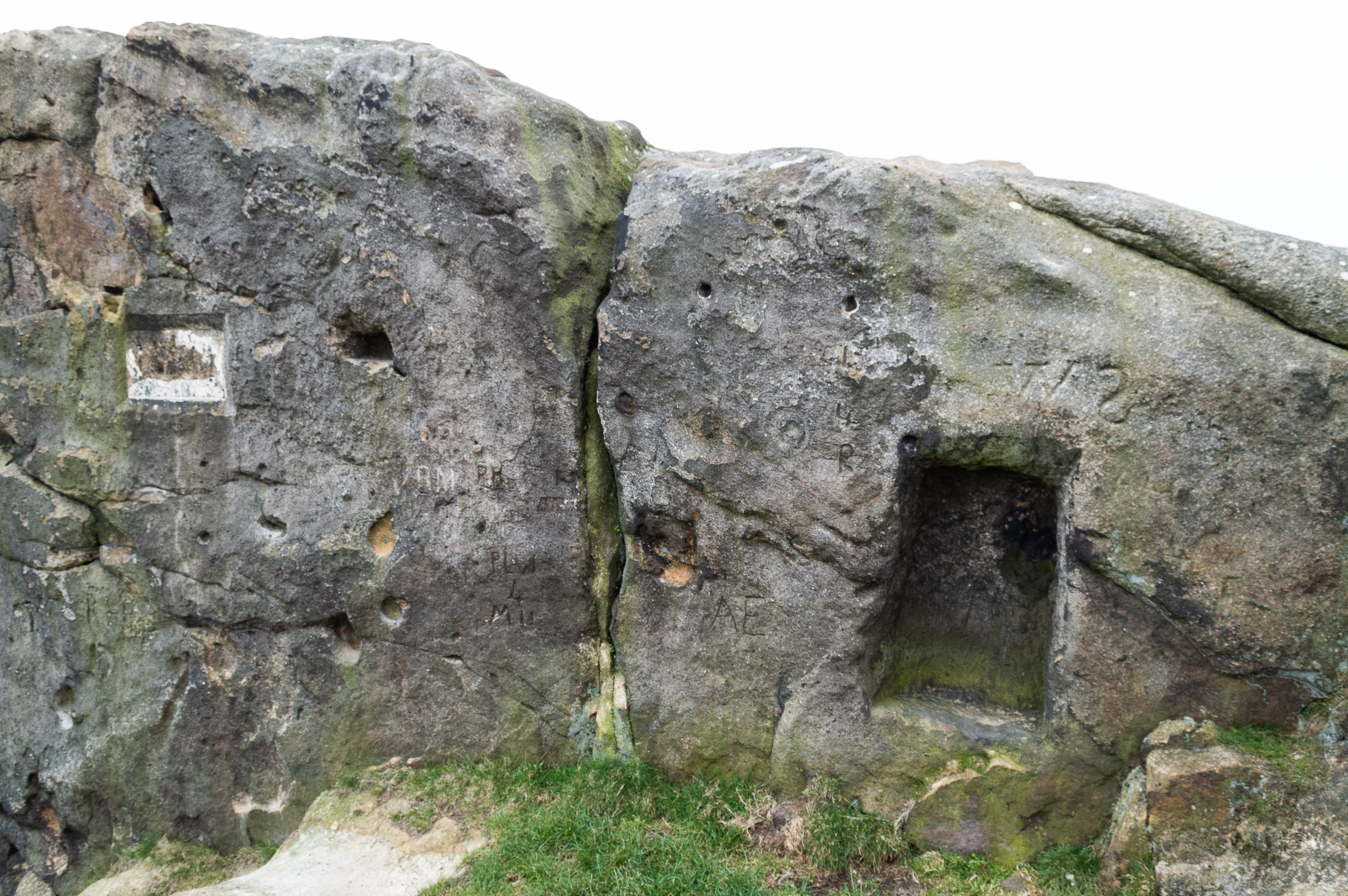
On the outer southern edge of Kilbarchan parish—right near the ancient boundary line itself—this giant stone of the druids is seems to be well-known by local folk. Located about 40 yards away from the sacred ‘St Bride’s Burn’ (her ‘Well’ is several hundred yards to the west), it was known to have been a rocking stone in early traditions, but as Glaswegian antiquarian Frank Mercer told us, “the stone no longer moves.” The creation myths underscoring its existence, as Robert Mackenzie (1902) told us, say
“This remarkable stone, thought by some to have been set up by the druids, and by others to have been carried hither by a glacier, is now believed to be the top of a buried lava cone rising through lavas of different kind.”
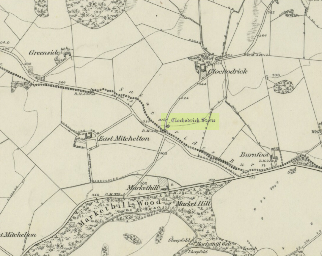
The site was highlighted on the first OS-map of the area in 1857, but the earliest mention of it seems to be as far back as 1204 CE, where it was named as Clochrodric and variants on that title several times in the 13th century. It was suggested by the old place-name student, Sir H. Maxwell, to derive from ‘the Stone of Ryderch’, who was the ruler of Strathclyde in the 6th century. He may be right.
Folklore
Folklore told that this stone was not only the place where the druids held office and dispensed justice, but that it was also the burial-place of the Strathclyde King, Ryderch Hael.
References:
- Campsie, Alison, “Scotland’s Mysterious Rocking Stones,” in The Scotsman, 17 August, 2017.
- MacKenzie, Robert D., Kilbarchan: A Parish History, Alexander Gardner: Paisley 1902.
Acknowledgements: Big thanks to Frank Mercer for use of his photos and catalytic inception for this site profile.
© Paul Bennett, The Northern Antiquarian