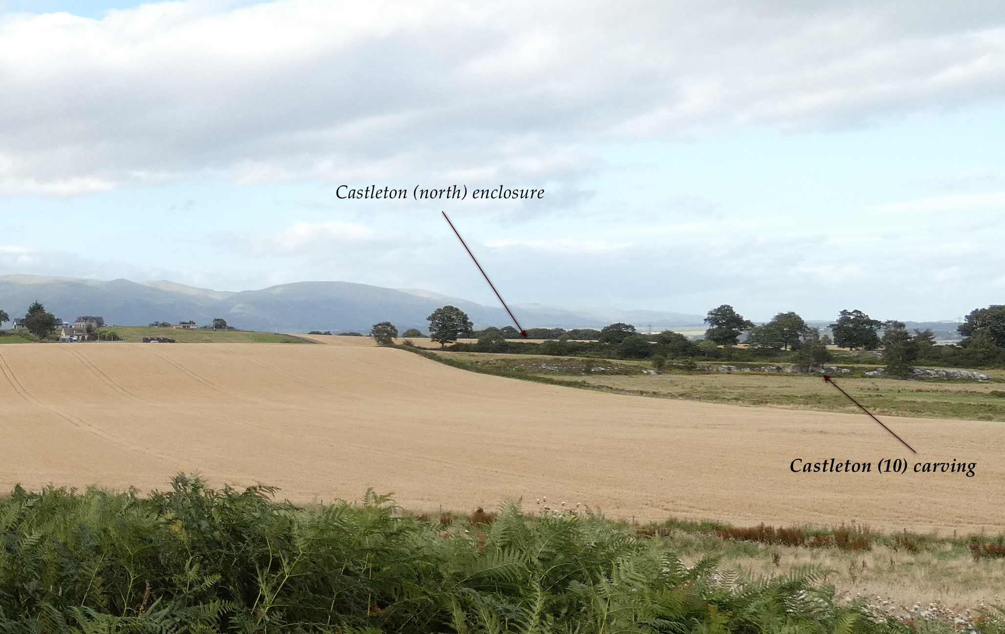
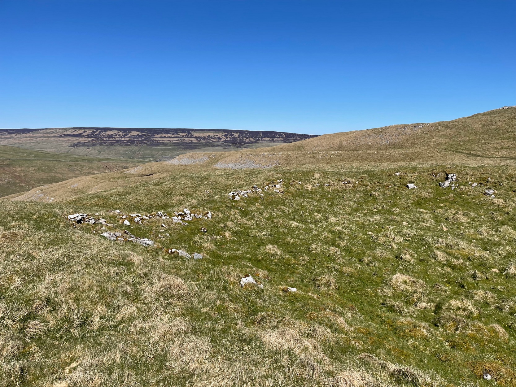
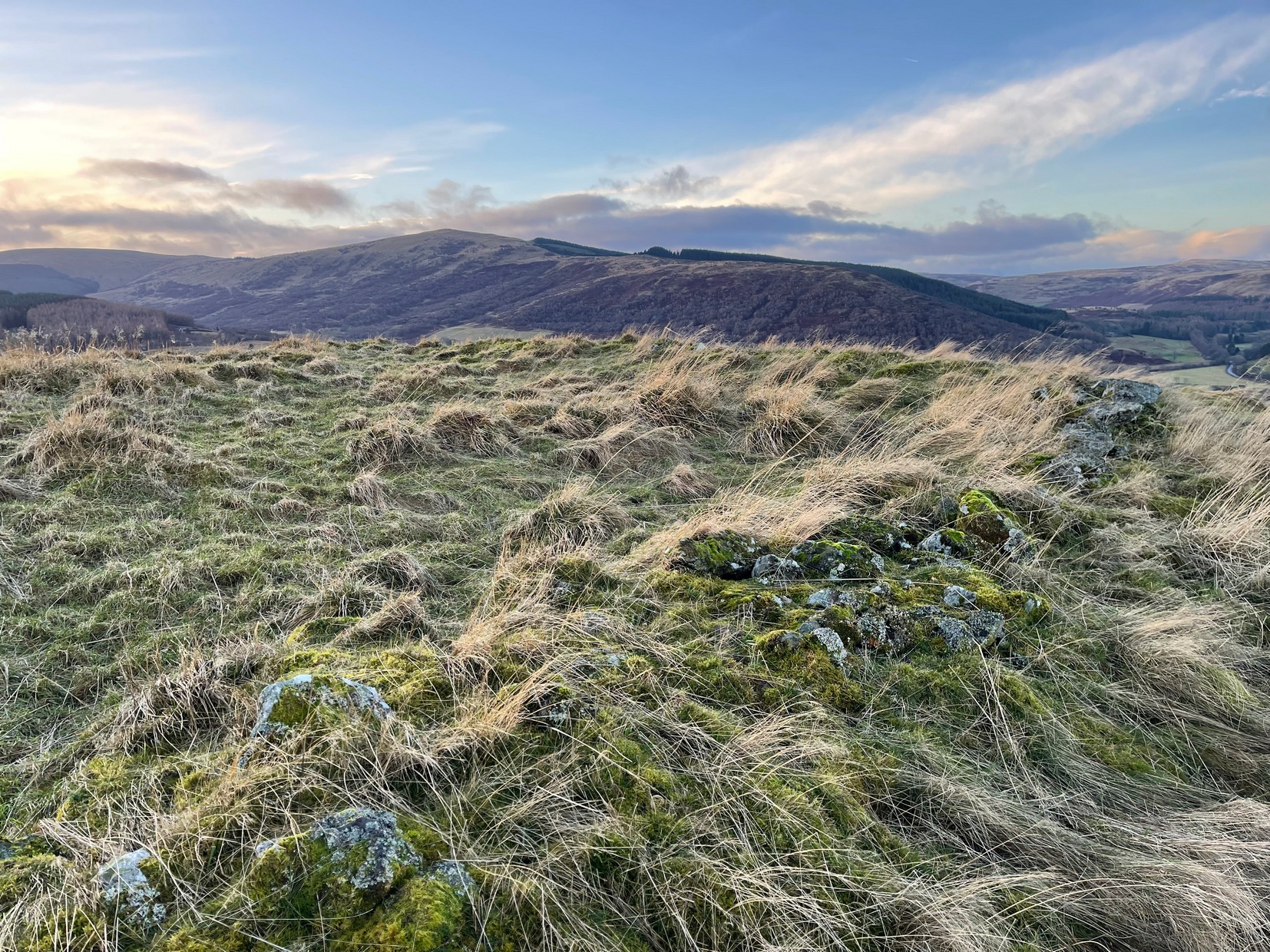
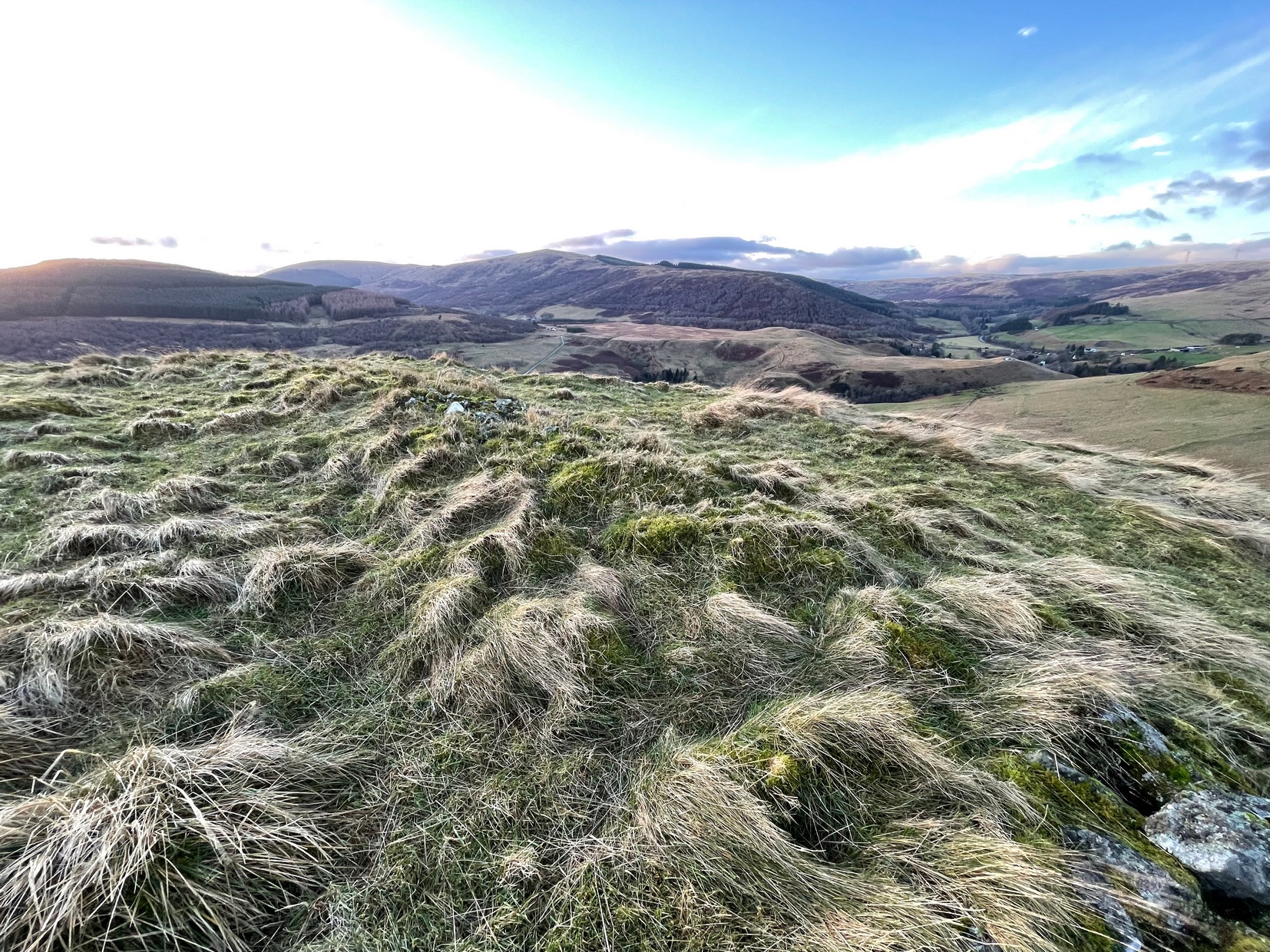
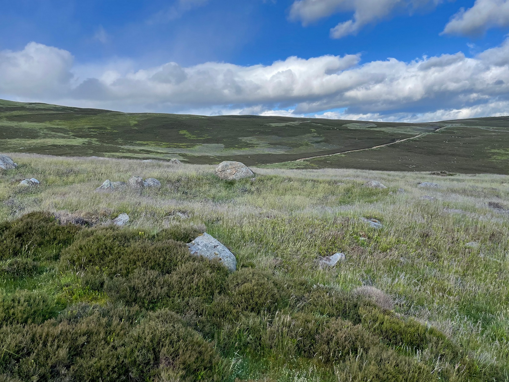
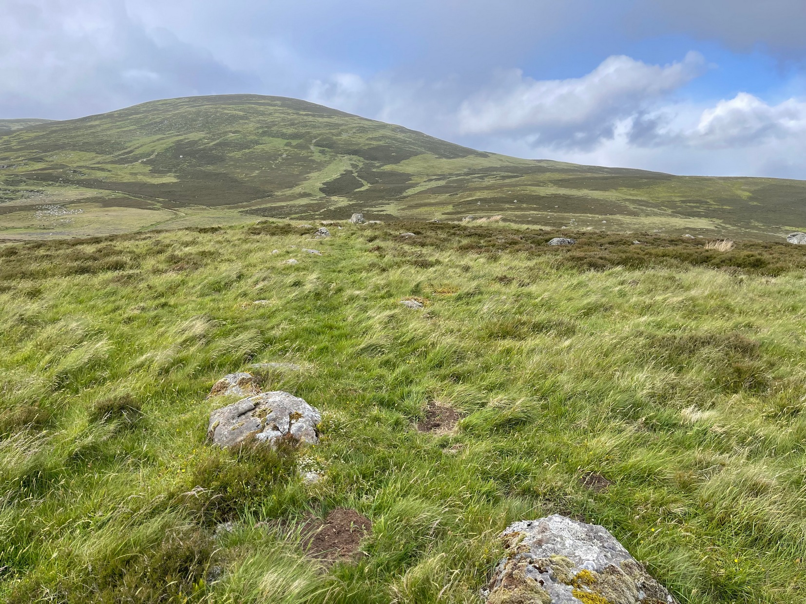
In the fields immediately above the northernmost of the Castleton petroglyphs, there was, in bygone times, a prehistoric settlement, forgotten and cast even from folk memory until very recently, when aerial photography revealed the ghostly outline of its former existence. Similar in design, but somewhat smaller than the prehistoric Gallamuir enclosure a half-mile southwest of the Castleton carvings, this double-ringed oval enclosure—thought by archaeologists to have been defined all round with large wooden stakes, or palisaded—measures, from outer edge to outer edge, 65 yards (SE to NW) across its longer axis, by 55 yards (SW to NE). The gap between the trenches that define the inner and outer wooden ‘walls’ is between five and six yards apart all round it. The entrance to the enclosure seems to have been on its southeastern side—although an excavation is needed to be sure about this. Sadly, almost nothing can be seen of the site at ground level. An archaeo-dig would be a good idea. 🙂
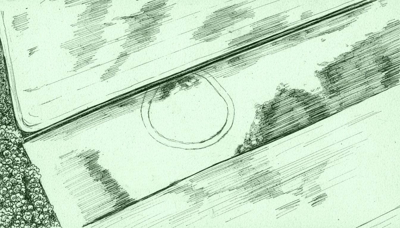
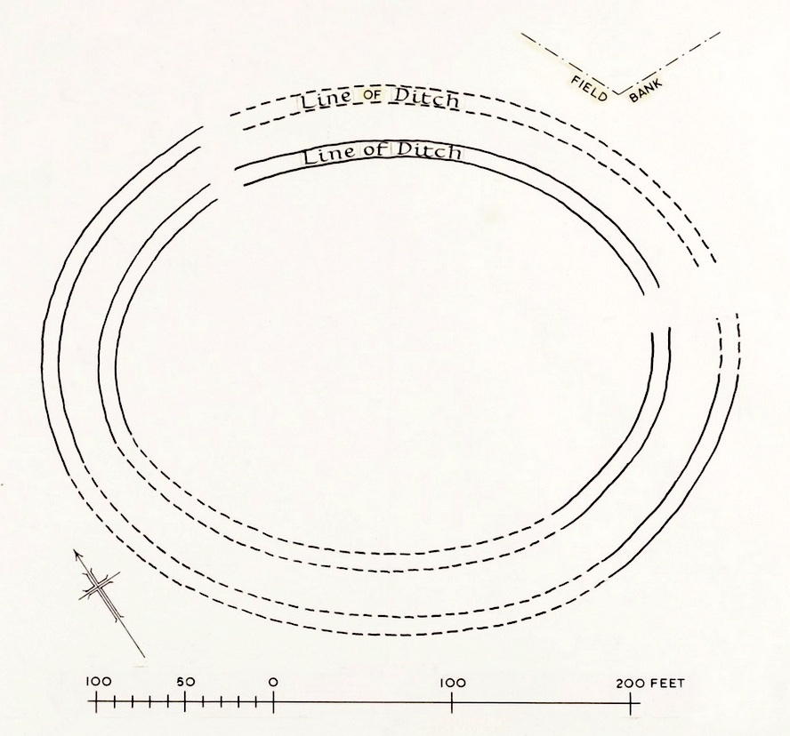
Rough sketch of site-plan
‘Palisade enclosures’ tend to be neolithic in origin and were in use for many centuries, sweeping into the Bronze Age. I highlight this long period in time due to the proximity of the extensive and very ornate cup-and-ring carvings that start just 300 yards southwest of the settlement on the first rock outcrop that you meet. It’s a good one too! Petroglyphs were also created mainly during the neolithic and Bronze Age periods; and as the enclosure here is on the slight rise in the land overlooking the various small rocky ridges below, many of which are decorated in ornate cup-and-rings, it’s likely that some of the people who lived here were probably the people who did them…
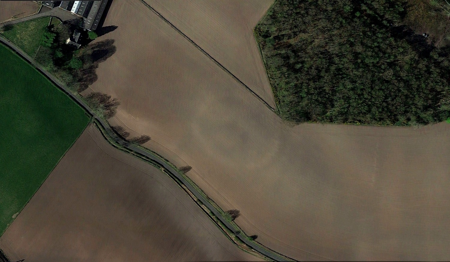
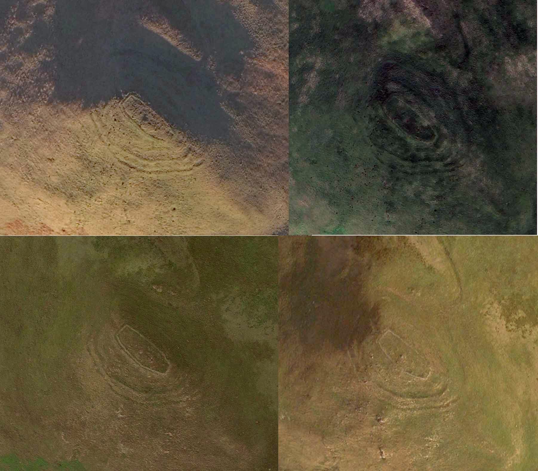
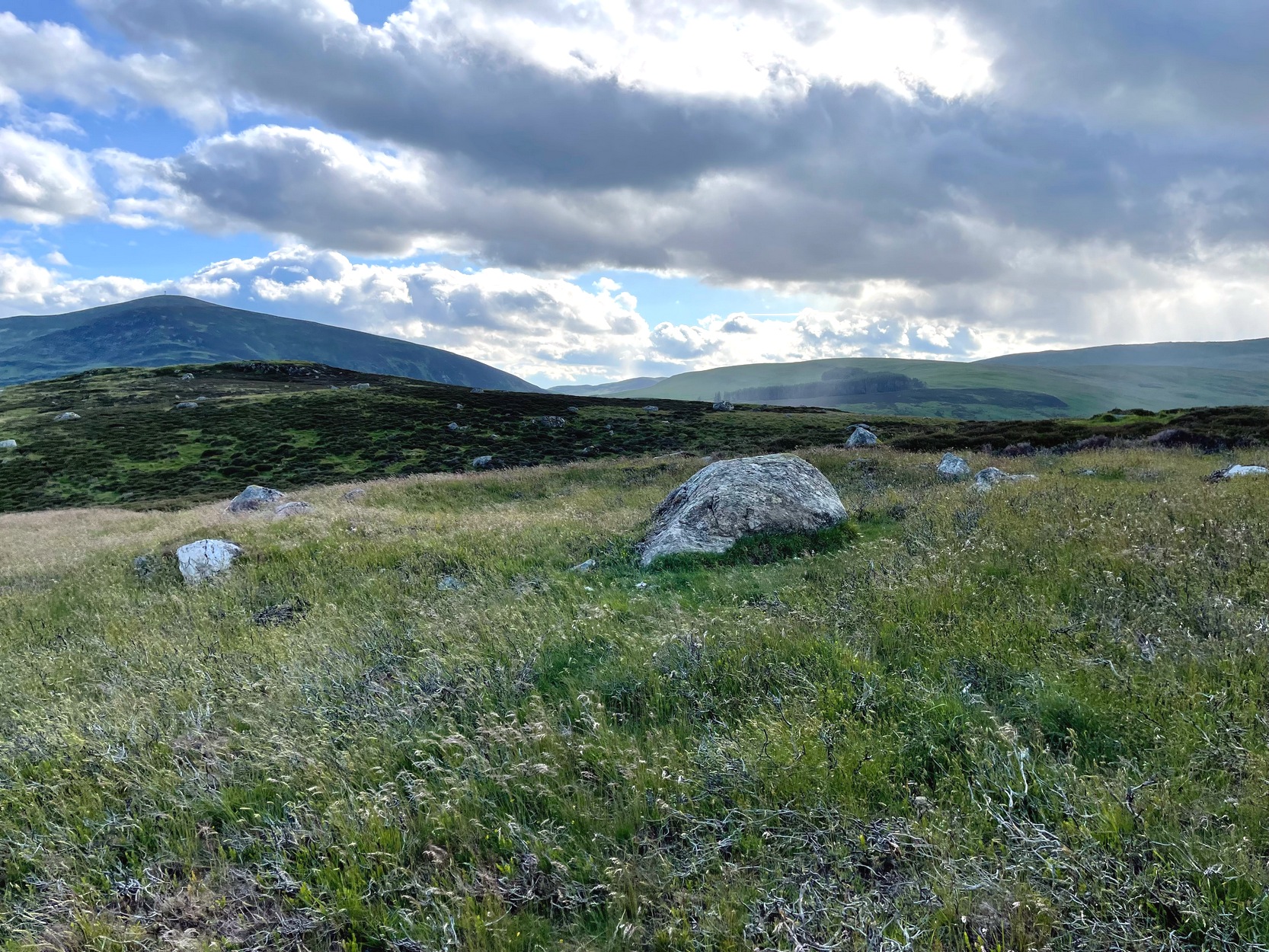
Just over a half-mile (1km) south-west of the major rock art complex at Castleton, in the fields just east of Gallamuir Farm on the north side of the B9124 road, could once be seen a decent double-ringed enclosure, prehistoric in nature. At ground level today there is nothing to be seen as agricultural practices have ever so slowly eroded it away. It wasn’t in a good state when the dudes from Royal Commission (1963) had a look at it in October, 1951—although they did tell us that some faint remnants were discernible, but it was fading fast! They wrote:
“No traces of this structure can normally be seen on the surface, but at the date of visit, when the site was covered with wheat stubble, stretches of both ditches were clearly visible, as shown on the plan (below), by reason of the stronger growth of the stubble overlying them. The ditches are from 20ft to 30ft apart, and the enclosed area measures 300ft from ESE to WNW, by about 240ft transversely. Two narrow gaps in the inner ditch on the north and east arcs respectively, may represent original entrances.”
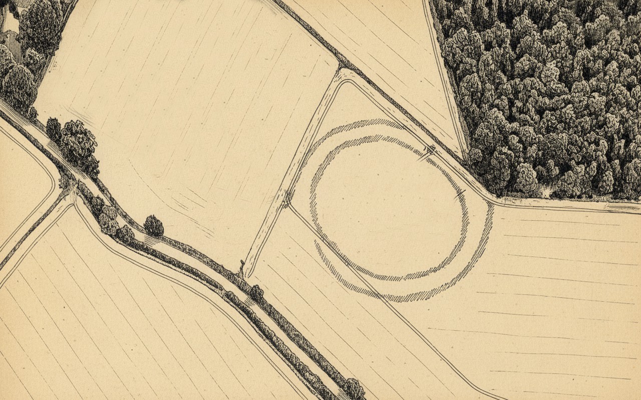
Outline sketch of the enclosureRoyal Commission plan
Nothing remains of it today apart from the shadow-marks of its former existence when looked down from above. The double embankment that constituted the enclosure initially suggested it to be Iron Age in nature, akin to the larger hillforts up and down the country, but the outline is more consistent of a standard settlement enclosure. As far as I’m aware, no excavations have taken place here, so we’re at a loss to know whether the people living here had anything to do with the rock art just across the fields at Castleton. If we found that it had a Bronze Age or neolithic date, a connection could be likely. But we may have to look at the enclosure immediately north of the Castleton complex to be more sure of our petroglyphic culprits….
References:
Lock, Gary & Ralston, Ian, An Atlas of Hillforts of Great Britain and Ireland, Edinburgh University Press 2022.
Royal Commission on the Ancient & Historical Monuments Scotland, Stirling – volume 2, HMSO: Edinburgh 1963.
Royal Commission on the Ancient & Historical Monuments of Scotland, Archaeological Sites and Monuments of Stirling District, Central Region, Society of Antiquaries of Scotland 1979.
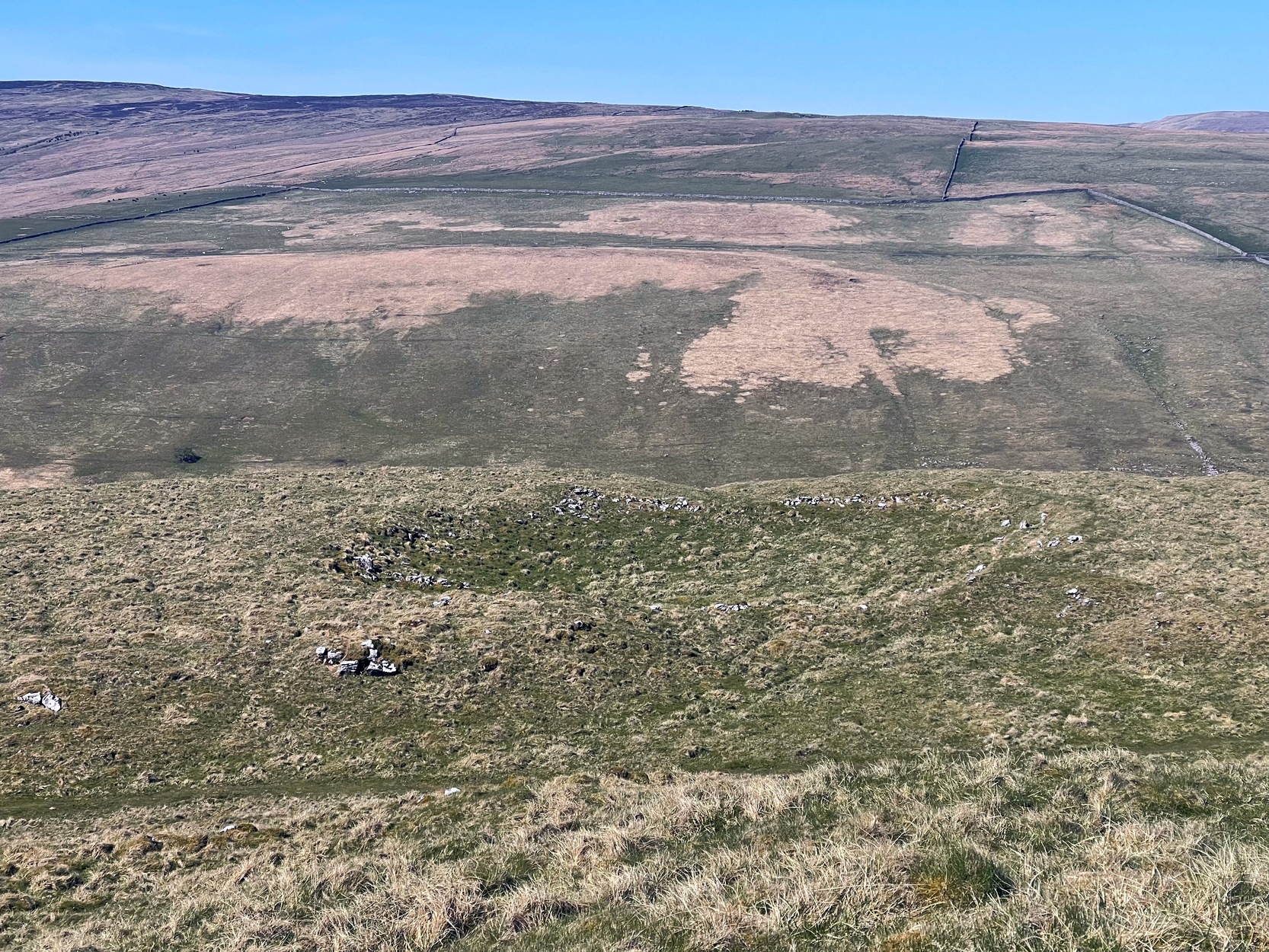
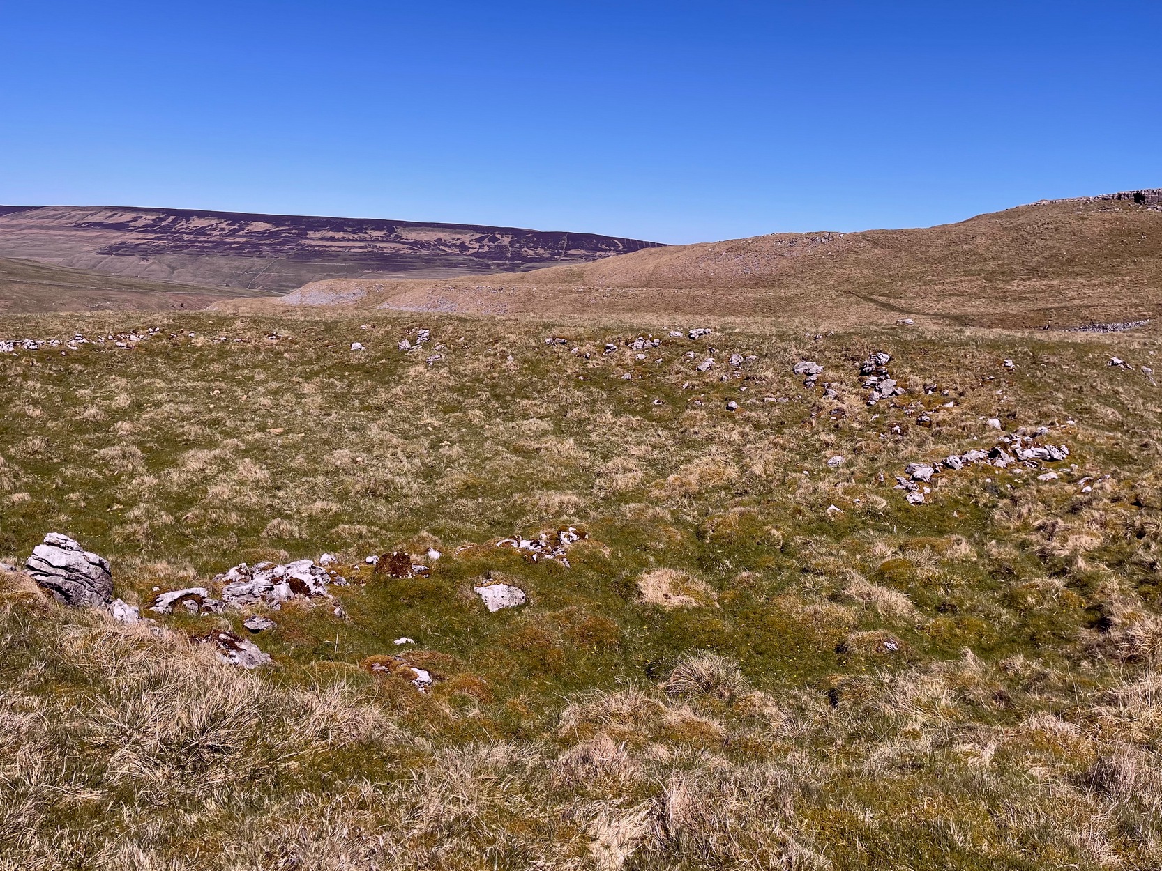
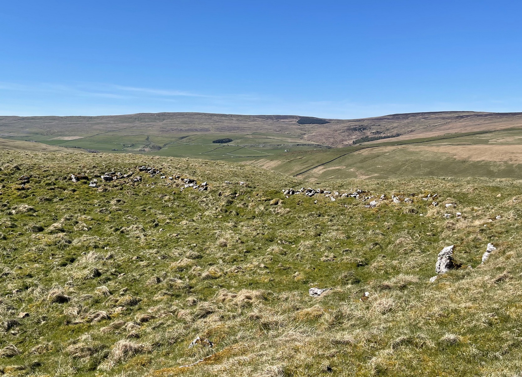
From Arncliffe village, walk past the front of the Falcon Inn village pub and along the track called the Monk’s Road. After a short distance it becomes a dirt-track where the old house lives. Less than 200 yards past the old house, a footpath takes you over the wall, then you walk 200+ yards southwest and through another wall, then up the curvaceous footpath diagonally WSW up the steep hill until you go over another wall where the land levels out. Follow the footpath along the edge of the steep drop for just over a mile where you’ll cross the fifth wall (the Clowder (1) enclosure is up above you by the rock outcrop to the left) and 100 yards along, just north of the footpath, you’ll see a large hollow defined by rocks and low walling. You’ve arrived!
Archaeology & History
The south & eastern walls
Amidst the scattered remains of the extensive Dewbottoms settlement complex, this large hollowed walled enclosure is pretty clear to see. Measuring 40 yards north-south across its longest axis and 31 yards east-west, the structure is like an erratic rectangle in shape, with entrances in the middle of its northern wall and, perhaps, another along the southern side too. It’s quite deep too, being several feet lower than the land around it, keeping it protected from any strong winds above: an ingredient that would obviously have been taken into consideration when it was being built. The walling that defines the structure is a contrived mix of Nature’s own semi-circle of earthfast limestone rock, with intermittent gaps filled-in with thousands of small stones placed there by humans, 2-3000 years ago. It’s quite impressive when you see it in the flesh.
Northern wall & dipped entranceThe west & northern walls
The site appears to have an Iron Age to Romano-British pedigree – although I’m hedging a bet that the place was probably still in use during medieval times. The enclosure has the appearance of some sort of prehistoric village hall. There are no hut circles or any other walled structures inside the overall enclosure, meaning it may have been used, perhaps, for tribal village gatherings; or it might just have been a large enclosure for cattle. Only an excavation would tell us one way or the other.
Anyhow, if you’re coming up to see the Dewbottoms complex from Arncliffe, this is the first main thing that you’ll come across. From here, to your immediate south and west, there’s a mass of prehistory beneath your feet. Make a long day out of it as you’re gonna be somewhat overwhelmed by the magnitude of it all.
References:
Charlesworth, D., ‘Iron Age Settlements and Field Systems,’ in Proceedings of the Archaeological Journal, 125, 1968.
Dixon, John & Phillip, Journeys through Brigantia – volume 2, Aussteiger: Barnoldswick 1990.
Raistrick, Arthur & Holmes, Paul F., Archaeology of Malham Moor, Headley Brothers: London 1961.
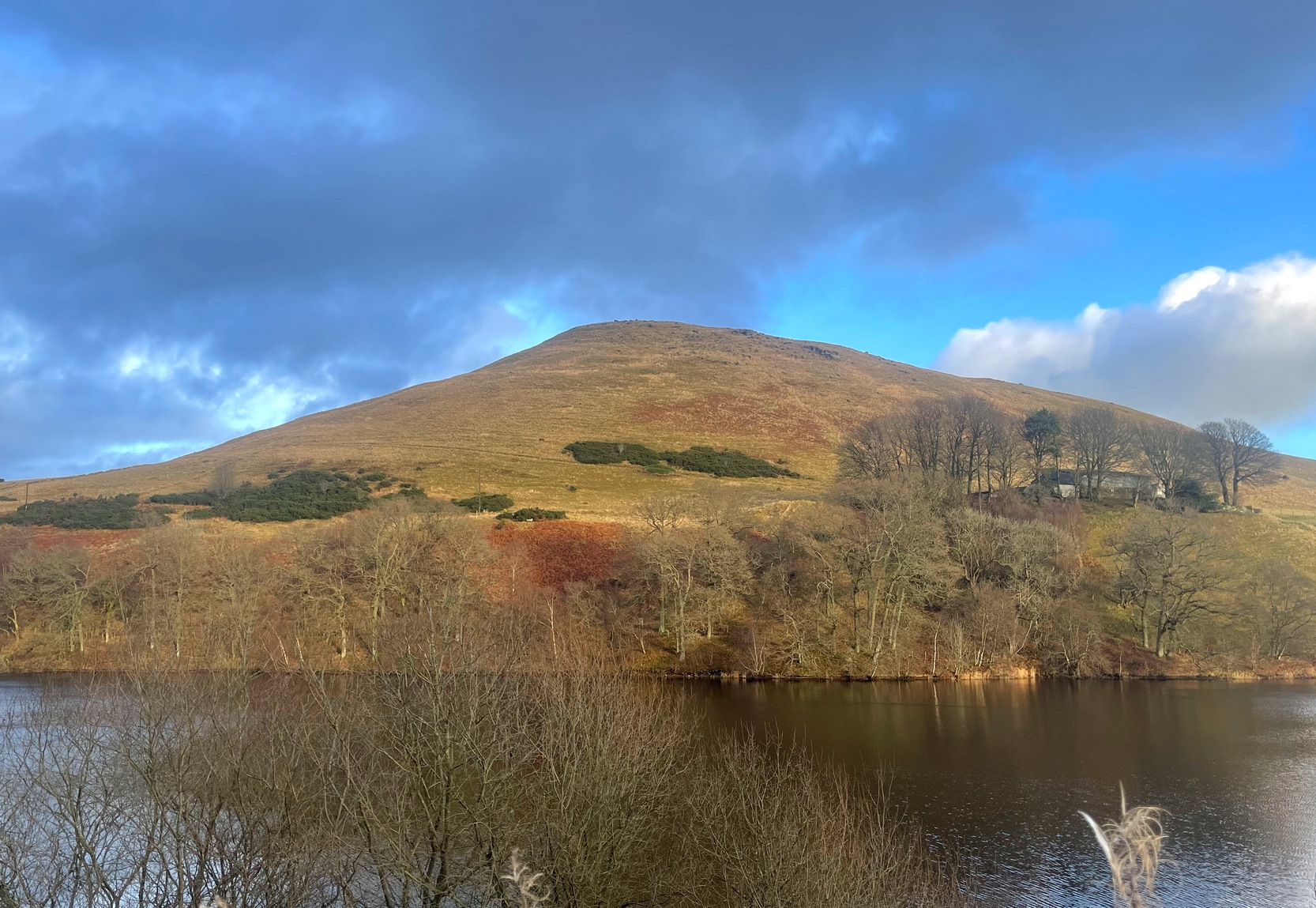
Travelling north along the A823 Glendevon road (between Muckhart and Gleneagles), barely 2 miles after Muckhart, on your right you’ll see the large Castlehill reservoir. Park here. Across the waters is the large Down Hill—which the hillfort crowns. So, just walk back the way you came along the road for nearly 600 yards and then turn left to walk onto the other side of the water, round to the very end of the track and then up the path into the trees. Walk along this winding path for 300 yards until you reach the track that takes you (left) up to Downhill Farm. One way or the other, past there, just stagger up to the top of the hill!
Archaeology & History
SW wall from rampart
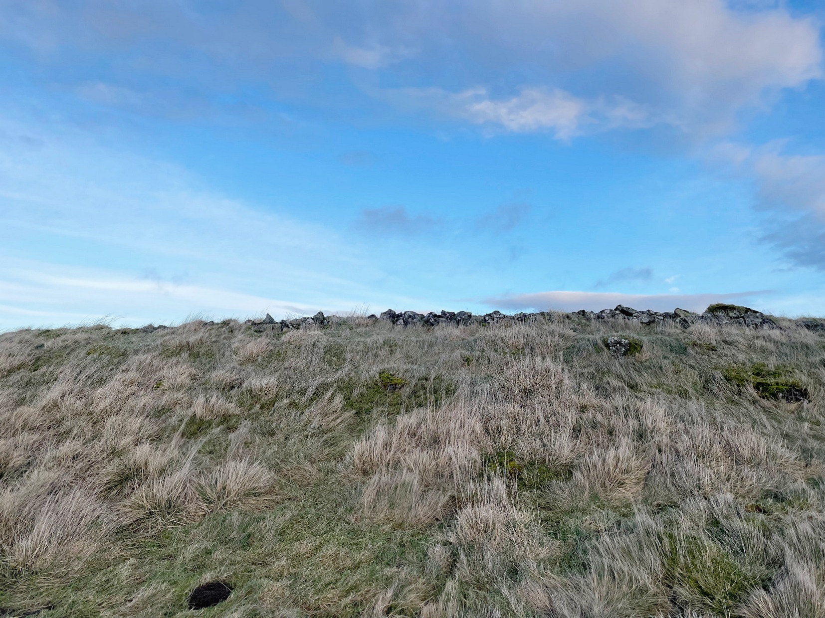
My only visit here was a short one – when some pretty awesome freezing gales were nearly throwing me off the top once I’d got up there! Twas incredible! On my way to the top, nearly there, on its western side, I stopped and looked each side of me as it looked as if a long overgrown line of embankments was running roughly north-south. It seemed very vague and hillforts aren’t my subject, so with the help of the wind throwing me everywhere, I made my my final zoom to the summit, only to be intruded upon again, perhaps 50 feet from the top by another similar-looking embanked ridge—this time with some stones along it and which I was pretty sure were earthworks, or ramparts as they’re known. And so it turned out to be.
Once on top, the views are superb! But I couldn’t really take it in on my short visit here as the freezing wind was truly incredible and I could barely stand upright. And so I briskly followed to the quite notable stone-walled edges of the main prehistoric “enclosure” and walked round the edges as best I could, hoping that at least one or two of the photos I was taking weren’t too blurred.
Views from aboveSW wall & central structure
The interal “settlement” portion of the hillfort is quite large, obviously, allowing for a good number of people to live here (regardless of the wind!). It’s roughly oblong in shape, aligning northwest to southeast, measuring in length a maximum of 78 yards from outer wall to outer wall, with a maximum width of 30 yards (SW to NE). The collapsed walling is still quite extensive and visible above the long grasses almost all the way round the entire structure, averaging one or two yards across. Near the centre of the fortress is a large pile of stones that seemed to have been a structure of some kind, but when i was here I didn’t hang around for too long to inspect it as I was, by now, bloody freezing! It didn’t seem to be a walker’s cairn, but we need another gander to work out what it might have been.
Northern arc of wallingNW line of walling
Curiously this site has had little said about it in archaeo-tomes and to my knowledge, no excavations have happened here. Incredibly, the place wasn’t even recognised as a prehistoric site in official records until the Royal Commission (1963) told of it being “discovered during the survey of marginal lands (1956-58)”! Its very name derives from the word dun, or fort (Watson 1995) and as the place-name writer found out, it was first mentioned in 1542, as Donehill, and many times thereafter in various documents.
Anyhow—check the place out. It’s mightily impressive and the views from the top are excellent. Just avoiding going up there in a freezing gale!
References:
Hogg, A.H.A., British Hill-Forts: An Index, BAR: Oxford 1979.
Royal Commission on the Ancient & Historical Monuments Scotland, Stirlingshire – volume 1, HMSO: Edinburgh 1963.
Watson, Angus, The Ochils: Placenames, History, Tradition, PKDC: Perth 1995.
Acknowledgements:Huge thanks for use of the Ordnance Survey map in this site profile, reproduced with the kind permission of the National Library of Scotland.
From the Askwith Moor car-park (SE 1757 5067), walk along the road north for a few hundred yards until you reach the gate on your right and head through the heather to the Death’s Head carving. From here walk in a northwesterly direction up the gentle slope for 50-60 yards and, before reaching its crown, keep your eyes peeled for a low flat stone with a curvaceous crack running roughly halfway across it. If the heather’s deep, you might not have a cat in hell’s chance of finding it!
Archaeology & History
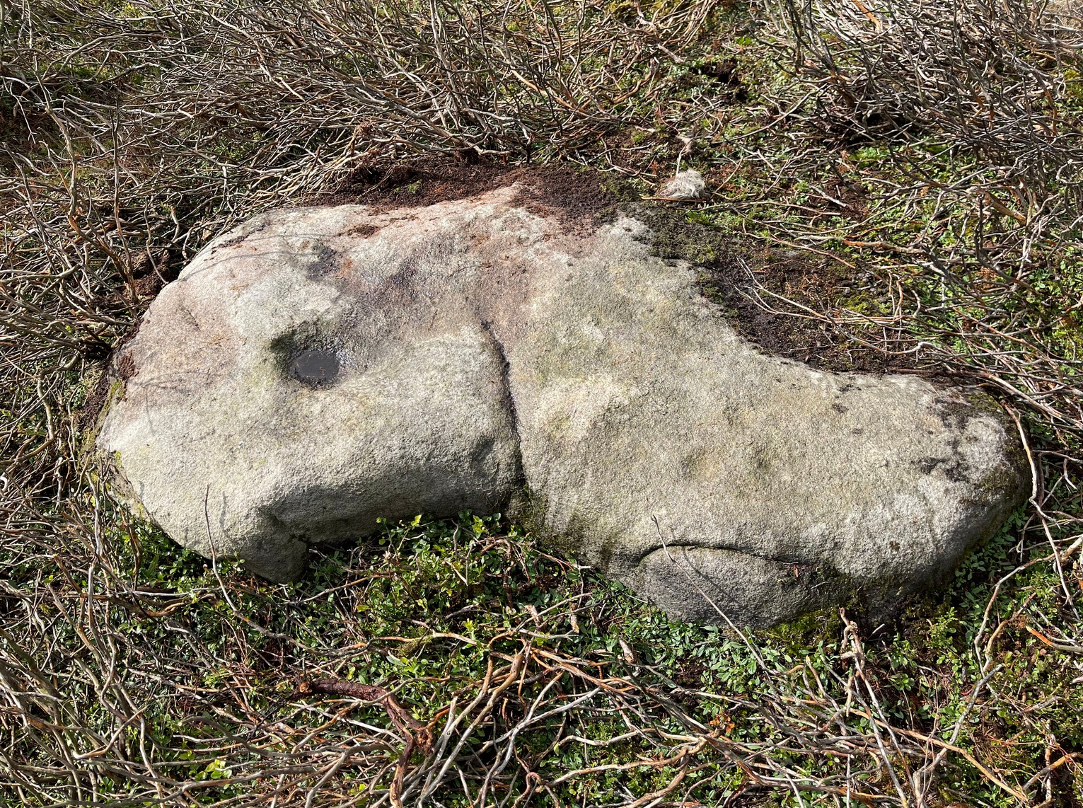
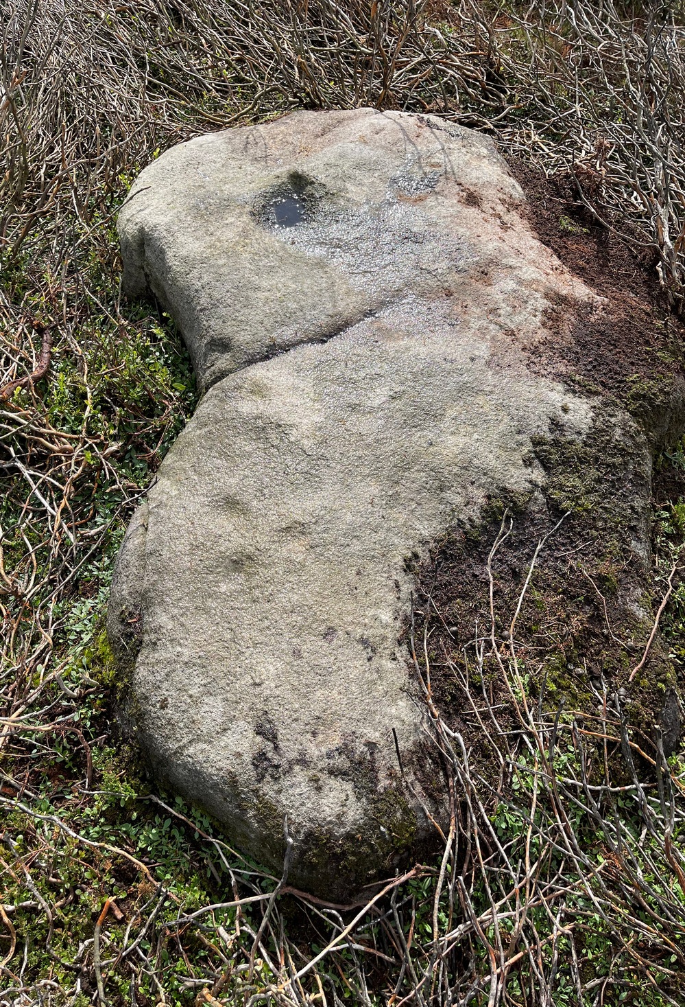
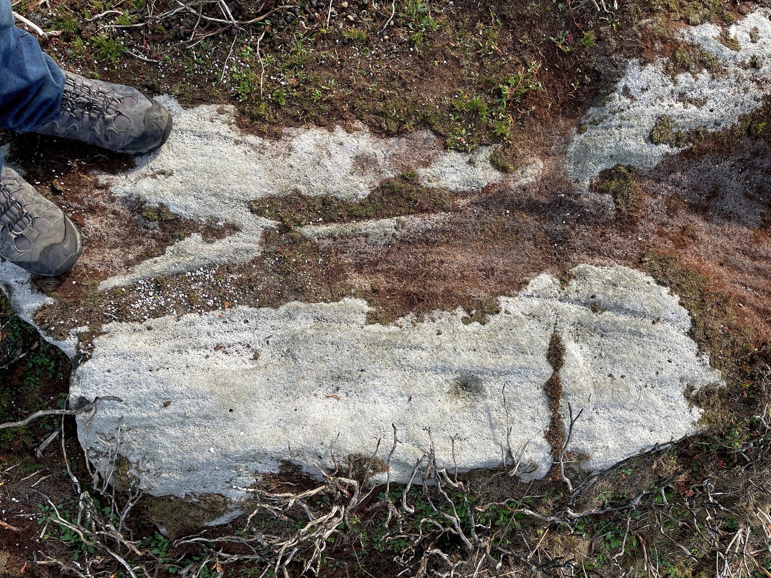
This carving isn’t much to look at on two levels: i) it’s a pretty simplistic design with no rings, and (ii) it’s very faint and almost impossible to see until the light is just right—except for one of the cups, which itself might be natural (there are a few like that amidst the Askwith complex). It’s very much a carving for the purists among you, as I always say. Nonetheless, for the record:
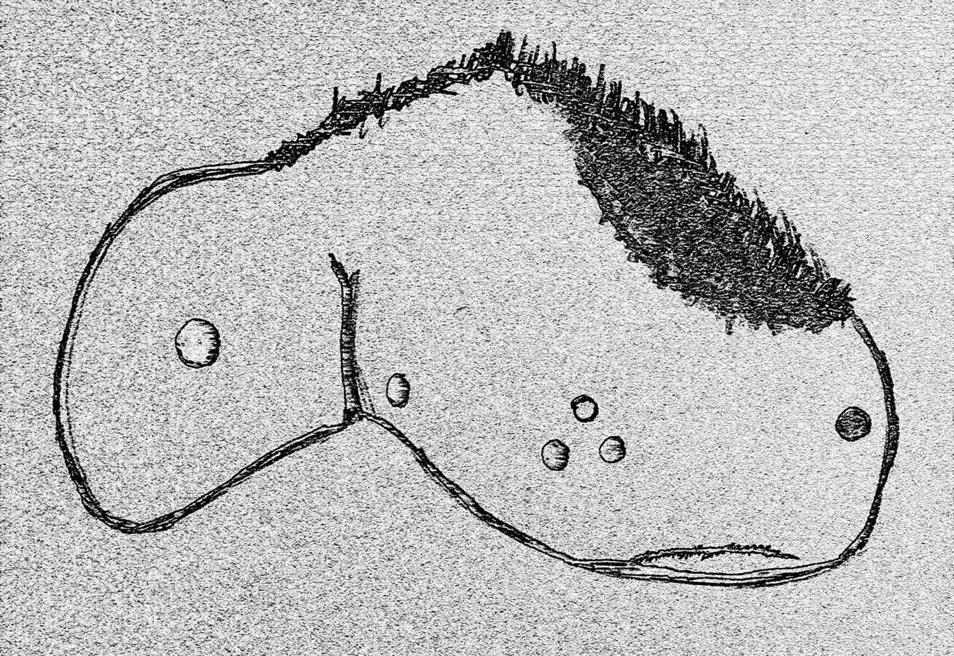
Crap sketch of designFaint cups visible
The most notable element is the single “cup mark” on the more easterly section of the stone, on one side of the natural crack. It catches your eye and is what makes you give the stone a little more attention, although I couldn’t make up my mind whether this was Nature’s handiwork or humans. It may be a bit of both. On the other side the crack we can see a small group of very faint eroded cup-marks — just! What seems to be three of them cluster in a small triangle formation, but one of these may be natural (tis hard to say for sure), with another isolated cup closer to the crack, and a final one further to the outer edge of the stone. All are very faint but stood out when the sun was low on our recent visit here. Give it your attention when you’re next having a look at the settlement and cairnfield close by.
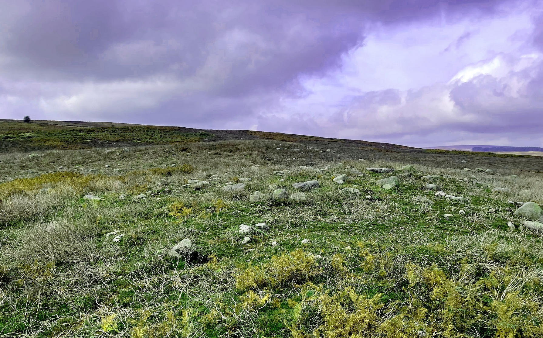
From the Askwith Moor car-park (SE 1757 5067), walk along the road north for several hundred yards and go through the gate on your right. Head northeast through the heather to the Death’s Head carving and keep along the same direction for barely another hundred yards onto the ever-so-slight crown of a small hillock. This is a hut circle you’re standing in/on. A few yards away just to the southeast of where you’re standing is the very denuded remains of this ring cairn.
Archaeology & History
Low remains of rubble wall
Not visible when the heather’s in full growth, it’s nonetheless worth visiting if you’re trying to get a picture of the prehistoric landscape hereby. Less than 10 yards southeast of the notable hut circle on the small crown of a hill, it was first noticed by Sarah Walker on a group visit here recently. Roughly 12 yards across, the most notable section of the circle is the remains of the rubble bank on its east and southeastern sides, raised a few feet above ground level. The majority of the monument comprises of a scatter of various rocks and small stones within and round the edges of the circle. There’s a lot of scattering from other adjacent remains, such as the hut circle and nearby walling, that give the initial impression of it being little more than a spurious mess of stone; but the more you walk around and inside it, the more you come to recognize its structure.
It has that Bronze Age hallmark look about it, but without an excavation this is just educated guesswork. It might actually be older. The widespread mass of prehistoric remains all round here shows that it was once a mass of activity in prehistoric times. It’s a brilliant area, even if you can’t find this particular site!
Cup-and-Ring Stone (destroyed?): OS Grid Reference – SE 314 537
Archaeology & History
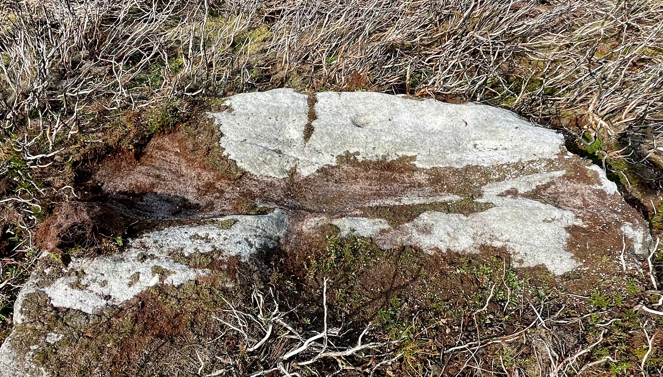
The chances of this carving still being alive, so to speak, are pretty slim. It was reported by a Mr. Sullivan to the old Yorkshire petroglyph researcher Stuart Feather back in 1965, in the days when English archaeologists didn’t really give a shit about rock art. Sad but true. The carving was found in the grounds of what used to be the ICI Fibres Research Centre, in the present landscape of Hornbeam Business Park, a hundred yards or more west of Hookstone Beck. According to Feather’s report, the carving consisted of “a single-ringed cup and a groove” surrounding “two short pecked grooves and a meandering groove leading off,” all with clear signs of being pecked and carved in the old-school manner. All trace of the carving has vanished and it was probably destroyed by the Industrialists. (the grid-reference to this site is an approximation)
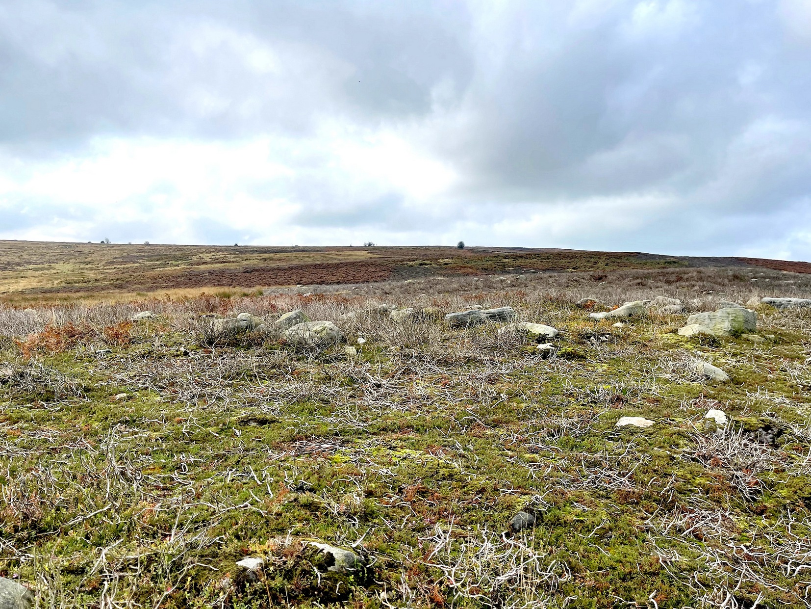
Easiest way is to park up at the Askwith Moor car-park spot, turn right and walk along the road for about 350 yards until you reach the gate on the right (not the one across the road!). You then need to head to the Death Head’s Stone carving about 450 yards across the moor to the east. It’s pretty conspicuous. From here, walk through the heather 80-odd yards northwest. You’ll walk past some extensive rubble walling (whose nature yet eludes us) before you get there.
Archaeology & History
Looking down at the cups
Discovered recently by Sarah Walker on a venture to see the extensive settlement and graveyard around Snowden Crags, this petroglyph is a simple basic design cut into a relatively large flat stone just above ground level. Found less than 100 yards east of the dubious Snowden Carr (565)carving, there are two large cup-marks on this one: one of them is an inch deep and two-inches across and may originally have been geophysical in nature, but has subsequently been worked by human hands. To its side is another much fainter and shallower cup-mark about the same width. On some photos there’s what appears to be a very faint large ring surrounding the faint cup, but until visits are made at low sun and the stone brushed with water, we cannot be sure whether it’s real or just a trick of the light. There may be more cups on this stone beneath the peat. We didn’t brush it all off.
Some 30-40 yards to the east is the rubble of an extensive prehistoric man-made structure, the nature of which has yet to be discerned. The Snowden Moor cairnfield begins immediately to the northwest, with the first tomb barely 50 yards away.
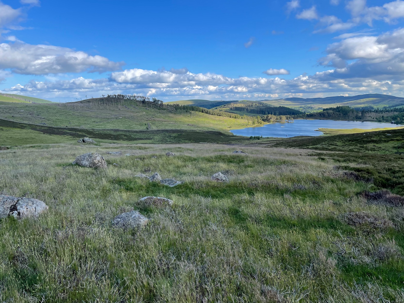
From Alyth, take the B954 road north to Glen Isla, or from Kirriemiur northwest up the B951. Whichever your route, once you pass the Kirkton of Glenisla about 10 miles up, make sure you DON’T cross the river bridge a mile past here—instead take the tiny right-turn just before the bridge and go up here (past Folda) for just over 2 miles and then park up where the signpost tells Cateran Trail (if you’ve crossed the next river bridge, you’ve gone 150 yards too far). Walk up the track and, after a mile, it levels-out just where it swerves to go back downhill. Once here, walk off the track and up onto the moorland on your right (south) and where the land levels out, zigzag around, keeping your eyes peeled for the circular stone enclosures. There are several of them.
Archaeology & History
On the way back from seeking out a forgotten holy well at Auchenchapel in the hills above Glen Isla last week, I stumbled across a small group of hut circles which, it turns out, weren’t in the record books. Unfortunately I found them near the end of the day, so it was a bit of a rush-job zooming back and forth taking quick photos of what was there, i.e., at least three hut circles, probably Iron Age in origin (although I’ve seen Bronze Age circles just like these) constructed very close to each other, with a possible fourth one buried in deeper heather nearby. The circles have been built on a high exposed ridge linking Glen Isla to Glen Clova a few miles to the east, but when these were built this area would obviously have possessed a good cover of birch, hazel and other trees, protecting the structures from the elements.
Hut circle (1) looking NWGolan Well hut circle (1)
The first one—hut circle (1) (at NO 19765 65581)—has been built and cut into a slight slope in the hillside, with the floor inside obviously leveled out. Measuring roughly 16 yards across from outer wall to outer wall, the entrance to the building seems to be on the eastern side and the average height of the walling all round is roughly 2 feet. On the whole the structure is in very good condition, with hardly any damage done despite its great age. It was obviously built for a single family, but was no doubt used over and over for many centuries.
Hut circle (2) looking NEHut circle (2) looking SW
The second of the circles (at NO 19741 65590) is just 15-20 yards away to the northwest. Slightly smaller than hut circle (1) and also built into slightly sloping ground, its walls are a little more sturdy and slightly wider than its compatriot and were built around at least two earthfast boulders making it structurally much stronger. Measuring roughly 15 yards across from outer wall to outer wall, the entrance to this circle is at the southeast. Once again, this would have been perfect for a single family to live in.
Hut circle (3) looking NWThe small hut circle (3)
The third of the hut circles found this day was the smallest of the group and suggests that it would have housed only one person. The stones making up this small circle are unusually large for such a small structure, which made me think at first that it may have been a cairn—but the more I looked, the more I realized that this wasn’t the case. Somewhat more oval in shape than the other two, unlike its compatriots some parts of the walls seem to have been disturbed and knocked down to the side. The poor little fella measures only 8 yards across, but its walls were still nice and sturdy being roughly a yard wide all round.
Line of ancient walling
What seemed to be a fourth hut circle was covered in deep heather close to the cluster of three, but we need another visit here to work out whether this suspicion is correct or not. Much more certain is the existence, less then a hundred yards northwest of here, of a very distinct line of ancient walling, about a yard wide, suggesting that the hut circles were encircled by a much larger enclosed structure. I paced along this walling for 60 yards, whereafter it disappeared into the heather.
It’s extremely likely that other unrecorded prehistoric remains are still to be found in this area. So get y’ walking boots on and get that nose of yours a-twitching across these ‘ere ancient hills!
Acknowledgements:Huge thanks for Prof. Paul Hornby, for getting us up here and having another fine day on the hills…
From Alyth, take the B954 road north to Glen Isla, or from Kirriemiur northwest up the B951. Whichever route you take, goes for miles, then past the Kirkton of Glenisla for another mile make sure you DON’T cross the river bridge—instead take the tiny right-turn just before the bridge and go up here (past Folda) for just over 2 miles and park up where the signpost tells Cateran Trail (if you’ve crossed the next river bridge, you’ve gone 150 yards too far). Walk up the track for a mile where it just about levels-out, before swerving back downhill again and, shortly after crossing a burn, turn right and head downhill into the heathlands. About 350 yards down, right beside the track, this overgrown hut circle lives! Y’ can easily walk straight past it if you’re not careful.
Archaeology & History
The hollowed hut circle
In a beautiful setting, this good-sized Iron Age hut circle (possibly earlier), roughly fourteen yards across, sits within a wider archaeological environment of human settlements all round here from medieval and later periods, most of which has almost entirely disappeared beneath the vegetation on these gorgeous moorlands. It’s one of a number of remaining prehistoric circles that still live amidst the later remains and would have housed a good-sized family or two. The walls alone are roughly six-feet thick all round, making it a very solid building indeed! In all likelihood, other hut circles have been torn down for use in the construction of the later medieval buildings nearby. Thankfully, like the very well-preserved cluster up the slope above Golan Well, this one survived.