Tumulus (destroyed): OS Grid Reference – NT 9323 2800
Also Known as:
- Auld Wife’s Apronful o’ Stanes
- Tom Tallon’s Tumulus
Archaeology & History
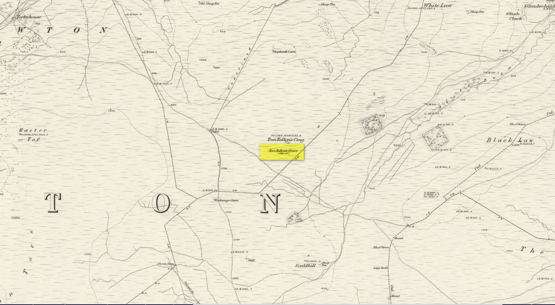
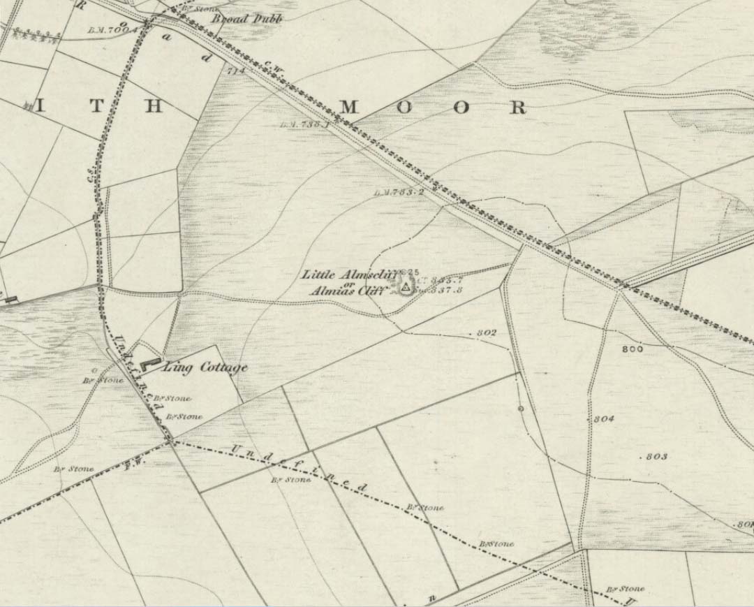
Highlighted on the earliest OS-maps about half a mile to the south of the great prehistoric camp of Yeavering Bell and 100 yards southwest of Tom Tallon’s Crag, there once stood an apparently “massive” Bronze Age tumulus, or cairn, called Tom Tallon. I’d hedge a bet that it was much older, from the neolithic period. It was described by P.A. Graham (1921) as “the largest cairn in the district,” but when it was visited by the antiquarian Henry MacLauchlan in July 1858, he reported that “it was being removed to make a fence”!!! Unbe-fuckin’-lievable… Who were the dickheads that did that?!
Folklore
The Ordnance Survey Name Book of 1860 for Tom Tallon’s Crag told that,
“There is a vague tradition about Tom Tallon having been a Warrior and Slain here – hence the name, but nothing authentic respecting Tom, can now be ascertained.”
The word tom derives from “a rounded hill”, sometimes associated with a tumulus and in Scotland (just over the border) associated “with a dwelling place of the fairies” with tallon suggested by Graham (1921) to derive from “tal, a forehead or promontory, and Llan, an enclosure.”
What is quite obviously an older name, or certainly one that was more recognised by local people, is its title of the Auld Wife’s Apronful of Stones: a title we find associated with a number of the giant cairns in northern England and Scotland. It relates to the creation myth of the site, whereby the countless stones that made up the cairn were dropped or thrown across the landscape by a giantess who inhabited this area.
References:
- Hall, James, A Guide to Glendale, M. Brand: Wooler 1887.
- Graham, P. Anderson, Highways and Byways in Northumbria, MacMillan: London 1921.
- MacLauchlan, Henry, “Notes on Camps in the Parishes of Branxton, Carham, Ford, Kirknewton and Wooller, in Northumberland,” in History Berwickshire Naturalists Club, volume 24, 1922.
© Paul Bennett, The Northern Antiquarian