Sacred Well: OS Grid Reference – NS 8135 9804
Also Known as:
- Canmore ID 47123
- Hielantman’s Well
- Highlandman’s Well
- Holy Well
Getting Here

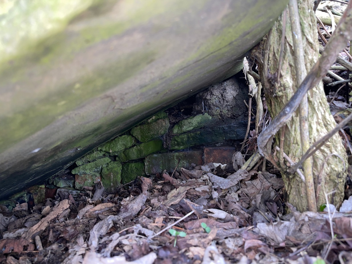
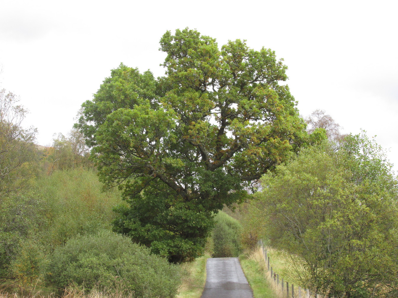
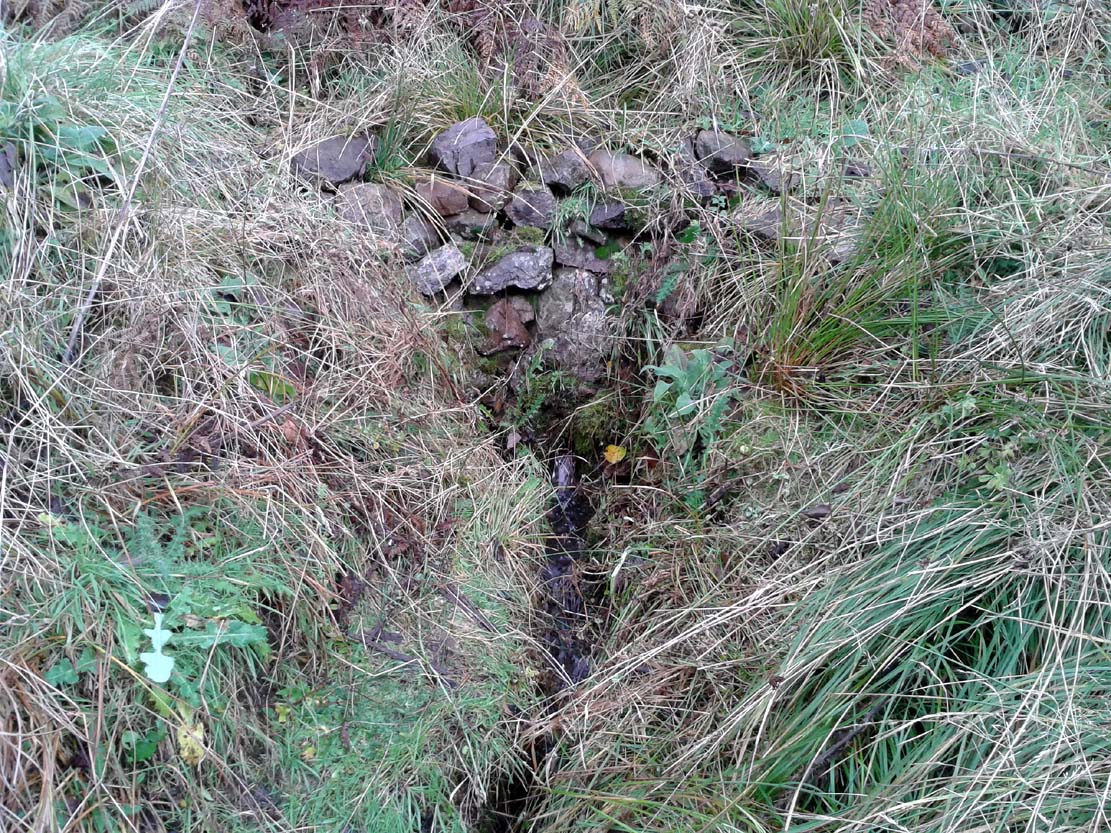
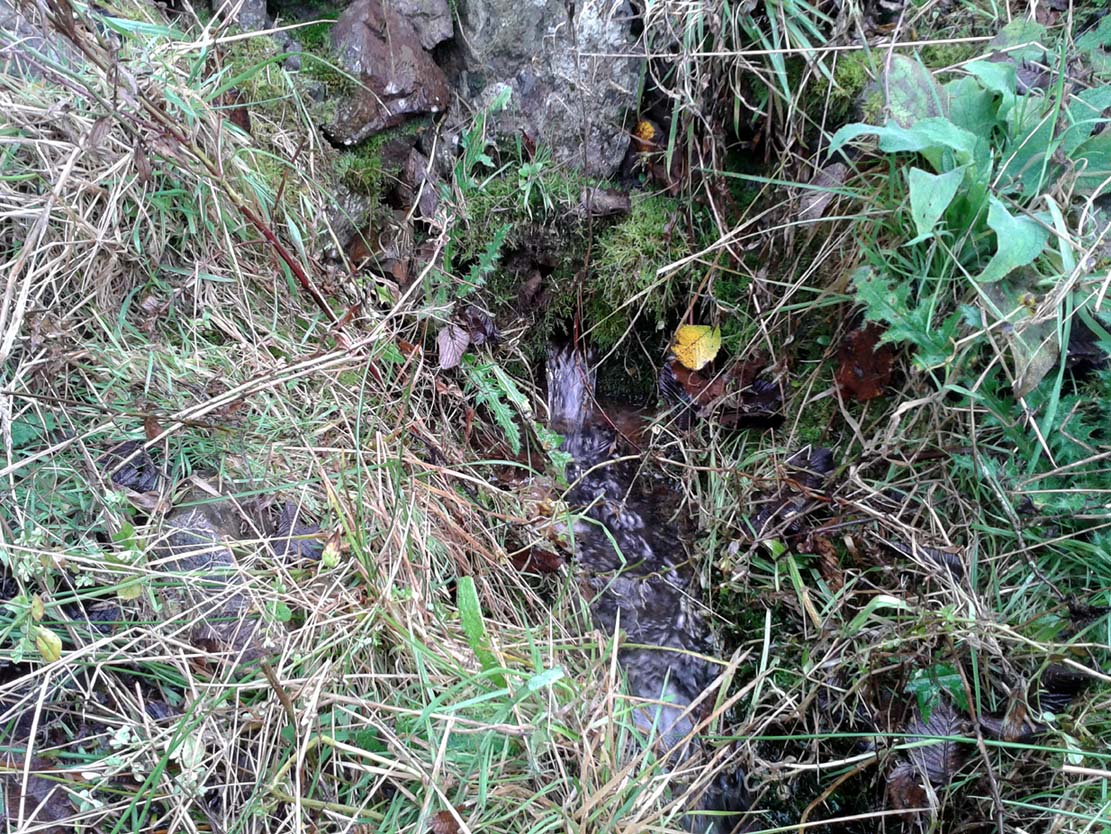
Fairy Well, emerging from wall
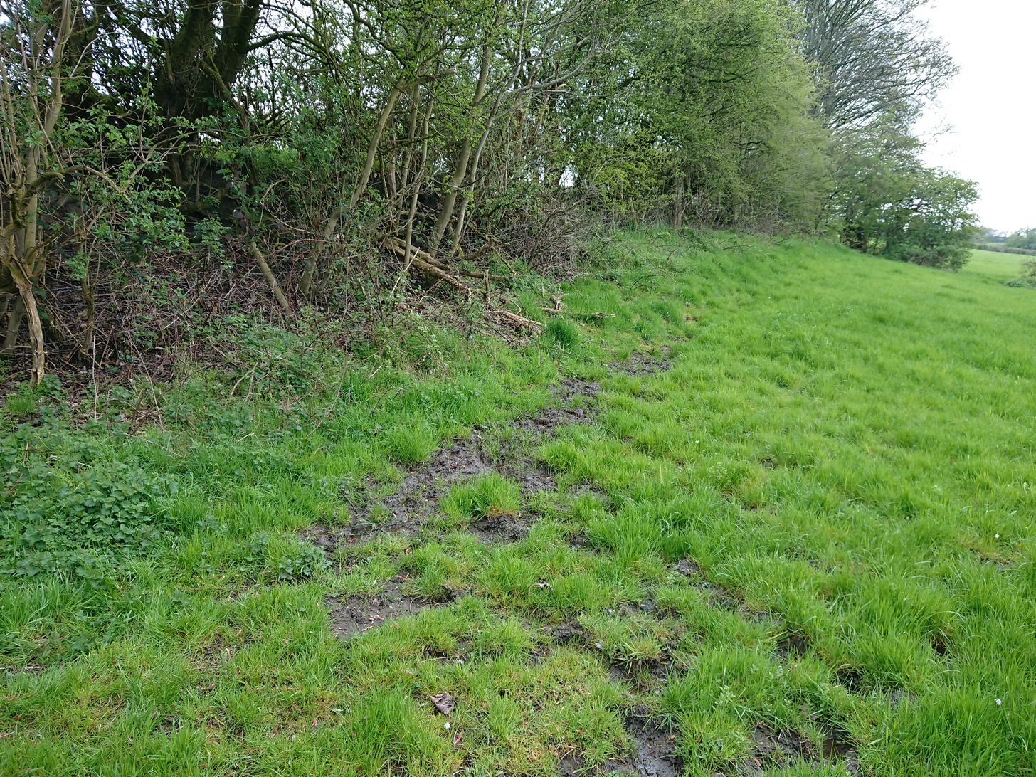
From Stirling, take the A9 to Bridge of Allan, turning right at the roundabout along the A907 for less than a mile, then turning left at the next roundabout up the A91. A half-mile down, at the small roundabout, bear left and first right, up to Logie Church. Keep going all the way up this steep winding road, turning right at the junction. Go along here for a quarter of a mile and park up at the roadside. Walk along a bit further where the road has a bittova sharp bend. The sound of the stream coming out of the small glen is obvious. Walk past this and, on the right-hand side of the road, past the stream, you’ll find a water source emerging from the boscage of an overgrown wall. Keep looking. It’s damn close!
Archaeology & History
In the 1792 Statistical Account of this northeastern edge of Stirling, moving into the ancient parish of Logie, we were given an early brief account of this all-but-forgotten sacred water source which, thankfully, still runs fine water to this day. It was described in tandem with the ancient Hill of the Picts called Dunmyatt, more than a mile to the east; but,
“About half-a-mile from the foot of this hill…is a very fine well, which issues from more than sixty springs, that rise through the sand and channel. It is called the Holy Well, and is said to have been much resorted to by the Roman Catholics.”

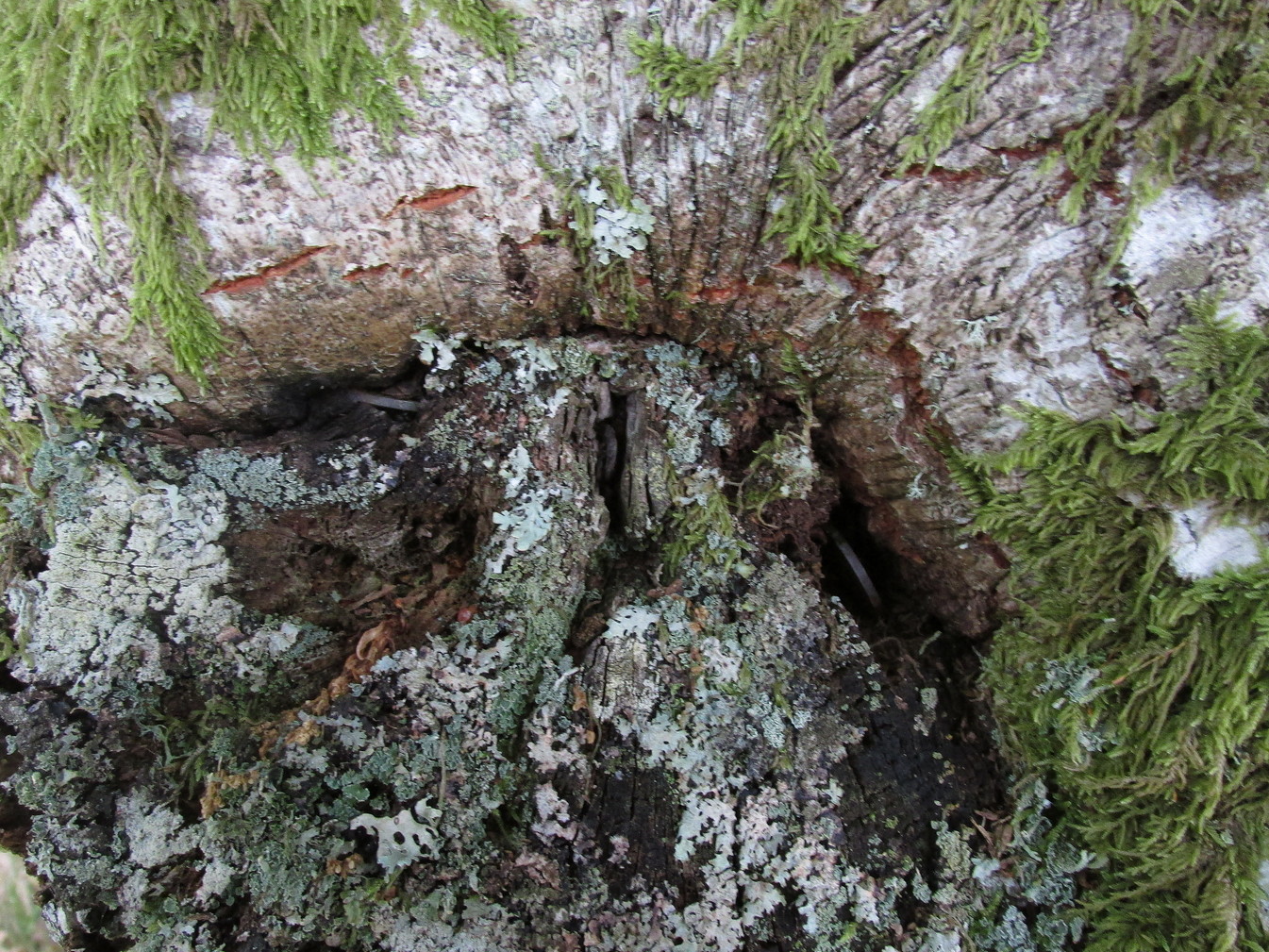
Close-up of the running waters
In R.M. Menzies (1905) magnum opus on the parish of Logie, he told that it “was popularly known as ‘the Heilantman’s Well’, a possible reminiscence of the ’15 where the battle of Sheriffmuir was fought nearby.” This tradition is echoed by several local historians; though Angus Watson (1995) wonders whether it’s ‘Highlandman’s Well’ name (and its variants) is “perhaps more likely to the use of the well by Highland drovers.” It’s in the perfect spot too!
When the Royal Commission (1963) lads visited the place in 1952, they described the well to have “been filled up.” Thankfully today, the old well emerges out of the overgrown remains of an old wall, the waters of which still run fast and free and into the larger stream ahead of it. The waters are fine and clear, and tasted cold and refreshing when I drank some a few days ago. It’s an excellent spot to quench the thirst after a day out in the Ochils.
Folklore
Of the various titles given to this old water source, the more popular choice in recent years has been to call it the Highlandman’s Well. However, local lore had always known it to be a place where the little people had acquaintance and it seems more vital to maintain its old folk-name. In R.M. Menzies (1912) rare work on the folklore of the region, he told us the story behind the name:
“Once upon a time, when people took life more leisurely, and when the wee folk frequented the glens and hills of Scotland, there was one little fairy whose duty it was to look after certain wells renowned for their curative properties. This fairy was called Blue Jacket, and his favourite haunt was the Fairy Well on the Sheriffmuir Road, where the water was so pure and cool that nobody could pass along without taking a drink of the magic spring. A draught of this water would have such a refreshing effect that the drinker could go on his journey without feeling either thirsty or hungry. Many travellers who had refreshed themselves at the Fairy Well would bless the good little man who kept guard over its purity, and proceed upon their way dreaming of pleasant things all the day long.
“One warm day in June, a Highland drover from the Braes of Rannoch came along with a drove of Highland cattle, which he was taking to Falkirk Tryst, and feeling tired and thirsty he stopped at the Fairy Well, took a good drink of its limpid water, and sat down beside it to rest, while his cattle browsed nearby. The heat was very overpowering, and he fell into a dreamy sleep.
“As he lay enjoying his noonday siesta, Blue Jacket stepped out from among the brackens and approaching the wearied drover, asked him whence he came. The drover said:
“‘I come from the Highland hills beside the Moor of Rannoch; but I have never seen such a wee man as you before. Wha’ may you be?’
“‘Oh,’ said the fairy, ‘I am Blue Jacket, one of the wee folk!’
“‘Ay, ay man, ye have got a blue jacket, right enough; but I’ve never met ony o’ your kind before. Do ye bide here?’
“‘Sometimes; but I am the guardian of the spring from which you have just been drinking.’
“‘Weel, a’ I can say is that it is grand water; there is no’ the likes o’t frae this to Rannoch.’
“‘What’s your name?’ asked the fairy.
“‘They ca’ me Sandy Sinclair, the Piper o’ Rannoch,’ was the reply.
“‘Have you got your pipes?’ asked Blue Jacket.
“‘Aye, my mannie, here they are. Wad ye like a tune? Ye see there’s no’ a piper like me in a’ Perthshire.’
“‘Play away then,’ said Blue Jacket.
“Sandy Sinclair took up his pipes and, blowing up the bag, played a merry Highland reel. When he finished, he was greatly surprised to see above the well a crowd of little folk, like Blue Jacket, dancing to the music he had been playing. As he stopped they clapped their little hands and exclaimed, ‘Well done Sandy! You’re the piper we need.’
“Thereupon Blue Jacket blew a silver whistle, which he took from his belt, and all the wee folk formed themselves into a double row. Blue Jacket then took the Highland piper by the hand, led him to the front of the procession, and told him to play a march. Sandy felt himself unable to resist the command of the fairy, and, putting the chanter into his mouth, blew his hardest and played his best, marching at the head of the long line of little people, who tripped along, keeping time to the strains of the bagpipes. Blue Jacket walked in front of the piper, leading the way in the direction of the Fairy Knowe.
“Sandy Sinclair never marched so proudly as he did that day, and the road, though fairly long, seemed to be no distance at all; the music of the pibroch fired his blood and made him feel as if he was leading his clansmen to battle. When the Fairy Knowe was reached, the wee folk formed themselves into a circle round the little hill, and sang a song the sweetest that ever fell upon the ears of the Highlandman. Blue Jacket once more took his whistle and, blowing three times upon it, held up his hand, and immediately the side of the knoll opened. Bidding the piper to play on, Blue Jacket led the procession into the interior; and when all were inside, the fairies formed themselves into sets, and the piper playing a strathspey, they began dancing with might and main.
“One dance succeeded another, and still Sandy played on, the wee folk tripping it as merrily as ever. All thoughts of Sandy’s drove had gone quite out of his head, and all he thought of now was how best to keep the fairies dancing: he had never seen such nimble dancers, and every motion was so graceful and becoming as made him play his very best to keep the fun going. Sandy Sinclair was in Fairyland, and every other consideration was forgotten.
“Meanwhile his cattle and sheep were following their own sweet will, the only guardian left to take care of them being his collie dog. This faithful animal kept watch as well as he could, and wondered what had become of his master. Towards evening another drover came along with his cattle for the same tryst. He knew the dog at once, and began to pet the animal, saying at the same time, ‘Where’s your master, Oscar? What’s become o’ Sandy?’
“All the dog would do was to wag his bushy tail, and look up with a pleading air, as if to say, ‘I don’t know; will you not find him?’
“‘My puir wee doggie, I wonder what’s come over Sandy? It’s no like him to leave his cattle stravaiging by the roadside. Ay ay man; and at the Fairy Well too! Indeed, this looks unco bad.’
“The newcomer, who was also a Highlander, made up his mind to spend the night with his own drove and that of Sandy Sinclair, thinking that the missing man would turn up in the morning. But when the morning came there was no sign of Sandy.
“Taking Sandy’s collie and leaving his own dog in charge of the combined droves, he said, ‘Find master, Oscar!’ The wise beast sniffed around for a little and then trotted off in the direction taken the day before by Sandy Sinclair and the fairies. By and by they reached the Fairy Knowe; but there was nobody there as far as the drover could see. The dog ran round and round the knoll, barking vigorously all the time, and looking up into the face of the drover as if to say, ‘This is where he is; this is where he is.’ The drover examined every bit of the Fairy Knowe, but there was no trace of Sandy Sinclair. As the drover sat upon the top of the Fairy Knowe, wondering what he should do next, he seemed to hear the sound of distant music. Telling the faithful dog to keep quiet, he listened attentively, and by-and-by made out the sound of the pibroch; but whether it was at a long distance or not, he could not be certain. In the meantime, the dog began to scrape at the side of the mound and whimper in a plaintive manner. Noticing this, the drover put his ear to the ground and listened. There could be no mistake this time: the music of the pibroch came from the centre of the Fairy Knowe.
“‘Bless my soul!’ exclaimed Sandy’s friend. ‘He’s been enticed by the fairies to pipe at their dances. We’ll ne’er see Sandy Sinclair again.’
“It was as true as he said. The Piper of Rannoch never returned to the friends he knew, and the lads and lasses had to get another piper to play their dance music when they wished to spend a happy evening by the shore of the loch. Long, long afterwards, the passers-by often heard the sound of pipe music, muffled and far away, coming from the Fairy Knowe; but the hidden piper was never seen. When long absent friends returned to Rannoch and enquired about Sandy Sinclair, they were told that he had gone to be piper to the wee folk and had never come home again.”
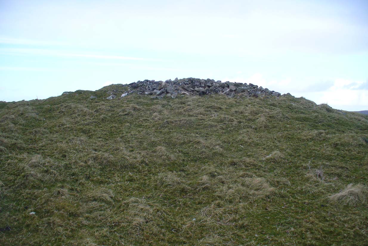
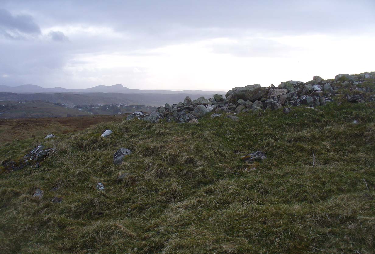
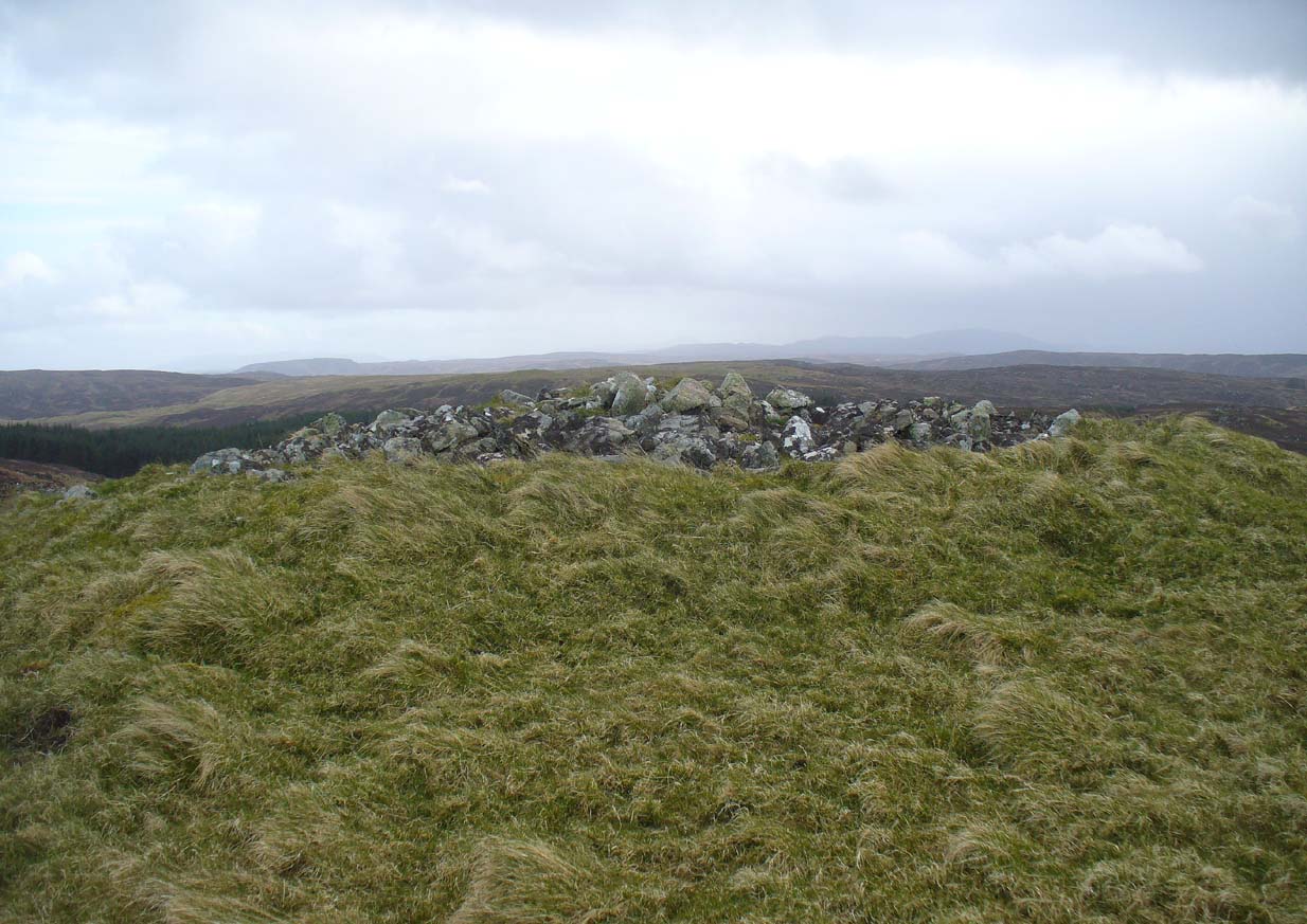
The Fairy Knowe is the large prehistoric burial mound, neolithic in origin, found 1.08 miles (1.74km) west of the Fairy Well, above Bridge of Allan—and an absolute must to visit for any lovers of fairy lore!
References:
- Fergusson, R. Menzies, Logie: A Parish History – volume 1, Alexander Gardner: Paisley 1905.
- Fergusson, R. Menzies, The Ochil Fairy Tales, David Nutt: London 1912.
- Royal Commission on the Ancient & Historical Monuments Scotland, Stirling – volume 2, HMSO: Edinburgh 1963.
- Watson, Angus, The Ochils – Placenames, History, Tradition, Perth & Kinross District Libraries 1995.
© Paul Bennett, The Northern Antiquarian