St. George’s Well, Harrogate, North Yorkshire

Holy Well (destroyed):  OS Grid Reference – SE 2997 5561

Also Known as:

  1. St. George’s Spa

Archaeology & History

About 50 yards away from the Royal Promenade on the east-side of Parliament Street, there used to the flowing water of this old holy well, later becoming one more of Harrogate’s spa wells.  It was first recognized as a medicinal spring about 1792 when Thomas Garnett (1794) uncovered it beneath the overgrowth of vegetation surrounding the spring-head.  In doing so, it became evident that at some time in the past it had been used by local people as,

“a wall was discovered round the spring, but whether this had been built with an idea of its being a medicinal water, or with an intention of collecting water for cattle, I cannot determine.”

Chalybeate (iron-bearing) in nature, the waters were analyzed by Adam Hunter (1830) in the 1820s and, although possessed of soluble iron, had less than its medicinal compatriots nearby, meaning that its fortifying qualities weren’t quite as good. He told us how,

“it had been known (by locals) for many years, but at no time much used internally; it had acquired some celebrity however as a wash for sore eyes, for which purpose it was well adapted.  As chalybeate water has long been a favourite popular remedy for a wash in various weaknesses, and chronic affections of the eyes, it is proper to state that (the nearby) John’s Well, the Tewit Spa, or the succeeding one at Starbeck, are the only three chalybeates which can at present be recommended for that purpose.”

A few years after Hunter had been here, the well was destroyed “by the making of a highway drain.” Jennings 1981)

Folklore

St George (saint’s day – April 23) was one of the christian dragon-killers.  There is no known tradition of the saint or festivities that may once have occured here.

References:

  1. Garnett, Thomas, A Treatise on the Mineral Waters of Harrogate, Thomas Gill: Leeds 1794.
  2. Hunter, Adam, The Waters of Harrogate and its Vicinity, Langdale: Harrogate 1830.
  3. Jennings, Bernard, A History of the Wells and Springs of Harrogate, Interprint: Harrogate 1981.

© Paul BennettThe Northern Antiquarian

St. Ann’s Well, Harrogate, North Yorkshire

Holy Well (lost):  OS Grid Reference – SE 298 548

Archaeology & History

Very little is now known about this sacred site that was once found “a few hundred yards east from the New Church at Low Harrogate.” (Hunter 1830)  Even most of travellers and medical experts who wrote about the numerous Harrogate wells in the 18th and 19th century bypassed its quietude; and by the time Mr Hunter wrote about it in his great descriptive catalogue, its healing or medicinal qualities had been forgotten.

He told that “the spirit in the water…or that with which it is infused, has long been most actively engaged in adding real or fancied comforts to the (Harrogate) Fair, and is now in much more general use” than the two other holy wells in the town. It was, he said, “the best water for making tea and more extensively used for that purpose than any in the neighborhood of Harrogate.”  It would also appear to have been built over at some time in the not-too-distant past…

Folklore

St Ann (saint’s day – July 26) was a giant in early christian and Islamic myths.  An apocryphal figure, She was the Great Mother of the mother of Christ—the Virgin Mary—and was Herself a Virgin until, in Her old age, after seeing a bird feeding a chick, decided She wanted a child and so eventually gave birth to Mary.  An old woman giving birth when the Springtime appears (when birds and other animals become fertile) is the same motif found in the lore of the Cailleach in Ireland and Scotland (and parts of northern England).  Pre-christian lore at this old well would seem evident here.

References:

  1. Hunter, Adam, The Waters of Harrogate and its Vicinity, Langdale: Harrogate 1830.

© Paul BennettThe Northern Antiquarian

Holy Well, Hildenley, North Yorkshire

Holy Well:  OS Grid Reference – SE 7408 7106

Archaeology & History

Found to the southwest edge of Hildenley Wood, on the west side of the track between Malton and Coneythorpe Road, the waters from the initial source of the well runs into a small well-house, and from here Nature’s blood runs into a small pool.  The first reference I’ve found of the place is in T. Whellan’s (1859) huge survey, where he said,

“There is on the verge of Easthorpe Wood a copious and pure spring of water known by the name of Holy Well, which tradition affirms to have been much resorted to by the monks of Kirkham Abbey…and even to this day healing virtues are attributed to it.”

In Whelan & Taylor’s (1989) survey of the site, they noted the existence of another well a short distance away, but did “not know of any sacred associations connected with this site, but its proximity to the Holy Well may suggest the recognition of this area as a sacred spot.”

References:

  1. Whelan, Edna & Taylor, Ian, Yorkshire Holy Wells & Sacred Springs, Northern Lights: Pocklington 1989.
  2. Whellan, T., History and Topography of the City of York – volume 2, Whellan & Co: Beverley 1857.

© Paul Bennett, The Northern Antiquarian

Old Wife’s Spring, Snaizeholme, North Yorkshire

Sacred Well:  OS Grid Reference – SD 8344 8474

Getting Here

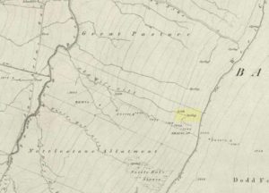
The ‘Spring’ atop of Old Wifes Gill, on 1853 OS-map

From Hawes, take the B6255 road west-ish to Ribblehead, but only for 1km, where there’s the Cam Road track on your left.  Walk on here, and keep going till you’re looking down the valley past the very last house (those of you who wanna take the Pennine Way from Hawes will end up in the same place).  It’s one of the springs down the steep slope on your right! (check the attached link to the OS-map to work out which one you’re heading for)

Archaeology & History

Apart from a singular mention in place-name records, I have found no historical information (yet!) about this old water supply.  It was one of the great sites of the cailleach in our Yorkshire hills: a truly ancient and heathen place, all but forgotten and lost in the mythic landscape of our past.  And it’s a bittova dodgy spot getting right up to her down the rather steep hilly slope — but it’s truly well worth the trek!

The Old Wife's Spring, Snaizeholme
The Old Wife’s Spring

When I first visited this place, we took off from Cam Fell’s western side and ambled up the tops until the land gave us the beauty of Snaizeholme valley, which had us stopping, dreaming and wanting more as we sought to find this forgotten well. Most of you would probably come from the easier side of Hawes and walk along the path on the southern-side of the valley, or p’raps even wander up Snaizeholme valley itself – but I’d recommend a walk along the tops. Tis much much better!

If you’ve got the 1:25,000-scale OS-map, you’ll see the ‘Old Wife’s Gill’ running down the hillside. Get over the wall by the track-side and stagger down the steep slope. You’ll pass a small spring about 70 yards down – but this aint the one (though I think originally the Old Wife came from much further up Dodd Fell itself). You’ve got another 75 yards to go down before you get to the main spring – but if you’re old and fragile, unfit or fat, you’ll struggle like hell here!

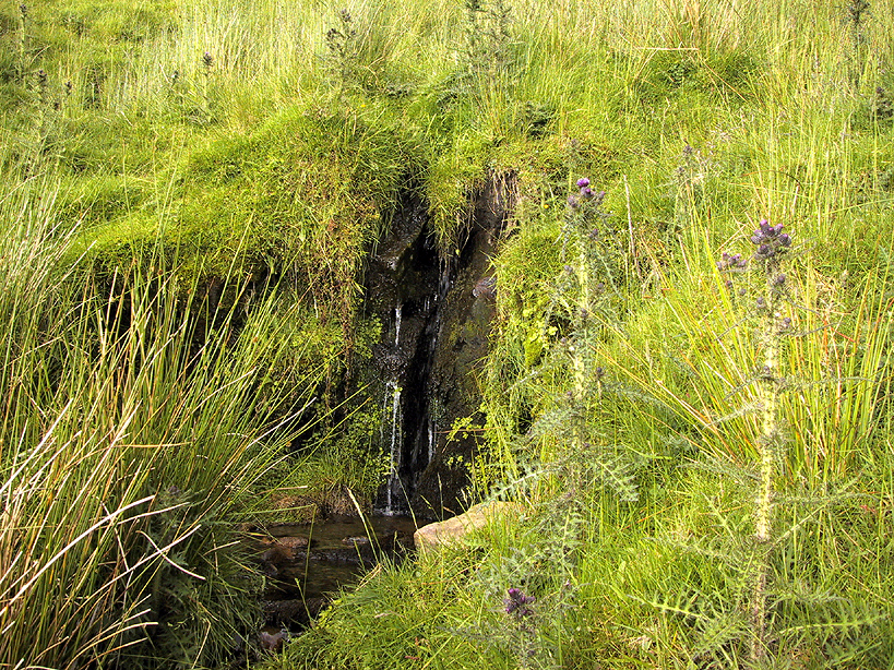
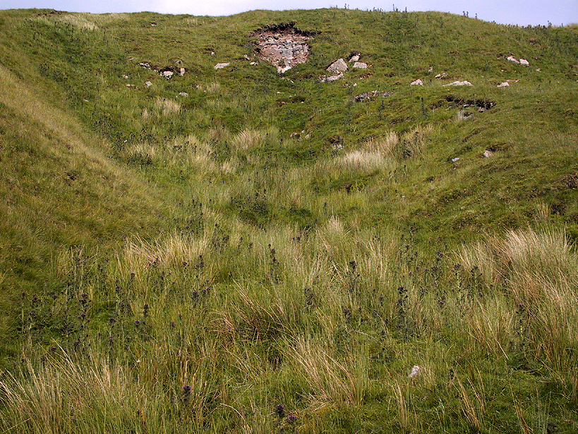
The waters emerge from this very steep slope, surrounded by plenty of thorns and thistles, on a part of the hill where the land itself is slowly coming away. After a long dry-spell no doubt, this might be a little more secure; but when we came here She’d been raining on-and-off like hell and the waters were a-plenty. It’s difficult to actually locate the exact spot where the water first appears – but like I said, it seems to have, long ago, come from much further up the hill. As the photos show, the water’s nice n’ clear, good-tasting, and then continues along its downward stream – known as the Old Wife’s Gill – until hitting the small river at the valley bottom.

The Old Wife's Spring from below...
The Old Wife’s Spring from below

The other site in this valley which assures us of the cailleach’s validity comes from the place-name a few hundred yards further up the valley, seemingly giving source to the valley river herself: a Lady Spring or well, whose form once emerged close to the gate of the Cold Well close by. The third part of the cailleach’s form – the maiden or virginal – has been lost as far as local myth and literary records go.  But I’ve gotta come here a few more times to get an idea as to where this ‘lost’ water-source originally appeared. A number of streams run off the hills here into the curiously-named Snaizeholme valley (which etymologists assign to nowt more than a “place where twigs are” – which seems nonsensical), and as there’s been very little by way of human habitation screwing the land up, there’s a damn good chance we’ll find and recover the mythic history of the landscape here after a few more treks and dreams…

Other sites of similar mythic relevance which need checking include Carlow Hill (SD 770 858)at Stonehouse, Dentdale; and the great valley of Carlin Gill on the North Yorkshire/Cumbria border (SD 634 993 – Gambles 1995:39).

© Paul Bennett, The Northern Antiquarian