Longbarrow Field, Timble, North Yorkshire

Cairn (lost):  OS Grid Reference — SE 18 53

Archaeology & History

Described in the Field Lore of Timble village by William Grainge (1895) are the names and short histories of some of the local place-names—with this in particular standing out like a veritable sore thumb!  Quite plainly, as Grainge told us,

“The name ‘Longbarrows’ is indicative of some burial mounds of a very early day.  None exist at present.  The land is under the plough, and is about the best in the township.”

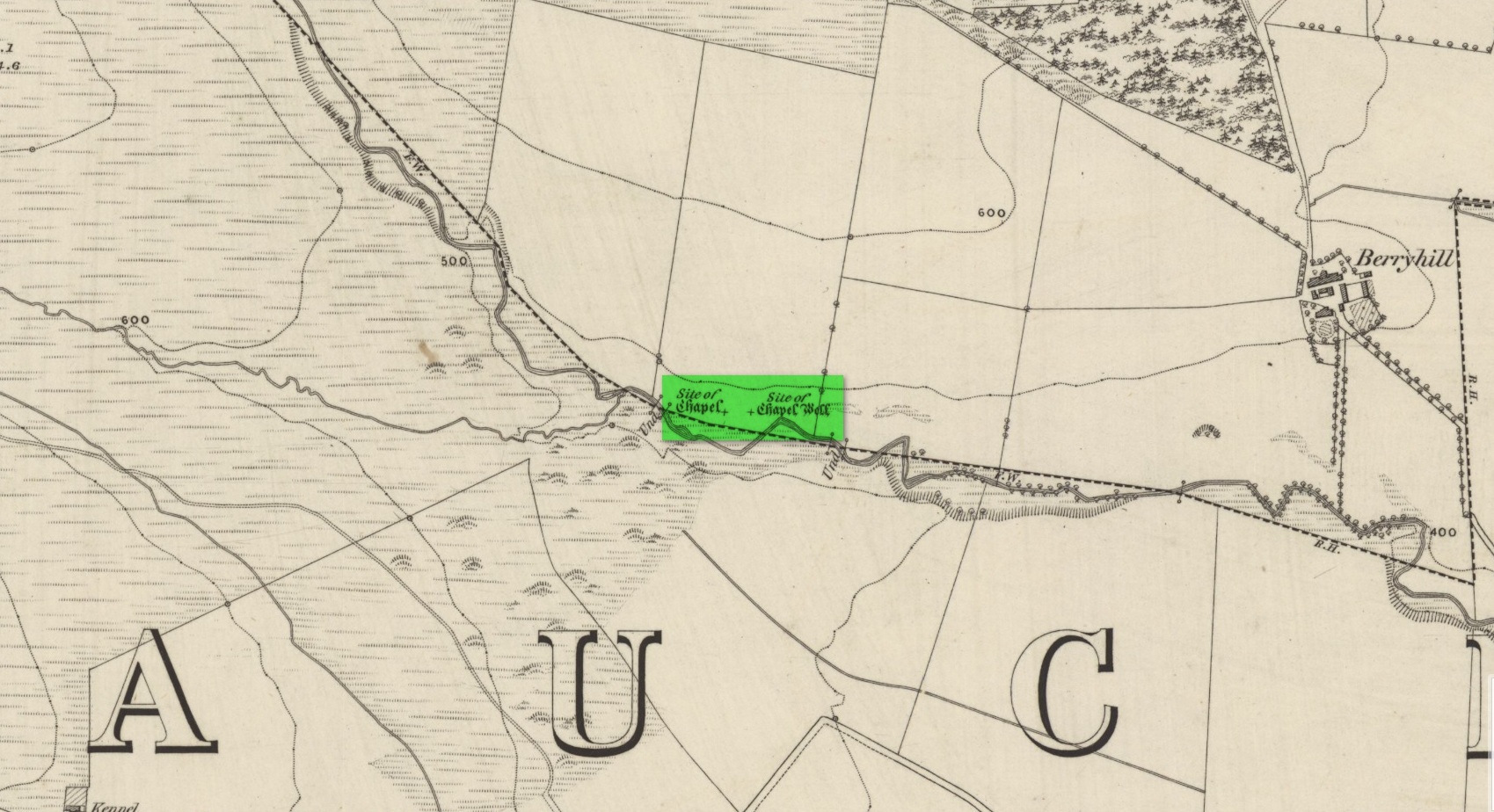
But I cannot locate the position of this long-lost site and it’s not shown on any of the early OS-maps hereby.  Grainge said that the land on which it once stood was owned by a local farmer called Charles Dickinson, who leased it out to others.  He wrote:

“Dickinson had in Longbarrows 3 roods* and 23 perches*, and William Jackson’s share in Longbarrows was 1 acre, 3 roods and 21 perches.  Besides these, John Ward of Nether Timble had 1 rood and 17 perches int he same field, a long narrow slip without fence, between Dickinson’s and Jackson’s lots.”

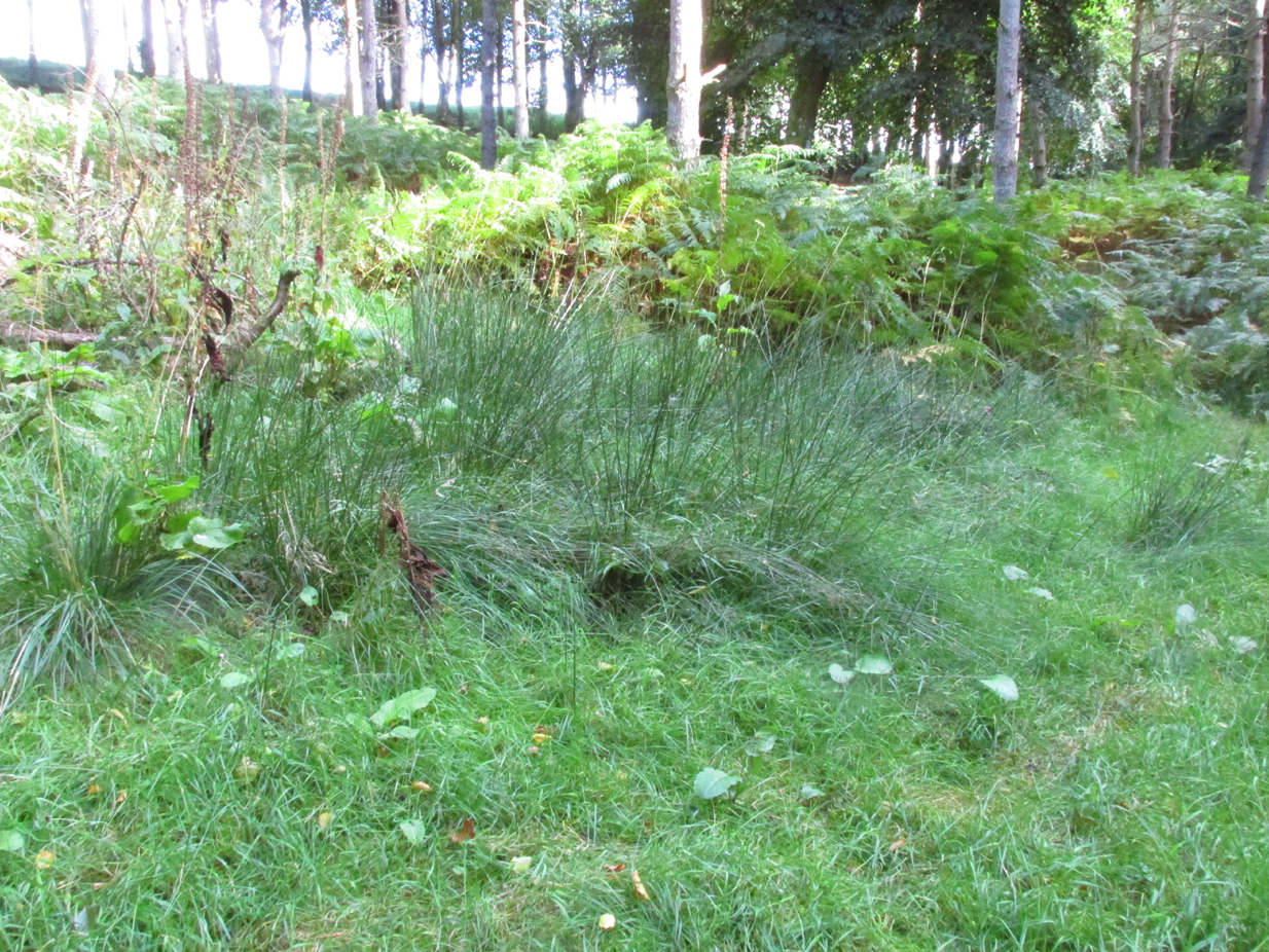
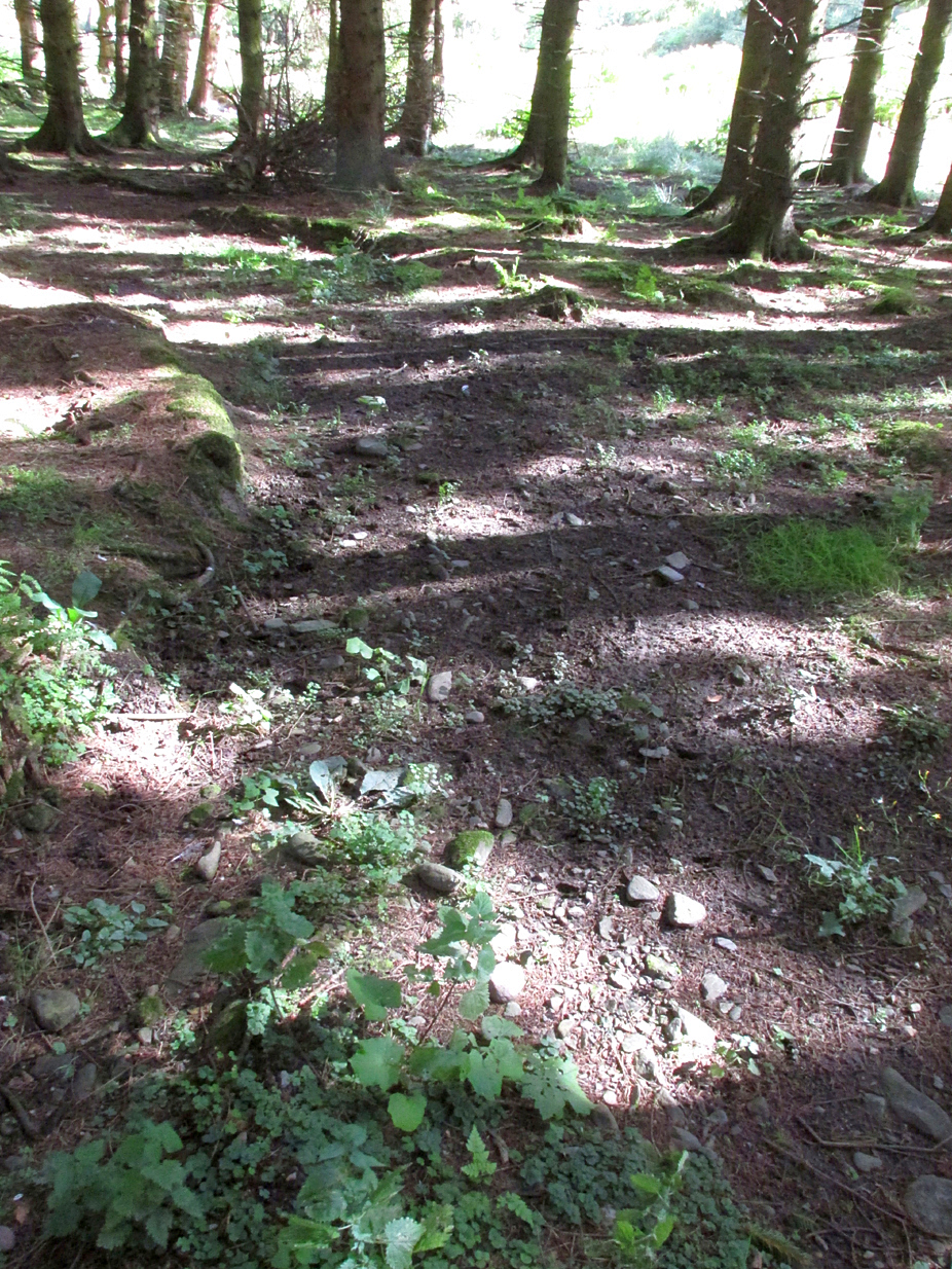
Does anyone know where this was?  One of my suspects is the gathering place of the Fewston witches, a half-mile south of the village; but no remains of anything can be found there today and I may just be barking up the wrong tree.

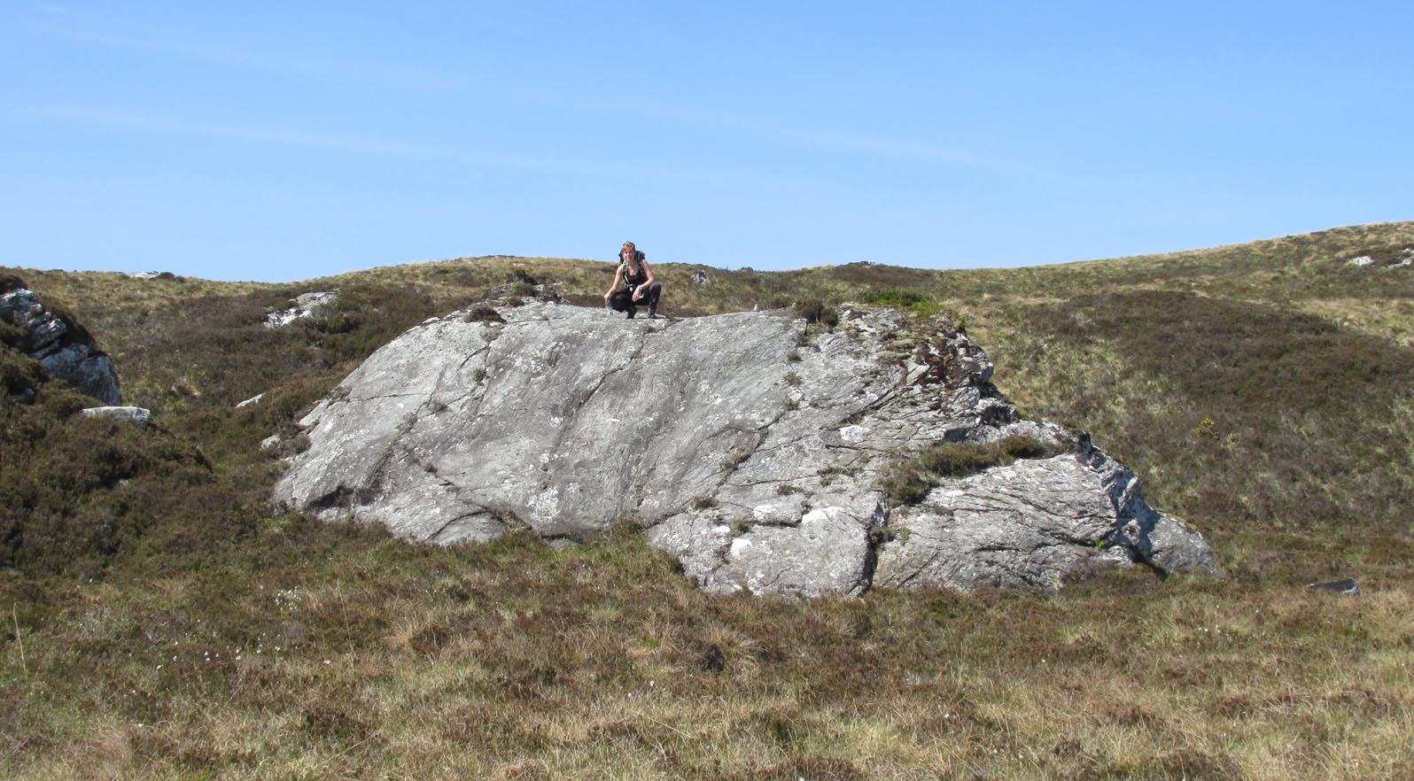
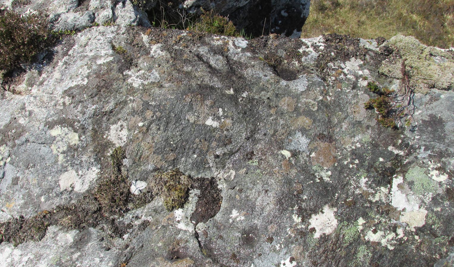
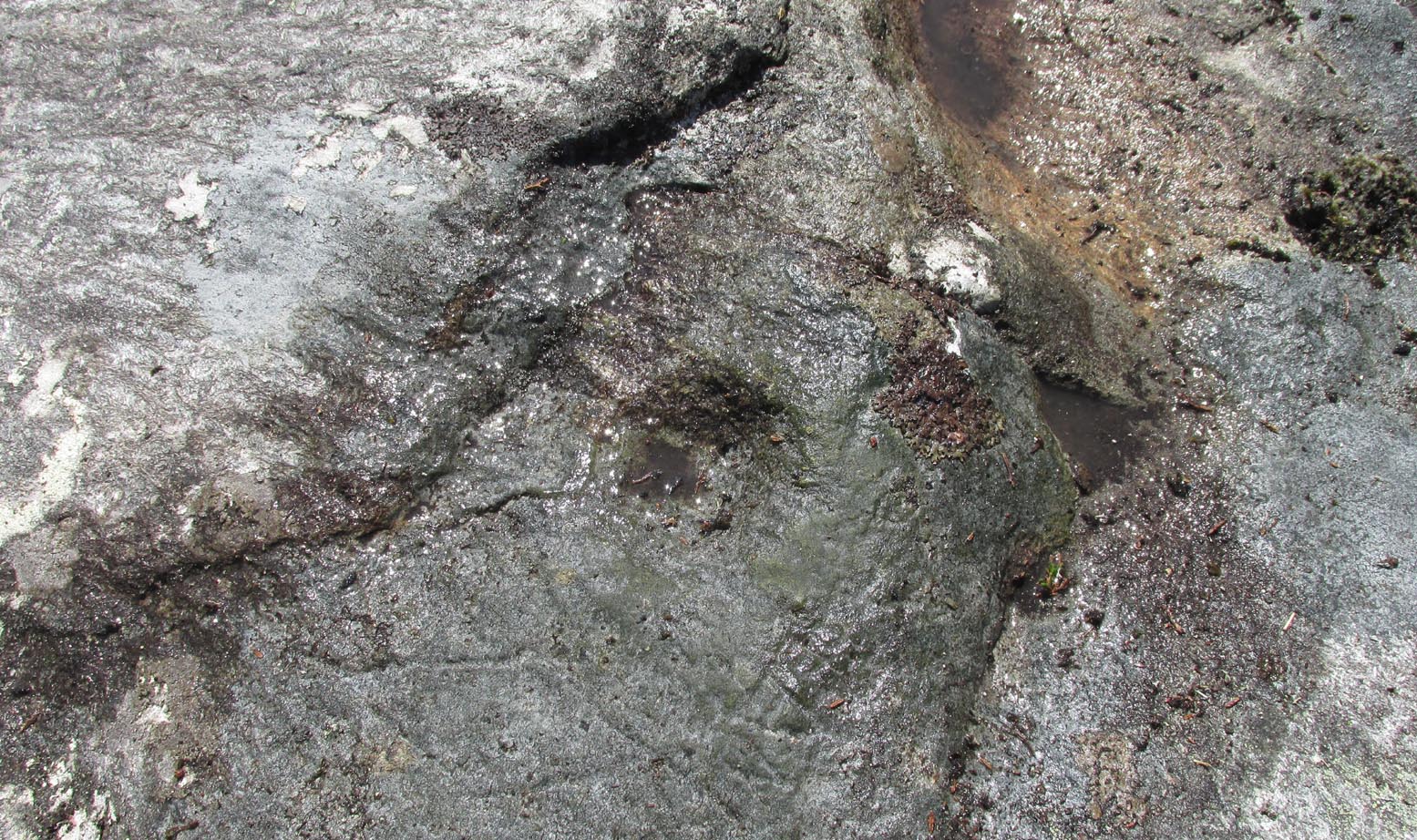
The area south and west of here is rich in little-known prehistoric heritage, from the cairn-fields of Askwith Moor, the cairn circle at Snowden Crags, the settlements of Snowden Carr and the extensive petroglyphs all over the place!  Giants cairns of the early Bronze Age and neolithic period were also once more numerous upon the moors to the west and south, so the former existence of a long barrow in Timble wouldn’t necessarily be too unusual.  But where was it?!

References:

  1. Grainge, William, The History and Topography of the Townships of Little Timble, Great Timble and the Hamlet of Snowden, William Walker: Otley 1895.

*  A rood is an English unit of area, equal to a quarter of an acre or 10,890 square feet; a perch was a more variable unit of measure, being lengths of 1612, 18, 21, 24 and 25 square feet.

© Paul BennettThe Northern Antiquarian 

Stone Rings, Pannal, North Yorkshire

Stone Circle (destroyed):  OS Grid Reference – SE 308 527

Archaeology & History 

‘Stone Rings’ place-names on the 1910 OS-map

The plurality of the place-name implies that there was more than one circle, but we don’t that know for sure either!  But if there was more than one, it is more likely they were cairn circles than traditional free-standing stones circles.  But once again, we simply don’t know….No remains exist of the “stone rings”—or rings of stone—that once stood here in bygone centuries.  The only remains left are in the place-names of the stream and roads hereby, highlighted on several of the early OS-maps: Stone Rings Lane, Stone Rings Beck and the Stone Rings Quarry—the latter of which is probably the reason why there is nothing to be seen here anymore. But we don’t know for sure.

The grid-reference given here is an approximation.

References:

  1. Smith, A.H., The Place-Names of the West Riding of Yorkshire – volume 5, Cambridge University Press 1961.

© Paul BennettThe Northern Antiquarian


Sarah’s Stone, Borgie, Tongue, Sutherland

Cup-Marked Stone: OS Grid Reference – NC 66791 60343

Getting Here

Sarah, on top of her stone!

There’s no simple way to reach here – but the landscape alone makes the journey worthwhile.  Roughly halfway along the A836 between Bettyhill and Tongue, take the minor road up to Borgie, past the recently revamped Borgie Hotel for half-a-mile (0.8 km) where, on your left, is Deepburn Cottage.  On the other side of the road, on your left, go through the gate and follow the path uphill. It curves up and to the right where you hit some overgrown walling.  Walk up and along this wall for nearly half-a-mile (it’ll feel like twice that!) and as you approach the crystal blue waters of Lochan a’ Chaorruin, veer right and start walking up the small Torrisdale Burn.  Less than 200 yards along, you’ll see the large isolated rock on your left.

Archaeology & History

Cupmarks top & bottom
Single prominent cupmark

Previously unrecorded, this large boulder sitting above the edge of Torrisdale Burn was rediscovered by Sarah MacLean—hence its name—and has between five and nine cup-marks etched, primarily, on the topmost ridge of the rock.  Its eastern steep-sloping face also has a cup-mark near the middle top-half of the stone.  Apart from three of them (visible in the photos), the other cups aren’t very distinct and unless the lighting is right, you won’t see much here.  This one is probably gonna be of little interest unless you’re a real hardcore petroglyph freak.

Further up this tiny winding glen we reach the faint cup-marked Thorrisdail Stone and a little further on is the impressive ritual site of Allt Thorrisdail.

© Paul BennettThe Northern Antiquarian


Castleton (2b), Cowie, Stirlingshire

Cup-and-Ring Stone:  OS Grid Reference – NS 85520 88214

Getting Here

Castleton (2) carving

If you’re coming via Castleton Farm, at the back of the farm go through the gate on the right, by the corner of the field and walk along the line of the wall for 200 yards  northwest until you approach the small copse of trees ahead of you.  Just before the trees, instead, walk up the slope, SW, to the other small copse, and about 15 yards along the line of trees, go into them.  Keep your eyes peeled on the upwards sloping ground where a gap in the greenery shows you the stone in question!

Archaeology & History

This is an odd one.  Amidst the array of truly ancient and well-eroded multiple cup-and-ring stones in the incredible Castleton complex, this small design on the northeast slope away from the main cluster, has a distinctly different appearance about it when we compare it to the others along the ridge.  It’s not been done by the same person or people who carved the more ornate designs close by.  Indeed, it seems that it wasn’t even done at the same period but has a history that is much more recent.

The carving, as you can see in the photos, has a somewhat scruffy look about it when compared to the more usual designs.  If it’s prehistoric, it has the hallmarks of being done by someone with rock art dyslexia!  My own view is that it’s a pretty recent carving. It’s possible, perhaps, that it may have been executed by a medieval christian priest who lived a short distance to the east and whose cross markings are evident on at least one of the other cup-and-rings hereby.  But the carving might be even more recent: perhaps 19th Century in origin.  It just doesn’t have that air of authenticity about it, as any seasoned petroglyph officionado would tell you.  And we have to bear in mind that this was the site of a quarry in the 18th and 19th century, so the carving might have been done at that time by one of the workers to mimic the very ancient and faded designs close by.  Anyhow…

The design consists of two distinct and deeply carved rings around a central raised point, in which it looks as if someone started to create a cup-mark, but never finished the job!  The same can be said of an third outer-ring, whose faint outline is clearly visible in decent light, but which was started but never finished.  Make of it what you will.  When we first found this carving in 2019, someone had been up and already peeled back the turf (“there were a group o’ folk,” the farmer told me), thankfully showing the carving in its crude glory.  The Canmore website informs us that the stone was first unfurled by George Currie in 2006, who said that it was little more than “a ring surrounded by a central boss”—but there’s clearly more to it than that and I wonder if this is actually the same carving that Mr Currie found.

Note: The name of this and the other carvings in the Castleton complex need completely re-designating into an accurate order, as they’ve been defined and redefined by various authors and groups over the years, leaving them in a disorganized haphazard mess.

© Paul BennettThe Northern Antiquarian

Maen Sigl, Llandudno, Caernarvonshire

Legendary Stone:  OS Grid Reference – SH 7792 8297

Also Known as: 

  1. Rocking Stone
  2. St. Rudno’s Stone

Archaeology & History

Maen Sigl on 1901 OS-map

Highlighted on the 1901 OS-map of the area, this old rocking stone was located on the heights of Pen y Filas above Llandudno.  Originally a site of heathen worship—the druids, it is said—the site was later patronised by the Irish saint, Tudno: a hermit who lived in a cave (Ogof Llech) a mile to the northwest, on the heights of the legend-filled Great Orme.

Rocking stones are well-known as geo-oracular forms (stone oracles) in folklore texts across the country, although they’re almost entirely rejected by historians as little more than ‘curiousities’ and meaningless geological formations.  In olde cultures elsewhere in the world however, stones like this were always held in reverence by traditional people – much as they would have done in Wales and elsewhere in Britain.

References:

  1. Hughes, Arthur R., The Great Orme: Its History and Traditions, R.E. Jones: Conway n.d. (c. 1950)
  2. Jones, H. Clayton, “Welsh Place-Names in Llandudno and District” in Mountain Skylines and Place-Names in Llandudno and District, Modern Etchings: Llandudno n.d. (c.1950)

© Paul BennettThe Northern Antiquarian


Ffynnon Rufeinig, Llandudno, Caernarvonshire

Healing Well:  OS Grid Reference – SH 76551 83858

Also Known as: 

  1. Ffynnon Llety Fadoc
  2. Roman Well

Archaeology & History

Ffynnon Rufeinig, 1901 OS-map

To be found on the legend-filled landscape known as the ‘Great Orme’, this ancient well was highlighted on the 1901 OS-map of the region, on the south side of the track.  Sadly,  despite an occasional puddle that fills the old trough when She rains, its waters are no longer running.  H.C. Jones (n.d.) informed us that this was a ‘Roman Well’, which tradition said was a place they used when they invaded this part of Wales, although Paul Davies (2003) thought this “to be wishful thinking”.

Despite this, in recent years the walling around the well has been rebuilt by the track-side and a stone plaque with the words ‘Roman Well’ has been mounted to tell you that you’re at the right place.

References:

  1. Davies, Paul, Sacred Springs, Blorenge: Llanfoist 2003.
  2. Jones, H. Clayton, “Welsh Place-Names in Llandudno and District” in Mountain Skylines and Place-Names in Llandudno and District, Modern Etchings: Llandudno n.d. (c.1950)

© Paul BennettThe Northern Antiquarian


Cunnel Fold Well, Marsett, Bainbridge, North Yorkshire

Healing Well:  OS Grid Reference – SD 88727 85543

Archaeology & History

Cunnel Fold Well on 1856 map

Found high on the moors several miles south of Hawes, this is a small almost insignificant water source that I sat with, drinking in both the landscape and the waters many moons ago in a daydreaming amble.  It’s history is only remembered in the name it was given, no doubt by some local to the Ordnance Survey lads in their own, albeit more focussed assessment on these hills.  Its name puzzled me for a long while and I wondered if some untold story lay behind it.  Sadly that doesn’t appear to be the case.  Although there are doubtless many tales that could be told of the people who, through the centuries, have sat and drank the waters here, we know none.

Its name very probably derives from the misapprehended dialect word ‘cannel’ which, as Mr Wright (1898) explains, is simply “a ditch…gutter, watercourse,” which seems appropriate here.  Of the place-names shown on the 1856 OS-map, it seems the most likely solution to the word.

As for a place to sit and have a drink, it’s very refreshing after the rains have fallen.  All too often nowadays, as with many of the old hilltop watercourses, their life-blood is falling back to Earth…

References:

  1. Wright, Thomas (ed.), English Dialect Dictionary – volume 1, Henry Frowde: London 1898.

© Paul BennettThe Northern Antiquarian


Boskenna Cross, St Buryan, Cornwall

Wayside Cross:  OS Grid Reference – SW 42579 24266

Also Known as:

  1. Historic England Grade II Listed Building No. 1007955

Boskenna Cross on 1887 map

Getting Here

Travelling along the B3315 from Penzance to Lands End, the Cross is on the south side of the road at the junction with the minor road to St Buryan, past the Merry Maidens stone circle.

Archaeology & History

Arthur Langdon (1896), in his magnum opus on Cornish Crosses, describes this wheel-headed wayside cross:

Sketch from Langdon’s 1896 book

The only ancient part of the monument is the little cross at the top, which is mounted on a base made up of an extraordinary collection of apparently disused circular granite stones. Immediately beneath the cross is a cylindrical piece, the upper edge of which is roughly rounded off. Beneath this comes a short drum, about two inches wider than the piece above and nine inches deep. The next two stones are much wider but not so deep as the last, the bottom one consisting of the lower portion of an old cider-press, with its surrounding channel and lip !

Its roadside position.

There is a good deal to admire in the feeling which prompted this effort to once and for all preserve so ancient a relic, and the care bestowed in the erection of this curious substructure goes far to remove its incongruity.

Front — The figure of our Lord here sculptured is quite the best example in which He is represented wearing the tunic; the expanded sleeves are especially apparent, as well as the outline of the garment above the knees. The feet are very large, and turn outwards at right angles.

The Crucifixion face

Back — On the head is a cross with expanded limbs, flush with the surface of the stone. The four triangular sinkings, or recesses, which form the background are not of uniform size, the lower being considerably larger than those above, thus making the lower limb the longest. The inner portion of each sinking is raised, forming bosses in low relief.

Dimensions — Total height of the monument, 6 ft. 10 in; height of the cross, 2 ft. 4 in; width of head, 1 ft. 8 in; width of shaft, 12½ in.

The cross has had a chequered history. It is not known when it was demolished.  Langdon, once more, takes up the story:

The opposite face.

Mr. J. H. Johns, landlord of the “King’s Arms”, St. Buryan, informed me of the circumstances connected with the discovery of this cross. It appears that formerly one of the angles at the intersection of these roads was so sharp and awkward for traffic that, in 1869, the local authorities decided to ease this corner by rounding off the hedge, which was then about ten feet thick. Mr. Johns’ father was one of the men employed on this work, and shortly after commencing he found the cross buried in the hedge. By the advice of His Honour Charles Dacres Bevan, County Court Judge of Cornwall, and then residing at Boskenna Mansion House, the cross was erected on the triangular piece of grass in the middle of the roads, a spot on which it is extremely likely it originally stood.

Side view from the east.

In 1941 and 1942, the Cross was demolished by road vehicles, whereupon the council removed it to its present roadside position. It was again hit by a vehicle in 1992. And in 2002 there was another incident, reported by Meyn Mamvro:

..In February the top of the cross was found lying by the roadside. It is not known whether this was the result of deliberate vandalism or a road traffic accident, but local village witch Cassandra Latham acted quickly in alerting Cornwall Archaeological Unit, who took it away for repair and restoration…

References:

  1. Langdon, Arthur G., Old Cornish Crosses, Truro, Joseph Pollard, 1896.
  2. Langdon, Andrew, Stone Crosses in West Penwith, The Federation of Old Cornwall Societies, 1997.
  3. Meyn Mamvro, No 49, Autumn 2002, p. 4

© Paul T. Hornby 2018


Lady Well, Tibbermore, Perthshire

Holy Well (destroyed):  OS Grid Reference – NO 05190 23479

Also Known as:

  1. Canmore ID 26862
  2. St Mary’s Well

Getting Here

Lady Well on 1866 map

Approaching Tibbermore from Huntingtower, turn left in the village and the site of the Lady Well is visible in fields on the left, just to the north of a bush growing on the north-south boundary fence on the east side of the roadside paddock before you get to the church.

Archaeology & History

On the day of my site visit I wasn’t able to get close to the site, owing to the subdivision of the roadside paddock by wire fences and the presence of horses. Growing crops barred access from the east. But it appears that all physical traces of the well have been destroyed, and the actual site of the well as shown on old OS maps now shows no evidence of it, but a large bush a few yards south may indicate the present site of any vestigial spring.

The site of the Well to the left of the bush

Hew Scott, in Fasti Ecclesiae Scoticanae wrote that the church at Tibbermore was dedicated to St Mary, and that there was a Well of St Mary. Tibbermore was a mensal parish of the Bishop of Dunkeld – i.e., its parish revenues etc, were accrued to the Bishop, who maintained a residence in the parish prior to the Reformation.  Pennant wrote in 1772 that the church of Tibbir-moor took its name from a holy well dedicated to the Virgin Mary.

John Inglis in the Old Statistical Account wrote that the name Tibbermore was understood to be compounded of two Gaelic words, tuber and more, which signify a large well—referring probably to a plentiful spring of water immediately adjoining to the church-yard.

Watson, in his Celtic Place Names writes:

Tibbermore or -muir near Perth is supposed to mean ‘big well’ from a fine spring near the churchyard, but as this used to be called “the lady well”, the meaning may be ‘Mary’s well’, tiobar Moire, like Tobar Mhoire, Tobermory in Mull.

Can it be inferred from this that the spring was historically of great importance; firstly to have given its name to the parish and village and secondly to have been named after the Virgin Mary rather than a ‘lesser’ saint, and to have been a pre-Christian place of veneration and pilgrimage? Adding to this speculation is the presence of several cup marked stones within a mile or so of the holy well, which may possibly indicate a very ancient sacred landscape.

References:

  1. Pennant, Thomas, A Tour In Scotland 1772, London, Benjamin White, 1776.
  2. Inglis, John, Old Statistical Account for Tibbermore, Perthshire, 1791-99.
  3. Scott, Hew, Fasti Ecclesiae Scoticanae, Vol. IV, Edinburgh, Oliver & Boyd, 1923.
  4. Watson, W.J., The Celtic Place-Names Of Scotland, Revised Edition, Edinburgh, Birlinn, 2004. (originally published 1926).

© Paul T. Hornby 2018


Chapel Well, Berryhill, Bankfoot, Perthshire

Holy Well (destroyed):  OS Grid Reference – NO 02179 34749

Also Known as:

  1. Beltane Well
  2. Canmore ID 27045

Getting Here

The reeds mark the spot

I accessed the site by parking up at Little Tullybelton, walking up the hill and crossing into the field on the left just north of the wood, then walking due west (crossing barbed wire fences) until dropping down into the valley of the Ordie Burn and following the track into the wood, then, noting where the burn crosses south of the old stone wall. The site of the well is marked by some tussocks of cotton grass. Don’t confuse with a patch of nettles and docks 2-300 hundred yards east where you enter the wood.

Archaeology & History

This well was destroyed about 170 years ago and the site of it is quite hard to find as the land has been turned over to forestry. It was near a chapel and burial ground that were also destroyed by the farmer of the time. The old wall formed part of the boundary of the detached portion or enclave of the neighbouring parish of Methven.

The Reverend Thomas Nelson, Minister of the Parish of Auchtergaven, has this to say in the New Statistical Account of 1845:

‘Superstition formerly invested St Bryde’s, and Chapel Well, and perhaps some others, with a sacred character, and made then places of resort for pious purposes.

‘On the south march of Berryhill Farm, in the same lands of Tullybeagles, there is the site of.. a chapel, where there was a burying-place, where human bones have been recently dug up; and, till of late, the people in the neighbourhood used, on the first Sabbath of May, to drink out of the Holy Well there. This sacred place is on the banks of the Ordie.’

The OS Name Book has the following entry regarding the Well:

‘The site of a Holy Well which has been traditionally associated with the adjacent chapel. The water of this well is now carried by a covered drain into the adjacent stream, and the well filled in‘.

And this regarding the Chapel:

‘The site of an ancient chapel on the north bank of the Ordie Burn, the chapel was demolished and the graveyard rooted up some years ago by the present tenant of the farm, who has pointed out the site, the dedicatory name is not known‘.

Site shown on 1867 map
Ancient track to chapel & well

I could find no evidence of the culvert which discharges the waters of the Well into the Burn. What does seem to have been missed is the survival of part of the ancient sunken roadway or pilgrim path to the site, which is still clearly visible.  The fact that it was visited by locals on the first Sabbath in May would point to it having originally been a Beltane well, and therefore of pre-Christian origin.

References:

  1. The New Statistical Account for Auchtergaven, Perthshire, 1845
  2. Ordnance Survey Name Books for Perthshire, 1859-6

© Paul T Hornby 2018