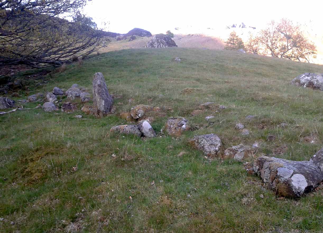
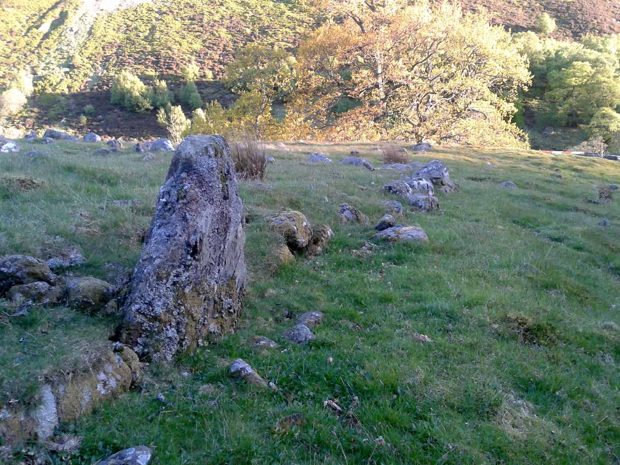
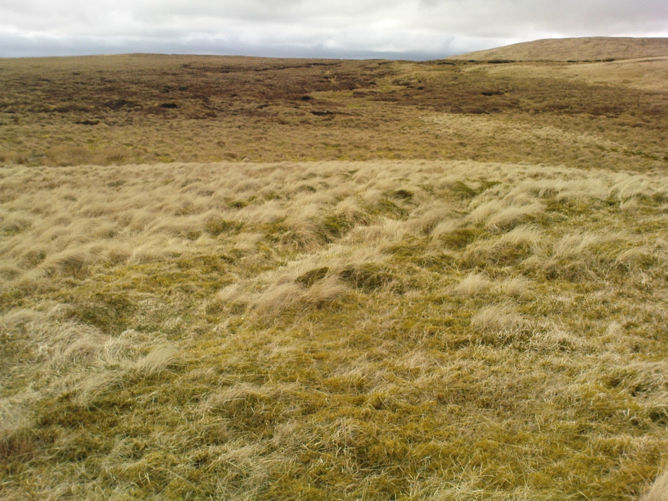
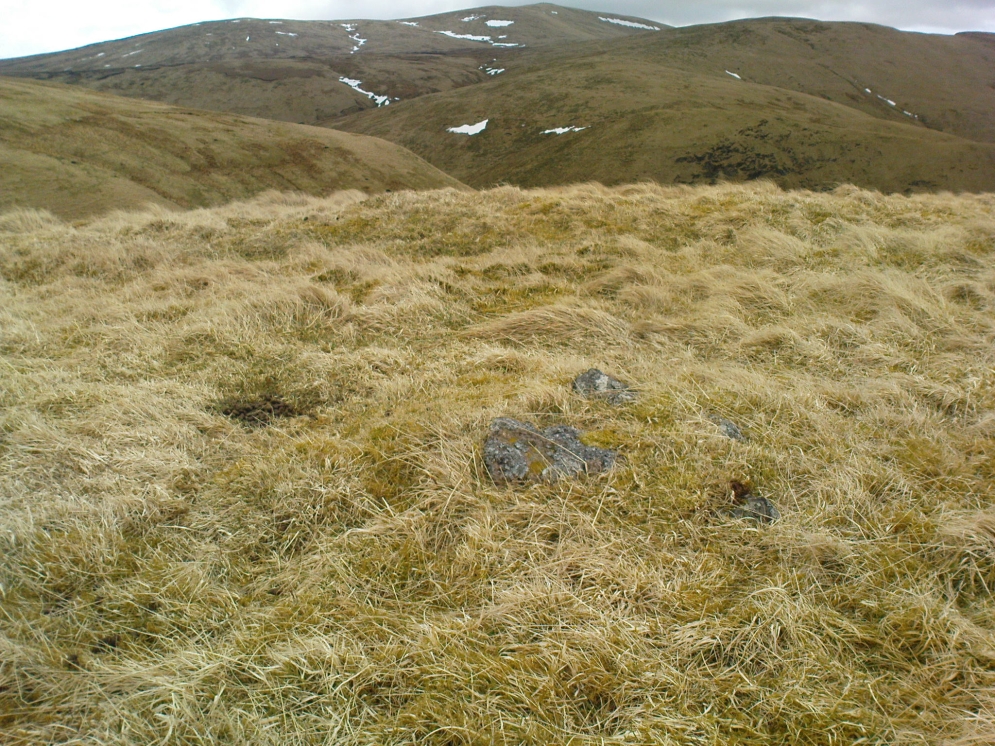
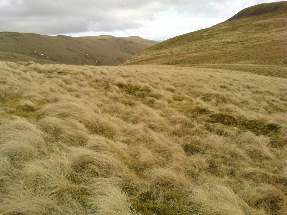
Venture along the A822 Crieff to Dunkeld road, turning down into the gorgeous Sma’ Glen. Nearly 1 mile past Ossian’s Stone, just past where the road crosses the River Almond, walk along the track on your right where the big boulder sits. Past the boulder, walk up the grassy slope to the left. A standing stone will catch your attention, which sits in the walling. Y’ can’t really miss it!
Archaeology & History
Rediscovered by Paul Hornby in 2015 at the end of a day’s excursion to the neolithic sites a few miles west of here, I can find no references at all to the denuded remains of what seems to be a typical prehistoric enclosure.
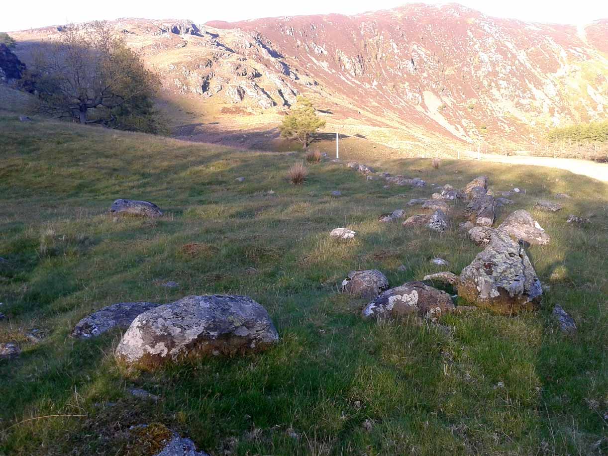
Looking down the west wallThe southwestern walls
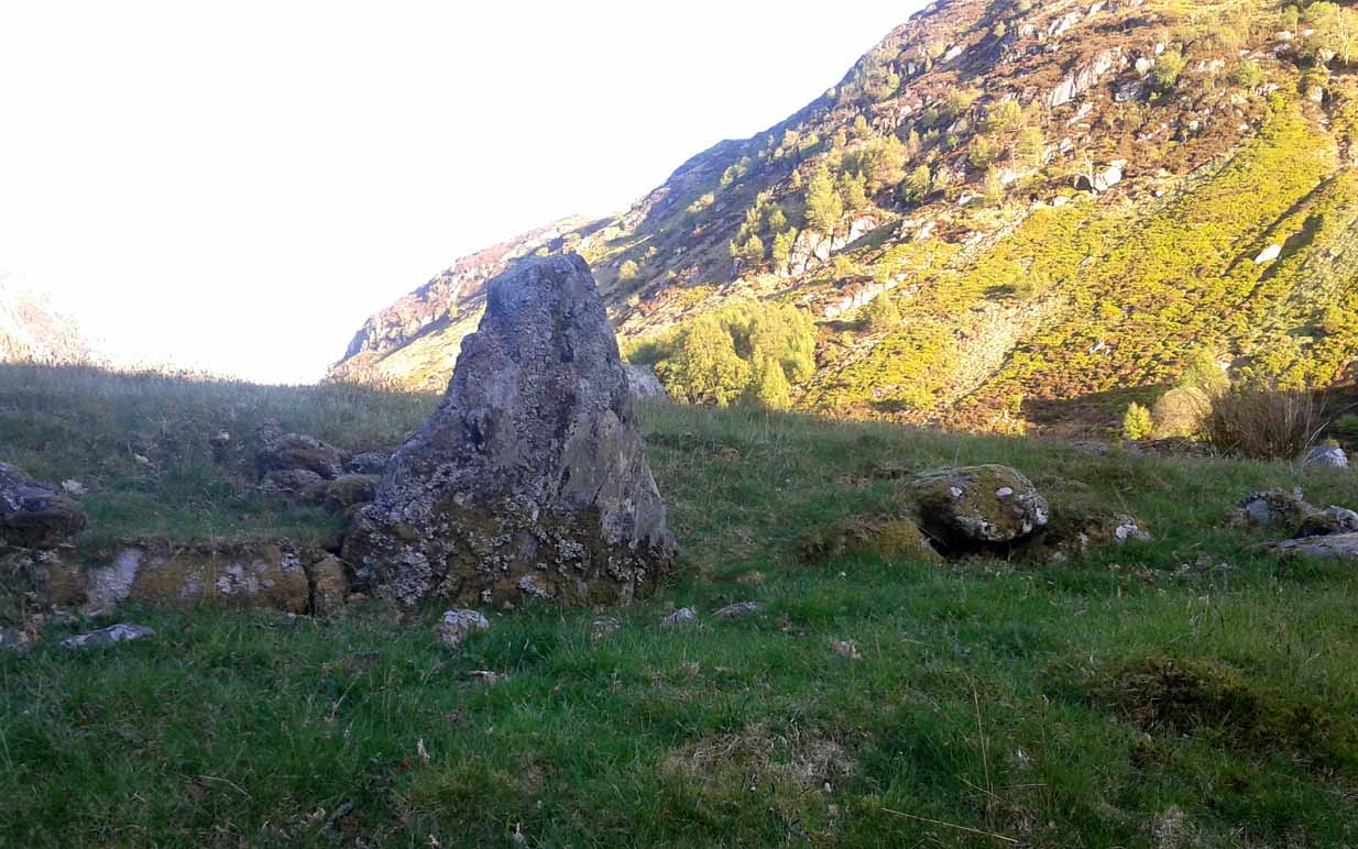
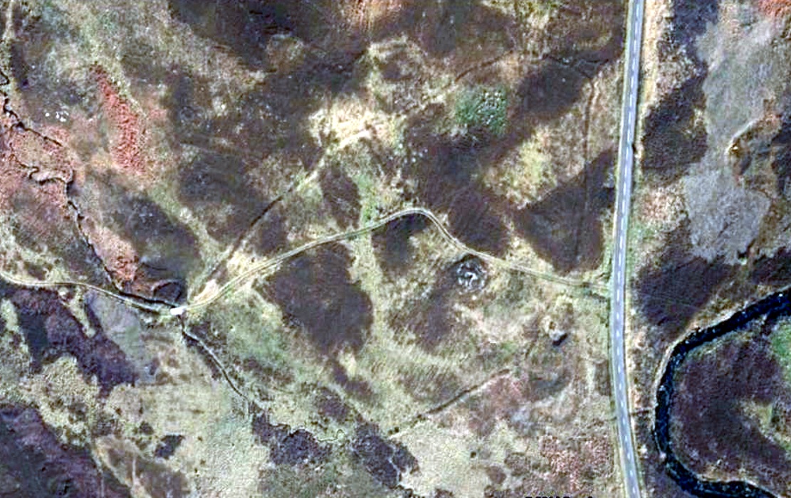
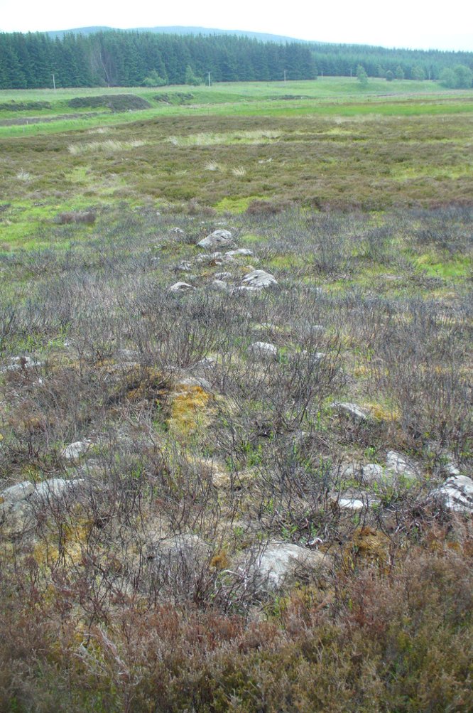
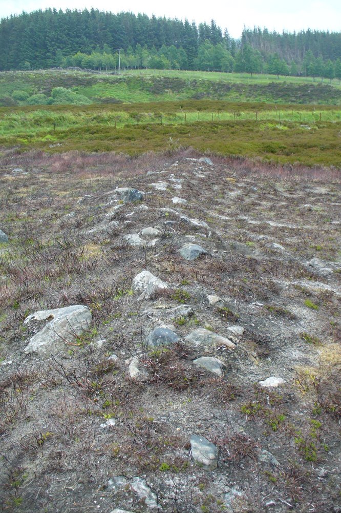
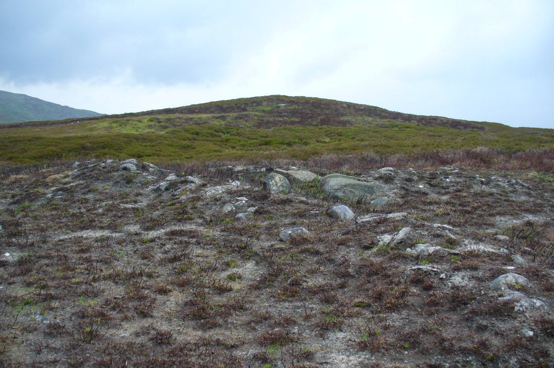
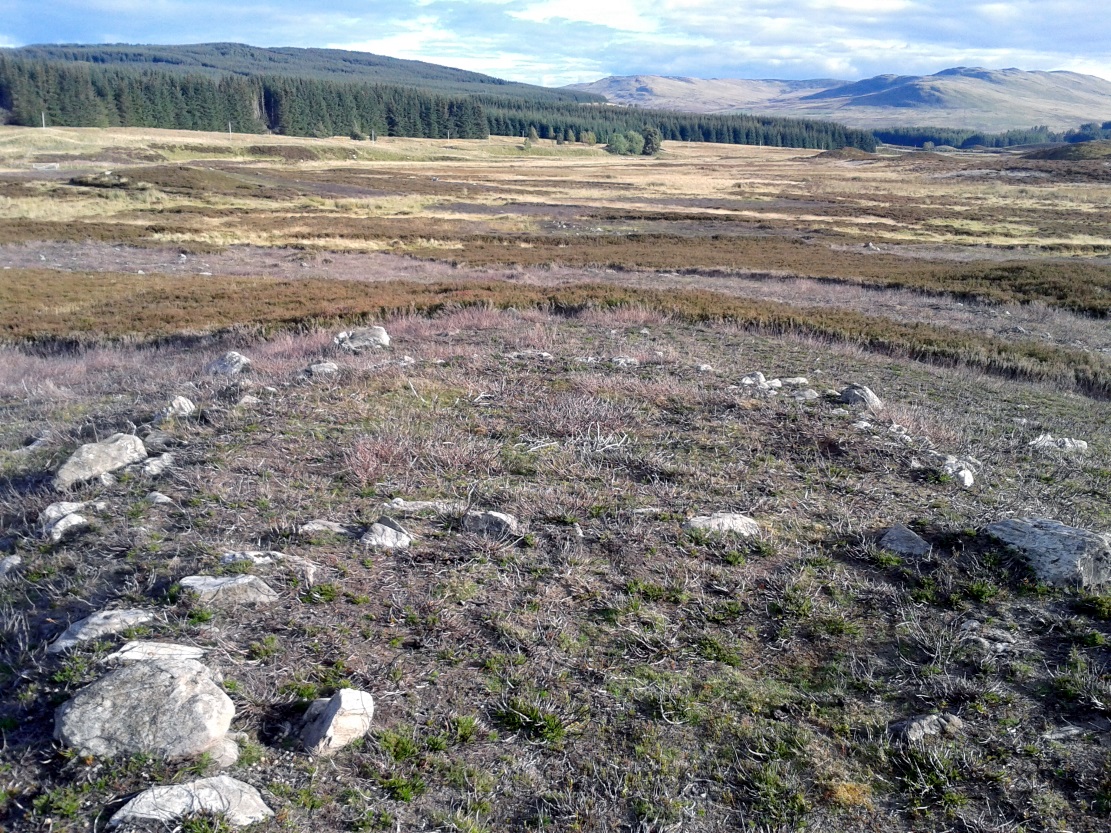
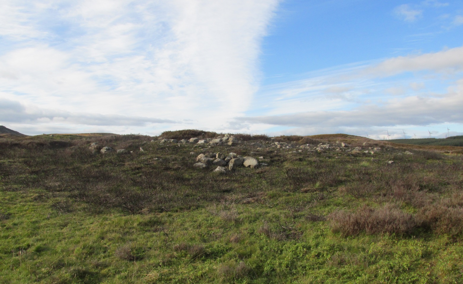
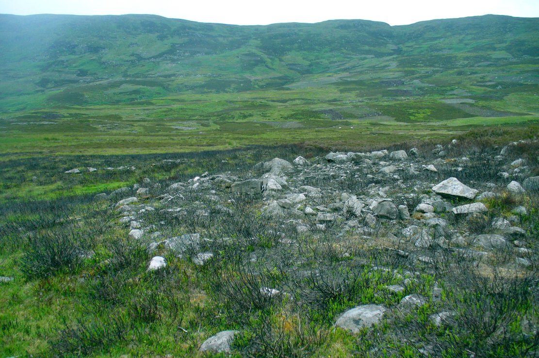
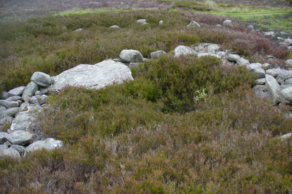
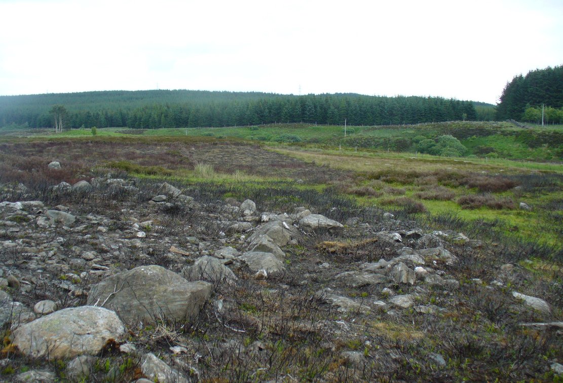
Constructed around a natural rise in the land 60-70 yards above the River Almond, the enclosure has that ‘Iron Age’ look about it (it may be earlier). Shaped like a giant ‘D’ (and clearly visible on GoogleEarth), the extensive walling that makes up the site—about a yard wide all the way round—is far from small, measuring some 60 yards (54.8m) at its greater longer axis roughly north-south, by 54 yards (49.5m) east to west, with a circumference of about 170 yards (155.5m). The much-denuded walling that defines the perimeter is comprised of a number of large stones with thousands of smaller packing stones that are mainly overgrown. A large ‘standing stone’ about 3 feet tall is the most notable feature nearly halfway along the western wall.
Small standing stone in wall
In all probability this enclosure would have been in use since its construction in the Iron Age period all the way through to the coming of Fuadach nan Gàidheal (the Highland Clearances) in the 19th century, as the people here were pragmatists who made best use of what was around them. It is likely to have ended its days as an area where cattle was contained.
Acknowledgements: Huge thanks to Paul Hornby for his assistance with site inspection, and additional use of his photos.
Enclosure (destroyed): OS Grid Reference – ST 6706 6307
Also Known as:
Windsbury Hill
Archaeology & History
Winsbury Hill earthworks
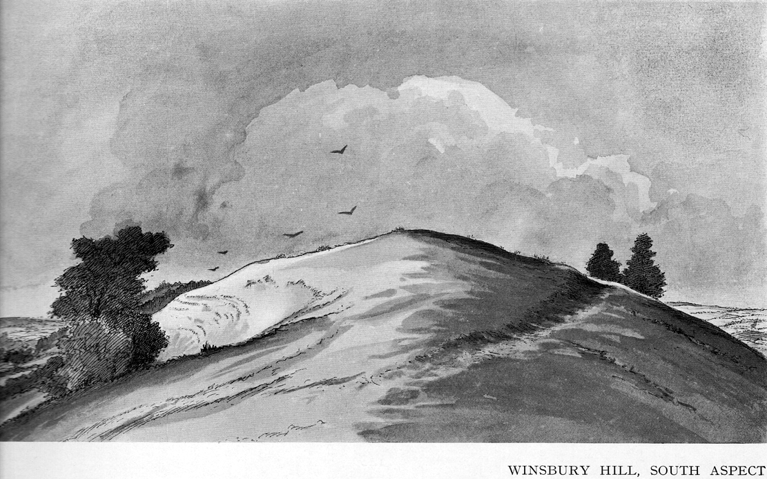
Apparently, all traces of the possible prehistoric camp or enclosure that were located by Edward Burrow in the 1920s, seems to have vanished. Very little remained of it even then. Lower down the slopes are a distinct series of ancient lynchets (or cultivation terraces), which may date back to the Iron Age—these are clearly visible on the eastern and western sides. Mr Burrow’s (1924) account of the site was as follows:
“Just south of Stantonbury Camp, near Bath, on the adjoining height known as Winsbury Hill, I have traced the almost obliterated remains of a ditch running round the shoulder of the hill, which I have indicated on my drawing. (above)
“On the south and eastern slopes of this prominent hill there are various terraces and scarps, which would repay further investigation. Possibly Winsbury was fortified as an outlier of the more pronounced Stantonbury Camp, standing directly on the line of the Wansdyke, which runs across the valley towards English Combe.”
References:
Burrow, Edward J., Ancient Earthworks and Camps of Somerset, E.J. burrow: Cheltenham 1924.
Start at the Askwith Moor parking spot on Askwith Moor Road, then walk down the road (south) 300 yards till you reach the gate and track on the other side of the road, heading southeast. Following the track onto the moor and take the footpath on your right after 75 yards. Follow this along until you hit the gate & fence. Climb over this, then follow the same fence along (left) and down, and keep following the fence and walling all the way on until you reach the very bottom southwestern edge of Askwith Moor itself. Now, walk up the slope to your right and, near the top of this rise 250 yards away, past Lower Lanshaw 01 carving, in some ancient walling, you’ll find it!
Archaeology & History
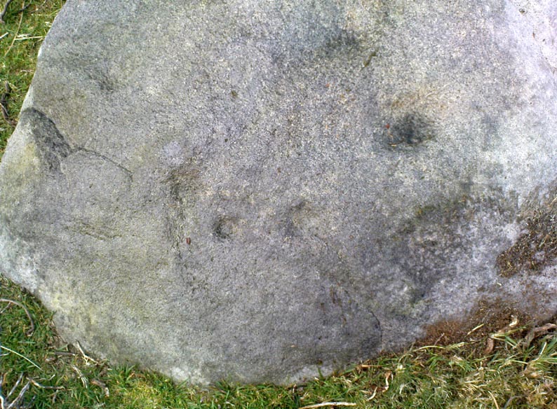
A very faded cup-and-ring carving can be found about 30 yards northeast of the Lower Lanshaw cup-marked stone, just as the hill slopes down to the overgrown stream. It rests on the lower edges of the prehistoric (probably Bronze Age) enclosure in which other archaeological remains can be found. Although the photo here highlights what seems to be 3 cups on the south-face of the rock, only one of them seems authentic. A pecked “line” also seemed evident, but the light conditions were poor when we were here. It does seem that there’s a faded ring around one of the cups, as you can see in the photo.
Take the directions to find the Carn Ban giant cairn. Once there, you’re in the middle of the enclosure—or near enough!
Archaeology & History
This is one of several very large extensive prehistoric enclosures that stretch across the undulating rocky plains of this wild moorland, high up below the mountain-tops south of Aberfeldy. Although humans are scarce up here nowadays, in ancient times it was a very different ballgame.
Internal line of wallingEastern edge walls
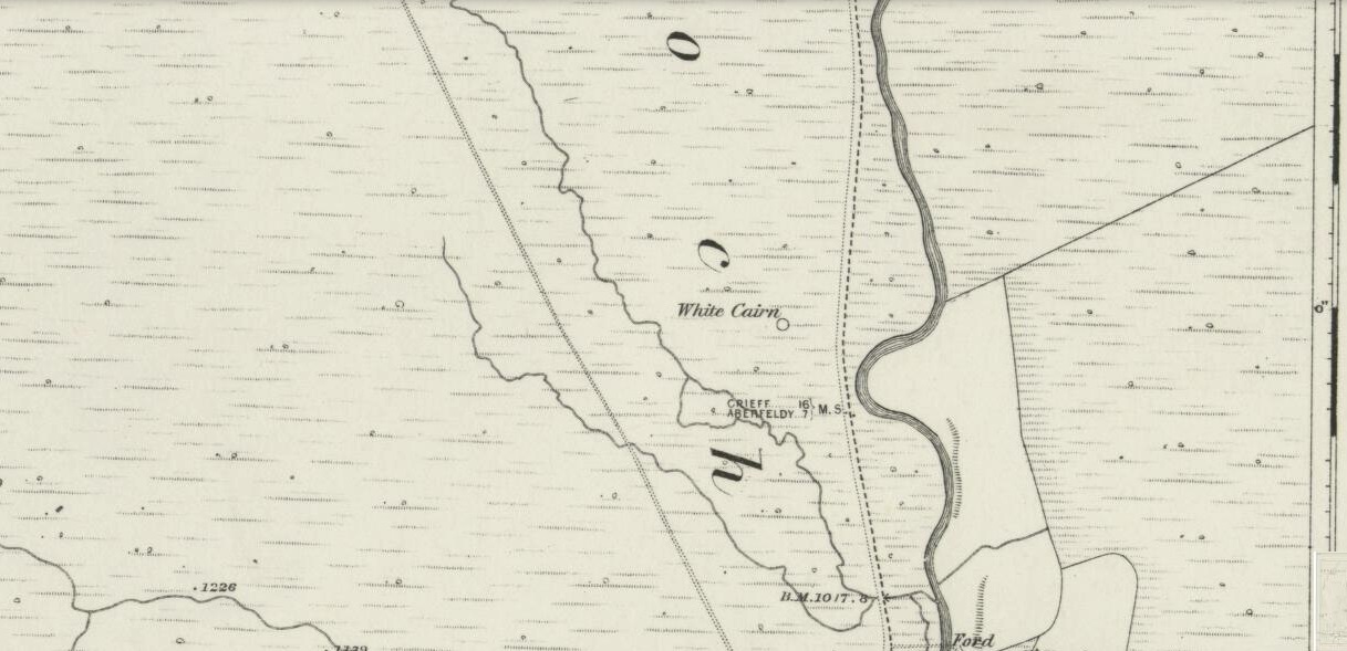
Extensive and well constructed walling, measuring an average of 2-3 yards across and several feet high in places, encircles the giant White Cairn some distance away from it, running for a third-of-a-mile (0.5km) in a contorted oval shape. The walling is pretty much continuous except for where the modern tracks have destroyed two sections of it (and other monuments within) and where entrances or ‘doors’ allowed access on the west, north and eastern sides. The circuitous route of the walls appears to start and end at a small unnamed stream at its southern end.
Outer northeastern walling
Inside the perimeter walls, there are scattered examples of simple hut circles and cairns—some singular, others for families, and others that may be clearance cairns. It’s difficult to say without excavations. On the top northwestern side of the enclosure there is another, smaller enclosure attached to the main mass—seemingly earlier in construction than the giant creature its attached to—which overlooks the curious Shaman’s Lodge double hut-circle 75 yards to the west. This and much of the internal area was, when we visited, covered in extensive and deep heather, so we couldn’t get a clear picture of the entire site.
We might never know exactly how many people used this site, but we can say with some certainty, due to the remains found inside and around the place, that it was used by lots of people over many centuries, not just for what modern homo-profanus defines as ‘utilitarian’ purposes, but also important rituals were practised herein (though we are looking at an ahistorical period before the boundary of ‘sacred’ and ‘profane’ had been defined).
For antiquarians and explorers, this region is a must! A weekend of sleeping rough up here might well be in order!
References:
Stewart, Margaret E.C., “Strath Tay in the Second Millenium BC – A Field Survey”, in Proceedings Society Antiquaries Scotland, volume 92, 1961
Acknowledgements: Huge thanks again to Paul Hornby for his assistance with site inspection, and additional use of his photos.
Take the same directions to reach the giant Carn Ban prehistoric tomb. Follow the track past the tomb further onto the moorland until you reach a small wooden bridge over the small burn. From here, walk straight north off-path onto the moor for 100 yards and a small rise in the land, with several cairns just below it, is the site in question.
Archaeology & History
Hut circle are hut circles – right? Well, usually that’s the case. We find them attached to, or within, or outlying prehistoric enclosures and can date from anywhere between the neolithic and Iron Age periods. With the site we’re looking at here, on the outer western side of Glen Cochill’s southernmost giant enclosure, there’s something amiss….or maybe that should be, “something rather peculiar.”
Mr Hornby, hut-sideShamans Lodge walling
Paul Hornby found it a few weeks ago during an exploration of the region’s prehistory. We went in search of, and found, the giant Carn Ban close by, but noticed curious archaeological undulations ebbing in and out of the heathlands: cairns, walls, hut circles, settlements, more cairns—and then this!
Consisting of two slightly larger-than-average ovals of walled stone, probably Bronze Age in date, the first impression was of a remarkably well-preserved site (and that it is!), seemingly of an elongated stretch of walling, with a central wall that split it into two halves. Each ‘hut circle’ was found to be between six and seven yards across, with the two conjoined architectural features giving an overall NW-SE length of 14 yards. But the more we looked at this, the more obvious it became that this was originally one single hut circle—the lower southeastern one—with an additional one that was added and attached onto the northwestern side at a later date, probably several centuries later.
Lower earlier hut circle, with upper later hut circle attached
Walking around the structure we found that the very well-preserved walls—about 2 feet wide in places and rising a foot or so above the compacted peat—had been built onto a raised platform of earth. This was no ordinary hut circle! The ground beneath it seems to have been raised and supported and on the southern side in particular it is notable that other building stones are compacted into the peat. There may even be the remains of a secondary outer wall on this southern edge, where it seems that the entrance was made.
Small group of cairns 15 yards away
Here’s the curious bit: immediately outside the northwestern and southern walls are small prehistoric tombs, or cairns. Not just one or two, but more than a dozen of them, all constructed within 20 yards of this curiously raised double hut circle. Literally, a small prehistoric house of some form was raised in the centre of a prehistoric graveyard—and it doesn’t end here.
Of at least three giant enclosures in this region, and what looks like a very well-preserved prehistoric tribal hall or meeting place, there are upwards of a hundred tombs scattered nearby. Two cairn circles were also found about 100 yards to the north, one of which was damaged by a military road a few centuries ago.
Close-up of walling
I give this double-roomed abode the somewhat provocative title of the Shaman’s Lodge because of its setting: surrounded by tombs, the ‘house’ would seem to have been a deliberate setting erected in the Land of the Dead here. I hope you can forgive my imaginative mind seeing this as a structure where, perhaps, a medicine woman would give rites to the dead, either for those being buried in the small graves, or rites relating to the giant White Cairn of the ancestors close by. Shamans of one form or another occur in every culture on Earth and have been traced throughout all early cultures. If no such individuals ever existed within the British Isles, someone needs to paint one helluva good reason as to why they believe such a thing….
When the heather grows back here, the site will disappear again beneath the vegetation. It is unlikely to re-appear for quite sometime, so I recommend that anyone wanting to have a look at this does so pretty quick before our Earth covers it once again….
References:
Stewart, Margaret E.C., “Strath Tay in the Second Millenium BC – A Field Survey”, in Proceedings Society Antiquaries Scotland, volume 92, 1961
Acknowledgements: Huge thanks again to Paul Hornby for his assistance with site inspection, and additional use of his photos.
Take the A826 road south out of Aberfeldy, uphill – and uphill. Several miles up, past the roadside Loch na Craige, and past the solitary farmhouse of Scotston, you’re getting close. A few hundred yards past here watch out for the small bridge over the small burn; and literally another half-mile past this, keep your eyes peeled for the small track on your right, onto the moors. Walk 70 yards on the track and there, on your left, it rises from the heather!
Archaeology & History
Carn Ban, Glen Cochill (photo credit, Paul Hornby)
This giant neolithic tomb in the middle of a beautiful nowhere is perhaps the tomb of an ancestral King or Queen, later idolised into creation myths by our heathen ancestors who, we know, lived across this huge moorland plain for countless centuries. One account tells that “a circle of free-standing boulders set at irregular intervals” used to surround the cairn, but this seems to have gone.
Southeastern quadrant
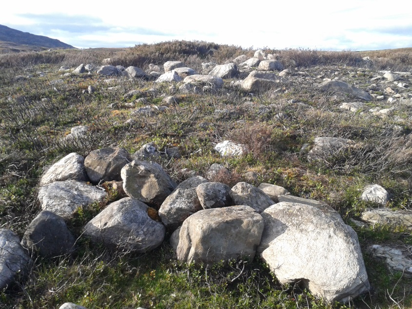
Measuring 21 yards (19.2m) across east-west, and just over 21 yards (19.3m) north-south, this is quite a large construction made up of thousands of small stones in a near-perfect ring that measures 68 yards (62m) in circumference. The cairn seems to have been built in three layers, with its outer defining ring of medium-sized rocks, upon which a layer of typical cairn-spoil stones were laid. A couple of yards within this, a second internal ring has been set consisting of much larger stones, more typical of those found in small stone circles or average ring-cairns. Within this, the cairn seems to have been raised again and another large deposit of countless stones were scattered, with many pieces of white quartz (very common in this area) incorporated in the construction.
Capstone and outer ringSection of internal ring
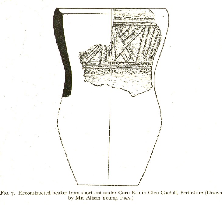
At the very centre of the cairn, at least one large central ‘tomb’ or cist is clearly evident. Within this cist were found the severely damaged ruins of a small decorated beaker, in which, perhaps, the ashes of the dead might have once been found. A very large and heavy capstone that covered the central tomb, has been rolled over and lays just off-centre. No rock art seems visible on this capstone, but we were unable to check its underside. When standing here at the middle of the tomb, you are four feet above the average ground-level of the surrounding moorland.
Section of cairn edgeImaginative reconstruction of beaker in central tomb
Curiously and erroneously reported by Margaret Stewart (1961) to have “been completely removed”, this large and very visible monument lives near the middle of a very large and extensive prehistoric enclosure, whose walled remains extend for some distance all round this section of the moors. Within this arena we find large numbers of other architectural features, including many smaller cairns, some hut circles and additional lines of internal prehistoric walling. Just a few yards south of the tomb itself, we can clearly see a length of walling running east-west and another seemingly reaching up to the White Cairn. Whether these were built at the same time, or later, is difficult to say.
In the event that you visit this site, take your time! All round here, mainly to the north and west, you will find masses of prehistoric remains, none of which has been adequately excavated. A few hundred yards north is an extended necropolis that doesn’t appear to have been surveyed.
References:
Stewart, Margaret E.C., “Strath Tay in the Second Millenium BC – A Field Survey”, in Proceedings Society Antiquaries Scotland, volume 92, 1961
Acknowledgements: Huge thanks again to Paul Hornby for his assistance with site inspection, and additional use of his photos.
Go up the B6160 road, heading for Kilnsey Crag. A few hundred yards past the famous crags, take the little road to Arncliffe. About a mile up, where you reach the second building on the left-side of the road, walk up behind here, up the steep fields and towards the craggy heights above. Keep right uphill till you see the cluster of cairns on the peak above; but before reaching them, walk over the rocky landscape to your left (southeast) and you’ll eventually see an excess of straight walling a coupla hundred yards away. That’s it!
Archaeology & History
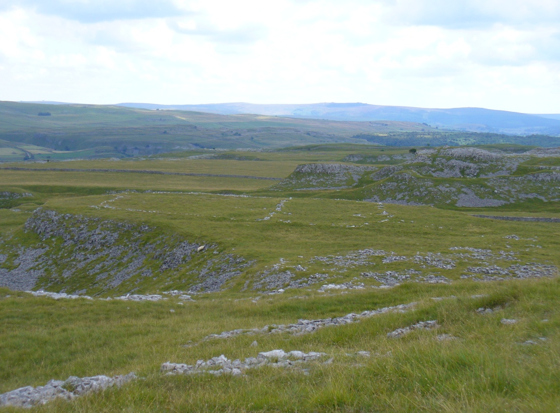
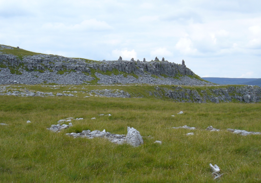
A bittova climb to get here – but well worth it in the end. On a spur of land amidst the outstanding limestone plateaux less than a mile south of Arncliffe village, rising near the silent ghostly cairns upon Knotts ridge above it, we come across an extensive prehistoric settlement complex. It is one of many in this upland region.
Looking south at the settlementKnott cairns above the settlement
Poorly described (if at all) by official archaeology websites, this place is big! All that we can see today at ground level are lines of very extensive lines of enclosure walling, between one and three feet high, intersecting each other and forming very large rectangles growing further and further out from each other towards the western scree. Much of the walled structures are in good condition if they are prehistoric, as presumed by archaeologists; but it seems obvious that the site was in continuous use by local people for domestic and agricultural purposes all through medieval and later periods.
One of the settlement hut circlesRaised lines of ancient walling
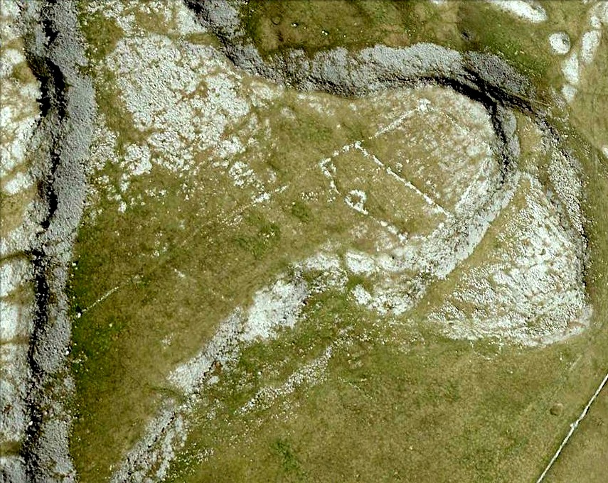
The longest stretch of visible walling runs from northeast to southwest and measures 175 yards long (160m), with several stretches of parallel walling splitting the settlement into different sections of large enclosures all attached to each other. These parallel walls measure a maximum of 54 yards (49.5m) and run northwest to southeast. The aerial image of the site shows the structures very clearly in some parts. Others are more vague and some are difficult to see at ground level. But the settlement as a whole cannot be missed. Several hut circles have been built inside the main rectangular enclosures, with two others faintly visible on the outer edges.
As far as I’m aware, no excavations have taken place here, so we are still grasping at periodic straws when it comes to dating the place. When Arthur Raistrick (1929) wrote his article about the associated enclosures like that at Blue Scar, a short distance to the east, he thought them to be Iron Age in origin. He may well right. A singular enclosure circle can be found a few hundred yards to the south.
References:
Elgee, Frank & Harriet, The Archaeology of Yorkshire, Methuen: London 1933.
Raistrick, Arthur & Chapman, S.E., ‘The Lynchet Groups of Upper Wharfedale, Yorkshire,’ in Antiquity, volume 3, 1929.
Go up the B6160 road, heading for Kilnsey Crag. A few hundred yards past here, take the road to Arncliffe and, several hundred yards along, keep yer eyes peeled for the (usually) decent craggy dry stream bed on your left (west). Follow this upstream till you hit the large cave, continuing uphill above the crags, following the steep walling upwards to the next set of crags. Above these, another long straight line of walling continues in the same direction you’ve been walking. Follow this along until it meets up with another large line of walling, heading NE. Walk along here till this wall changes direction NE, but here you need to walk across the grasses westwards, past the large cave for another 100 yards. You’ll find it!
Archaeology & History
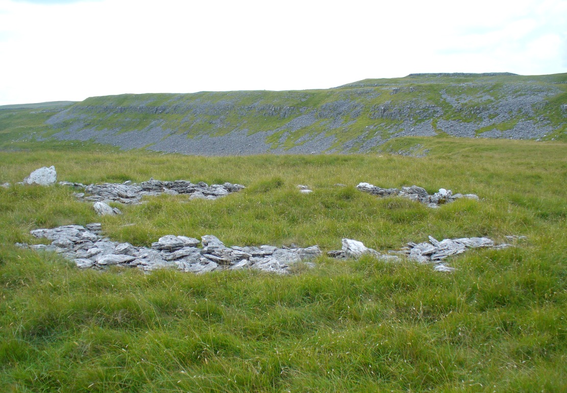
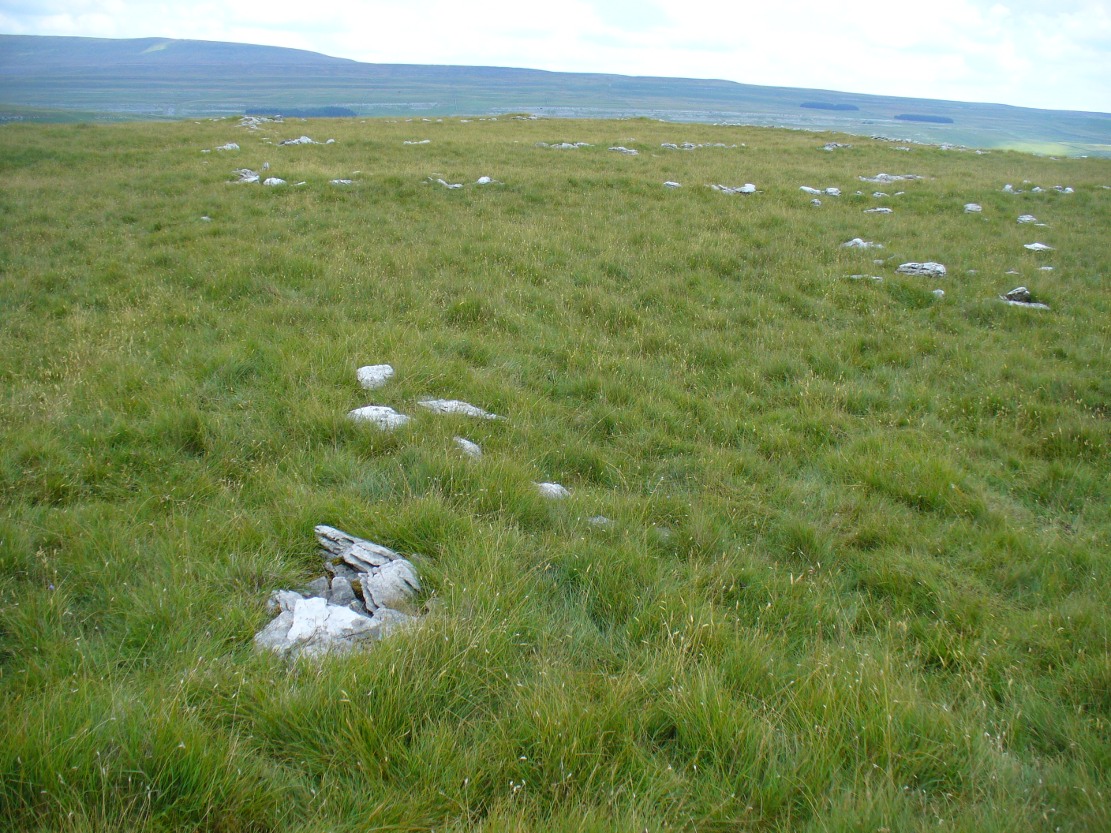
This is a simple but well-preserved circular monument, probably constructed in the Iron Age, just 100 yards past the incredible Douky Bottom cave (in which various prehistoric remains have been found). No excavations appear to have been made here, yet the near-perfect ring is in very good condition indeed. The monument consists of thousands of small stones – taken from the huge scree immediately behind the structure – whose uppermost visible mass overlays a much older and larger pile of stones, all of roughly the same size.
Douky Bottom ring, looking NE
The ring is less than 10 yards across and gives the impression of it being a large hut circle—which it may or may not be. Without an excavation we cannot know its function with any certainty. Other, much larger prehistoric enclosures and settlements are close by, mainly to the northeast; and you have the truly bizarre rock piles on the ghostly horizon crags, whose histories are quiet indeed…. For any antiquarians amongst you who’d like a good day out, give this region a try! It’s a truly intriguing arena with much much more hiding away than any of the archaeology records can tell you about.
Acknowledgements: Many many thanks to James Elkington for guiding us to the sites in this region.
Near the centre of this photo, the large ‘ring’ can be seen
From Midgley go west along Height Road and take the track up on your right, at the tree-lined bend, up Foster Clough and onto the moor as if you’re gonna go to Churn Milk Joan. As you reach the footpath at the quarries up the hill, go to the top of them and take the small footpath where the land levels-out and head east towards the walling. Just a hundred yards or so before the walling, keep your eyes peeled, cos you’re damn close!
Archaeology & History
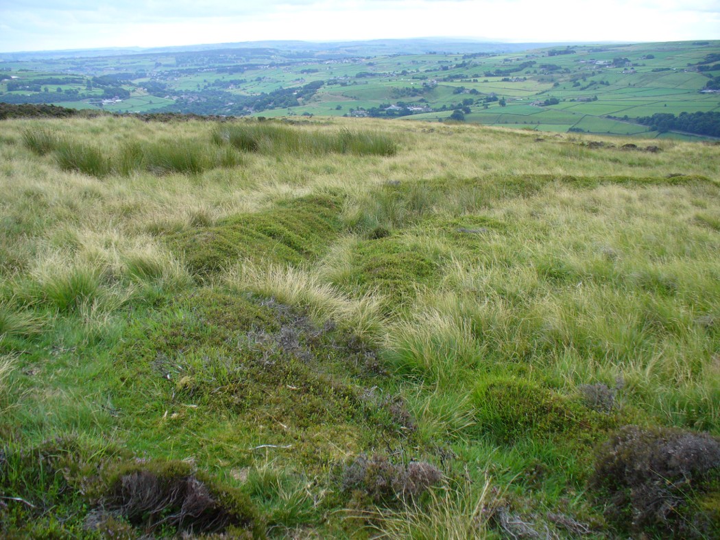
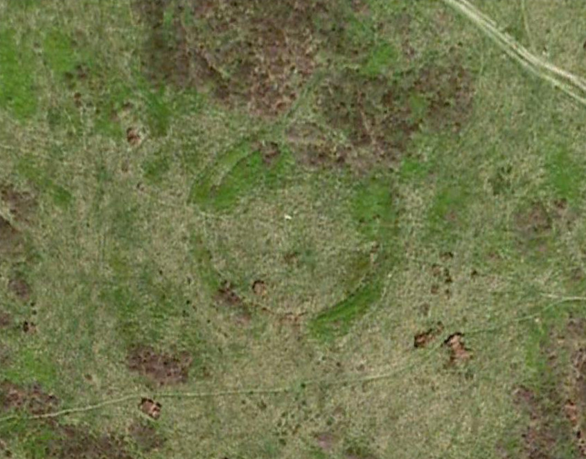
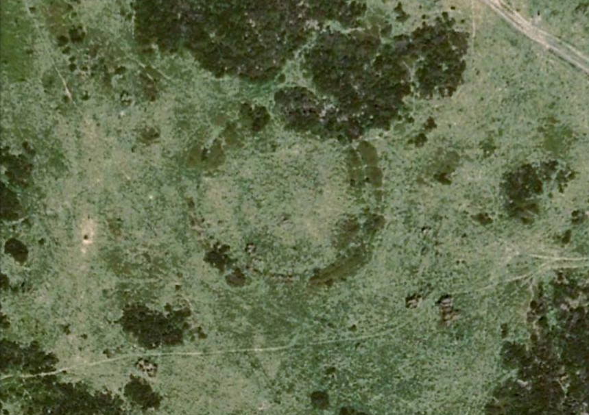
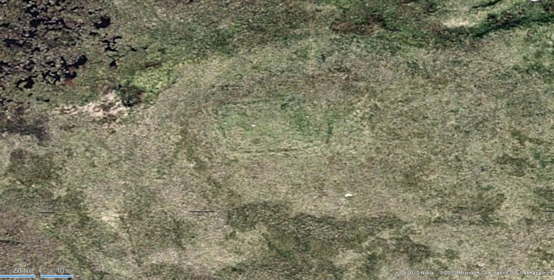
Best seen when looking down from the slopes above, this is a fascinating site that is lucky to still be here! For just a few yards to the west are extensive quarry works that could easily have destroyed the place had they continued. But thankfully we have here a near-perfect circular enclosure: measuring roughly 27 yards in diameter east-west, and about 25 yards north-south, the circumference around the outer-edge is approximately 82 yards (75m). It has all the appearance of an overgrown henge monument, with an outer bank and inner ditch, then a central flat arena—and it may indeed be such a monument—but until we have a decent excavation of the site, we’ll stick to calling it a simple enclosure—which it is!
Eastern arc of bank & ditch
The outer bank is very much overgrown, but as it runs round and defines this site, it measures 1-2 feet high most of the way, except on the westernmost spot, where it seems there may be an ‘entrance’. The inner ditch is only a couple of feet deep, again all the way round the monument. The internal level of the site is pretty flat, like most henges; but there seems to be a small central ‘cairn’ of some sort in the middle. Again, this is very overgrown by our traditional moorland vegetation.
Aerial image, 2009Aerial image, 2006
So what is it exactly? An enclosure, a settlement, or even (as local research student John Billingsley once suggested) a henge? Tis difficult to say for sure without further and more detailed archaeological excavation. My estimate is that the site is either Bronze- or Iron-Age in nature, and is definitely an ‘enclosure’ of some sort. We have located other prehistoric sites on the slopes just above here to the north, like the Crow Hill cairn circle and accompanying tumulus, remains of a neolithic settlement and a number of other small single cairns that are only visible when the heather has been burnt back. If you intend to explore any of the ancient sites sites on this moor, check this one out!
References:
Bennett, Paul, The Old Stones of Elmet, Capall Bann: Milverton 2001.
This really take a lot of effort to find. From Alva, go up through the graveyard past St. Serf’s Well, turning left and across cross the lane. A gate into the field takes you past Rhodders Farm then up the zigzagging track up the steep hill called The Nebit and into the Ochils. Where the track stops zigzagging, keep your eyes peeled for a left turn (west) about 1000ft up. Go along this, parallel above Alva Glen, for about 2 miles till you reach the sheep fanks. Naathen – go straight uphill towards Bengengie peak, steering to the right (north) side, avoiding the cliffs and onto the level moorland. Once there, you’ll see a rounded hillock a coupla hundred yards ahead. That’s the spot!
Archaeology & History
Southeastern corner of the ditch & bank
This is a bittova long hike to see a very overgrown site – but if you really enjoy the hills, it’s a good little side-track to visit. I came across it recently on a long bimble over the Ochils, on my way back home after travelling to three of the Ochil peaks. Walking carefully across the swampy heights of the Menstrie Moss, a rounded hillock north of Bengengie seemed to have the pimple of a cairn on its top—so I veered over to have a look.
The cairn was small and overgrown, with just a half-dozen rocks visible above ground, and a collection of others in the same pile beneath the heathland grasses. It was obviously a man-made assemblage, but I couldn’t say for sure whether this was the grave of a person or someone’s favourite sheep a few centuries back!
Small cairn inside the enclosure
It was when I walked around the cairn to try and get some photos of it, that another very distinct feature—not immediately visible—stood out and gave this single cairn a series of additional ingredients that really brought this site to life! For just a few yards east of the cairn I noticed an obvious ditch and outer embankment, running roughly north-south, which may have relevance to the pile of stones. And so I walked along the edge of the embankment, for about 10 yards, only to find that it turned to the right and continued onwards, east-west, for some distance. This then turned at a similar angle again about 30-35 yards along, and then again, and again, until I returned to where I had stood initially a few minutes earlier!
There was no doubt about it: this was a man-made, roughly rectangular-shaped enclosure, whose bank and ditch averaged 1-2 yards across. The maximum height of the outer embankment is less than 3 feet. Its eastern and western lengths measured roughly 17-18 yards long, and the longer lengths north and south were between 30 and 35 yards at the most. The cairn feature that I’d initially noticed is found at the near-eastern edge of the enclosure. Apart from that, my initial ramble here indicated few other internal features that were visible, except several small stones.
Southern line of bank & ditch, running left to rightEastern section of ditch & bank, looking north
The great majority of the site is very overgrown and, as you can see, the photos of the ditch and bank constituting the enclosure are sadly not that easy to make out. You can see it mostly by the colour changes of the vegetation, running in lines either across or up through the middle of the photos. I need to get up there again and try get some better images sometime soon—and also to see if there are other features hiding away on the heights of these old hills, long since said to have been the abode of one of the great Pictish tribes (there is also a considerable mass of old faerie-lore in these hills, indicating considerable ancient activity of people whose cosmos was inhabited by spirits and forms long since forgotten in the consensus trance of most moderns).
As for the age of the enclosure: it’s difficult to say on first impression and I’m not keen on making a guess on this one. It’s certainly old, as the overgrown vegetation clearly shows, both on the photos and when you see it first-hand. It’s already been suggested by one graduate as possibly neolithic, but I’m a little sceptical about that, as its linearity isn’t consistent with neolithic features we know about in the mid-Pennines. However, this geographical arena is new landscape for me and so the possibility remains open until better, more competent investigation gives us a clearer time period.