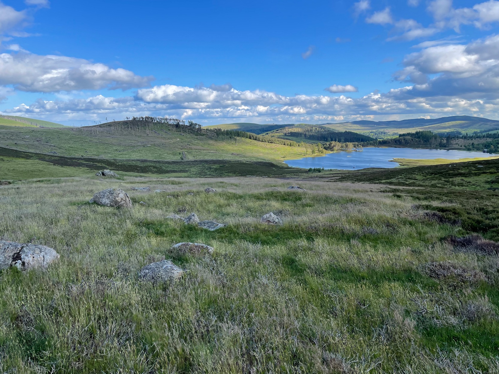
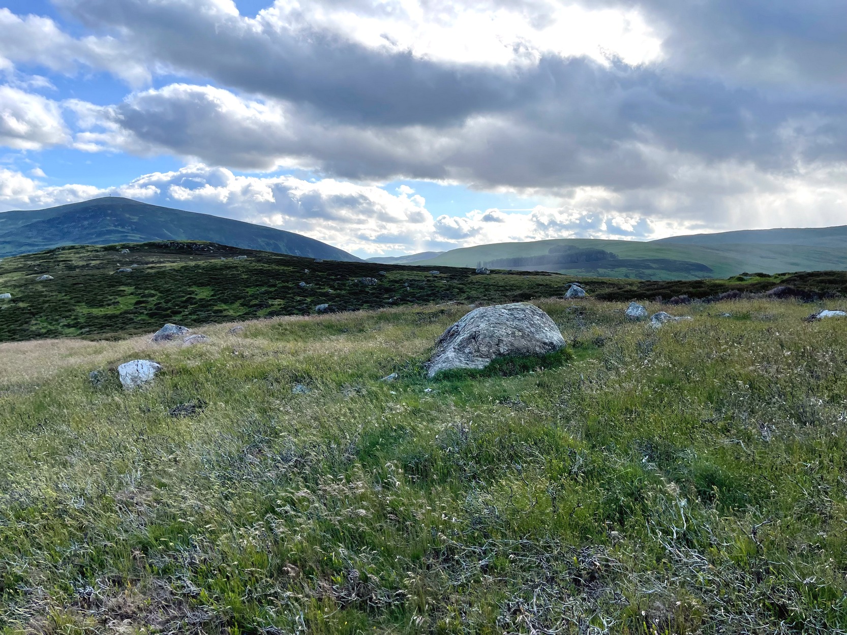
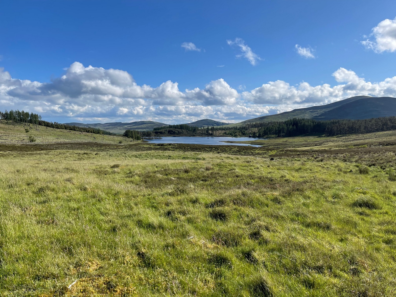
Along the B8079 road in Blair Atholl village, take the minor road signposted to the Bridge of Tilt. After half-a-mile, where the road splits, keep to the right and head further uphill and, where the almost-track-like road splits again another quarter mile up, bear to the right again and just keep going uphill for nearly two miles until your reach the large car-park on the left. Park here. Note the long straight line of walling on the top-side of the car-park that runs to the NW. Walk along the other side of the wall and, after 100 yards, you go down the marshy dip and, once it rises up onto the small rise, truly truly truly keep your eyes peeled to see what lays beneath your feet. They’re there – honestly!
Archaeology & History
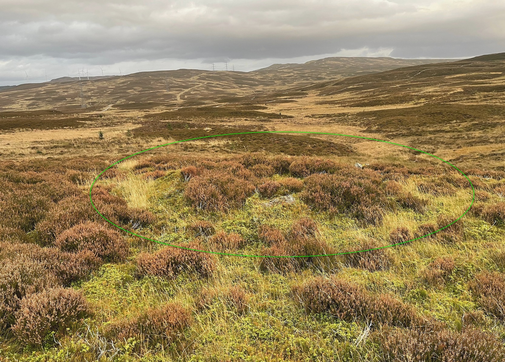
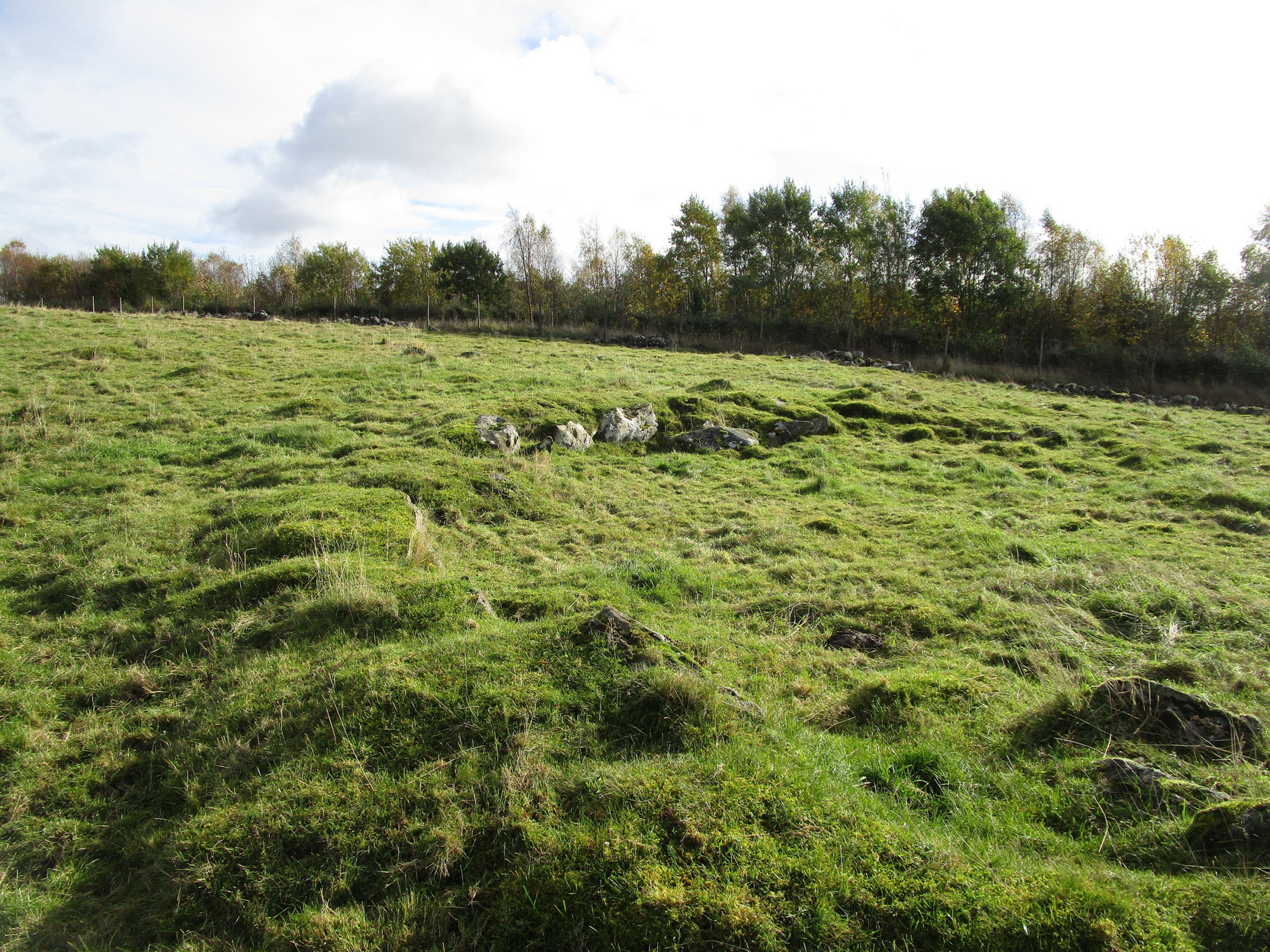
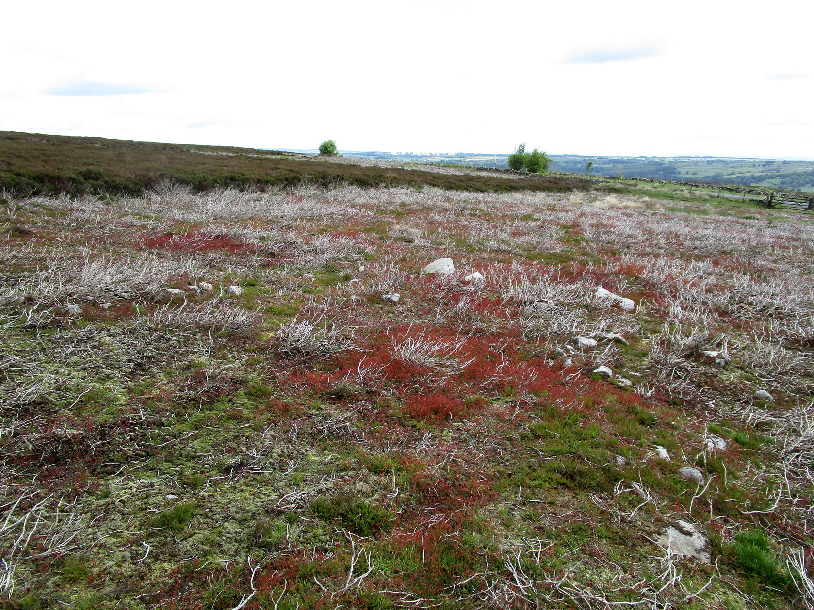
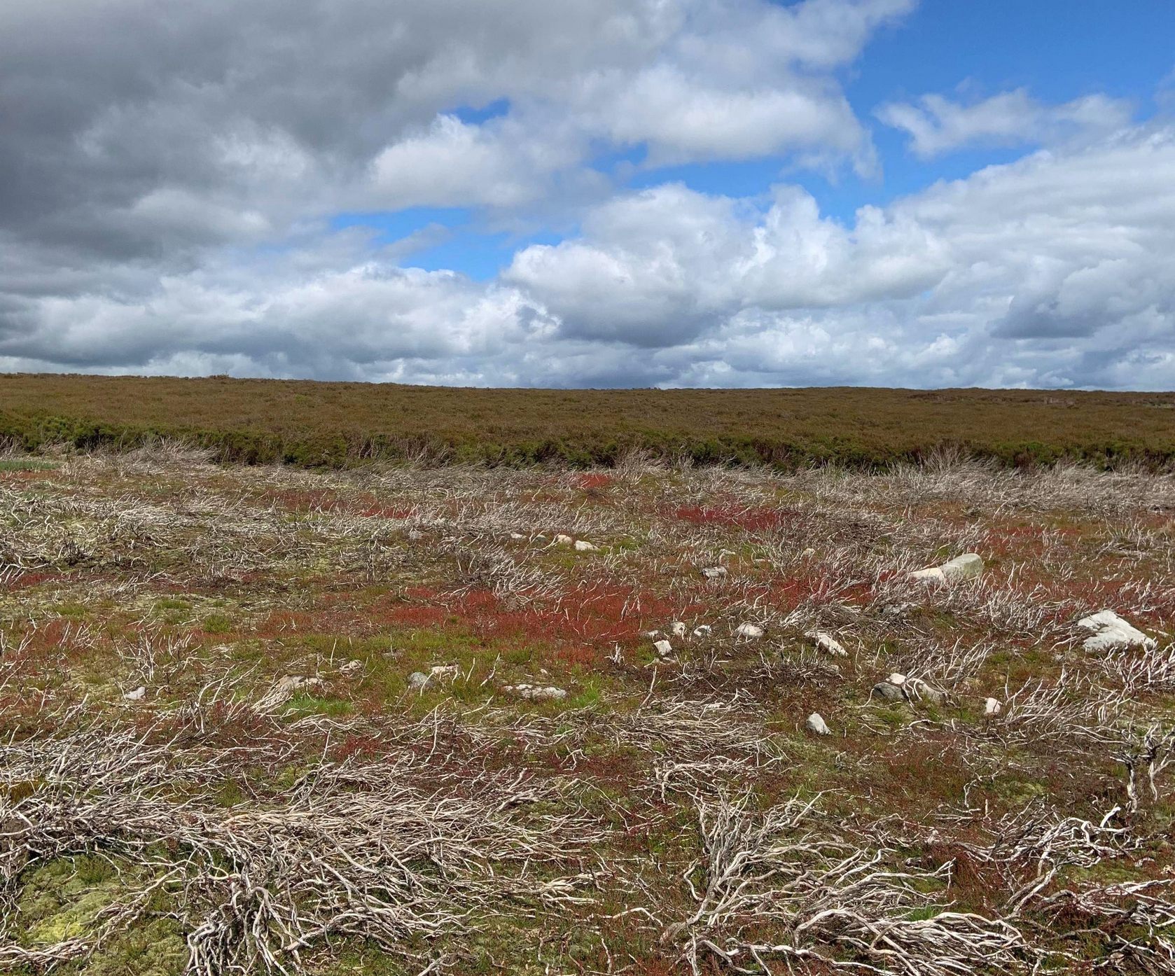
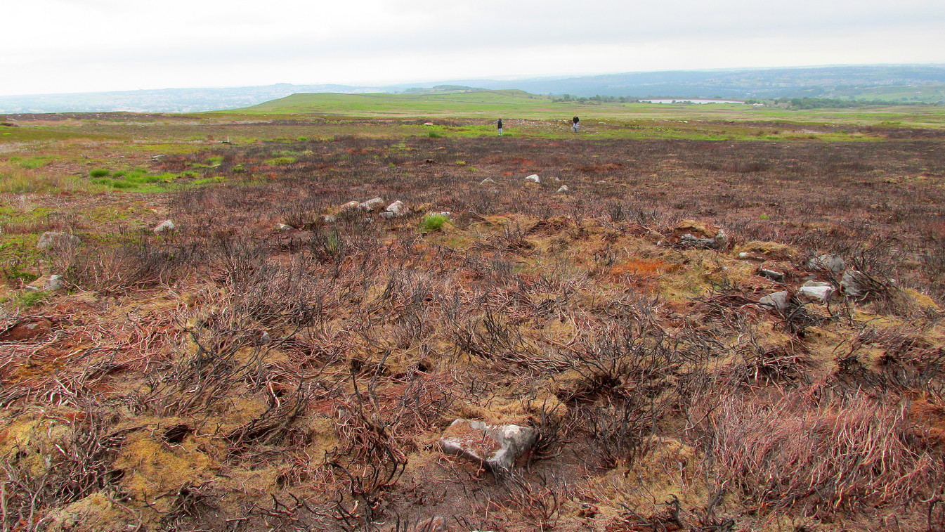
As the years drift by, the remains of these two hut circles—separated barely ten yards from each other—have become increasingly difficult to see. Upon our visit here, the hillside vegetation was at its lowest at the end of the Winter, yet it was still difficult to see them clearly, even when we stood right in them! The land here is marshy and it’s spreading more and more into the soil, slowly but surely taking these old circles back to Earth, where all things return….
It’s there, under your nose!
The circles—and their half-dozen companions on the far-side of the wall—were shown to the archaeologist Margaret Stewart in the 1960s by the farmer at Monzie, who made notebooks of various places and traditions in this area. Both of them are between 12 and 13 yards across, with the outlining walls that define them still thankfully visible above ground level—just! The hut circle that’s closest to the modern wall is more oval-shaped than its circular companion, both of whom have their respective doors or entrances on the southwestern sides—but these were equally difficult to make out when we came here.
To be honest, if you’re wanting to see the hut circles, I’d head for those on the other side of the wall, two or three hundred yards to the west, which are much easier to find and are in better condition.
Acknowledgements: To my awesome Naomi – for getting us up here.
From Kenmore village, just as you’re going out of the village towards Aberfeldy (A827 road), turn right as if you’re going on the minor road on the south-side of Loch Tay. Almost immediately on this road, turn left and take the tiny, steep road uphill towards Amulree. After 2½ miles uphill, the road begins to level out and a small loch is on your left (north). Just past it, on the same side, a track runs onto the moors. Walk along here for nearly a mile where the track splits: keep to your left and the track follows the line of walling. Now’s the hard bit: after literally ⅔-mile, walk downhill and cross the burn (stream), then less than 50 yards up the slope on the other side, zigzag around…
Archaeology & History
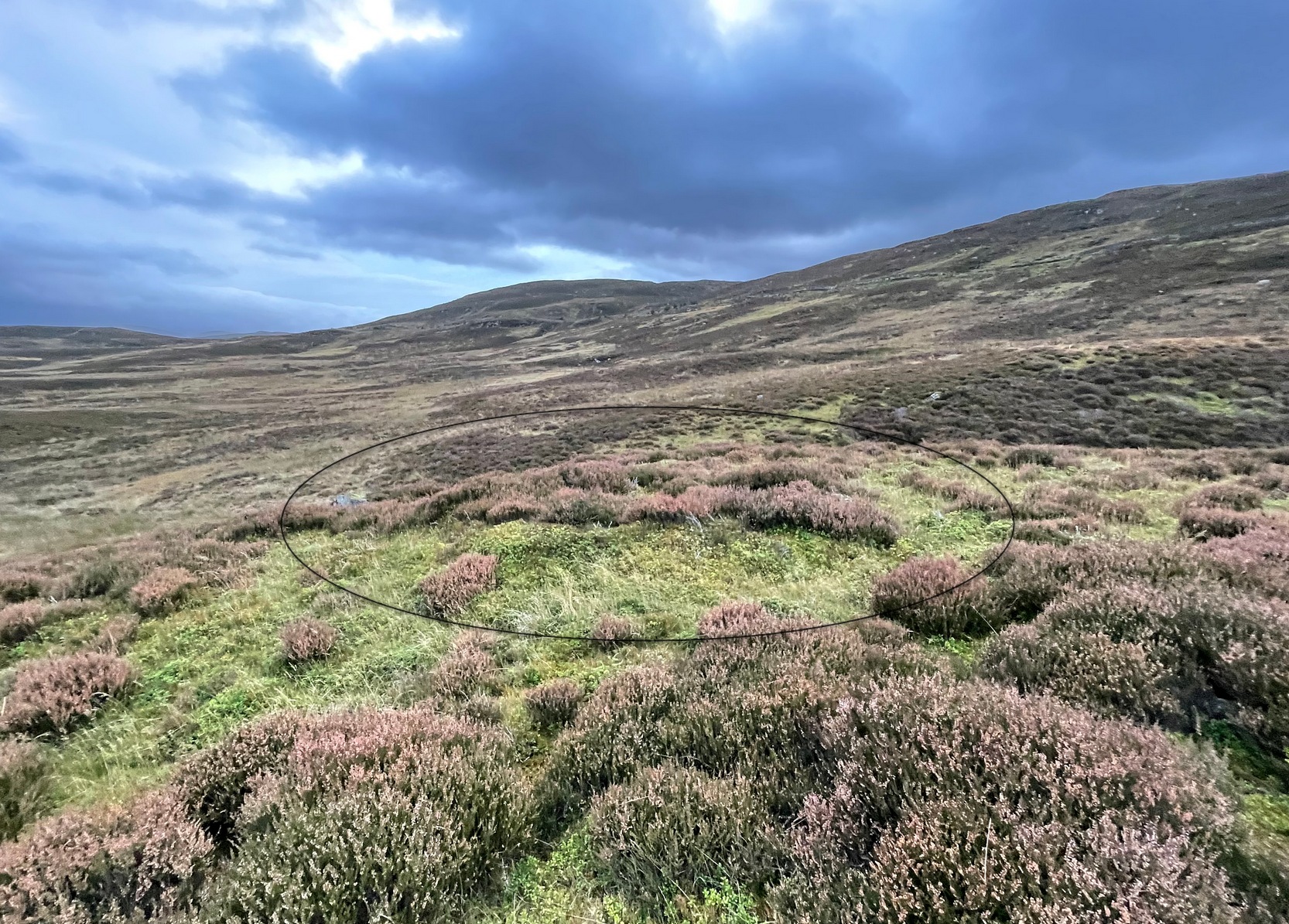
Craig Hill circle looking SW
Overlooking a small (unnamed) burn immediately to the right and a large wide marshy hollow to the front, is this small and seemingly singular hut circle, in a good state of preservation, surrounded by the scattered mass of cup-and-ring stones—some complex, some very plain—all over this moorland slope. It’s a very long journey to take just to visit a single hut circle, but I’d assume that you’d be wanting to see the petroglyphs surrounding it too—so mebbe have a look at this whilst you’re fondling the rock art!
Internally this is quite a small circle, measuring barely 5 yards (east-west) by 6 yards (north-south), seemingly with its entrance on the north. Its small size suggests it was constructed for the use of just one person; two at the very most. The structure is still in very good condition considering its age (possibly Bronze Age), with minimal damage apart from Nature’s wind and weathering. The circle is made up primarily of a number of large rocks with many filling stones, with the walling being a yard or so wide all round. In all likelihood, the rest of the building would have been made of timber, with a typical tented roof. It’s an excellent spot to base yourself to explore all the cup-and-ring stones on these slopes. Perhaps, just perhaps, this might have been a shaman’s hut, looking over the ancestral images on the rocks hereby…. ♥
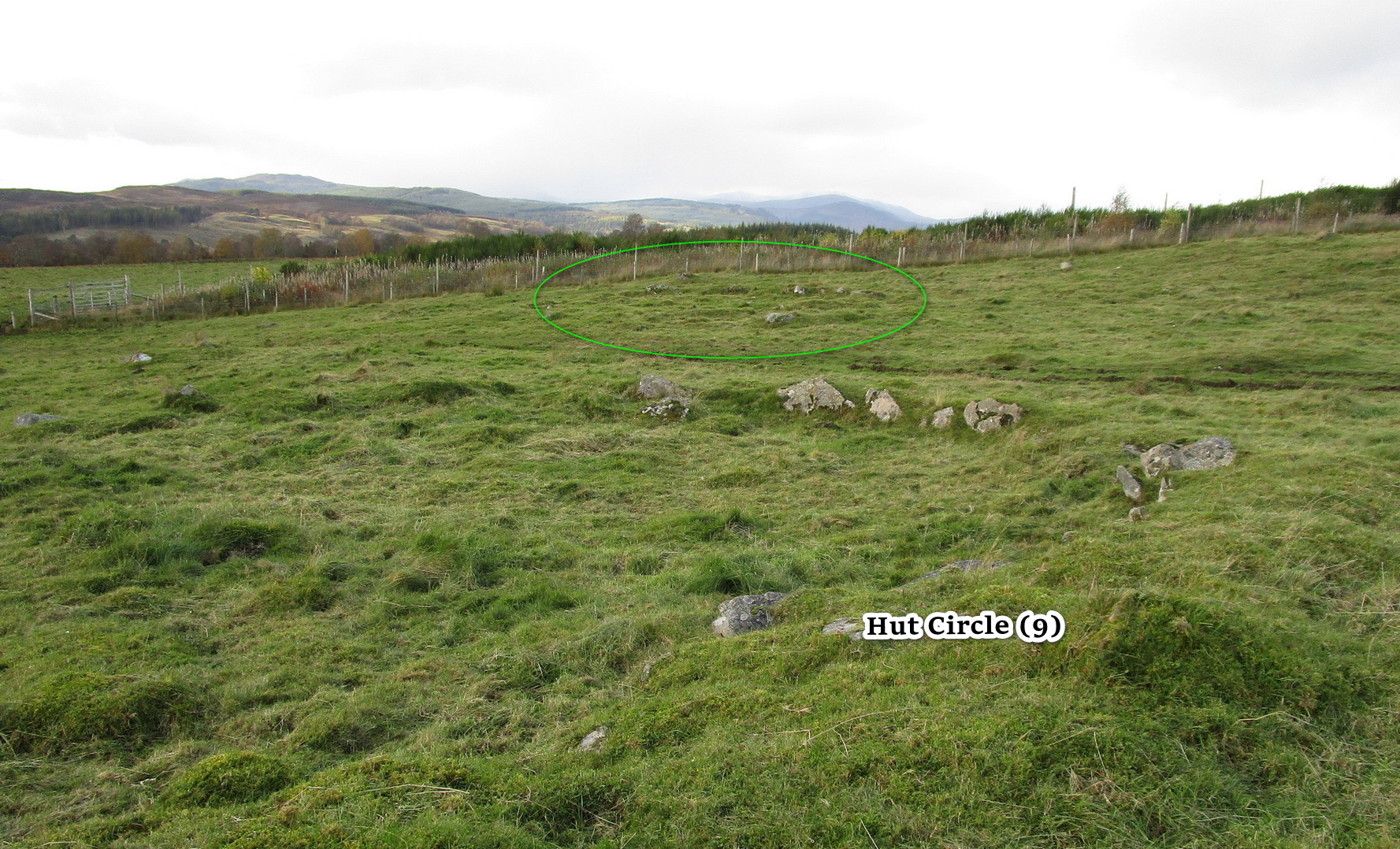
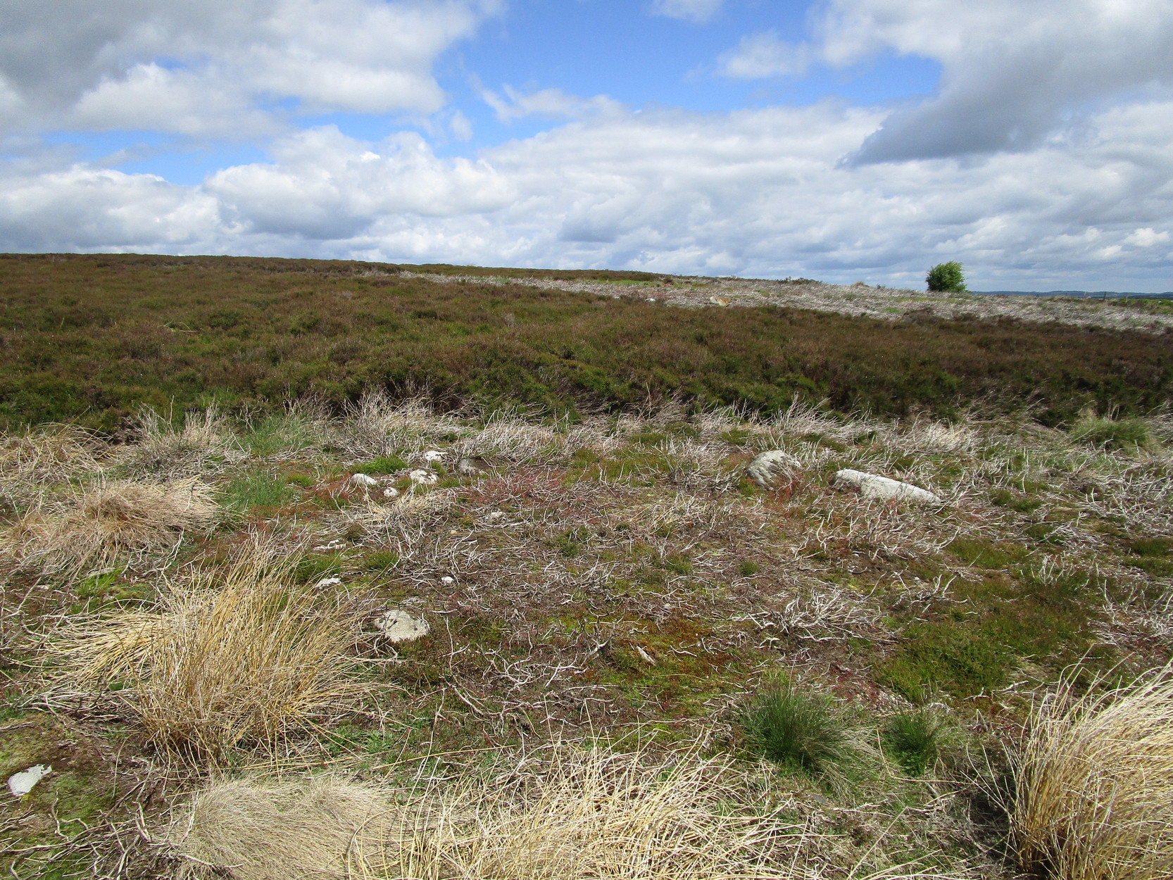
Along the A924 Strathardle road, a couple of miles south of Kirkmichael, about 100 yards south of the Balnabroich standing stone, look out for the dirt-track that runs up the slope on the east side of the road. Go up here, past Stylemouth house and further up the track where it opens out into the fields. Keep heading up the same track and you’ll notice on the near skyline a few hundred yards ahead of you, a mass of stones with a tree growing out of it. That’s the Grey Cairn; and about 75 yards below it, just to the right-side of the path low down in the grasses, you’ll see this hut circle.
Archaeology & History
In an upland area that is literally teeming with ancient remains, this is a good place to start if you’re wanting a day out exploring. It’s the best and easiest of the hut circles to find and is a good indicator of what to look for when you’re seeking out the others close by. This particular prehistoric house has been noted in various books and essays: firstly by the great Scottish antiquarian John Stuart (1868) in his overview of the great mass of sites hereby, saying simply:
“A hut circle on the south-west of the Grey Cairn was dug into around the entrance, in the belief that in this situation articles would probably have been thrown out, but with no result. In the centre, charred wood and minute fragments of bones were found.”
Looking from aboveArc of walling north to east
The great Christian MacLagan (1875) came to survey the area shortly after Stuart’s visit, making a series of sketches of some of the circles. She noted fourteen huts hereby, but it’s not totally clear which of them is this particular “hut 9”. It seems to have been her hut circle no.13, which she told “has a central chamber 40 feet in diameter, and its wall is 10 feet broad.” This is pretty close to our modern measurements. From outer wall to outer wall, its east-west axis measures 47 feet, and its north-south axis measures 49 feet. The most notable section of the walling is on is northern and eastern sides where it is deeply embedded into the ground.
When you’re sitting in this hut circle, eating your sandwich or drinking your juice, remember that thousands of years ago someone was doing exactly the same thing in the place where you’re now sat!
Just 70 feet away is hut circle no.10 in this cluster; whilst above this is the massive prehistoric rock pile of the Grey Cairn; and the smaller earth-covered mound above you to the right is another prehistoric burial. A small stone circle is on the moorland level beyond that… There’s plenty to see here.
References:
Coutts, Herbert, Ancient Monuments of Tayside, Dundee Museum 1970.
Harris, Judith, “A Preliminary Survey of Hut-circles and Field Systems in SE Perthshire”, in Proceedings Society Antiquaries, Scotland, volume 114, 1984.
MacLagan, Christian, The Hill Forts, Stone Circles and other Structural Remains of Ancient Scotland, Edmonston & Douglas: Edinburgh 1875.
Royal Commission on the Ancient & Historical Monuments of Scotland, North-East Perth: An Archaeological Landscape, HMSO: Edinburgh 1990.
Stuart, John, “Account of Excavations in Groups of Cairns, Stone Circles and Hut Circles on Balnabroch, Parish of Kirkmichael, Perthshire,” in Proceedings Society Antiquaries, Scotland, volume 6, 1865.
Thorneycroft, Wallace, “Observations on Hut Circles near the Eastern Border of Perthshire, north of Blairgowrie,” in Proceedings Society Antiquaries, Scotland, volume 67, 1933.
Acknowledgements:Huge thanks for use of the Ordnance Survey map in this site profile, reproduced with the kind permission of the National Library of Scotland.
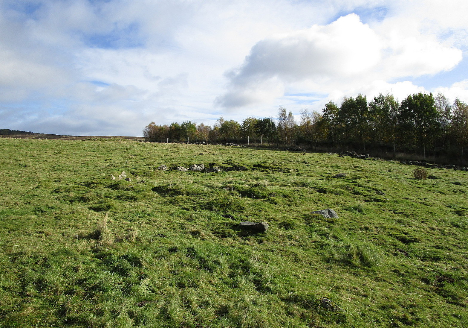
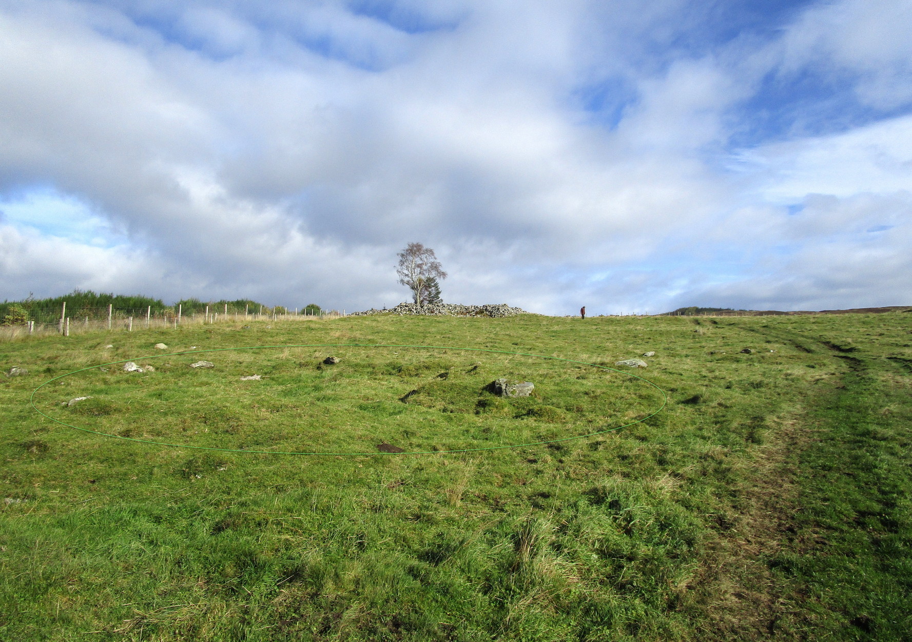
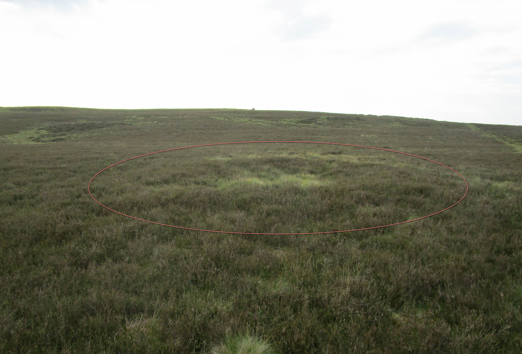
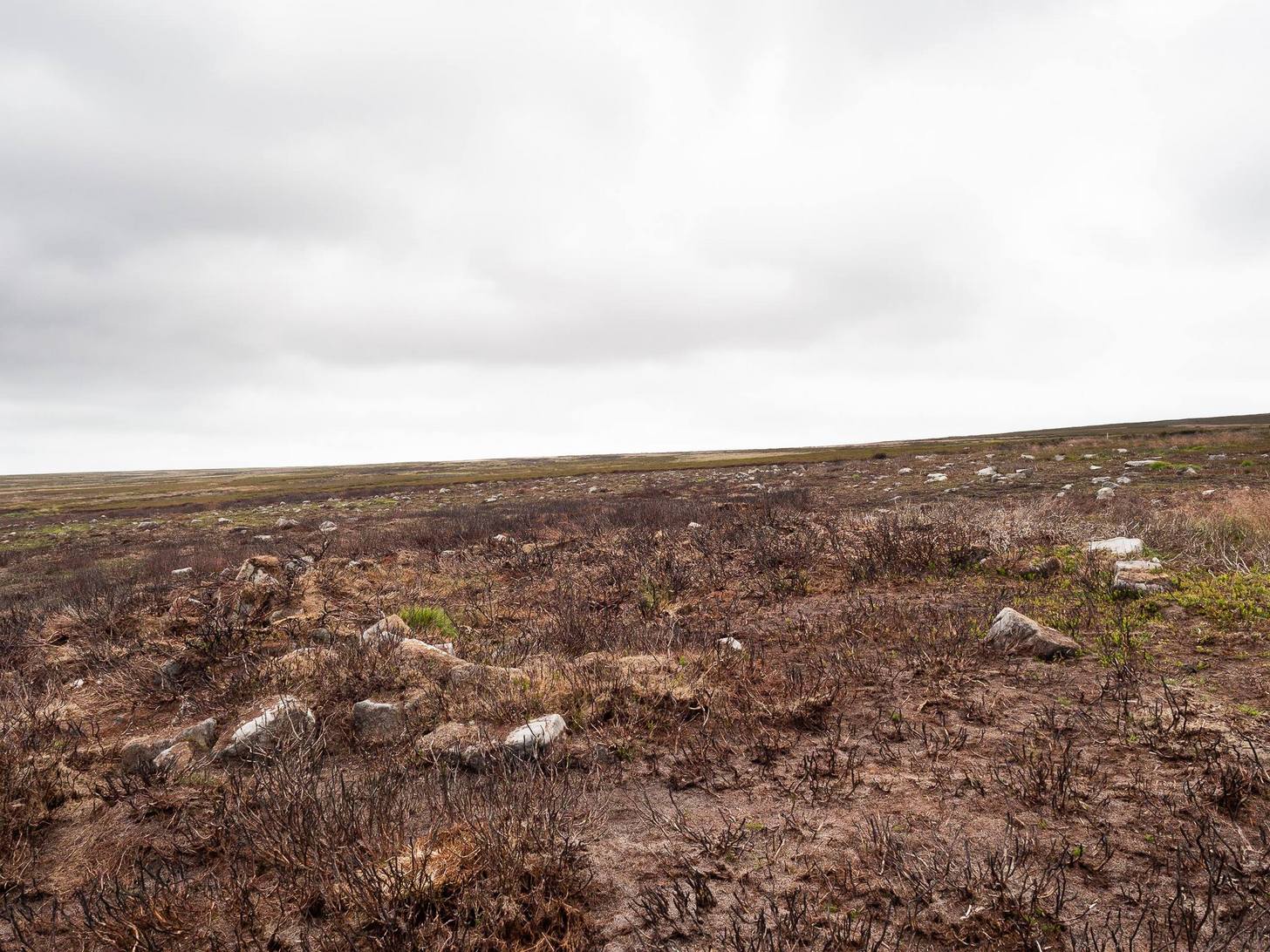
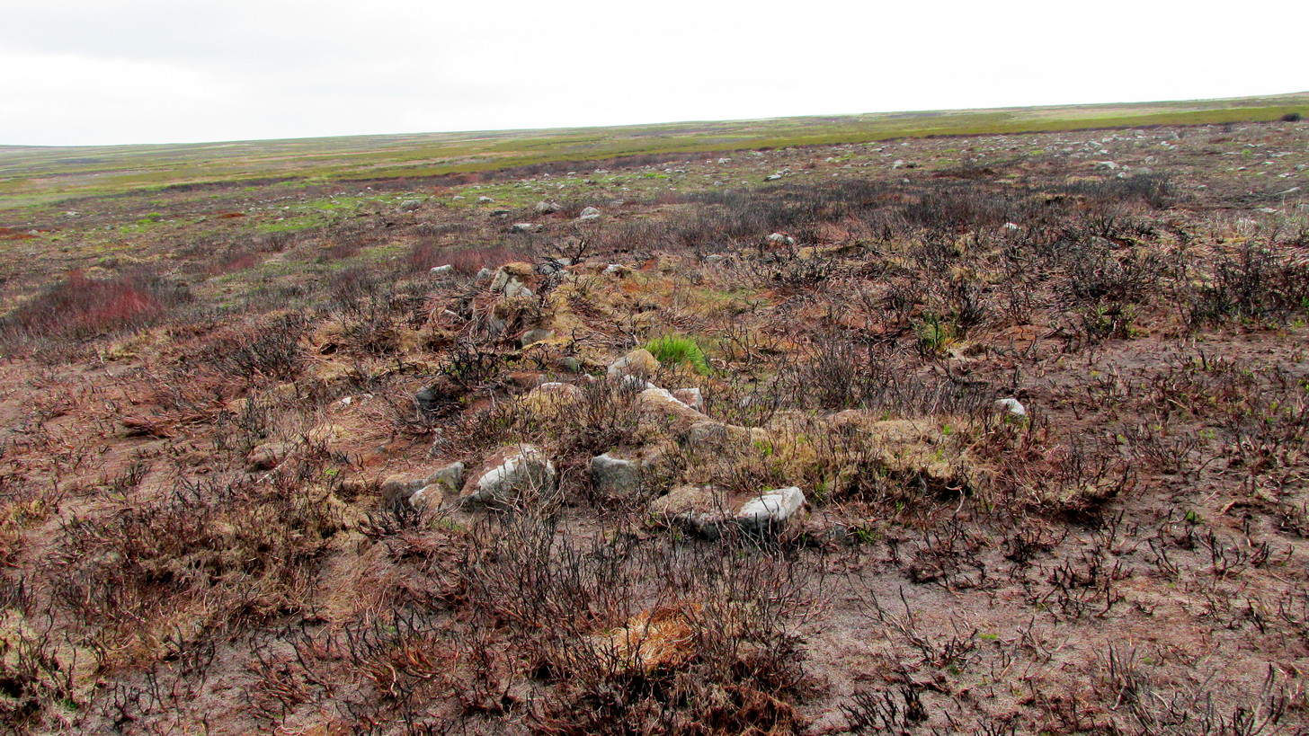
From Kirkmichael to the Balnabroich standing stone, take the same directions as if you’re heading up to the Balnabroich hut circle (9). Just over 20 yards NNW of it, on the other side of the faint footpath that takes you to the Grey Cairn, look closely at the ground and you’ll see a broken oval of stones in the grasses.
Archaeology & History
This can be difficult to see in poor light, and I found it easier to look at from above, closer to the Grey Cairn.
Hut remains, circled
It’s one of the twenty (known) hut circles in this archaeologically rich neck o’ the woods. Nothing special to look at, but it is perhaps 4000 years old! This one seems to have been listed by Christian MacLagan (1875) as her hut circle no.12 and which she described briefly, telling that “the central chamber of this circle is 36 feet in diameter, and the surrounding wall is 15 feet broad.” Much of the walling would seem to have been stripped away considerably since MacLagan’s time. The faded remains of its entrance can be seen on its southwestern side.
References:
Coutts, Herbert, Ancient Monuments of Tayside, Dundee Museum 1970.
Harris, Judith, “A Preliminary Survey of Hut-circles and Field Systems in SE Perthshire”, in Proceedings Society Antiquaries, Scotland, volume 114, 1984.
MacLagan, Christian, The Hill Forts, Stone Circles and other Structural Remains of Ancient Scotland, Edmonston & Douglas: Edinburgh 1875.
Royal Commission on the Ancient & Historical Monuments of Scotland, North-East Perth: An Archaeological Landscape, HMSO: Edinburgh 1990.
Stuart, John, “Account of Excavations in Groups of Cairns, Stone Circles and Hut Circles on Balnabroch, Parish of Kirkmichael, Perthshire,” in Proceedings Society Antiquaries, Scotland, volume 6, 1865.
Thorneycroft, Wallace, “Observations on Hut Circles near the Eastern Border of Perthshire, north of Blairgowrie,” in Proceedings Society Antiquaries, Scotland, volume 67, 1933.
Acknowledgements:Huge thanks for use of the Ordnance Survey map in this site profile, reproduced with the kind permission of the National Library of Scotland.
If you’re coming here you’re obviously making a day out of it! You’ll be taking the shortest route to the Ardoch (2) petroglyph, via the Foulford golf course along the A822, roughly halfway between Gilmerton and the entrance to the Sma’ Glen. From here, take the track eastwards into the hills, and literally ¾-mile along you reach the pylon; keep along the same track for another 200 yards and on your left watch out for the track-cum-footpath going up the slope past the petroglyph, onto the hilltop, then through the gate and down the path for about ⅔-mile until you reach the burn. On the other side, go through the gate and 100 yards uphill through another one, walk immediately to your left alongside the fence. About 20 yards from the wall, look at the ground. Zigzag about!
Archaeology & History
Two distinct but very overgrown hut circles sit next to each other on the first ridge above the burn. When they were first built—sometime in the Bronze Age most likely—the landscape here was slightly different to what we see today. Scattered woodland of hazel, birch and Scots pine lived all across these hills and the small burn 100 yards below would have been much faster flowing, with trout and smaller fish in plentiful supply. The large cup-marked stone between the burn and these huts would have had some magico-religious meaning to the people living here. Indeed, it may have been carved by the people who built the huts, or they might have rested here due to its presence. I point out these simple ingredients to give a little more life to a site which, today, seems so isolated, lonely and unimpressive. It’s essential that we paint the history of this and all our ancient monuments with the colourful shades they lived within: of the forests and their animals, so as to give these seemingly bland lifeless remains a feeling in order to rekindle their history.
Apart from the large petroglyph less than 100 yards below, these hut circle are apparently in isolation if we go by the record books. And they’re difficult to make out when the grasses are tall—as they were when I visited recently. They are both roughly the same size—about 11 yards across—and, most likely, each housed a small family. The one closest to the wall is the slightly smaller of the two. It was first reported by Miss Comrie (1972) who initially only noticed one of the two huts—probably due to the long grasses. She told that,
“On an area known as Buchanty Hill at 1000ft is a hut circle with a diameter of 11mand wall width of 2m. Situated in a hollow, sheltered from the north and with an entrance on the downward-side facing south. The walling has no obvious inner or outer facing.”
On my visit to this place, the silence was deafening and the fading daylight painted the hills with a stunning velvet breath all across the veil of Her body. It’s a gorgeous isolated place that you might aswell sit down with after you’ve finished looking at the rock art…
References:
Comrie, J.E.M., “Fowlis Wester Parish: Hut Circle,” in Discovery & Excavation, Scotland, 1972.
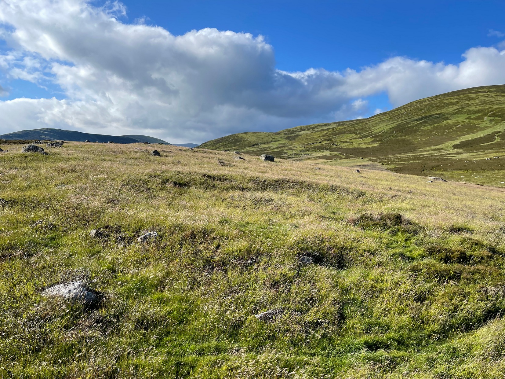
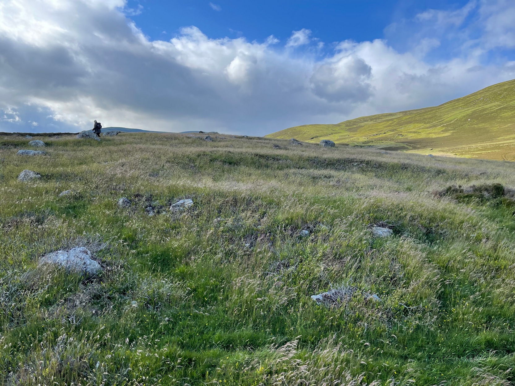
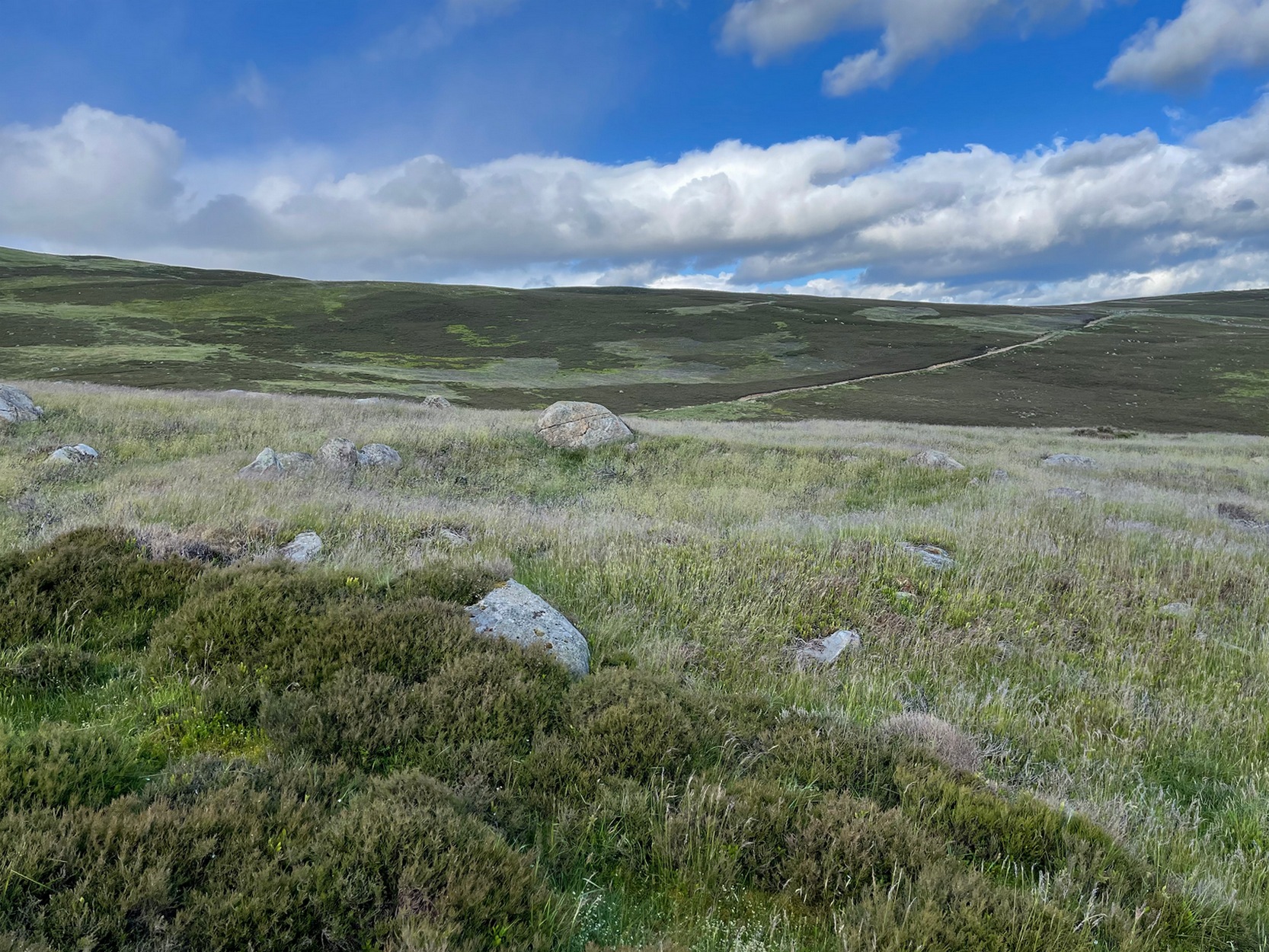
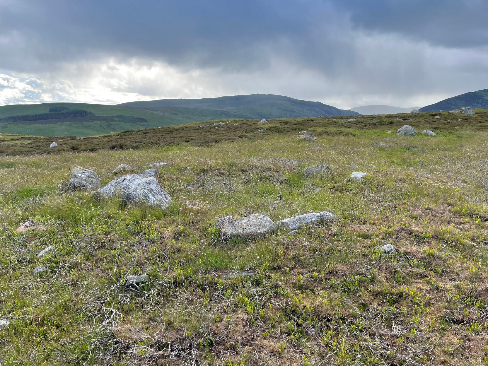
From Alyth, take the B954 road north to Glen Isla, or from Kirriemiur northwest up the B951. Whichever your route, once you pass the Kirkton of Glenisla about 10 miles up, make sure you DON’T cross the river bridge a mile past here—instead take the tiny right-turn just before the bridge and go up here (past Folda) for just over 2 miles and then park up where the signpost tells Cateran Trail (if you’ve crossed the next river bridge, you’ve gone 150 yards too far). Walk up the track and, after a mile, it levels-out just where it swerves to go back downhill. Once here, walk off the track and up onto the moorland on your right (south) and where the land levels out, zigzag around, keeping your eyes peeled for the circular stone enclosures. There are several of them.
Archaeology & History
On the way back from seeking out a forgotten holy well at Auchenchapel in the hills above Glen Isla last week, I stumbled across a small group of hut circles which, it turns out, weren’t in the record books. Unfortunately I found them near the end of the day, so it was a bit of a rush-job zooming back and forth taking quick photos of what was there, i.e., at least three hut circles, probably Iron Age in origin (although I’ve seen Bronze Age circles just like these) constructed very close to each other, with a possible fourth one buried in deeper heather nearby. The circles have been built on a high exposed ridge linking Glen Isla to Glen Clova a few miles to the east, but when these were built this area would obviously have possessed a good cover of birch, hazel and other trees, protecting the structures from the elements.
Hut circle (1) looking NWGolan Well hut circle (1)
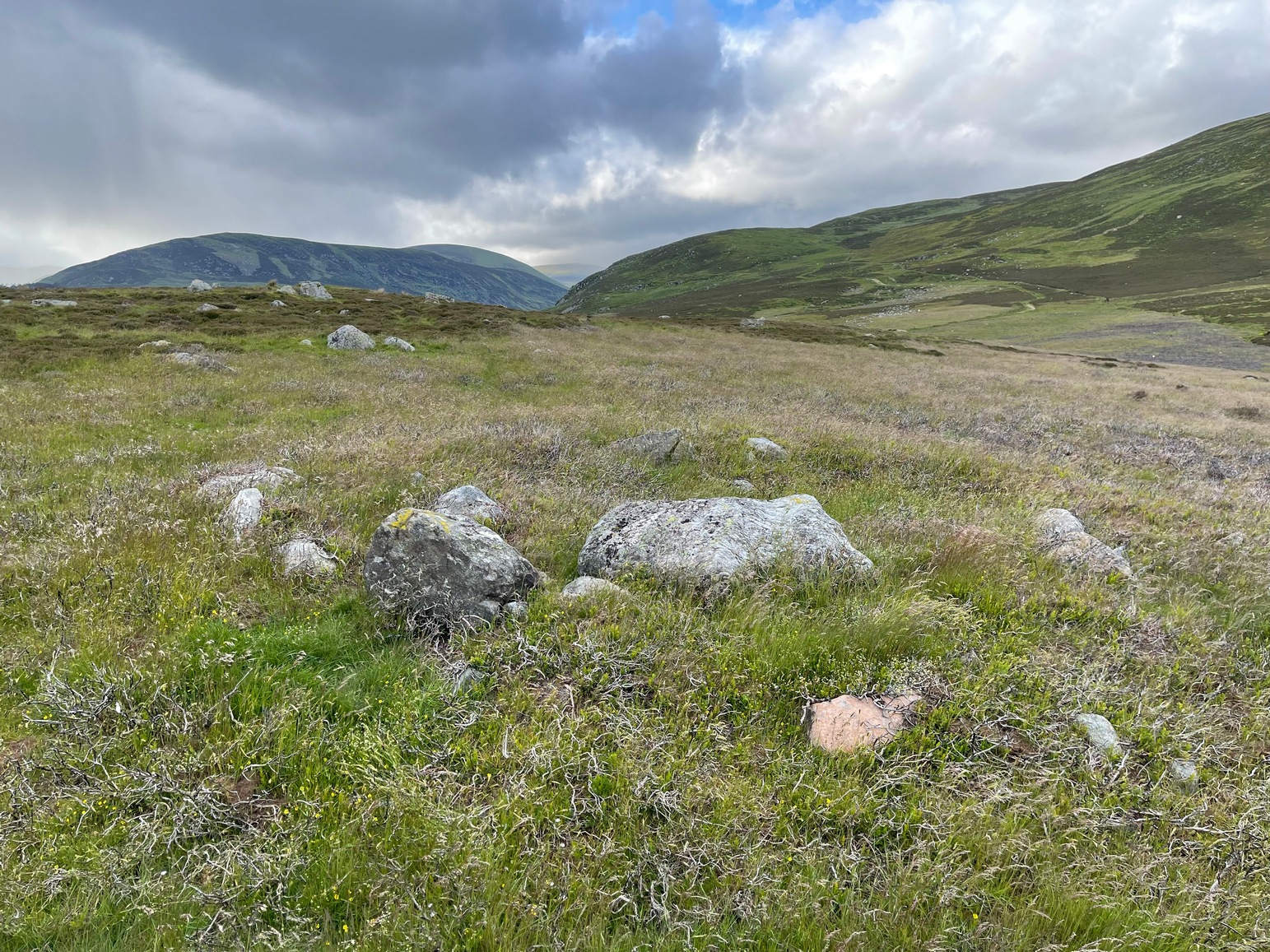
The first one—hut circle (1) (at NO 19765 65581)—has been built and cut into a slight slope in the hillside, with the floor inside obviously leveled out. Measuring roughly 16 yards across from outer wall to outer wall, the entrance to the building seems to be on the eastern side and the average height of the walling all round is roughly 2 feet. On the whole the structure is in very good condition, with hardly any damage done despite its great age. It was obviously built for a single family, but was no doubt used over and over for many centuries.
Hut circle (2) looking NEHut circle (2) looking SW
The second of the circles (at NO 19741 65590) is just 15-20 yards away to the northwest. Slightly smaller than hut circle (1) and also built into slightly sloping ground, its walls are a little more sturdy and slightly wider than its compatriot and were built around at least two earthfast boulders making it structurally much stronger. Measuring roughly 15 yards across from outer wall to outer wall, the entrance to this circle is at the southeast. Once again, this would have been perfect for a single family to live in.
Hut circle (3) looking NWThe small hut circle (3)
The third of the hut circles found this day was the smallest of the group and suggests that it would have housed only one person. The stones making up this small circle are unusually large for such a small structure, which made me think at first that it may have been a cairn—but the more I looked, the more I realized that this wasn’t the case. Somewhat more oval in shape than the other two, unlike its compatriots some parts of the walls seem to have been disturbed and knocked down to the side. The poor little fella measures only 8 yards across, but its walls were still nice and sturdy being roughly a yard wide all round.
Line of ancient walling
What seemed to be a fourth hut circle was covered in deep heather close to the cluster of three, but we need another visit here to work out whether this suspicion is correct or not. Much more certain is the existence, less then a hundred yards northwest of here, of a very distinct line of ancient walling, about a yard wide, suggesting that the hut circles were encircled by a much larger enclosed structure. I paced along this walling for 60 yards, whereafter it disappeared into the heather.
It’s extremely likely that other unrecorded prehistoric remains are still to be found in this area. So get y’ walking boots on and get that nose of yours a-twitching across these ‘ere ancient hills!
Acknowledgements:Huge thanks for Prof. Paul Hornby, for getting us up here and having another fine day on the hills…
From Alyth, take the B954 road north to Glen Isla, or from Kirriemiur northwest up the B951. Whichever route you take, goes for miles, then past the Kirkton of Glenisla for another mile make sure you DON’T cross the river bridge—instead take the tiny right-turn just before the bridge and go up here (past Folda) for just over 2 miles and park up where the signpost tells Cateran Trail (if you’ve crossed the next river bridge, you’ve gone 150 yards too far). Walk up the track for a mile where it just about levels-out, before swerving back downhill again and, shortly after crossing a burn, turn right and head downhill into the heathlands. About 350 yards down, right beside the track, this overgrown hut circle lives! Y’ can easily walk straight past it if you’re not careful.
Archaeology & History
The hollowed hut circle
In a beautiful setting, this good-sized Iron Age hut circle (possibly earlier), roughly fourteen yards across, sits within a wider archaeological environment of human settlements all round here from medieval and later periods, most of which has almost entirely disappeared beneath the vegetation on these gorgeous moorlands. It’s one of a number of remaining prehistoric circles that still live amidst the later remains and would have housed a good-sized family or two. The walls alone are roughly six-feet thick all round, making it a very solid building indeed! In all likelihood, other hut circles have been torn down for use in the construction of the later medieval buildings nearby. Thankfully, like the very well-preserved cluster up the slope above Golan Well, this one survived.
Take the B6362 high road between Lauder and Stow and, regardless of which direction you’re coming from, when you reach the top heights of the moorland road with views all around, you need to keep your eyes peeled for where a dirt-track runs south and, diagonally across the road on its north side, is a dirt-track-cum-parking-spot. Park up here and walk 10 yards or so into the heather on your left. You’re probably stood at the side of it!
Archaeology & History
Hut circle (ringed) looking N
A very distinct, but isolated hut circle can be seen here when the heather is short. It’s most notable by seeing the slightly elevated circular rise in the ground with the rough ring of long grasses in the middle of it. To be honest, unless you’re a mad archaeo-geek into these sort of things, it’s not gonna send a rush of blood to your head.
Probably constructed in the Bronze Age, it’s a plain little thing about six yards across, making it suitable for perhaps just a couple of folk to have lived in. The overgrown walling is very low (between 12-18 inches high) and about a yard wide all the way round it. The main thing that you’ll get from this place is not only the sense of isolation, but the beautiful view…
Along the only road that crosses Askwith Moor, park up at the single carpark on the east-side of the road. Walk up the road for 350 yards and through the gate on the left-hand (west) side of the road onto the moorland. Once through the gate, walk directly west into the heather immediately below the path for some 25-30 yards. Look around!
Archaeology & History
Rediscovered by Helen Summerton in May 2022 are at least two simple hut circles on this level piece of land close to the roadside, amidst this much wider and impressive prehistoric landscape.
The small ring of stones (SE 17430 50978) closest to the road is slightly more troublesome to make out due to it being more deeply embedded in the peat than its companion about 30 yards away. Comprising of typically small rubble walling, this first circle is only 4 yards across and would certainly have been fine for one person or, at a push, perhaps a small family.
Askwith Moor hut circle (2)Askwith Moor hut circle (2)
Its companion immediately west (SE 17401 50953) is somewhat larger and slightly more elongated in shape, being 10 yards along and 5-6 yards across, as well as being in a better state of preservation. This larger hut circle has been raised on a notable artificial earth-and-rubble plinth, being one or two feet higher than the surrounding peatland. A notable internal stretch of walling only a yard or two in length exists within the southeastern side of the construction, whose nature can only be discerned upon excavation: an issue we can say applies to the many prehistoric settlements and tombs across this small moorland. It’s very likely that other settlement remains will be found close to these two hut circles.
The remains of another hut circle can be found closer to Shooting House Hill, several hundred yards away; whilst five hundred yards southwest we find a small but impressive cairnfield. There are also a good number of petroglyphs close by and on much of the surrounding landscape.
Acknowledgments: Huge thanks to Helen Summerton (not Winterton) for finding these ‘ere remains – and for the photos accompanying this site profile.
Take the same directions as if you’re going to visit the Black Beck cairn. From here, walk through the heather northwest for about 60 yards. If the heather’s been cleared, you’ll see it low down, otherwise you’re pretty much screwed when it comes to finding this one!
Archaeology & History
Seemingly in isolation, this low-walled, D-shaped hut circle is presently the only the structure of its kind known to exist on this part of Hawksworth Moor; although to be honest we should expect there to be such structures in the area when we consider the size and proximity of the associated cairnfields immediately north and southeast of here.
Southern arc of wallingNW section of walling; Black Beck tomb to rear
As with most hut circles, it’s nowt special to look at in all honesty. The south side of the structure is rubble walling typical of these structures, curving round as usual; but its more northern section straightens out, creating a D-shaped structure. This line of straight walling seems attached to another, outer parallel wall 3 feet away, creating its very outer edge. The rubble walls themselves average three feet across; whilst the hut circle measures 6-7 yards across. We assume that it was constructed during the same period as the adjacent prehistoric necropolis.
Acknowledgements: With huge thanks, as always, for James Elkington for use of his photos. Also to the evolving megalith and landscape explorer Mackenzie Erichs; and to Linzi Mitchell, for additional input…