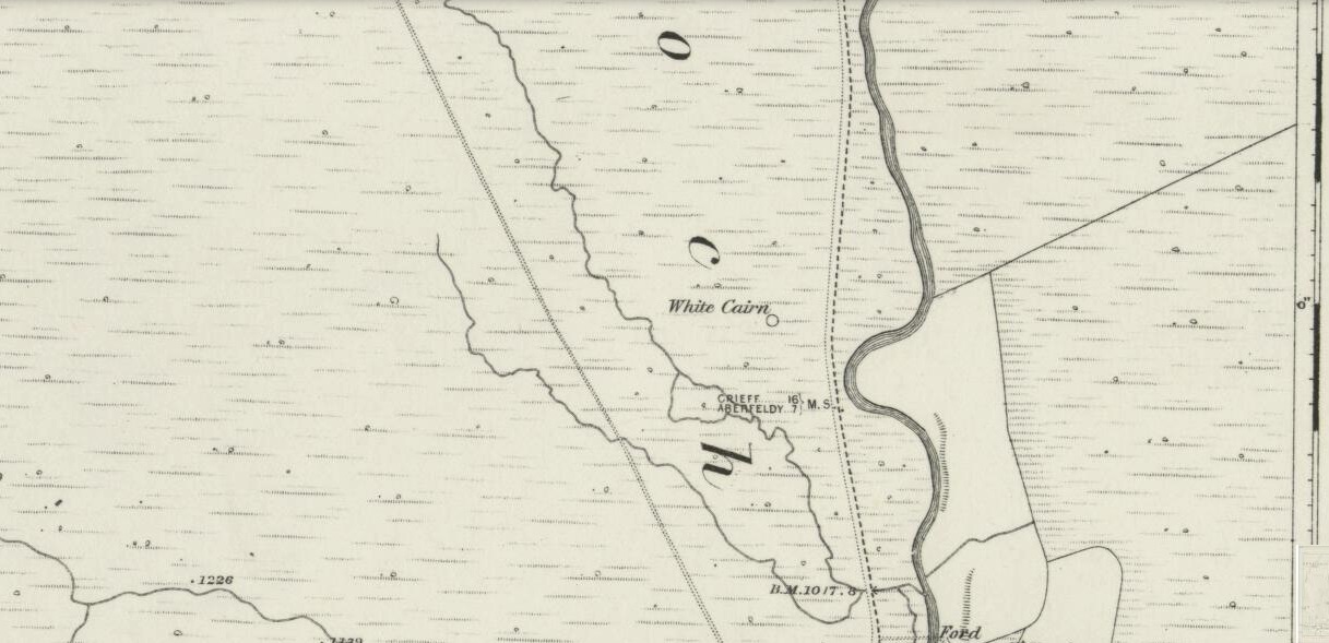
Hut Circle: OS Grid Reference – NN 90324 41487
Glen Cochill Circle – No.1
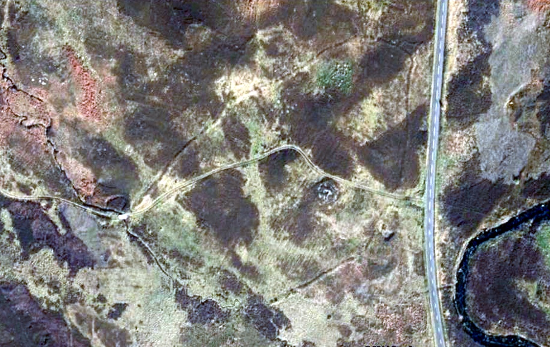
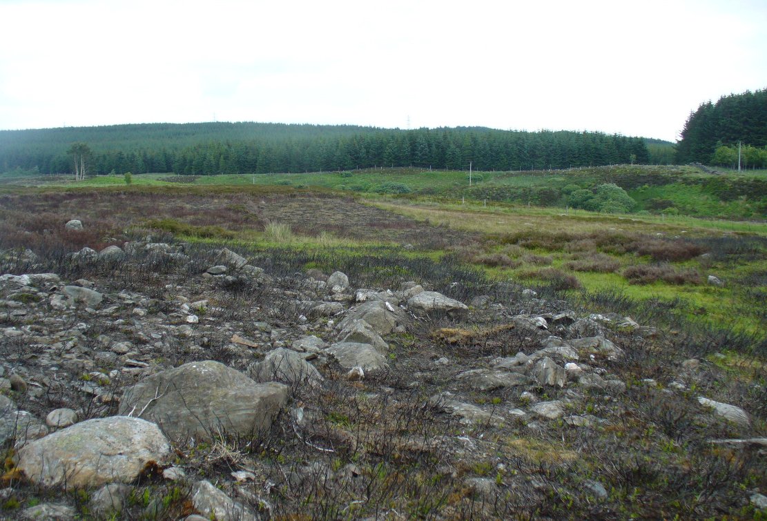
Take the same directions to reach the impressive Carn Ban prehistoric tomb. From here, walk along the winding track past the giant cairn onto the moors for about 350 yards, until the track goes dead straight and heads NNW uphill. Walk up here for another 350 yards keeping your eyes peeled on the rounded pyramidal hill with the large rock on top. The circle is 20 yards off the track as you head up to the pyramidal hill stone.
Archaeology & History
Although this site is mentioned in notes by the Scottish Royal Commission and highlighted by Ordnance Survey, information thereafter is pretty scarce. Which is surprising when you check this place out first-hand. It’s bloody impressive! David Cowley (1997) describes the area, but not in much detail.
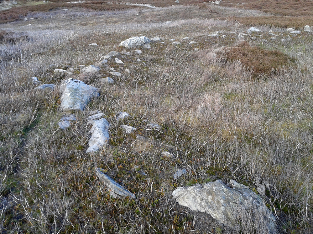
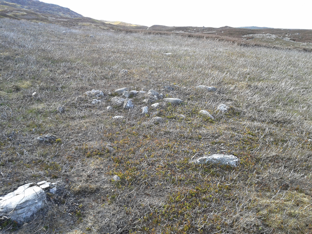
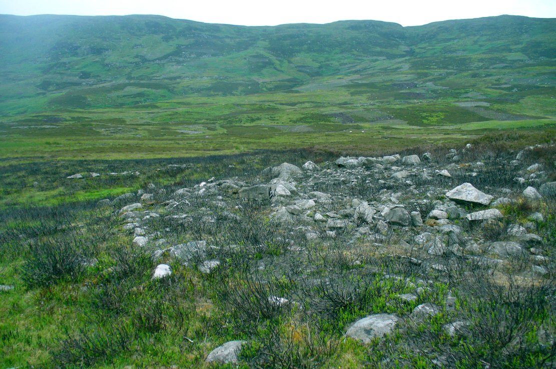
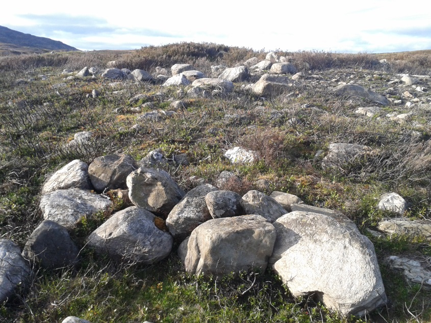
Northern arc of walling
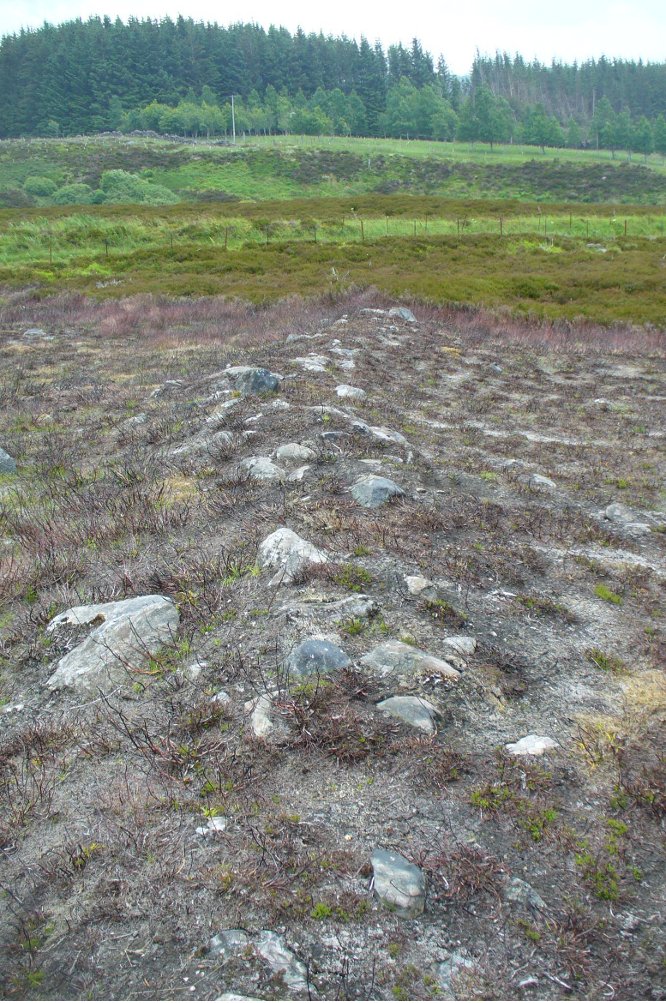
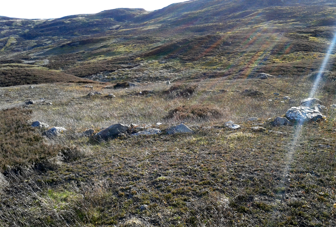
Eastern arc of walling
The circle seems to have been rediscovered first of all by the dowser J. Scott Elliott (1964), who thought it was a cairn circle – which is understandable. However, it has been classified by the Royal Commission lads as a “hut circle”, so we’ll stick with that for the time being.
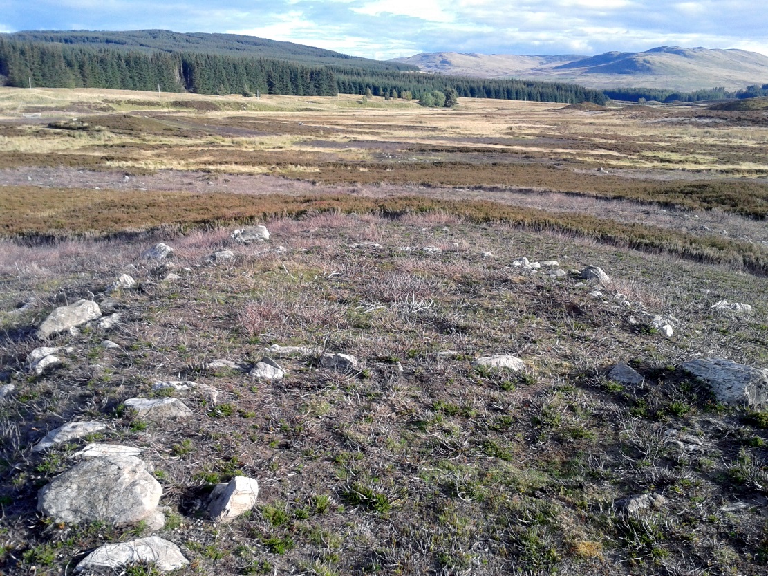
An entrance to the circle doesn’t stand out. There may be one on the southeastern side, but this isn’t clear; and what looked like a possible entrance on its northern edge was discounted, as a larger stone blocked this on the outside. There was no immediate evidence of any internal structure, no hearth, no tomb – merely a small stone at its centre, deeply embedded in the peat. This may, however, cover a central cist – which would make this a cairn circle and not a large hut circle. But that’s guesswork on my behalf!
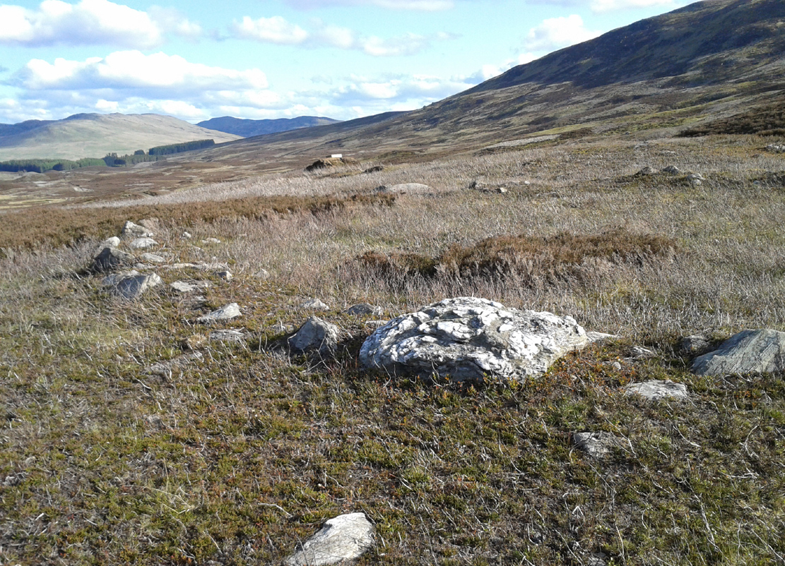
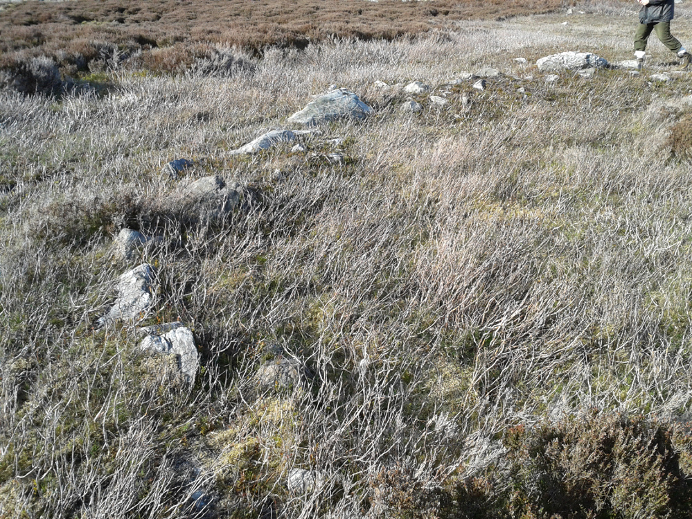
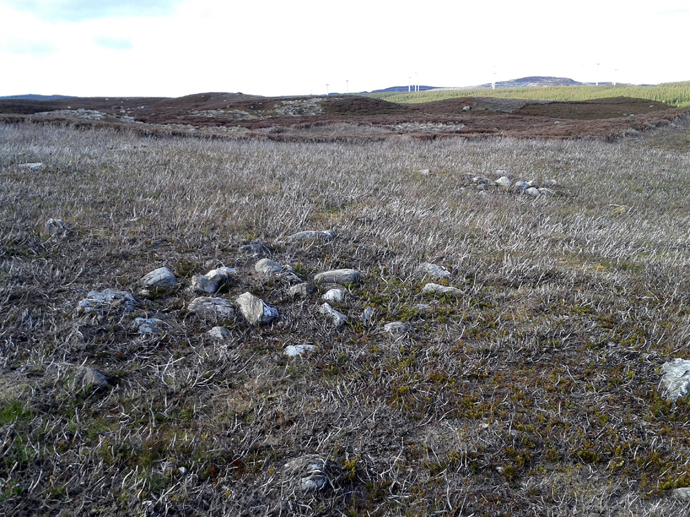
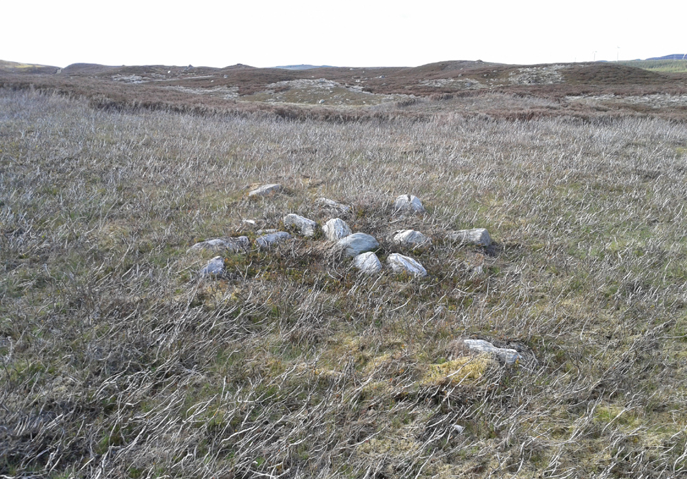
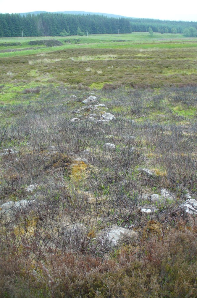
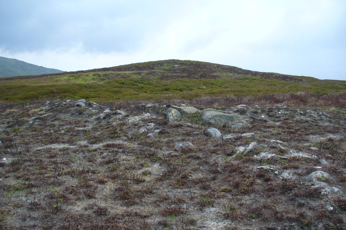
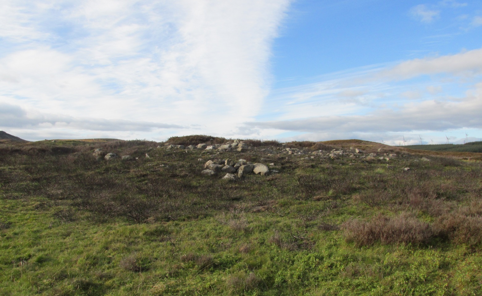
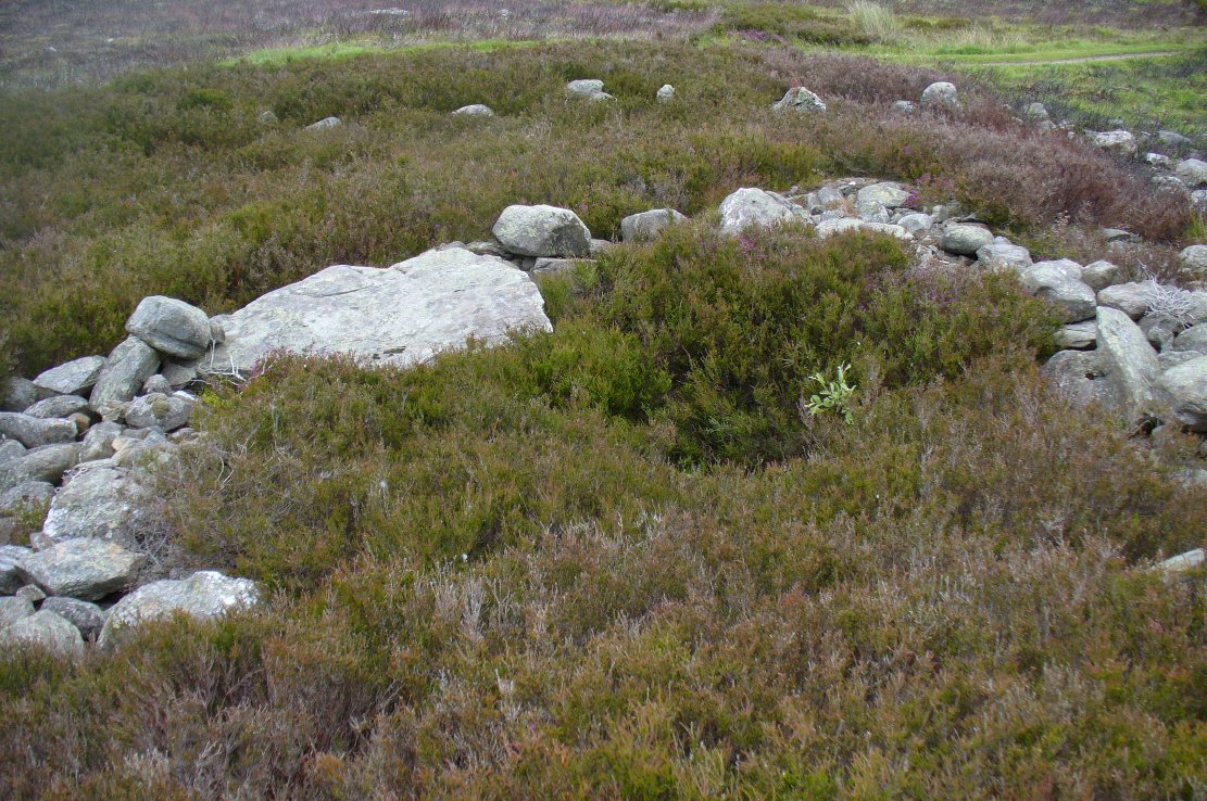
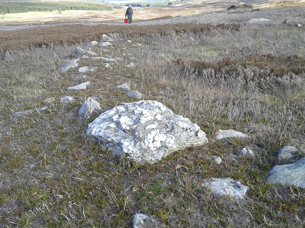
Never excavated, what we’ve got here is a very well-preserved, large ring of stones, more typical of Pennine and Derbyshire ring cairns than any standard hut circles. But this is Scotland we’re talking about! This impressive ring measures outer-edge to outer-edge 12 yards in diameter (north-south), by 11 yards (east-west), with the stone walling that defines the ring being between 3 and 4 feet across all round, and between 1-2 feet high. And it’s in damn good nick! More similar in structure to the likes of Roms Law, a number of notably large stones define the edges, but many hundreds of smaller packing stones build up the ring walls. Of the larger rocks in the ring, the most notable one is a large white quartz crystal stone on its NNE side.
Quartz rock reflects the sun, looking W
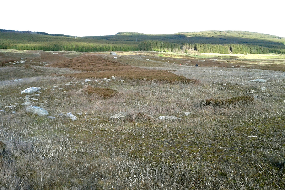
It’s an impressive site whatever it may be! – in very good condition for its age (Bronze Age by the look of it) and, whilst still visible above the heather, well worth checking out if you like your stone circles and prehistoric rings. The small prehistoric graveyard 30-40 yards south and east, plus the extensive settlement systems all over these moors are all worth exploring if you visit this place.
References:
- Cowley, David C., “Archaeological Landscapes in Strathbraan,” in Tayside & Fife Archaeological Journal, volume 3, 1997.
- Scott-Elliot, J., “Kinloch House, Amulree,” in Discovery & Excavation in Scotland, 1964.
- Scott-Elliot, J., Dowsing – One Man’s Way, Neville Spearman: London 1977.
Links:
Acknowledgements: Many thanks to Mr Paul Hornby for his help, as usual. Cheers fella!
© Paul Bennett, The Northern Antiquarian