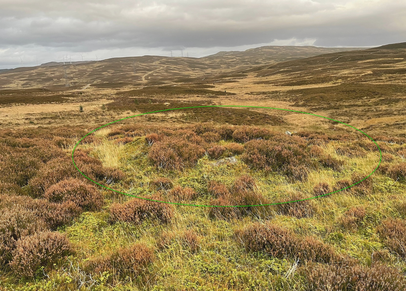
Hillfort: OS Grid Reference – NT 96706 28252
Also Known as:
- Cup and Saucer Camp
Archaeology & History
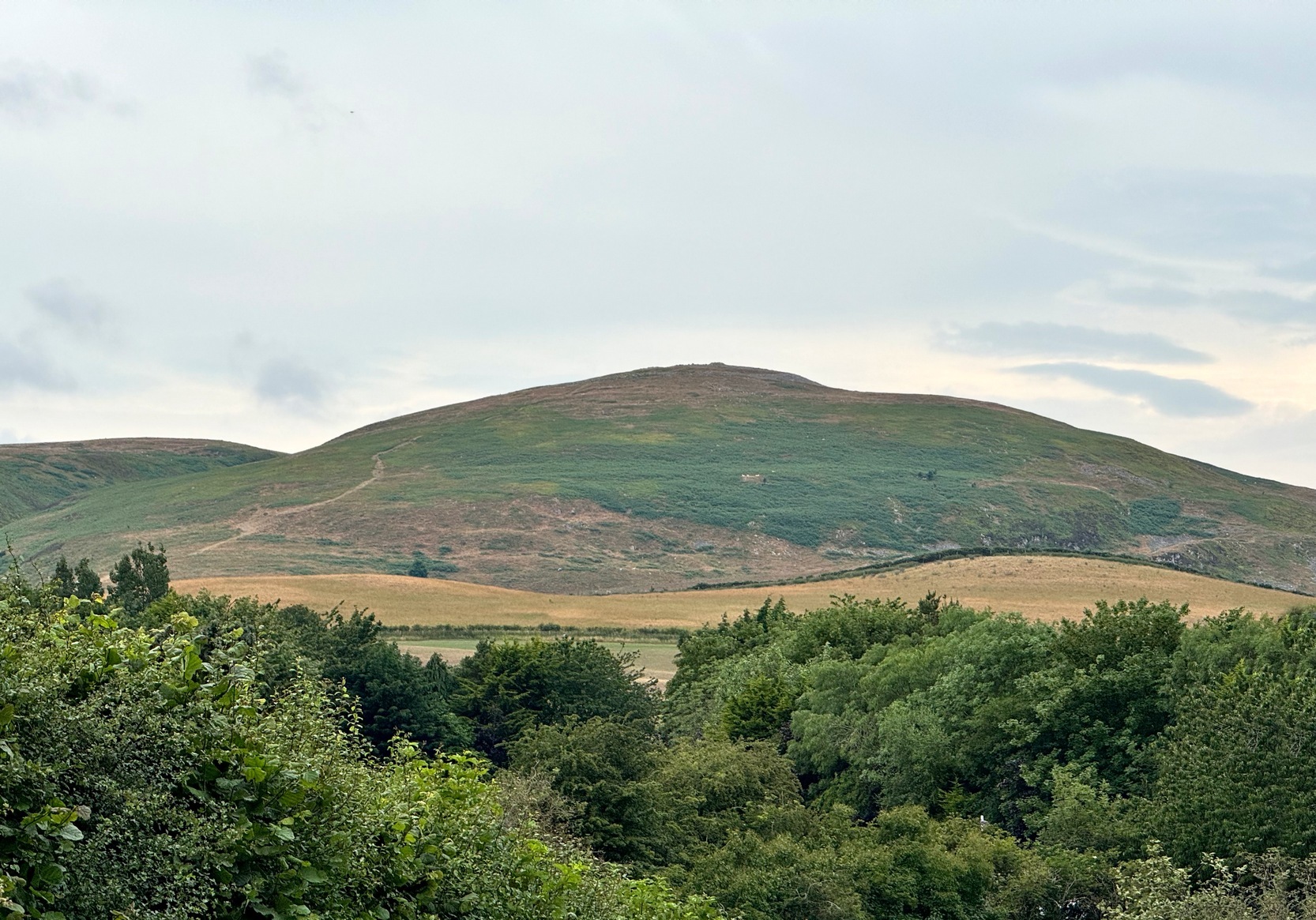
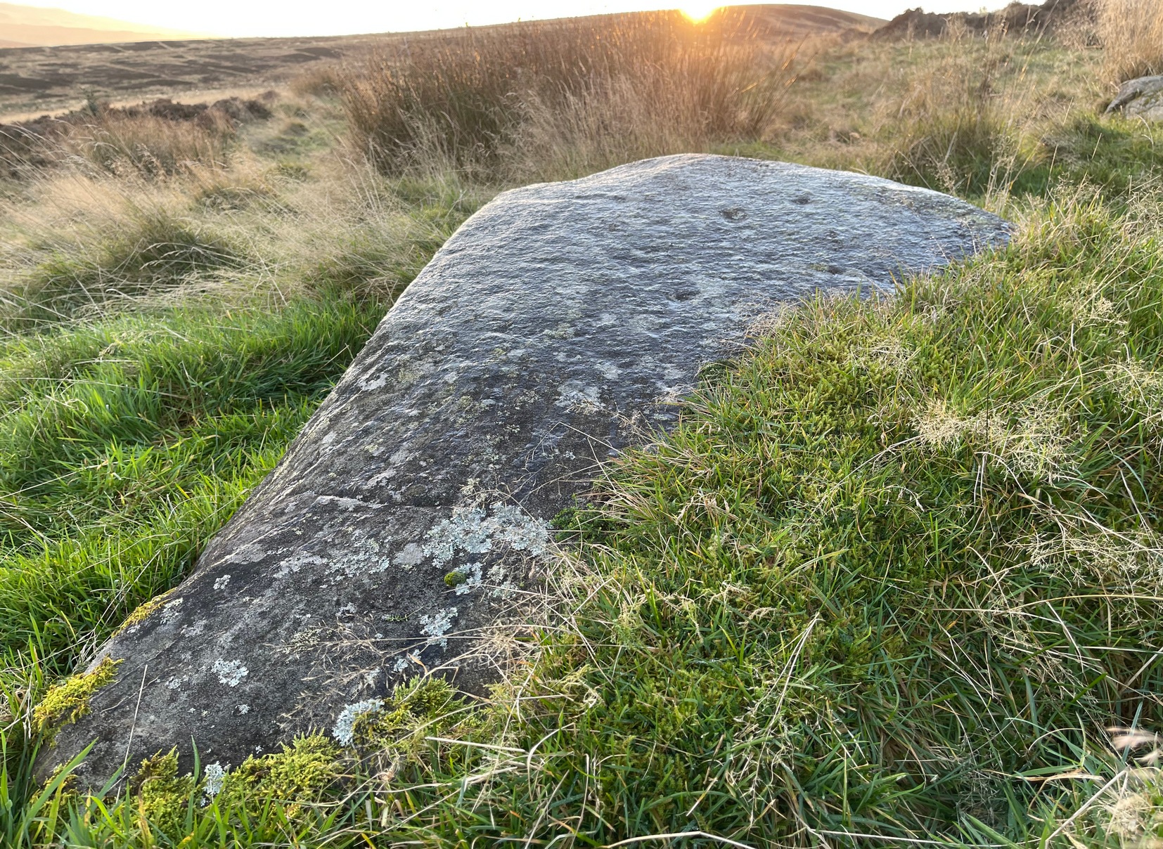
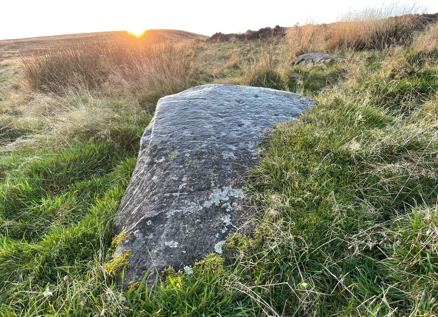
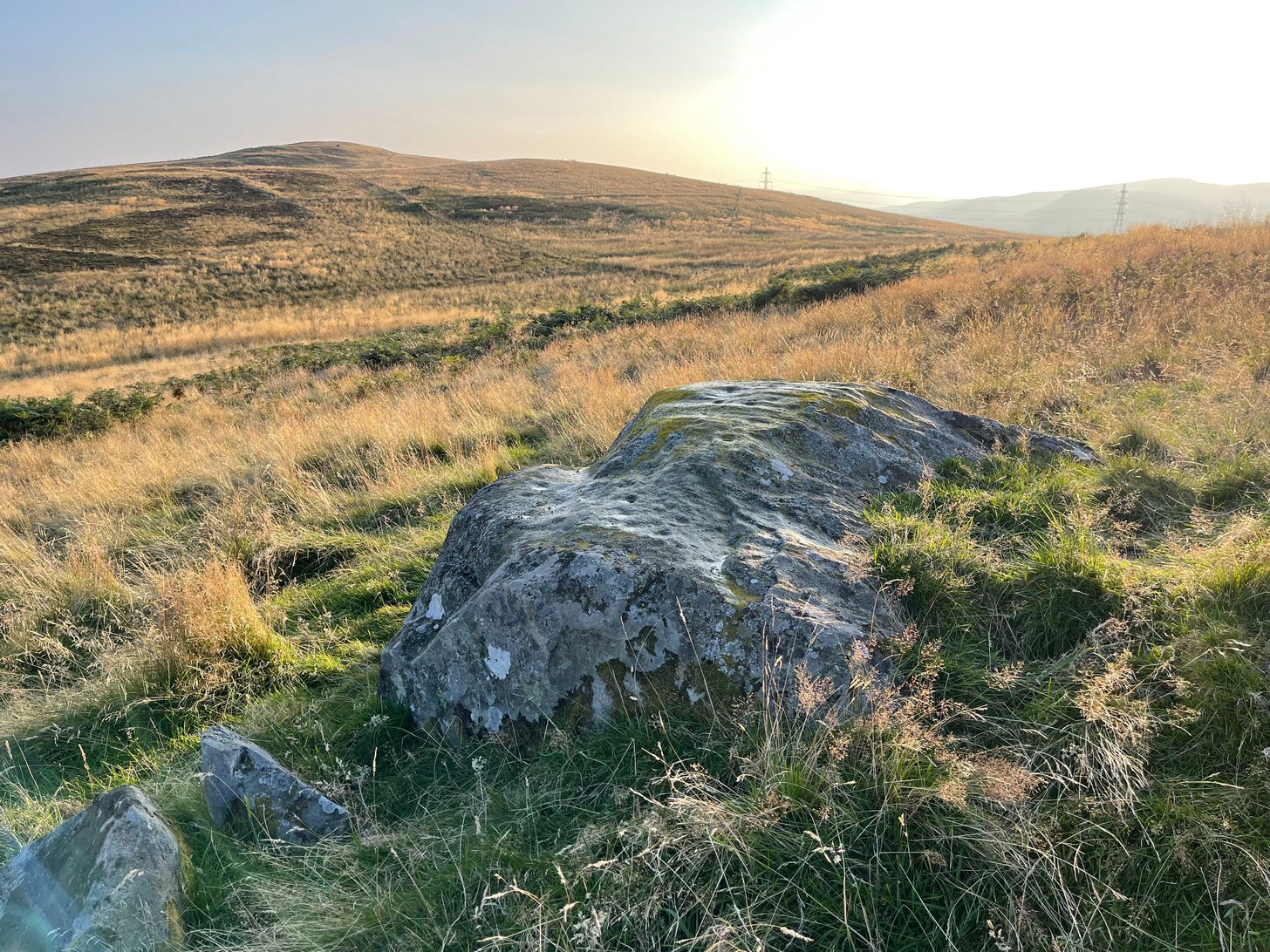
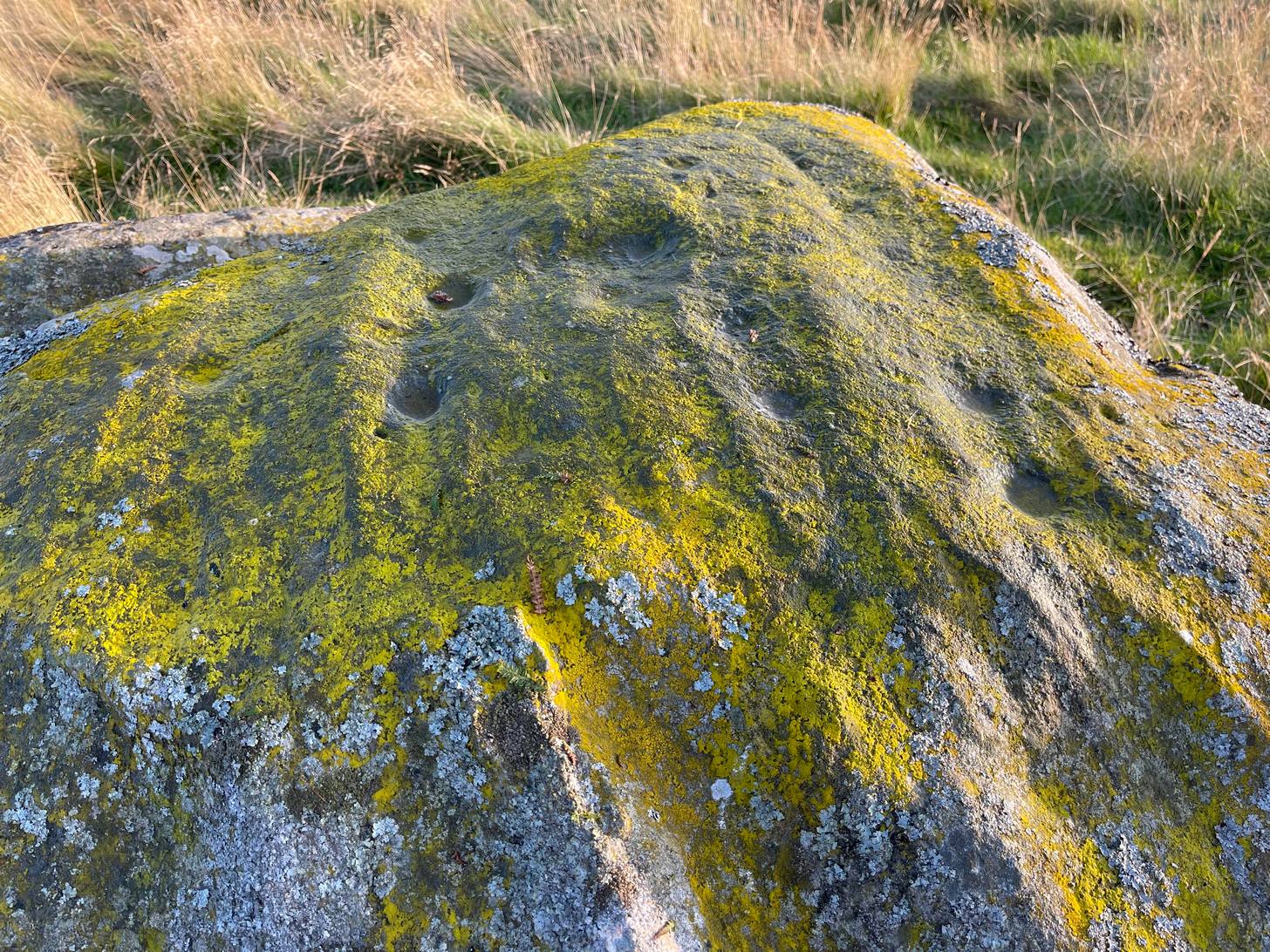
On our first visit to Wooler, in seeking out (and not finding!) a cup-and-ring stone alongside the old burn just on the northern side of town, we looked up at the ridged hillside of Humbleton Hill ahead of us and proclaimed, something along the lines of: “That look’s like something man-made up there!” And so it turned out. But the heat of the summer kept us from ascending the hill, so just an old account must be penned, from the quill of the great rock art pioneer George Tate (Home & Tate 1857) who, following a visit here in May 1852 with various members of the Berwickshire Natural History Society, penned the following:
“On the north side of Humbleton burn is a conical hill truncated at the top, and rising abruptly about 100 feet above the level of the burn; the slope, though considerable, is less steep on the other sides. This was one of the strongholds of the ancient Hritons. A rampier (now obliterated) ran around that part of the hill not protected by the ravine of the burn. The summit of the hill is 180 yards in circumference, having a hollow in the centre of the area; it is surrounded by a rampier of stone and earth, which is yet in some parts 3 feet high. This entrenchment is commonly called ‘The Cup and Saucer Camp’.”
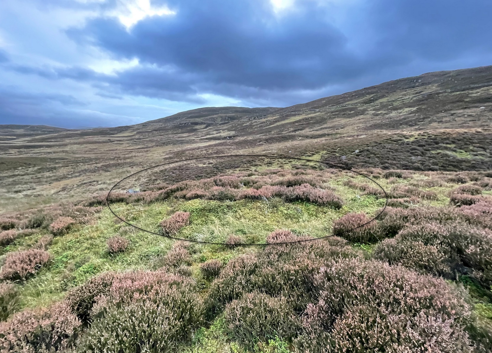
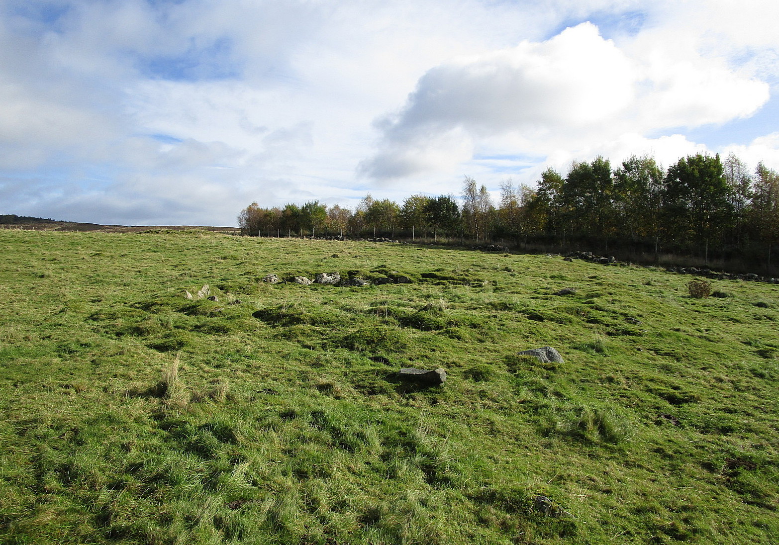
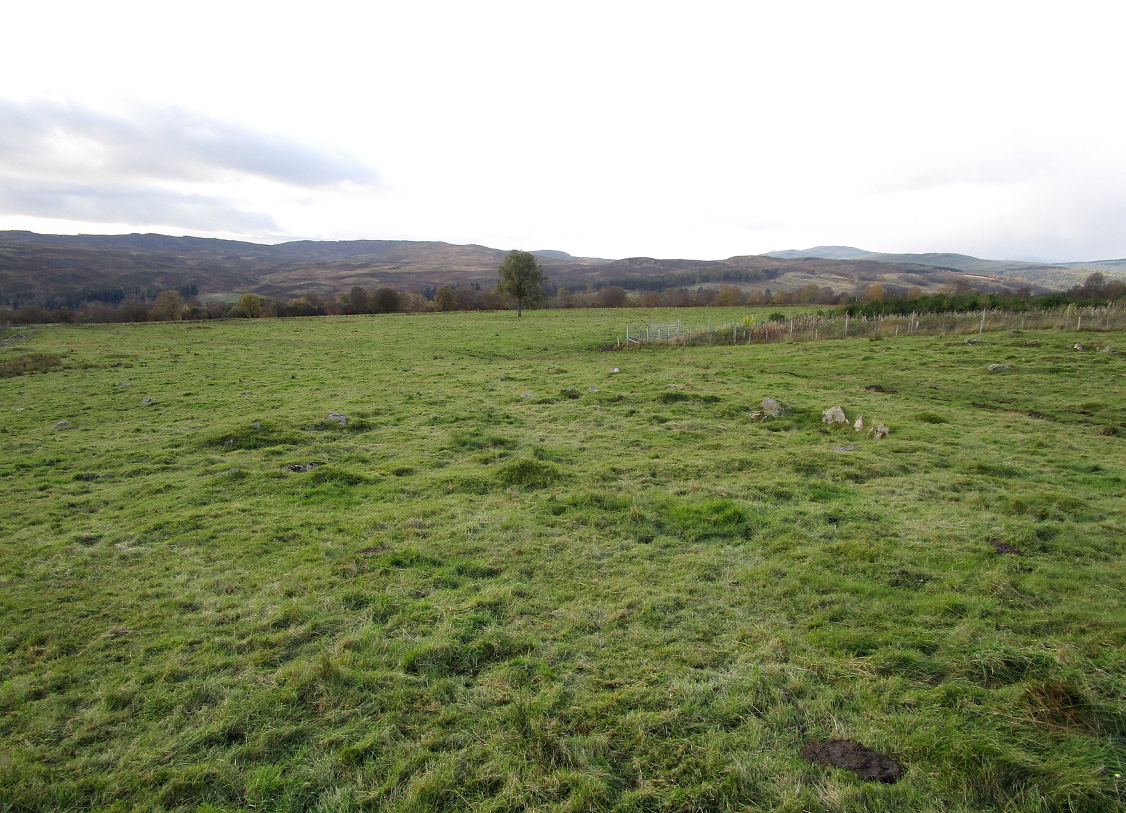
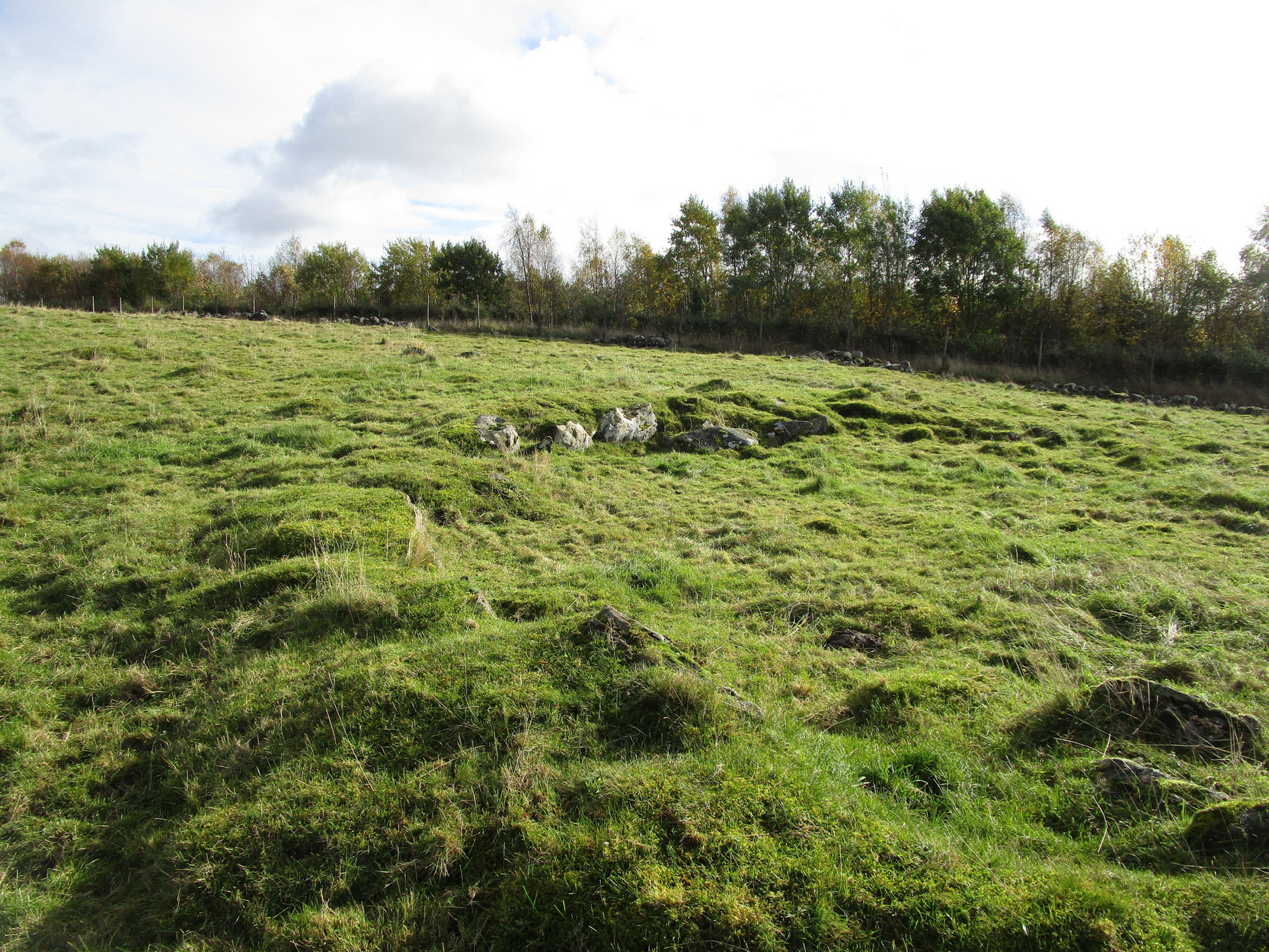
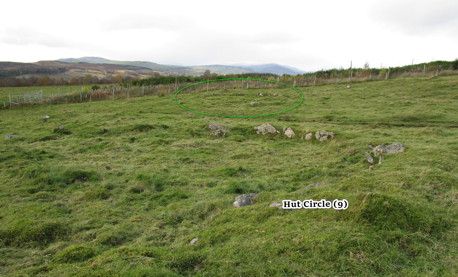
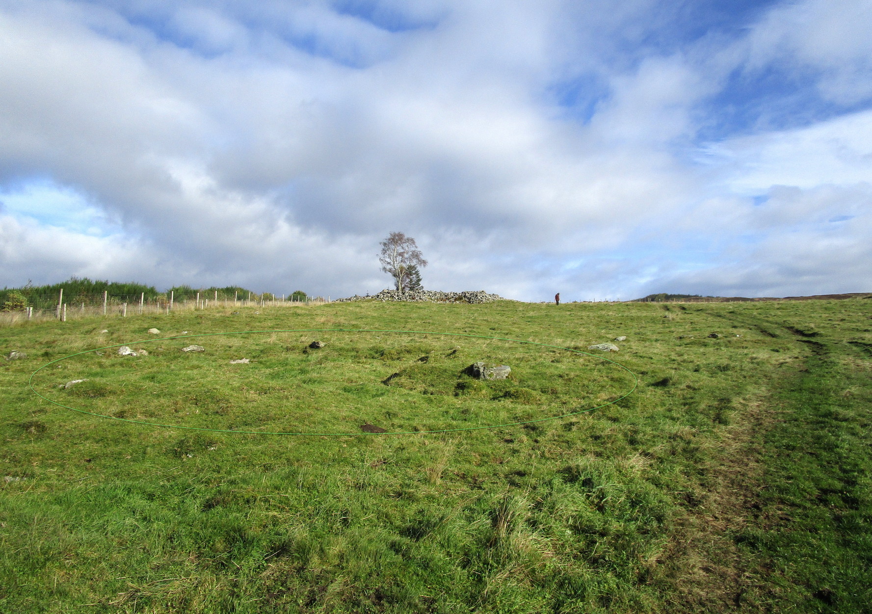
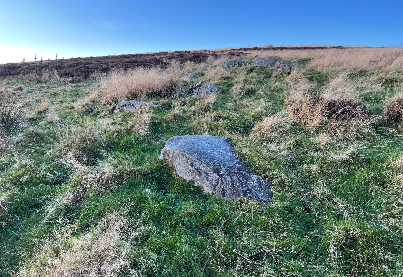
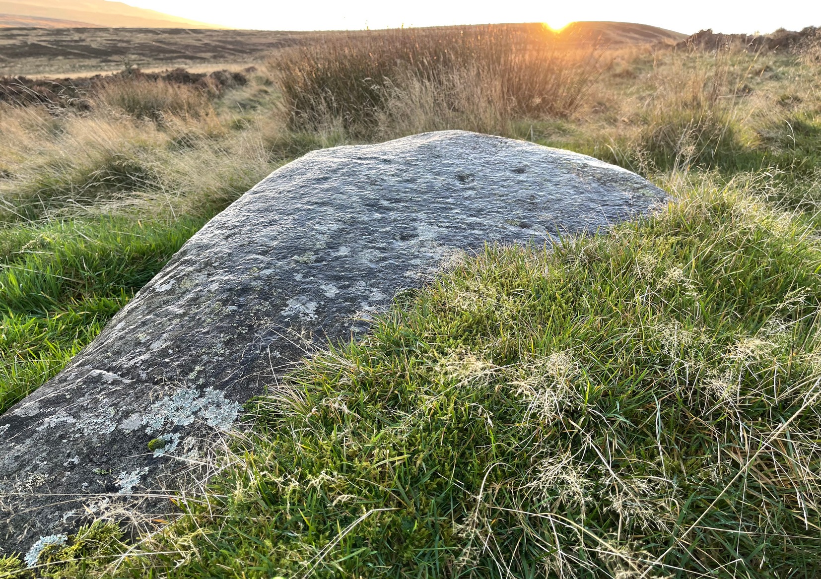
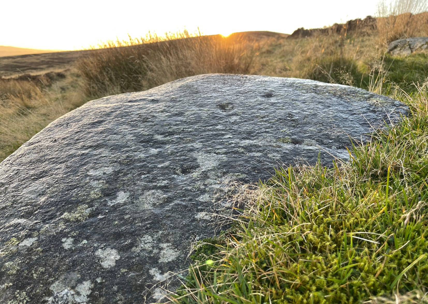
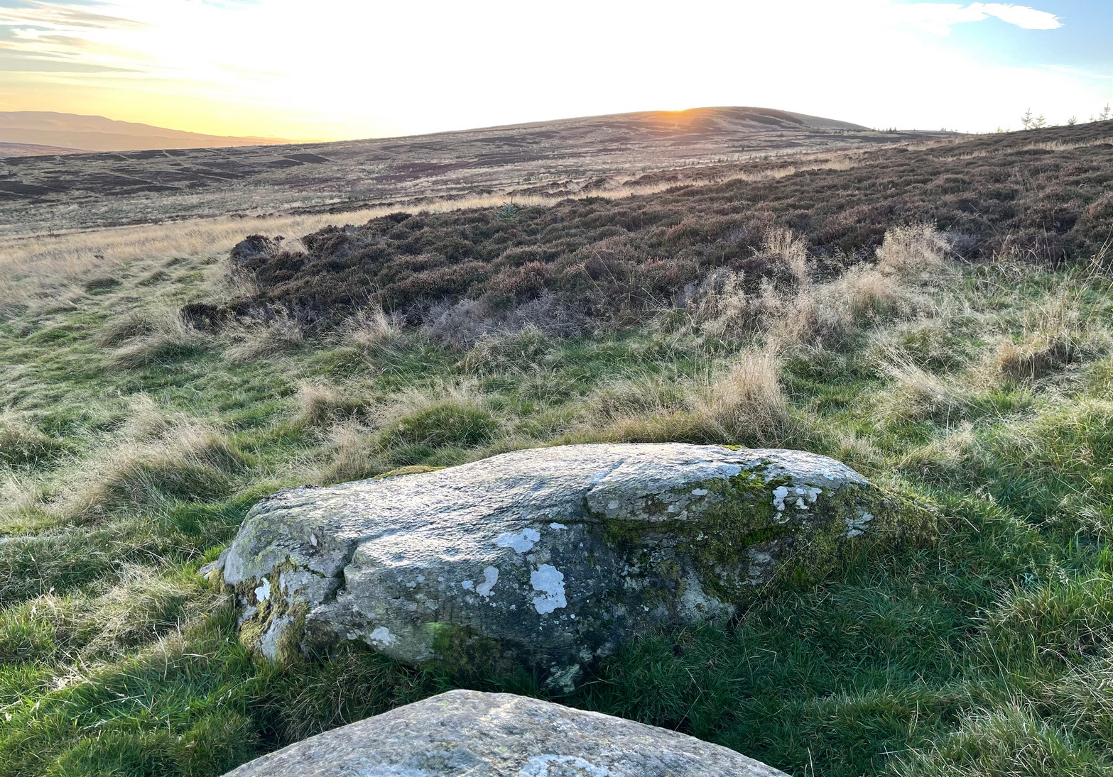
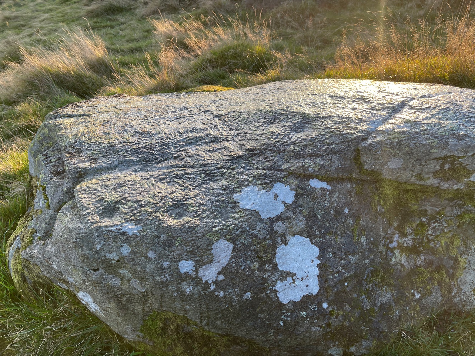
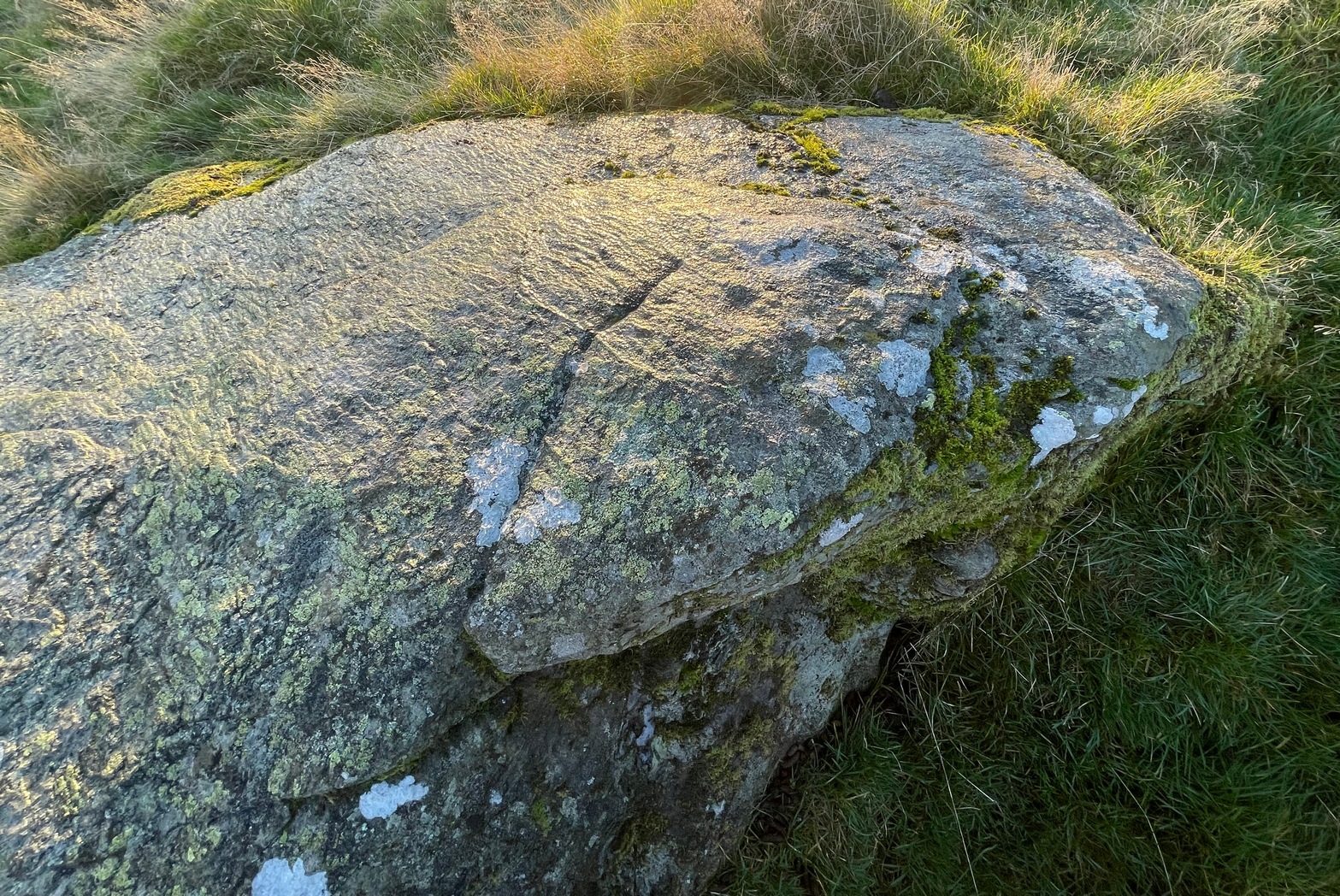
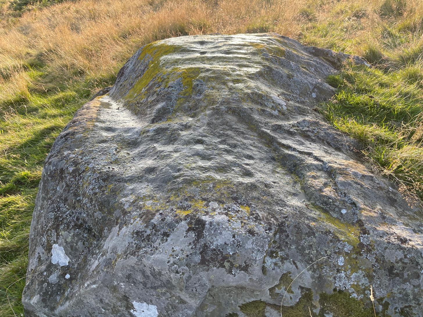
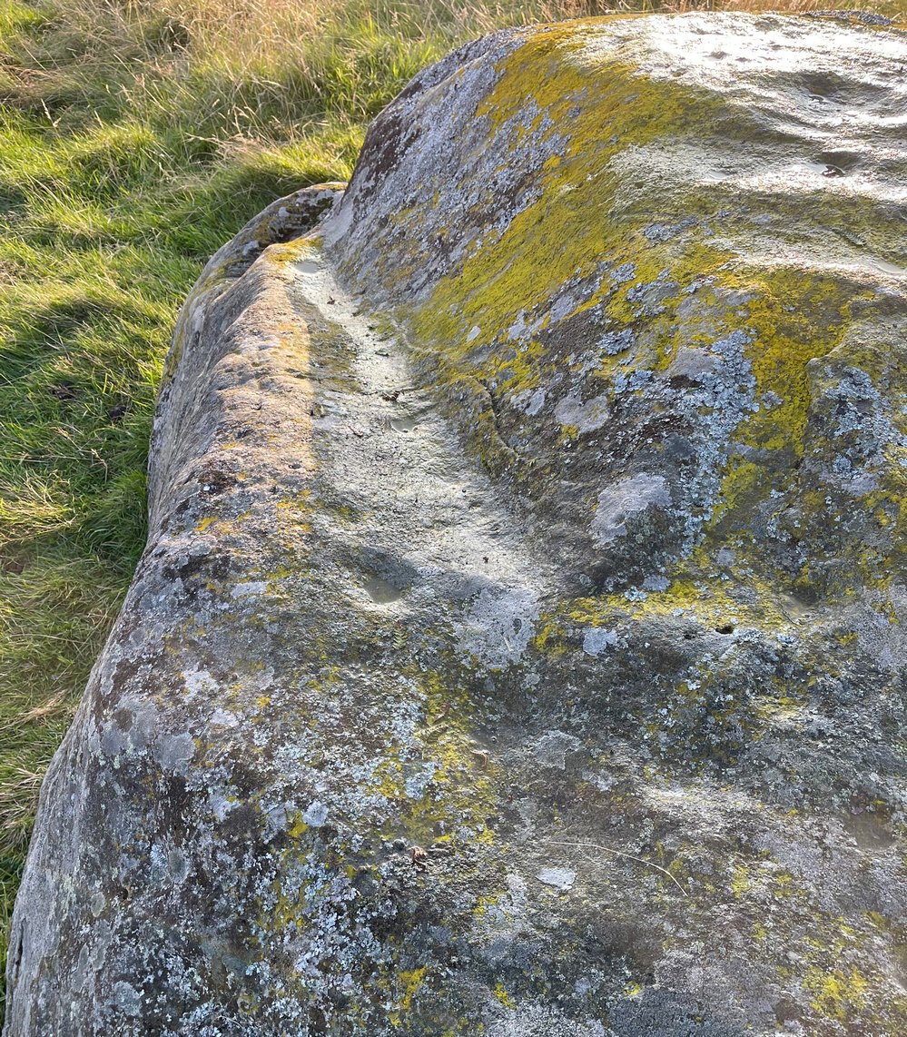
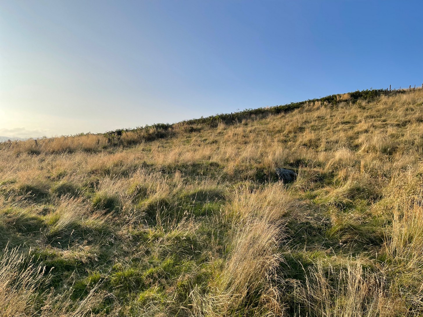
The Hillfort itself is in very good condition overall, is very extensive and has a very clear series of walled ramparts all round the summit of the hill. It has yet to be excavated.
Folklore
The local folk-name given to this old hillfort—the Cup and Saucer Camp—related to the shape and lay-out of the enclosure, and with it, the tradition that the chiefs of the tribe inhabited the topmost enclosed section of the hillfort: the so-called ‘Cup’; whilst the tribal familes inhabited the realms immmediately outside and below the chief’s domain: the so-called surrounding ‘Saucer’. On the northern edges of the outer ‘saucer’ walls are several ‘hut circles’ (for want of a better term), that would house people, or their animals—or both.
References:
- Home, Robert & Tate, G., “Address to the Members at the Anniversary Meeting, held at Embleton, Sept 8, 1852,” in Proceedings of the Berwickshire Naturalists’ Club, volume 3, 1857.
© Paul Bennett, The Northern Antiquarian