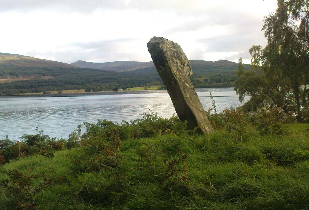
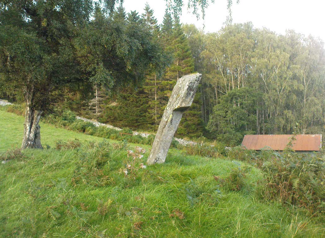
Dolmen: OS Grid Reference – SX 70092 90783
Also Known as:
-
Drewsteignton (1)
Archaeology & History
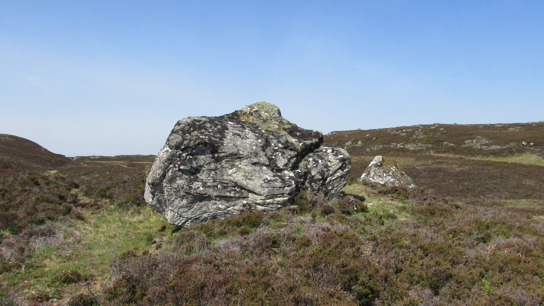
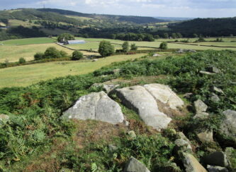
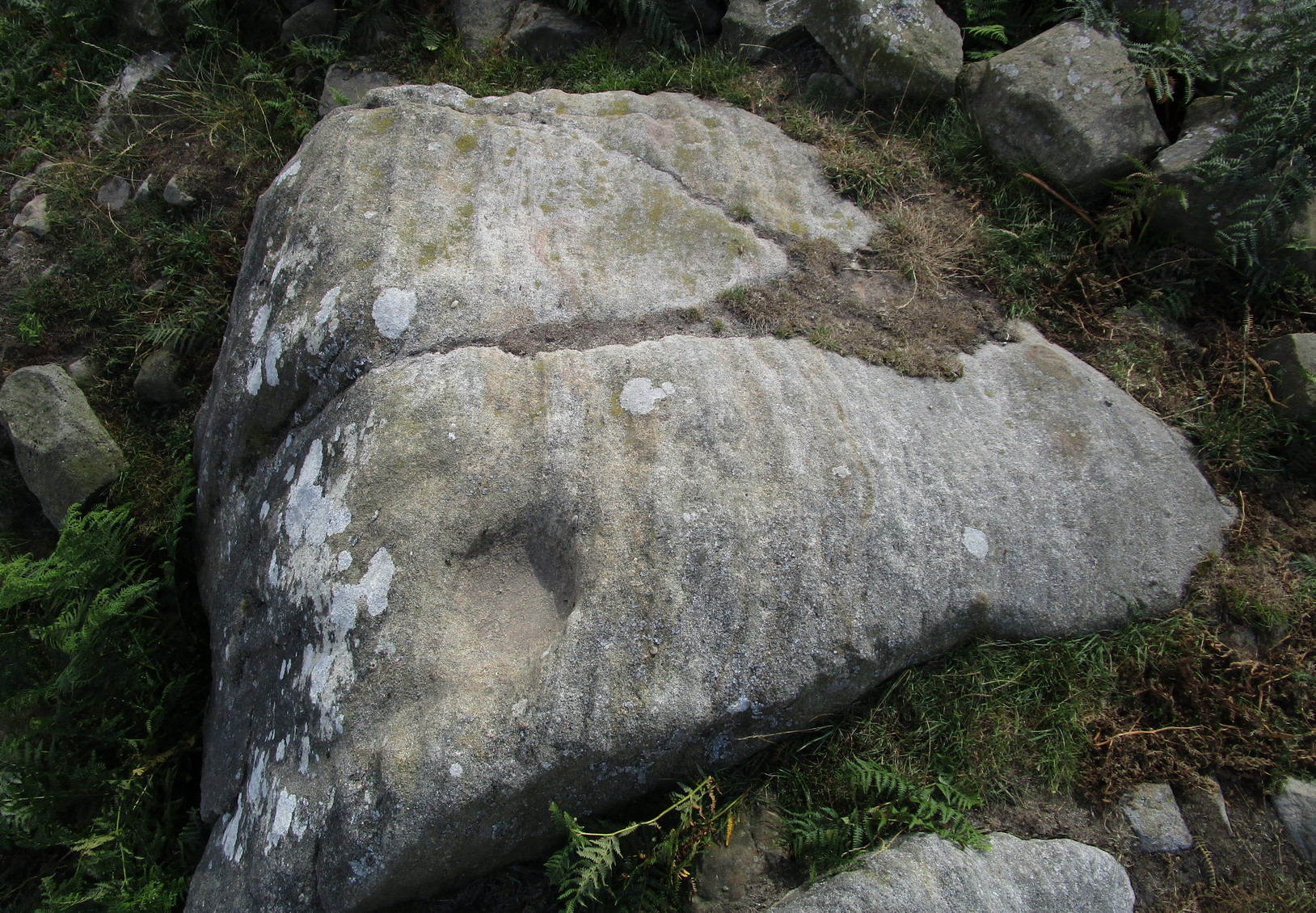
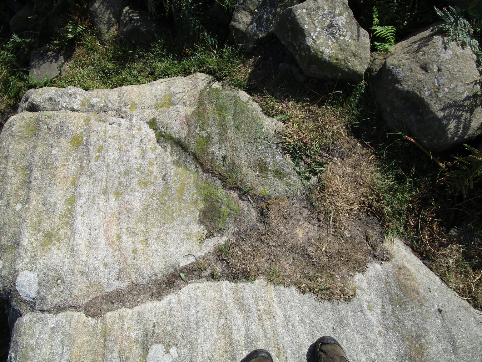
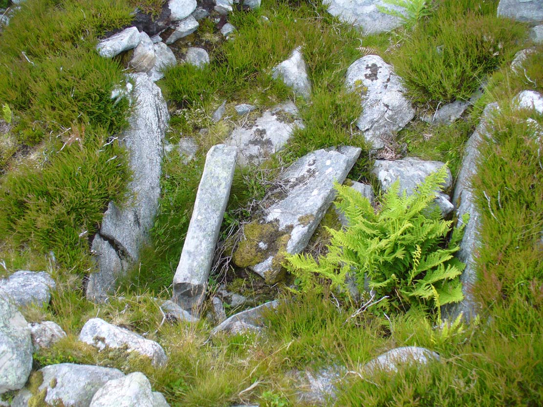
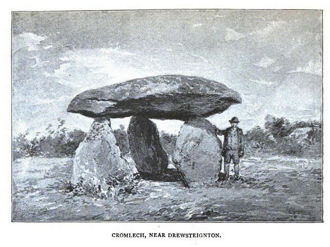
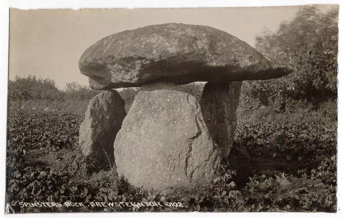
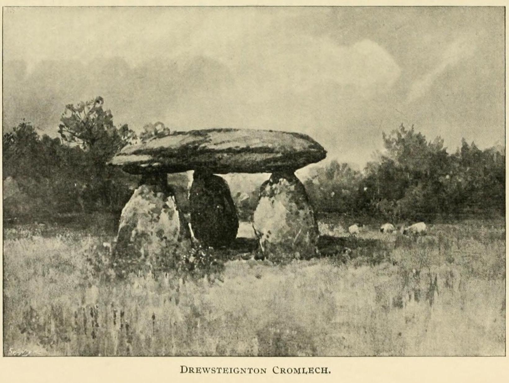
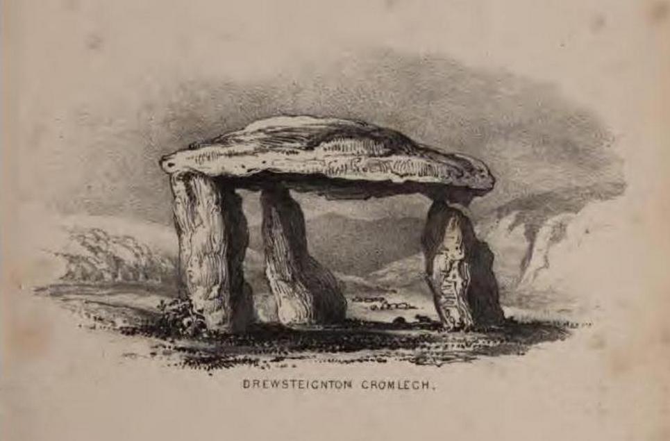
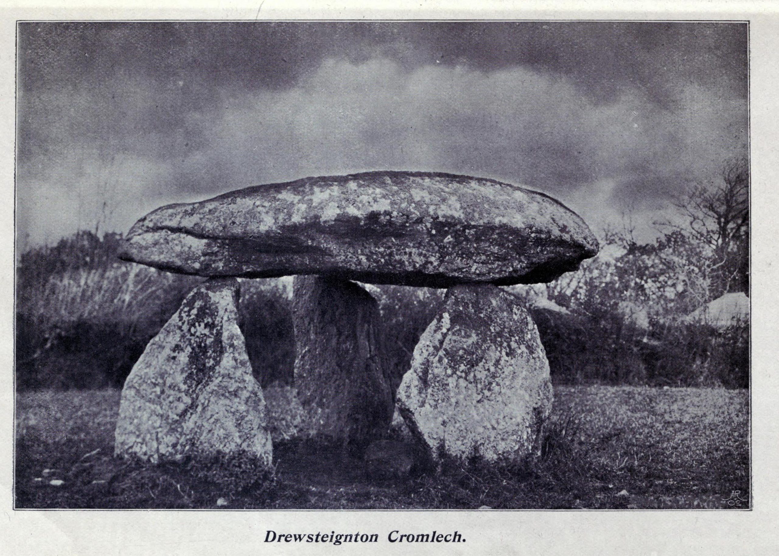
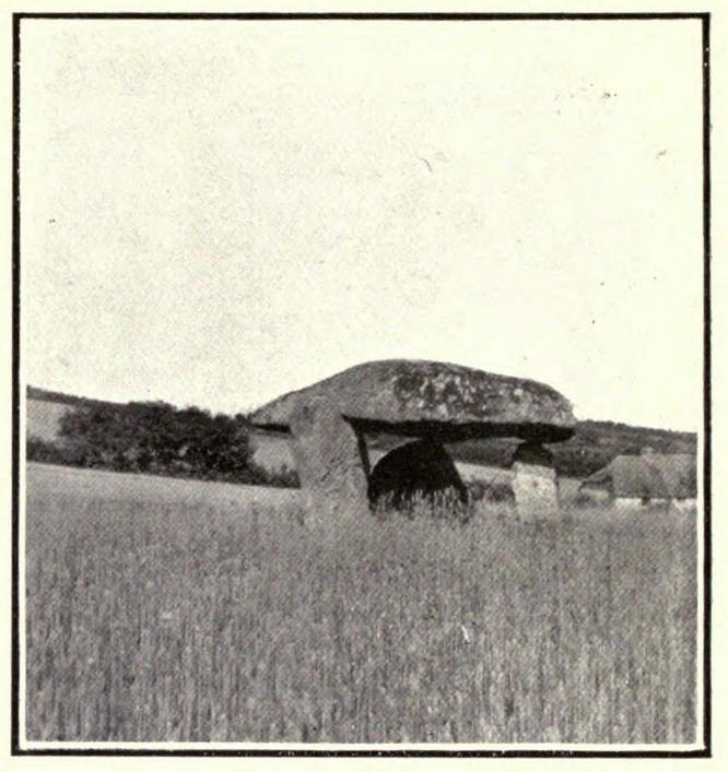
Highlighted on Benjamin Donn’s map of Devon in 1765, this impressive neolithic dolmen consists of three large granite support stones between 5 ft 7 in and 7 ft 7 in tall, surmounted by a large capstone measuring 15 feet by 10 feet. It collapsed in 1862 but was restored later the same year.
Folklore
In Murray’s (1851) Handbook for Travellers he told the following tale of the site:
This interesting old monument derives its name from a whimsical tradition that three spinsters (who were spinners) erected it one morning before breakfast; but “may we not,”* says Mr. Rowe (Peramb. of Dartmoor), “detect in this legend of the three fabulous spinners the terrible Valkyriur of the dark mythology of our Northern ancesters – the Fatal Sisters, the choosers of the slain, whose dread office was to ‘weave the warp and weave the woof of destiny.'”
Polwhele informs us that the legend varies, in that for the three spinsters some have substituted three young men and their father, who brought the stones from the highest part of Dartmoor; and in this phase of the legend has been traced an obscured tradition of Noah and his three sons.
.. The hill on which it stands commands an excellent view of Cawsand Beacon. About 100 yds. beyond the cromlech on the other (N.) side of the lane, is a pond of water, of about 3 acres, called Bradmere Pool, prettily situated in a wood. It is said to be unfathomable, and to remain full to the brim during the driest seasons, and some regard it as artificially formed and of high antiquity – in short a Druidical pool of lustration connected with the adjacent cromlech..
.. The country-people have a legend of a passage formed of large stones leading underground from Bradmere to the Teign, near the logan stone..
References:
- Baring-Gould, Sabine, A Book of Dartmoor, London 1900.
- Crossing, William, Gems in a Granite Setting, Western Morning News: Plymouth 1905.
- Falcon, T.A., Dartmoor Illustrated, James G. Comin: Exeter 1900.
- Murray, John, A Hand-book for Travellers in Devon & Cornwall, John Murray: London 1851.
- Ormerod, G. Waring, Notes on Rude Stone Remains Situate on the Easterly Side of Dartmoor, privately printed 1873.
- Page, John Lloyd Warden, An Exploration of Dartmoor and its Antiquities, Seeley: London 1892.
- Worth, R. Hansford, Worth’s Dartmoor, David & Charles: Newton Abbot 1967.
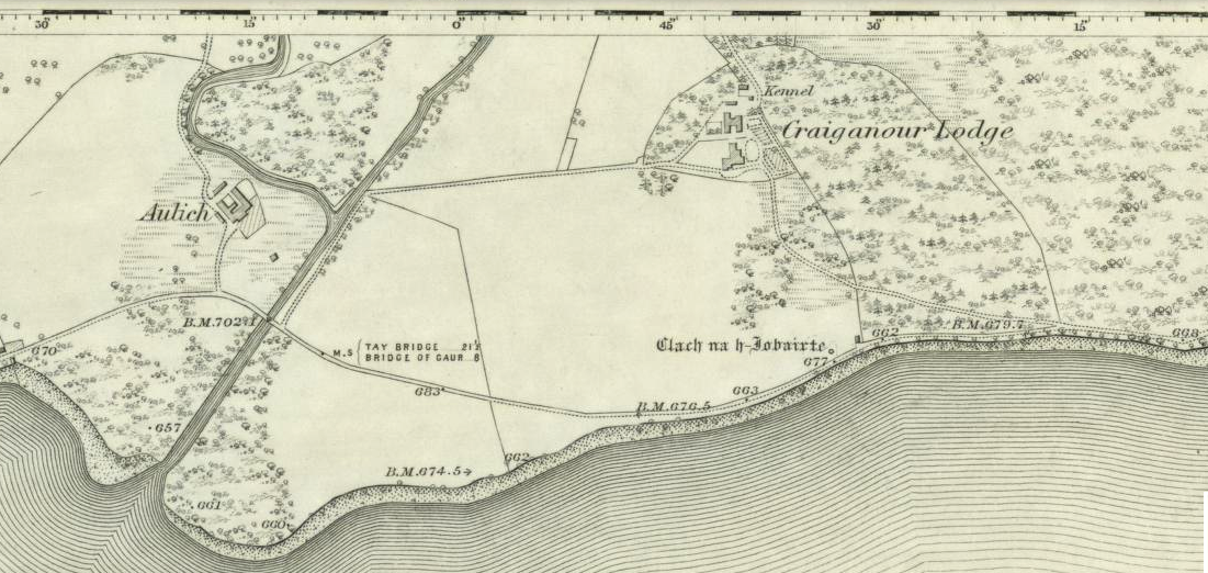
Acknowledgements: Huge thanks for use of the Ordnance Survey map in this site profile, reproduced with the kind permission of the National Library of Scotland.
© Paul Bennett, The Northern Antiquarian