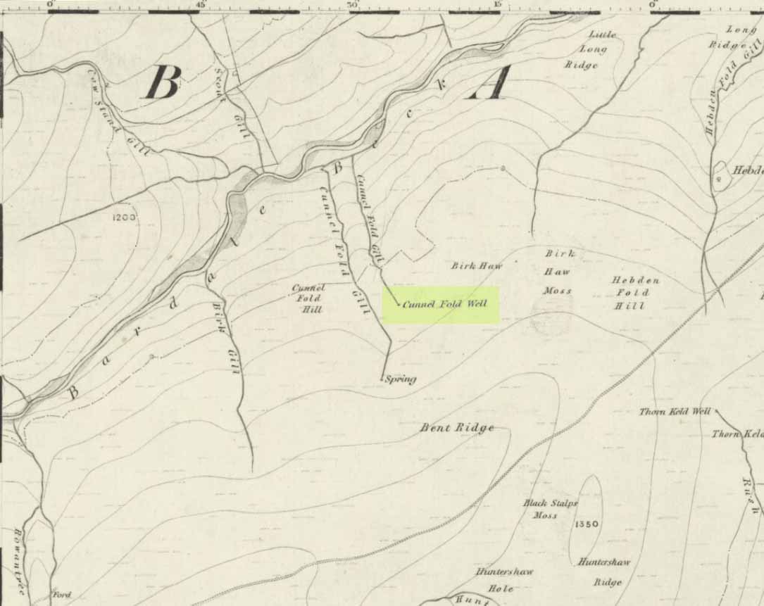
Sacred Well: OS Grid Reference – SE 12839 39331
Also Known as:
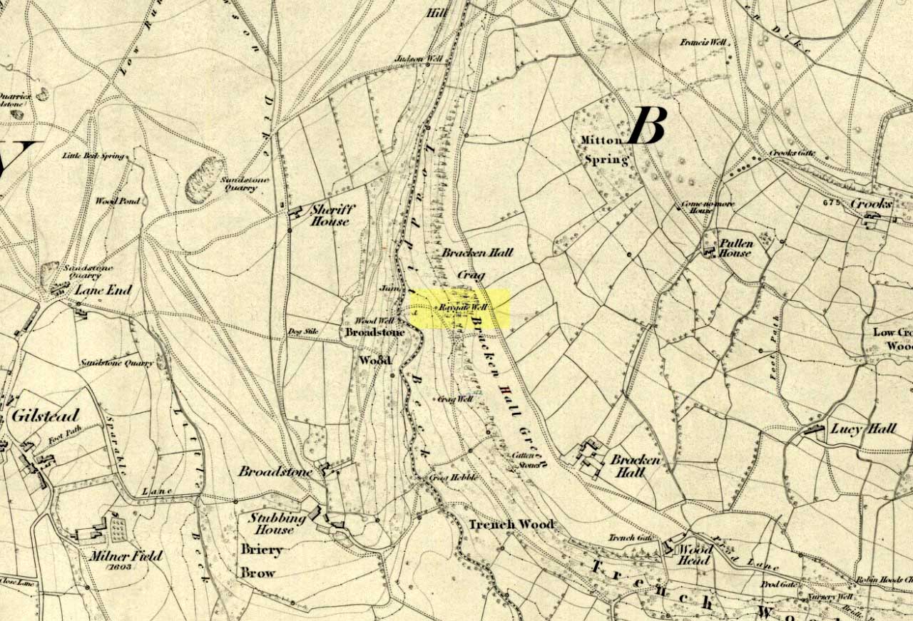
- Raygate Well
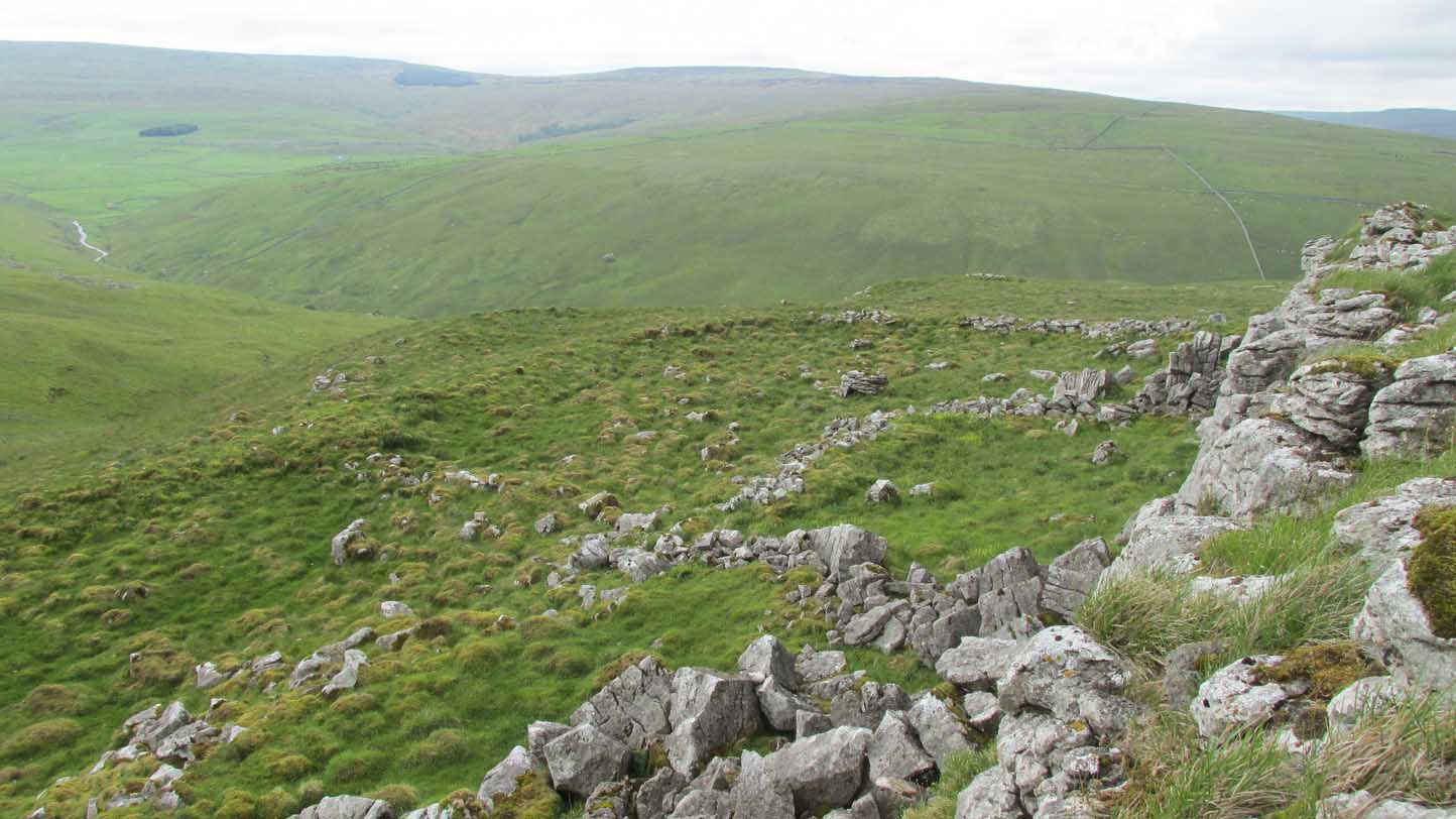
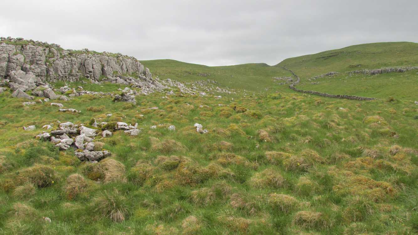
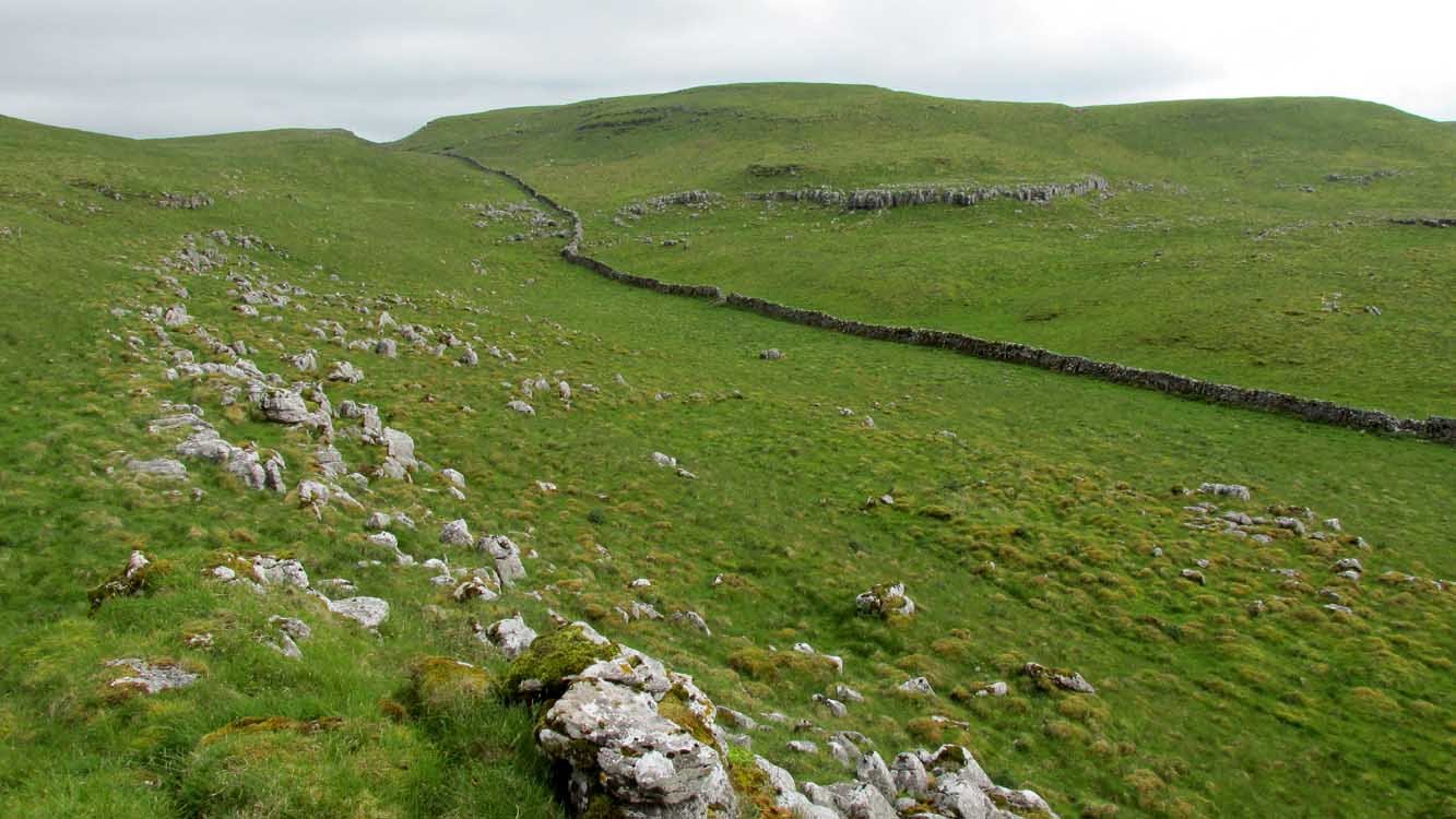
On the roadside at Shipley Glen, from Brackenhall Circle walk up for about 250 yards, where you’ll notice the land dips as it drops into the woods below. Follow this dried stream down until you reach the mossy Loadpit Beck in the valley. By the waterside is a footpath: follow this upstream for a short distance, keeping your eyes peeled on the Earth below where a smaller stream crosses the path you’re walking on. Follow this uphill to its source!
Archaeology & History
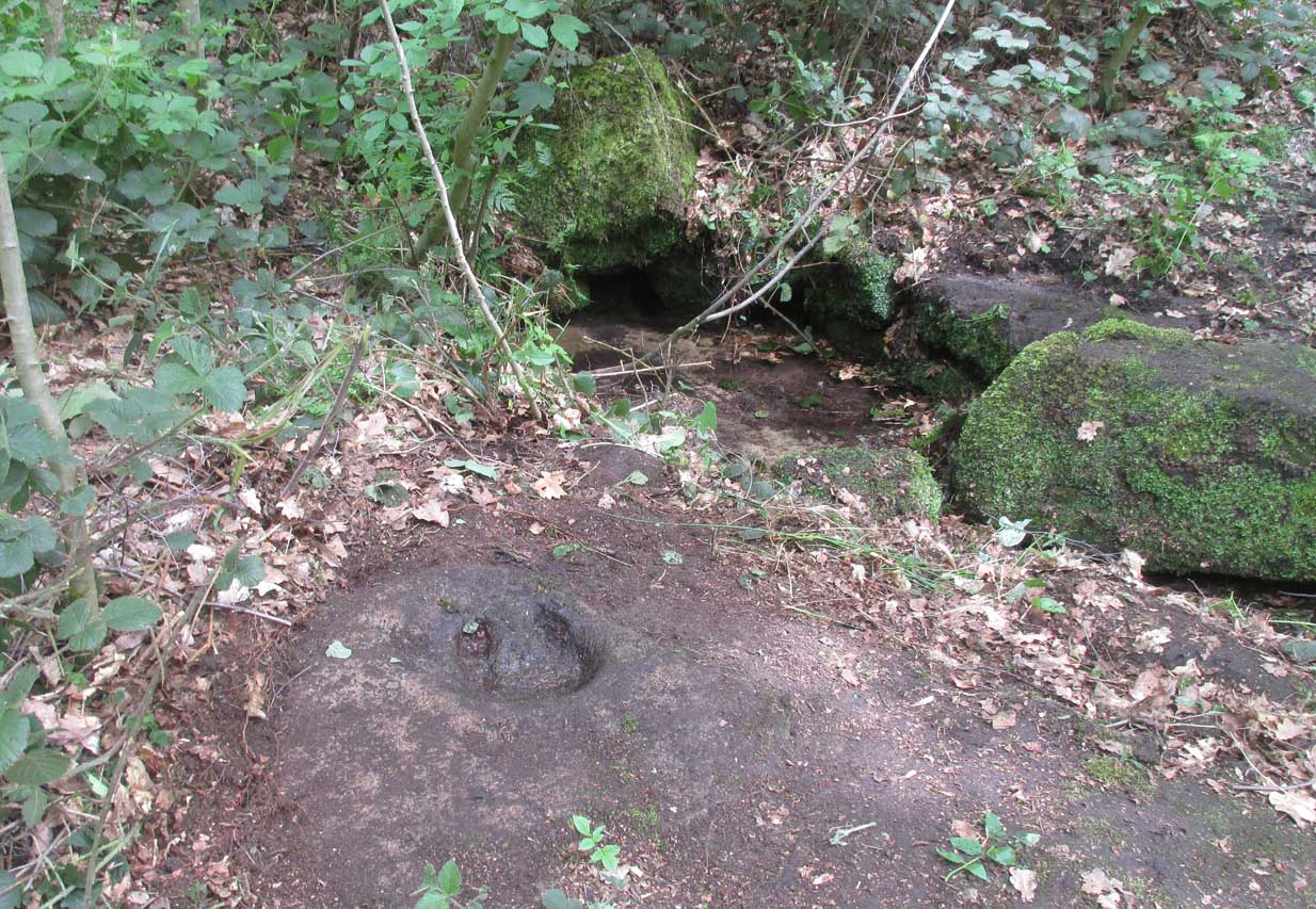
Halfway up (or down) the moss-covered waters of Shipley Glen the all-but-forgotten waters of the Cloven Hoof Well still flows nice and freely, and is still good to drink. It was shown on the first OS-map of the area in 1852, where it was called the Raygate Well, whose derivation neither the great Baildon historian W. Paley Baildon nor the place-name giant A.H. Smith could account for. It sounds just like it was someone’s surname, but local genealogy cannot affirm this. One possibility—and which reflects in the local lore of the site—is that it’s a compound word from the old northern dialect word Rea, “an evil spirit or demon”, and gate, “a hole, an opening or gap.” The terms are used in a prayer given in Mr Sinclair’s Satan’s Invisible World Displayed (1814),
“as recited in the time of Popery by persons when going to bed, as a means of them being preserved from danger:
“Keep this house from the weir…
And from an ill Rea,
That be the gate can gae.””
But this purely speculative….
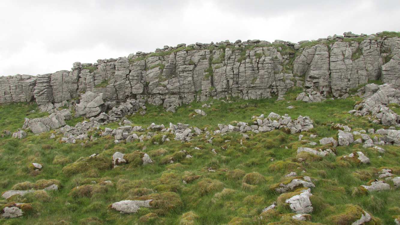
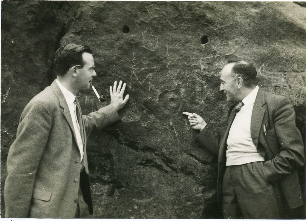
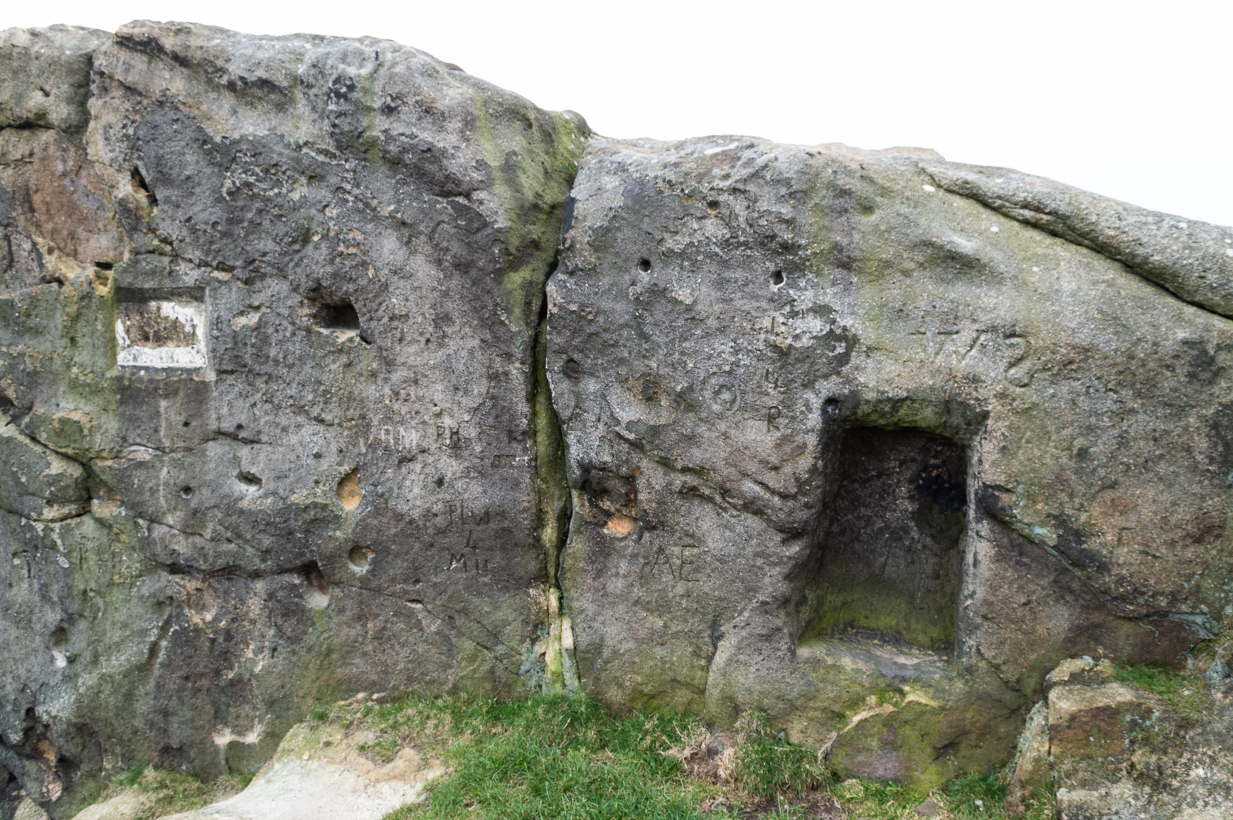
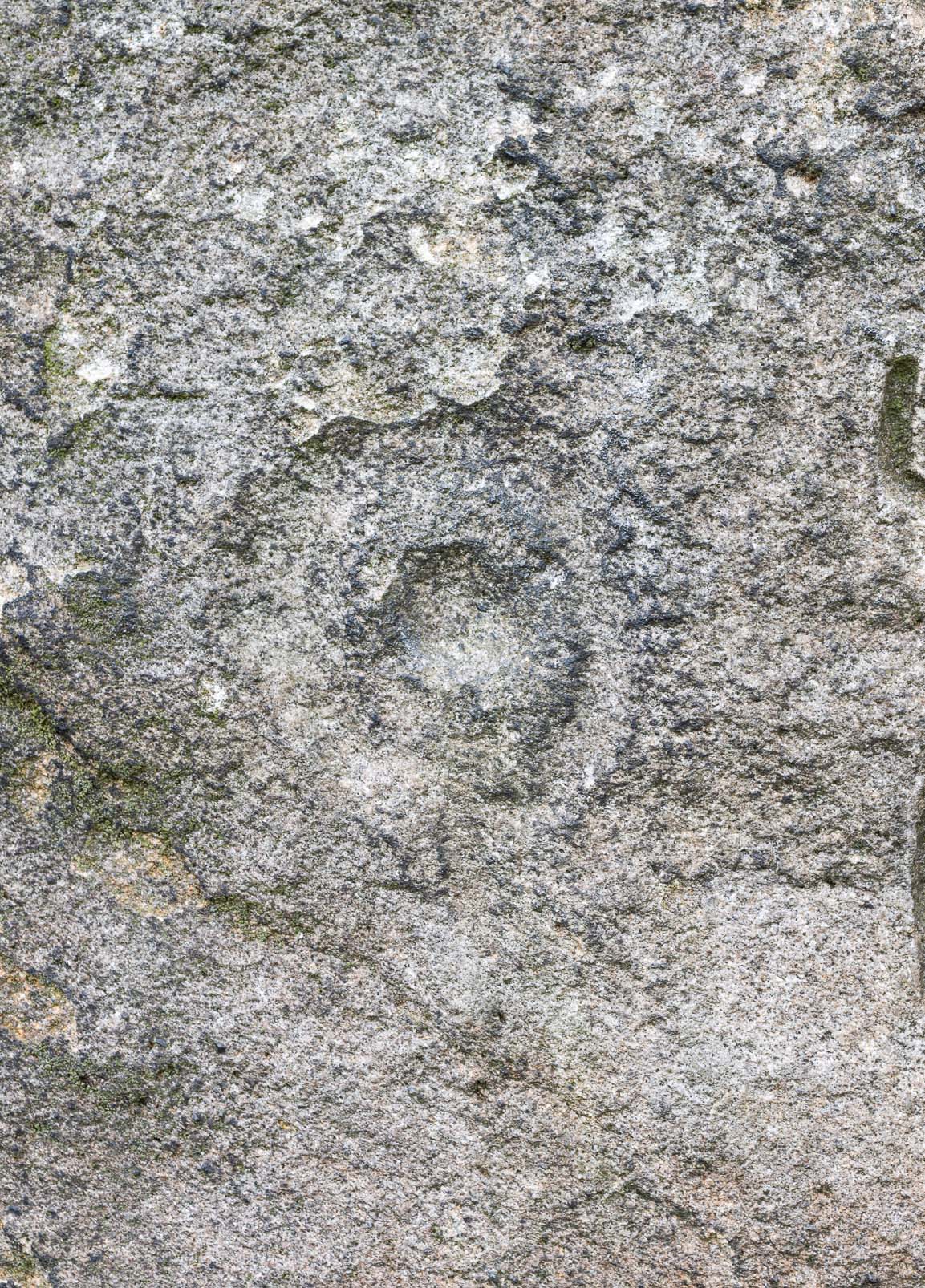
A photograph and brief description of the Cloven Hoof Well was given in an early edition of the Bradford Scientific Journal after a geological excursion to Shipley, though nothing was said of its curious name. However on a rock below the spring, a hoof-print mark is clearly seen. It appears to be part-natural and partly enhanced. This is an area rich in prehistoric petroglyphs, or cup and rings stones.
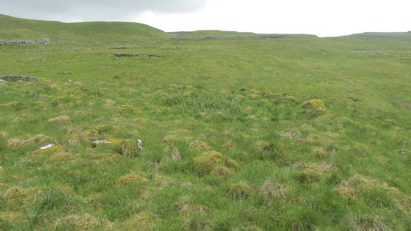
Mosses thankfully still cover the rocks from whence the waters flow; and bilberry, blackberry, male fern and bracken also grow around it. Psychoactive plants also abound nearby. The water is healthy and never seems to dry up, even during long warm summers. And below here, on the other side of the stream at the bottom, you can visit the little-known Wood Well.
Folklore
Local lore told that the devil stepped here and left his hoof-mark in the rock, making the waters rise from the Earth. Possibly a venerated site in earlier days, one finds numerous ancient remains nearby (cup and rings, stone circle, walling, cairn fields). Pagans amongst you should love this place!
References:
- Armitage, Paul, The Holy Wells and Healing Springs of West Yorkshire, forthcoming
- Baildon, W. Paley, Baildon and the Baildons (parts 1-15), St. Catherines: Adelphi 1913-26.
- la Page, John, The Story of Baildon, William Byles: London 1951.
© Paul Bennett, The Northern Antiquarian