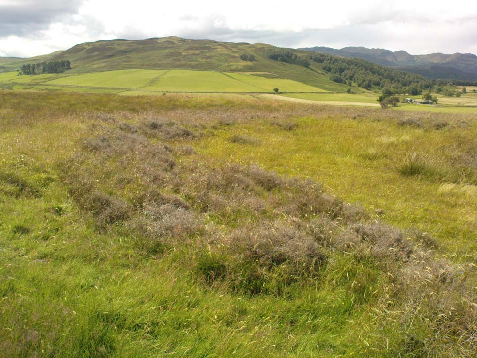
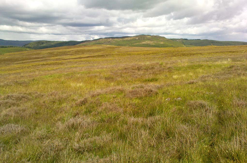
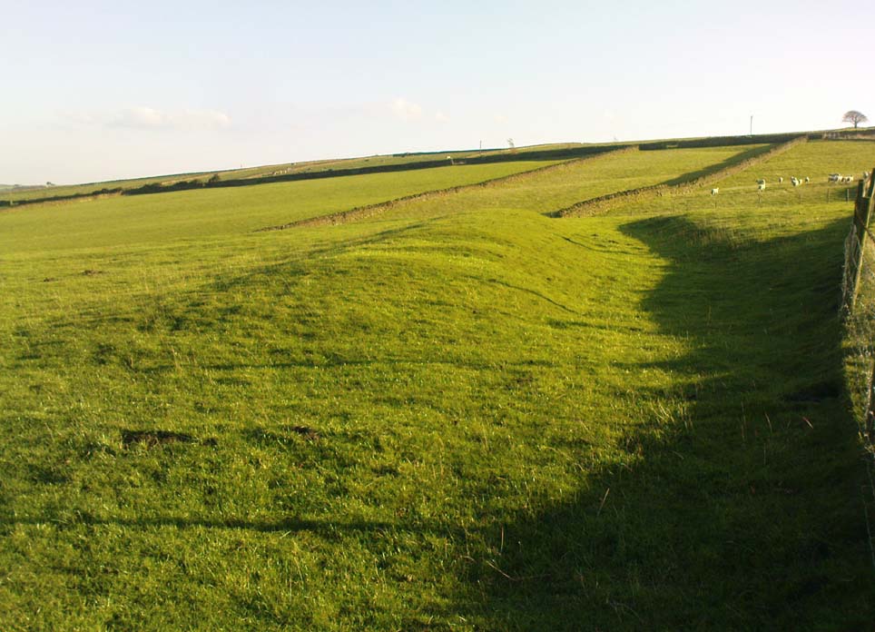
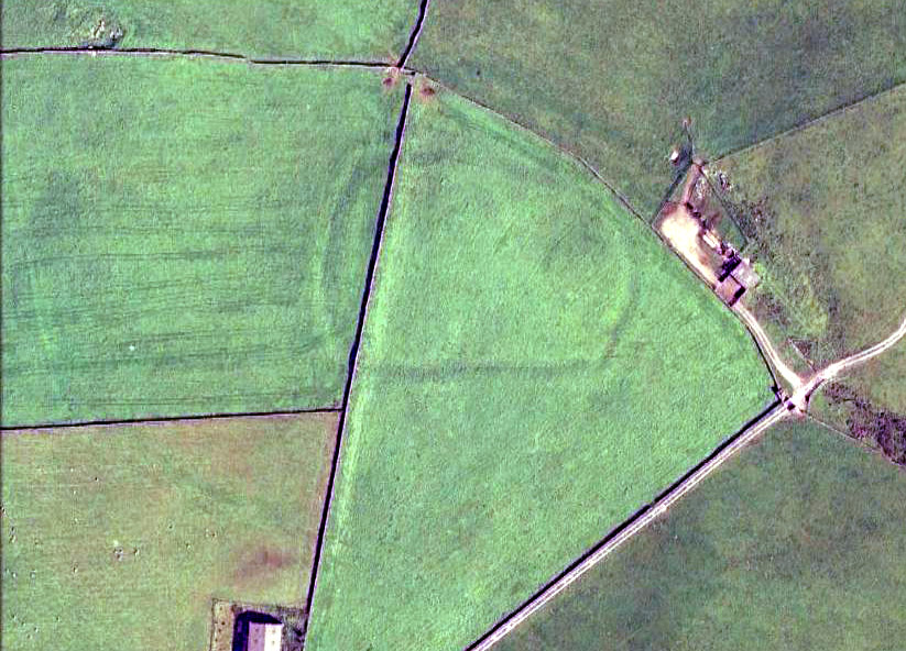
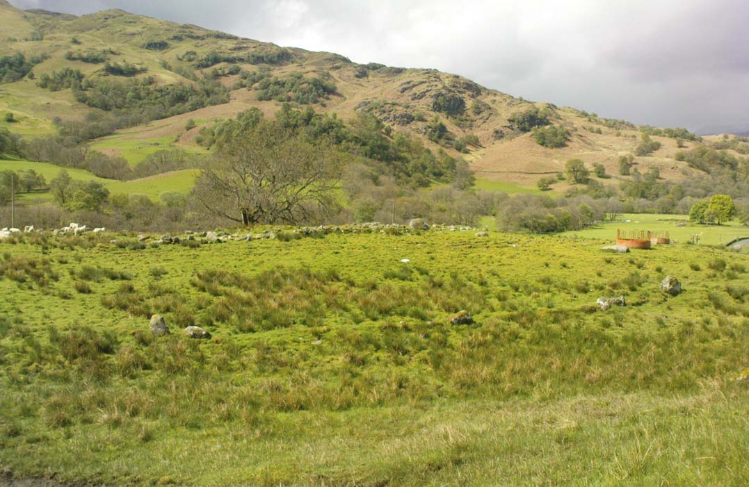
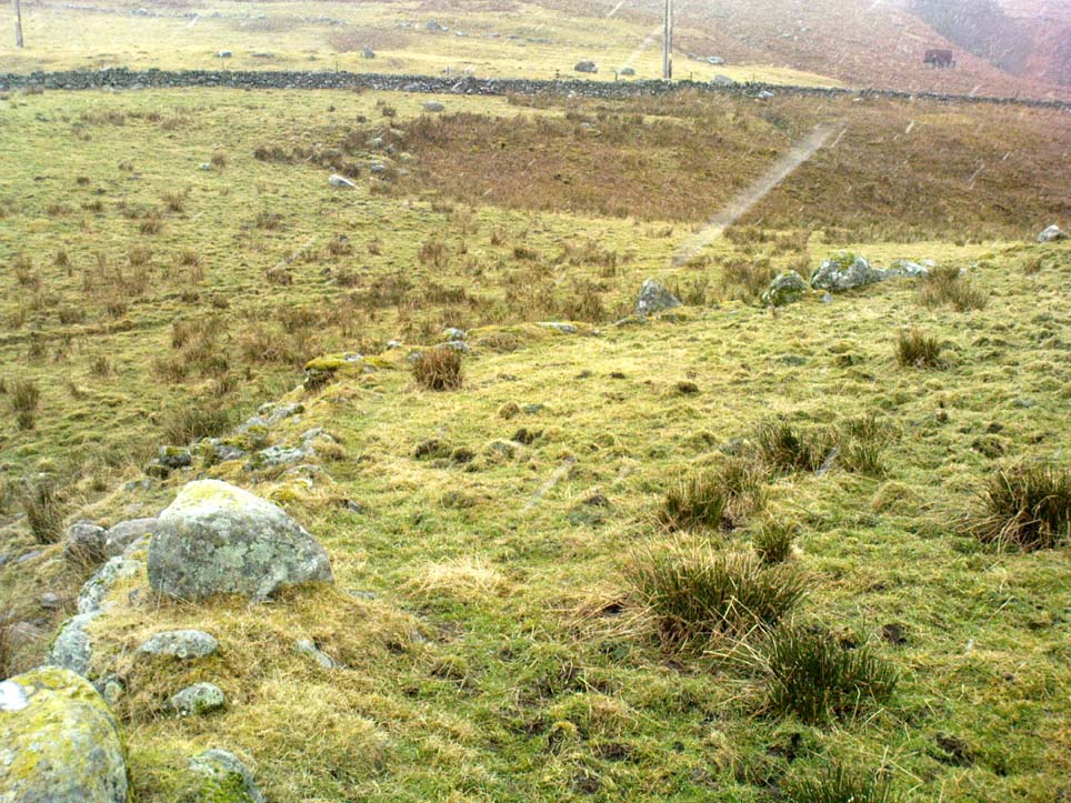
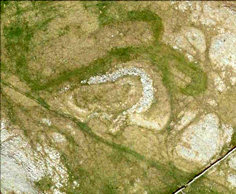
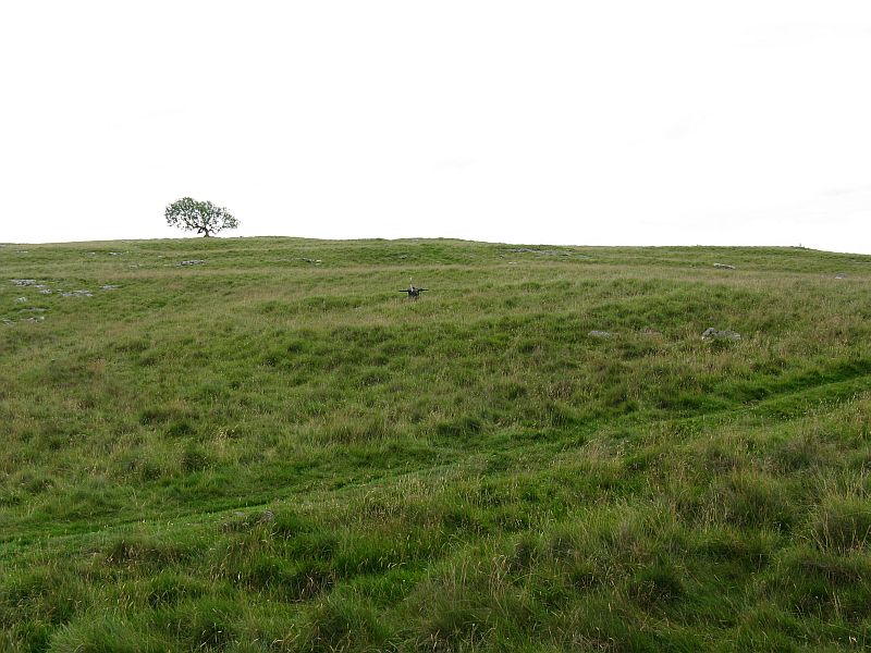
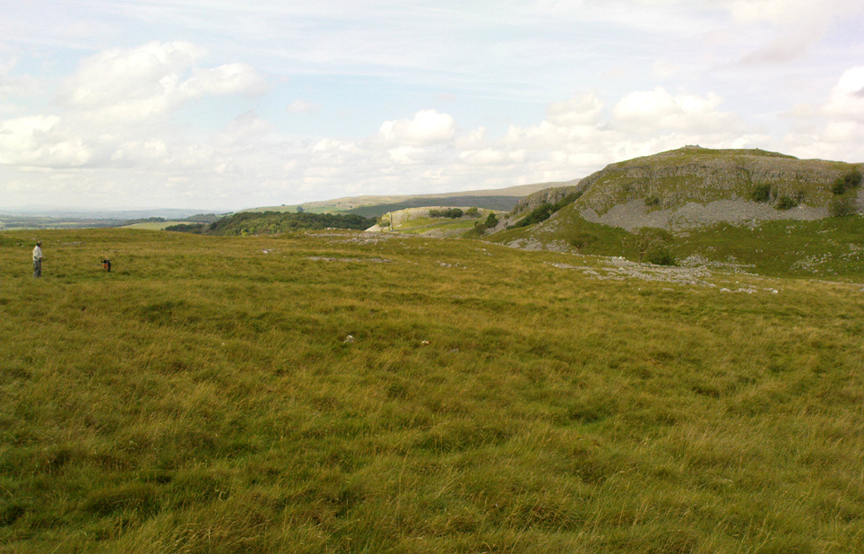
Large arc of vegetation highlighting south section of wall
From Comrie town centre take the road south across Dalginross Bridge over the river, heading towards Braco, up the winding B827 road for 3 miles, past the tiny crossroads that would take you to the Craigneich standing stone, and past the farmhouse of Middleton as you go uphill. As you go round a bittova large bend in the road, take the next gate uphill, over the field and onto the moor. Follow the walling up a few hundred yards until it bends round and you see the Dunruchan monoliths ahead of you on the moor. From here, walk east into the heather, up a slight grade for 100 yards or more, keeping your eyes peeled for a large oval change in vegetation, covering a mass of small stones with several large ones at its NW sides. Your damn close!
Archaeology & History
I can find no previous reference to this large oval walled enclosure, either on the internet, PSAS or other local history texts, so assume for the time being that it is a new find (someone please lemme know if there’s owt written about it). But it’s existence here is not surprising, considering the presence of the giant standing stones of Dunruchan rise a few hundred yards to the east.
Sloping faint oval of vegetation across the centre of the photo outlines the main enclosure
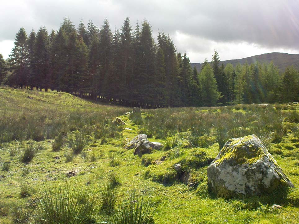
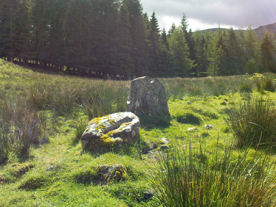
The ‘enclosure’ is a large one and would seem to be prehistoric at first glance. I’d appreciate someone with greater local knowledge have a look at the place to see if they can contextualize it in relation to other local monuments of similar type. Paul Hornby and I approached it from the Duncruchan megaliths and, as the vegetation here was low, noted an overgrown rocky rise in the heather and moorland grasses. This turned out to be the northern line of walling and is nearly 3 feet high in places, though very overgrown. Typically comprising of many hundreds of small rounded stones and the occasional large ones, the walling took on an elliptical form – giving the impression of an early Iron Age to Bronze Age structure – roughly 79 yards in circumference, 29 yards across at its longer axis and 23 yards wide at the shortest. The average width of the walling itself was 2-3 yards all round the entire structure.
My initial impression was that this may have been a very large robbed-out cairn, and the presence of many small rocks scattering inside the enclosure didn’t help! But the more I walked round the site, the more it seemed obvious that this was a large enclosure, or possible settlement. Unfortunately the site has proved very difficult to photograph due to the excess of vegetation. Further visits are needed to this site by those more competent than I, to ascertain the real nature of these antiquarian remains…
Settlement (destroyed): OS Grid Reference – SE 309 336
Archaeology & History
Absolutely nothing is left of the large series of ancient earthworks that were reported to have existed near the very centre of Leeds by Ralph Thoresby, James Wardell and others in the 18th and 19th centuries. Although we do not know with certainty the age and nature of the site, it would seem very likely to have had a prehistoric provenance. However, this wasn’t the opinion of either Thoresby (1715) or Thomas Whitaker (1816). They both thought the remains were of Roman origin – but we must remind ourselves of the inaccuracies made, particularly by Whitaker, when it came to estimating the dates of early monuments (e.g., Whitaker’s assertions of the huge Counter Hill earthworks above Addingham). Sometime later, James Wardell (1853) thought the remains on Quarry Hill were distinctly pre-Roman; though reasoned that the invading force may have used the site at a later date. Wardell wrote:
“Traces of a prior occupation were, until recently, observable on the summit of Quarry-hill, along the western edge of which ran an earthwork of considerable length and magnitude, and of semi-circular form.”
We know little else of the place, sadly, but the shape of the site around the hilltop edges would seem to support the likelihood of an Iron or Bronze Age origin. Further information would, of course, be more helpful…
References:
Thoresby, Ralph, Ducatus Leodiensis, Maurice Atkins: London 1715.
Wardell, James, The Antiquities of the Borough of Leeds, Moxon & Walker: Leeds 1853.
Whitaker, Thomas D., Loidis and Elmete, T. Davison: Leeds 1816.
The low hill called Beadle Hill is located about half a mile north of Swinden Reservoir between Worsthorne and Haggate in the area called Extwistle. It is just a short distance south of Monk Hall and a little east of Monk Hall farm. The earthworks are a long rectangular feature on a low hill (more of a mound really).
The earthworks are more noticeable on the south and west sides but less so at the eastern and northern edges of the mound. They can’t be said to be in any way defensive. The thinking is that this was a Romano-British farmstead or settlement from the late 4th century AD and, not as often thought a Roman camp. The name Beadle is apparently from the Anglo-Saxon/Old English word ‘Beado‘ or ‘Beadlo‘, meaning ‘battle.’ So could the hill be the site of some long forgotten skirmish from the time when the Romans were leaving the north of England? Or could it refer to the legendary ‘Battle of Brunanburh’ which was fought close by in 937 AD? In that battle King Athelstan fought against, and defeated, the Danes and Scots who were moving south from Northumbria.
At the south side of Beadle Hill there is an ancient spring, and to the east is Twist Castle—a circular earthwork that could date from the same period as Beadle Hill. Also, there are a number of tumuli and cairns in this area though these are prehistoric in date, probably Neolithic or Bronze-Age. I do not know whether the site has been excavated. If it has, please let us know!
References:
Cockburn, John Henry, The Battle of Brunanburh and its Period, Elucidated by Place-Names, Sir W.C. Leng: Sheffield 1931.
Frost, Roger, A Lancashire Township – The History of Briercliffe-with-Extwistle, Rieve Edge Press: Briercliffe 1982.
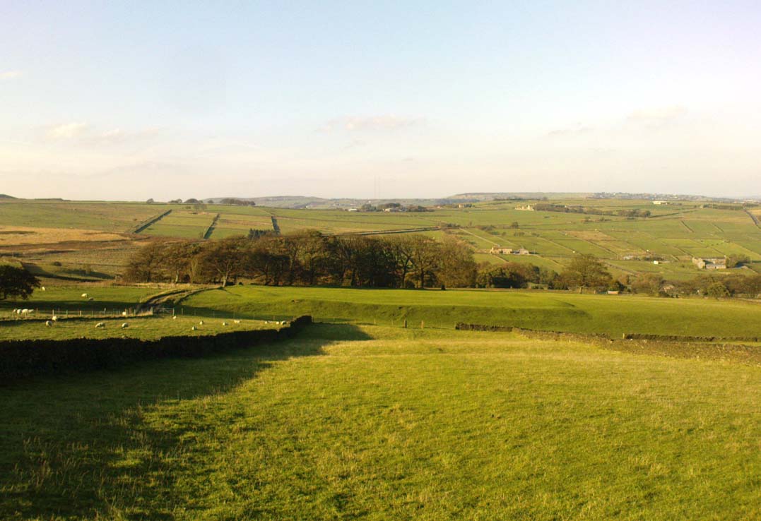
From the crossroads at the centre of Meltham, near the church, take the Wessenden Head Road up out of town for about a mile. Keep your eyes peeled to right (north) for the track leading downhill to Oldfield Hall or Farm. As you go down the track you’ll see a small cluster of hawthorns running along a small ridge 100 yards or so ahead, at the end of the field, with some line of embankment. This is on the right of the track and is the Oldfield enclosure!
Archaeology & History
The remains of this large quadrangular settlement were first described as of ‘Roman’ origin in Mr Morehouse’s History of Kirkburton (1861), where he told that,
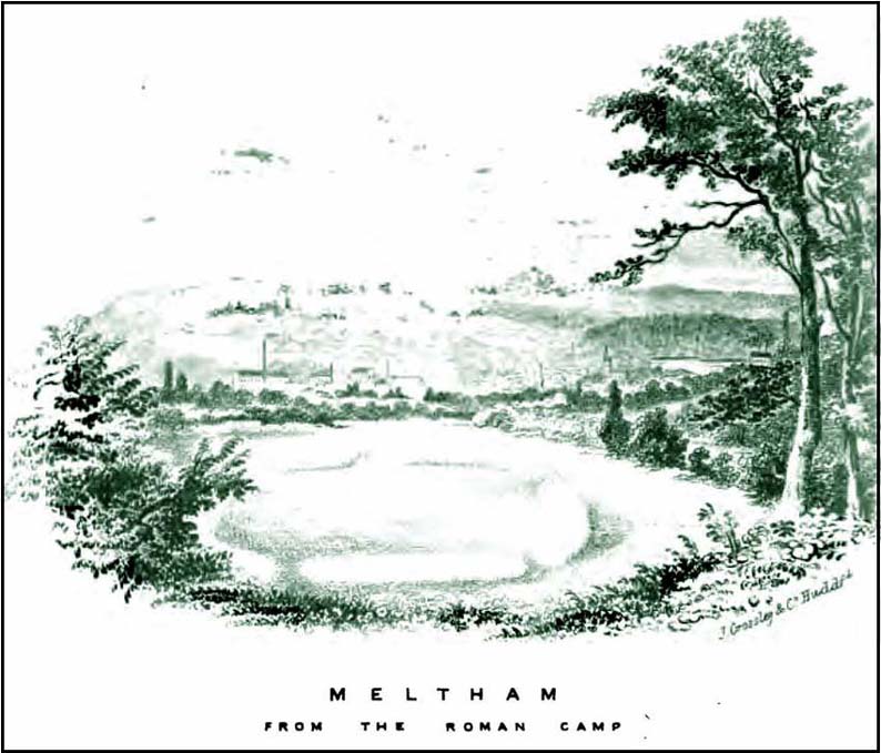
“In the…township of Meltham are the remains of a Roman encampment, on the moor below West Nab, a short distance to the left of the road which leads thence to the village…forming nearly a square of about four chains. When I visited the place about twenty years since, in company with the owner and other friends, the whole was very distinct and perfect. This piece of ground has since been brought into cultivation, yet the trenches are still visible. This encampment would appear only to have been made to supply some temporary emergency.”
Joseph Hughes old drawing of the ‘Roman’ campWestern embankment & ditch
But Mr Morehouse’s speculation of its Roman origin and function are known to be untrue. The site is in fact of Iron Age origin and was probably in semi-permanent use for long periods between Spring and Autumn. But the ‘Roman’ nature of the site was echoed a few years later, albeit briefly, in Mr Hughes’ History of Meltham (1866), where he told that “querns or hand-mills for grinding corn were found” at the site.
In 1909, the Saddleworth antiquarian Ammon Wrigley excavated the site but found little that could enable a correct dating of the enclosure. It was explored again a few years later by Ian Richmond and then again by J.P. Toomey in the 1960s. Bernard Barnes (1982) summarised their respective findings, telling:
“Rampart of rubble and earth 7 feet wide faced with drystone walling; original height c.10 feet; V-shaped rock-cut ditch, 5½ feet deep and 6 feet wide, and a counterscarp bank similar to inner rampart with drystone revetment surviving to 4 courses. Northeast entrance had double timber gateway. Pre-rampart palisade trench on at least 2 sides of the enclosure with vertical posts 2 feet apart. Finds include 2 stone discs, rough out beehive quern, iron slag and very small fragments of pottery. Site dated to Iron Age.”
Another enclosure of similar period can be found a few hundred yards to the south.
Take the A6034 road between Addingham and Silsden and, at the very top of the hill between the two towns, at Cringles, take the small road of Cringles Lane north towards Draughton. Less than a mile on, veer to left and go along Bank Lane until you reach the track and footpath on your right that takes you to Moorock Hall. On the other side of the Hall, take the track on your left, along the wallside; and where the track turns left again, look into the field on the other side of the wall. You can see some of the ditch and embankment running across the field.
Archaeology & History
Found within the southwestern segment of the gigantic Counter Hill enclosure, near Woofa Bank, Eric Cowling (1946) described “an almost obliterated fortification” which has certainly seen better days — though you can make out the ditched earthwork pretty easily at ground level. When T.D. Whitaker visited this place sometime before 1812, he described it as a camp that “was found to contain numbers of rude (?!?) fireplaces constructed of stone and filled with ashes.” He also thought the enclosure was Roman in nature.
Western line of embankment
It’s a large site. Running around the outer edge of the embankment, this enclosure measures roughly 378 yards (345m) in circumference. It has diameters measuring, roughly east-west, 132 yards (121m); and north-south is 95 yards (87m). The ditch that defines the edges of the enclosure averages 6-7 yards across and is give or take a yard deep throughout — but this is not an accurate reflection of the real depth, as centuries of earth have collected and filled the ditch. An excavation is necessary to reveal the true depth of this. There also seems to have been additional features constructed inside the enclosure, but without an excavation we’ll never know what they are. Examples of cup-marked stones can be found nearby.
The Marchup Hill enclosure was described by the early antiquarian James Wardell (1869), who visited this and the other earthworks around Counter Hill. He told that this was,
“of oblong form, but broadest at the west end, and rather larger than the other. When the area of this camp was broken up, there were found some numbers of rude fireplaces constructed of stone and filled with ashes, and also a large perforated bead of jet.”
E.T. Cowling’s plan
Modern opinion places the construction of this enclosure within the Iron Age to Romano-British period, between 1000 BC to 300 AD. E.T. Cowling (1946) thought the Iron Age to be most likely, but it may indeed be earlier. His description of the site was as follows:
“At the foot of the southern slope of Counter Hill and close to the head waters of Marchup Beck is an almost obliterated fortification. These remains are roughly rectangular, but one side is bent to meet the other; the enclosure has rounded corners and has a ditch with the upcast at each side. The inner area is naturally above the level of the surrounding ground. In spite of heavy ploughing, the ditch on the western side still has a span of fifteen feet and a depth of five feet between the tops of the banks. Whitaker states that the camp “was found to contain numbers of rude fireplaces constructed of stone and filled with ashes.” These hearths appear to be the remains of cooking-holes such as are often found on Iron Age sites… Cup and ring markings are close at hand, but no flints have been found or trace of Mid-Bronze Age habitation. The enclosure is badly planned, the upcast on the western side would aid an attack rather than the defence.”
…to be continued…
References:
Cowling, Eric T., Rombald’s Way, William Walker: Otley 1946.
Wardell, James, Historical Notes of Ilkley, Rombald’s Moor, Baildon Common, and other Matters of the British and Roman Periods, Joseph Dodgson: Leeds 1869. (2nd edition 1881).
Whitaker, Thomas Dunham, The History and Antiquities of the Deanery of Craven in the County of York, (3rd edition) Joseph Dodgson: Leeds 1878.
Take the single-track Glen Lochay road down past the Bridge of Lochay hotel at the edge of Killin, as if you’re gonna visit the superb cup-and-ring carvings opposite Stag Cottage (or Duncroisk 1). Immediately past the garden of Stag Cottage is a small copse of trees and a couple of old wartime-looking buildings in the field above the roadside. Go up past these buildings and onto the rise at the back. You’re here.
Archaeology & History
This is a fascinating site of multi-period historical usage, which Dugald MacInnes (2001) thinks may have its origins in the early Bronze Age or neolithic; but which I reckon was probably first used in the Iron Age. Either way, we have here a large interesting well-preserved prehistoric stone enclosure, that has yet to be excavated. I first came across it whilst gathering firewood from the adjacent copse and was quite puzzled by what seemed to be an extensive curved line of ancient walling running from its east to northeastern section, typical of prehistoric Iron Age walled structures common in northern England and beyond. I must have paced back and forth along a 75 yard length of this section of walling a half-dozen times, wondering what the hell this place was. And the more I looked at this section of the enclosure, the greater my conviction grew that this was constructed in prehistoric times. And thereafter came the puzzle.
Looking down at the walled enclosureNW section of walling
For along the southern walled section were a number of much more modern medieval and much later walled sections, including the remains of buildings that looked barely Victorian in age and nature. The site was obviously being used presently by the local farmer for his cattle. And so it became obvious that here was a large oval-shaped stone-walled enclosure or settlement that had been used over and over again through many centuries, with its origins seeming to be Iron Age in nature. Measuring approximately 195 yards (178m) in circumference, the structure has a maximum E-W diameter of 78 yards (71m) and N-S measurement of 44 yards (40m).
The mass of evidence for prehistoric activity is all round this hidden enclosure, with the fascinating clusters of cup-and-ring stones of Duncroisk and Corrycharmaig close by. The small standing stones of Tirai 600 yards NW, and a similar prehistoric enclosure at Tullich ¾-mile NW show ample evidence of prehistoric man in this part of Glen Lochay.
Despite the size of the place, no literary reference of it occurs before MacInnes and his team came here. His description is as follows:
“An oval enclosure, its boundaries formed principally from large water-worn boulders interspersed with drystone walling and in part by an earthen bank in the easternmost section, sits atop of a natural terrace about 155m OD. The terrace slopes steeply to the west and south and cut into the western slope is a track, the course of which cannot be determined beyond the extent of the slope. This track displays revetment in the form of stone coursing.
“The SW corner of the enclosure is angular rather than the rounded character of the other sections. The W and SW sections are composed of coarsely constructed stonework in which large, 1m wide, often 1m high, water-worn boulders at two to three metre intervals, are interspersed with smaller boulders which form crude drystone coursing.
“The NE section is formed largely of large boulders, one of which is 1.5m in width and 1.2m high by 0.8m wide. Sections of the northern part would appear to be robbed out, perhaps to construct the modern wall which lies about 25m to the north. There are no remaining large boulders there, however, which could indicate their absence in the original construction of the enclosure. The central section of the northern perimeter may be constructed of two outer skins of boulders, forming a wall about 0.9m wide, 0.4m high on its exterior, but reducing to 0.3m on its interior side. Two sections could possibly be filled with a rubble core.
“The E section is formed by a low 0.3m high earthen grass-covered bank with occasional boulders. This bank is about 0.2m high relative to the interior, but is about 0.5m to.0.8m high on its exterior side. The NW side shows on the western side more evidence of double skin, rubble construction. Close inspection of the stonework around the perimeter of the enclosure has revealed no evidence of shot-holes. However a monolith situated in the NE has been split, but this would appear to be natural. The interior of the enclosure is more or less level and grass-covered. There is however, a slight drop in level in the western third of the interior. This is defined by a linear slope which may be a lynchet.”
Northern section of enclosureUpright stone in eastern wall
Northeast of the enclosure about 40 yards away is the normal drystone walling running along the sloping hillside. But more intriguingly to archaeologists is the second line of much more ancient walling 76 yards (70m) further up the grassy slope, running at an angle across and uphill in a northwesterly direction. This line of walling has a distinctly Iron Age flavour to it and is composed of some very large upright monoliths, almost Bronze Age in nature! It continues into the next field for some 400 yards and onto Duncroisk Burn — the other side of which we find another line of ancient walling with an impressive cup-and-ring stone incorporated.
There’s tons more to be said of this region…
…to be continued…
References:
MacInnes, Dugald, An Archaeological Field Survey of a Deserted Settlement at Duncroisk Farm, Glen Lochay, Association of Certified Field Archaeologists: Glasgow 2001.
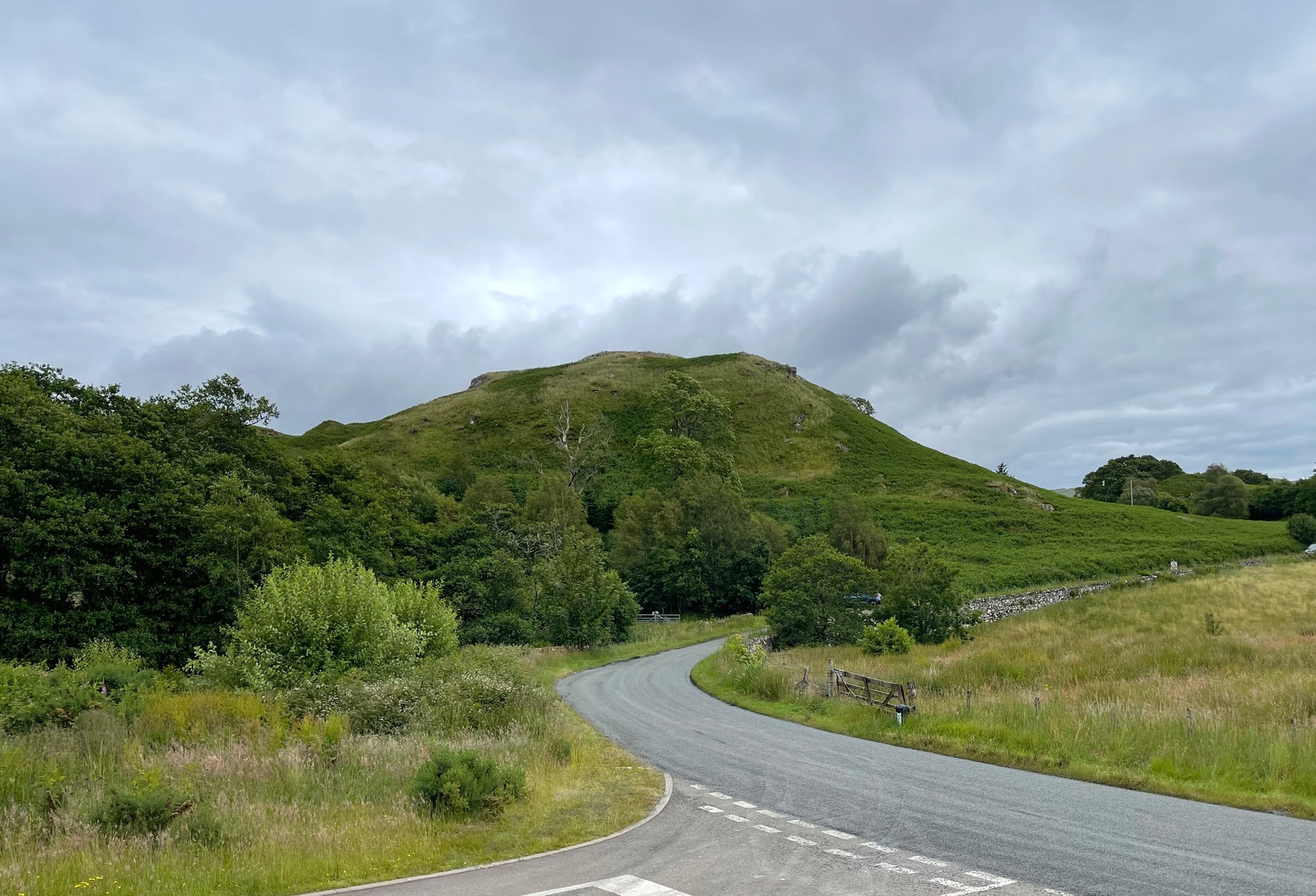
You can see the rocky hillock ‘pon which this old dun sits from the roadside – and can approach it by either climbing up the slope, or go round t’ back and approach it from t’ track. Either way, it’s easy to get to.
Archaeology & History
This old dun was rather ramshackled when I used to sit here, sometimes on my way home from working at the Inverliever Nursery, a bit further up the lochside — but it was a good spot to sit and daydream into Loch Awe and beyond…
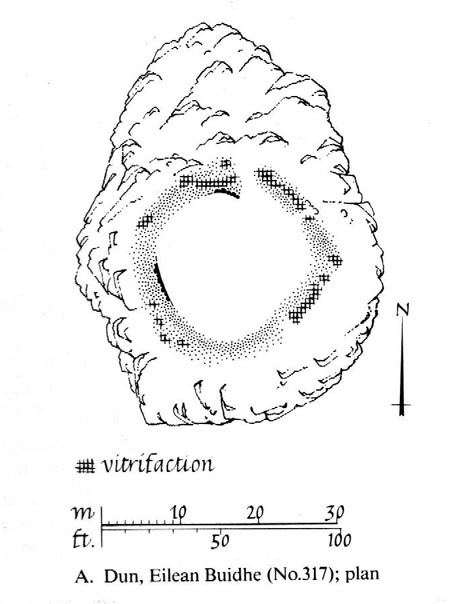
Described as a vitrified fort, the structure is oval in shape. Thought to have been constructed in the Iron Age, Dun Toiseach was originally about 50 feet across and its walls averaged 10 feet thick, with an entrance at its northeastern side. The Royal Commission lads (1988) described it thus:
Dun Toiseach plan (after RCAHMS 1988)
“Situated on a prominent rocky knoll overlooking the S end of Loch Awe 250m ESE of Torran farmsteading, there is a severely ruined dun measuring about 16m by 13m within a wall which has been some 4m thick. Two stretches of outer facing-stones are visible, as well as a few possible stones of the inner face, but, particularly on the NE, the wall has been severely robbed and the core material scattered. The entrance lies on the NE, the innermost portion of the SE passage-wall and what may be a door-jamb on the opposite side still being visible. The knoll has acted as a focus for recent field-walls, but there is no indication that it was additionally defended by outworks. A small modern cairn…surmounts the dun wall on the SE.”
References:
Royal Commission on the Ancient & Historical Monuments of Scotland, Argyll – Volume 6: Mid-Argyll and Cowal, HMSO: Edinburgh 1988.
To reach here, follow the same directions to get to the Apronful of Stones giant cairn. Walk on the footpath past the cairn for about 200 yards until you reach a large gap where the old walling has collapsed. Go through this and walk across the limestone rocks, towards the small rocky hillock rising up 100 hundred yards in front to your east (not the more rounded one to the north). That’s it!
Archaeology & History
This is a most intriguing find, and one to which I can find no other literary reference (though I aint checked Brayshaw’s Giggleswick). An undeniably large natural hillock has been modified and added to by people at some considerable time long ago and at some considerable effort! Measuring more than 47 yards (43m) roughly east-west, and 21 yards (19m) north-south, the most definable man-made remains here is the length of elliptical walling on the southern and western edges. The internal circumference of the enclosure measures roughly 113 yards (103m) all round the edges. The northern and eastern sides of the hill would appear to be mainly natural, but seem to have been modified a little — not unlike the mass of settlements and enclosures a few miles to the east, like Torlery Edge, Lantern Holes and others around Malham Moor and district.
The site needs professional assessment: first to ascertain its period (which seems Iron Age on first impression, but could be much later), and second to ascertain its nature. On the ridges close by we find a veritable mass of archaeological remains, ranging between Bronze Age to Medieval in nature. The giant Apronful of Stones is only 172 yards (158m) south; the Sheep Scar cairn circle 156 yards (143m) northwest; and one of the remaining Sheep Scar cairns only 58 yards (53m) away. And hopefully when we return to the place next week (fingers crossed!), we’ll be able to get some more photos of the walling you can see that define some edges of the site…
…to be continued…
References:
Brayshaw, Thomas & Robinson, Ralph M., A History of the Ancient Parish of Giggleswick, Halton & Co.: London 1932.
From Feizor village, take the dirt-track south that cuts up between the two cottages and walk onto the level. From here, the walling bends round and a small cut runs up the slope on your left. Go up here and onto the top, bearing left again when you reach the footpath near the top of the slope. Walk along here until the hills open up before you and less than 100 yards along, just on the right-hand side of the path, you’ll notice the overgrown outline of a ring just by the side. Don’t miss it (like I did!).
Archaeology & History
Danny, Paul and I visited here a few weeks back on a fine sunny day and, my attention caught by some nearby rocks that got mi nose twitching, I just about walked past the place until Danny called me back and said, “Oy – ‘ave y’ not seen this?” Right under my nose no less!
Feizor Thwaite circle, looking northwest
The site’s a little known circular monument east of Feizor village, less than a mile northwest of the cairnfield above Stackhouse (where lives the Apronful of Stones and other prehistoric friends). Marked on modern OS-maps as an ‘enclosure,’ the site here is in fact an overgrown cairn circle, typical in size and form of the ones found at nearby Borrins Top, Burley Moor, Askwith Moor and elsewhere in the Pennines. Measuring (from outer edge to outer edge) 66 feet 6 inches east-west and 59 feet north-south, the remains here consist of a raised embankment of stones, encircling an inner flatter region consisting of many smaller stones beneath the overgrowth of grasses and vegetation. Locals told me that the some of the cairns up here were explored early in the 20th century by a local man called Tot Lord, but I’m unsure whether he looked at this one.
There are a couple of other smaller circular remains on the same grassland plain, clearly visible from aerial imagery, along with other crop-marks of human activity on this part of the Feizor Thwaite landscape. More antiquarian analysis could do with focussing here to see what can be found!
From Askwith village go up the Moor Lane and at the crossroads go straight across (Snowden Moor is across left). Go down and along Snowden Carr Road until the road levels out and, watch carefully, about 500 yards on from the crossroads on your left you’ll see a small crag of rocks in the fields above. Stop and go through the gate walking up the field and as you near the top you’ll see a gate across to your left that leads onto the moor. Go through this and on the path which veers up to the right up to the Tree of Life Stone. About 20 yards along, keep your eyes peeled just off-path, to the left, where a small rounded stone hides at the edge.
Archaeology & History
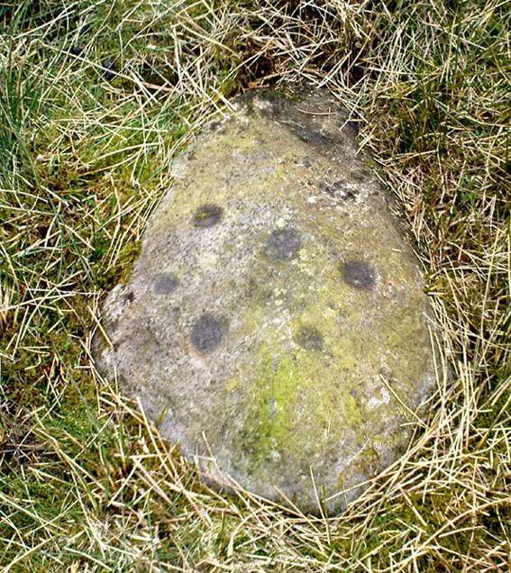
This was one of a number of cup-markings that Graeme Chappell and I came across in the early 1990s, though it didn’t receive any literary attention until included in Boughey & Vickerman’s (2003) survey. It’s only a small fella, consisting of just six or seven cups on its upper rounded surface — though what may be a carved line runs round the southern side of the stone. It seems to have been associated with a small cairn close by (a common feature on these moors) and adjacent prehistoric settlement walling. In Boughey & Vickerman’s text, they gave the following notes:
“Small rock with rounded surface at ground level, near scattered cairn. Seven or eight cups, possible grooves at edge.”
Drawing of the stone (Boughey & Vickerman)
[You’ll notice in the photo above that the local phantom painter had been here again, artistically highlighting the cup-marks. The photos we took were done earlier this year, when the paint (or whatever it is) was first noted. It had not been painted-in the previous autumn. But most notably is the fact that this carved stone has never previously appeared on the internet (until today) and the only other reference to it is in the standard Boughey & Vickerman text. This would indicate that whoever it is that’s painting the carvings up and down mid-Wharfedale possesses a copy of that text, aswell as being relatively new to the subject of rock art.]
References:
Boughey, Keith & Vickerman, E.A., Prehistoric Rock Art of the West Riding, WYAS 2003.