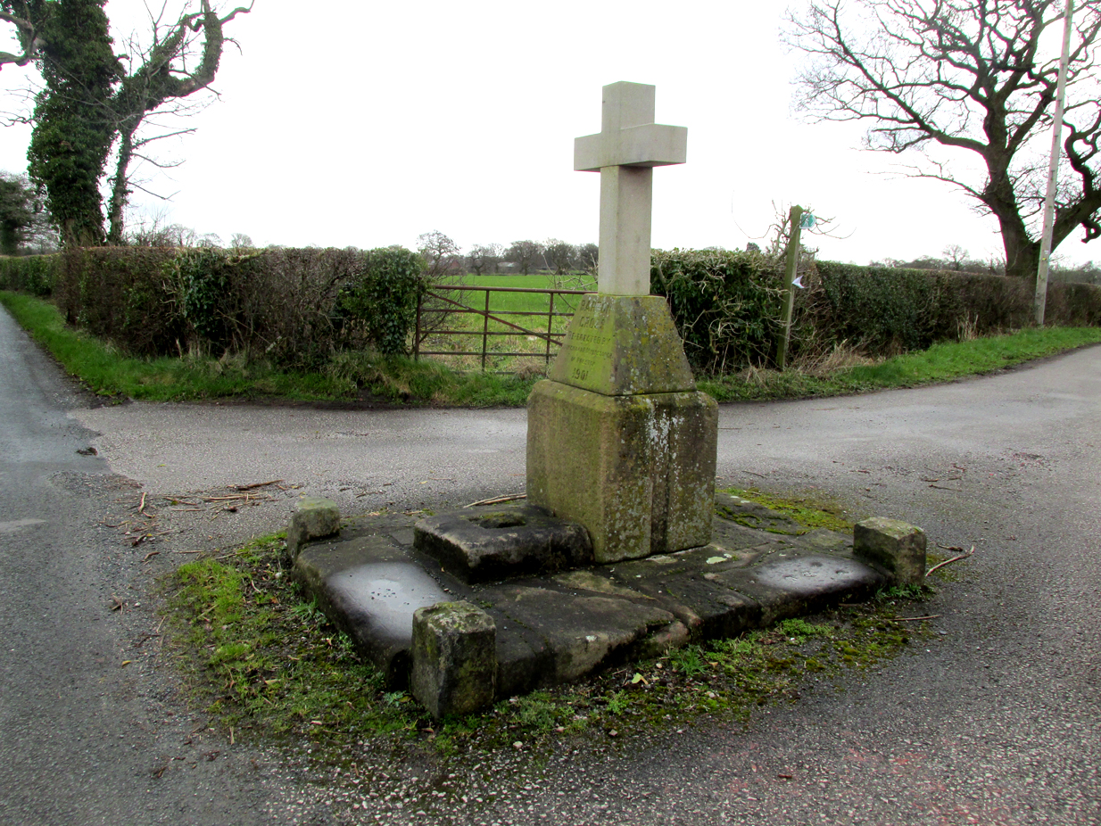
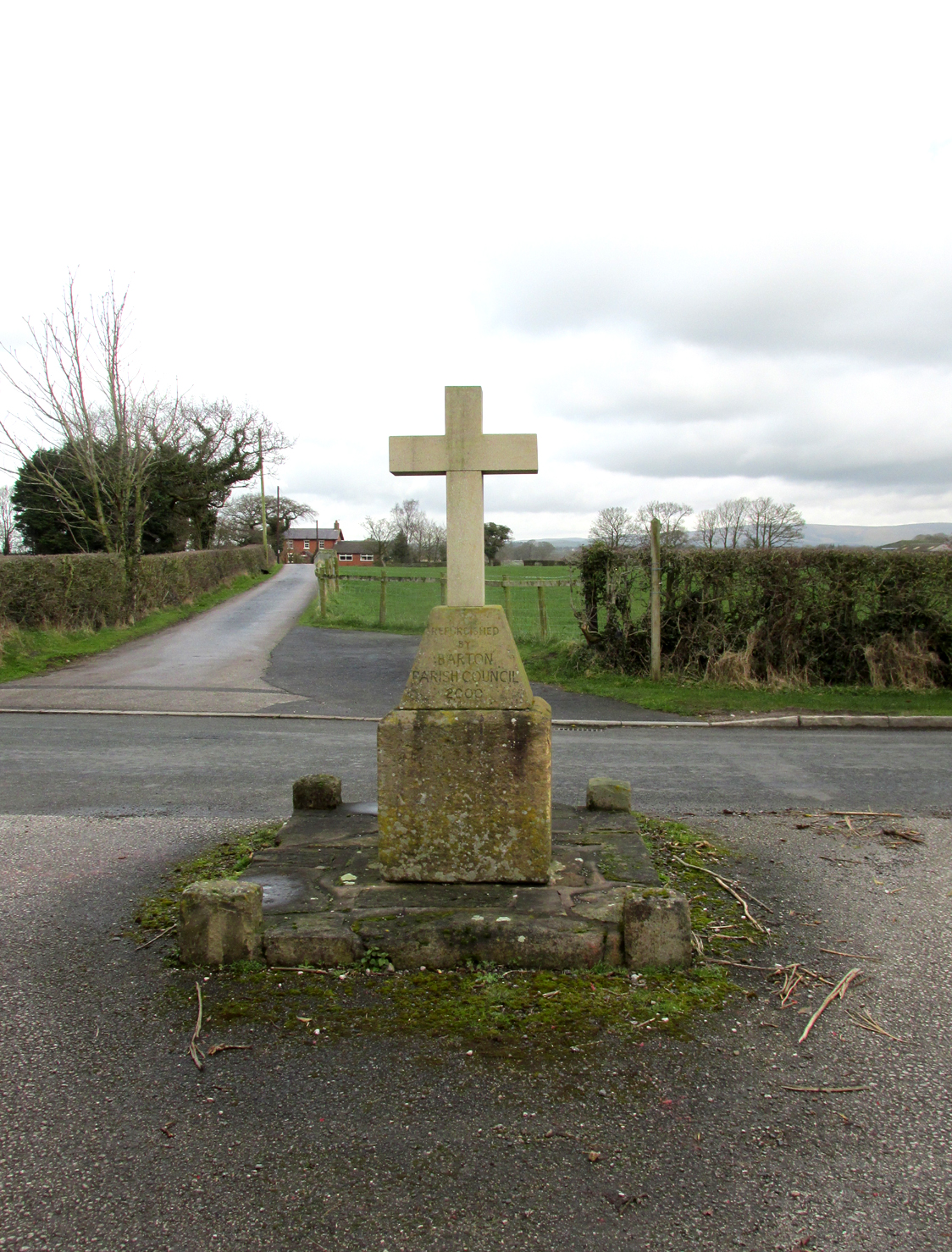
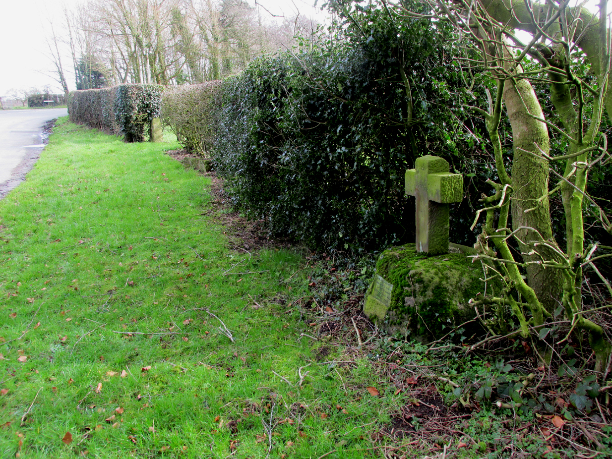
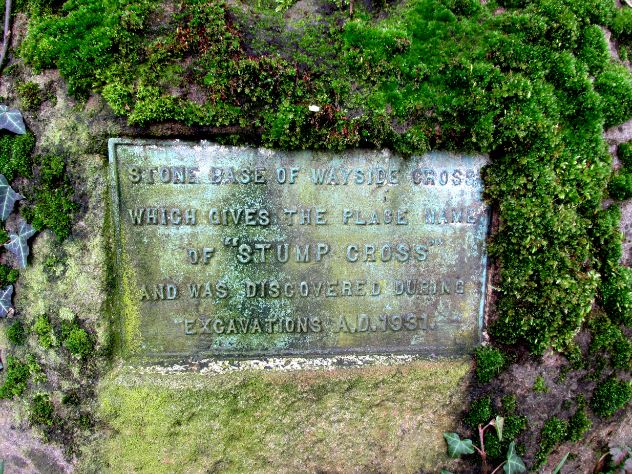
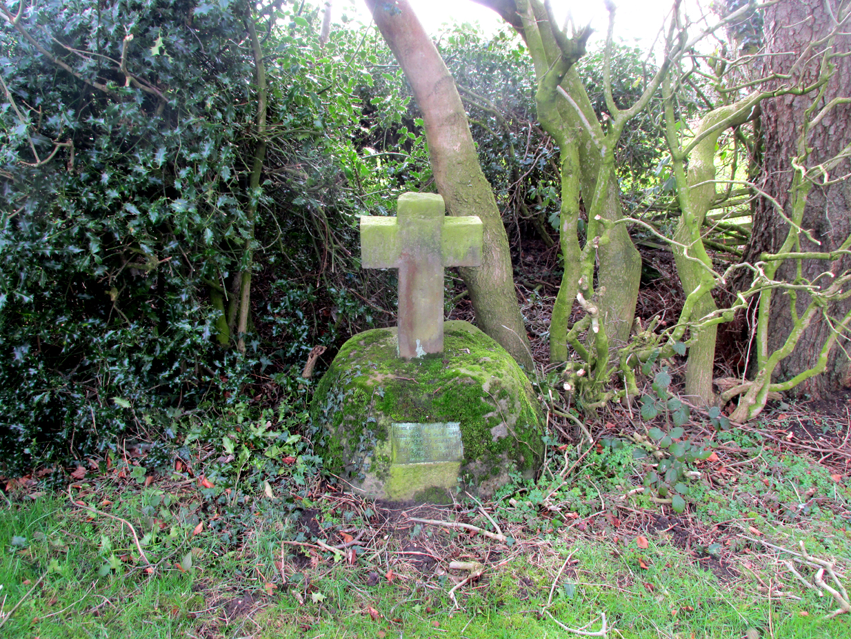
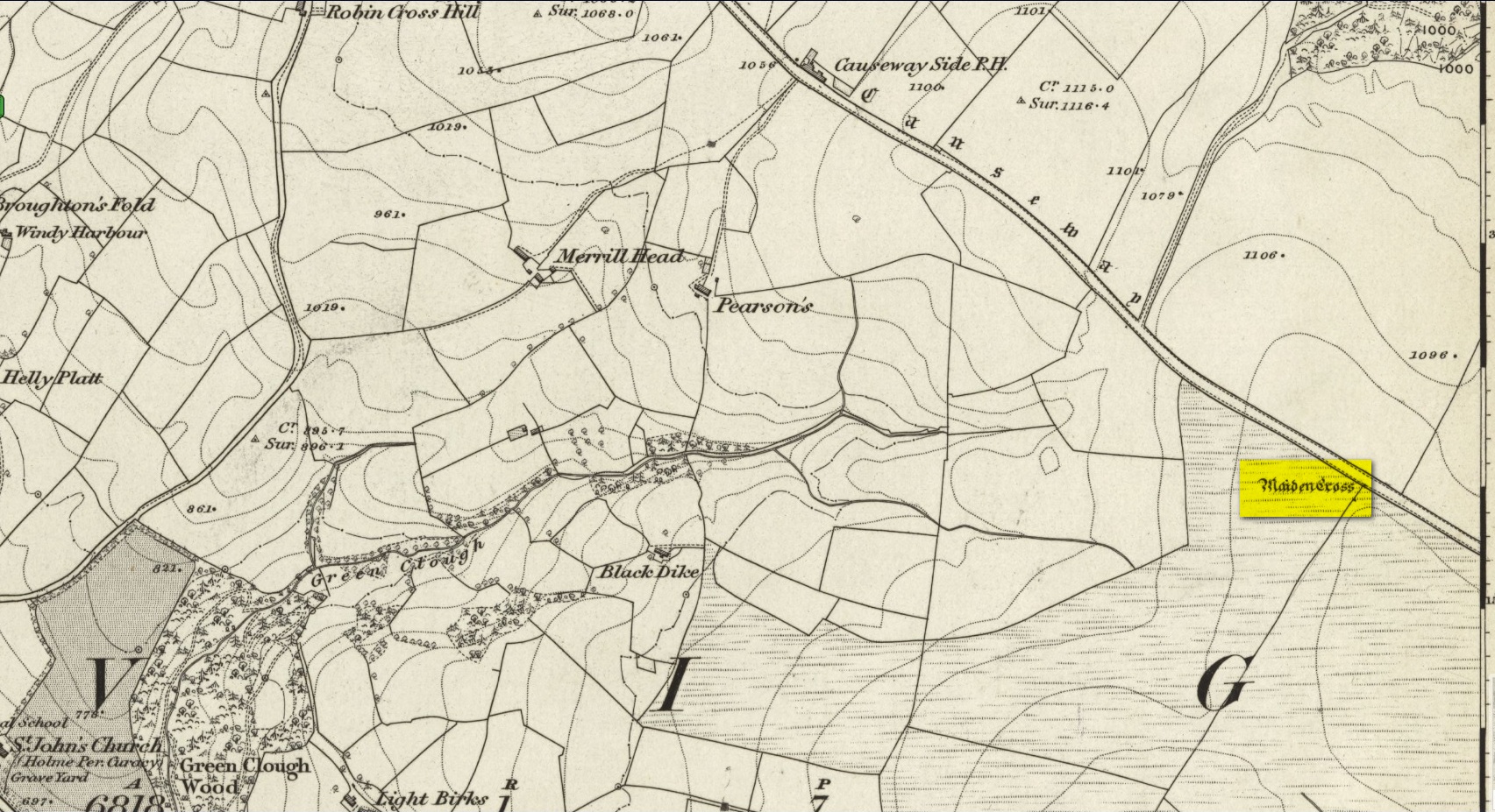
Cross (replaced): OS Grid Reference – SD 8936 2883
Archaeology & History
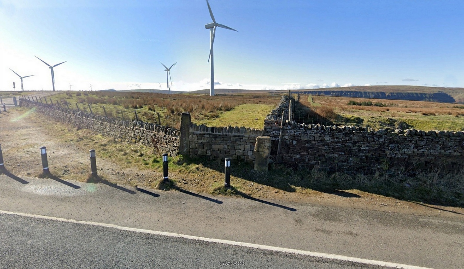
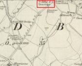
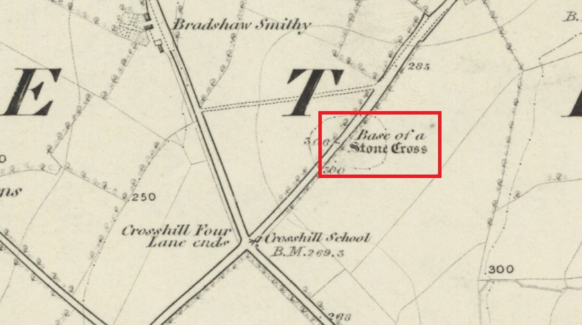
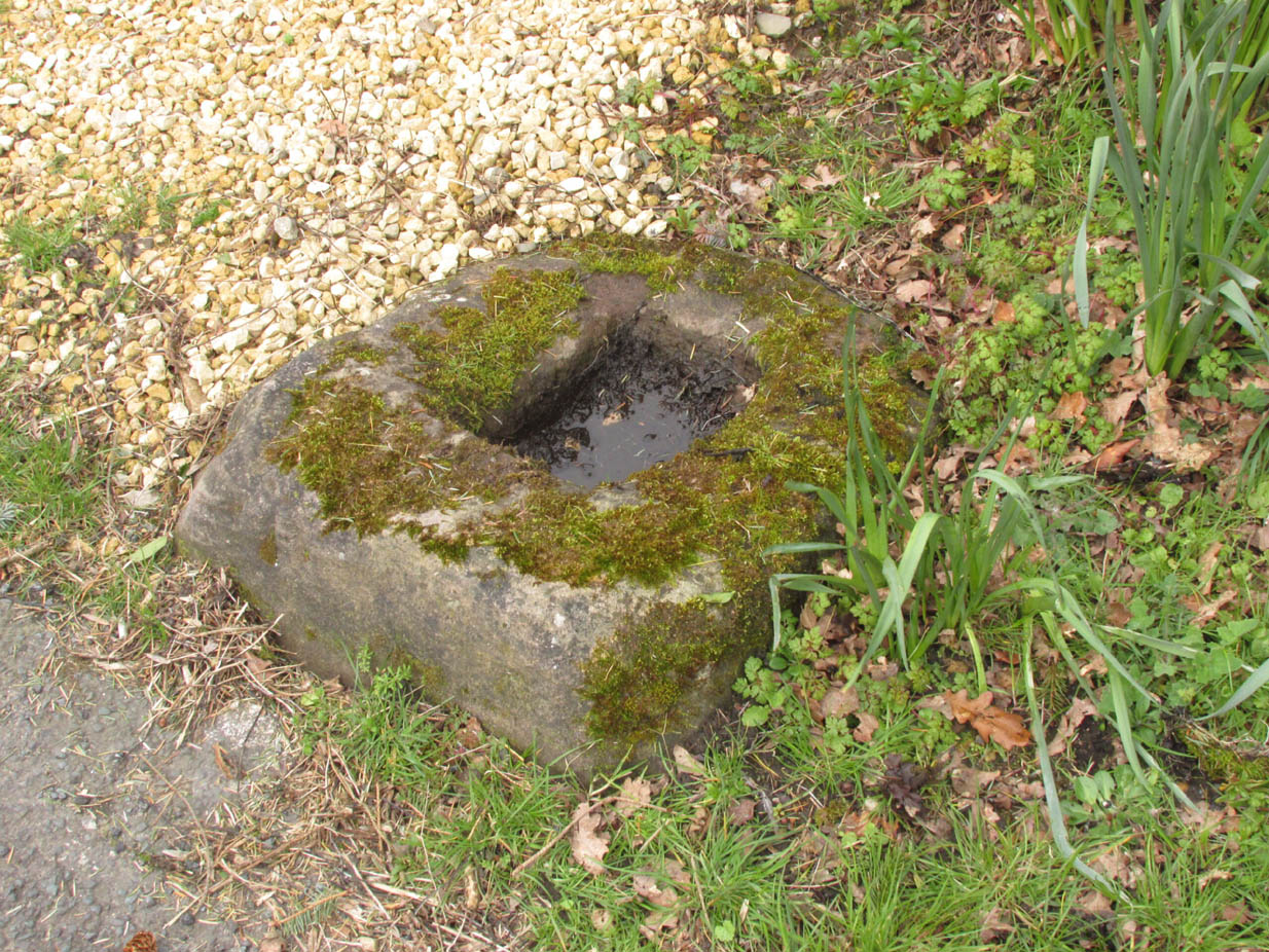
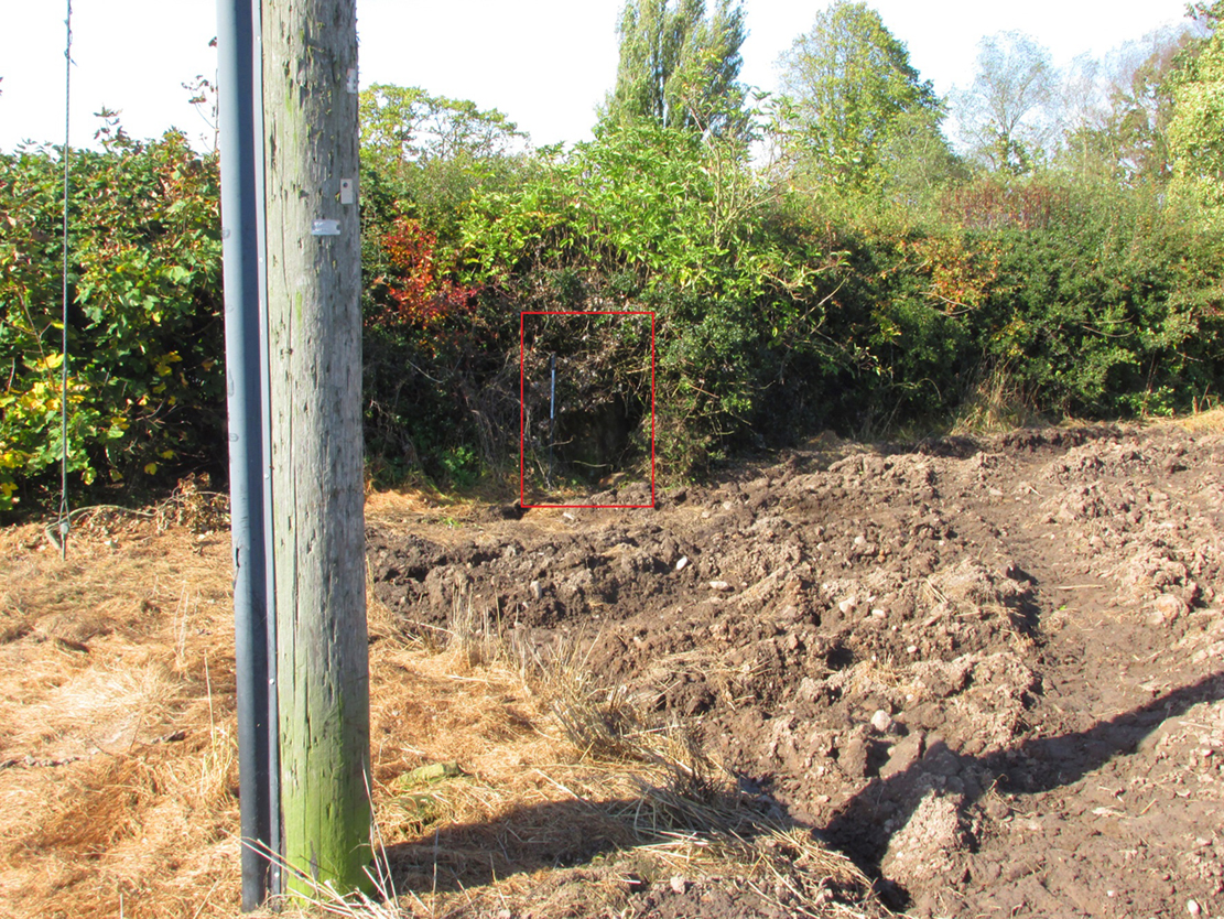
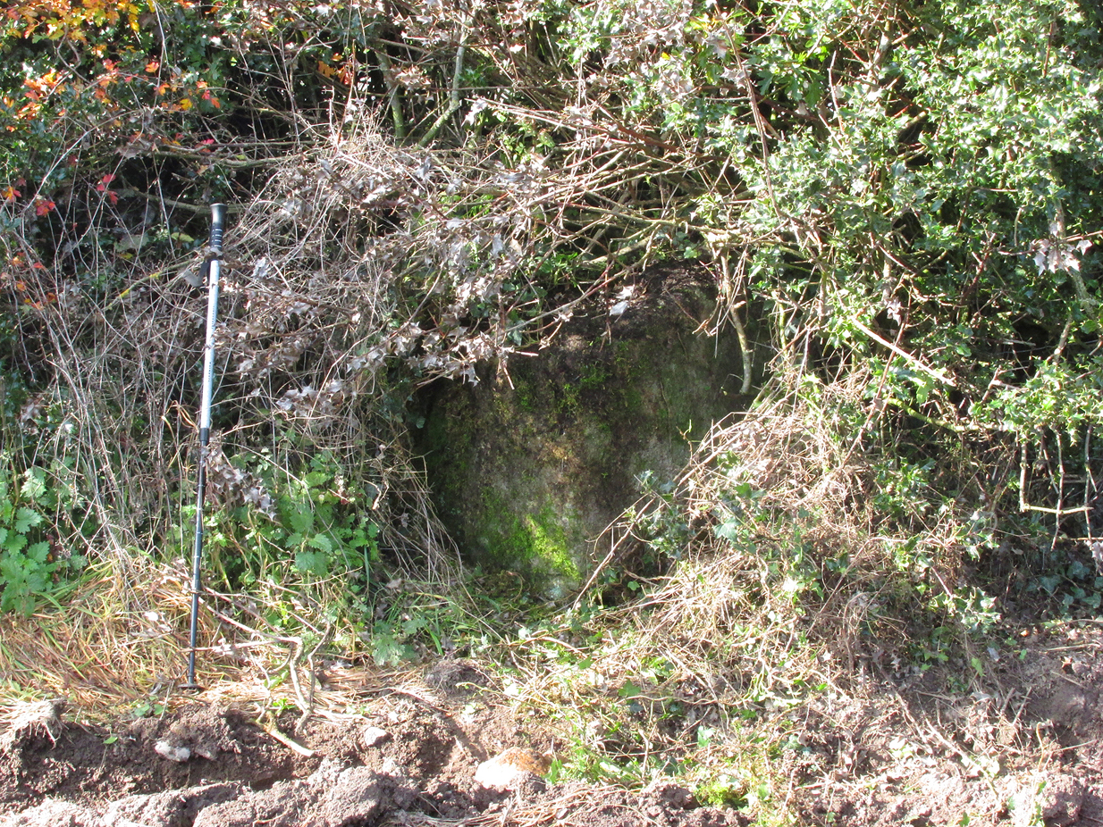
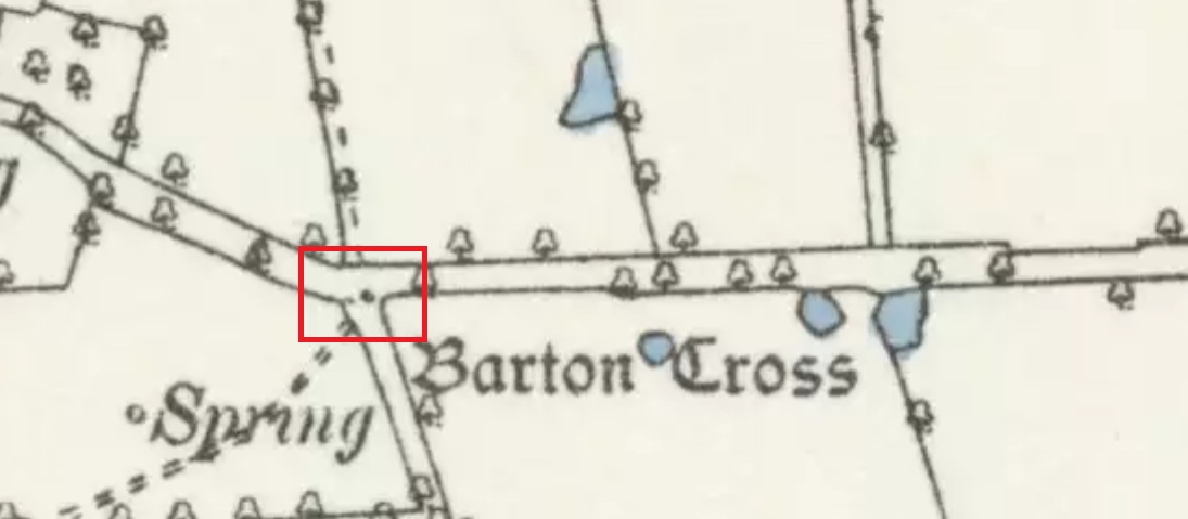
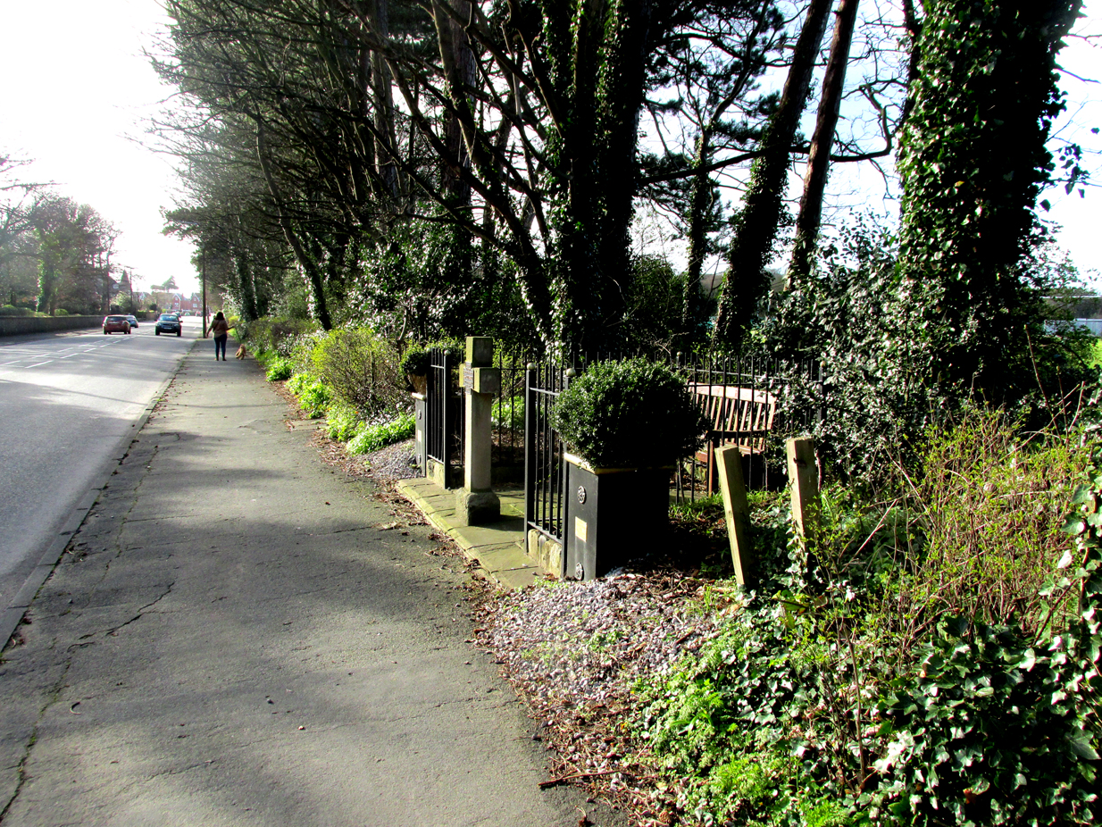
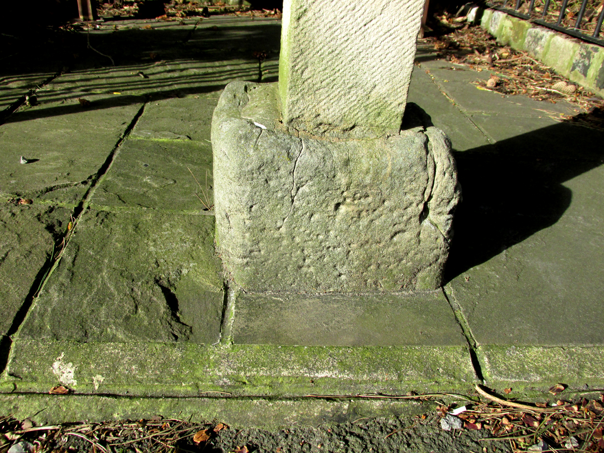
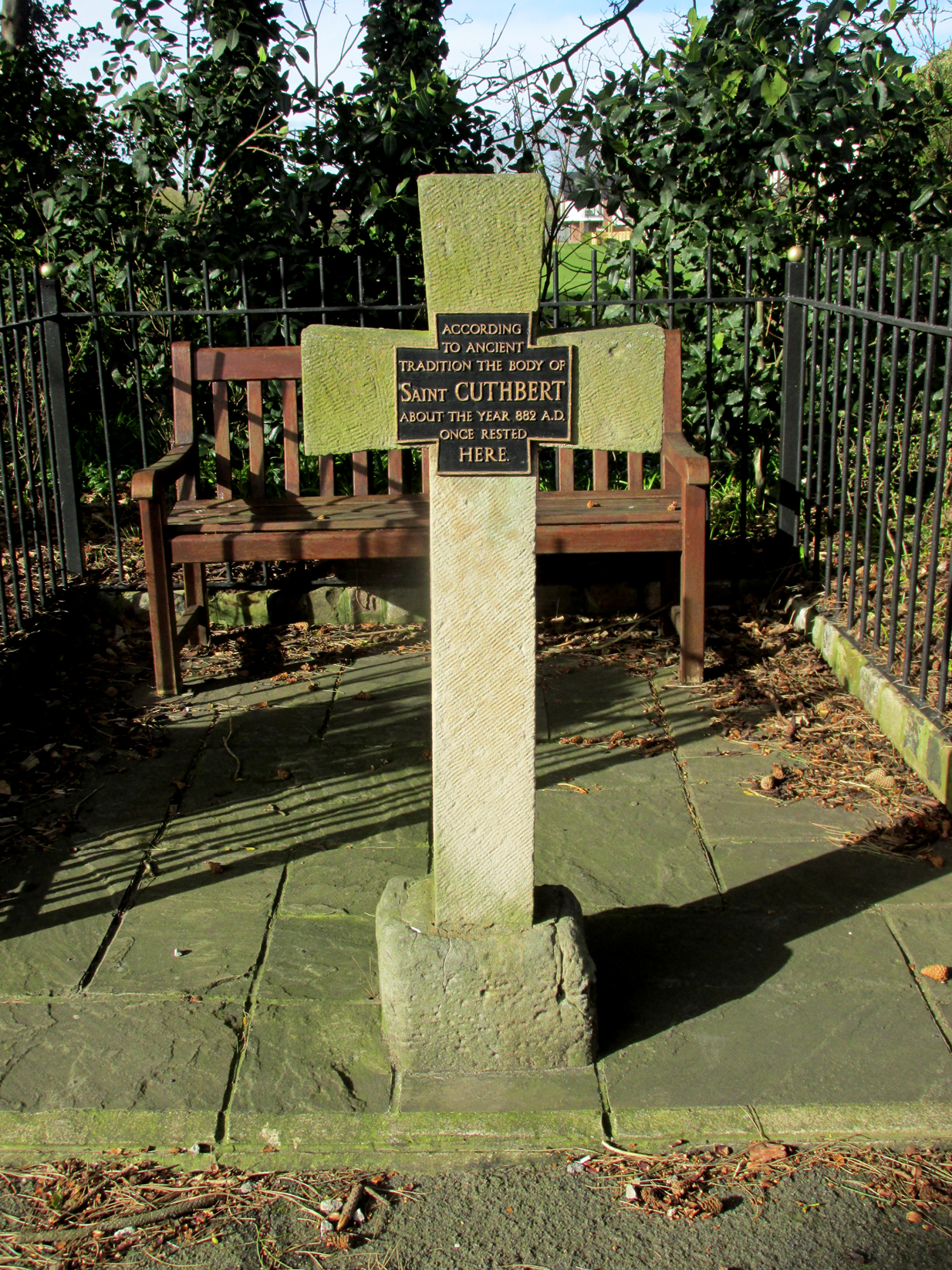
Highlighted on the 1848 Ordnance Survey map, the original stone ‘cross’ has apparently been moved from its location up against the walling 30-40 yards away and placed by the roadside, just as you’re going into where the windmills are, right at the very crown of the hill, across from the car-park. I’m not so sure it’s the original one to be honest—but I may be wrong. Clifford Byrne (1974) certainly thought this is the original stone. He may be wright. Byrne told that “the Marquis of Colne had a photograph of the stump of the cross in situ,” which would be good to compare. It’s nowt special to look at, but at least the site has been remembered, so to speak.
The Maiden Cross was one in a series of wayside crosses along this ancient high road—known as the Long Causeway—not only marking it out when the snows covered it in the old Winters that we used to get, but also possessing religious importance to travellers. It was first moved sometime in the 19th century and “utilised as a gatepost into Maiden Cross colliery”—itself long gone.
Folklore
The name given to the ‘cross’ comes from a story that’s found at a number of other ‘maiden’ place-names. There may be an element of truth in it. It was told to the great historian and folklorist T.T. Wilkinson by his grandfather in 1766 and, according to him, his grandfather before that! J.A. Waddington (1884) subsequently wrote down the tale that Wilkinson told him:
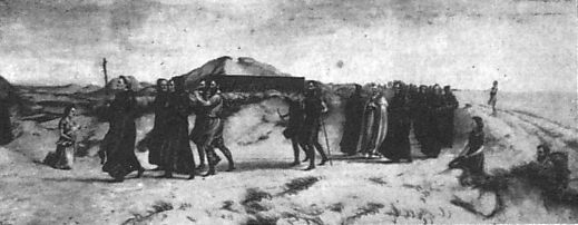
“During the time of the great rebellion, this was the trysting-place of a young shepherd with his lady love. Often did they meet to pledge their simple vows at this lonely place, until one day a messenger came from Towneley to collect as many young men as he could get to swell the ranks of Rupert when he passed through this part to join the Royal forces at York, a march which ended with the disastrous fight at Marston Moor, on whose bloody sod lay stretched the chivalrous Towneley, and a many of his followers, including this young man, the victims of a tyrannical and ambitious king. For many a long year after this tragical event the poor demented maiden would repair to this hallowed spot, repeating with a sorrowful voice his promise to return.”
This was curiously described by Ormerod (1906) as “a pathetic tradition”! He much preferred the simple idea of this (and the other crosses along the road) as merely serving “the capacity of guideposts to the traveller (overtaken in a mist or by the swiftly lowering shades of light) who might be traversing these lonely roads”, as Waddington put it. Ormerod cited a conversation he had with “an old road mender” which for him confirmed the idea:
“Asked if he had heard what was the object of these crosses, he said, that “Joonas Lee said as they were put up 250 yer sin, for guideposts for’t pack horses, between Halifax and Brunshaw” (Burnley), adding, as if to give more weight to the authority he had quoted: “An he wur a far larned chap wur Joonas—he wur a preycher.”’
Walter Bennett (1941) meanwhile, thought its name derived from the Virgin Mary and this cross, at least, possessed religious importance.
References:
- Bennett, W., The History of Burnley – volume 1, Burnley County Council 1946.
- Byrne, Clifford, A Survey of the Ancient Wayside Crosses in North-East Lancashire, privately printed 1974.
- Holden, Joshua, A History of Todmorden, Manchester University Press 1912.
- Ormerod, T., Calderdale, Lupton Bros: Burnley 1906.
- Waddington, J. Arthur, ‘The Crosses in and Around Burnley’, in Transactions Burnley Literary & Scientific Club, volume 1, 1884.
Acknowledgements: Huge thanks for use of the Ordnance Survey map in this site profile, reproduced with the kind permission of the National Library of Scotland.
© Paul Bennett, The Northern Antiquarian