Cup-Marked Stone: OS Grid Reference – NN 73838 24299
Getting Here
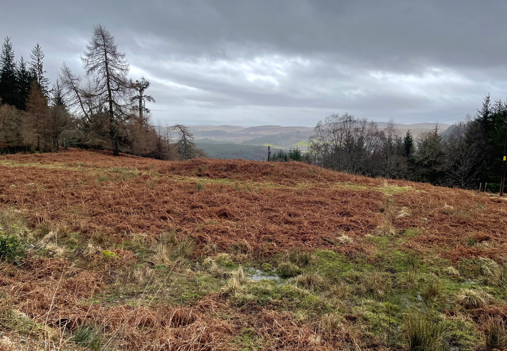
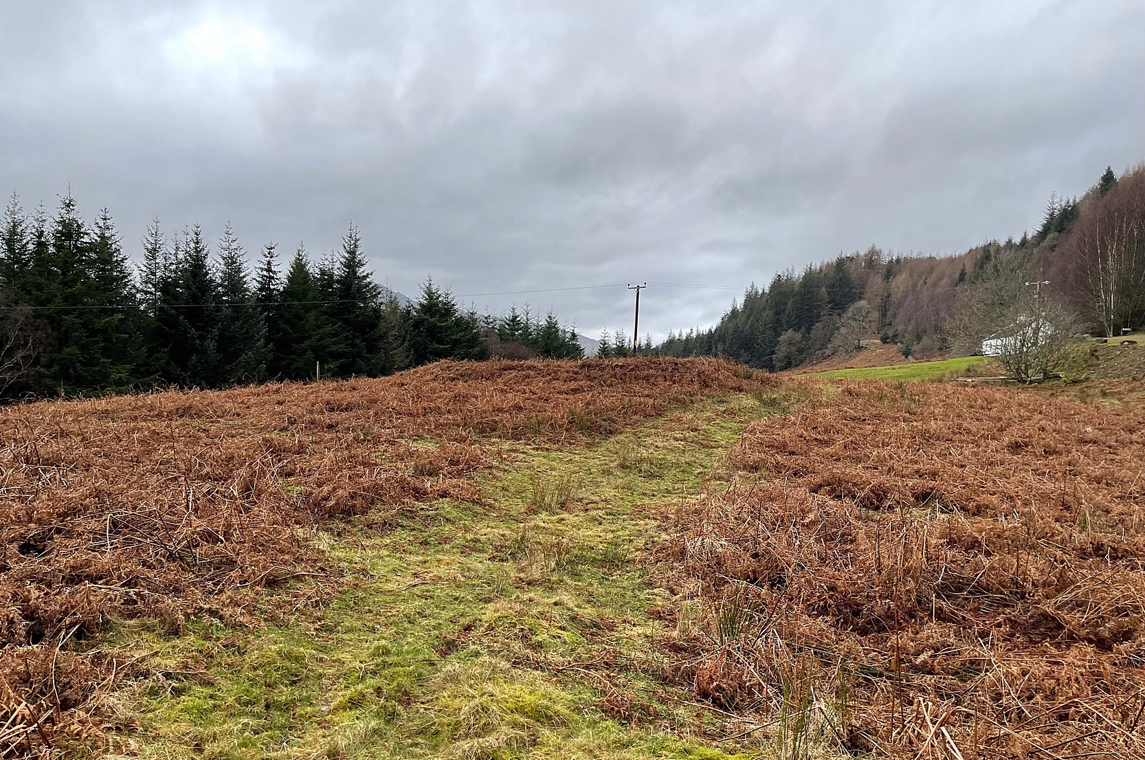
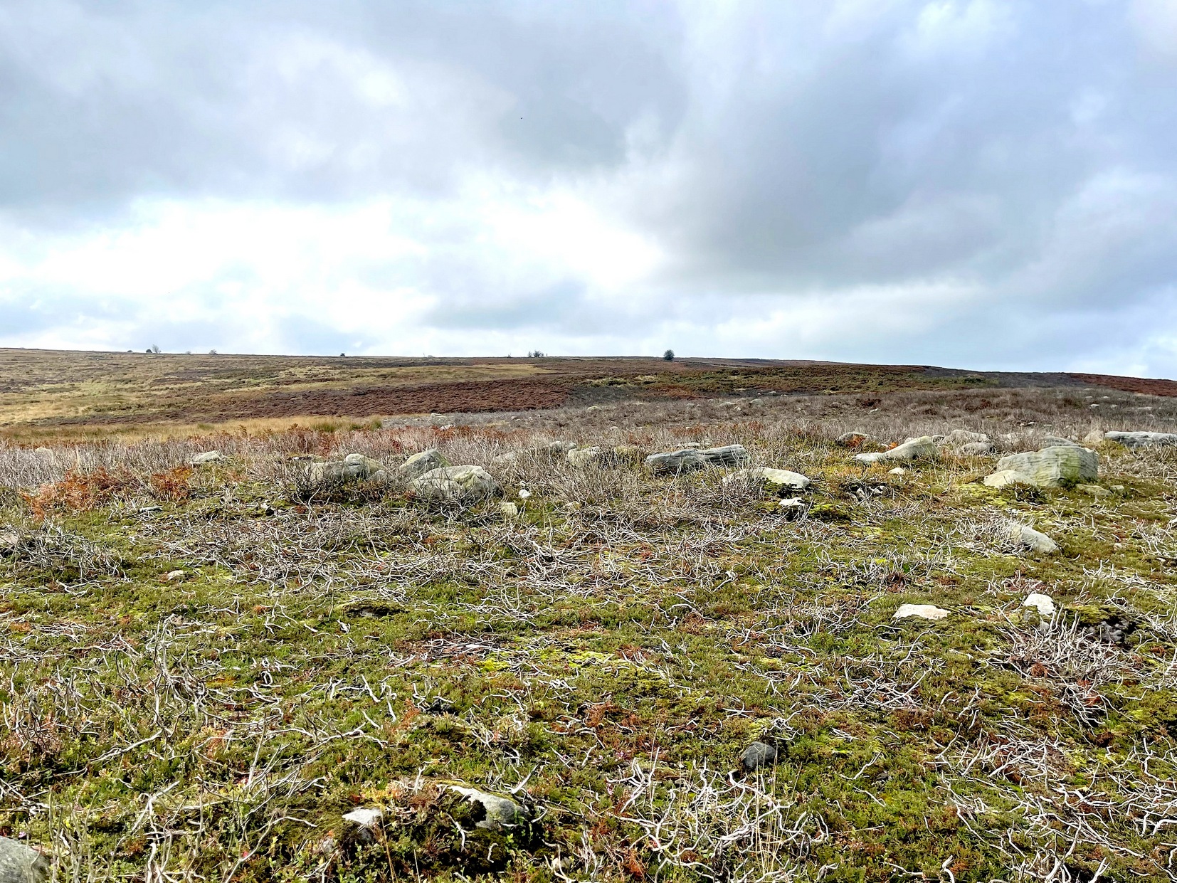
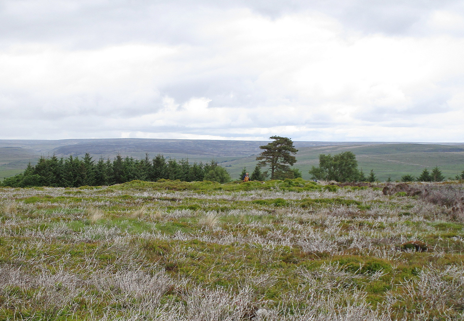
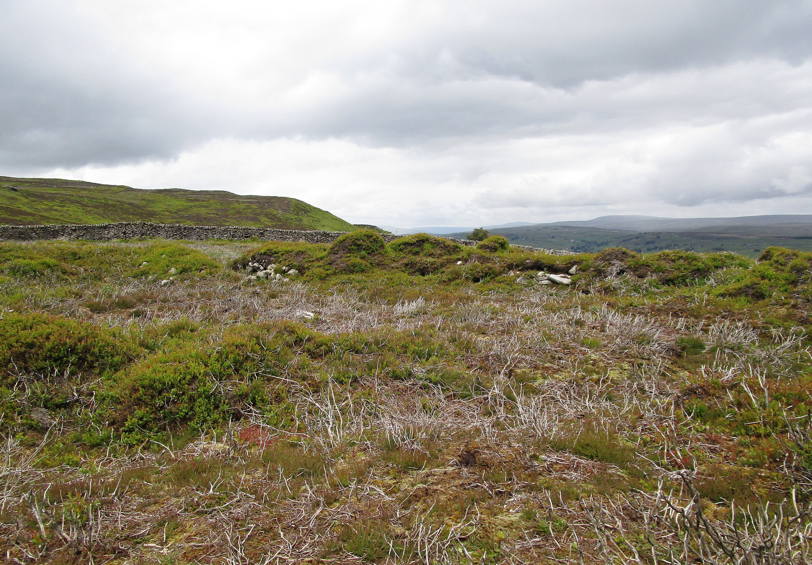
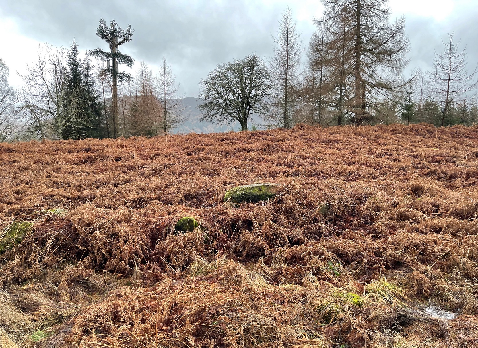
Along the A85 road between Comrie and St Fillans, just over a mile out of Comrie, on the right-hand side (north) of the road is the small farm-track into the fields where the ruined stone circle of Tullybannocher lives. Walk up this track (known as Maam Road), past the stones, and keep going uphill for more than a mile (literally 1 mile up, another track turns sheer right, but ignore it) where the track eventually levels-out; keep walking for another 600 yards, slightly downhill, until you reach a distinct fork in the track where you need to veer right, uphill, and keep walking up the track for ⅔-mile (1km) where you’ll eventually see a cottage ahead of you. 150 yards before this, to your left, down the slight slope and just as it begins to slope back up again on the other side, there’s some olde walling with a coupla big stones in it. It’s there!
Archaeology & History
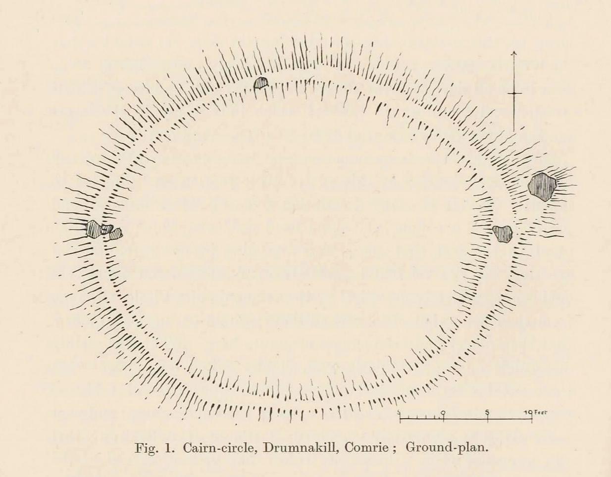
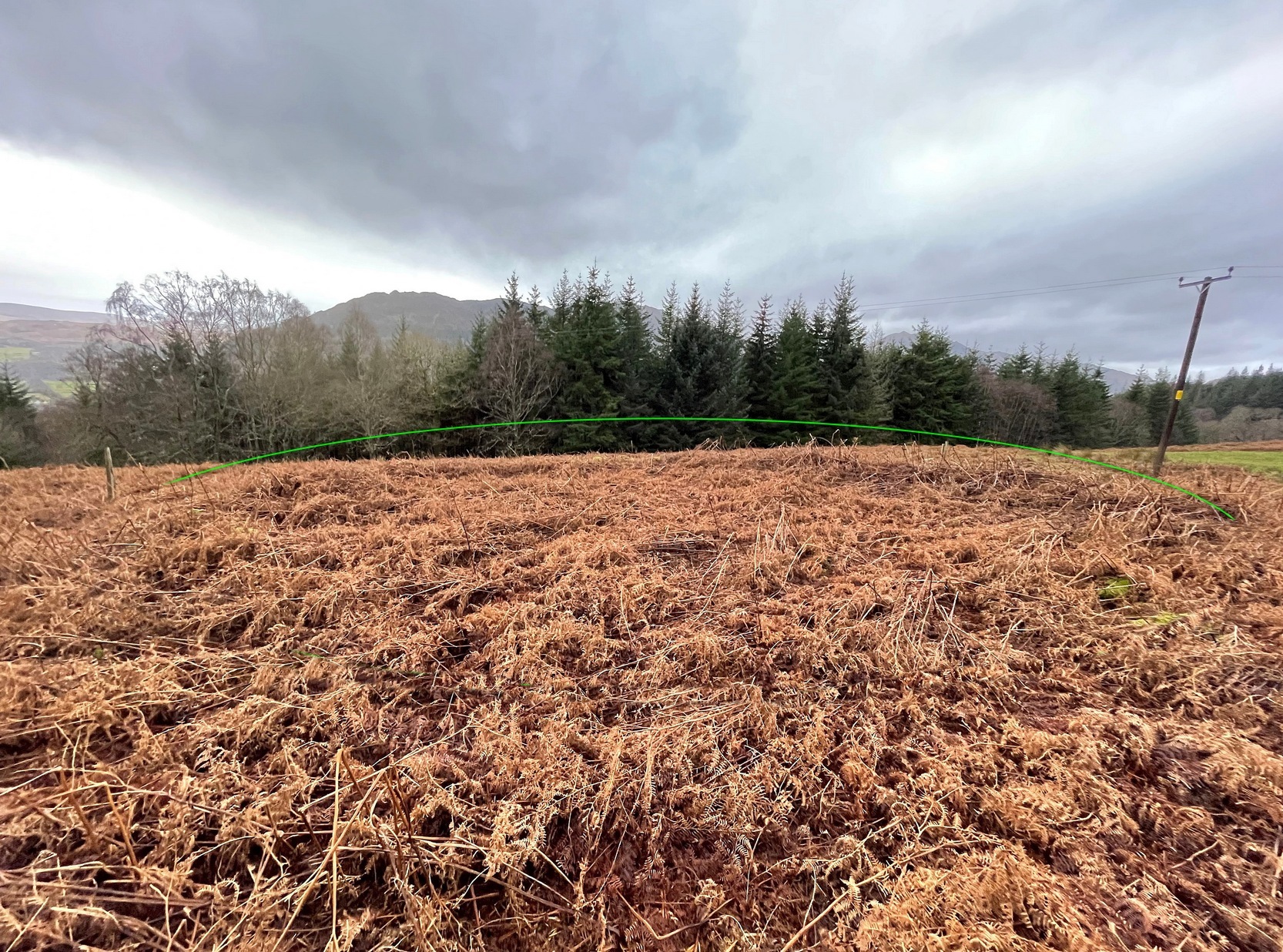
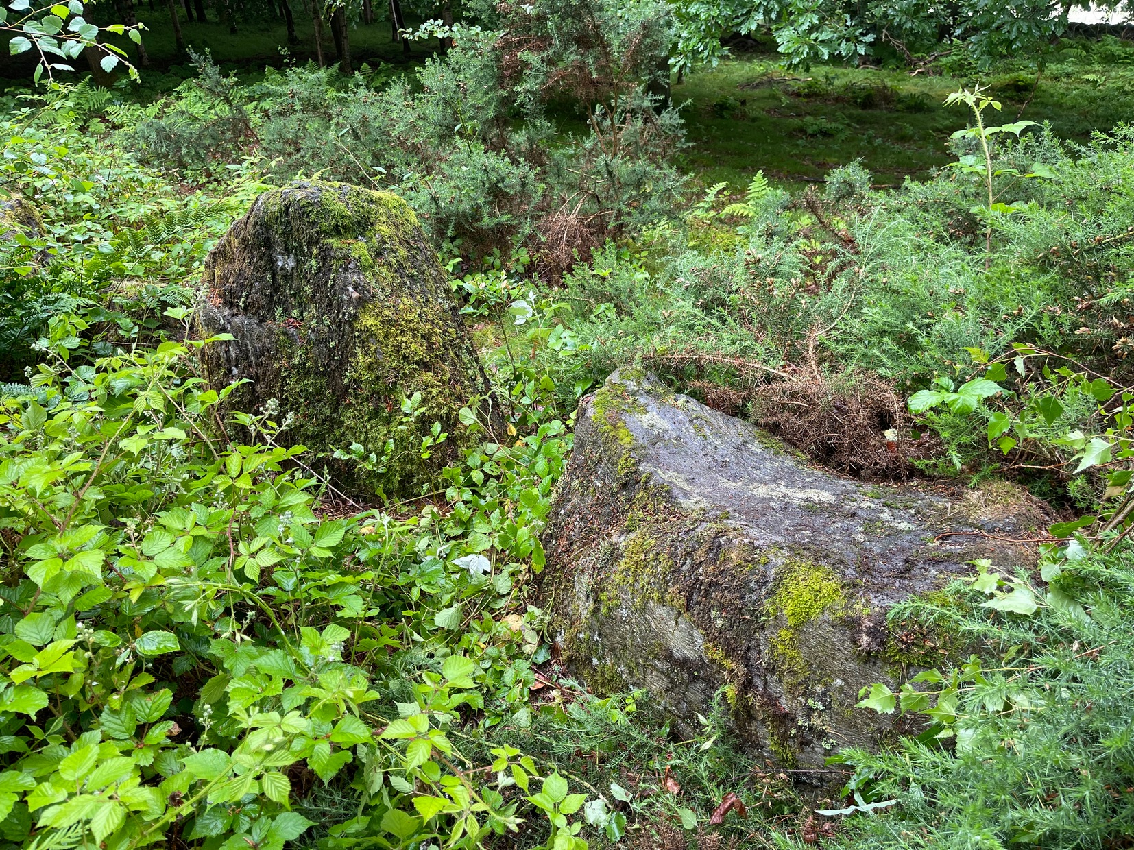
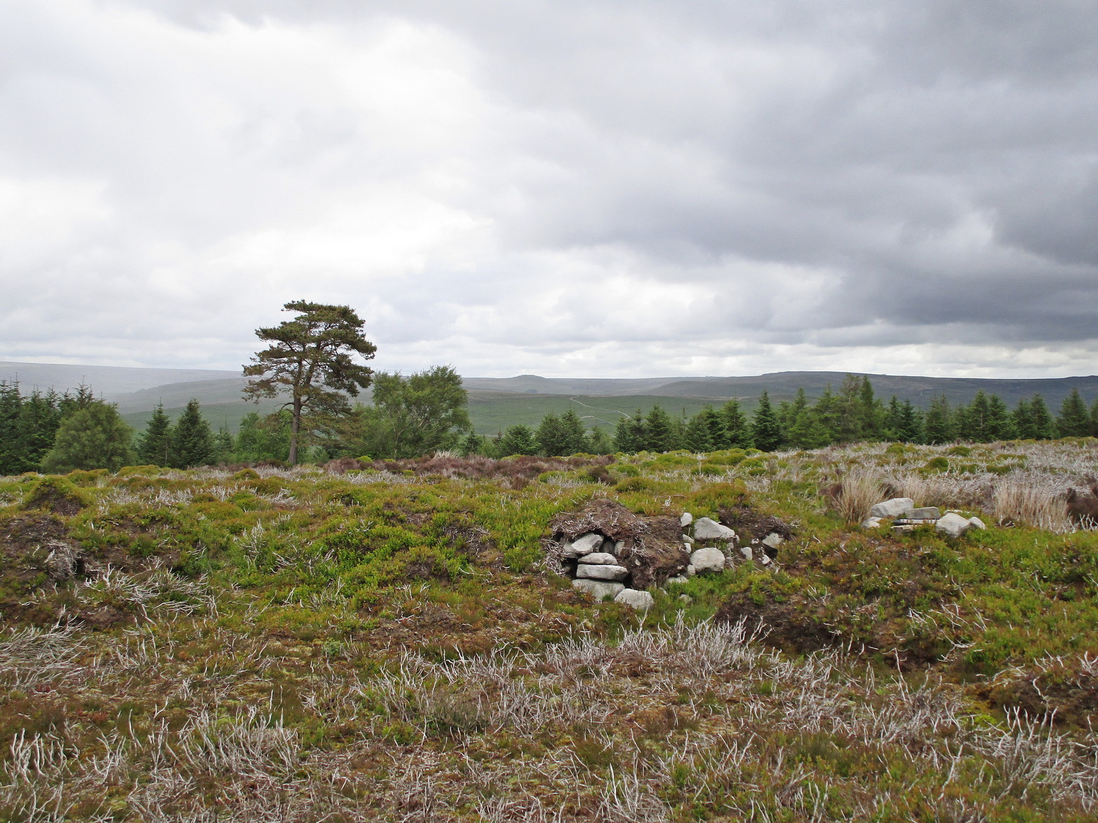
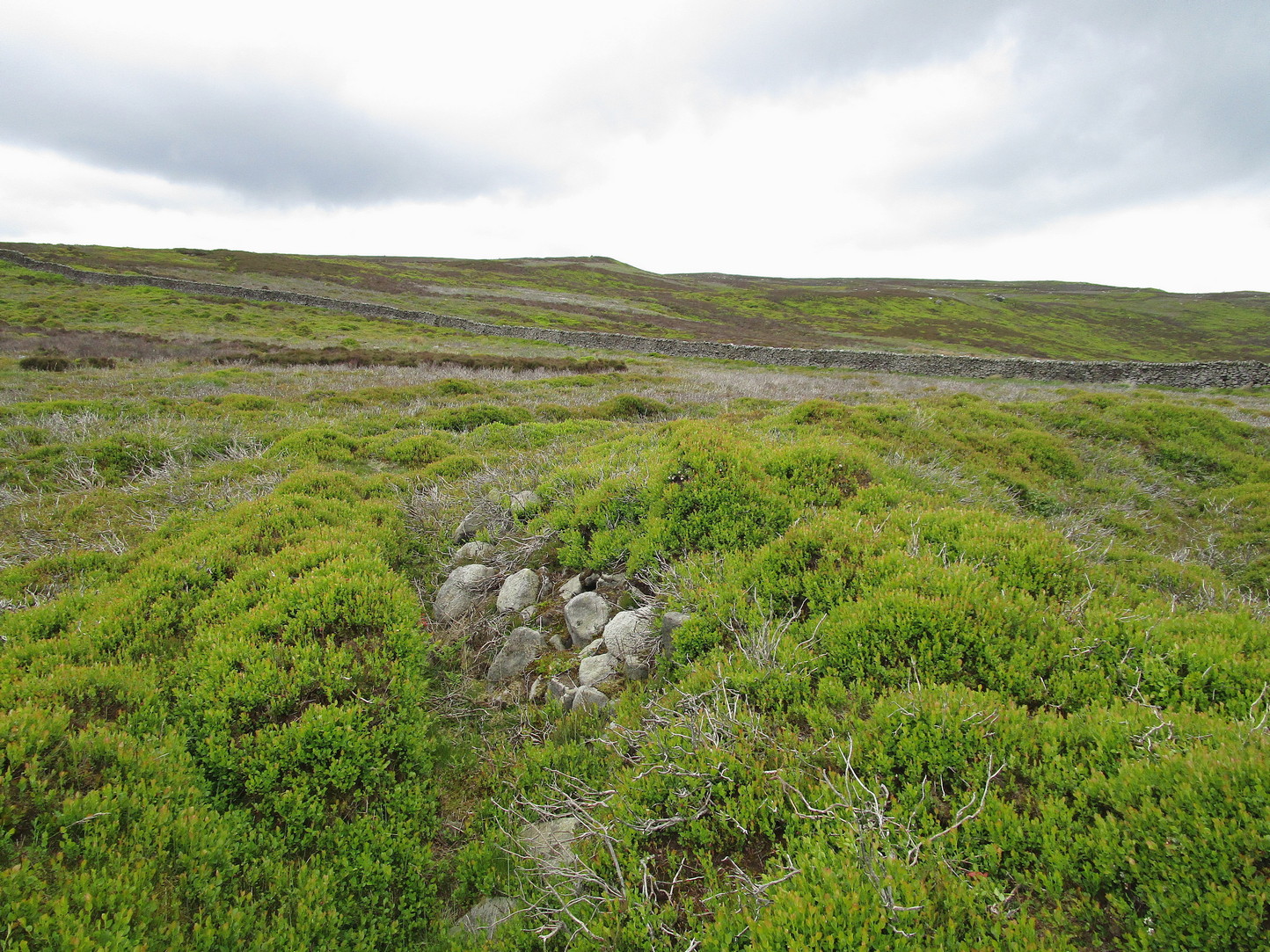
When James MacIntosh (1888) first visited this carving in the 19th century—which is close to the curious cairn of Druim na Cille just 75 yards to the west—he described there being a group of seven large stones forming, what he thought, might have been a large enclosure. I think he was right. Several of these stones can still be seen: each of them along some ancient walling that swerves in an arc to the east. One of these stones has a number of cup-marks on it.
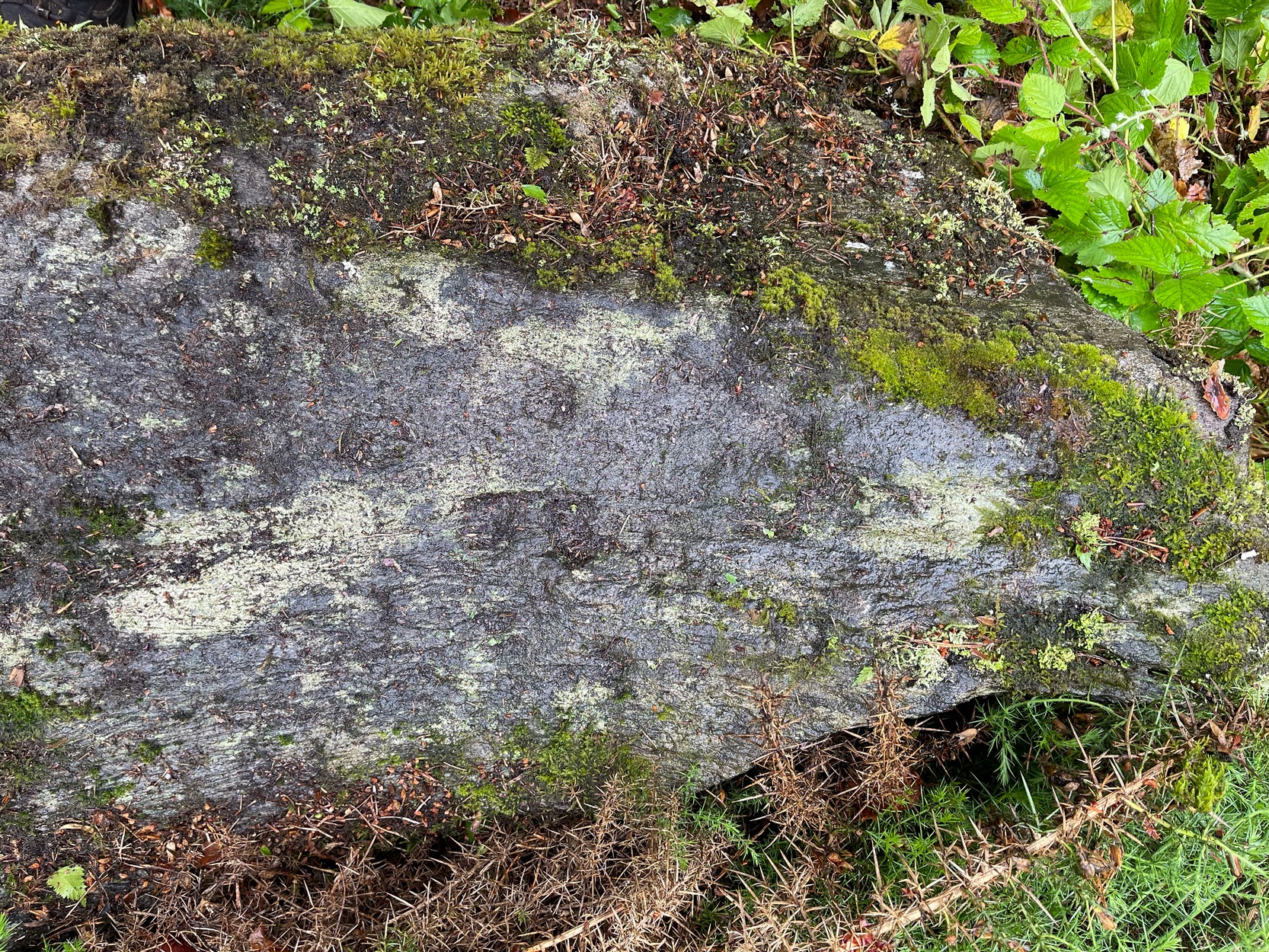
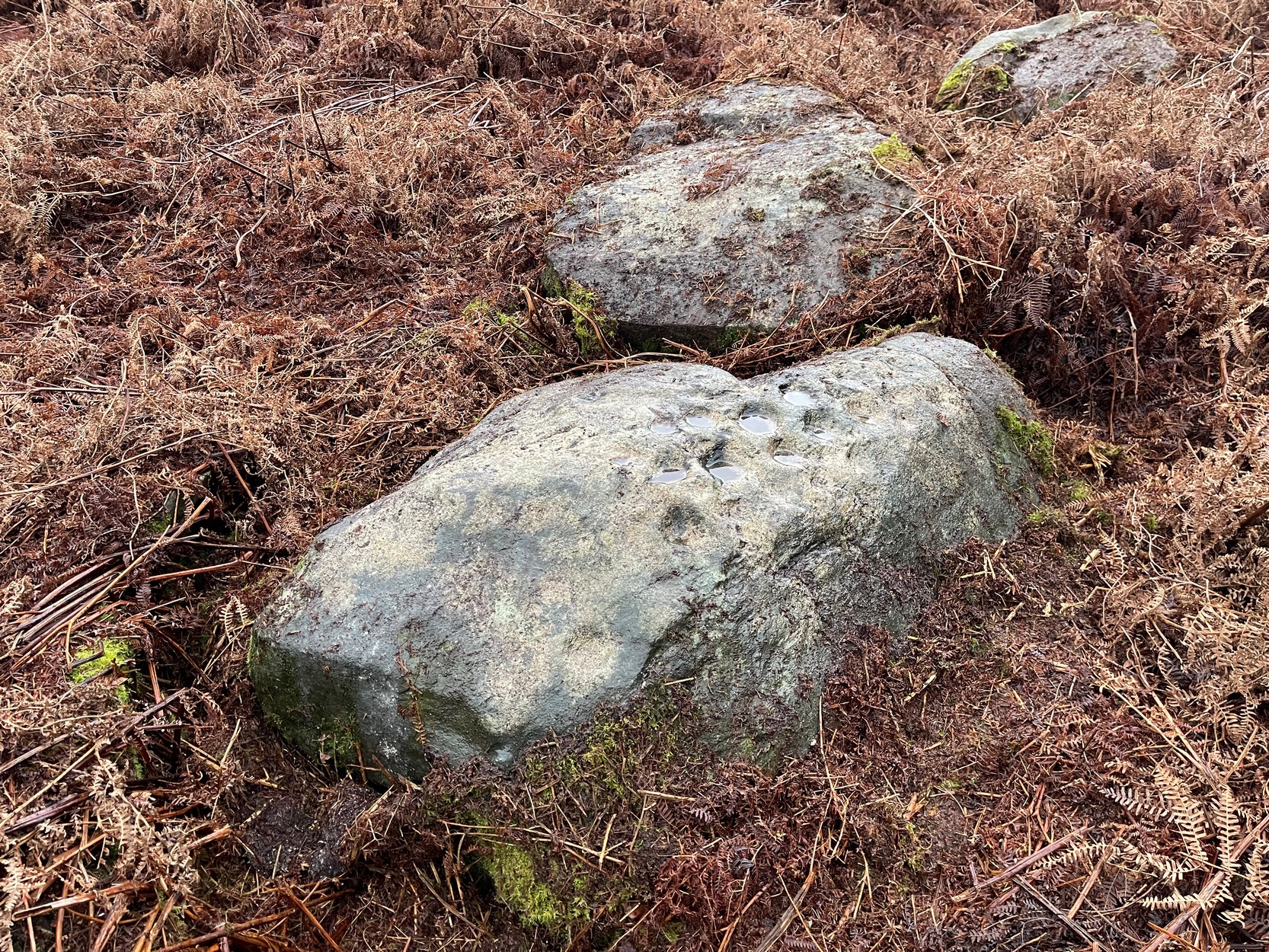
The design isn’t too impressive when compared to others in this neck o’ the woods, but they’re very distinct. We visited the place on a truly dark grey day: conditions that don’t usually allow for good visibility regarding cup-marks; but thankfully the cups along this stone are quite deep and hard to miss. Running along one section of the stone are what Gow called, “eleven beautifully formed cups, varying from 2¼ to 4 inches in diameter and from half an inch to an inch in depth.” When Fred Coles (1911) came here he counted thirteen cup-marks. There may be fourteen.
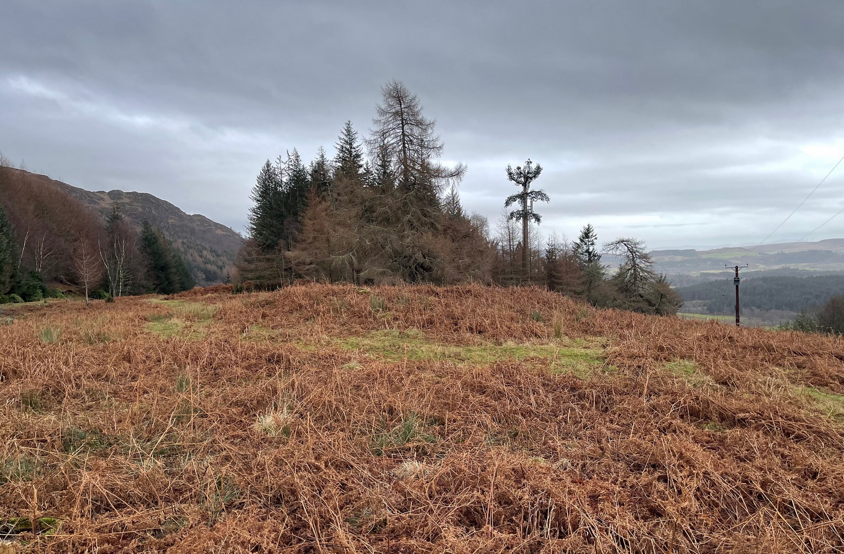
The stone does possess some more recent groove marks made by a metal instrument, possibly a tractor or perhaps when local workmen stuck up a microwave tower close by. Thankfully it hasn’t directly affected the cups on the stone. Check it out when you visit the nearby ring cairn.
References:
- Coles, Fred, “Report on Stone Circles Surveyed in Perthshire, Principally Strathearn,” in Proceedings of the Society of Antiquaries, Scotland, volume 45, 1911.
- Gow, James M., “Notes near St Fillans: Cup-Marked Stones, Old Burying Ground at Kindrochet and Drumnakill”, Proceedings of the Society of Antiquaries of Scotland, volume 22, 1888.

© Paul Bennett, The Northern Antiquarian