To search for any sites in the northern counties of England (previously known as Brigantia), click on the list of relevant counties, below. Please note that not all these english counties were truly in Brigantia, but they came close to its southern edges; and as parts of them tickle the edges of the southern Pennines, I thought they should be included. Hope that’s OK with everyone!
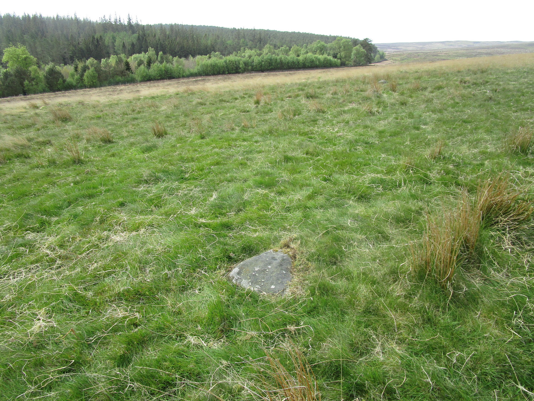
It’s probably easiest to start from the Green Plain settlement, from here crossing the Sun Bank Gill stream and walking east through the scattered heather and grasslands for 450 yards to the right-angled edge of the woodland. Keep walking eastwards alongside the woods for about another 250 yards, then walk into the grasslands north for about 140 yards or so. Zigzag about – you’re damn close!
Archaeology & History
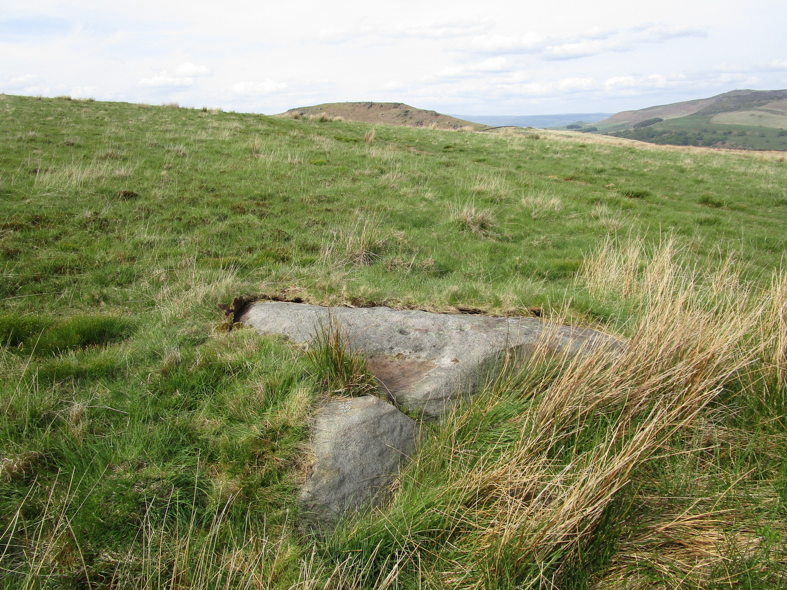
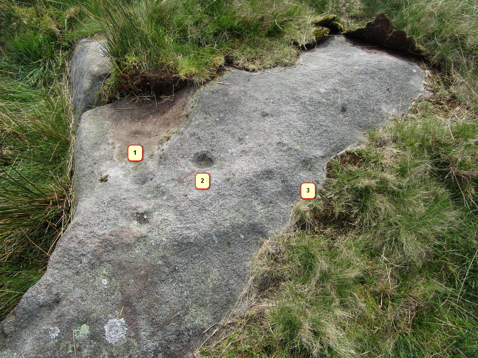
Only for the purists amongst you. This is a simple small triangular stone, with a single notable cup-mark near the middle. It would seem to be in isolation as we could find no others in the immediate vicinity. An early marker no doubt.
Acknowledgements: With thanks to Helen Summerton, who helped with location on this fine day.
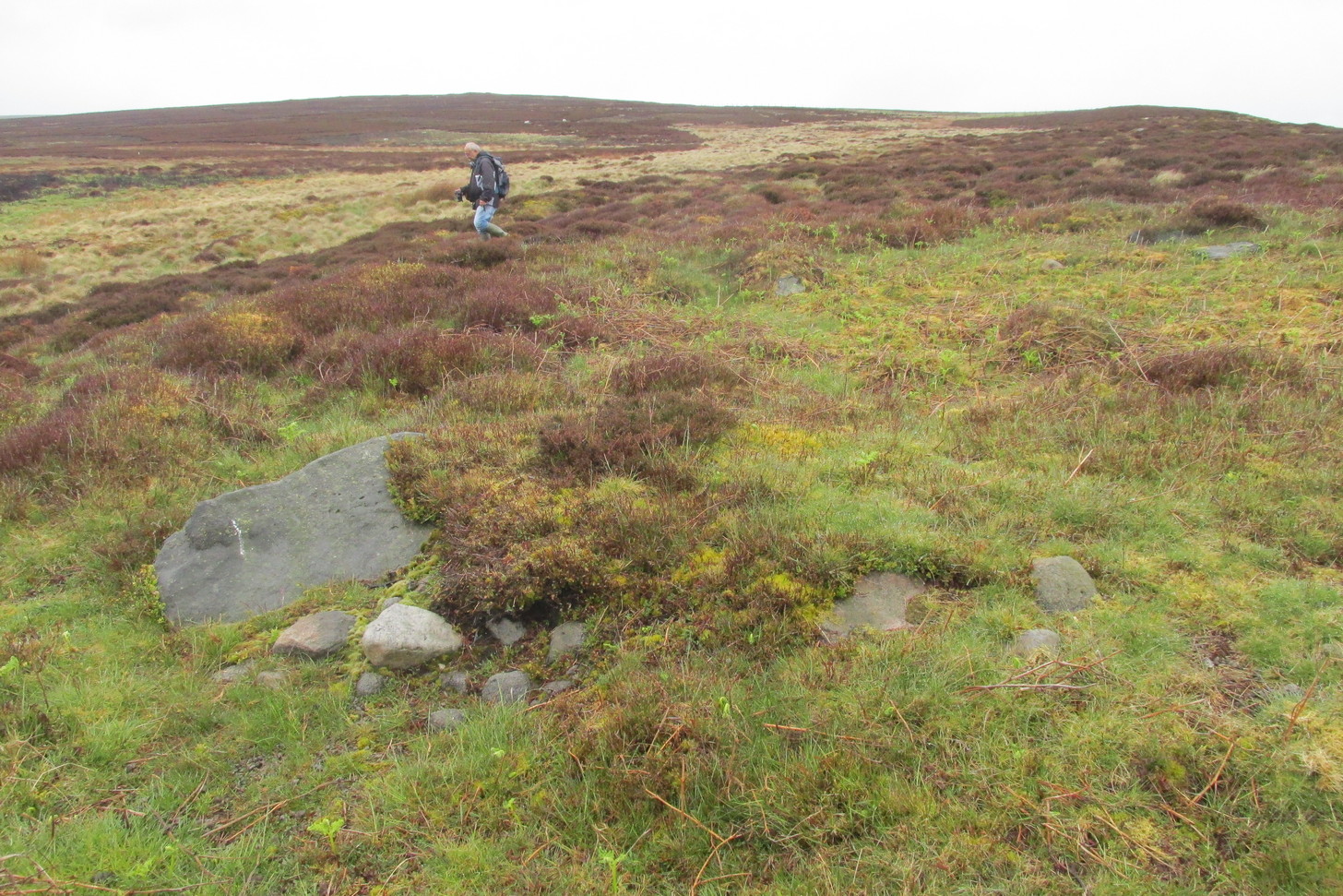
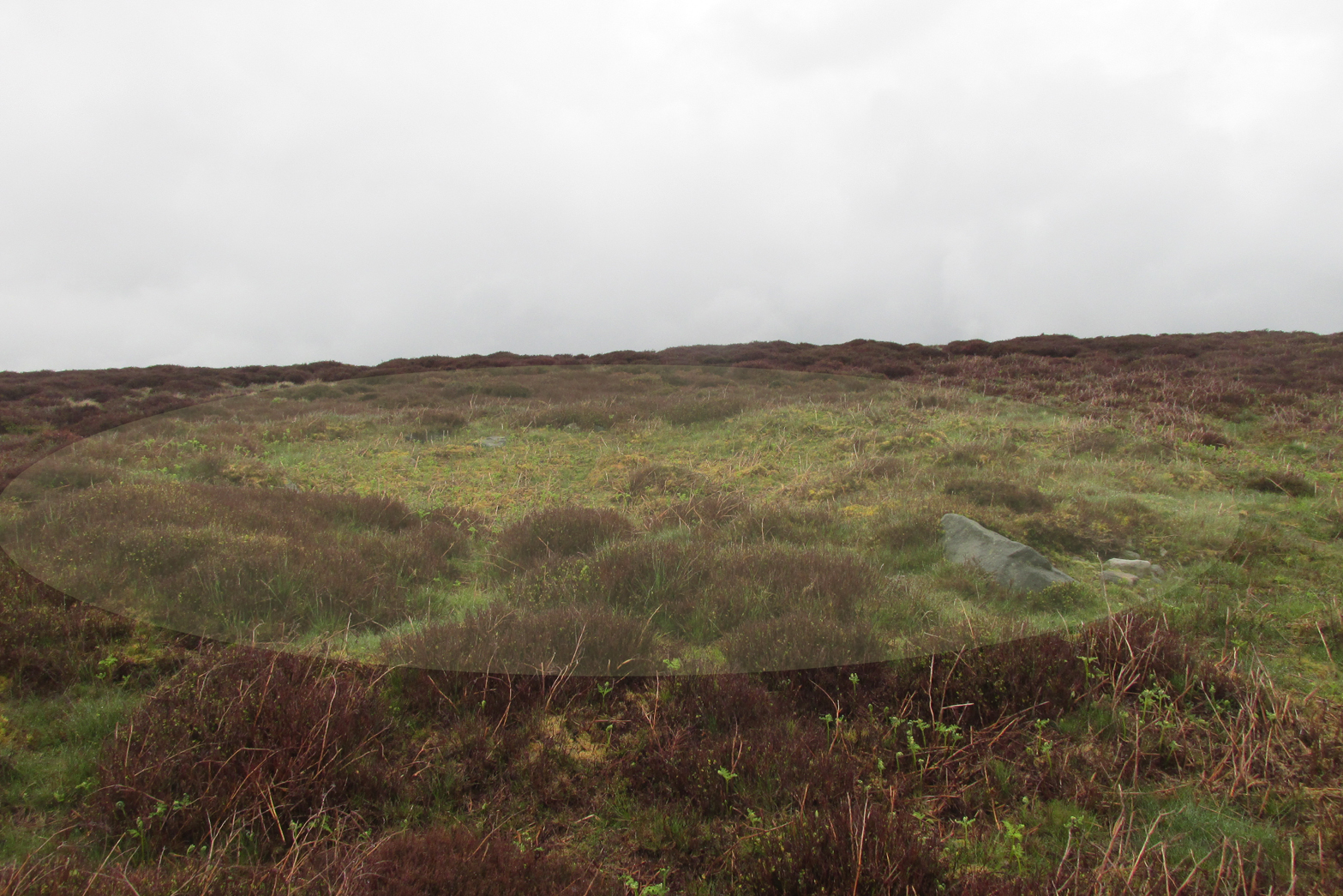
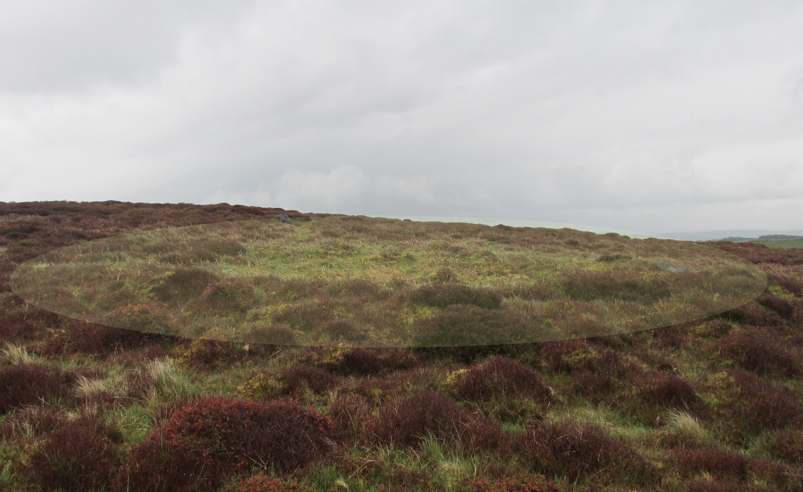
This one really takes some finding. Take the high moorland road running between Lofthouse and Healey villages, and at the very top by the cattle-grid, park up. Walk across the road and walk east. A mile or so on you’ll pass the Shooting Lodge house: keep walking for nearly another mile where another track goes left. Walk down here about ½-mile and you’ll see a crag down the the slope on your right. From here, walk uphill to your left; over the wall, and keep going about 500 yards until the moorland levels out. Hereby is a small outcrop of rocks. Look around!
Archaeology & History
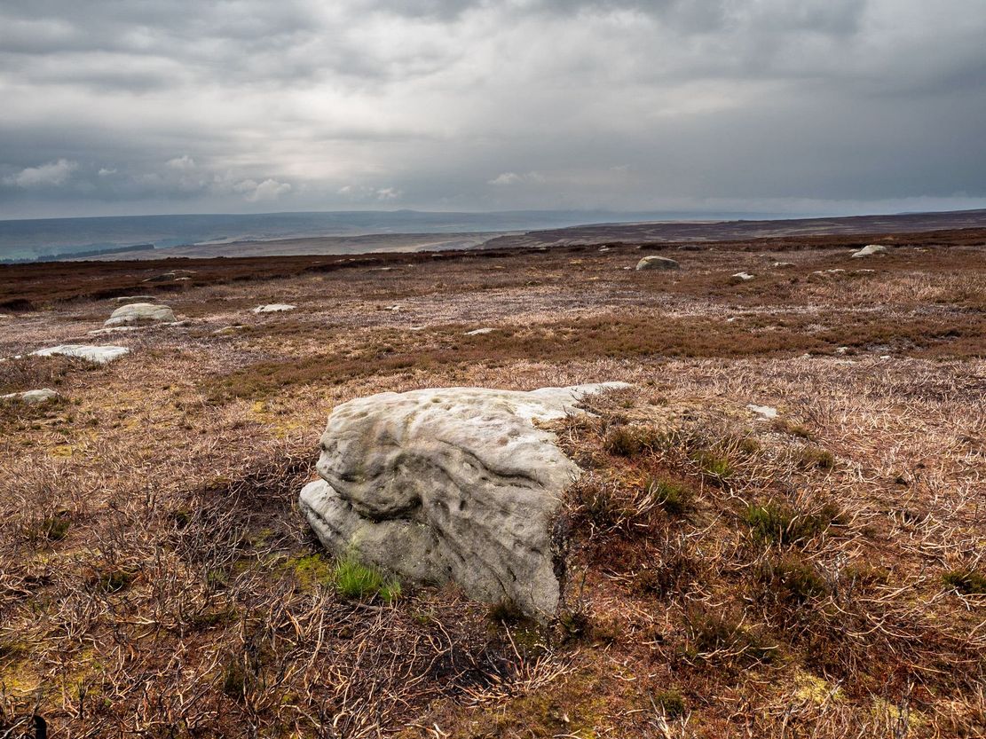
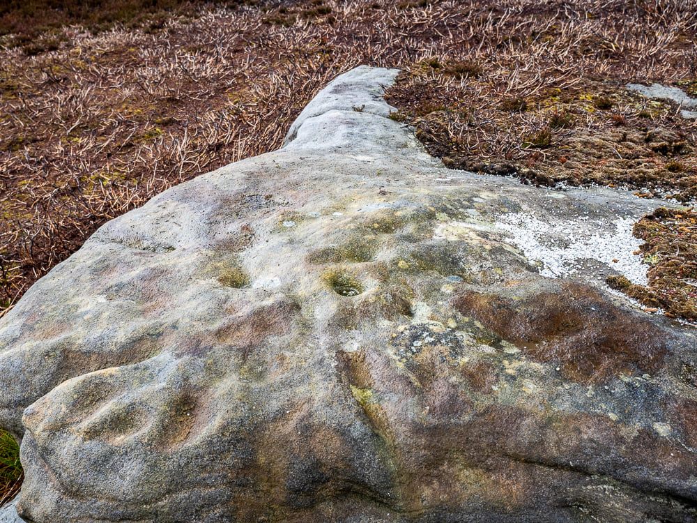
Recently rediscovered by young antiquarian Mackenzie Erichs in May 2021, this flat rock—roughly 5 feet by 3 feet— is one of many amidst the heather which, when fully grown, is gonna be hard to see. This is one of the many petroglyphs possessed with both natural and artificial elements roughly of the same number here.
Upon the mainly southern-side of the stone is a cluster of cup-marks with several on the edges of the rock, most of which are probably natural, or naturally affected. The main cluster of cups—about eight in all—have differing levels of erosion, suggesting differing periods of execution. The most obvious cup is the deep one near the middle of the stone; a group of 3-4 very eroded ones are closer to the edge; and 2-3 three others of varying shallow depths can be seen. One of the cups at the edge of the rock may also have been partially worked.
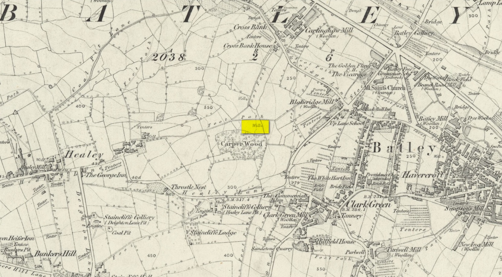
In days of olde, before folk had taps to turn to get water, they’d have to go to the nearby wells and streams. Many of these places were never written about, even to the point where no place-names were recorded, simply because the writers and surveyors either didn’t talk to the right people, or the right people didn’t talk to the surveyors! In many cases, the latter is all too true. Such is the case with this long forgotten healing well, whose memory is only preserved through the pen of a local man who, in the 19th century, was fortunate to have been able to write…
We know that old wells were mainly the province of women in most cultures through history; and Isaac Binns (1882) intimated this in his brief notes about the Wood Well. There’s nowt much to tell to be honest, but its location and lore need to be preserved.
Lamenting the loss of trees, Mr Binns told of the Wood Well’s proximity to Carper Wood: shown on the first OS-maps, but long since destroyed by the ignorance of modernity. In his day, the water from here was fresh “clear water.” This alone was good, but something extra in the water gave it that added healing ingredient. It was used medicinally,
“good yet, the old women say, for sore eyes.”
But not long after he wrote those very words, the Wood Well was destroyed…
References:
Binns, Isaac, From Village to Town: Random Reminiscences of Batley, F.H. Purchas: Batley 1882.
Healing Well (destroyed): OS Grid Reference – SE 1286 4007
Also Known as:
Loadpit Well
Archaeology & History
Sore Eye Well on 1852 map
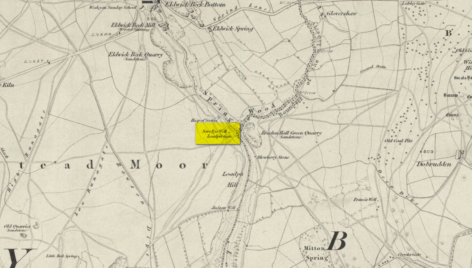
Descriptions of this site are few and far between, despite it having a meaningful name. First recorded on the 1852 OS-map, in the folklore of our ancestors this was a well that local people frequented to wash their face and it was said that the waters would take away the ills of those suffering poor eyesight or other ocular problems. Rags were left hanging over an old rowan tree as offerings to the spirit of the water, in return for curing the afflicted eyes.
When I first came looking for this as a boy, I was frustrated to encounter the water authority’s metal cover ruining the site completely, leaving nothing of the old well as it once was. Around the metal-cover was evidence of a small rock enclave that would have defined the spring as it emerged from the earth—although it was barely noticeable. The remnants of a small path just to the right of the main footpath that reaches up the hillside is apparent, leading to the well. Below it were the remains of a large, water-worn flat rock, with other stones set to its sides, where the water used to flow and be collected, but today everything’s dried up and there’s little evidence of it ever being here.
References:
Shepherd, V., Historic Wells in and Around Bradford, Heart of Albion: Wymeswold 1994.
Healing Well (destroyed): OS Grid Reference – SE 2986 3331
Archaeology & History
First mentioned in the 1715 magnum opus of Ralph Thoresby, this old healing well has long since fallen victim to the careless Industrialists. In his day, the well was there for all to use, saying:
“Eye-bright Well on a declining Ground, near the Monk-Pits, discovers its Virtues in the Name, being, long-ago, esteemed a Sovereign Remedy against Sore-Eyes.”
This note was subsequently copied in in Hope’s (1893) classic survey, with no additional comment. In all probability, the name of the well derived from the presence of the herb Eyebright (Euphrasia officinalis) which, as is well known, is the best herb for ailments of the eye. The water from the well, in combination with the herb that grew around it, no doubt increased its ocular healing abilities.
By the middle of the 19th century, the rise of Leeds city brought an end to its ancient flow and its location was eventually forgotten. In Bonser’s (1979) survey of Leeds’ wells, he told how,
“the position of this well can be accurately determined: it was situated on sloping ground between Wellington Street and Aire Street, as clearly indicated on the 1847 (1850) OS 5ft to 1 mile (map).”
Location of Eyebright Well on 1852 map
However, in the much earlier survey of Leeds, Edward Parsons (1834) told us that this well was a hundred yards to the south, “near the line of the new road to the iron bridge across the Aire at the Monk Pits.” And although it isn’t named, it should be noted that immediately across the River Aire, where Parsons stated, the 1852 OS-maps showed the “Site of an Ancient Well.” This is very likely to be where it was. Parson’s also echoed the local lore of the time, telling us that the Well was “a sovereign remedy for soreness of the eyes.”
References:
Bonser, K.J., “Spas, Wells and Springs of Leeds,” in The Thoresby Miscellany – volume 16, Leeds 1979.
Hope, Robert Charles, Legendary Lore of the Holy Wells of England, Elliott Stock: London 1893.
Parsons, Edward, The Civil, Ecclesiastical, Literary, Commercial and Miscellaneous History of Leeds, Halifax, Huddersfield, Bradford, Wakefield, Dewsbury, Otley – volume 1, Frederick Hobson: Leeds 1834.
The site of the well is on the Carrs to the west of Leven village, immediately north of the old cemetery adjoining Hall Garth house. Reverend William Smith, writing in 1923, told us:
St Faiths Well on 1855 map
“St Faith’s Well lay on the left of the road known as St Faith’s Lane, which leads to the old churchyard to which the spring was near. St Faith belonged to France, and when quite a young maiden, was martyred because of her christianity. She lived and died in the third century….
“St Faith’s Well was filled in about a hundred years ago and the site lost. This, however, has lately been approximately fixed by the aid of water divining. A Leven man, who can wield the hazel wand, went over the ground near to which the well was thought to have been, and the wand indicated a spot under which, on digging to the depth of about three feet, “the water fairly bubbled up”, and it was judged this was the place where the well lay. St Faith’s Well is said to have given water both pure and abundant, and to have been in the old days the only supply of drinking water to the people of the Carrs.”
St Faith’s Saint’s day is the 6th October and she was a saint whose patronage was invoked by pilgrims, prisoners and soldiers. From this, is it perhaps reasonable to infer that St Faith’s Well may have been a station for pilgrims to the local shrines of St John of Beverley and St Philip Ingleberd at Keyingham? Also a stopping point for fugitives seeking sanctuary at Beverley?
There was another holy well dedicated to St Faith at Hexton in north Hertfordshire.
References:
Cox, J.Charles, The Sanctuaries & Sanctuary Seekers of Mediæval England, George Allen: London 1911.
Farmer, David H., Oxford Dictionary of Saints, Oxford University Press: Oxford 1987.
Smith, Rev. William, Ancient Springs & Streams of the East Riding of Yorkshire, A. Brown: Hull 1923.
Holy Well (destroyed): OS Grid Reference – TA 23584 25549
Archaeology & History
The Well shown on the 1855 6″ OS map
This holy well was formerly on the northern boundary of a field adjoining the north side of the A1033 west of Keyingham.
In view of the surviving folklore relating to the well it seems that its dedication to St. Philip may have been an effort by the Church to ‘Christianise’ it; and the St Philip here is not the Biblical Apostle, but a local saint – Philip Ingleberd (died c.1325 and also known as Philip Inglebred), whose memory was celebrated by a nearby Cross and a shrine at St Nicholas Church in the village. The well and the cross may have been dedicated some time after 1392 following a ‘miracle’ relating to Philip’s tomb. These were destroyed by the mob in the Reformation, although the cross-base survives. It seems the well may have been restored in the late seventeenth century. By the early twentieth century the well was described as laying on the Common to the west of the village, by then filled in, only showing signs it ever existed by making the ground near its site wet and boggy in a rainy season.
Folklore
George Poulson writing in 1841 told that,
“…a few fields more to the west is a well, called St. Philip’s Well; on a small stone are inscribed W. H. W. D. IG67. W. K. It is called the wishing well; and the country lasses were in the habit of dropping pins, or even a sixpence into it, for the purpose of ensuring to themselves either particular or general good luck.”
William Smith (1923) described the well as one of six wishing wells or pin wells in Yorkshire and, moreover, the only ‘Cross Well’ in the East Riding. At none of these wells was evil allowed to be foreshadowed, and the wells were only to show to a girl the portrait of her future husband. He told us that,
“In every case the wish had to be with truthful devotion, and not divulged to any living person, or the desired consummation would not be gained…. Tradition adds that the well was much visited by maidens, who, on dropping their pins or coins, expressed the wish to see their lovers mirrored on its waters. Thus they kept a custom, dating to the time when the well was counted to be under the control of the fairies.”
And as Keyingham Common was once the abode of the fairies, it is worth noting that some 700 yards west of the site of the well a ‘Pans Hill’ is shown on the old maps, although whether this rural spirit of classical myth ever made it up to the East Riding is altogether another matter….
References:
Arrowsmith, Nancy & Moorse, George, A Field Guide to the Little People, Macmillan: London 1977.
Hope, Robert, Legendary Lore of the Holy Wells of England, Elliot Stock: London 1893.
Poulson, George, History and Antiquities of the Seigniory of Holderness, Thomas Topping: Hull 1841.
Smith, Rev. William, Ancient Springs & Streams of the East Riding of Yorkshire, A.Brown: Hull 1923.
Holy Well (destroyed): OS Grid Reference – NZ 9006 1102
Archaeology & History
Virgin’s Pump, c.1890
This is one of at least five wells dedicated to St. Hilda in North Yorkshire that my old colleague Graeme Chappell has uncovered over his many years of research. It’s sadly been destroyed, and accounts of it seem to be few and far between; but from the short description of it by Mr J.C. Atkinson (1894)—and helped out by its later title—we at least know where it once was.
In his account of the old roads in the village, Grape Lane was mentioned as far back as 1396, and close by, he wrote,
“is a spring called Seynt-Hild-keld, possibly where the so-called “Virgin pump” stands, or stood, not so very long since.”
This ‘ere “virgin pump” is shown in an old photo taken about 1890, just round the corner from Grape Lane where, today, is the car park on Church Street, opposite The Endeavour.
Folklore
St Hilda was a 7th century saint who was reputed to have founded Whitby Abbey. Her festival date was November 17.
References:
Atkinson, J.C., Memorials of Old Whitby, MacMillan: London 1894.
Crosses / Legendary Rocks (destroyed): OS Grid Reference – SE 1975 2909
Archaeology & History
Site location at Cross House
Not to be confused with a much more renowned namesake above Ilkley, this was the name given to two old stones that once existed in the middle of the East Bierley hamlet (as it was then) southeast of Bradford. They were two large boulders next to each other, not far from the early farmstead of Cross House (see map, right) and were described in James Parker’s (1904) historic collage of the area, where he informed us that:
“On the village green (are) the primitive large stones locally called the “Cow and Calf stones,” which used to be in days gone by a Preaching Cross and Market Cross.”
When William Cudworth (1876) described the place nearly thirty years prior, he only mentioned a single cross, telling us:
“There is a lane which has long been called Kirkgate at Birkenshaw, leading up to an ancient cross on the hill. The fact of this cross being on the hill must have given rise to the name Kirk (church) gate, as there was not, until a few years ago, any church at Birkenshaw. In a previous paper we had occasion to notice the existence of the cross as an evidence of a pre-church period.”
The meaning behind the name Cow & Calf is unexplained by our respective authors, although Cudworth’s citation of “the cross as an evidence of a pre-church period” is probably not without merit here. It seems very likely that the animal names of the two large stones—akin to the Cow & Calf Rocks at Ilkley and others of the same name elsewhere in the country—that sat near the top of the hill, probably possessed a creation myth similar to others of the same name. From this, it seems logical that local folk held the rocks as important, which would have obviously attracted the regressive attention of Church—so they stuck a cross here to christianize the place and in doing so ensured that local people could continue using the place as a meeting place. This practice (as if you didn’t already know) was widespread.
Although Mr Cudworth seems to give the first real account of the place, field-name records of 1567 listed a ‘Cowrosse’, which may have been the “cross on the Cow” stone. A.H. Smith (1961) listed the site and suggested the element –rosse may derive from a local dialect word meaning a marsh, but a ‘cow’s marsh‘ seems a little odd. It is perhaps just as likely that an error was made in the writing of rosse instead of crosse.
References:
Cudworth, William, Round about Bradford, Thomas Brear: Bradford 1876.
Parker, James, Illustrated History from Hipperholme to Tong, Percy Lund: Bradford 1904.
Smith, A.H., The Place-Names of the West Riding of Yorkshire – volume 3, Cambridge University Press 1961.
We don’t know for certain the precise whereabouts of this long lost healing well, but it would seem to be the one highlighted here (right) on the 1855 OS-map. However, I think it equally possible that the small unnamed building, roughly halfway between the highlighted ‘Well’ and Spring Cottage, where the walling meets, could be the site in question. It’s one or the other!
Folklore
When Thomas Blashill (1896) wrote of the Blind Well in his standard history work of the area, memory of it was already falling away. In discussing where local people could wash and look after their health, he told that
“There was one place in the parish where washing seems to have been practised as a curative measure. Down in the East Field, near to Spring Cottage Farm, was the Blindwell, to which the people had access. If they used its waters freely when suffering from sore eyes, their faith would probably be rewarded.”