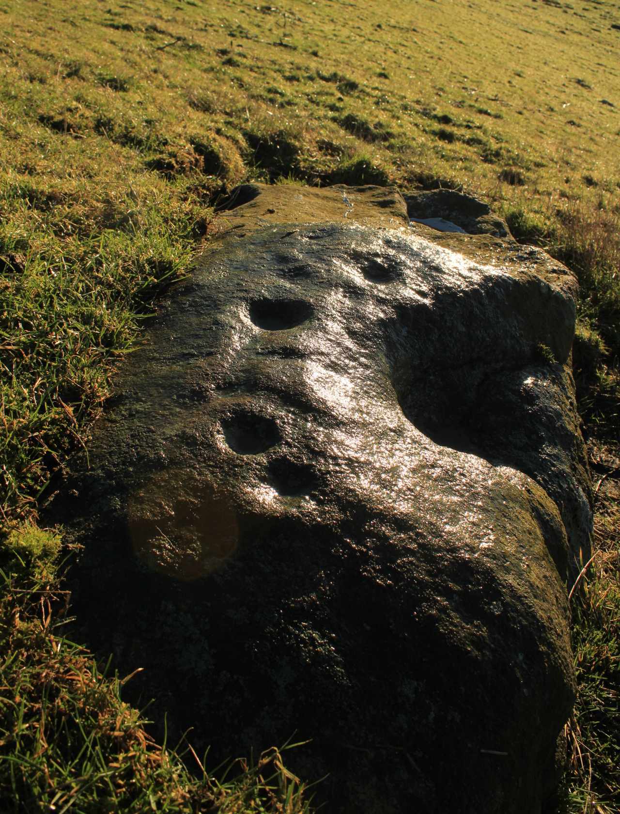
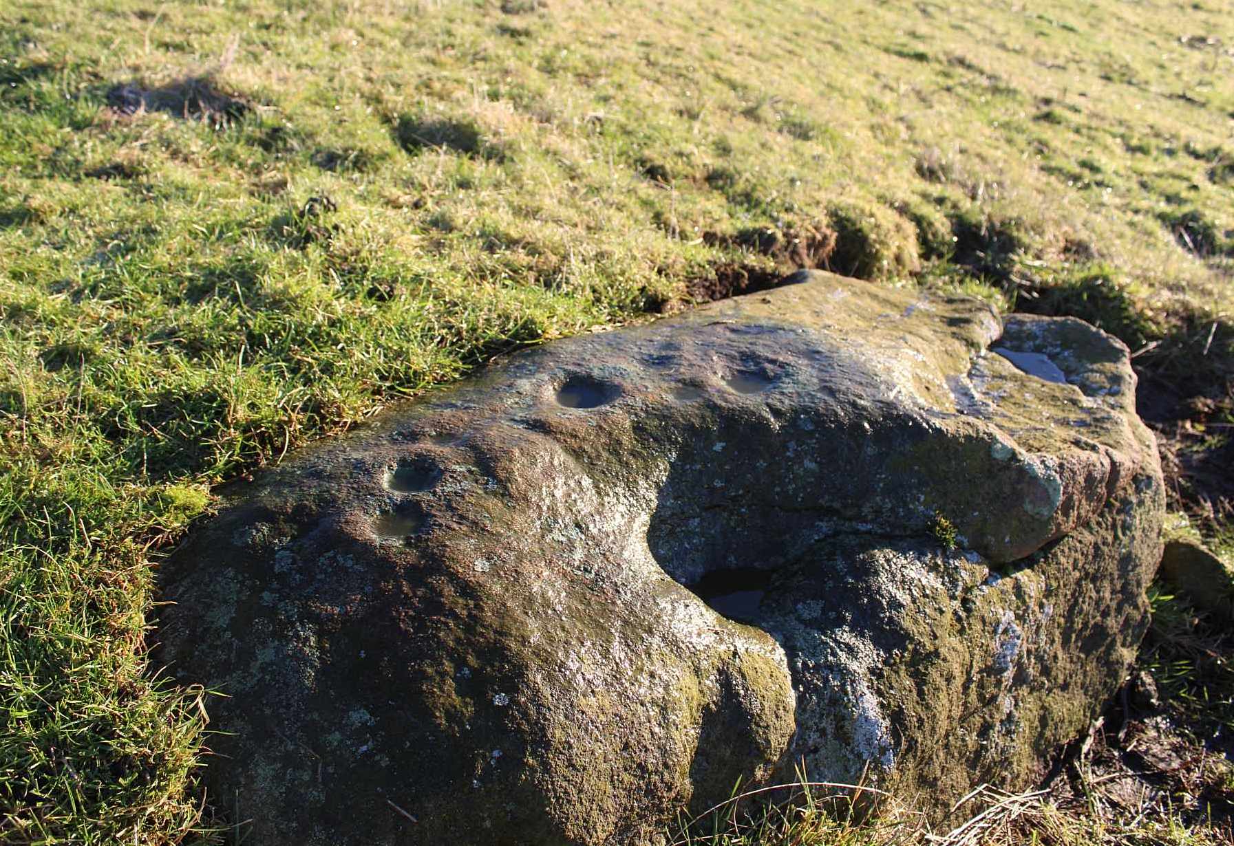
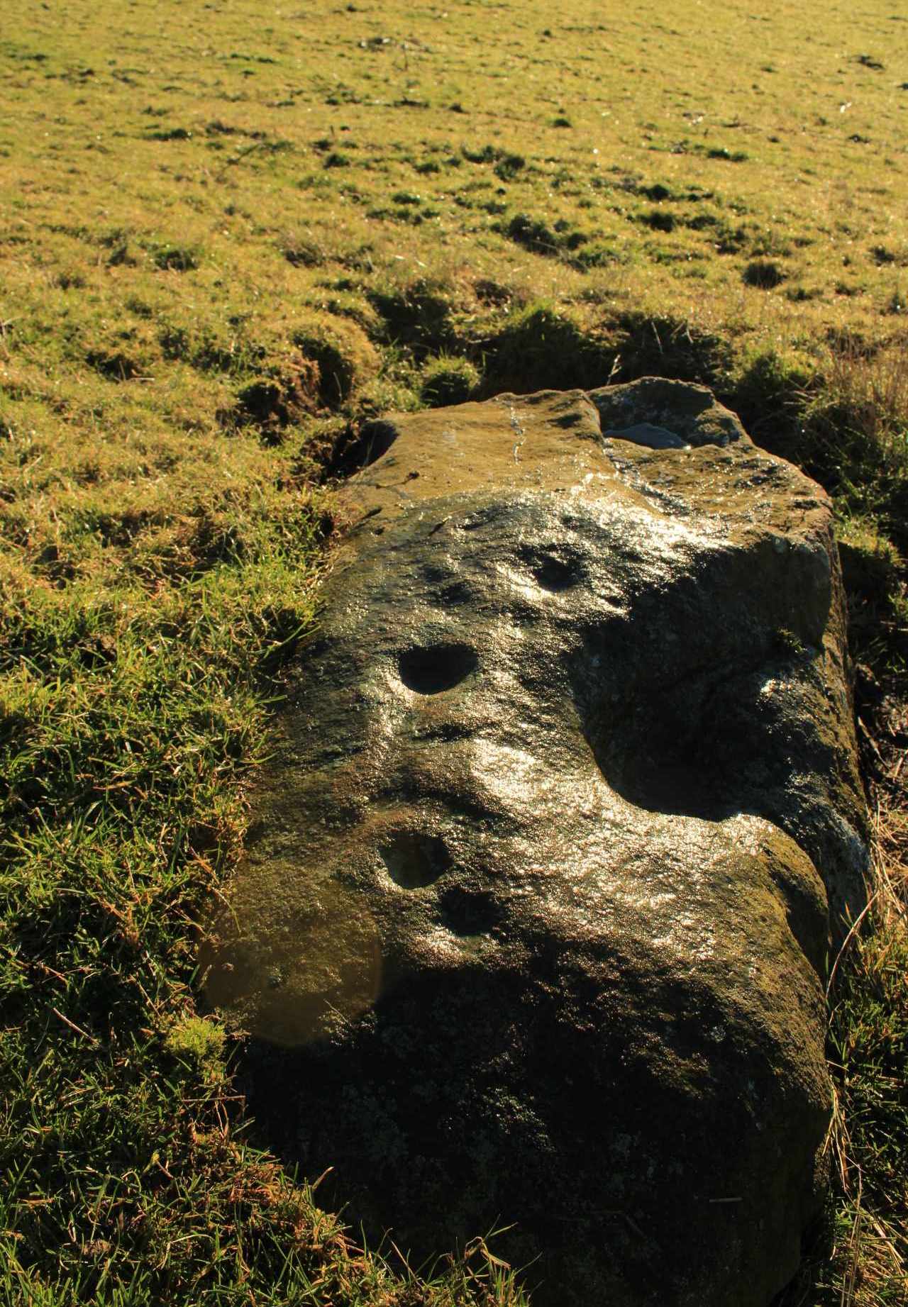
Cup-Marked Stone (lost): OS Grid Reference – SD 950 488
Archaeology & History
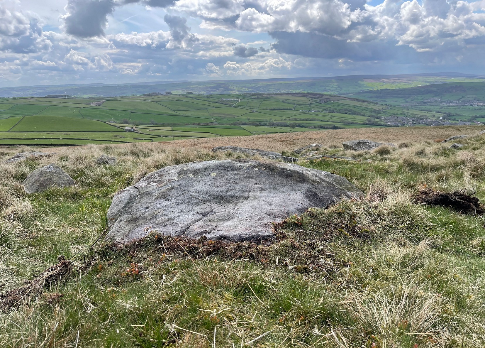
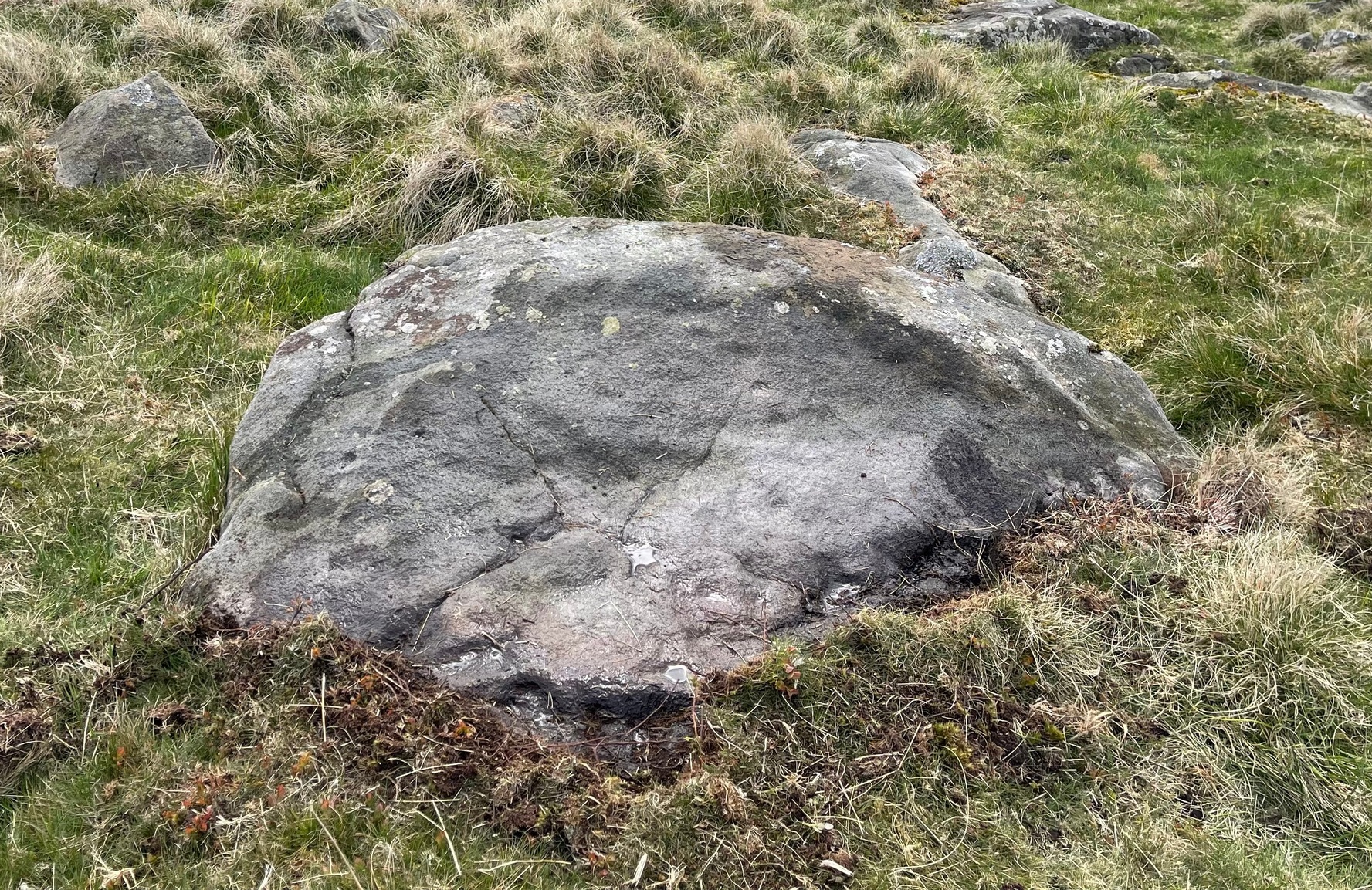
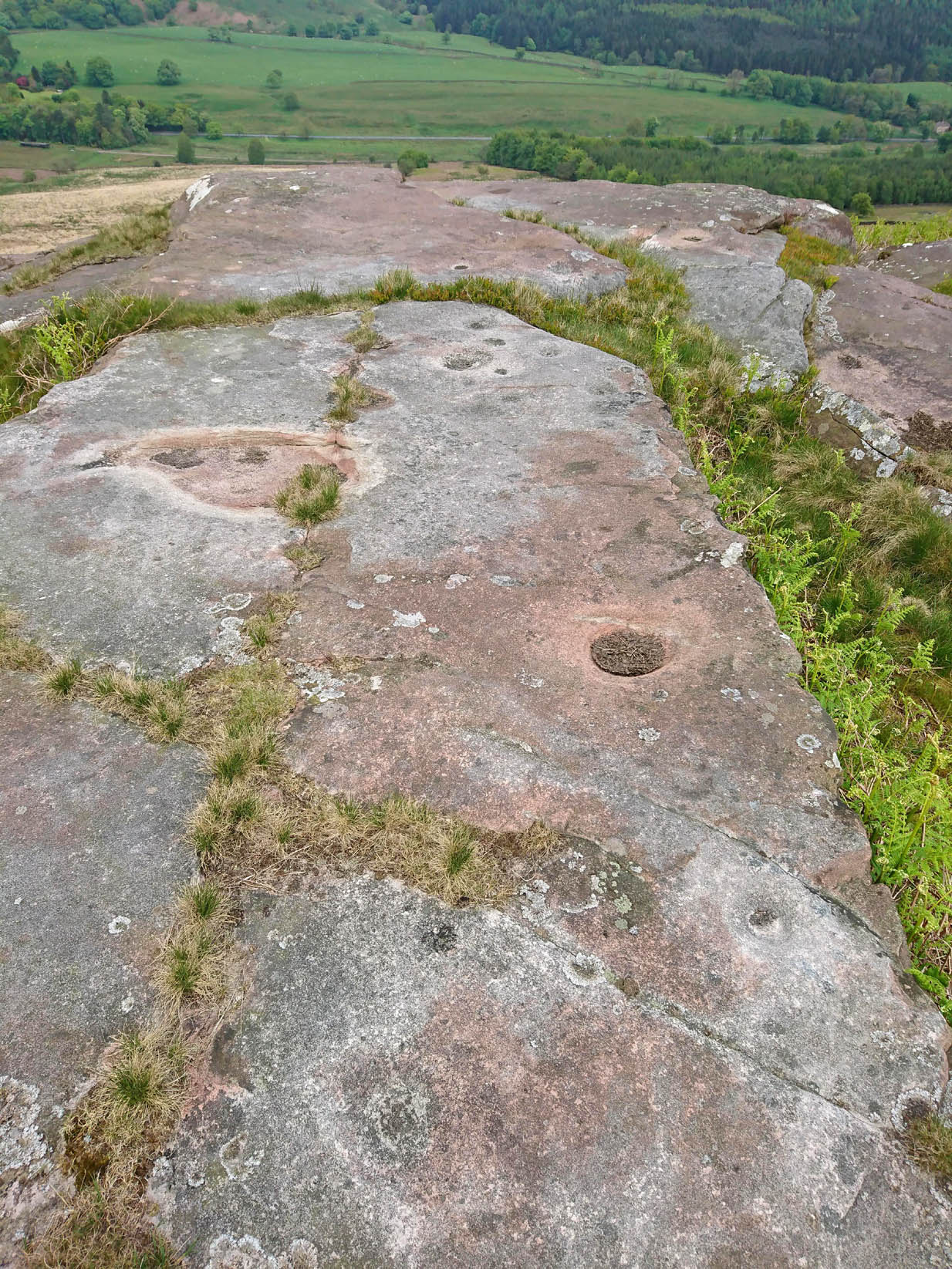
When the archaeology assistant Stuart Feather ventured over to look at the prehistoric enclosure on the northwest slope of Raygate Hill, a mile or so south-west of Carleton, like any good petroglyph explorer he looked out for any rock art and—like y’ do sometimes—came across a cup-marked stone that hadn’t been recorded before. He wrote down his finds at home and, following his death, those records were thankfully sent to the Manor House Museum in Ilkley, from where these brief notes are taken. There was at the time of his visit, he said, a
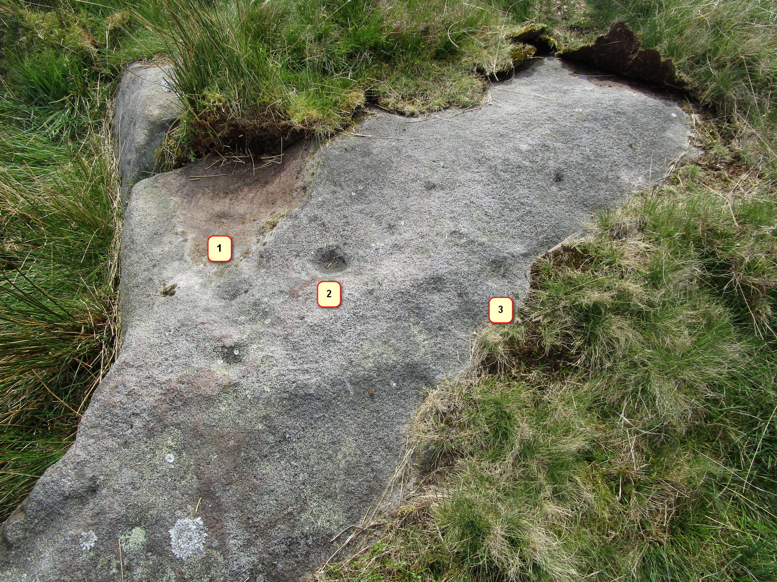
“Rock outcrop with two cup-marks, on August 6th 1960 this outcrop was intact. On a second visit the top layer of the rock had become detached and split into two. The pieces were then removed for preservation.”
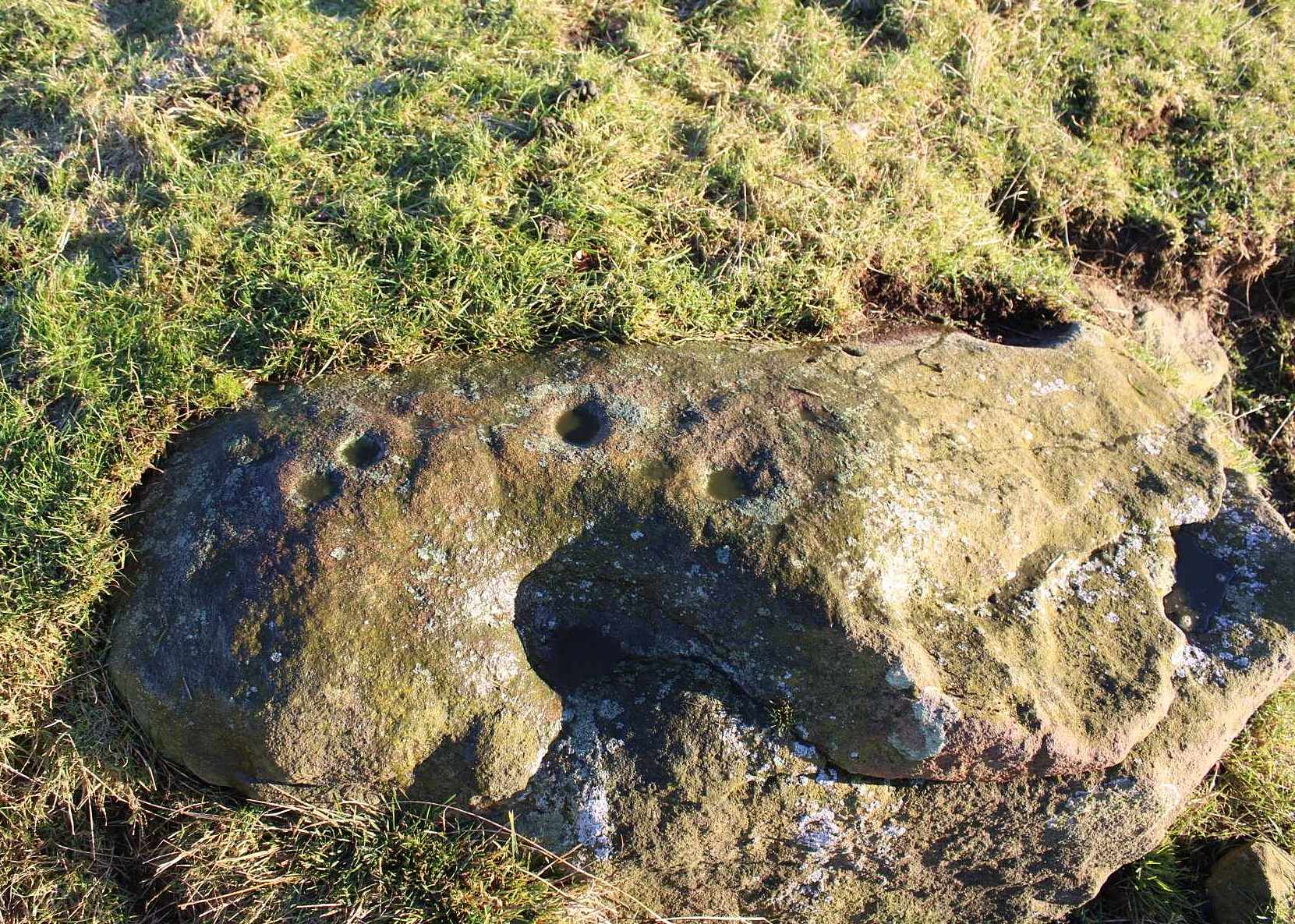
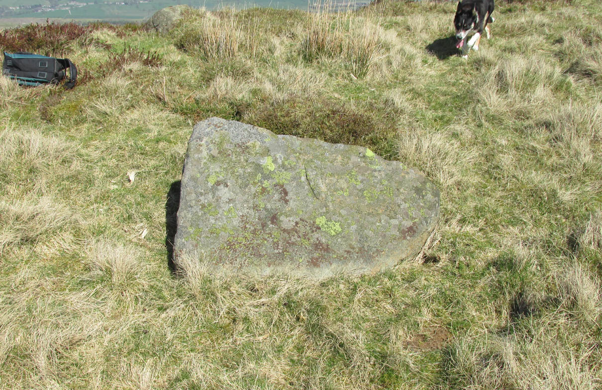
By “removed for preservation”, he meant that he took it home to Fernbank Avenue in Keighley (he did this with a few of our old cup-and-rings). However, this one has not been found since and it may simply have been buried in his garden. Does anyone know more about it?
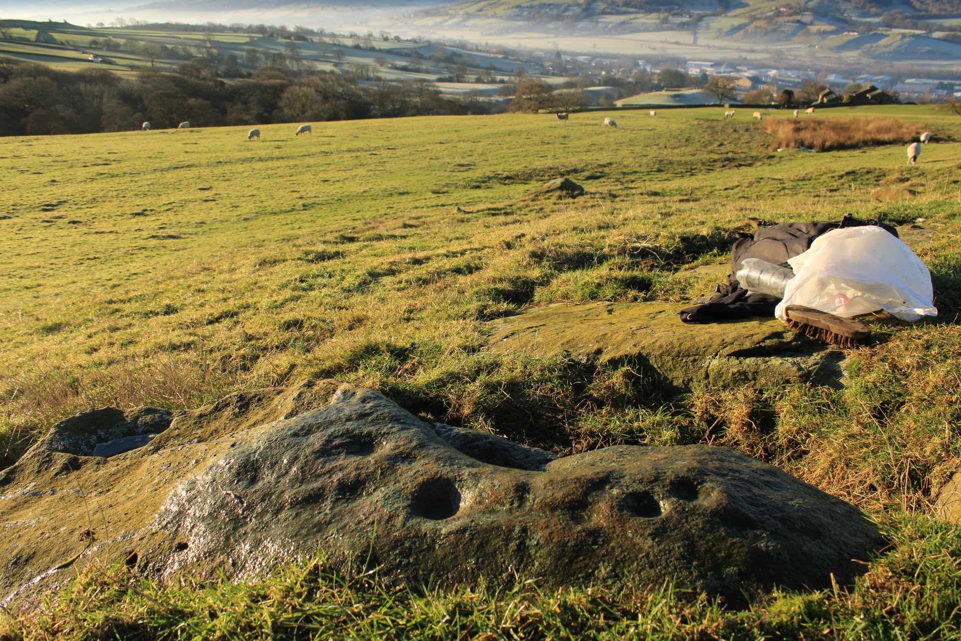
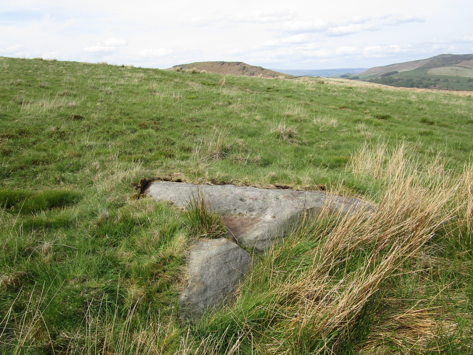
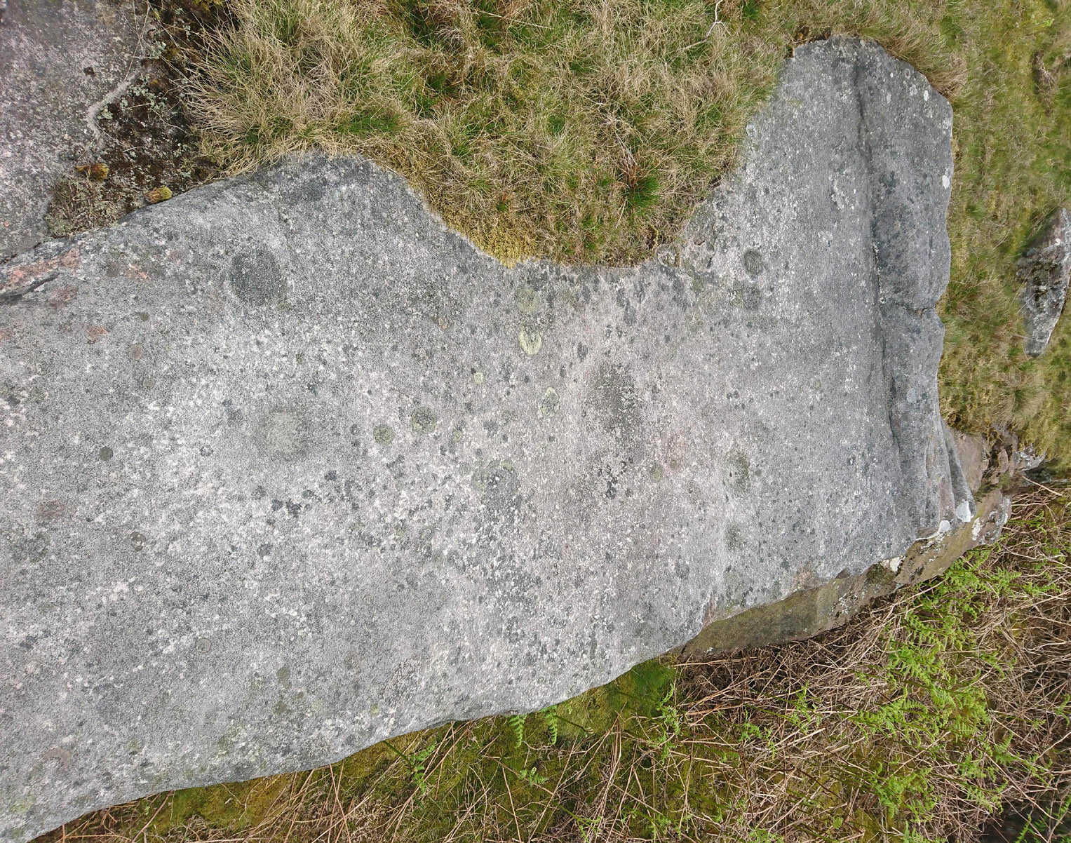
He described another less likely contender of a carving a little closer to the enclosure, telling briefly: “Cup-marked rock, cups only possibly man-made. In close proximity, 75 yards, to (the) earthwork marked on the 6” O.S. map.”

© Paul Bennett, The Northern Antiquarian