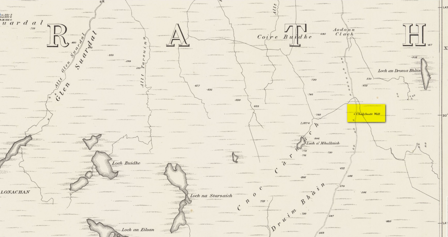
Healing Well: OS Grid Reference – NN 915 543
Also Known as:
- Sput na-fruith-chasd
Getting Here
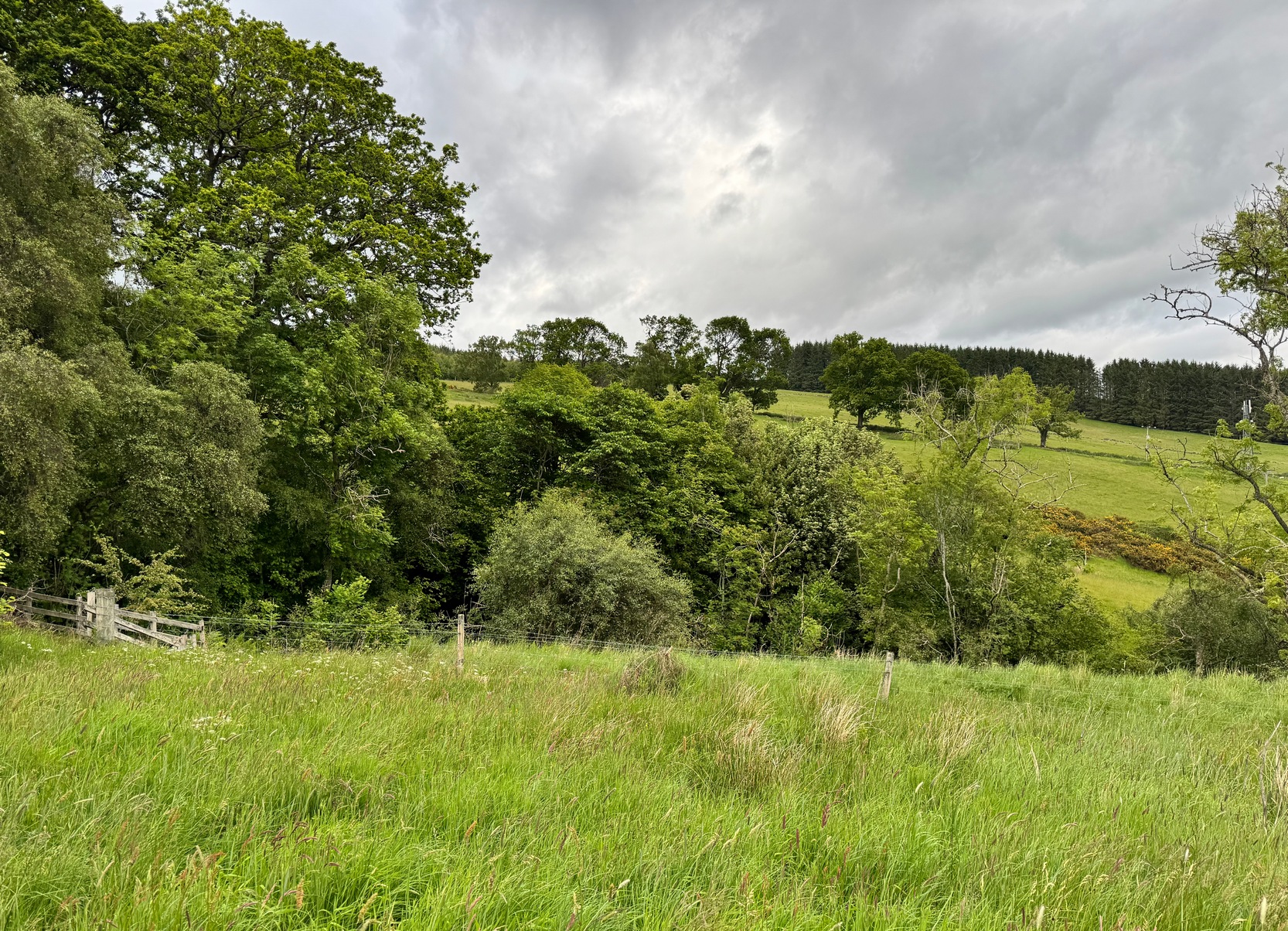
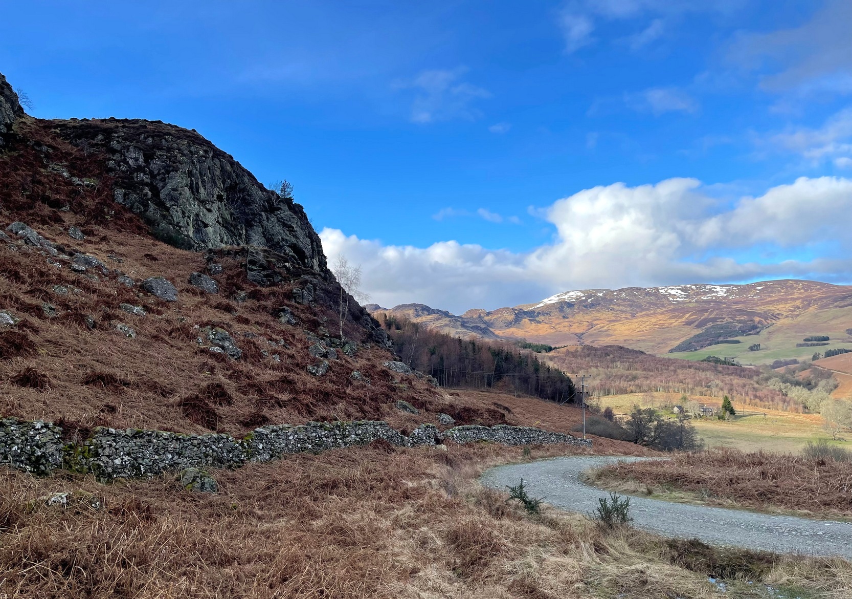
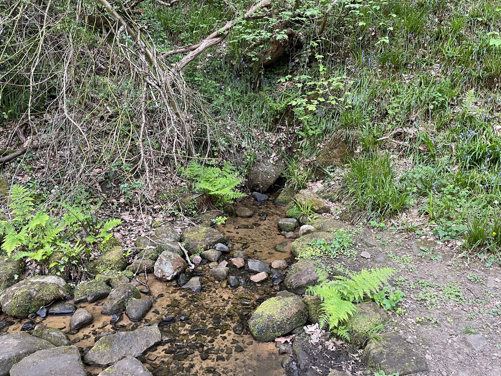
Park up at the red phone-box in Strathtay village (by the road junction) and walk east along the road (slightly downhill) for less than 50 yards, then turn left and walk up the track. 70-80 yards up, keep your eyes peeled for the distinct footpath on your right (don’t head up to the house) that runs into the trees and keep walking uphill for literally ½-mile where you’ll reach the gorgeous overgrown scented orchard of Tullypowrie farmhouse on the left. Keep walking along the path past the farm and, if you fancy, cross the burn (stream) anywhere hereby. The well is on the other side of the burn, somewhere…..
Archaeology & History
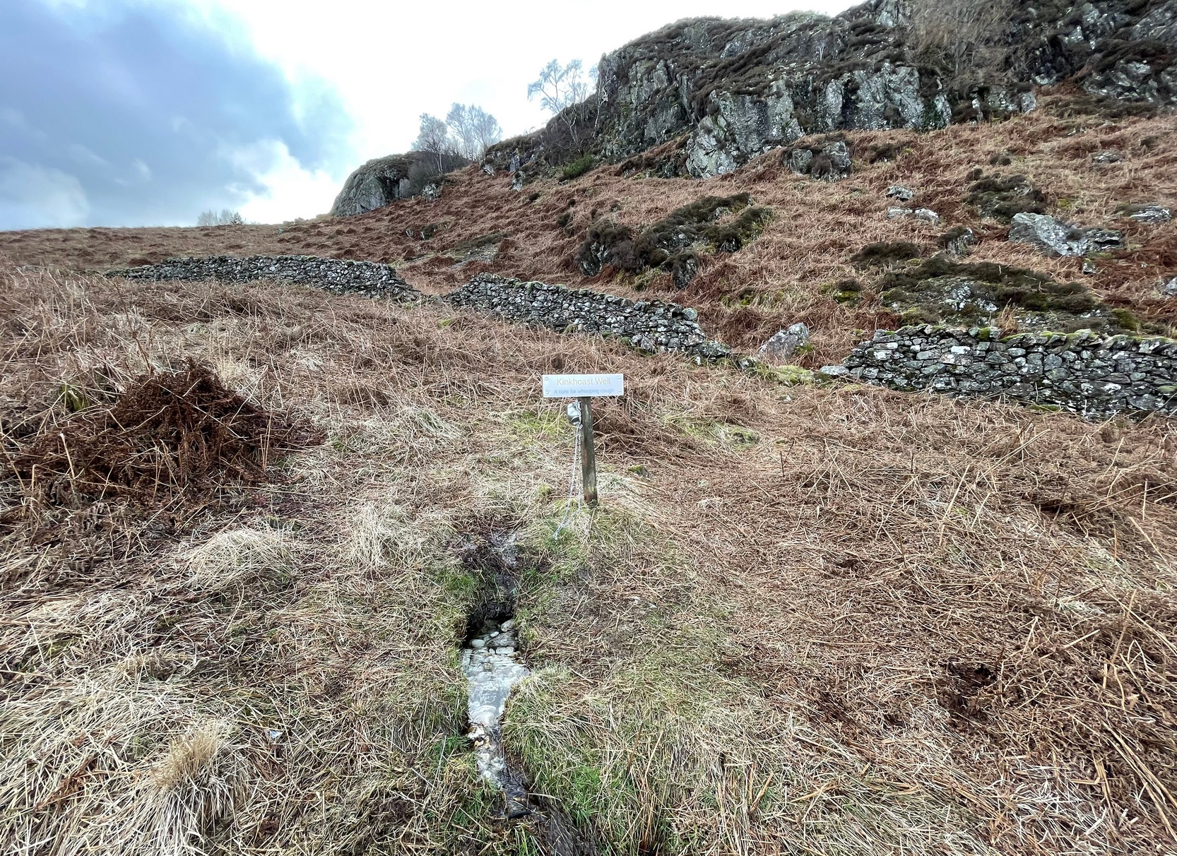
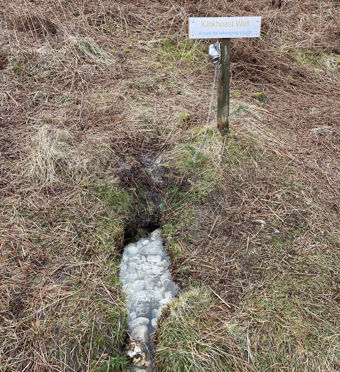
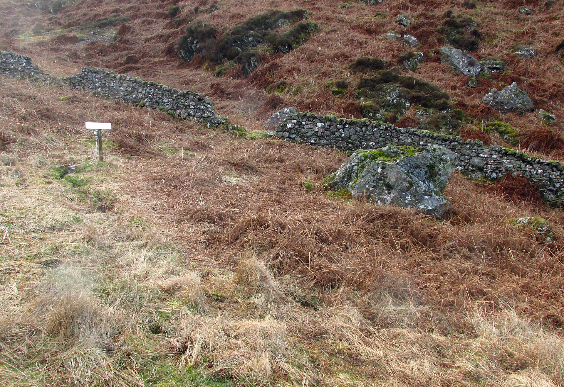
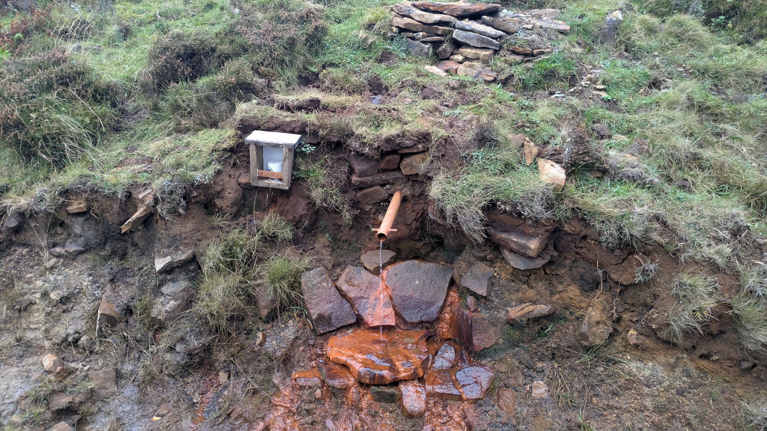
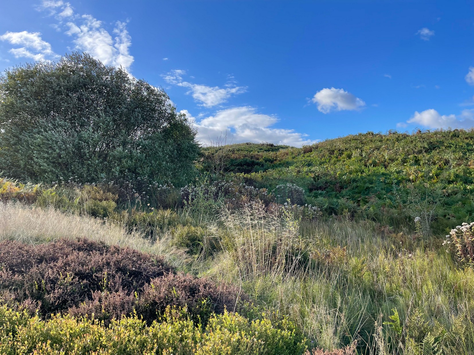
We ventured up here recently to look at several sites, but when we came to find this long lost well we were hindered severely by the mass of vegetation that was teeming with ticks—so thought it most sensible to come back here again at the end of winter when we’d have a clean slate of landscape to look at. (the ticks have got fucking awful in this neck o’ the woods in recent years!) It has almost fallen out of history, with no one writing about the place for more than a hundred years, yet it was a place of considerable importance in the folk traditions of Strathtay.
In some previously unpublished notes written by the historian Charles Robertson sometime at the beginning of the 20th century, he told of a lady from Pitlochry called Mrs Anderson who informed him of an important water source known locally as Sput na-fruith-chasd which,
“comes spouting out of a high rock on the east side of the Tullypowrie Burn opposite Tullypowrie farm, and was resorted to of old for the cure of whooping cough. The sufferer who came here and drank of the water always got better too.”
It was described by the Logierait schoolmaster James Kennedy (1927) as one of “the three most important (wells) in the Tay Valley”—and there are a lot of wells in the Tay Valley!
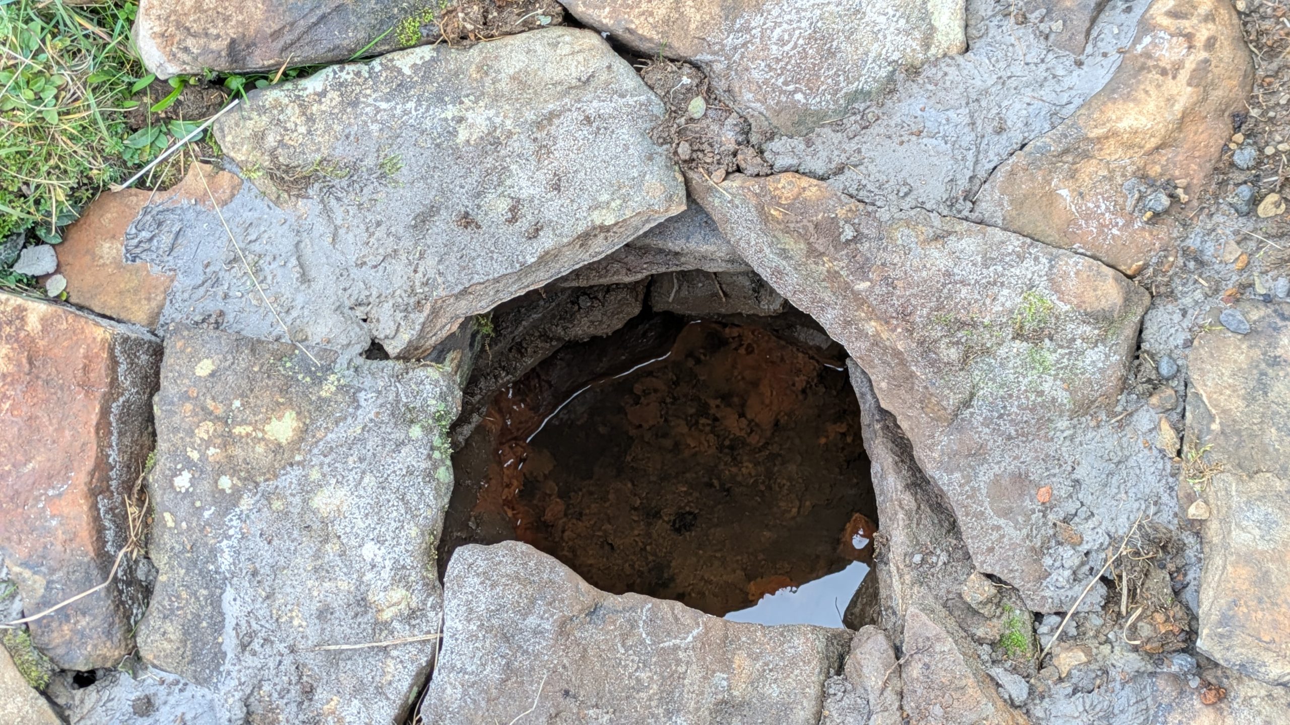
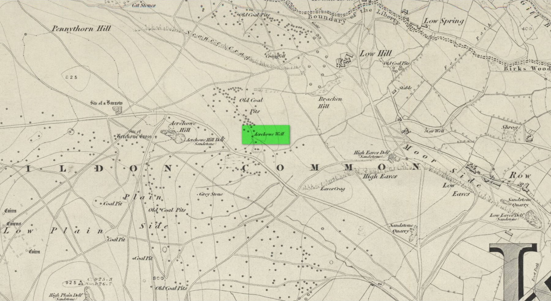
There’s a slight discrepancy regarding the exact location of the well: whilst Mr Robertson’s notes told that it was found “opposite Tullypowrie farm”, in Hugh Mitchell’s (1923) survey of local antiquities he told that,
“On the oppsite side of the burn from the mill there is a drip well, the water from which was for long regarded as a certain cure for whooping cough”—
which would place the well a hundred yards or so further upstream. (the very low-lying walls of the mill can just be discerned a short distance above the farmhouse) I’m sure that a good search of the area after Winter has laid the vegetation to rest will tell us one way or the other precisely where this curative well is hiding.
Across the burn from the well is the barely visible ruins of an old church: Roman Catholic according to tradition, with a singular short carved cross standing on the low remains of its eastern wall. Close to this, but now in the field a few hundred yards west, was the curious bullaun stone known as Clach na Buidseach, or Witchcraft Stone. This bullaun would seem to have been used in rites related to the Whooping Cough Well, but the precise nature of these rites has been lost.
References:
- Dixon, John H., Pitlochry, Past and Present, L. Mackay: Pitlochry 1925.
- Kennedy, James, Folklore and Reminiscences of Strathtay and Grandtully, Munro Press: Perth 1927.
- Mitchell, Hugh, Pitlochry District: Its Topography, Archaeology and History, L. Mackay: Pitlochry 1923.
© Paul Bennett, The Northern Antiquarian