Hillfort: OS Grid Reference – SU 5696 9244
Also Known as:
- Sinodun Camp
- Wittenham Clumps
Getting Here
Either reach this from Dorchester’s Dyke Hills by crossing the bridge over the Thames at its southwestern side and walk thru the village and up the fields to the wooded rise on your left; or simply get take the road between Brightwell-cum-Sotwell to the delightful village of Little Wittenham and, on your right-hand side, notes the unmissable clump of trees and rise in the fields on your right. That’s the place!
Archaeology & History

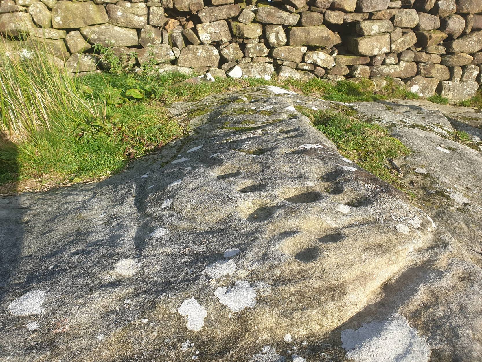
To be found on the southern side of the River Thames, across from the huge Dyke Hills camp, this prominent enclosed hillfort was thought to be a place where the tribal peoples of differing groups converged — the Dubonni, the Catuvellauni, and Atrebates peoples. And to this day it remains impressive. Long thought to have been merely the province of Iron Age settlers, in more recent years it has shown to have had a longer and richer history than academics previously dare write about. In Jean Cook’s (1985) fine work on the archaeology of the region, she described the typical narrative Castle Hill elicited from professionals until only a few years back, saying:
“The hillfort on Wittenham Clumps covers approximately 4 hectares (c. 10 acres) and comprises a single ditch and rampart. It commands superb views northwards up the Thames valley and to the south and west across the Vale of White Horse to the Berkshire Downs, where a series of similar hillforts follows the line of an ancient route — the Ridgeway. The fort has never been excavated, although frequent past ploughings have produced Iron Age and early Saxon sherds as well as Romano-British pottery. However, to the south of the hillfort…a well-stratified Iron Age settlement was found. It seems probable on the basis of other excavated sites that the fort was permanently occupied. It would have developed as a regional administrative and political centre, with specialist craftsmen and traders and would have performed some of the same functions as a medieval market town.”
Although Cook’s latter remarks should be addressed with caution (market economics was far from the mythic perspectives of Iron Age people), this great site was of obvious importance. But later excavations at the site in 2002-03 showed that the site had in fact been used by neolithic people and, around the tops, flints and other remains were found that took human activity here back into mesolithic times, with some finds dated around 6000 BC! More surprisingly (to archaeologists anyway) was that Castle Hill continued to be used way into medieval times!
Thankfully much of this place is still pretty well-preserved and is well worth exploring to historians, pagans and walkers.
References:
- Cook, Jean, “Before the Roman Conquest,” in Dorchester through the Ages, Oxford University 1985.
- Cook, Jean & Rowley, Trevor (eds.), Dorchester through the Ages, Oxford University 1985.
Links:
© Paul Bennett, The Northern Antiquarian