Standing Stone: OS Grid Reference – NY 37616 92734
Archaeology & History
This is a site that requires the attention of some local antiquarians, as there are conflicting reports as to whether or not it still lives in its old haunt. Very little has been written about it and its whereabouts seems to have been completely missed in the radars of all megalithic guides. The Langholm historians—John and Robert Hyslop (1912)—who wrote about the place in their gigantic history work more than a hundred years ago, would no doubt be shaking their heads at such lackings.
They told:
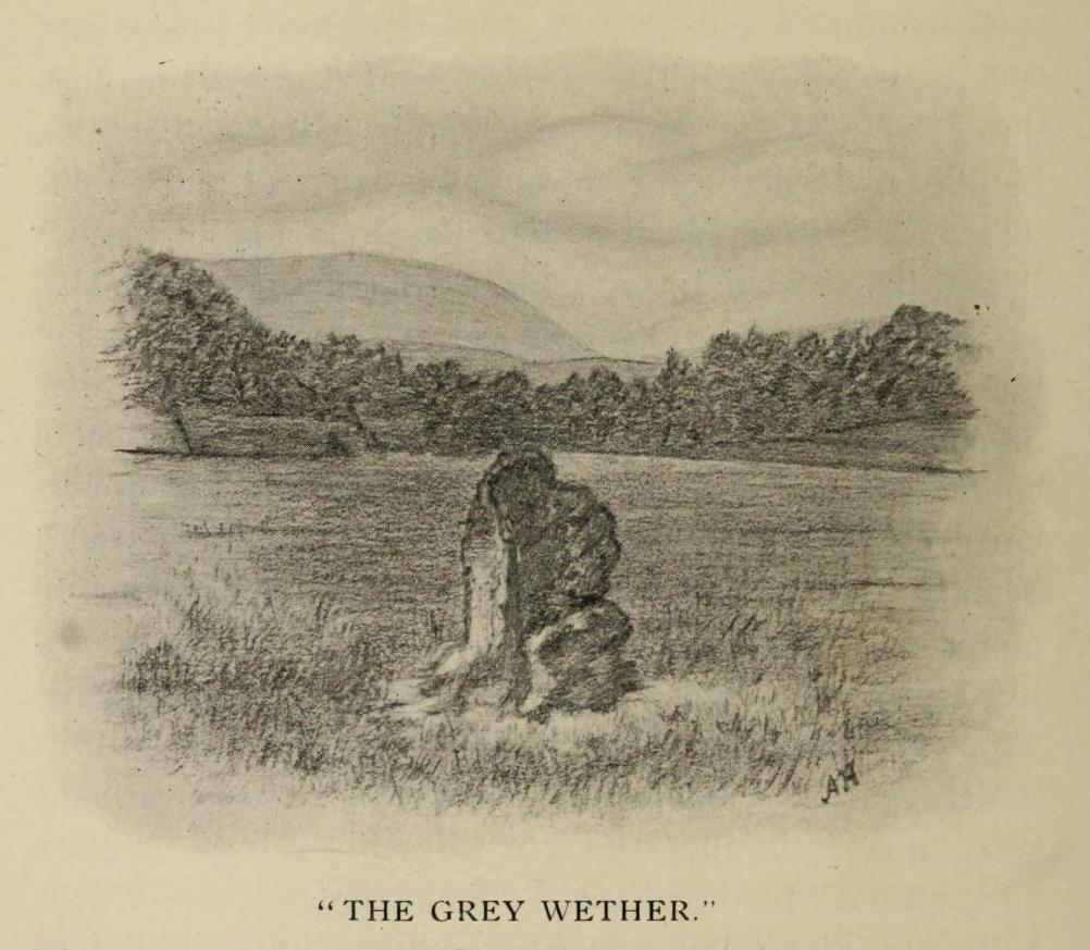
“The best example of the standing stones in the Eskdale district is that at Meikledale in Ewes, locally known as ” The Grey Wether,” a print of which is here given. It is about 5 feet in height and its girth is 8 feet 7 inches, and it would probably weigh about two tons. The stone is the common greywacke, or whinstone of the Silurian series, rough and unhewn. It stands in the centre of a field in front of Meikledale House, and can be seen from the highway. The field is surrounded by hills on every side,”
which the writers thought might have been the reason for its erection here, although having more to do with the natural beauty of the landscape than any archaeocentric or geomantic factor.
Shortly after this had been written, Alexander Curle of the Royal Commission visited the area and made note of this “standing stone known as the Grey Wether…situated on the haughland some 250 yds SSE of Meikledale”, but added nothing more. It was several years later before a Royal Commission (1920) team came here and told that,
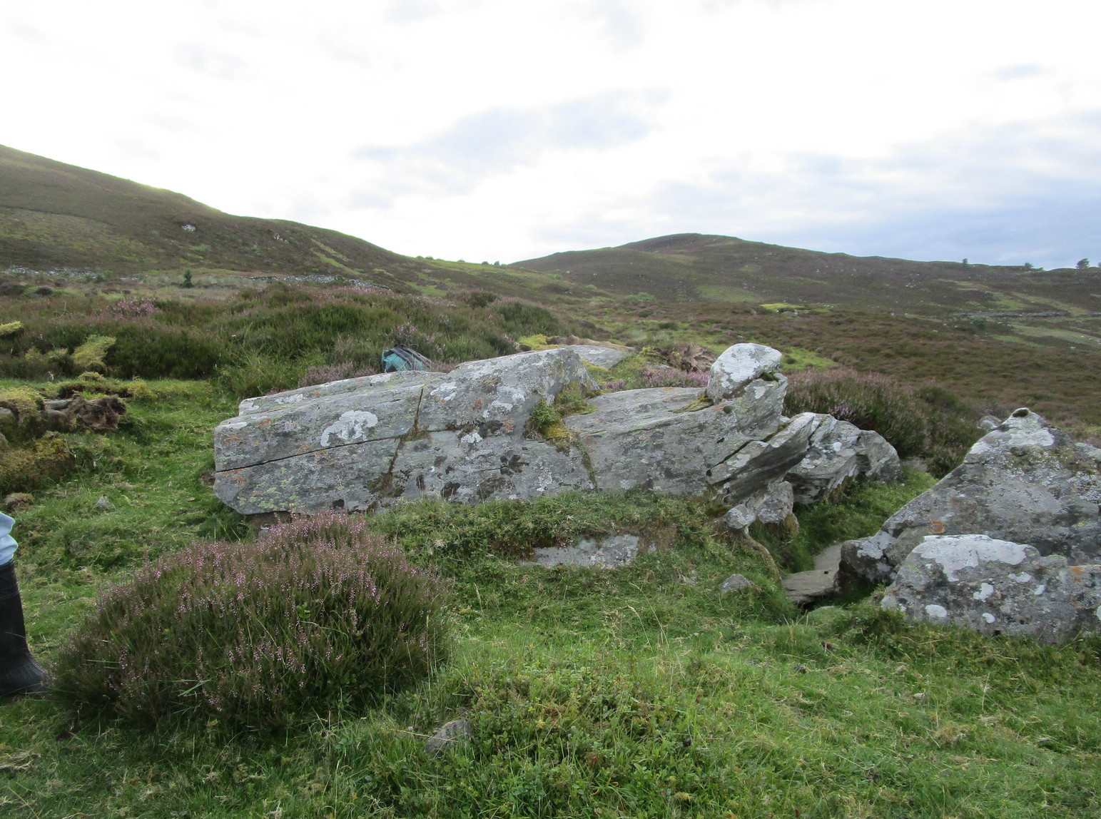
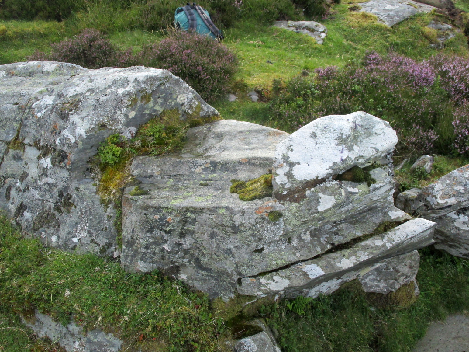
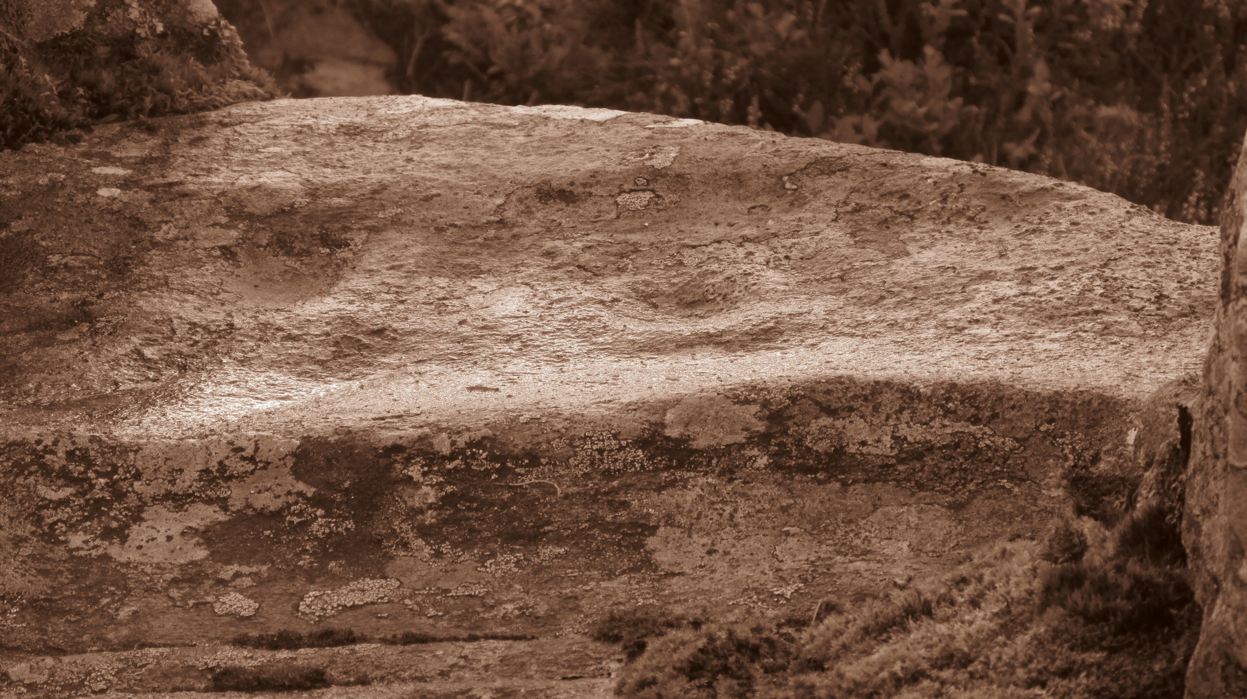
“A standing-stone, known as the “Grey Wether,” is situated on the haugh-land, some 250 yards south-south-east of Meikledale. It is a large whinstone slab, measuring in greatest height 4 feet 8 inches, in breadth 3 feet 5 inches, and in thickness 1 foot, and faces west-south-west and east-north-east.”
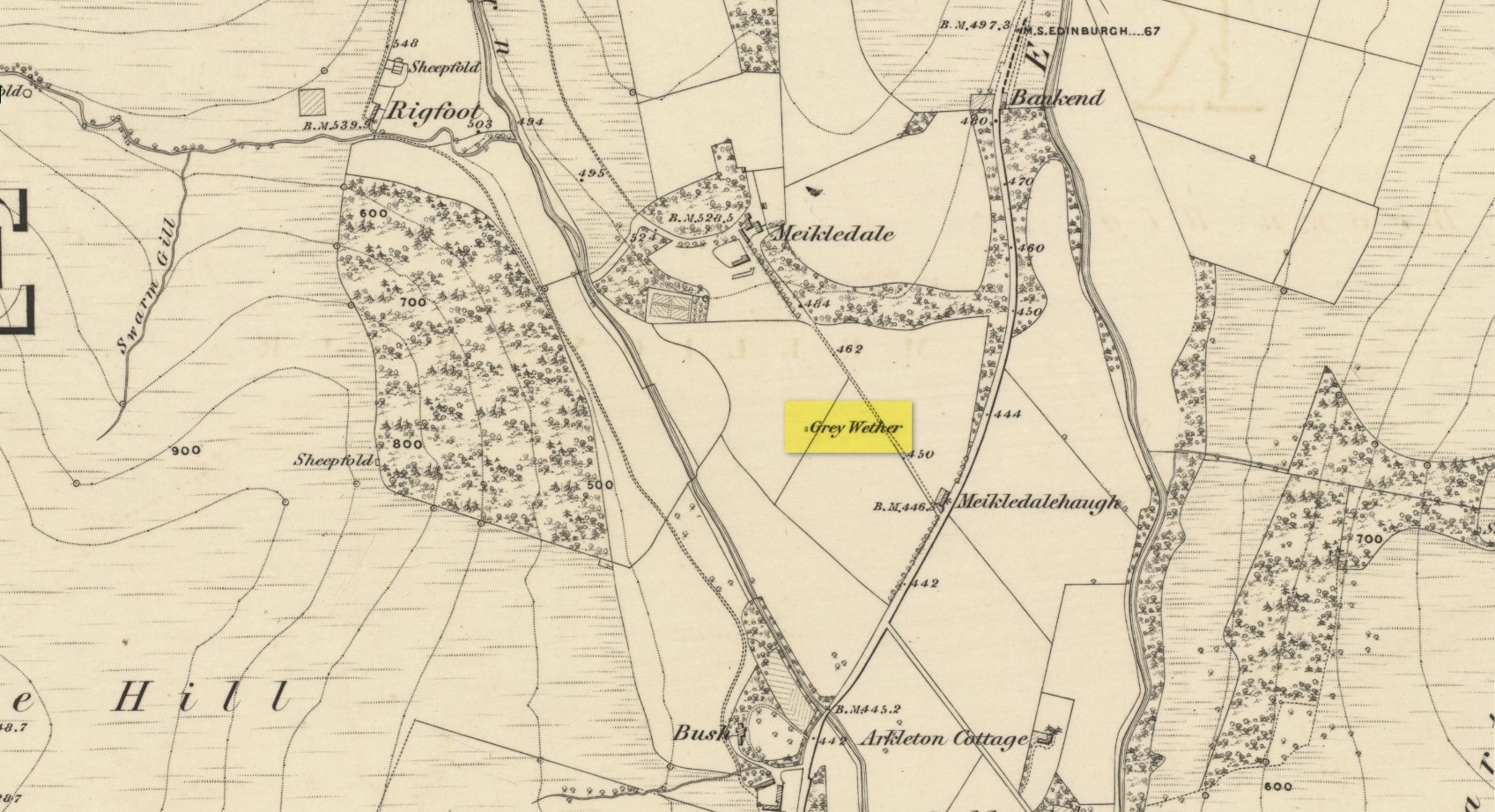
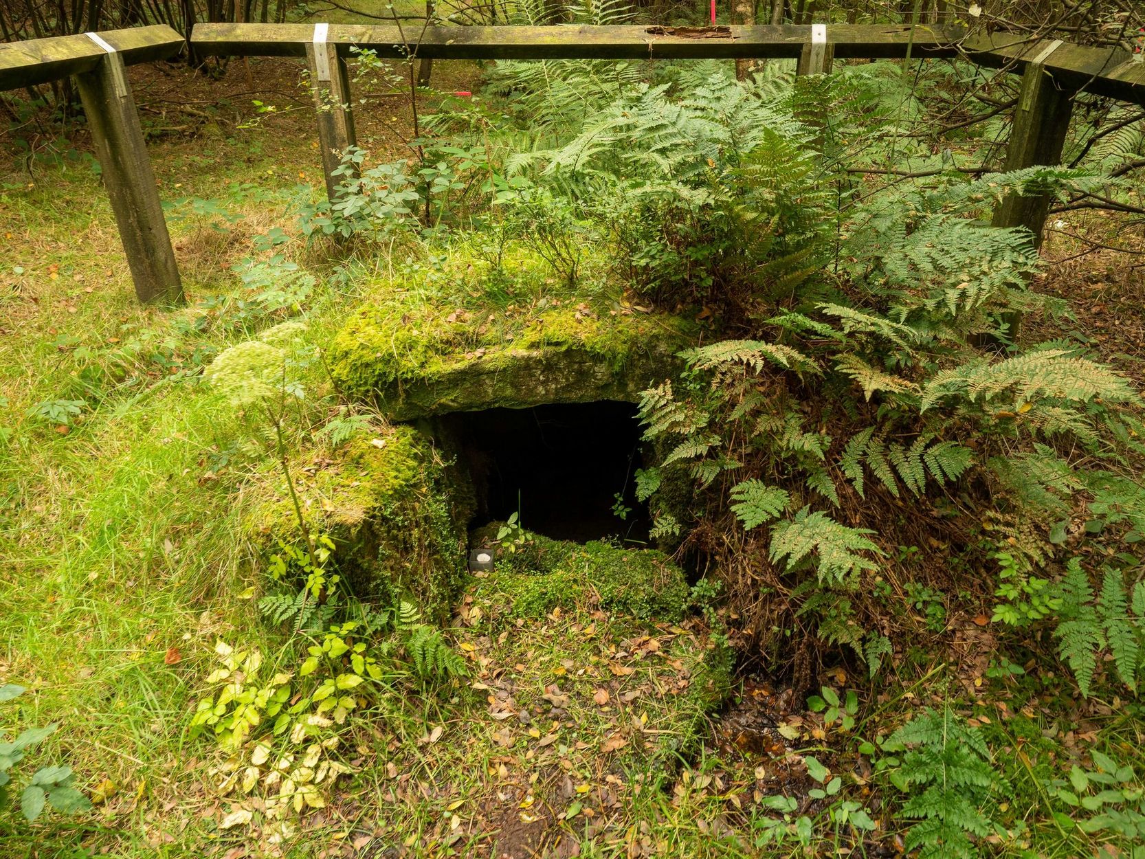
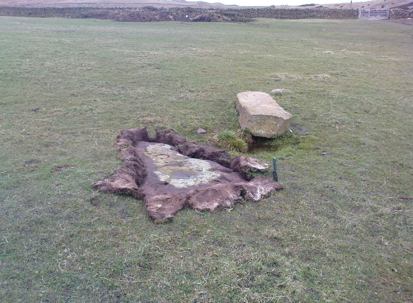
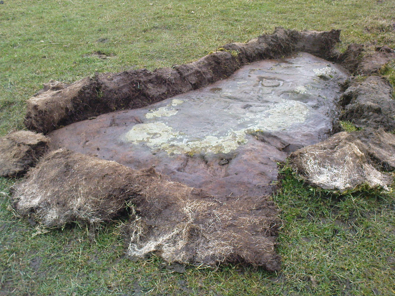
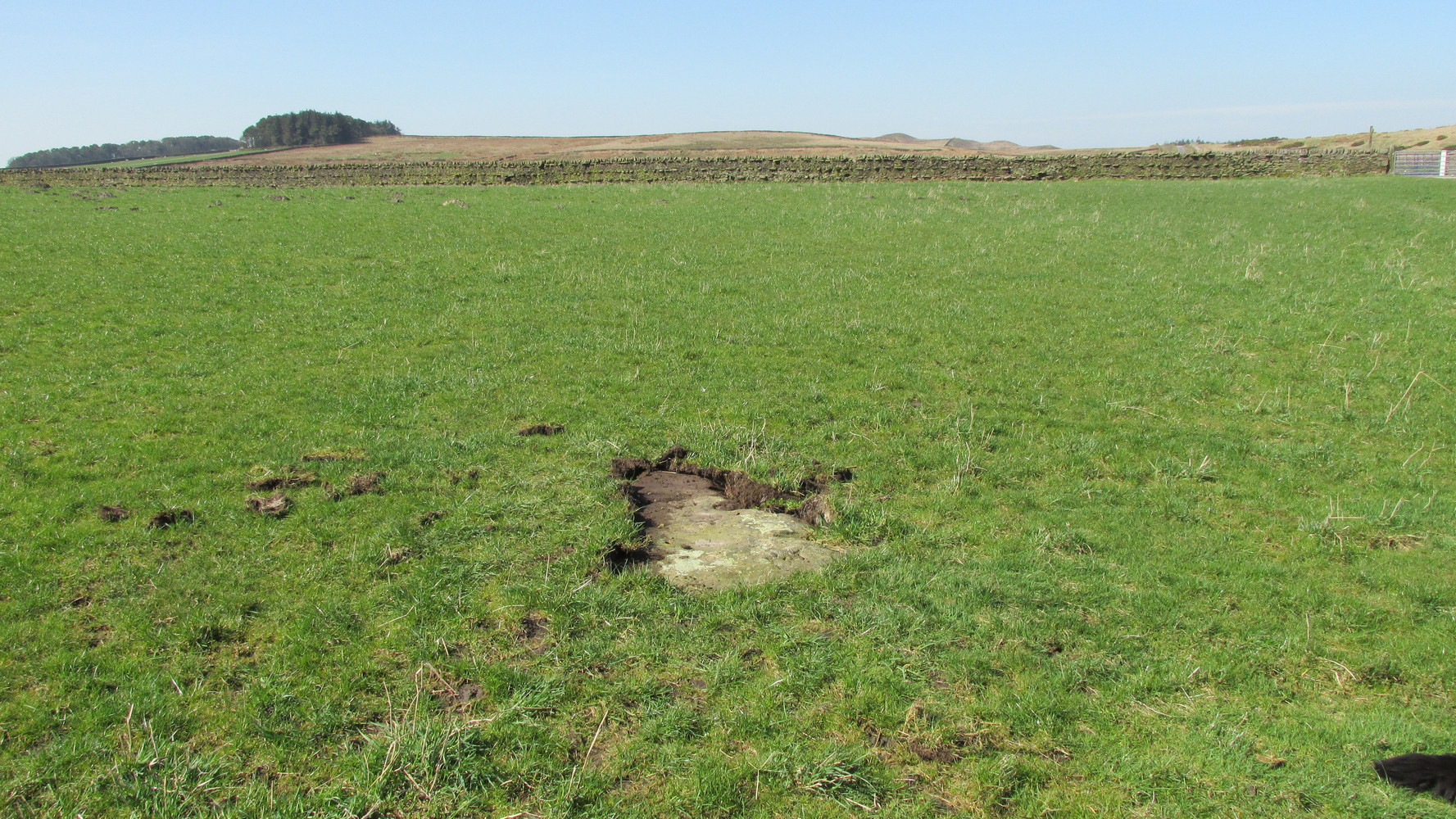
But they subsequently reported that, prior to World War 2, some complete dickhead knocked it down, broke it up and dumped it in a nearby stream! However, in 1980 some more lads from the Scottish Royal Commission revisited the area and alleged that a stone laid in the field 250 yards below of Meikledale farmhouse was our old Grey Wether. The position they describe is the same spot as the one shown on the 1857 OS-map; and at this very spot on GoogleEarth it seems that a stone there lies… Are there are any local folk in that neck o’ the woods who could find out…?
Folklore
The Greywethers stone circle on Dartmoor has a veritable mass of folklore attached to it, but its namesake here at Langholm has very little. The origin of its name has been forgotten. All we have left is what the Ordnance Name Book in 1857 recorded, telling that “it is supposed to have been erected in memory of some Hero, but no further account of it can be obtained.”
References:
- Hyslop, John & Robert, Langholm, As it Was, Hills: Sunderland 1912.
- Royal Commission on Ancient & Historical Monuments Scotland, Inventory of Monuments and Constructions in the County of Dumfries, HMSO: Edinburgh 1920.
- Royal Commission on Ancient & Historical Monuments Scotland, Eastern Dumfriesshire: An Archaeological Landscape, HMSO: Edinburgh 1997.
© Paul Bennett, The Northern Antiquarian