Cup-and-Ring Stone: OS Grid Reference – NN 81334 45077
Getting Here
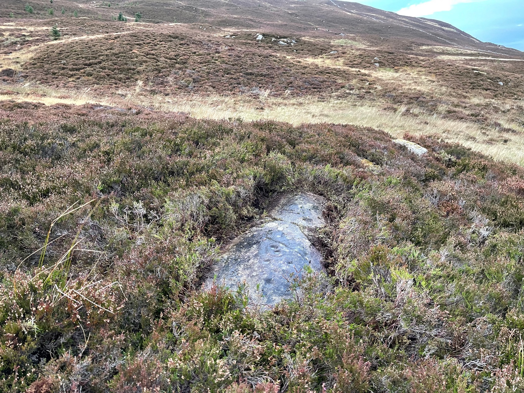
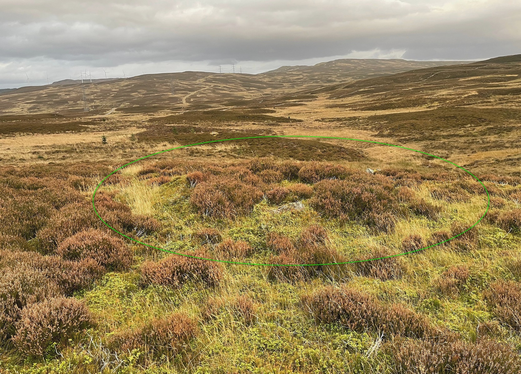
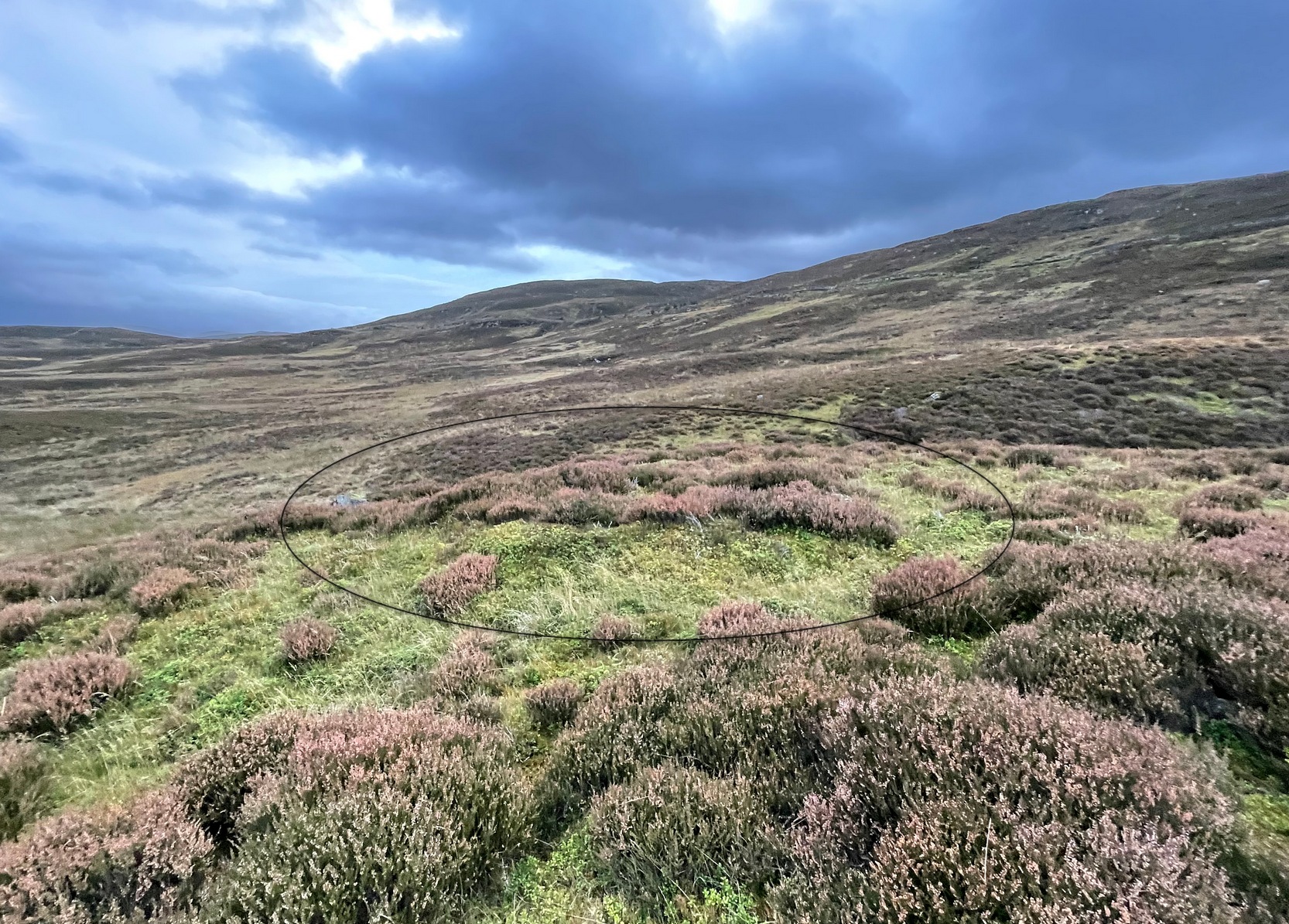
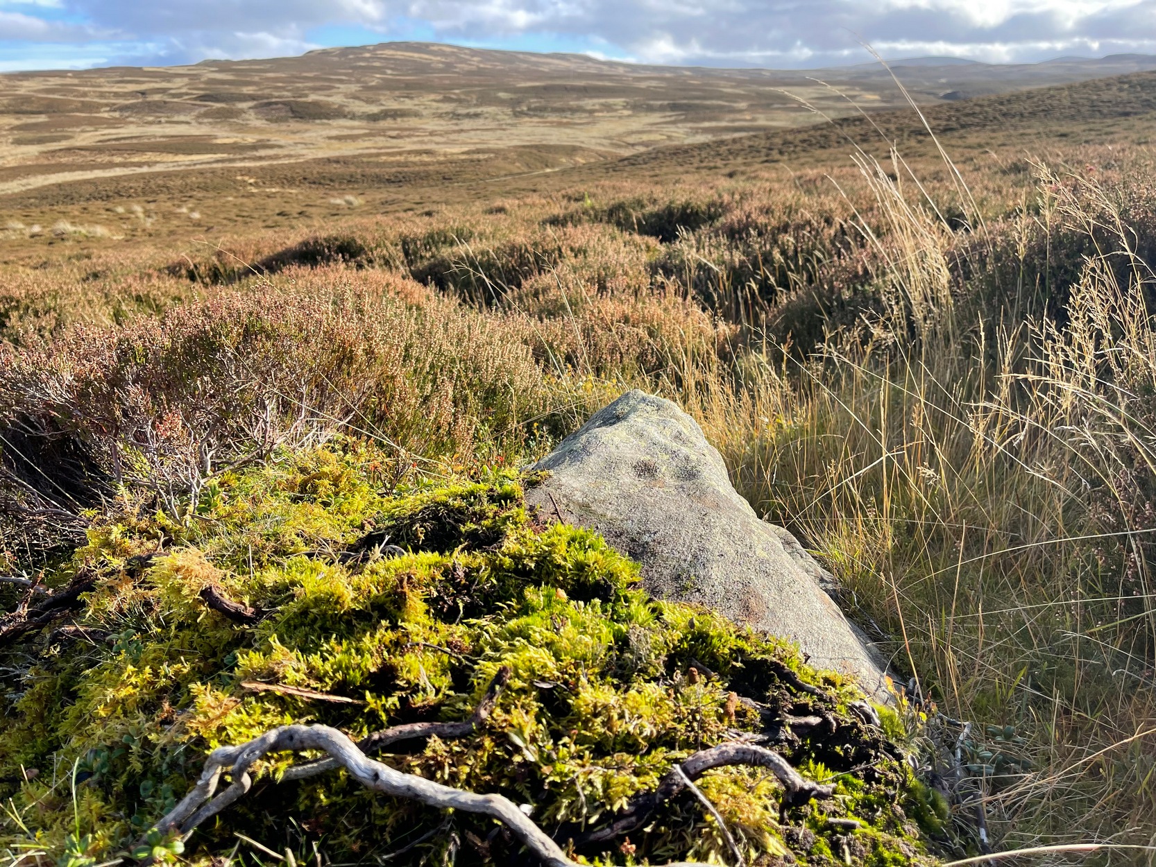
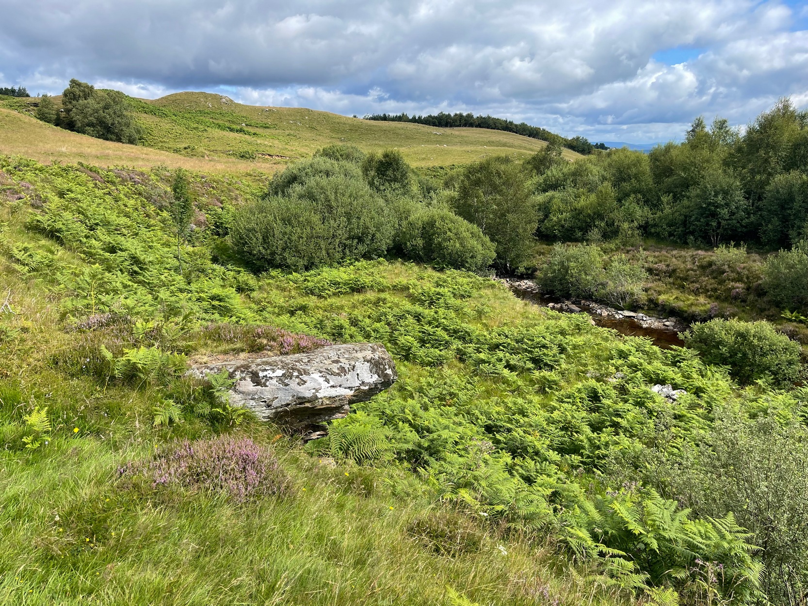
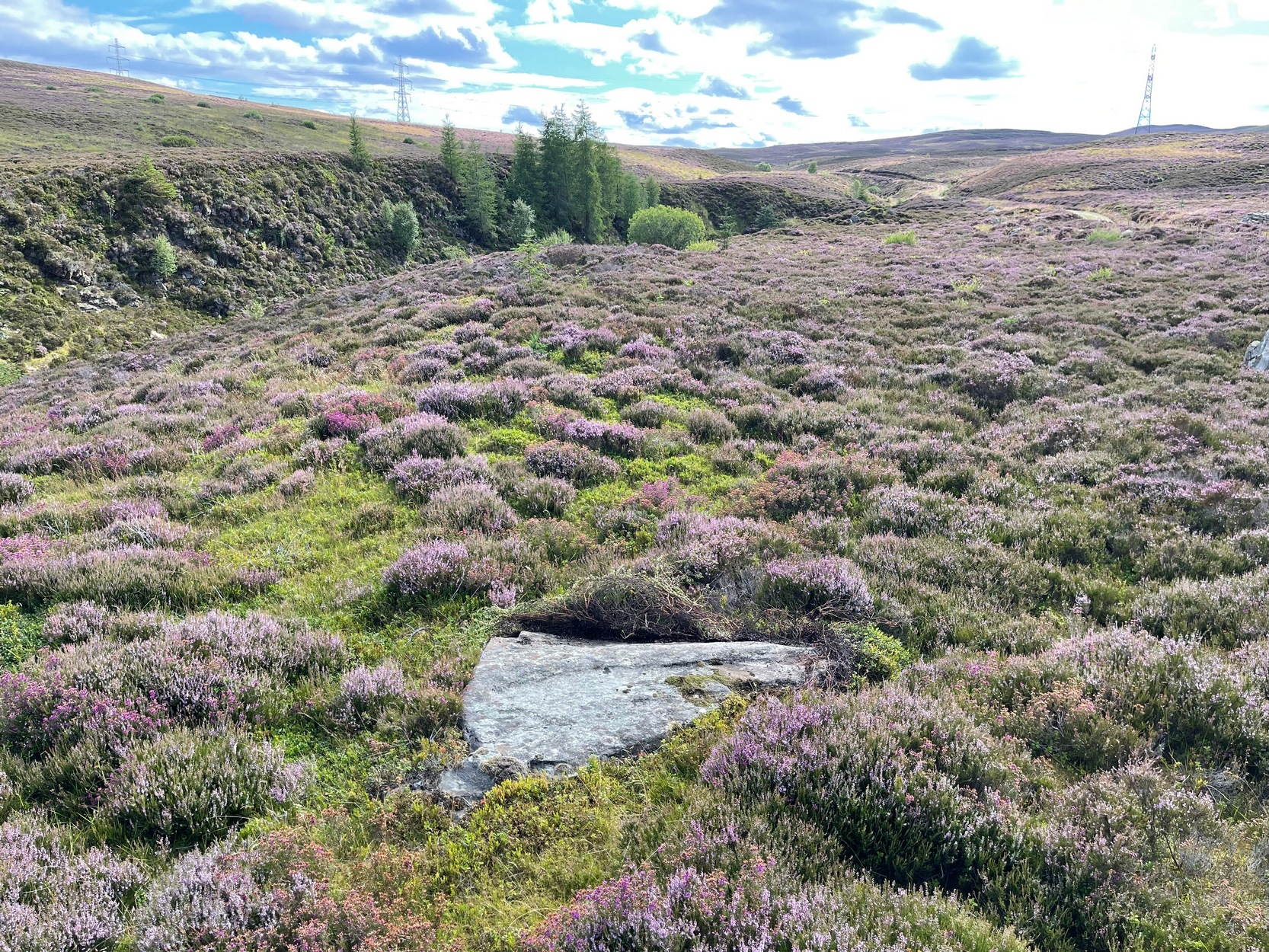
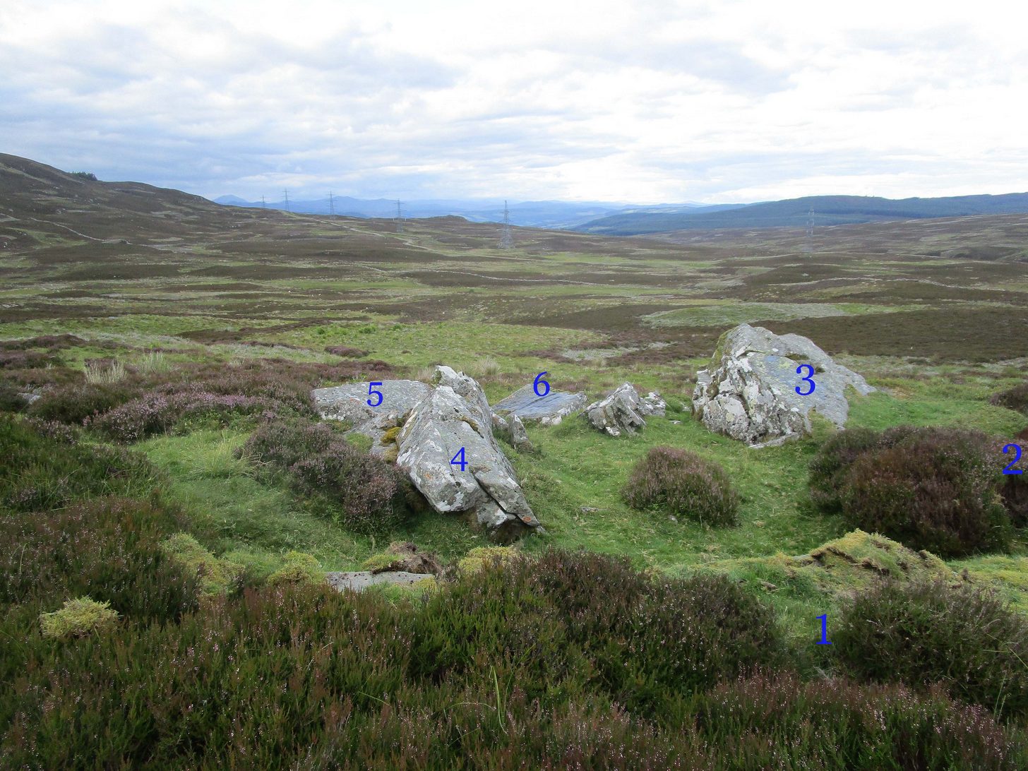
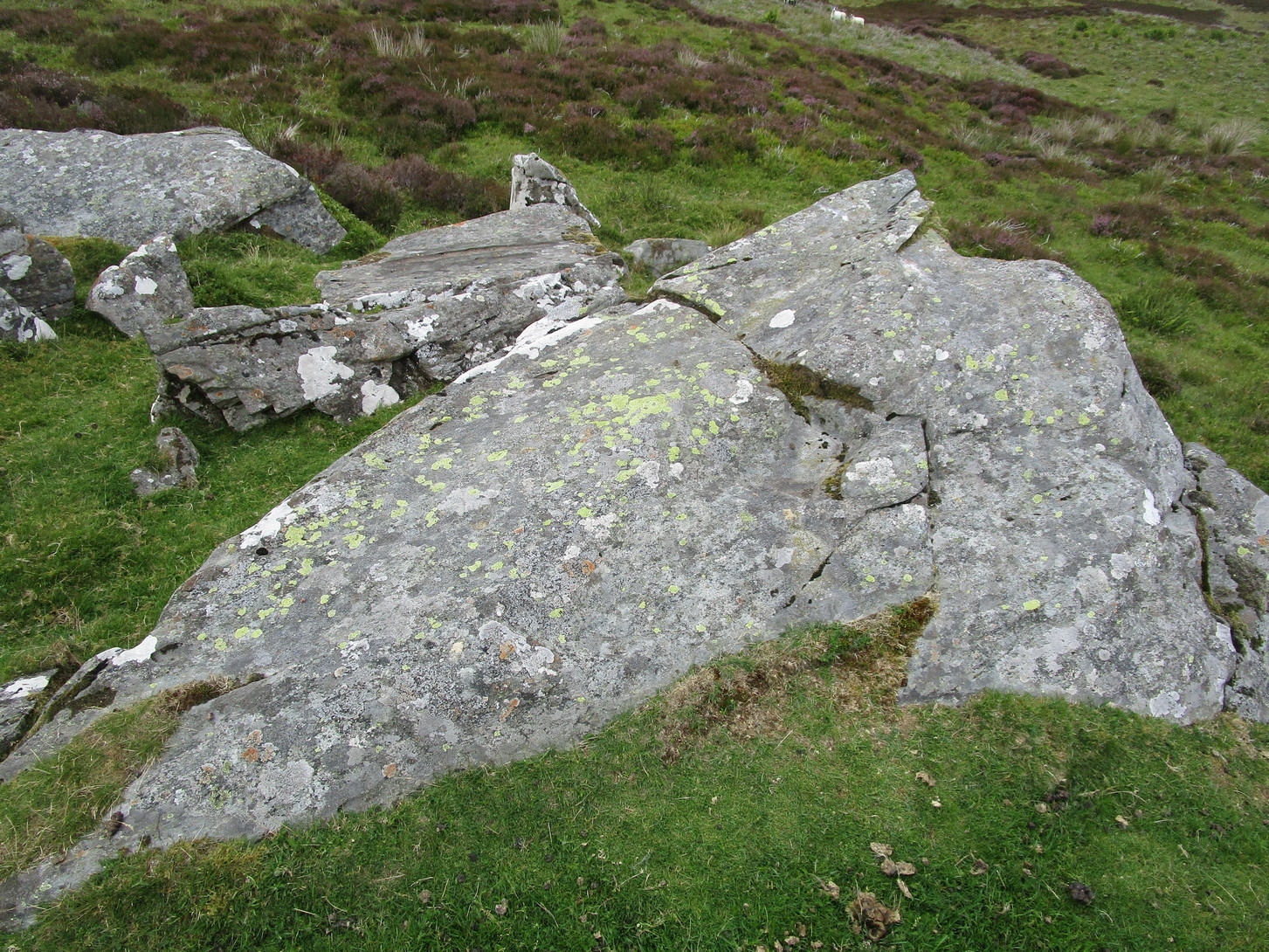
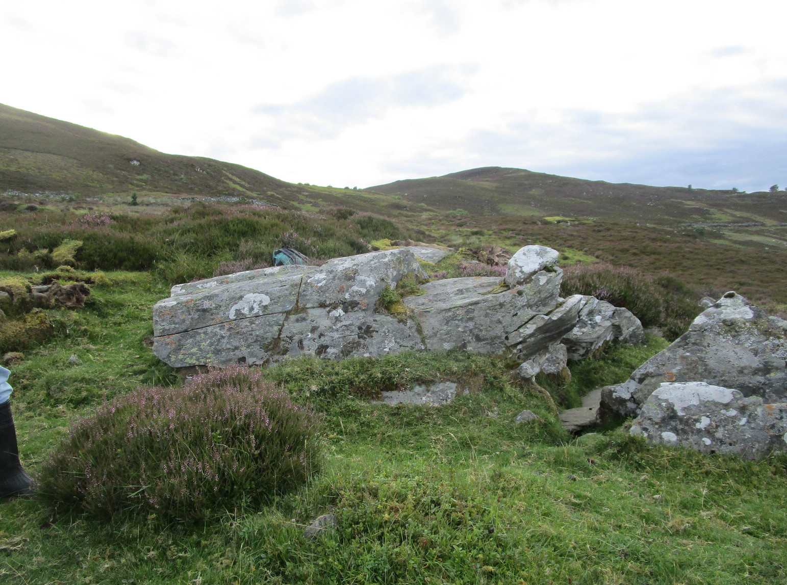
Like many of the Craig Hill carvings, this takes some finding when the heather’s deep… If you can locate the Craig Hill hut circle (there are actually several of them close to each other), face uphill (looking at the trees) and then from the hut circle walk diagonally to your right (northeast) and walk up the slope for 30-40 yards. A large boulder is in front of you and, just past it at the edge of a small rock-face, a fallen tree is your marker. Just a few yards above and past this is an earthfast elongated stretch of rock. You’ll find it…
Archaeology & History
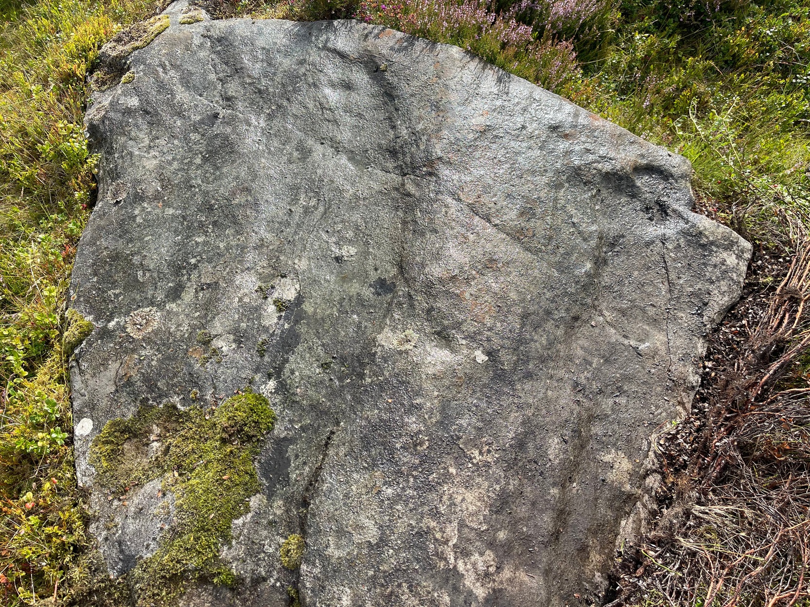
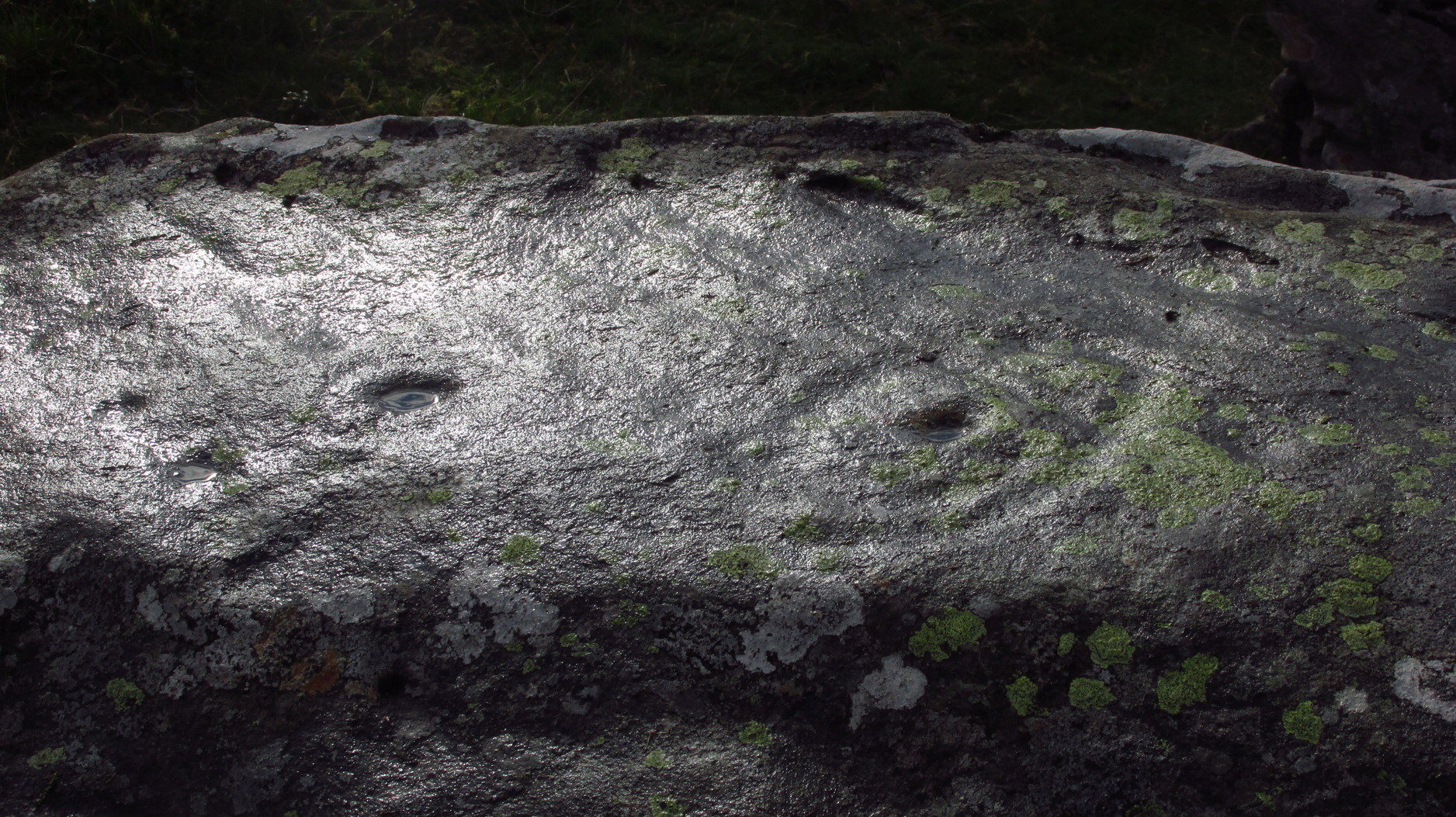
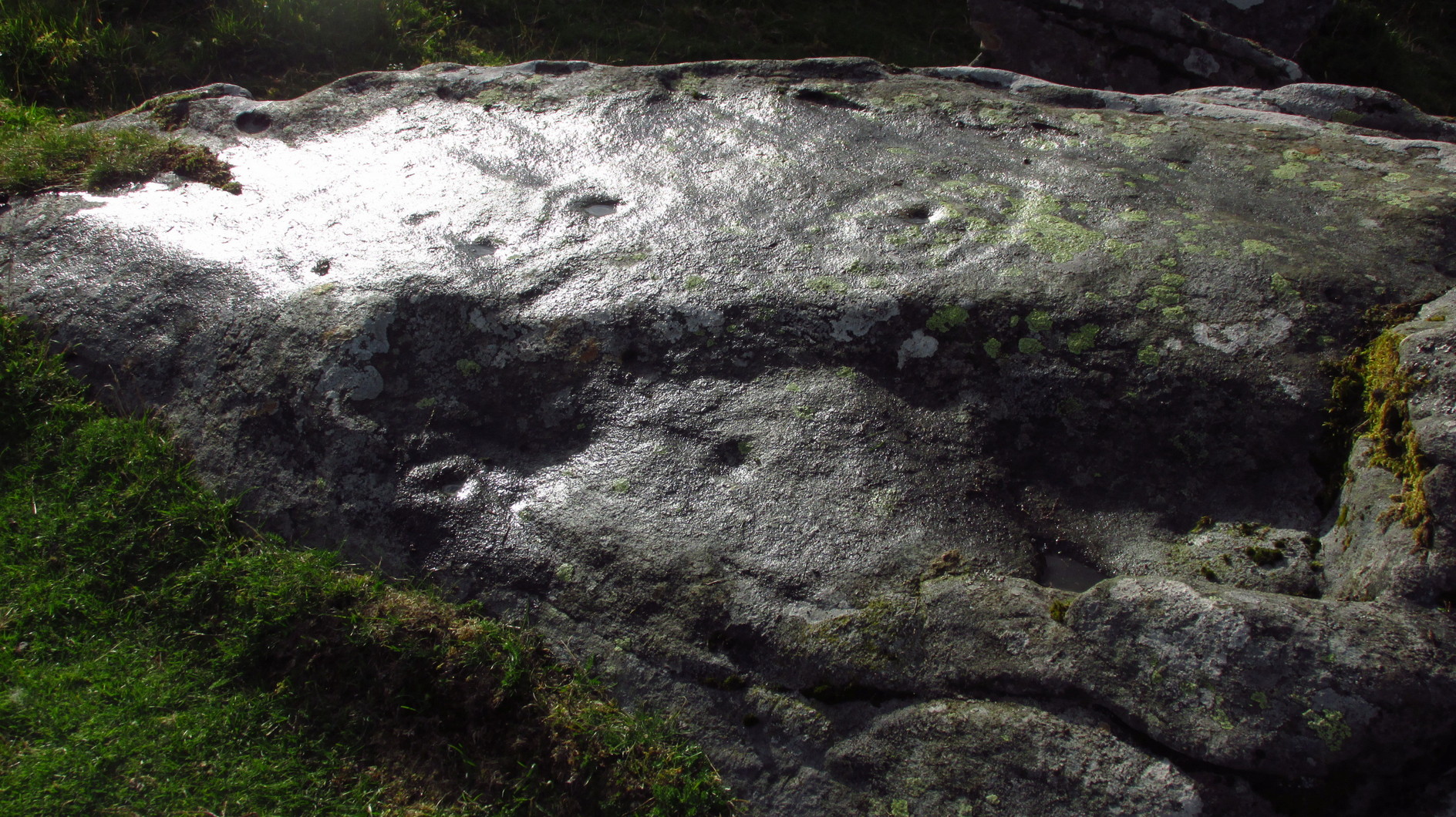
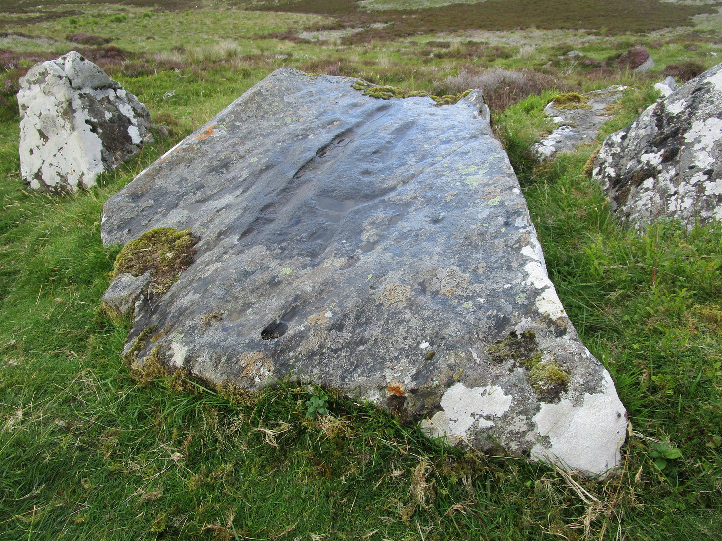
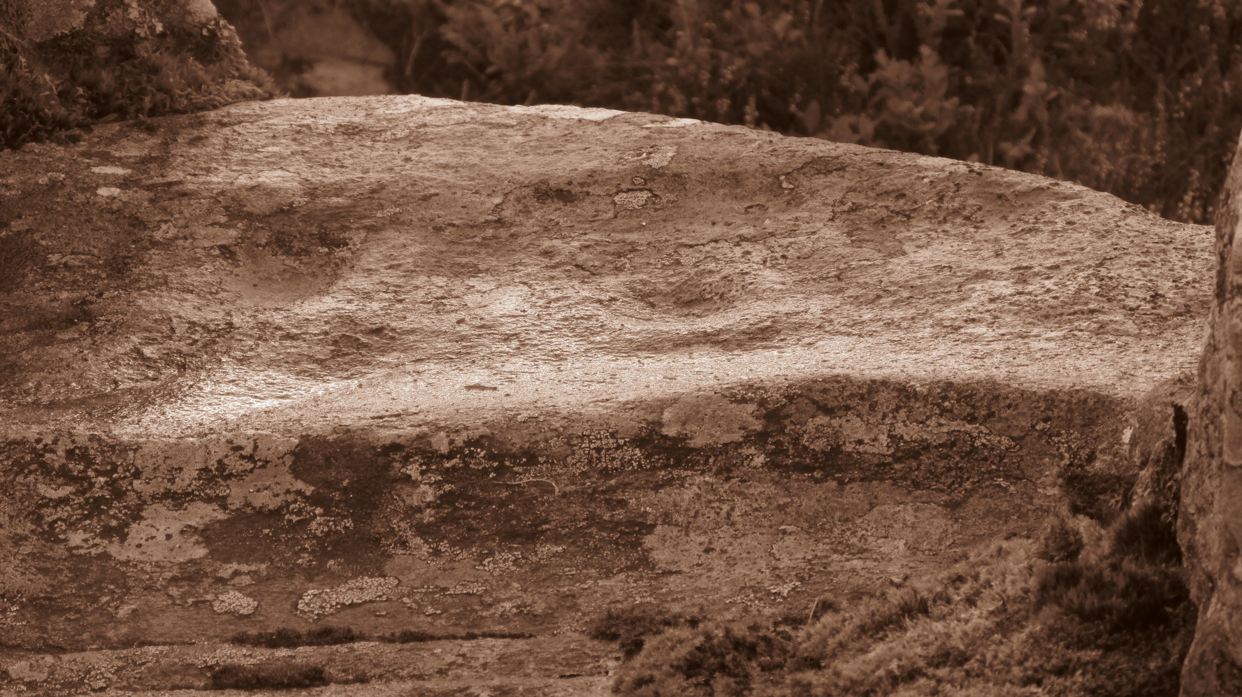
On my visit to this carving I arrived near the end of the day. Within the hour, beneath an already cloudy grey sky, night had fallen; and so, obviously, my assessment of this carvings design was somewhat hampered…
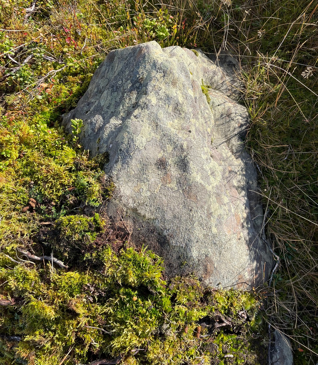
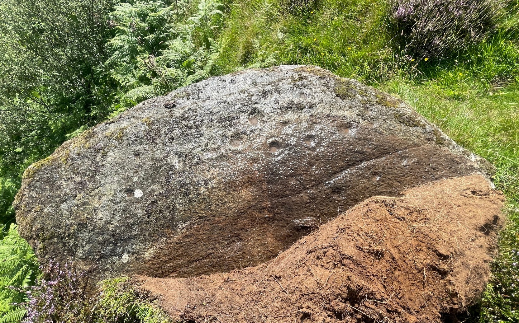
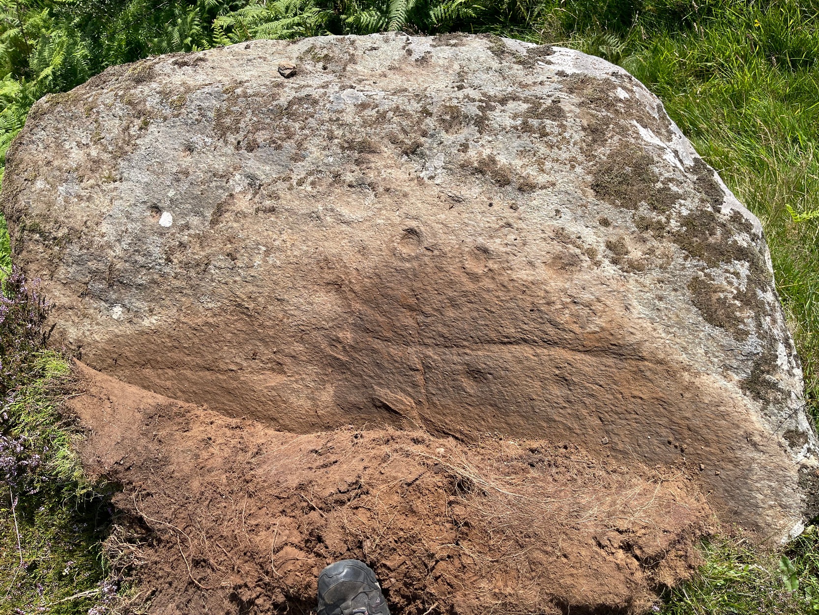
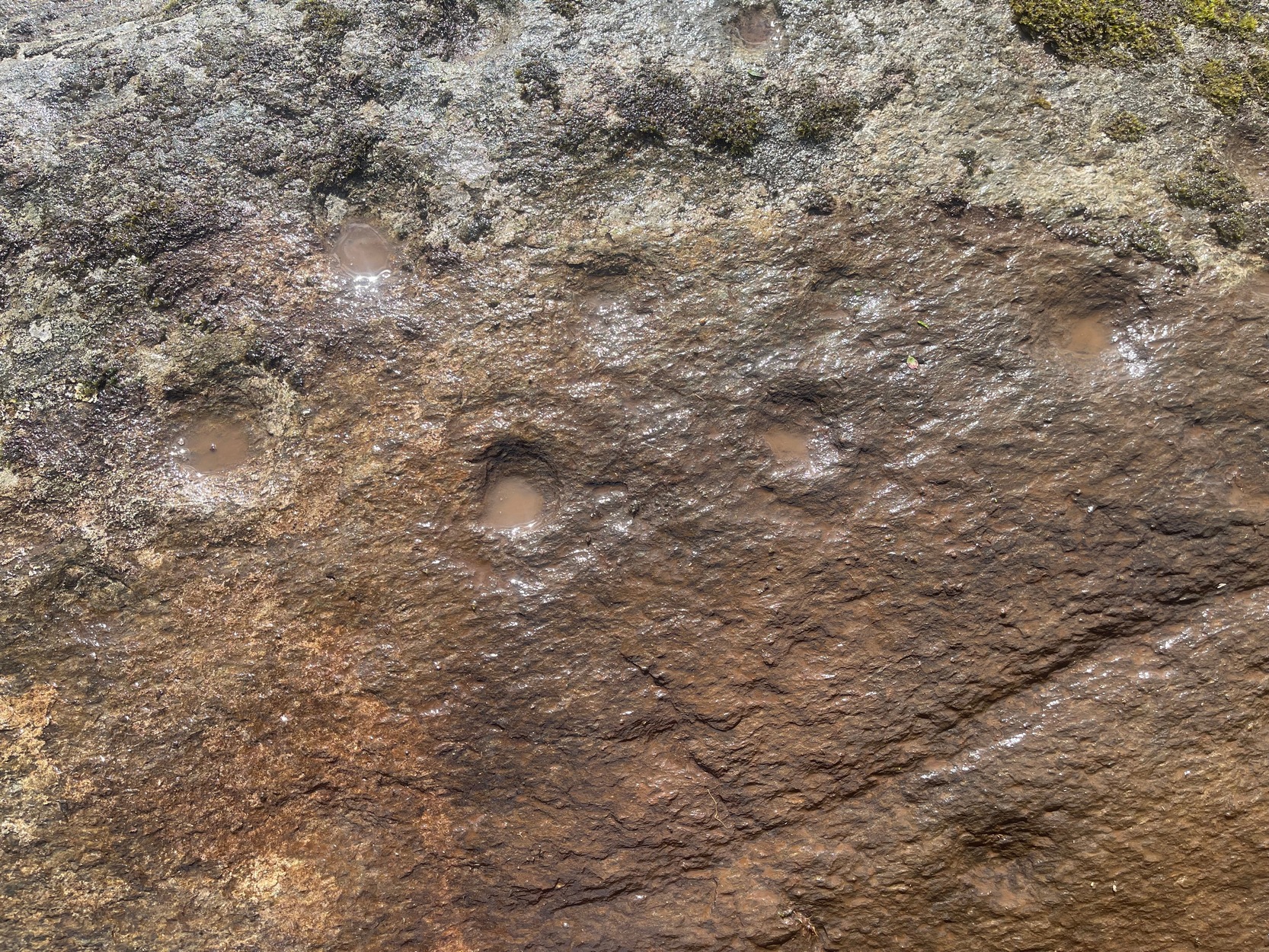
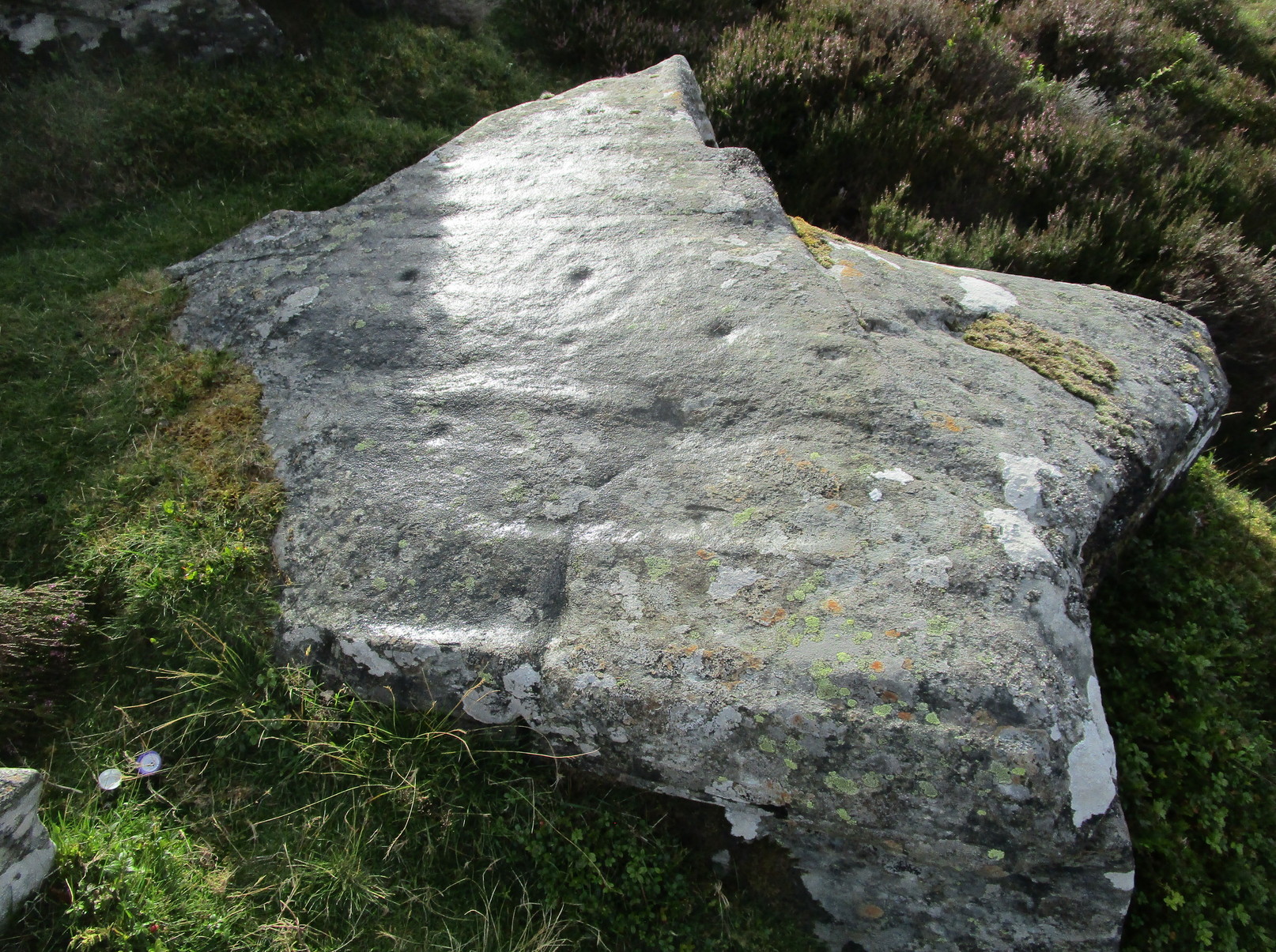
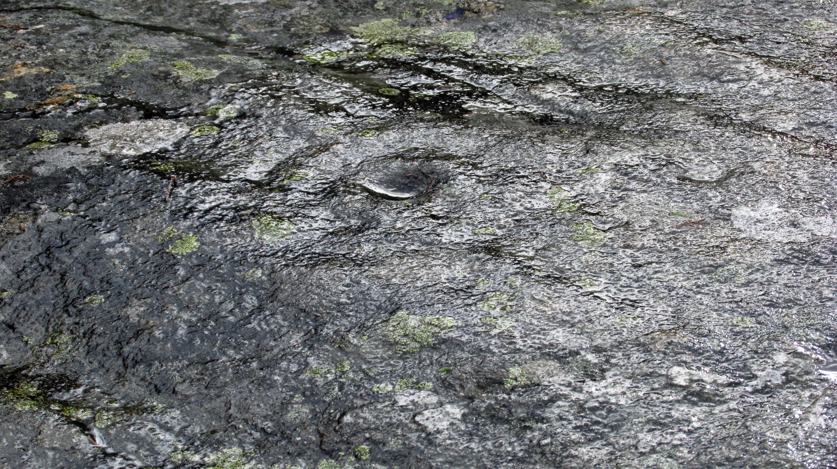
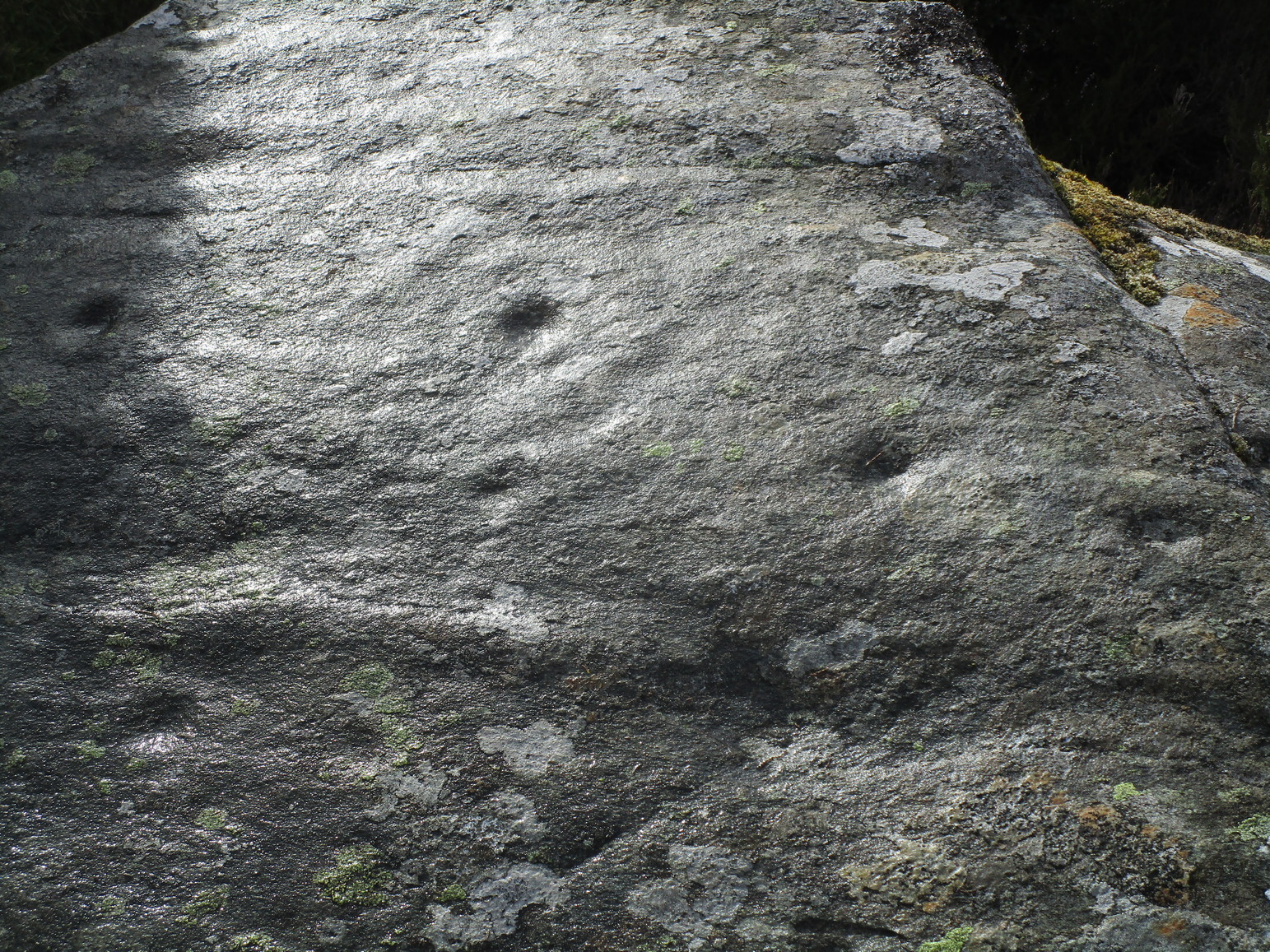
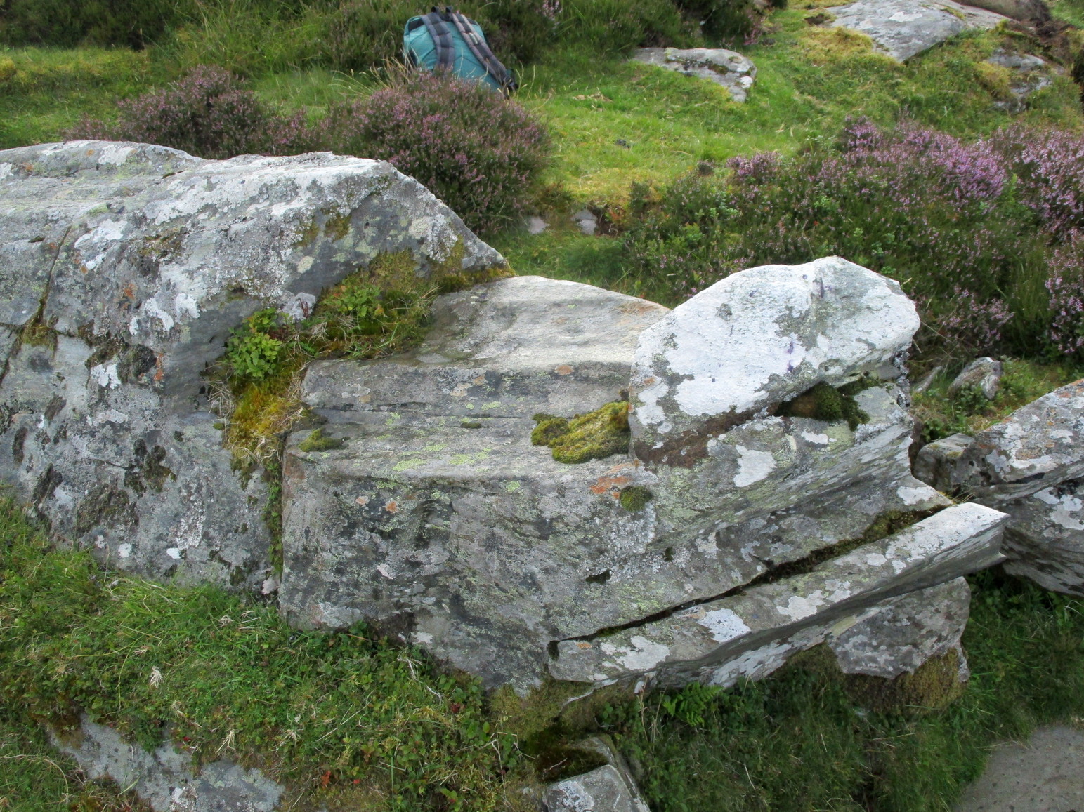
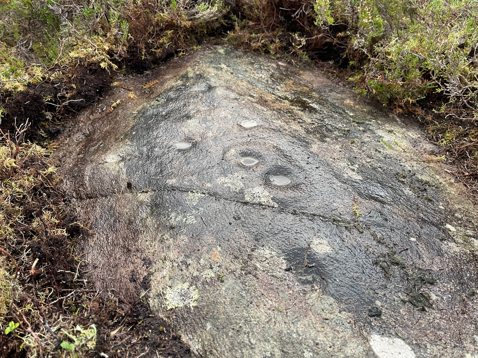
It’s one of several quite separate petroglyphs that almost collide with each other on adjacent rock faces. Etched across this, an elongated slightly convex stone, we find a series of cup-marks in no particular order, mainly running along the topmost section of the stone. Others fall away at the edges, with what seemed like one or two at the more northeastern end of the stone. However, due to the poor lighting when I came here, I struggled to make out the full design and so probably missed some important elements. I’ll update this if/when I visit it again – or if a fellow antiquarian visits the spot and sends in some good images.

© Paul Bennett, The Northern Antiquarian