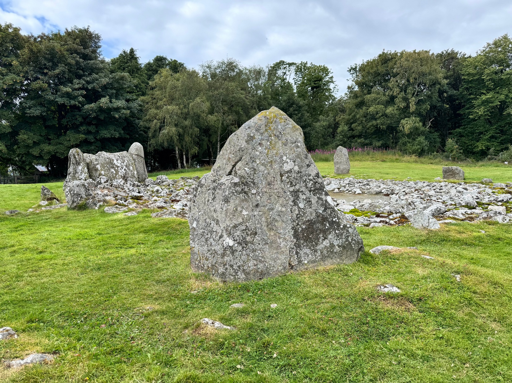
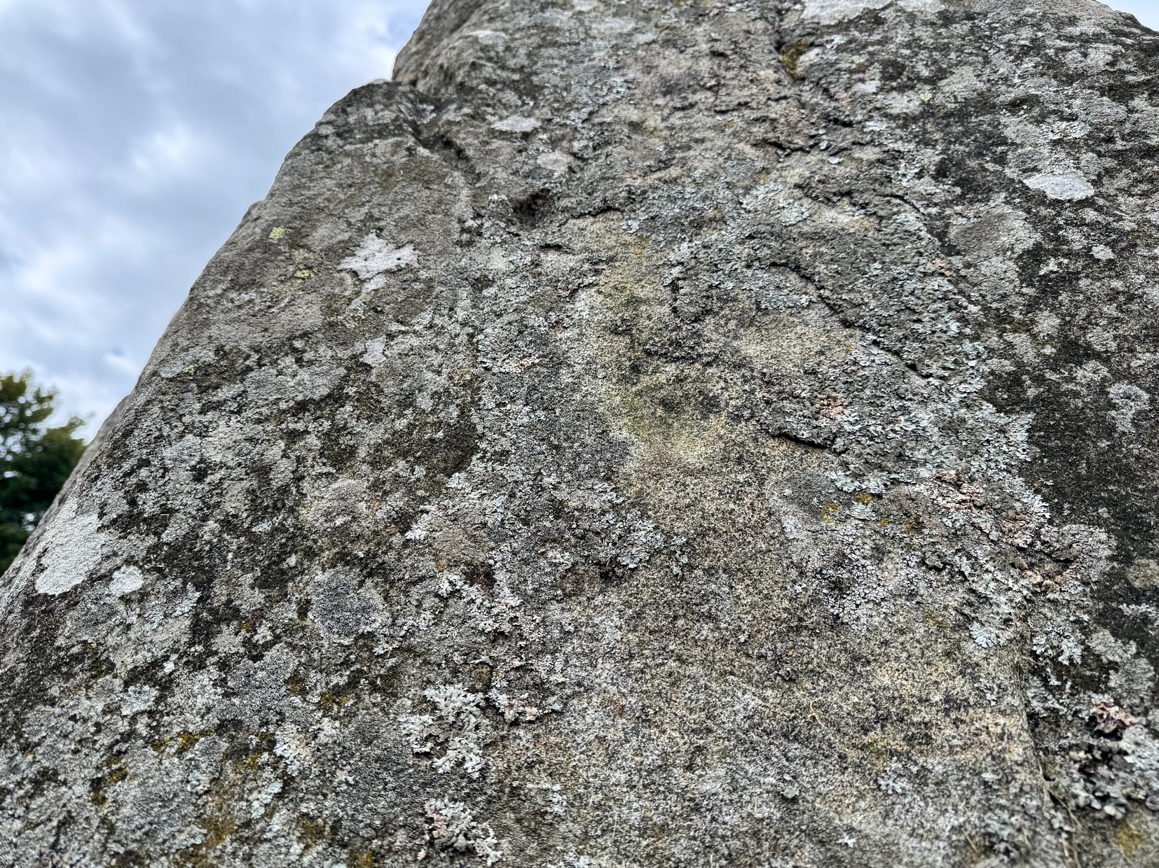
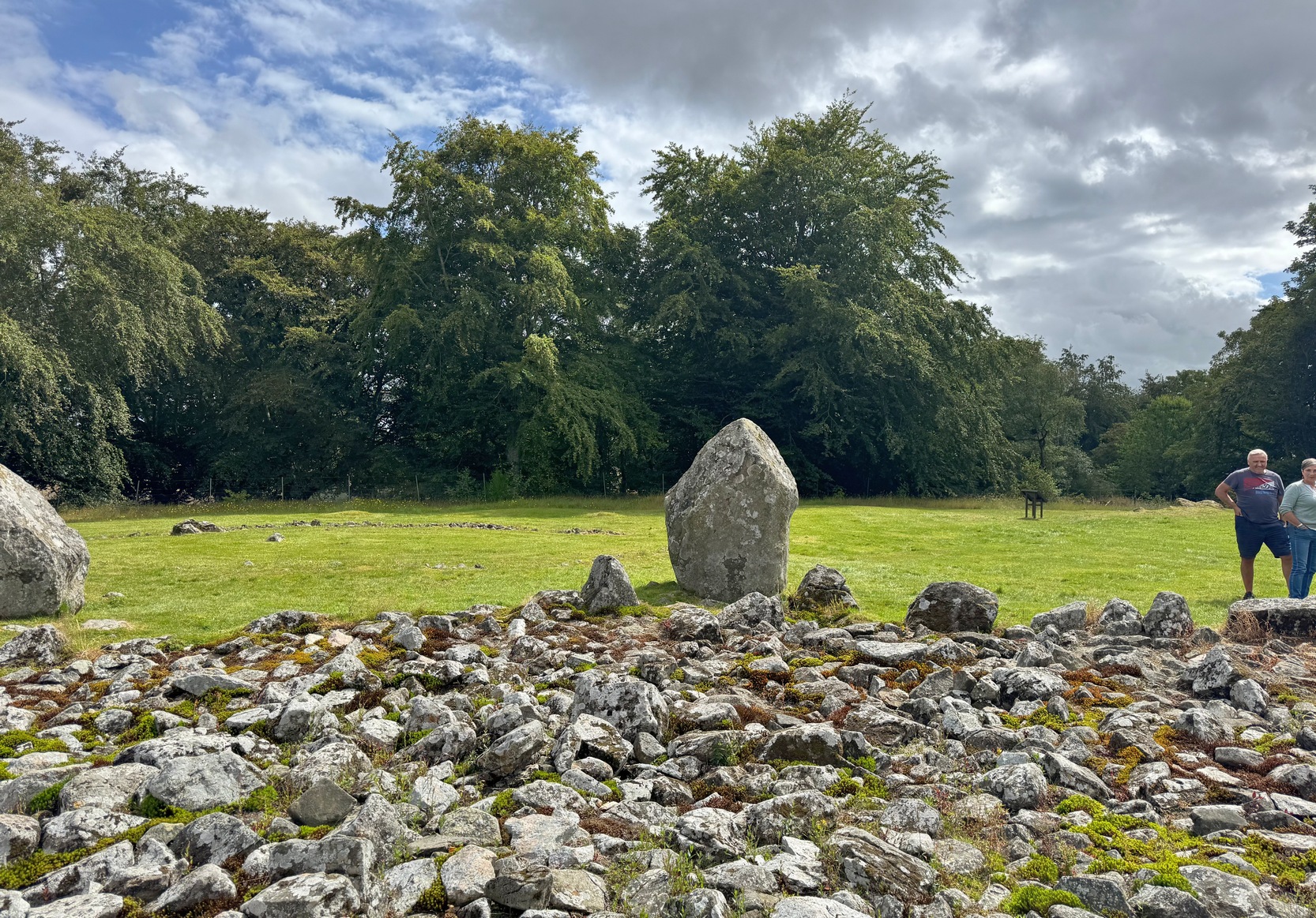
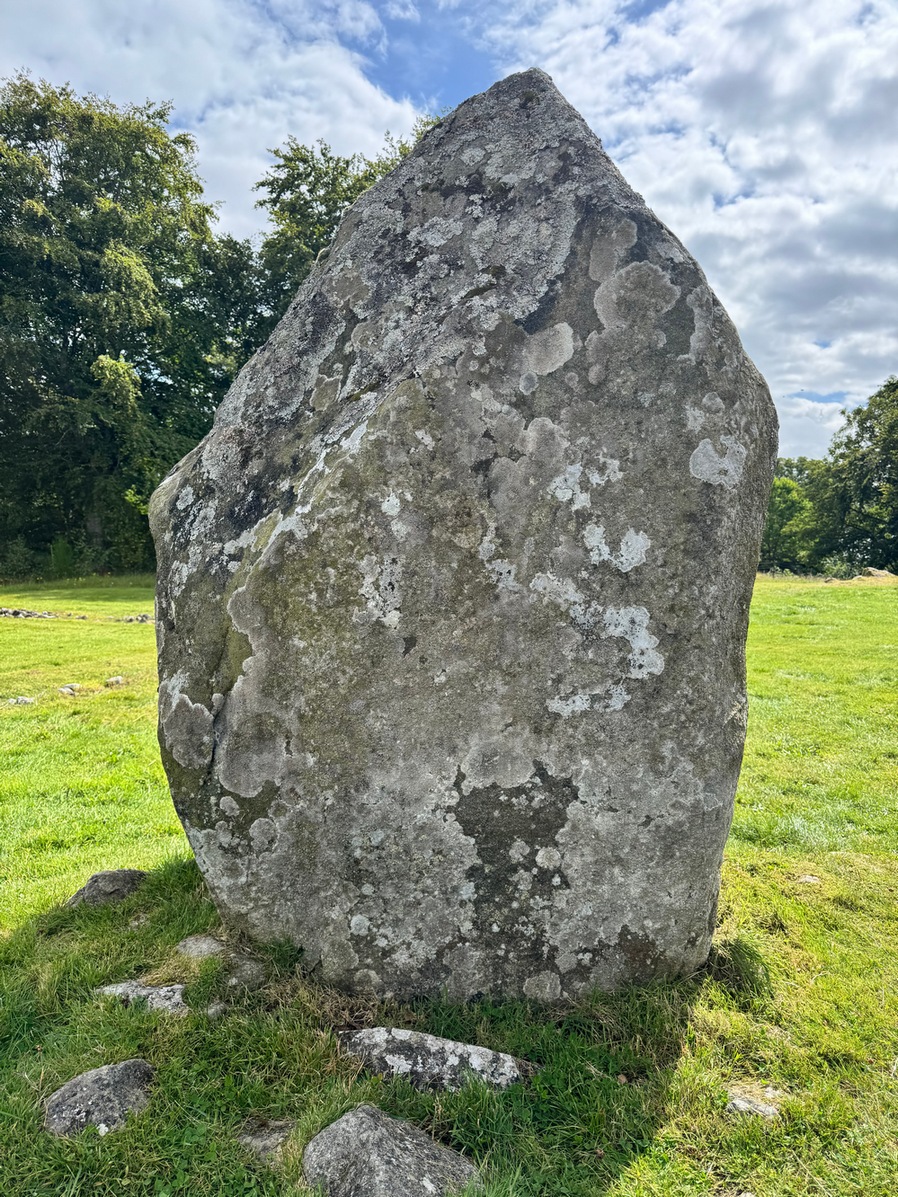
In Adam Welfare’s (2011) second volume to his grand megalithic inventory, he described there being, next to the cup-marked Loanhead of Daviot (1) stone, another, that “has two on its outer face”— i.e., the east-facing vertical surface of the standing stone. It looked as if there were three cup-marks when we visited here recently, but I may be wrong. The main one, visible in the attached photo, is about two-inches across and a half-inch deep; another is above this and the other one is below it (you can just about see them in the attached photo). The design is in no way impressive.
Cup-mark to centre
Aubrey Burl (1979) suggested that the cup-marks on the neighbouring Loanhead of Daviot (1) stone were symbolic of the Moon, whose movement across the sky was recorded in the architecture of the circle itself. When he wrote such words, this secondary cup-marked stone hadn’t been noticed and, as it faces the opposite directly looking eastwards, it makes you wonder what he might have thought this design represented. (Welfare [2011] also reported that on the standing stone flanking the east-side of the recumbent stone, there is “a single cupmark a little above the ground surface on its inner face”.)
References:
Burl, Aubrey, Rings of Stone, Frances Lincoln: London 1979.
Welfare, Adam, Great Crowns of Stone – 2 volumes, RCHAMS: Edinburgh 2011.
Acknowledgements: Massive appreciation to Michelle and Steve Allan of Montrose for taking us to this site. Huge thanks to you both.
As you walk through the gate towards the stone circle, veer to the long fallen recumbent stone and, past the large upright that flanks the recumbent on the right-hand side, walk to the next standing stone along from here. That’s the one you need to be looking at!
Archaeology & History
This is one of at least two petroglyphs within the Loanhead of Daviot circle. Difficult to see unless the light is good (oh how often that’s the case!), on our visit here—under the fine guidance of Michelle and Steve Allan—the cups were hard to see clearly, and they proved troublesome getting good photos of them (we’d forgot our standard water-enhancing bottles this day too!). But we could just about make them out, as our fingers fondled their depressions.
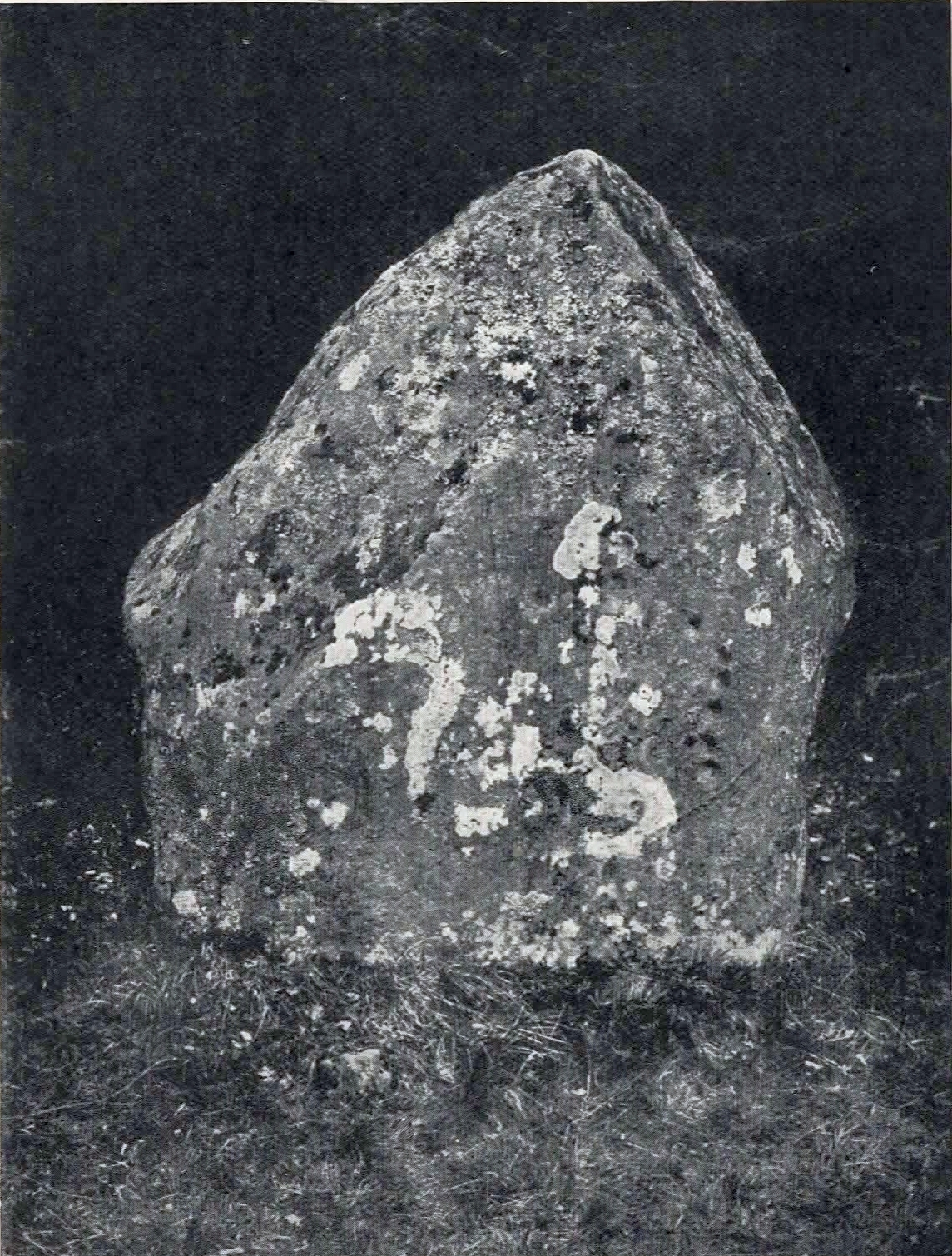
It seems that the carvings were first noticed (please correct me if I’m wrong) by the Aberdeenshire antiquarian James Ritchie (1918) who, in a lengthy essay on rock art and megalithic rings, described seeing “twelve plain cups” on the standing stone in question. They are situated on the north-facing side of the stone, or, as Ritchie wrote,
The carved stoneRitchie’s early photo
“on the inner face of the stone, which points towards the centre of the circle…. Near the western edge of the stone five cups are placed, one above another, in an almost perpendicular line. Each of the three lower members of this group is 2 inches in diameter and ½ inch in depth, while the two upper members are ½ inch less in diameter and only ¼ inch deep. A little to the left, near the upper end of the group, there is a single cup, 1 inch in diameter and ¼ inch in depth. Near the centre of the stone there is another group of cups very similar in appearance to that already described. It also consists of five cups in an almost perpendicular line, with a sixth, a little to the left, nearly in the middle of the stone. All the cups in this second group are about 1 inch in diameter and very shallow.”
The second group of cup-marks that Ritchie described were the most difficult to see on our visit here, due to the bright daylight. Under the Moon, or early sunrise when the stone is wet, they should stand out nice n’ easy. Thankfully, most of them are visible in Mr Ritchie’s old photo of the stone (above), taken in 1917.
An interesting idea was posited by Mr Browne (1921) in his classic on the Aberdeenshire sites, where he thought that the cup-marks here are marks that denoted “the registers of the magician in charge” of rituals at the Loanhead circle. More recently, the great megalithic archaeologist Aubrey Burl (1979) suggested that the cup-marks on this stone were representative of the cyclical movement of the Moon, as observed from this stone circle.
The second cup-marked stone at this stone circle is on the next stone along, going anticlockwise (east): on ‘Stone 5’ (as designated in the Royal Commission survey).
References:
Beckensall, Stan, British Prehistoric Rock Art, Tempus: Stroud 1999.
Beckensall, Stan, Circles in Stone: A British Prehistoric Mystery, Tempus: Stroud 2006.
Browne, G.F., On Some Antiquities in the Neighbourhood of Dunecht House, Aberdeenshire, Cambridge University Press 1921.
Burl, Aubrey, Rings of Stone, Frances Lincoln: London 1979.
Cup-Marked Stone (missing): OS Grid Reference – NJ 747 289
Archaeology & History
When James Ritchie’s (1918) wrote his lengthy essay on the cup-and-ring designs on the megaliths of Aberdeenshire, he mentioned one of the two known carvings that are in Loanhead of Daviot stone circle, but also mentioned one “in the wood, a short distance to the northwest of the circle.” It’s not been seen since he wrote about it. Ritchie described there being several rocks in the trees and, “on the upper surface of one of these, two plain cups are to be seen.” He told them to be “similar in size and appearance to those on the standing-stone” in the Loanhead stone circle a short distance below, but he thought there was no connection between the two sites. The carving is likely to be still there, beneath the undergrowth. It would be worthwhile seeking it out during the Winter and Spring months, before the vegetation returns.
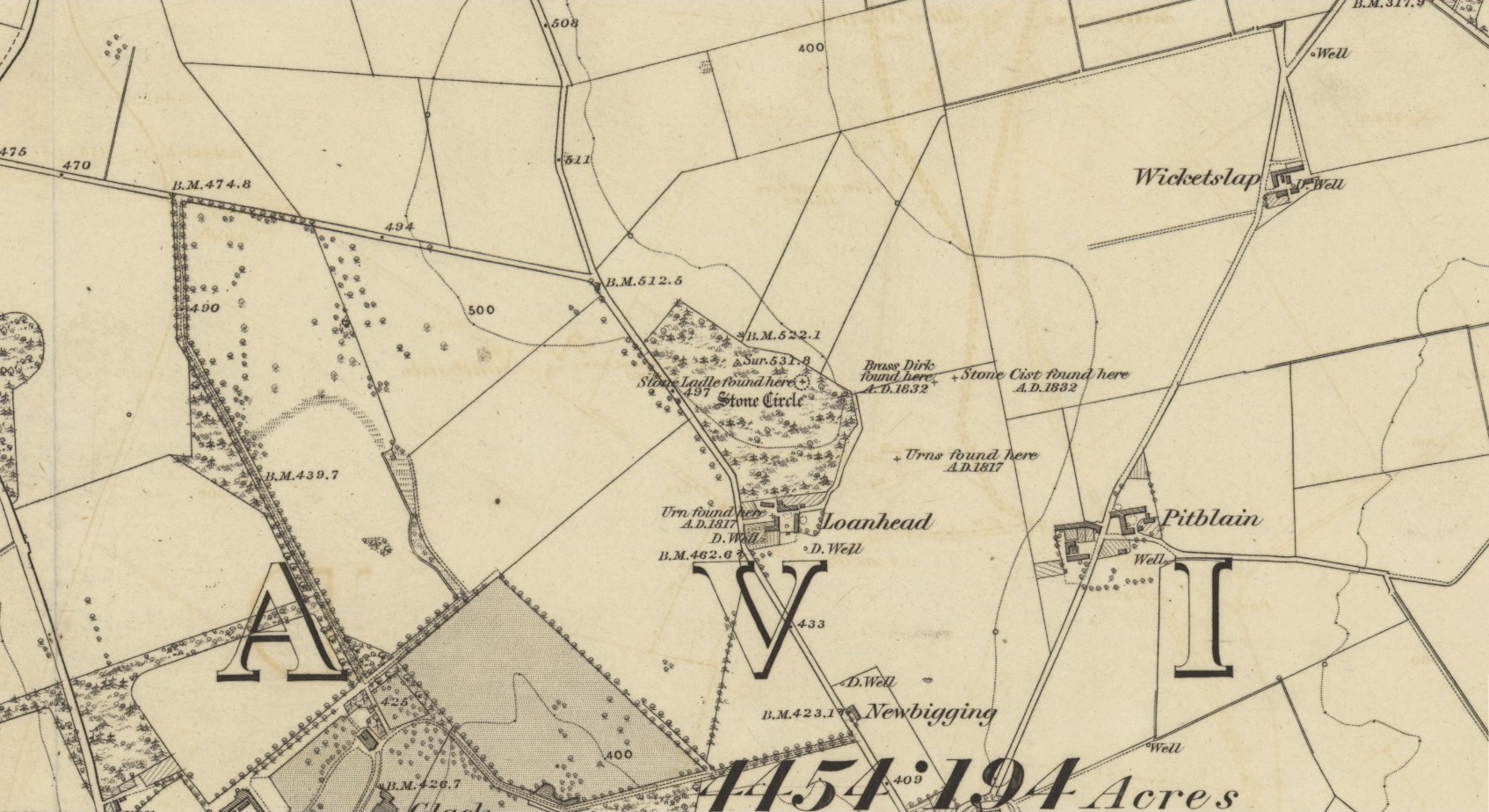
Acknowledgements: Huge thanks for use of the Ordnance Survey map in this site profile, reproduced with the kind permission of the National Library of Scotland.
Legendary Rock (destroyed): OS Grid Reference – NJ 89397 49502
Also Known as:
Crawey Stone
Crawford Putting Stone
Crawstane
Devils Putting Stone
Archaeology & History
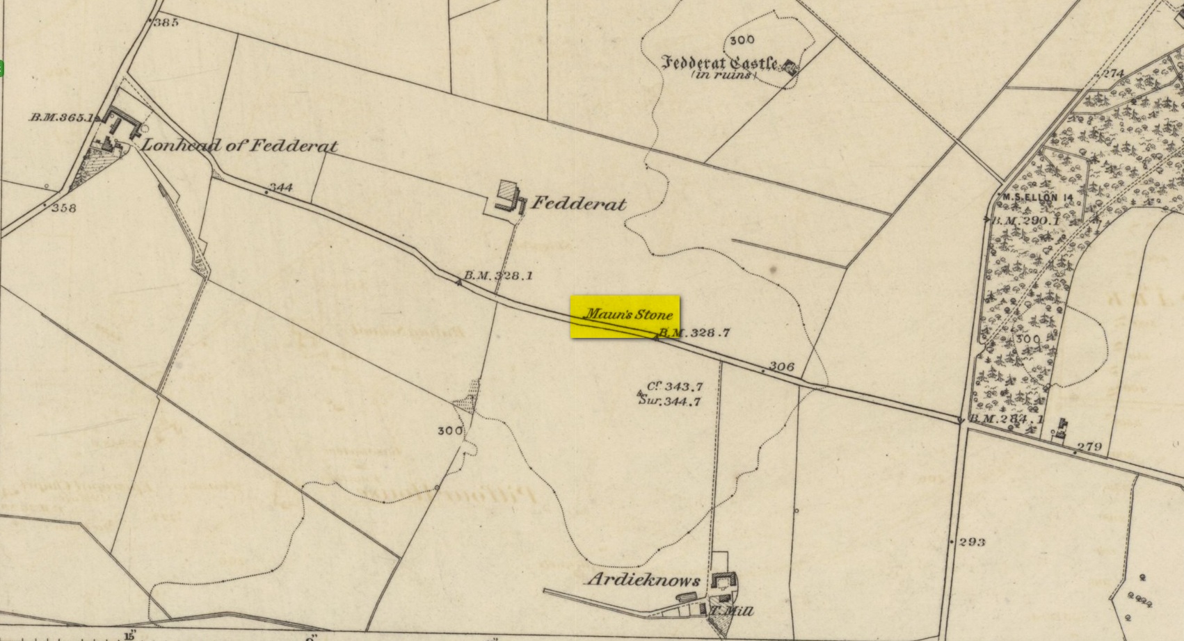
Stone shown on 1874 map
A site whose main claim to fame is its legendary nature. Seemingly buried or destroyed around the end of the 19th century, there have been suspicions that the stone might have had cup-marks on it (see Folklore below), but we’re not sure. Modern lore tells that when roadworks were done here in the 1950, a large stone was uncovered. A local man who was passing by told that he’d seen the Crawey Stone in his youth and that the stone they’d uncovered was one and the same.
Folklore
The story that used to be told amongst local people was thankfully preserved in an article by the pseudonymous “Mormond” (1889) in Scottish Notes & Queries. He told that:
“In the parish of New Deer, and in a field near the Old Castle of Fedderat, there is a large boulder of ten or twelve tons known as the Crawey Stone. I am unable to say if it still occupies its old site, or if it has been broken up for building purposes. The legend connected with this stone used to be well known in the parish, and a version of it appeared in The Aberdeen Magazine some 70 or 80 years ago. This version is substantially the same as the legend known in the district, and relates how a Crawford, the lord of the castle and lands, one day “as he looked o’er his castle wa’ ” — a phrase which often occurs in old ballads — observed a crunkled carl (old woman or witch, PB) inspecting the stone and afterwards successfully lifting up one end clear of the ground. Not to be conquered by such a shabby looking stranger, the laird, who was famed for his athletic powers, went out and challenged the carl; but on attempting to lift the boulder, burst a blood vessel; and the carl, who stood by watching him, suddenly disappeared in a flash of fire taking the remains of the laird along with her. The tradition is that the laird was not mourned for in the district, and the moral drawn was “He couldna hae expected ony ither en’.” When passing the boulder going to school, the legend was often referred to, and some indentations on it pointed out as the marks of the ill man’s fingers made at the time the superhuman feat was accomplished.”
These finger marks have been taken as possible cup-markings. They might have been, but we simply don’t know; they may just have been curious natural markings that gave rise to this animistic creation myth. Another tale told that the markings were due to an old giant in the neighbourhood who used the rock as a putting stone and rolled it to the spot where it used to stand. Giants are always attached to indigenous creation myths, some of which go back thousands of years.
“a large Stone of a roundish shape, built on an old fence, forming a side of the Public road leading from New Deer to Brocklay. Tradition asserts that it has been the putting Stone of a Giant in ancient times. There are Several holes in the Stone said to be the finger marks of the Giant.”
Described by the early 20th century antiquarian and megalithomaniac Fred Coles (1903) as being situated “about 1¼ mile SE from the church at Ythan Wells,” all trace of this stone circle has long gone, and had already disappeared when Coles was surveying the region, telling merely that it had been here “in open fields.” All subsequent explorations looking for remains of the site has proven fruitless.
References:
Barnatt, John, Stone Circles of Britain – volume 2, British Archaeological Report: Oxford 1989.
The old Scottish folklorist, A.A. MacGregor, described this legendary rock, “by the Bridge of Luib, on the River Don,” in his classic Peat Fire Flame. (1937) One of the numerous ‘holed stones,’ it was one of countless rocks in our isles imbued with animistic spirit essence, akin to similar rocks found in all of the other cultures in the world. MacGregor told how,
“It happened that a man summoned to the death-bed of a relative came to this crossing-place just after torrential floods had carried away the bridge. When he was on the point of abandoning all hope of reaching the opposite bank, a tall man appeared from nowhere and volunteered to carry him across. The distracted homecomer accepted the assistance proffered. But, when he and his carrier reached mid-river, the latter reverted to the form of the river kelpie and endeavoured to drag him down to the river’s bed. The victim managed to escape. As he scrambled to the bank, the infuriated kelpie hurled after him the huge boulder that to this day goes by the name of the Kelpie’s Stane.”
But the stone was also known to possess healing and magickal properties, as evidenced from MacPherson’s (1929) chronicle, which told:
“Somewhere near Dinnet was the Kelpie Stone. Childless women passed through its 18 inch (46cm) hole to concieve. A noble lady performed the task to no avail; only when she repeated it in the same direction as the river flow did the charm work.”
Close by are several other intriguing place-names which may at some time have had some archaeo-mythic relevance to this legendary rock. On the hill above is the old Carn Lian; the water course nearby is the Allt na Ciste; but most intriguingly we find the Bog of the Old Woman, or the Moine Cailleach a half-mile to the east.
References:
MacGregor, Alisdair Alpin, The Peat-Fire Flame, Ettrick Press: Edinburgh 1937.
McPherson, Joseph M., Primitive Beliefs in the North-East of Scotland, Longmans, Green & Co: London 1929.
In a short article, ‘Dolmens in Scotland’, written by Dr H.O. Forbes in the esteemed Antiquity journal of June 1929, Dr Forbes reported the former existence of a dolmen-like monument that stood,
“some 70 years ago…at the north or northwestern extremity of Battle Hill which looks down on the town of Huntly on the River Bogie in Aberdeenshire. In walking from Drumblade to the town, about 3 miles off, one usually took a short cut over Battle Hill. This bypath diverged from the turnpike road leading north to Banff and led to the top of Battle Hil (400ft), close past the edge of the wood, a few yards within which stood this monument. It was a typical dolmen, of which I retain a perfectly clear recollection, with its large granite capstone supported by three massive, rudely shaped pillars. On the aspect towards the bypath, there were some blocks of stone on the ground which may have constituted a fourth pillar or the ruins of a dromos, otherwise the dolmen was in excellent preservation. It stood about 6 to 7 feet high above the ground level, for I remember it took some climbing for me as a small boy to get on top.”
Folklore
Dr Forbes also described several legends attached to this long forgotten old tomb. He told “that it was a ruined druid’s altar; that the stones were dropped down through a hole in the devil’s apron when on his way to Knock Hill to deposit the cloven-stone there (a large glacial erratic); and that it is the tomb of a great warrior.” A story that we find at a number of prehistoric tombs in both Britain and abroad. At some nearby tumuli, legend told that they stood on the site of a great battle.
References:
Forbes, H.O., ‘Dolmens in Scotland,’ in Antiquity journal, volume 3, June 1929.
Grinsell, Leslie, Folklore of Prehistoric Sites in Britain, David & Charles: Newton Abbot 1976.