Thief Thorne, Draughton Moor, North Yorkshire

Standing Stone:  OS Grid Reference – SE 0405 5106

Getting Here

Thief Thorne Stone

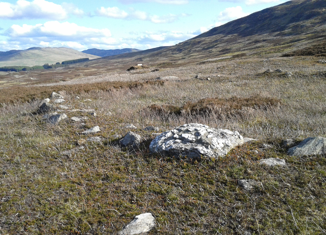
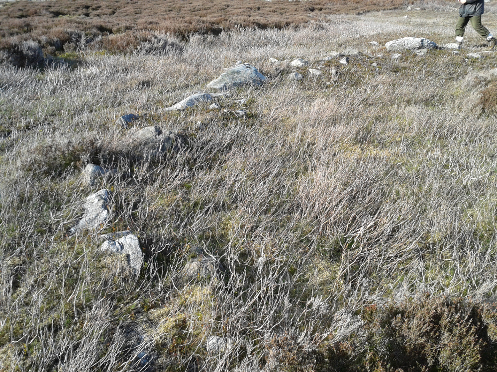
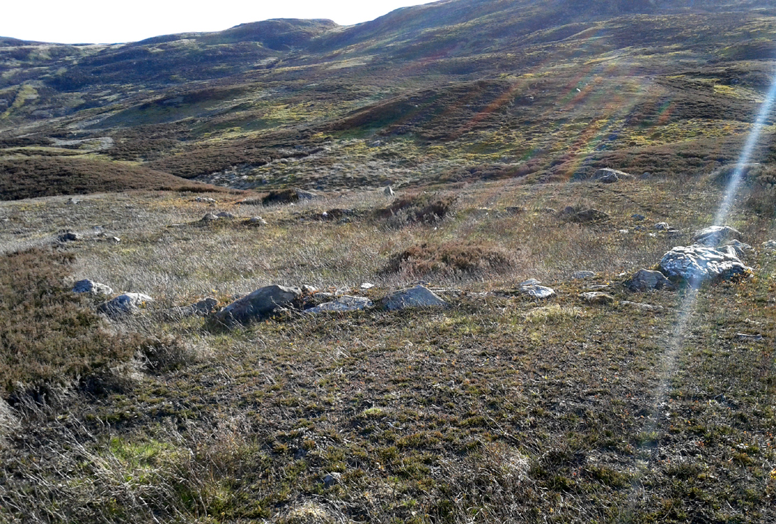
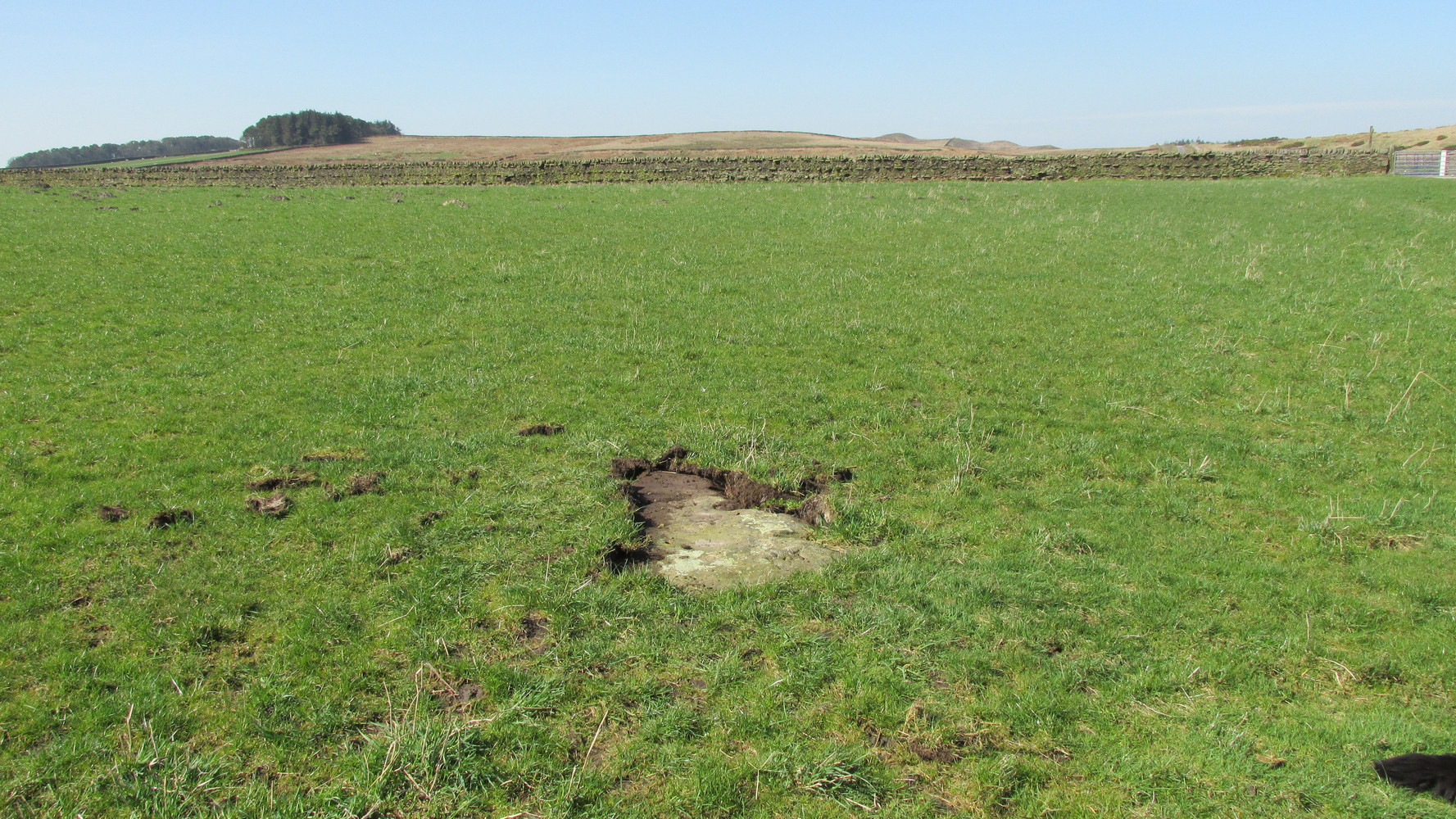
Probably the easiest way here is to take the well-trodden Dales High Way track westwards, under the bypass from Addingham, and along the old Roman Road. After 1.7 miles (2.7km) you’ll reach the Heights Lane country road.  Stop here!  Walk back on yourself along the track for maybe 50 yards and look in the field to your right (south) between 10-20 yards in the short grass and there, somewhere under your feet next to a modern stone, you’ll see peeking up at you (probably somewhat covered on the whole by the soil) a long flat stone.  That’s what you’re looking for.

Archaeology & History

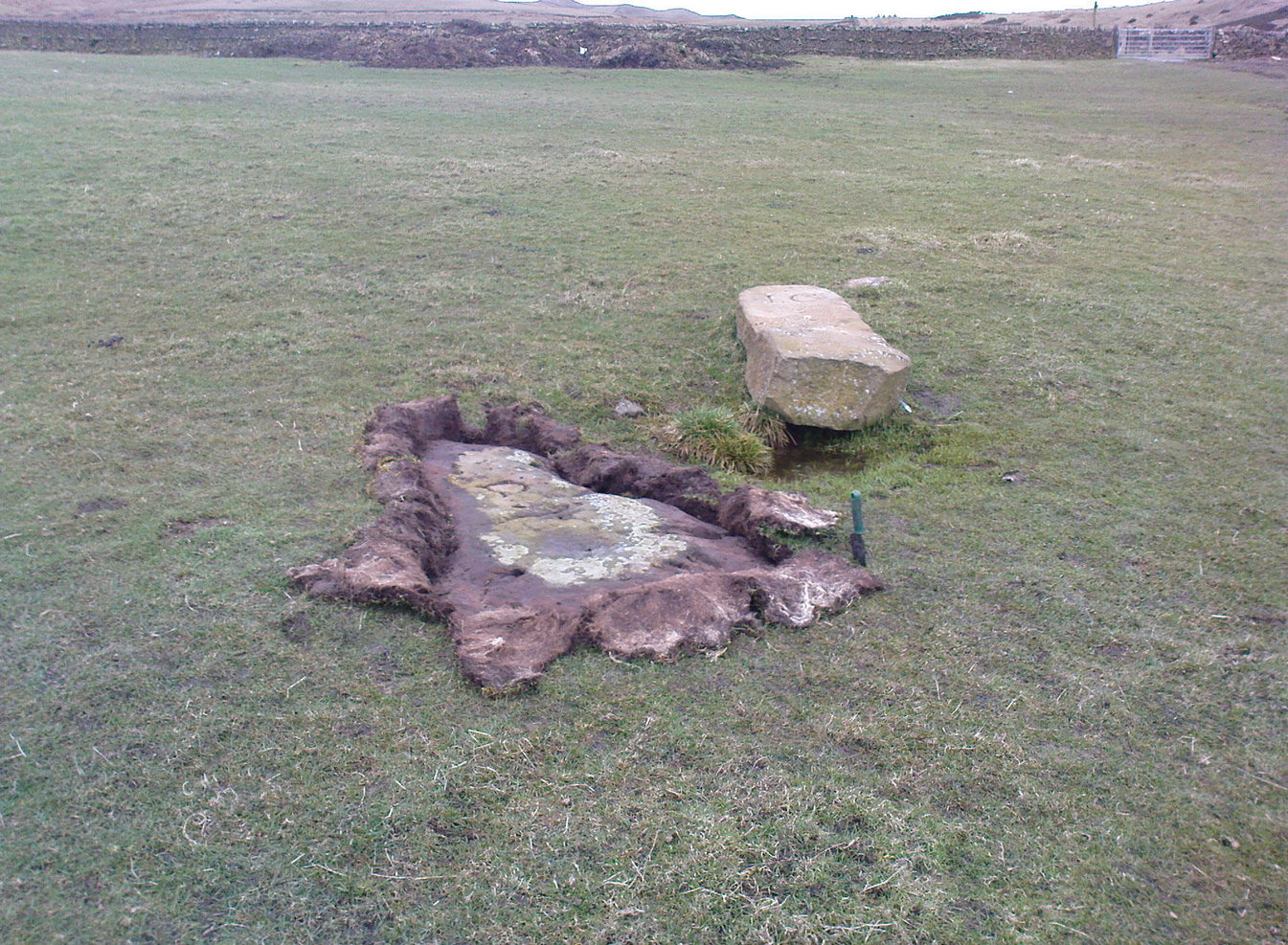
This old stone had been sought after by various groups and people for many years and I was fortunate to relocate it about thirty years ago, laid down and all-but-hidden beneath the grasses.  The stone appears to have been buried nearly 100 years earlier, because when Harry Speight (1900) wrote about it in 1900 he described it as still upright.  In more recent years, it seems that the farmer has put  a replacement stone next to its position with the letters “JC” cut  into it.  You can see it in the above photo.

Thief Thorne uncovered
Thief Thorne, looking W

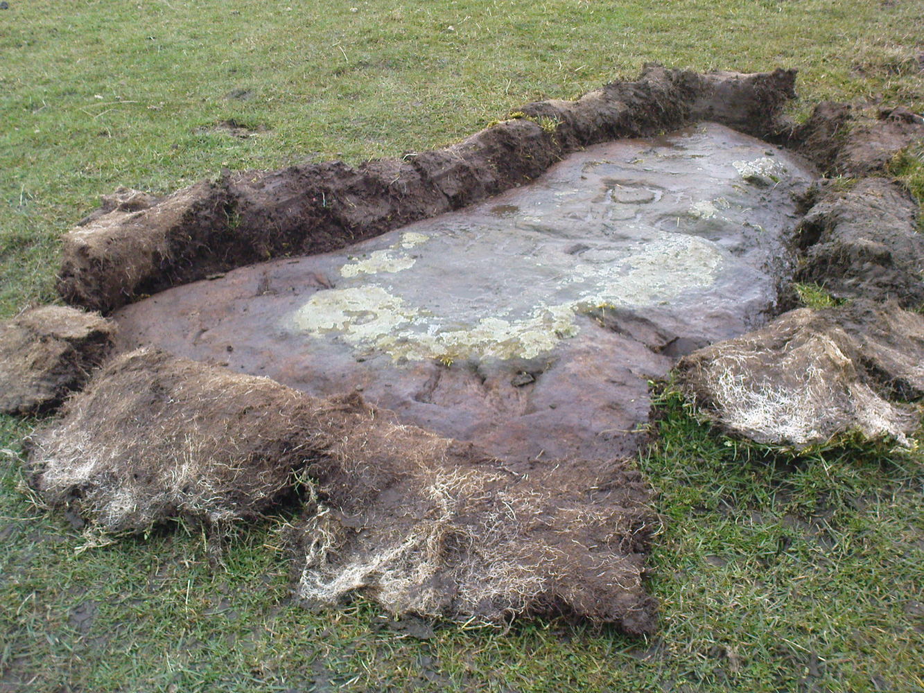
First mentioned in the 16th century and included in boundary perambulation records of 1709, and again in 1781, someone during that period turned it into a milestone, etching the words “To Skipton 3 m. To Addingham 2 m.”  It stood by the old Roman road, but its considerable erosion and shape is decidedly prehistoric.  Nearly 6 feet long, it is now laid in the earth and almost completely covered over.  A sure case for resurrection.

References:

  1. Bennett, Paul, The Old Stones of Elmet, Capall Bann: Milverton 2001.
  2. Speight, Harry, Upper Wharfedale, Elliott Stock: London 1900.

© Paul BennettThe Northern Antiquarian

St Faith’s Well, Leven, East Yorkshire

Holy Well (destroyed):  OS Grid Reference – TA 09126 45628

Also Known as: 

  1. Humber Historic Environment Record HER 3714

Archaeology & History

The site of the well is on the Carrs to the west of Leven village, immediately north of the old cemetery adjoining Hall Garth house.  Reverend William Smith, writing in 1923, told us:

St Faiths Well on 1855 map

“St Faith’s Well lay on the left of the road known as St Faith’s Lane, which leads to the old churchyard to which the spring was near.  St Faith belonged to France, and when quite a young maiden, was martyred because of her christianity.  She lived and died in the third century….

“St Faith’s Well was filled in about a hundred years ago and the site lost.  This, however, has lately been approximately fixed by the aid of water divining.  A Leven man, who can wield the hazel wand, went over the ground near to which the well was thought to have been, and the wand indicated a spot under which, on digging to the depth of about three feet, “the water fairly bubbled up”, and it was judged this was the place where the well lay.  St Faith’s Well is said to have given water both pure and abundant, and to have been in the old days the only supply of drinking water to the people of the Carrs.”

St Faith’s Saint’s day is the 6th October and she was a saint whose patronage was invoked by pilgrims, prisoners and soldiers.  From this, is it perhaps reasonable to infer that St Faith’s Well may have been a station for pilgrims to the local shrines of St John of Beverley and St Philip Ingleberd at Keyingham?  Also a stopping point for fugitives seeking sanctuary at Beverley?

There was another holy well dedicated to St Faith at Hexton in north Hertfordshire.

References:

  1. Cox, J.Charles, The Sanctuaries & Sanctuary Seekers of Mediæval England, George Allen: London 1911.
  2. Farmer, David H., Oxford Dictionary of Saints, Oxford University Press: Oxford 1987.
  3. Smith, Rev. William, Ancient Springs & Streams of the East Riding of Yorkshire, A. Brown: Hull 1923.

© Paul T Hornby 2021

Glen Cochill Circle (01), Little Dunkeld, Perthshire

Hut Circle:  OS Grid Reference – NN 90324 41487

Getting Here

Glen Cochill Circle - No.1

Glen Cochill Circle – No.1

Take the same directions to reach the impressive Carn Ban prehistoric tomb.  From here, walk along the winding track past the giant cairn onto the moors for about 350 yards, until the track goes dead straight and heads NNW uphill.  Walk up here for another 350 yards keeping your eyes peeled on the rounded pyramidal hill with the large rock on top.  The circle is 20 yards off the track as you head up to the pyramidal hill stone.

Archaeology & History

Although this site is mentioned in notes by the Scottish Royal Commission and highlighted by Ordnance Survey, information thereafter is pretty scarce.  Which is surprising when you check this place out first-hand.  It’s bloody impressive!  David Cowley (1997) describes the area, but not in much detail.

Northern arc of walling

Northern arc of walling

Eastern arc of walling

Eastern arc of walling

The circle seems to have been rediscovered first of all by the dowser J. Scott Elliott (1964), who thought it was a cairn circle – which is understandable.  However, it has been classified by the Royal Commission lads as a “hut circle”, so we’ll stick with that for the time being.

An entrance to the circle doesn’t stand out.  There may be one on the southeastern side, but this isn’t clear; and what looked like a possible entrance on its northern edge was discounted, as a larger stone blocked this on the outside.  There was no immediate evidence of any internal structure, no hearth, no tomb – merely a small stone at its centre, deeply embedded in the peat.  This may, however, cover a central cist – which would make this a cairn circle and not a large hut circle.  But that’s guesswork on my behalf!

Arc of ring from east to south
WNW arc of walling

Never excavated, what we’ve got here is a very well-preserved, large ring of stones, more typical of Pennine and Derbyshire ring cairns than any standard hut circles.  But this is Scotland we’re talking about!  This impressive ring measures outer-edge to outer-edge 12 yards in diameter (north-south), by 11 yards (east-west), with the stone walling that defines the ring being between 3 and 4 feet across all round, and between 1-2 feet high.  And it’s in damn good nick!  More similar in structure to the likes of Roms Law, a number of notably large stones define the edges, but many hundreds of smaller packing stones build up the ring walls.  Of the larger rocks in the ring, the most notable one is a large white quartz crystal stone on its NNE side.

Quartz rock reflects the sun, looking W

Quartz rock reflects the sun, looking W

It’s an impressive site whatever it may be! – in very good condition for its age (Bronze Age by the look of it) and, whilst still visible above the heather, well worth checking out if you like your stone circles and prehistoric rings.  The small prehistoric graveyard 30-40 yards south and east, plus the extensive settlement systems all over these moors are all worth exploring if you visit this place.

References:

  1. Cowley, David C., “Archaeological Landscapes in Strathbraan,” in Tayside & Fife Archaeological Journal, volume 3, 1997.
  2. Scott-Elliot, J., “Kinloch House, Amulree,” in Discovery & Excavation in Scotland, 1964.
  3. Scott-Elliot, J., Dowsing – One Man’s Way, Neville Spearman: London 1977.

Links:

  1. Canmore notes on Glen Cochill

Acknowledgements:  Many thanks to Mr Paul Hornby for his help, as usual.  Cheers fella!

© Paul BennettThe Northern Antiquarian