Cup-and-Ring Stone: OS Grid Reference – NN 87937 52593
Also Known as:
- Lurgan
Getting Here
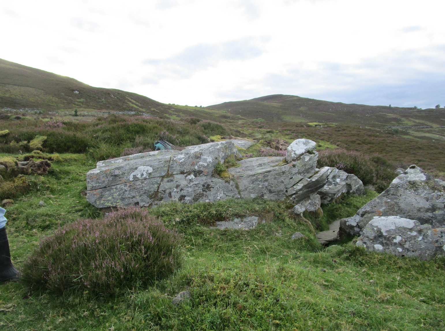
Various ways to get here, but it’s probably easiest if you’re coming via Aberfeldy. From here, go over the river bridge to Castle Menzies and Weem, but turn right once you’ve crossed the bridge and follow the road parallel to the river for just over 3 miles (4.9km) where you’ll reach a tiny road on your left, going uphill. You can park the car 150 yards up, on your right – then walk uphill (don’t drive any further). Walk up the road for just over half-a-mile (0.95km) and take the right turn; go along here for 300 yards where the pond appears and keep walking along the same road for another 250 yards till you reach a cottage by a small crossroads. From here, walk up (left) for another 300 yards where, near the top of the field, a large boulder sits close to the fence. You’ve arrived!.
Archaeology & History
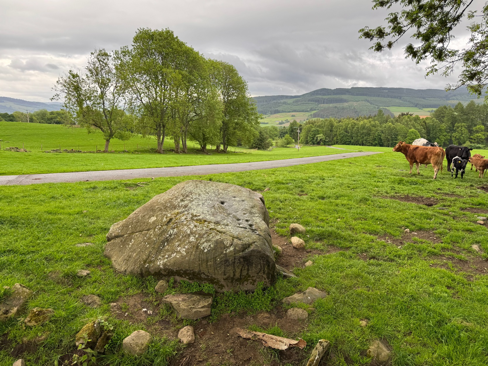
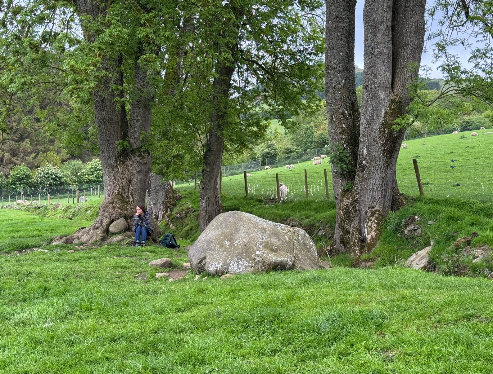
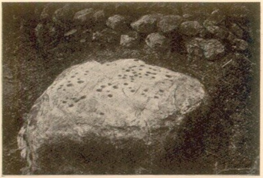
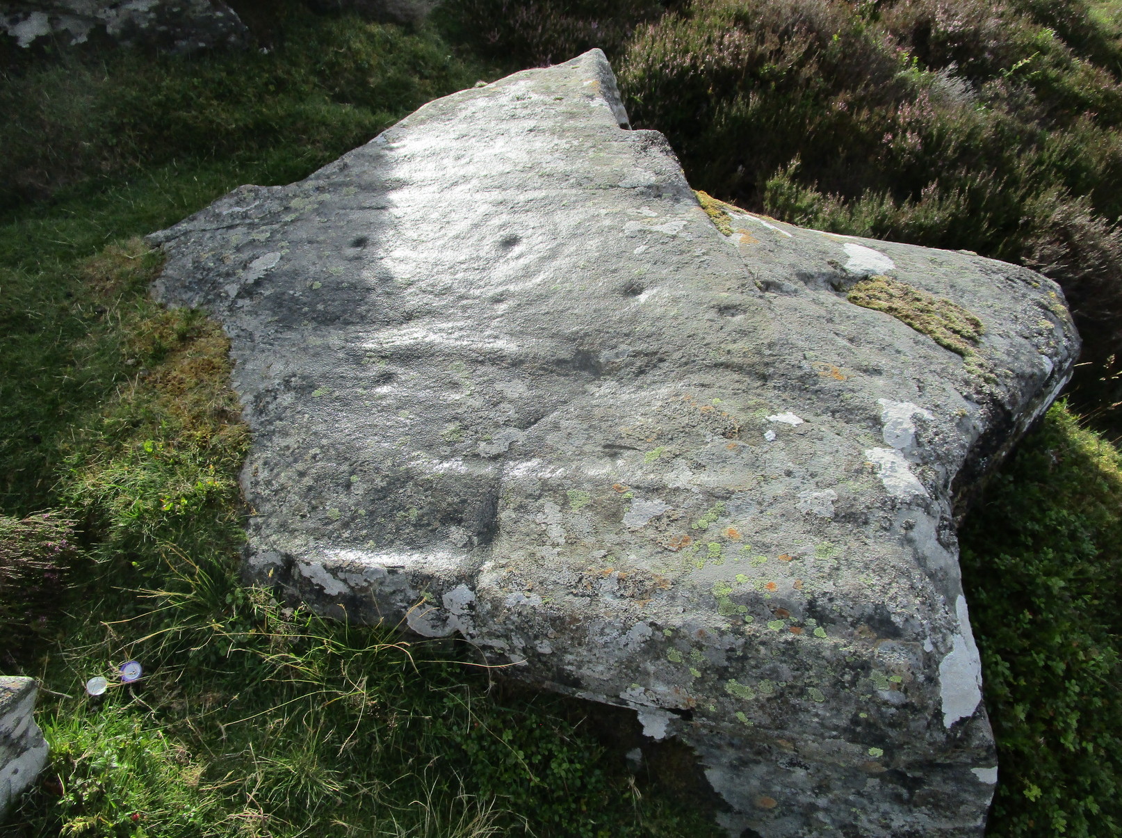
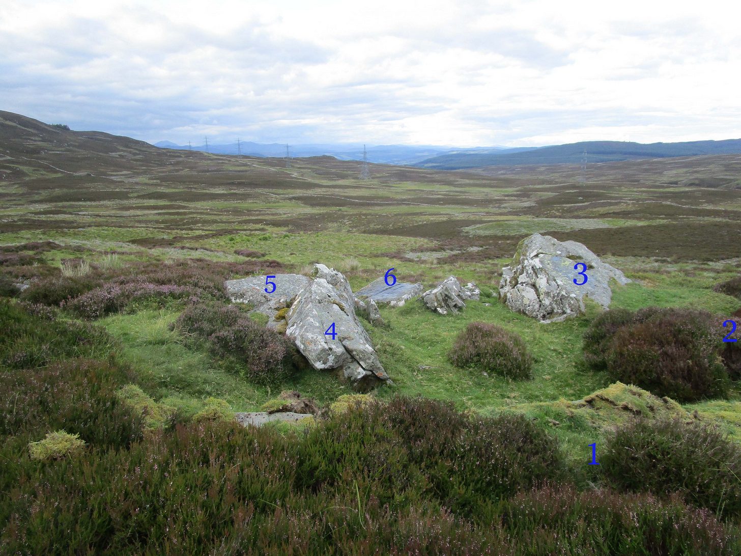
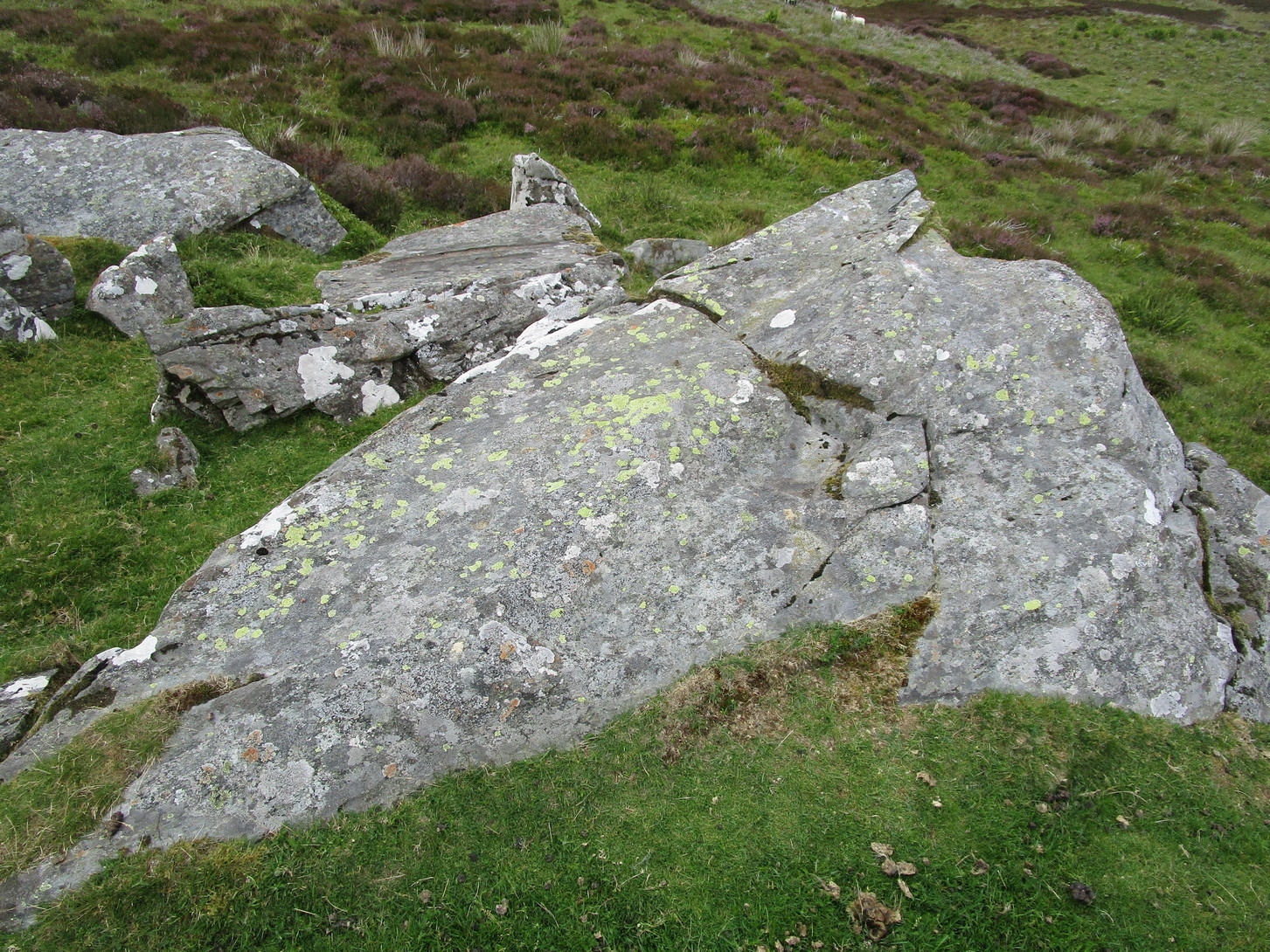
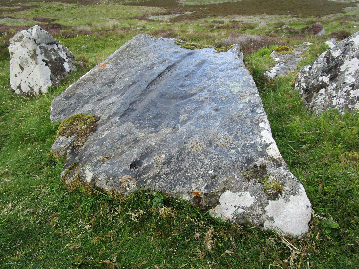
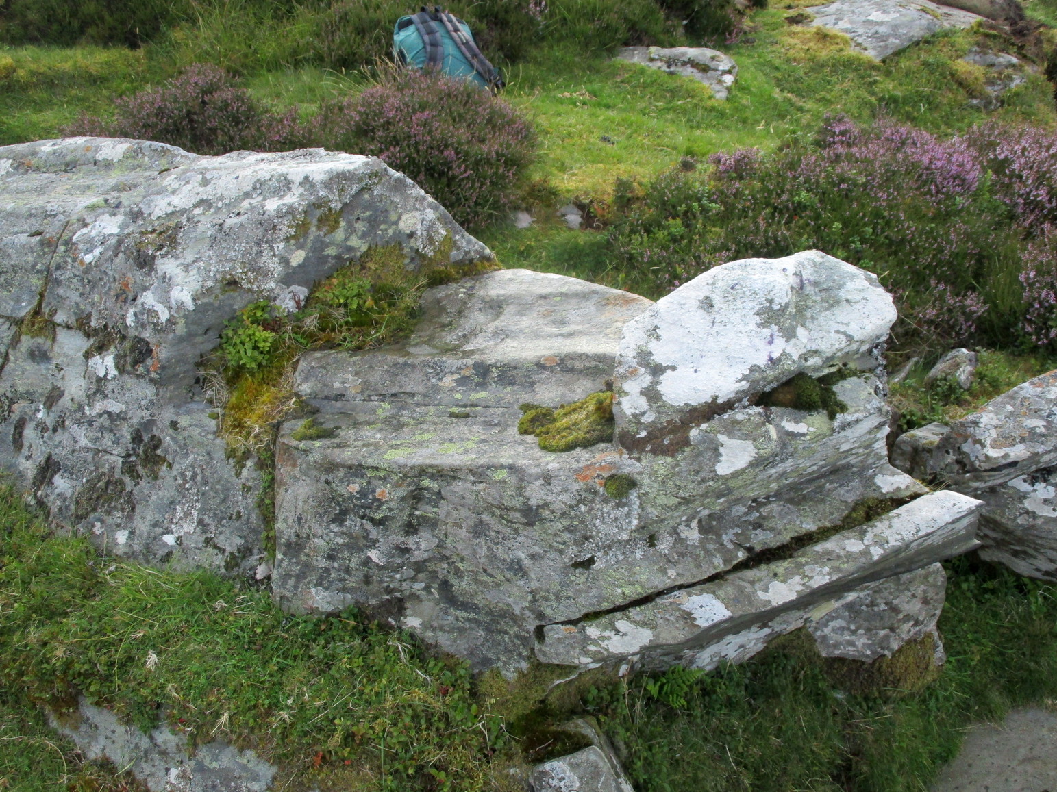
On the way back down from a bimble to the beautiful and haunted Loch Derculich, Naomi and I stumbled upon this large stone just off the track below Lurgan farmhouse and found there to be a number of cup-marks on its sloping upper surface. Naomi was really truly excited! 🙂
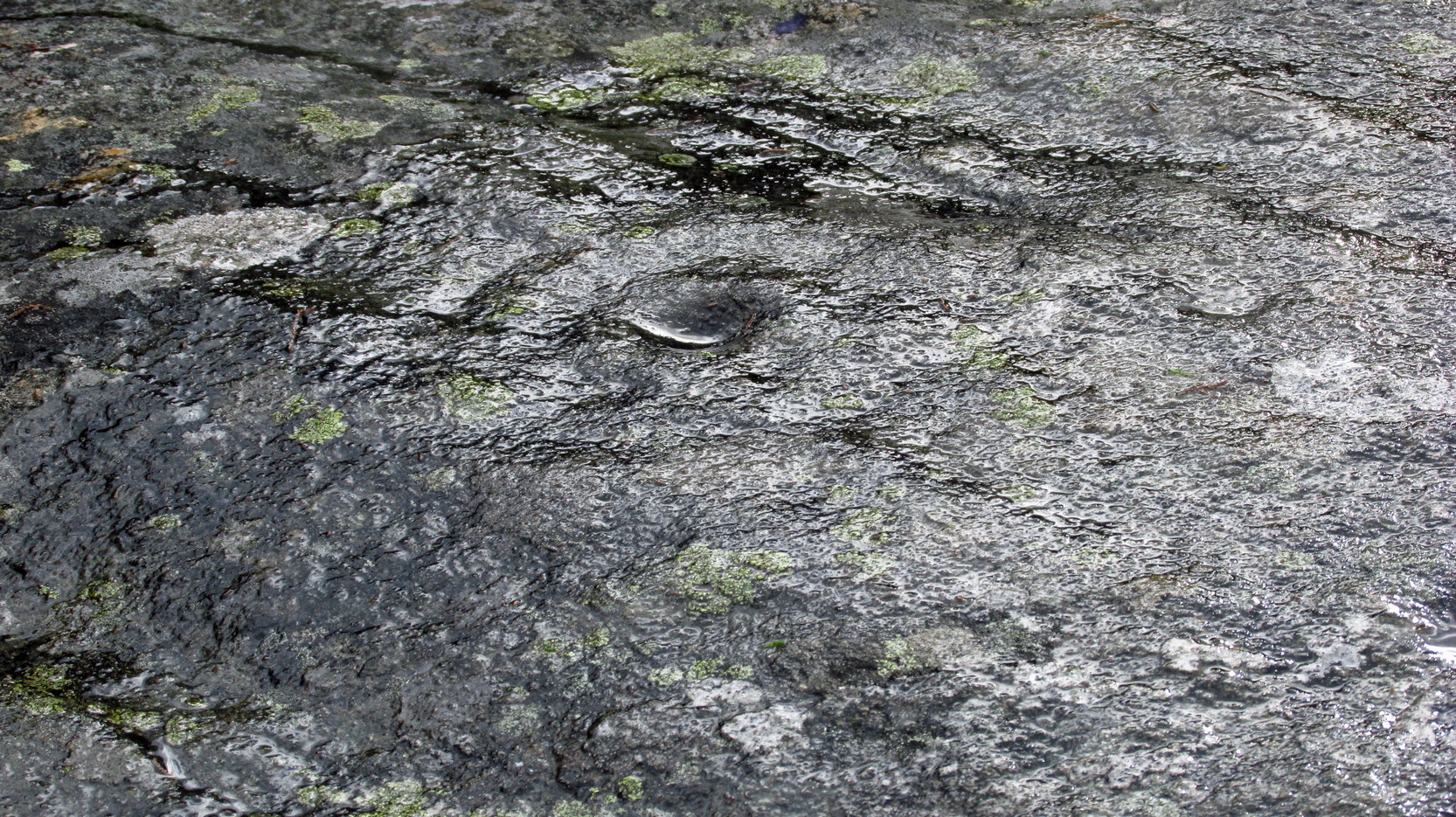
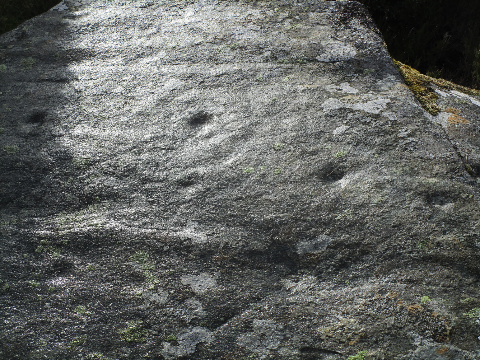
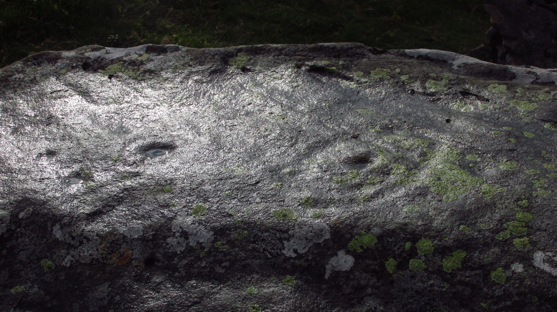
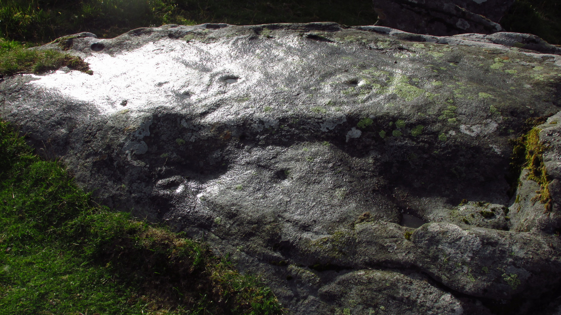
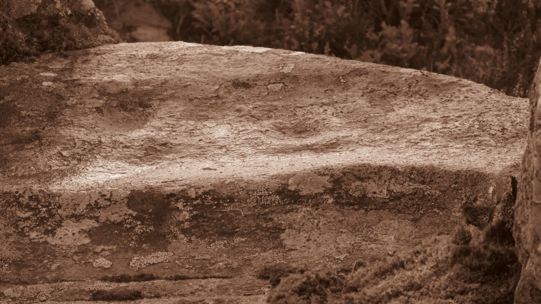
On its northwestern surface there’s is a distinct scattering of cup-marks: one in particular near the middle of the stone that’s been deepened in more recent times, as if it was ready to be blown-up and destroyed but, once realised it was a stone of the fairy folk, the operation was terminated and the stone left here to live! Thankfully…
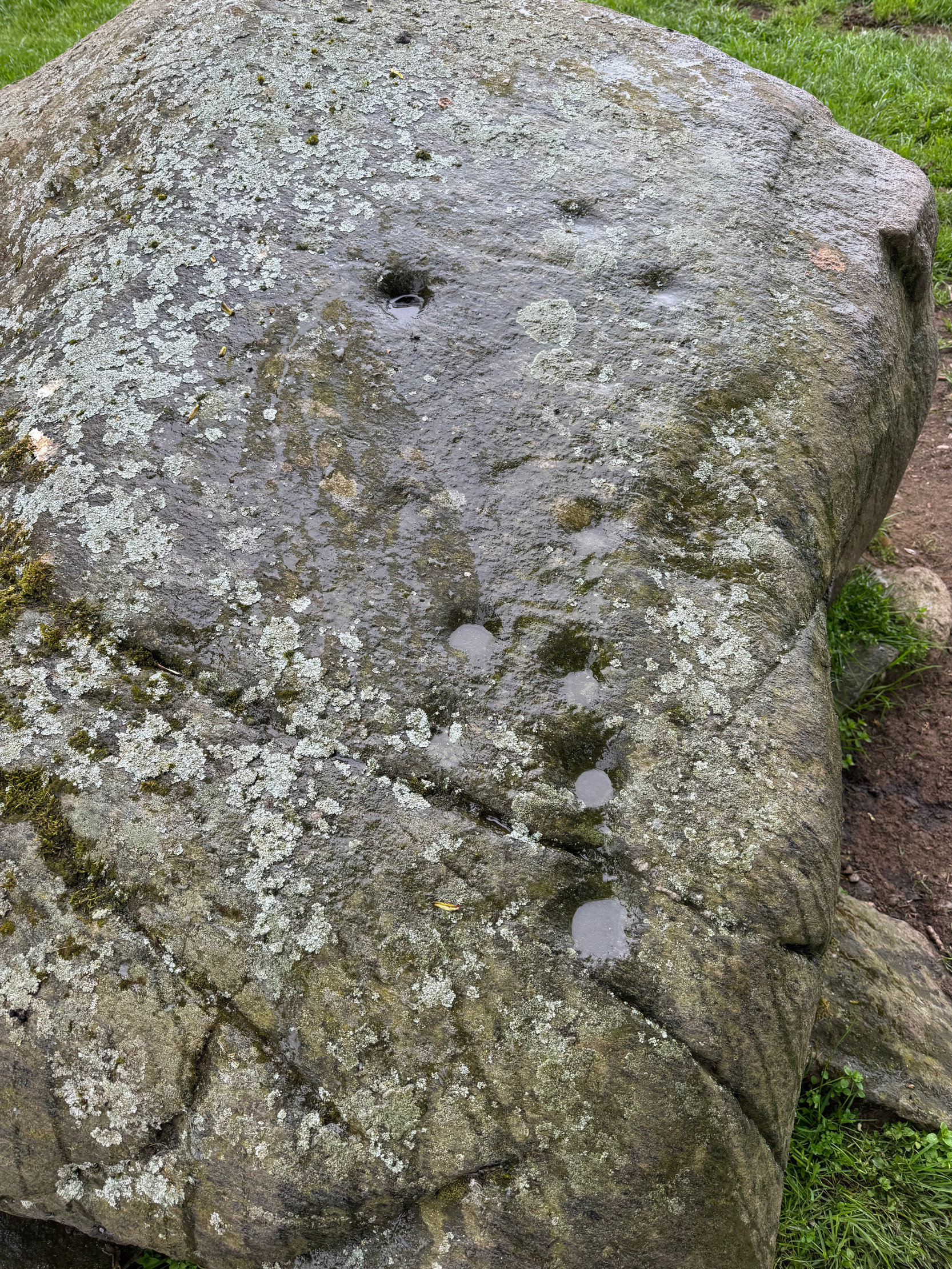
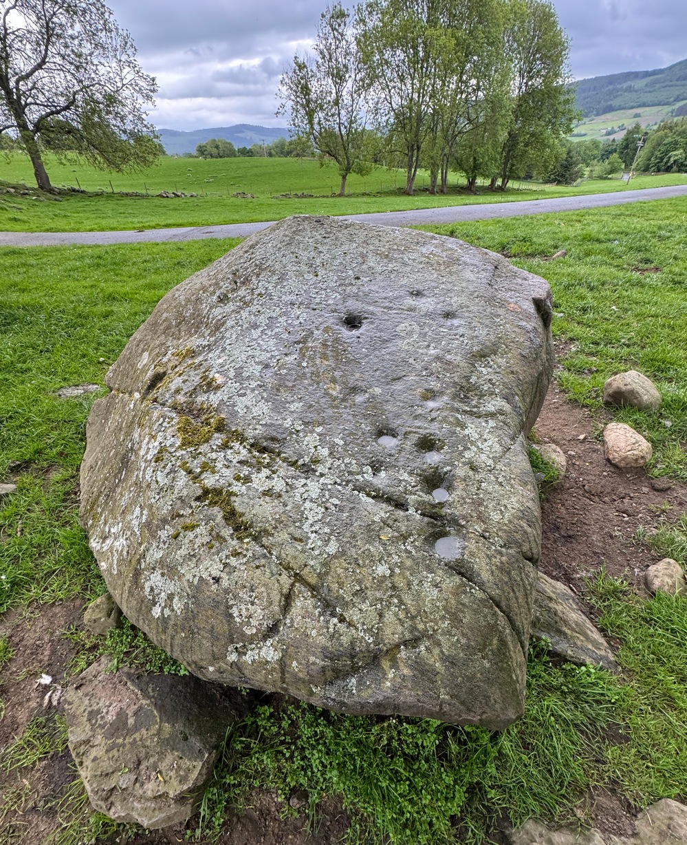
It’s a pretty basic design, consisting of at least eleven cup-marks, mainly running in a line upwards along its westernmost side, following the edge of a natural ridged contour. Of the two topmost cups, one of them may have a carved line running to it with a faint semi-circle then emerging from the line around the edge of the cup. But it’s faint—if it’s real—and the daylight was fading when we came here so this and any other design elements that may exist weren’t too easy to see. Hopefully I’ll get back up here pretty soon and see if there’s anything else hiding beneath the aged shadows.
It’s a wonderful arena above Edradynate, with countless other ancient sites peppered across the landscape hereby…

© Paul Bennett, The Northern Antiquarian


")


