Hawksworth Moor Cairnfield (01), West Yorkshire

Cairns:  OS Grid Reference – SE 140 443
Getting Here

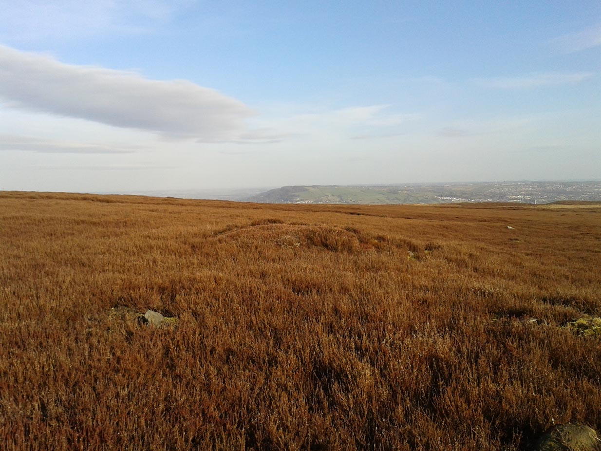
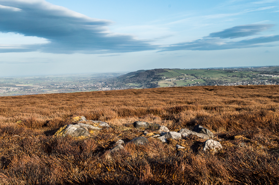
One of Hawksworth Moor's cairns
One of Hawksworth Moor’s cairns, looking west

Take the same directions as if you’re visiting the Great Skirtful of Stones giant cairn on the boundary of Burley and Hawksworth.  Cross the wire fence on its southern-side and, cross the (usually overgrown) prehistoric trackway 50-60 yards away.  Keep in the same direction onto the pathless moor for about the same distance again, zigzagging back and forth, keeping your eyes peeled for some small overgrown rocky rises.  You’ll find ’em.

Archaeology & History

Not to be confused with the much larger Bronze Age graveyard further south on the same moorland, this little-known prehistoric cemetery has had little of any worth written about it since the 19th century and—like many sites on these moors—has received no modern archaeological attention.
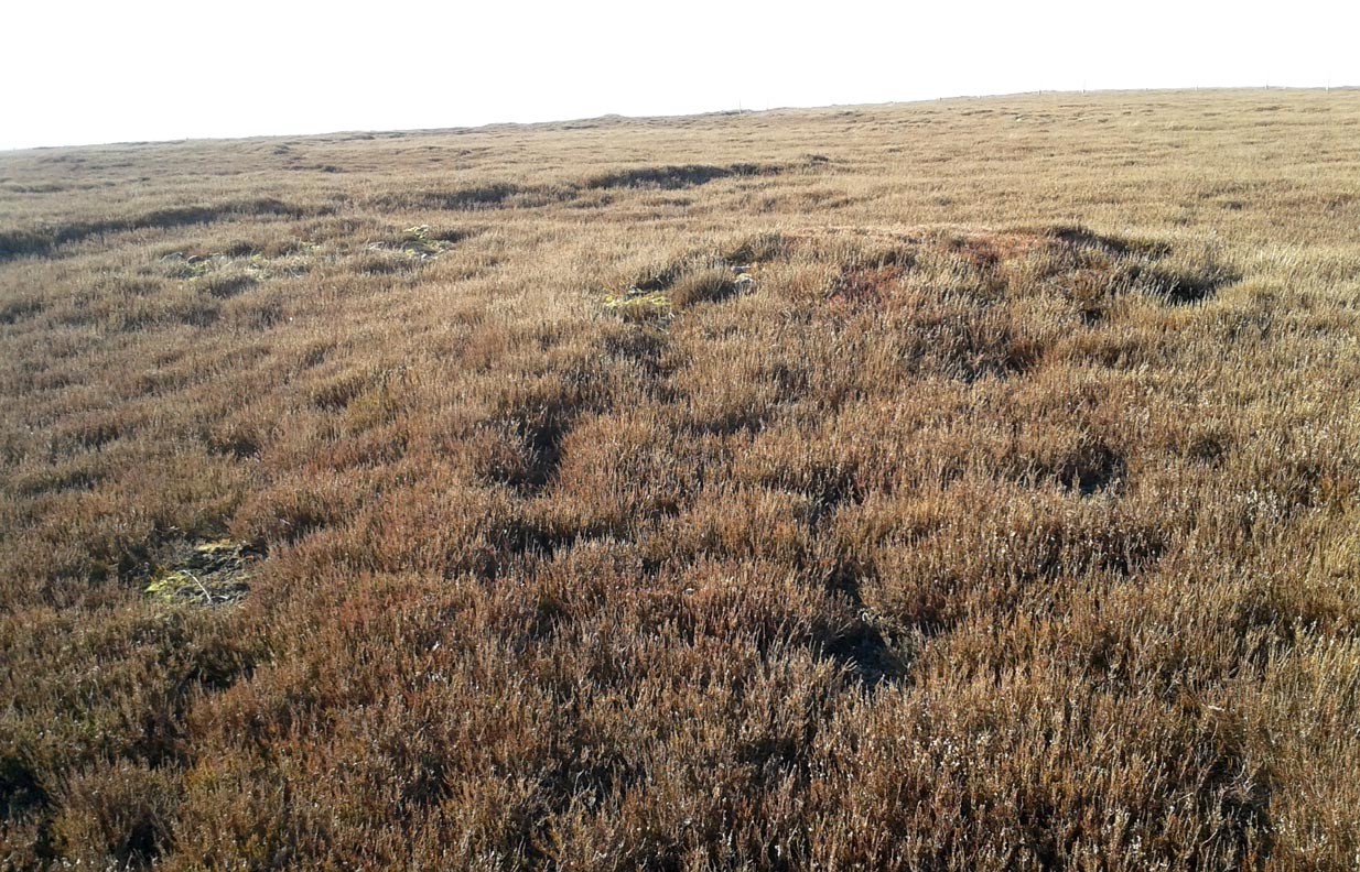
Close-up of one of the cairns
Two of the cairns, looking NW

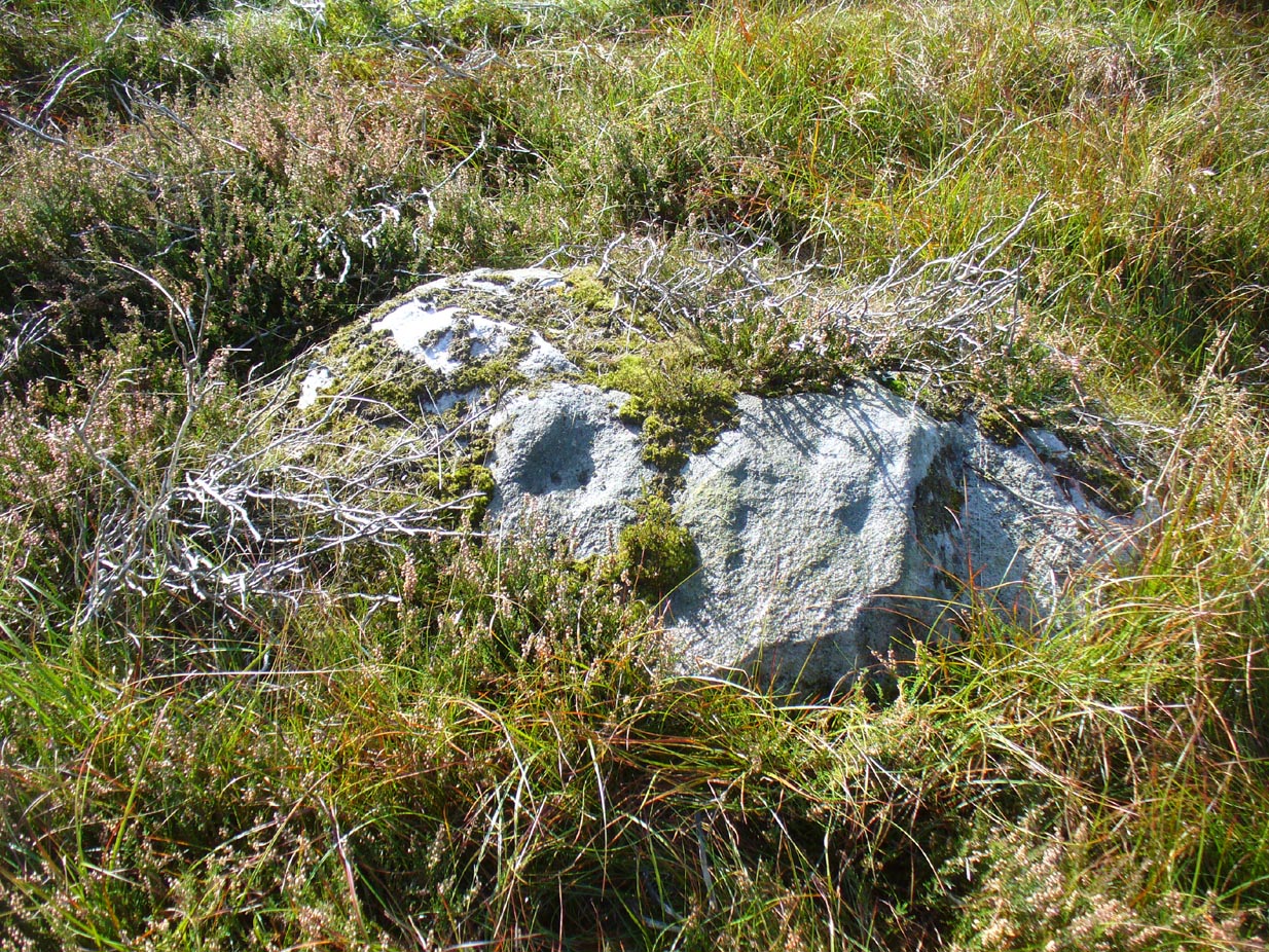
On my last visit to this site with James Elkington in 2015, only four of the heather-clad cairns were visible; but if you explore here after the heather has been burned away, a half-dozen such tombs are found in relatively close attendance to each other.  They are each about the same size, being roughly circular and measuring between 3-4 yards across, 10-12 yards in circumference and a yard high at the most. As you can see in the attached images, they are quiet visible even when the heather has grown on them.
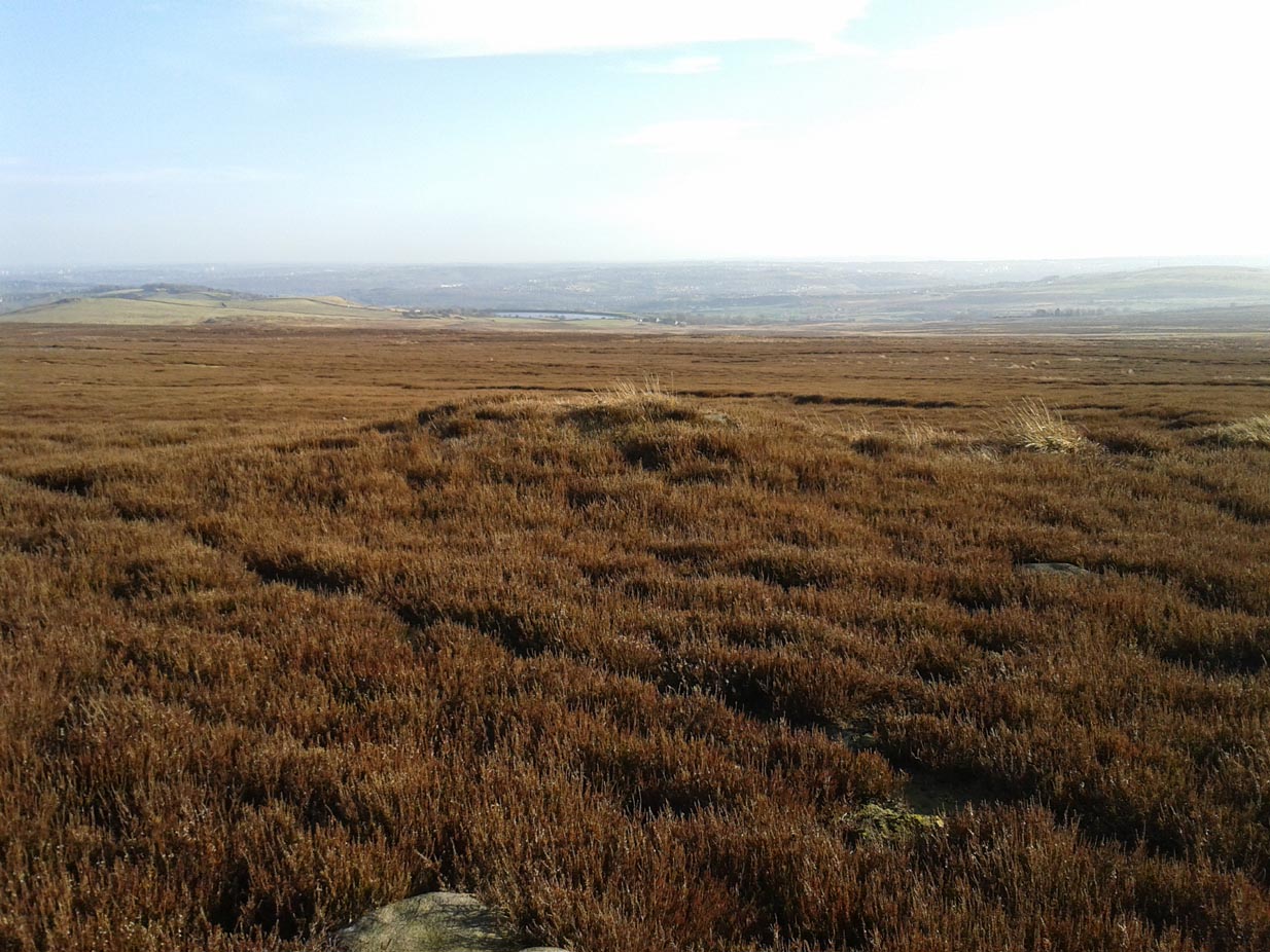
Another cairn in this group

This small cairnfield may stretch across and link up with the secondary cairnfield a half-mile to the southwest.  More survey work is required up here.

As with the circle of Roms Law and the Great Skirtful of Stones, this relatively small cluster of cairns seems to have had a prehistoric trackway approaching it, running roughly east-west.  A short distance west are the much-denuded waters of the Skirtful Spring.

References:

  1. Bennett, Paul, The Old Stones of Elmet, Capall Bann: Milverton 2001.
  2. Faull, M.L. & Moorhouse, S.A. (eds.), West Yorkshire: An Archaeological Guide to AD 1500 (4 volumes), WYMCC: Wakefield 1981.
  3. Wardell, James, Historical Notes of Ilkley, Rombald’s Moor, Baildon Common, and other Matters of the British and Roman Periods, Joseph Dodgson: Leeds 1869. (2nd edition 1881).

Acknowledgements: Huge thanks to James Elkington for use of his photo in this site profile.

© Paul Bennett, The Northern Antiquarian
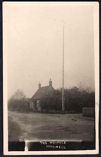

Maypole, Hemswell, Lincolnshire

Maypole: OS Grid Reference – SK 92954 90947

Historic photo from Church Street

Also Known as:

  1. English Heritage ID: 196736

Getting Here

In Hemswell Village at the junction of Church Street and Maypole Street.

History & Archeaology

According to a 2010 report in the Scunthorpe Telegraph, the Hemswell villagers,

“claim to be the hosts to one of the oldest maypole celebrations in the world, dating back to at least 1660”.

The then clerk to the parish council, Dianne Millward is quoted as saying:

“Hemswell is widely regarded in historical circles as having one of the oldest if not the oldest celebrations for May Day. We have pictures of the pole being prepared for the big day in the very early 1900s.”

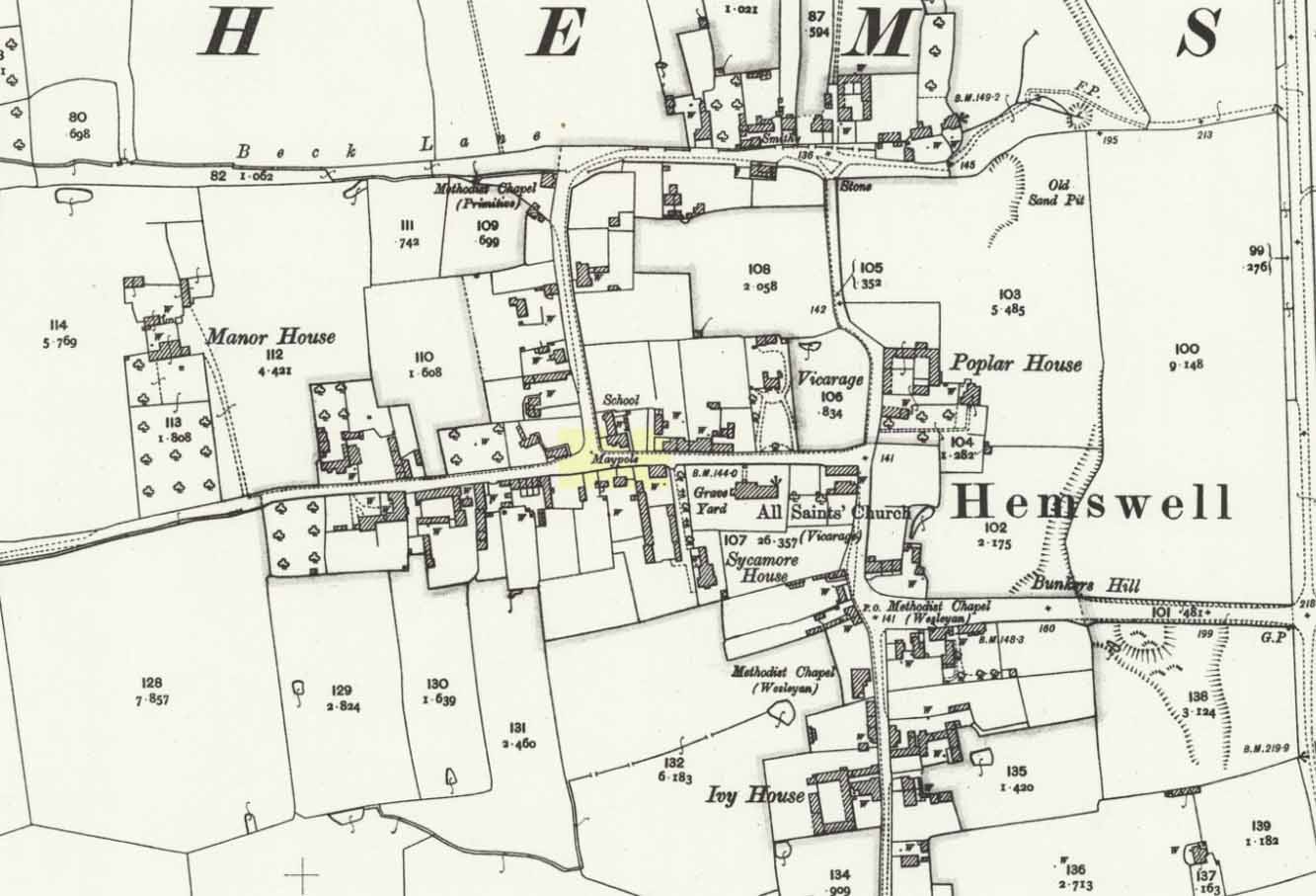
Hemswell maypole on 1906 map

This writer has not yet been able to independently verify these claims.

May Day is still celebrated in the village with dancing around the maypole and an accompanying fete. Recent online photographs show that it is now only children, in ‘historic’ fancy dress who ribbon-dance around the Pole.

© Paul T. Hornby 2016 The Northern Antiquarian


Lower Lanshaw Stone (02), Askwith Moor, North Yorkshire

Cup-and-Ring Stone:  OS Grid Reference – SE 16059 50875

Getting Here

Lanshaw cup-and-ring nearby
Lanshaw cup-and-ring stone

Start at the Askwith Moor parking spot on Askwith Moor Road, then walk down the road (south) 300 yards till you reach the gate and track on the other side of the road, heading southeast.  Following the track onto the moor and take the footpath on your right after 75 yards. Follow this along until you hit the gate & fence.  Climb over this, then follow the same fence along (left) and down, and keep following the fence and walling all the way on until you reach the very bottom southwestern edge of Askwith Moor itself.  Now, walk up the slope to your right and, near the top of this rise 250 yards away, past Lower Lanshaw 01 carving, in some ancient walling, you’ll find it!

Archaeology & History

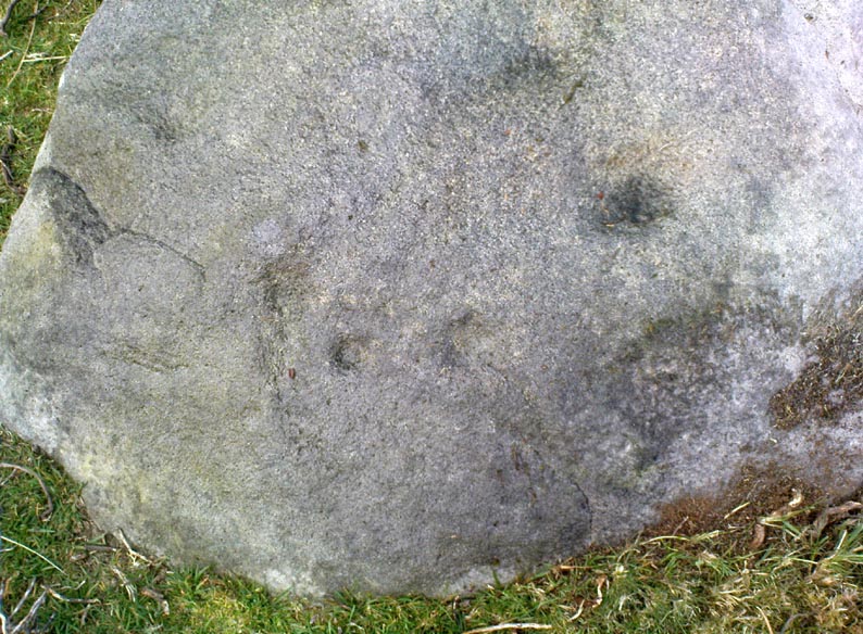
A very faded cup-and-ring carving can be found about 30 yards northeast of the Lower Lanshaw cup-marked stone, just as the hill slopes down to the overgrown stream.  It rests on the lower edges of the prehistoric (probably Bronze Age) enclosure in which other archaeological remains can be found.  Although the photo here highlights what seems to be 3 cups on the south-face of the rock, only one of them seems authentic.  A pecked “line” also seemed evident, but the light conditions were poor when we were here.  It does seem that there’s a faded ring around one of the cups, as you can see in the photo.

© Paul Bennett, The Northern Antiquarian 

Stanbury Hill North, Bingley Moor, West Yorkshire

Cup-Marked Stone:  OS Grid Reference – SE 1097 4339

Getting Here

Stanbury HIll cup-marked rock

Take the directions as if you’re visiting the ornate petroglyphs known as the Lunar Stone and the Spotted Stone. Walk past them and down the slope, NW, as if you’re heading to the small valley a few hundred yards away. As you reach the bottom of the slope, closer to the stream, a large boulder catches your attention. This carved stone is just a few yards before you reach it.

Archaeology & History

This simple cup-marked design below the northern slope of Stanbury Hill has, on its northeastern sloping face, a single cup-mark; then, past a curiously-etched line (probably more recent) is a larger circular feature, like a very shallow ‘bowl’ as in the one found in the superb Stag Cottage petroglyph complex 300 miles north (and several other carvings). A few yards away, a large single cup-mark has been etched onto another stone.  As with quite a few carvings in this region, they have been missed in the standard archaeocentric surveys.

© Paul Bennett, The Northern Antiquarian

The Maypole, Alconbury, Huntingdonshire

Maypole (removed):  OS Reference Number – TL 18554 75972

Getting Here

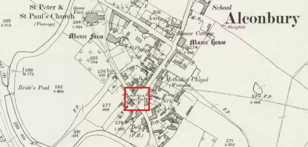
Maypole Square, outlined in red on the 1901 OS map

Maypole Square forms the junction of High Street, Church Way and Chapel Street in the centre of the village.

Archaeology & History

The Alconbury Maypole had passed out of living memory by 1942, but was historically attested by the ‘Maypole Square’ in the centre of the village.

Folklore

C.F. Tebbutt wrote in 1950:

“At Alconbury, it is remembered that about 1890 an old soldier, who lived in the corner house (east end) of the row of cottages facing Maypole Square, used to dig holes in the road opposite the row and set up May bushes there on May day”.

References:

  1. C.F.Tebbutt, “Huntingdonshire Folk and their Folklore”, in Transactions of the Cambridgeshire and Huntingdonshire Archaeological Society, Volume VI, part V, 1942.
  2. C.F.Tebbutt, “Huntingdonshire Folk and their Folklore II”, in Transactions of the Cambridgeshire and Huntingdonshire Archaeological Society, Volume VII, part III, 1950.

© Paul T. Hornby 2016 The Northern Antiquarian


St. Medan's Knowe, Kirkton of Airlie, Angus

Cairn:  OS Reference Number – NO 32021 52100

Also Known As:

  1. Battle Cairn
  2. Canmore 32360
  3. Cantsmill
  4. St. Madden’s Knowe

Getting Here

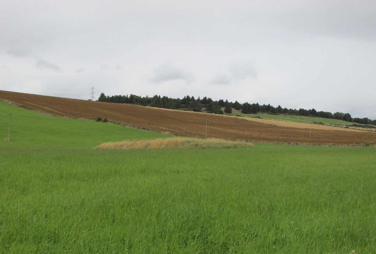
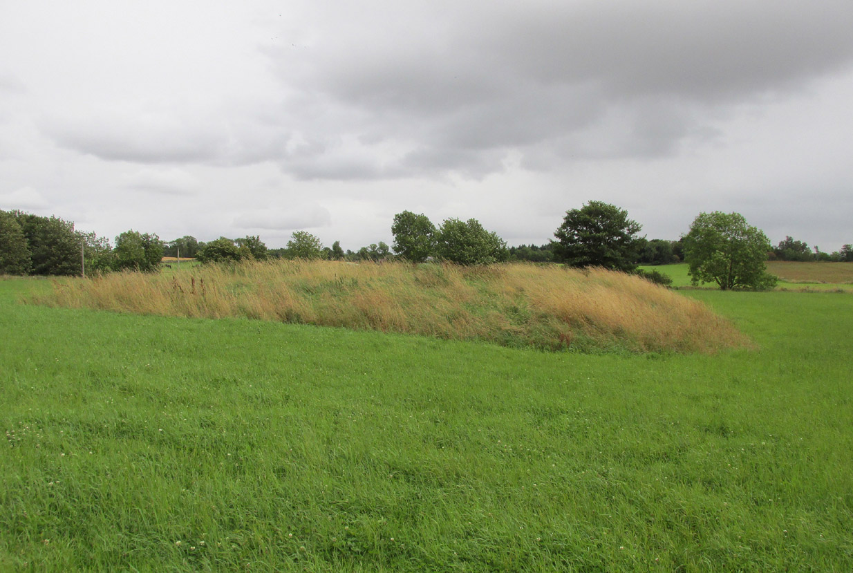
St Medan's Knowe, from the W
St Medan’s Knowe, from the W

At Kirkton of Airlie, park next to the church and walk north eastwards along the track, past the houses Crabra and Cleikheim, and cross the burn by the small bridge and the mound will be seen ahead of you in the field.

Archaeology & History

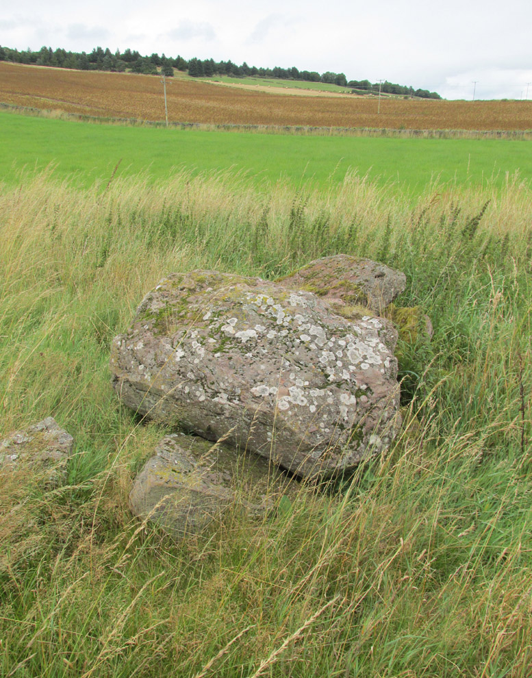
A largely flat topped, rectangular mound, measuring, according to Canmore,  28 metres by 22 metres, 2.2 metres high on the west side and about ½ metre high on the east side. There is a quantity of rubble strewn on the top among which are two stone slabs, described in 1958 as being possible cist cover stones. The site has clearly suffered considerable disturbance.

The site highlighted in red on the 1865 6" OS Map.
The site highlighted in red on the 1865 6″ OS Map.
The site from the north

Andrew Jervise, writing of the site in 1864 described it as having been 300′ in circumference and 6-7′ high before the owner started to remove it for agricultural ‘improvements’ around 1859. He described it as being sometimes known as the ‘Battle Cairn’. As part of the demolition of the mound, agricultural workers in October 1859 unearthed a large cinerary urn half filled with human bones and protected by a large sandstone flag.  Jervise writes:

“After the urn was found, care was taken removing other parts of the hillock; and on further reducing the surface, the top of a large boulder was exposed, upon and around which the mass of loose stones and earth appear to have been raised which composed the mound. The boulder, as far as ascertained, measures about 6 by 7½ feet; and the urn was found about four feet to the north east of the stone. At the distance of about four yards from the spot where the urn was found, there appeared to be a separate circle, rudely constructed of stones and earth – stones predominating. In this circle, at pretty regular distances, deposits of human and animal bones were found; and each of these deposits appeared to have been protected by two flat stones set up in a triangular form, resembling (an inverted letter V)…none of the deposits was more than 8″ below the surface”.  In February 1861, “..a stone cist was found a little to the south east of the boulder….it was 5 feet long by 2 in breadth. The lid, a single slab, was upwards of 6 feet in length…the depth of the cist was 2 feet….It was nearly empty, but one could see, from the soft, black, unctuous earth that was taken out of it, that it had contained a body.”

Jervise continues:

“The name of St. Medan’s Knowe is certainly significant, but, whether it would imply that the place had been that of his burial, or one of those of his ministry, and so been the original place of worship at Airlie – are interesting particulars upon which history and tradition are silent”.

Stone slabs on top
Stone slabs on top

The Ordnance Survey Name Books, and the 25-inch OS map of 1865 record the finding, 20 yards to the west of the knowe, of a bronze spear head, which was at that time in the possession of a Mr Dixon, a merchant of Kirriemuir, which may go some way to explaining the alternative name of the site as ‘Battle Cairn’.  The Name Books further record the testimony of a William Duncan that, ‘there have been 7 or 8 stone coffins and an urn found in the knowe, and that he believes a number more might be found if sought for, as the half of it is not yet excavated‘.

From the surviving evidence, it is very likely that Kirkton of Airlie was the centre of a cult of St. Madden (also known as ‘Medan’ and ‘Madan’), with the adjacent Holy Well, the (now destroyed) hamlet of St. Madden’s, and a Dewar’s land occupied by the hereditary custodians of St. Madden’s Bell. This site has no connection with St Medan’s Well at nearby Kirkton of Kingoldrum, that St Medan probably being a St Medana.

References:

  1. Andrew Jervise, Notice of Antiquities in the Parish of Airlie, Forfarshire, Proceedings of the Society of Antiquaries of Scotland, June 1864.
  2. Royal Commission on the Ancient and Historical Monuments of Scotland, The Archaeological Sites & Monuments of Central Angus, Angus District, Tayside Region, HMSO: Edinburgh 1983.
  3. Scotland’s Place Names

© Paul T. Hornby 2016 The Northern Antiquarian

Bogle’s Well, Glasgow, Lanarkshire

Sacred Well:  OS Grid Reference – NS 597 650

Archaeology & History

Of all the ancient wells in the city of Glasgow, this has to be one of the most intriguing! Descriptions of it are few and far between, but it is the name of the site which is of interest, to folklorists and occult historians alike.  For the word ‘Bogle’ is another term for a ‘boggart’ or goblin of some sort!  The well is mentioned in Andy MacGeorge’s (1880) excellent study in his description of ancient wells in the city. Citing notes from the 17th century, amidst many sites,

“Another was Bogle’s Well, in regard to which there is a minute of the town council “that Bogillis Well should be assayed for bringing and convoying the water of the same to the Hie street according to the right the town hes thereof,” and the magistrates are recommended to arrange for having this done “by conduits of led.””

…Obviously in the days when they were clueless about lead-poisoning!  The word ‘bogillis’ is the early plural form of the bogle, or bogill (Grant 1941:201).  But where exactly was this old well?  Are there any other records hiding away to help us locate its original position?  It seems to have been one in a cluster of legendary and holy wells in a very small area scattered between Glasgow’s cathedral, down the High Street and to the northern banks of the River Clyde… (the grid-reference given for this site is an approximation)

In a less esoteric fashion, the occult historian Jan Silver suggested that the name of the Well may relate to the family name, ‘Bogle’.  This could indeed be the real story behind the well’s name.

Folklore

Traditionally ascribed in the lower counties of England to be an evil malicious sprite, in more northern counties and in Scotland the creature was said by Katherine Briggs (1979) to be a more “virtuous creature”, akin to the helpful brownies or urisks of country lore.  This was said to be the case in William Henderson’s (1868) Folklore of the Northern Counties. Whether this well was haunted or the home of a bogle, we do not know as the folklore of this site appears to be lost; so I appeal to any students who might be able to enlighten us further on the place.  The Forteans amongst you might have a cluster of ‘hauntings’ hereby, perhaps….

References:

  1. Bennett, Paul, Ancient and Holy Wells of Glasgow, TNA 2017.
  2. Briggs, Katharine, A Dictionary of Fairies, Penguin: Harmondsworth 1979.
  3. Grant, William (ed.), The Scottish National Dictionary – volume 2, SNDA: Edinburgh 1941.
  4. Henderson, William, Notes on the Folklore of the Northern Counties of England and the Borders, W. Satchell: London 1879.
  5. MacGeorge, Andrew, Old Glasgow, Blackie & Son: Glasgow 1880.
  6. MacKinlay, James M., Folklore of Scottish Lochs and Springs, William Hodge: Glasgow 1893.
  7. Steele, Joyce, Seeking Patterns of Lordship, Justice and Worship in the Scottish Landscape, Glasgow University 2014.

© Paul Bennett, The Northern Antiquarian

Deanside Well, Glasgow, Lanarkshire

Healing Well (destroyed):  OS Grid Reference – NS 5974 6534

Also Known as:

  1. Meadow Well

Archaeology & History

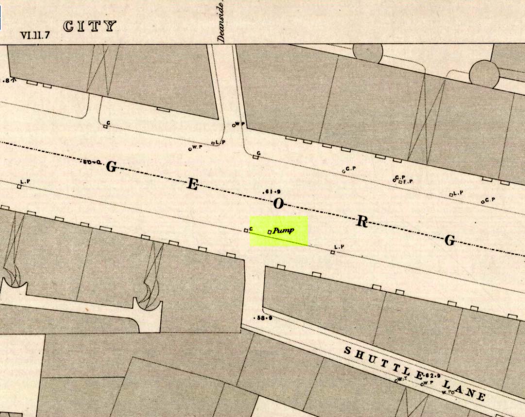
Probable site of Deanside Well, 1857
Deanside Well ‘pump’ in 1857

This little-known well—destroyed about two hundred years ago—was said to be one of the finest of all of the water supplies in the Glasgow district in pre-industrial days.  The Glasgow historian Andy MacGeorge (1880) told it to be “a spring which was then, and for long afterwards, in great repute.”  It was described as early as 1304 CE in a grant by Robert, bishop of Glasgow, allowing the christians to take water from the well and into their convent.  The Latin transcript told:

“Noveritis Ros intuita caritatis, Dedisse fratribus Predicatoribus de Glasgu, Fontem quendam qui dicitur Meduwel in loco qui dicitur Denside scaturientem, in perpetuum conducendum in claustrum dictorum fratrum, ad usus necessarios eorundem”  (Meaning, “Know ye that I Rosh, of charity, Among His brethren shared with the Preaching Friars of Glasgow, the gushing fountain called Meadow Well or Deanside as the place is called, to the cloisters is said to meet the needs” of the monks.”)

There is the possibility that the well was deemed as ‘holy’ due to it being of vital use to the bishop and monks, but I can find no record of it being ‘blessed’ as such; and the exact site of the bishop’s convent has been lost to history.  In 1574 the “Deynside Well” needed cleaning due to  people clogging up the waters with earth and stones; and sometime in the 18th century the spring of water was turned into a draw-well.

A northern antiquarian by the name of ‘ Senex’ (real name, Robert Reid) visited the Deanside Well at the end of the 18th century, telling of its whereabouts:

“In the year 1789 I had occasion daily to mount and descend the Deanside Brae, upon business, so that the state of the place at that date is quite familiar to me.  The whole of the Deanside Brae was then vacant ground, as is shown in the old Maps of Glasgow.  The Deanside or Meadow Well was situated in a meadow at the west end of Grayfriars’ (or Bun’s) Wynd, close to the footpath leading up to the Rottenrow; it is now on the street, at 88 George Street, opposite to the lane leading into Shuttle Street.  The Deanside Well was then in a rural spot, the whole lands on the west, as far as Partick, being garden grounds and com fields.

“In Stuart’s Views the lonely foot passage up the Deanside Brae, to the Rottenrow, is very distinctly shown. The well stood at the south extremity of the said footpath, about the centre of the wynd.”

‘Senex’ also told that an ancient fair was held in “an enclosure” at the northwest corner of Shuttle Street, close to the Deanside Well.

References:

  1. Bennett, Paul, Ancient and Holy Wells of Glasgow, TNA 2017.
  2. MacGeorge, Andrew, Old Glasgow, Blackie & Son: Glasgow 1880.
  3. ‘Senex’, Old Glasgow and its Environs, D.Robertson: Glasgow 1864.
  4. Stuart, Robert, Views and Notices of Glasgow in Former Times, R.Stuart: Glasgow 1848.

© Paul Bennett, The Northern Antiquarian


Shawfield, Rutherglen, Glasgow, Lanarkshire

Tumulus (destroyed):  OS Grid Reference – NS 6041 6297

Also Known as:

  1. Canmore ID 45108

Archaeology & History

Close to the ancient boundary of north Lanarkshire—if not actually on it—and looking down on the River Clyde, was once a prehistoric burial mound, probably Bronze Age in nature.  Described first of all in David Ure’s (1793) early survey of Rutherglen, he told that:

“A tumulus of earth, supposed to have been originally a burying place, was lately demolished in the estate of Shawfield, a few yards from Polmadie; and the place where it stood converted into a mill-dam.  None of its contents attracted the particular attention of the workmen employed in removing it.”

The site was subsequently referenced in Hugh MacDonald’s (1860) excellent work, but no remains of it now exist.

References:

  1. Macdonald, Hugh, Rambles round Glasgow, John Cameron: Glasgow 1860.
  2. Royal Commission Ancient & Historical Monuments of Scotland, Lanarkshire: An Inventory of the Prehistoric and Roman Monuments, HMSO: Edinburgh 1978.
  3. Ure, David, The History of Rutherglen and East Kilbride, Glasgow 1793.

© Paul Bennett, The Northern Antiquarian

St. Madden’s Well, Kirkton of Airlie, Angus

Holy Well:  OS Grid Reference – NO 3179 5188

Also Known as:

  1. Canmore ID 32367
  2. St. Madan’s Well 
  3. St. Medan’s Well

Getting Here

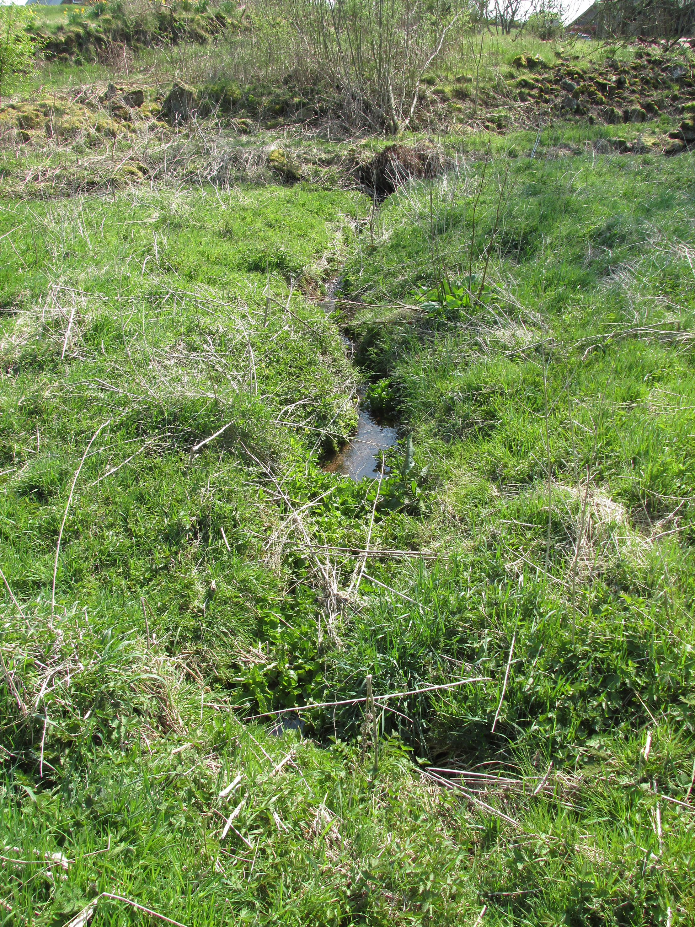
One of the present issues of St. Madden's spring looking south.
One of the present issues of St. Madden’s spring looking south.

At Kirkton of Airlie, park next to the church and walk north eastwards along the track, past the houses ‘Crabra’ and ‘Cleikheim’ and the spring that once supplied the Holy Well will be seen on the opposite side of the burn in a small fenced off enclosure. To the north east of the enclosure is a small hillock known as St Medan’s Knowe.

Archaeology & History

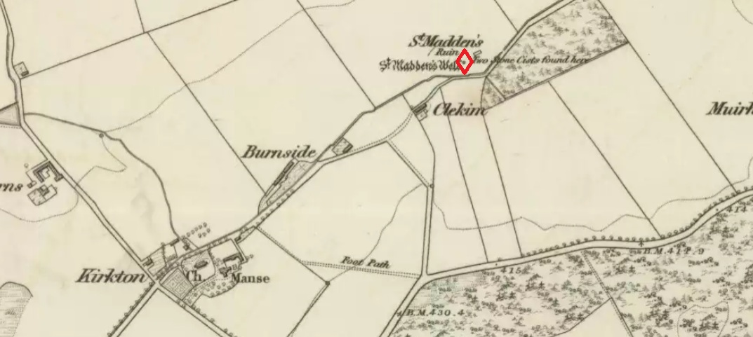
According to the Ordnance Survey Name Books, St Madden’s Well was located in a hamlet called St Maddens, which has since been almost entirely destroyed.  In the mid nineteenth century a number of stone coffins and pottery were recovered from around the site, and the well was described as,

“filled up and defaced, the spring…still to be seen issuing into the mouth of a covered drain that was made some few years ago”.

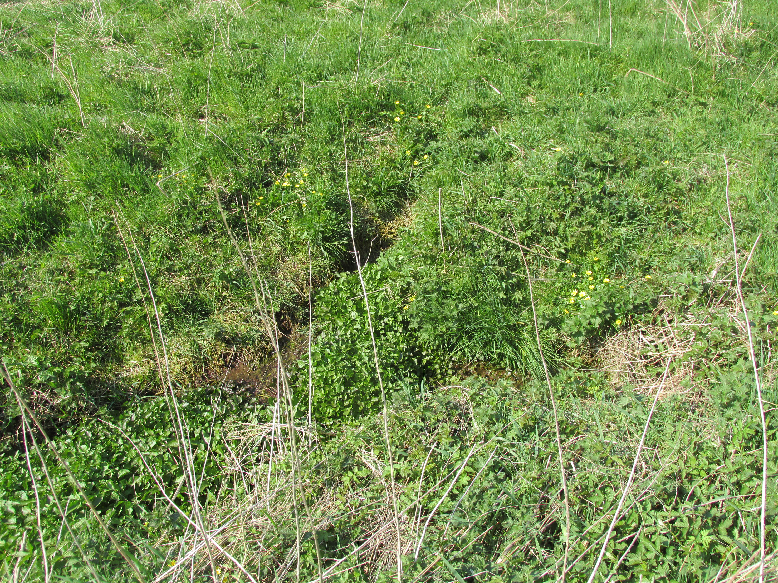
There are now two issues of water from the spring, while nothing now remains of the original well housing. An adjoining resident informed me that the local landowner had gone to some trouble to try to find any evidence of the well housing, but had found nothing.

St. Madden's Well highlighted in red on the 1865 6" OS Map.
St. Madden’s Well on 1865 Map

As is often the case with these early mediaeval Scottish saints there is some confusion as to St Madden’s identity. To some writers his Saint’s day is accepted to be April 29th, and he has been identified as Saint Middanus, abbot of the monastery of Holywood, but Bishop Alexander Forbes considers he is more likely to have been a Bishop Medanach listed in the Dunkeld Litany.

To confuse things even more, J.M. MacKinlay (1904) wrote:

“The Hamlet of St Madden’s or St Medan’s in the parish of Airlie, where are also St Medan’s Well and St Medan’s Knowe, probably retains the name of St Modan, believed to have been a contemporary of St. Ronan.  Skene says: ‘Modan appears in the Scotch calendars as an abbot on the fourth February, and as a bishop on the fourteenth November; but the dedications to him are so much mixed up together that it is probable that the same Modan is meant for both'”.

Andrew Jervise provides the following quote about St Medan:

“..bishop and confessor whose feast is held on 14th November was in great favour with King Conran c.503 – Coll. for Aberdeen and Banff.”

Another issue of the spring

Whosoever St Madden was, his quadrangular bell was the subject of an extant fifteenth century deed whereby the bell with its appurtenant parcel of land was granted to the Countess of Moray as dewar (hereditary keeper of a Holy Relic with appurtenant land), together with “the infeftment being completed by (the Countess) being shut up in a house and then receiving the feudal symbols of earth and stone.” On the death and subsequent disposal of the estate of the last dewar in the nineteenth century, the bell was sold along with a load of rubbish, its true identity and value not being realised at the time.

References:

  1. Andrew Jervise, The History and Traditions of the Land of the Lindsays, Edinburgh, Sutherland & Knox 1853.
  2. Andrew Jervise, Epitaphs and Inscriptions from Burial Grounds and Old Buildings in the North East of Scotland, Edinburgh, Edmonston and Douglas 1875.
  3. James Murray MacKinlay, Influence of the Pre-Reformation church on Scottish Place-Names, Edinburgh and London, William Blackwood and Sons 1904.
  4. Dom Michael Barrett, A Calendar of Scottish Saints, Fort Augustus 1919.
  5. Bishop Alexander Forbes, Kalendars of Scottish Saints, Edinburgh, Edmonston and     Douglas 1872.
  6. Scotland’s Place Names
  7. Andrew Jervise, Notice of Antiquities in the Parish of Airlie, Forfarshire, in Proceedings of the Society of Antiquaries of Scotland, June 1864

© Paul T. Hornby 2016 The Northern Antiquarian