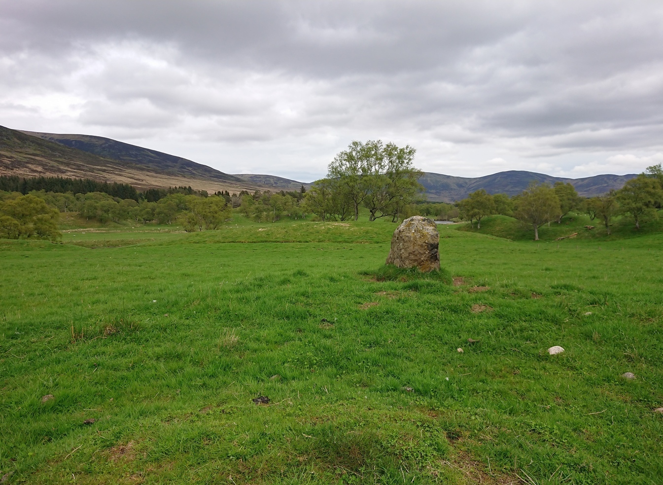
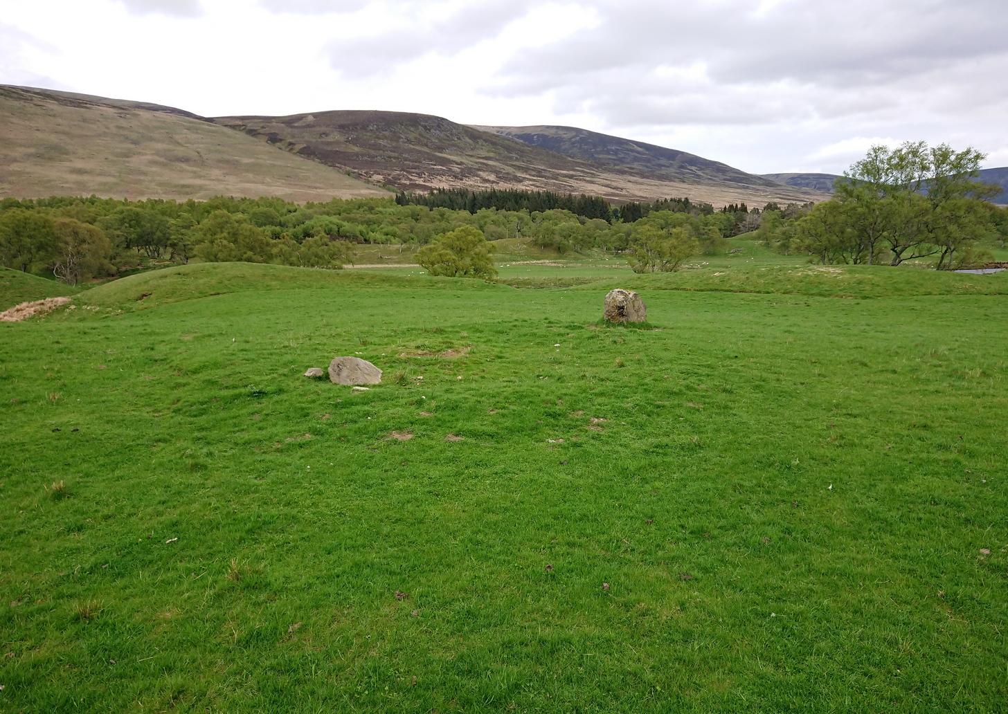
Cup-and-Ring Stone: OS Grid Reference – NN 89986 26994
Also Known as:
-
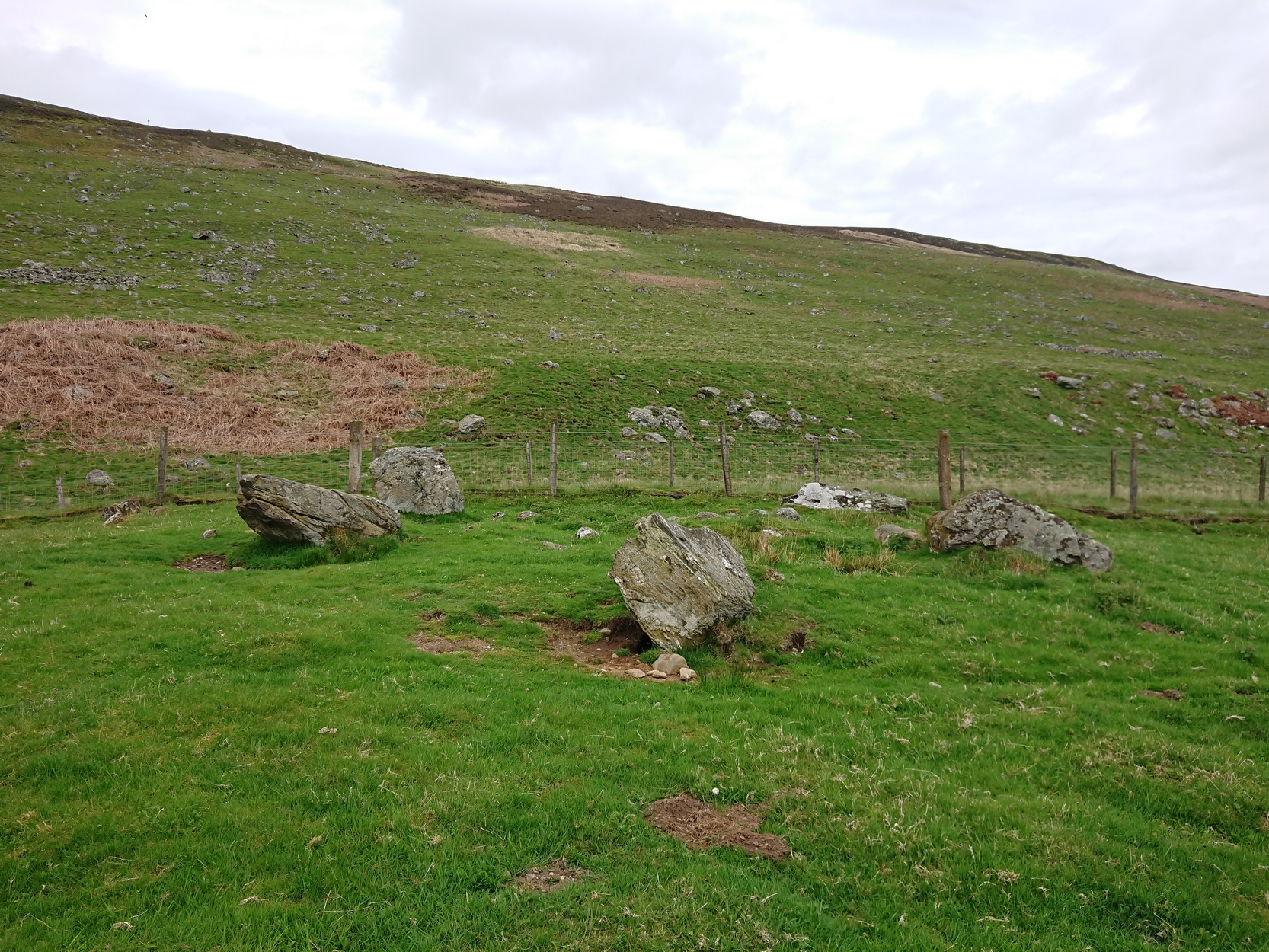
Connachan Lodge
Getting Here
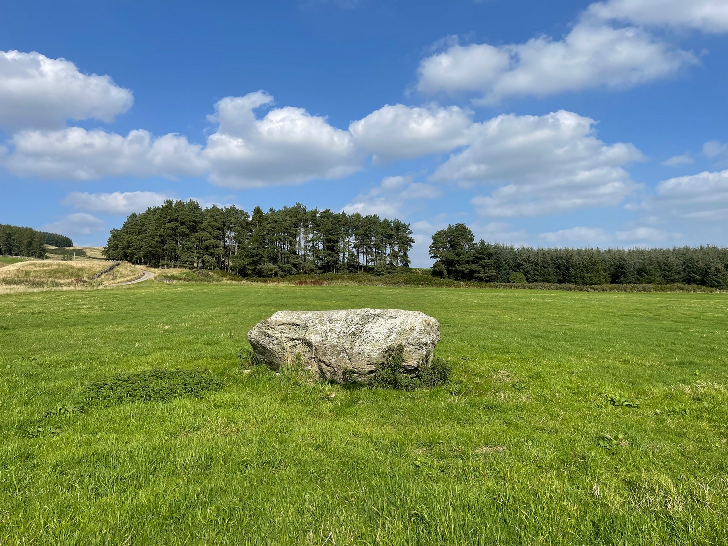
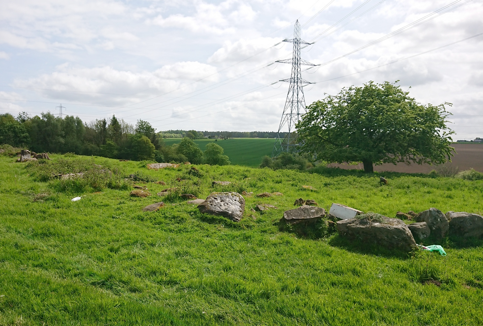
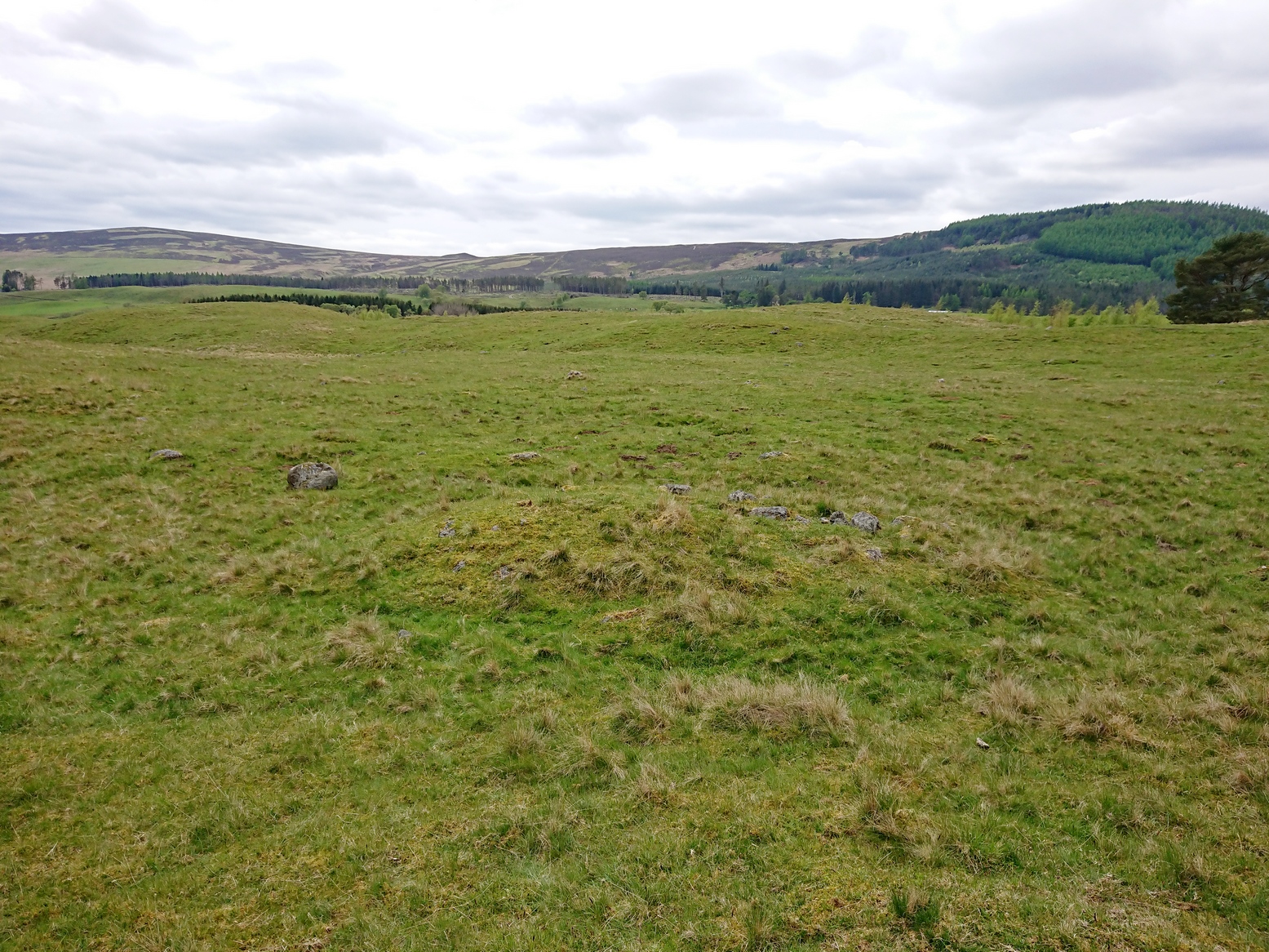
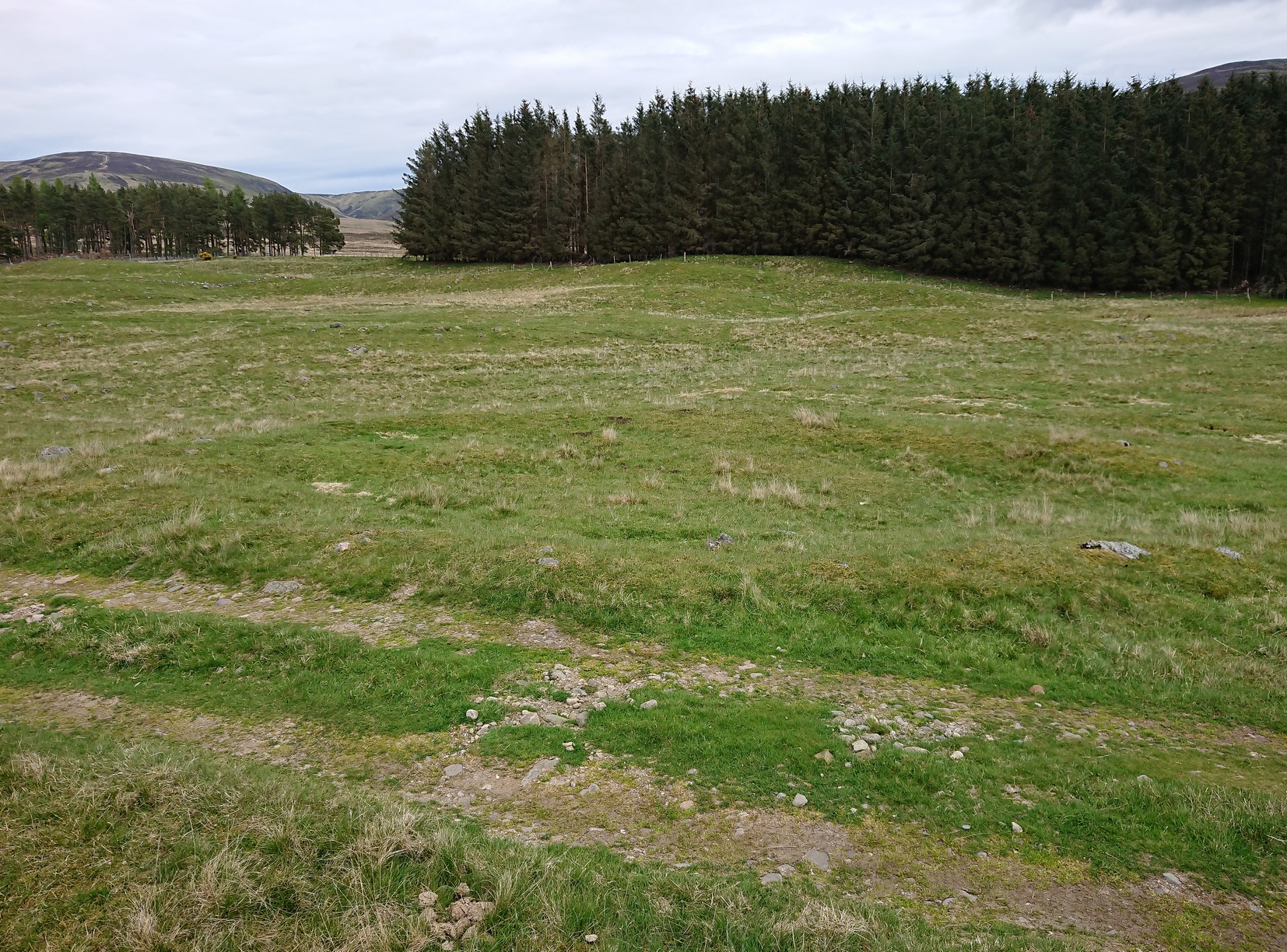
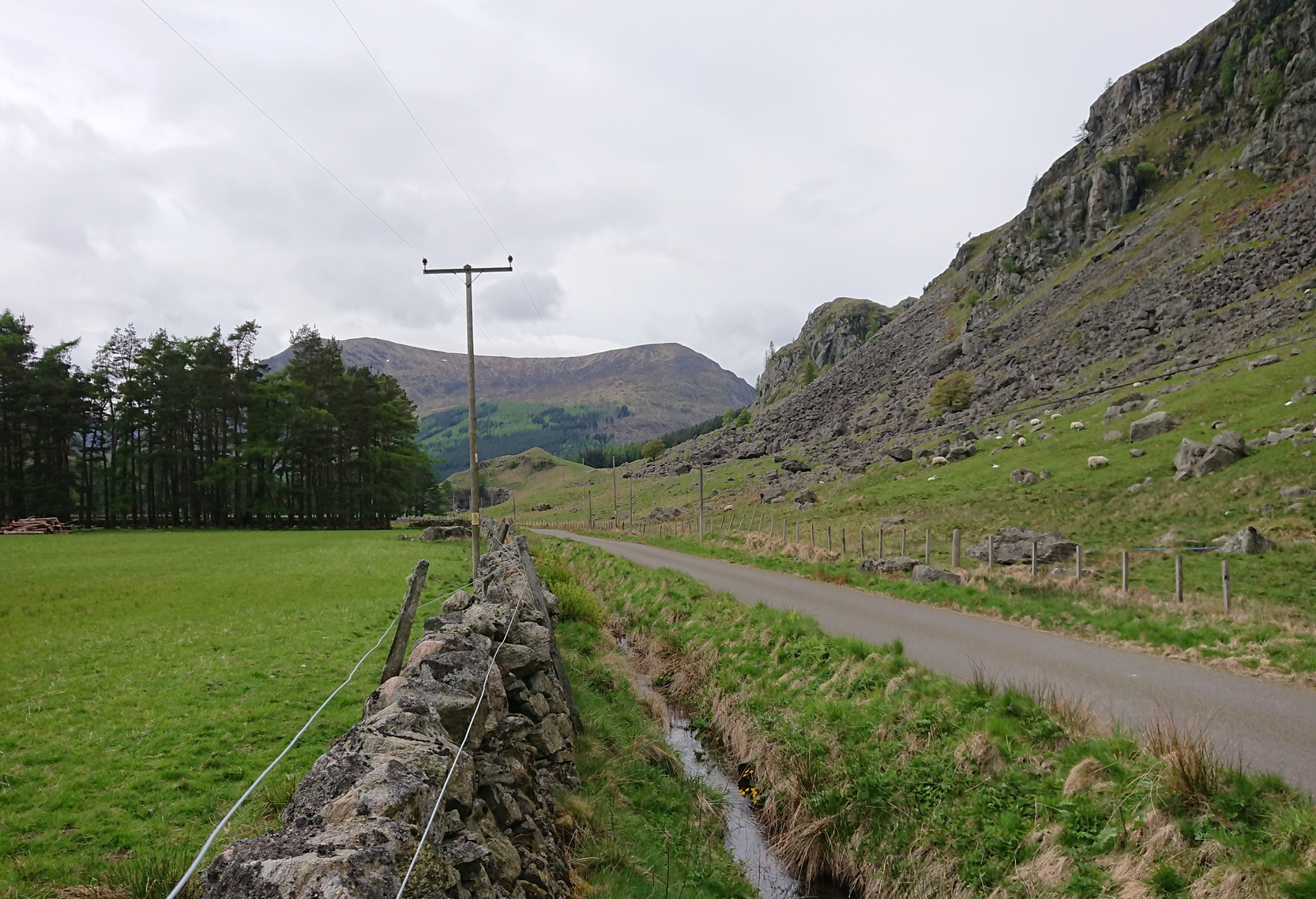
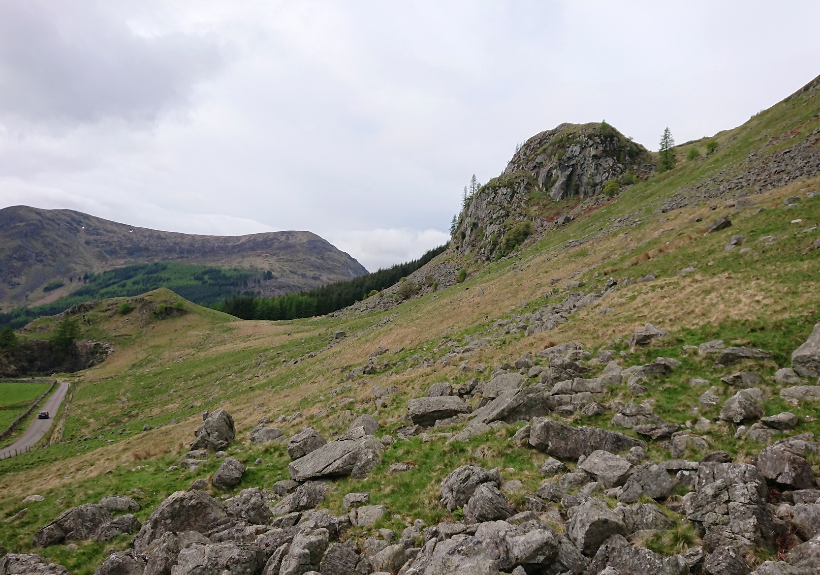
Take the A85 road east out of Crieff and after roughly 2 miles at Gilmerton, turn left up the A822 Dunkeld road. Go along here for nearly 2½ miles, where you’ll reach the Foulford golf course on the right-hand side of the road. Directly opposite the entrance into the golf course, a dirt-track leads you into the fields where, laying alone and standing out like a sore thumb about 300 yards away, you’ll see a large rounded boulder sitting there minding it’s own business. You can see it quite clearly from the roadside. Nice n’ easy.
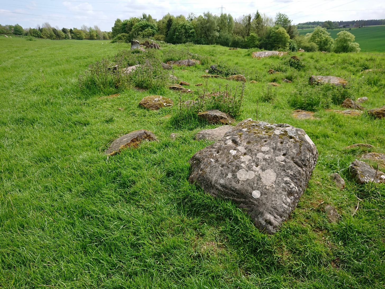
Archaeology & History
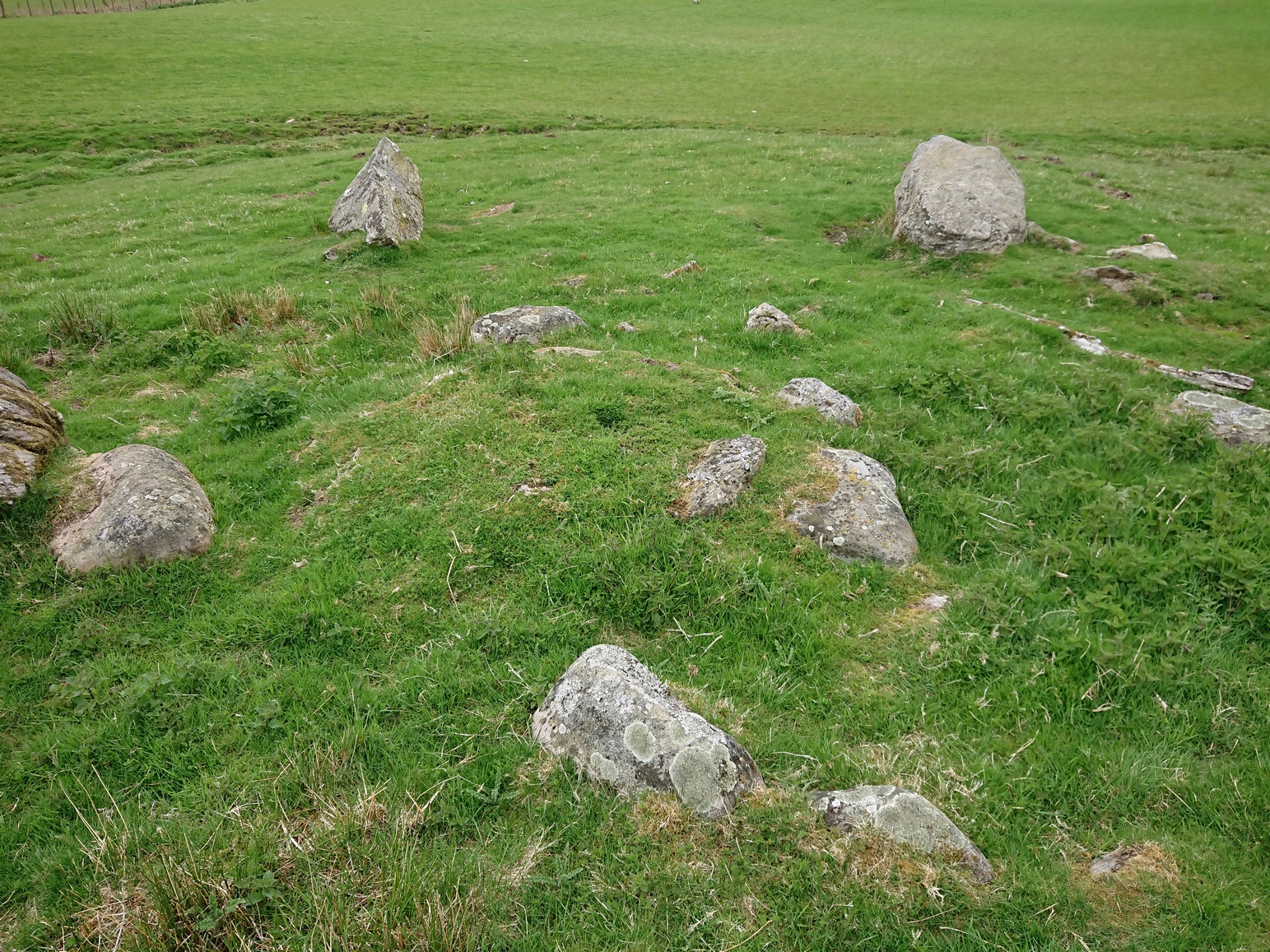
For such a large conspicuous stone, you’d think there’d be quite a lot written about it as well as hope for a good ornate design—but alas!, both hopeful expectations are lacking. Although, as usual, there’s more to it than is described in the official records—although not much more….

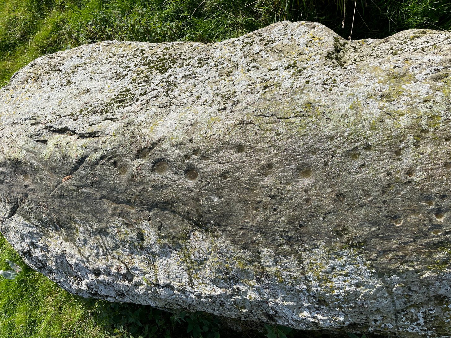
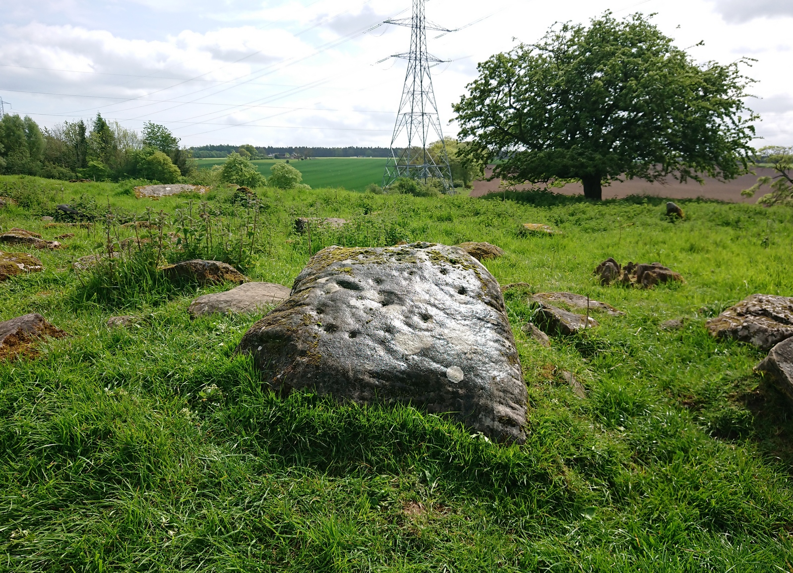
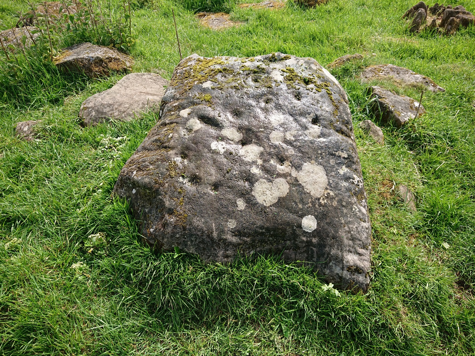
As you walk towards it, it seems as if a rounded earthfast boulder is in front of you, but once you reach it you realise that it’s nothing of the sort. Indeed, the more you looked at the stone, the more it seems as if it might have stood upright not too many centuries ago; the prevalence of other standing stones in the area being well known. But, along the spine of this long stone, a number of cup-marks speak out to you: at least seven of them, perhaps eight. There are a number of smaller “cups” roughly along the same length of stone, but these are Nature’s handiwork; but, it looks as if one or two of the man-made cups might have started their lives as Nature’s indentations and been worked into the symbols that still remain to this day.
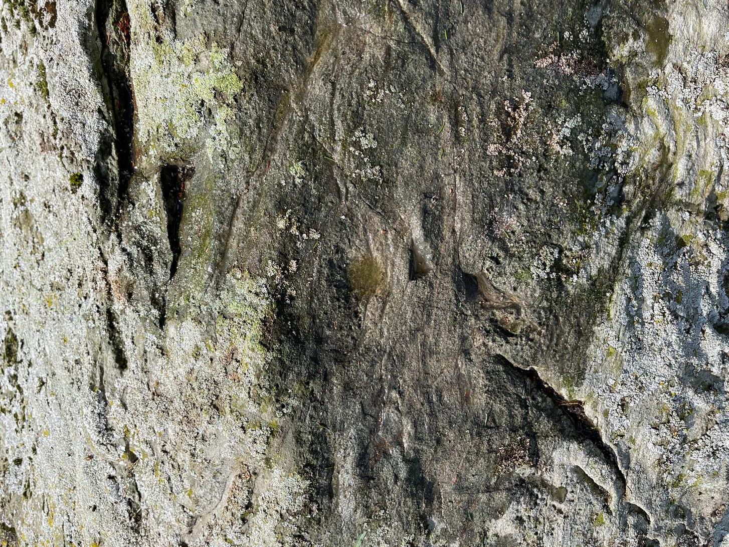
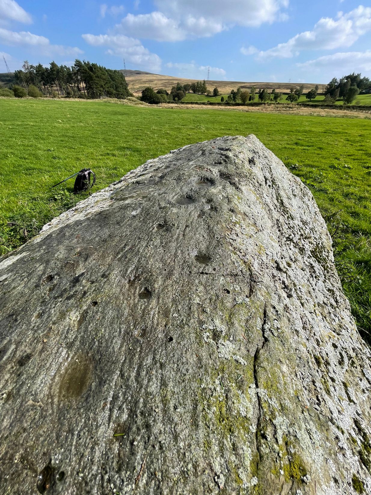
The official records tell us of the cup-marks, but says nothing of the faint but distinct rings around two or three of the cups. The most notable one, albeit faint, is near the southeastern part of the stone, where the ring seems to be an artistic partnership of Nature and man. You can make it out in the photo, albeit not too clearly. Nearer to the middle of the stone at least one of the cups has a semi-circle around it and, just to the side of it, a natural crack in the stone has been enhanced and carved into a short line. On the whole, it’s not a visually impressive carving and the design is troublesome to see if the lighting isn’t right (as usual), but is worth having a look at if you’re in the area. Very little’s been written about it apart from brief notes in the regional megalithic surveys of both Finlayson (2010) and Watson (2006).
References:
- Finlayson, Andrew, The Stones of Strathearn, One Tree Island: Comrie 2010.
- Watson, David, A Simple Introduction to the Stone Circles and Standing Stones of Perthshire, Photoprint 2006.
Acknowledgements: Huge thanks for use of the Ordnance Survey map in this site profile, reproduced with the kind permission of the National Library of Scotland.
© Paul Bennett, The Northern Antiquarian