Sacred Well (lost): OS Grid Reference – SK 30 84
Archaeology & History
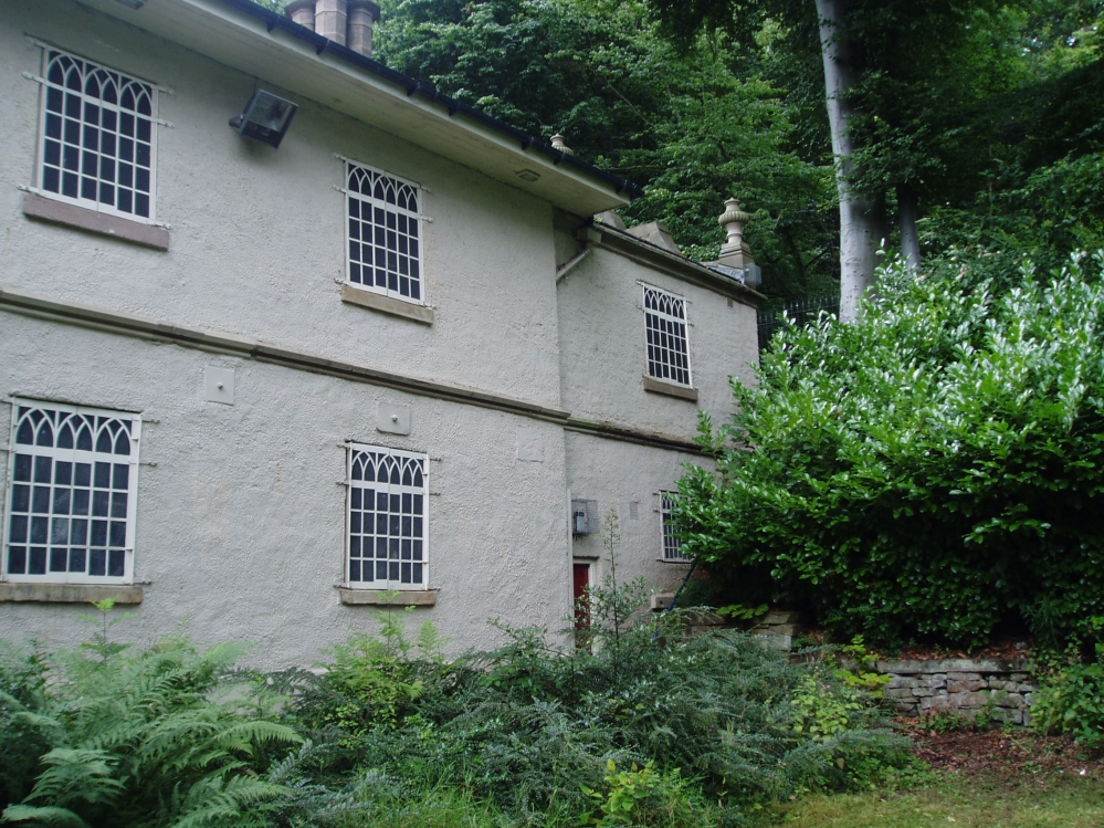
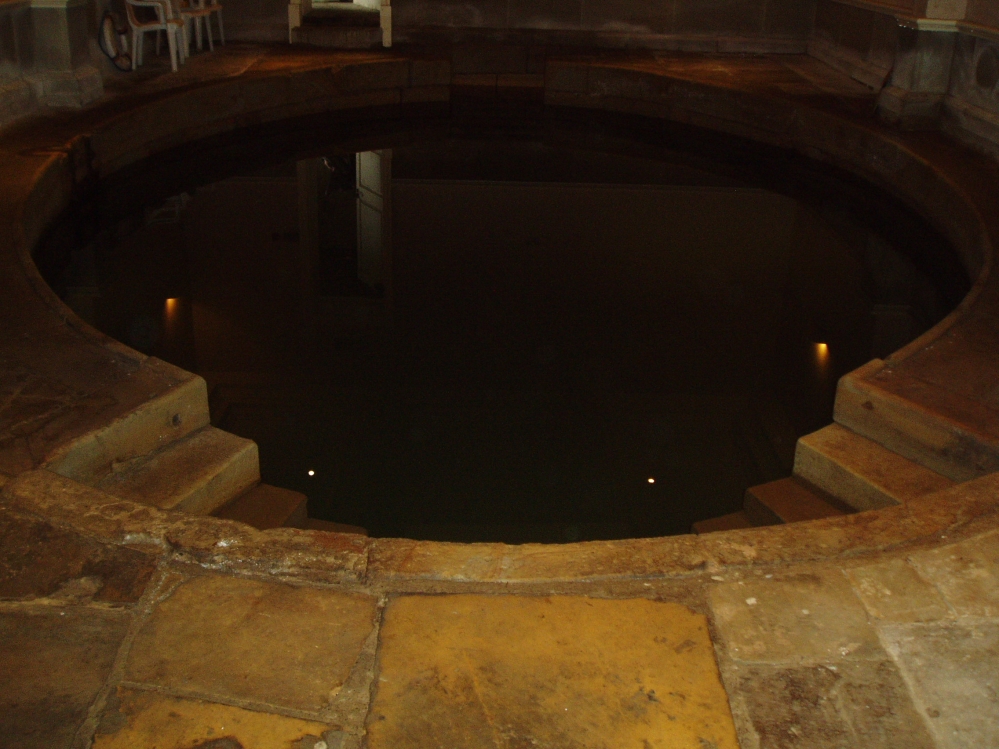
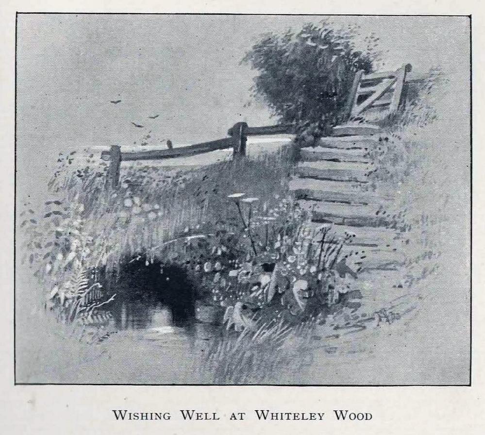 The location of this site has proved troublesome. Even when Rob Wilson (1991) did his local survey of holy wells he was unable to locate it—but it looks as if it shouldn’t be too troublesome to find, as the area in which it flowed is still very much a mix of open countryside and maintained landscapes. Described briefly as the “Wishing Well near Whiteley Wood” in Sidney Addy’s (1893) fine work, he makes a rather hopeful attempt to derive the word ‘wishing’ from German mythology, where “one of the names of the god Wuotan or Odin was Wunsch or Wish.” But – well – you just never know…..
In the landscape at Whiteley Wood there is a Priest’s Hill, so if this Well was found there, it may indeed have had an authentic ‘holy’ designation. But there were a couple of ponds in the area too, which may be fed by this spring. So, first, we need to find the well!
References:
- Addy, Sidney Oldall, The Hall of Waltheof, William Townsend: Sheffield 1893.
- Wilson, Rob, Holy Wells and Spas of South Yorkshire, Northern Arts: Sheffield 1991.
© Paul Bennett, The Northern Antiquarian