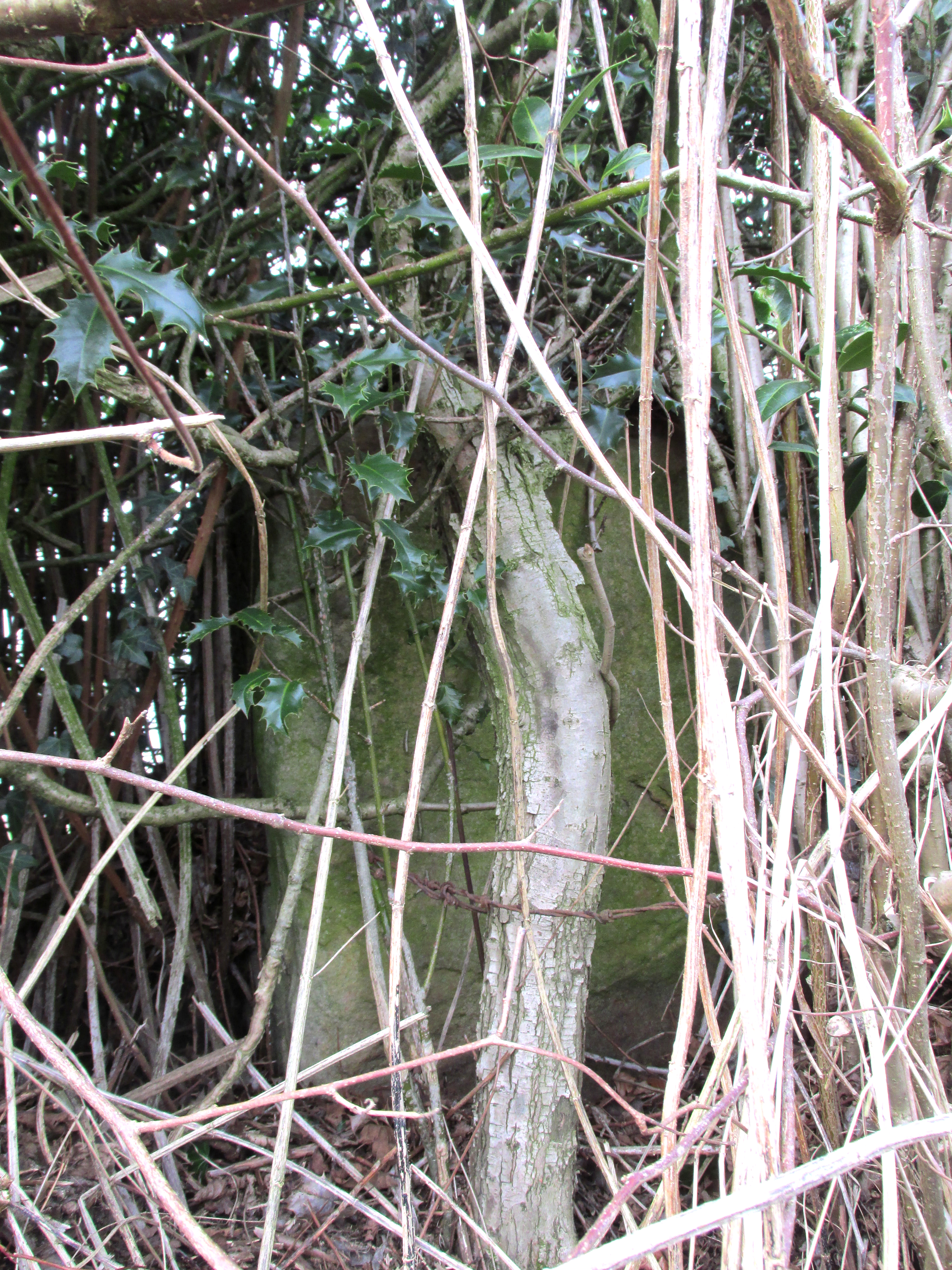
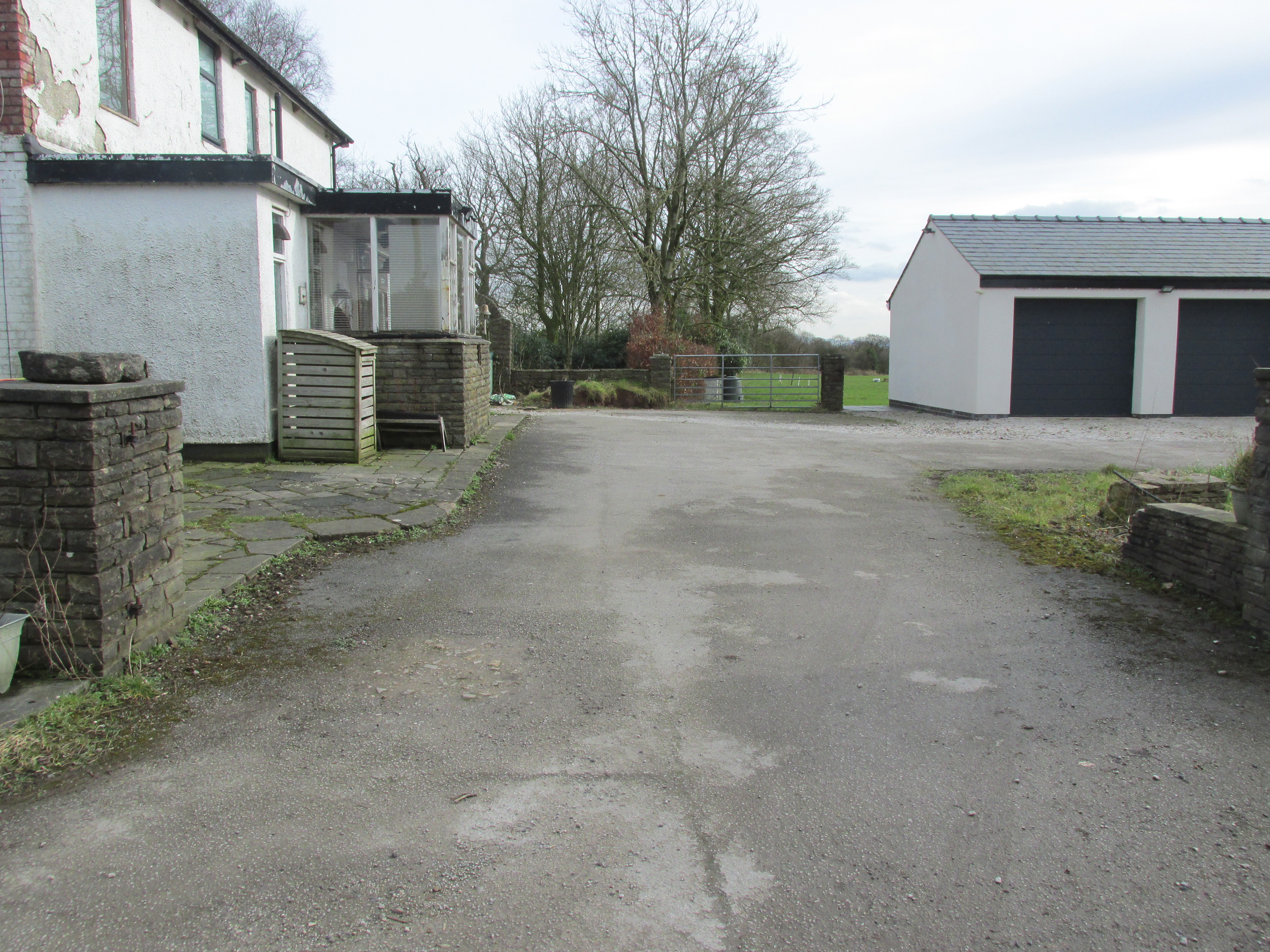
Travelling east out of Goosnargh on the B5269, go straight ahead onto Camforth Hall Lane, follow it northwards and take the left fork at Stump Cross onto Eaves Green Lane, and a lane will be seen on the left signposted Eaves Green. Walk along this lane and a white Snowcemmed house, ‘Bridle Mount’ will be seen on the left. The cross base will be found deep in the holly hedge opposite the driveway to the house.
Archaeology & History
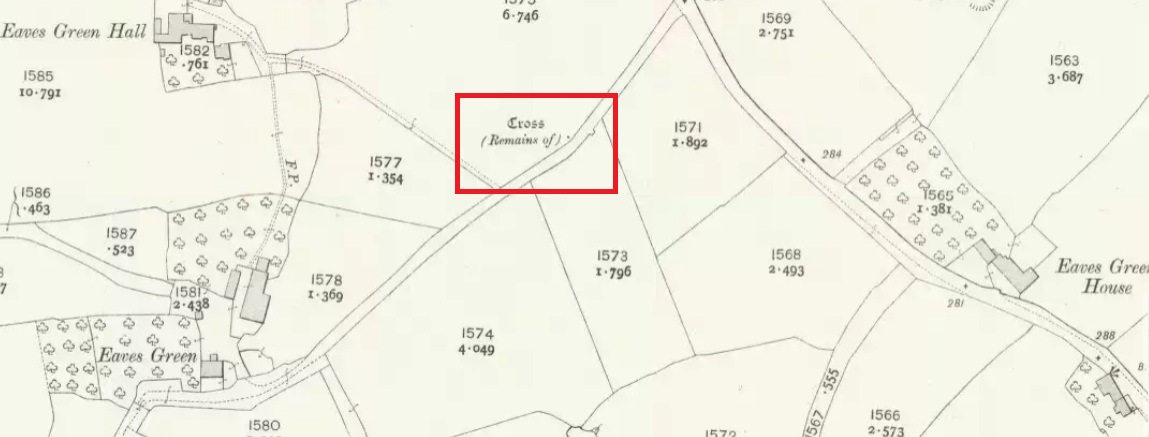
This cross was not mentioned in the 1906 edition of Henry Taylor’s Ancient Crosses andHoly Wells of Lancashire, but was nevertheless marked on the 1910 25″ OS map (the earliest at my disposal) as “Cross (Remains of)”
The 1910 25″ OS Map
In 1958, the Ministry of Works Field Investigator commented: “The socket stone of a probable way-side cross situated on rising ground in a pasture field adjoining a lane. It measures 0.8m by 0.7m and is 0.9m high with a socket 0.2m by 0.15m and 0.2m deep. There are no traces of a cross or shaft.”
To locate the Cross, turn round 180º from this spot.
The current official description describes the remains as “Now missing”…
Well, no! – the intrepid TNA investigator has located it, buried deep in the boscage of a holly and ivy hedge, but he was lucky that the hedge had been very recently trimmed and he made his visit in late winter…
The Cross is registered on the Milestone Society Repository under reference: LAPR_GOO02.
At the roadside, on the south side of Barton Lane, where it crosses the minor road joining Cross House Farm and Barton House, you’ll see the Barton Cross standing upright. You can’t miss it!.
Archaeology & History
Carved stone cut to shape
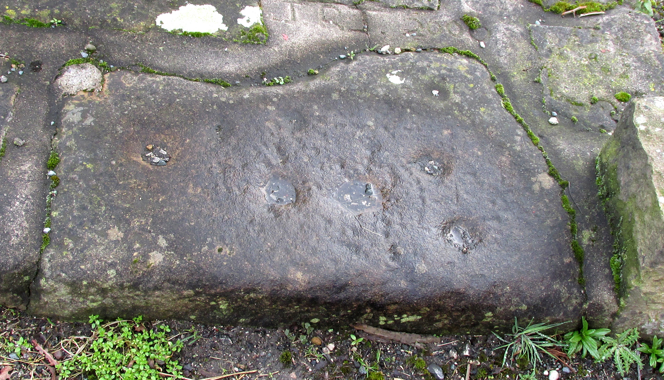
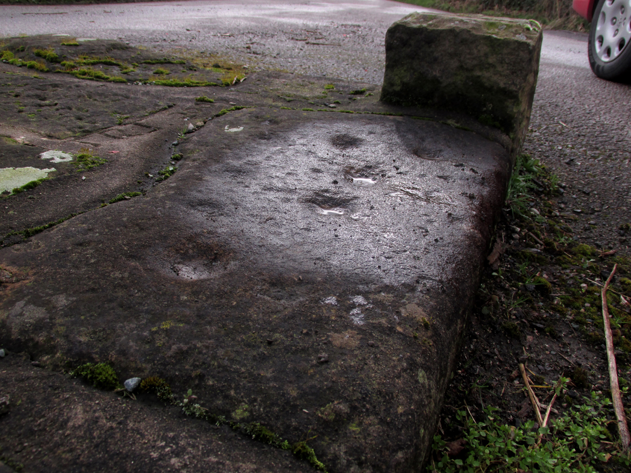
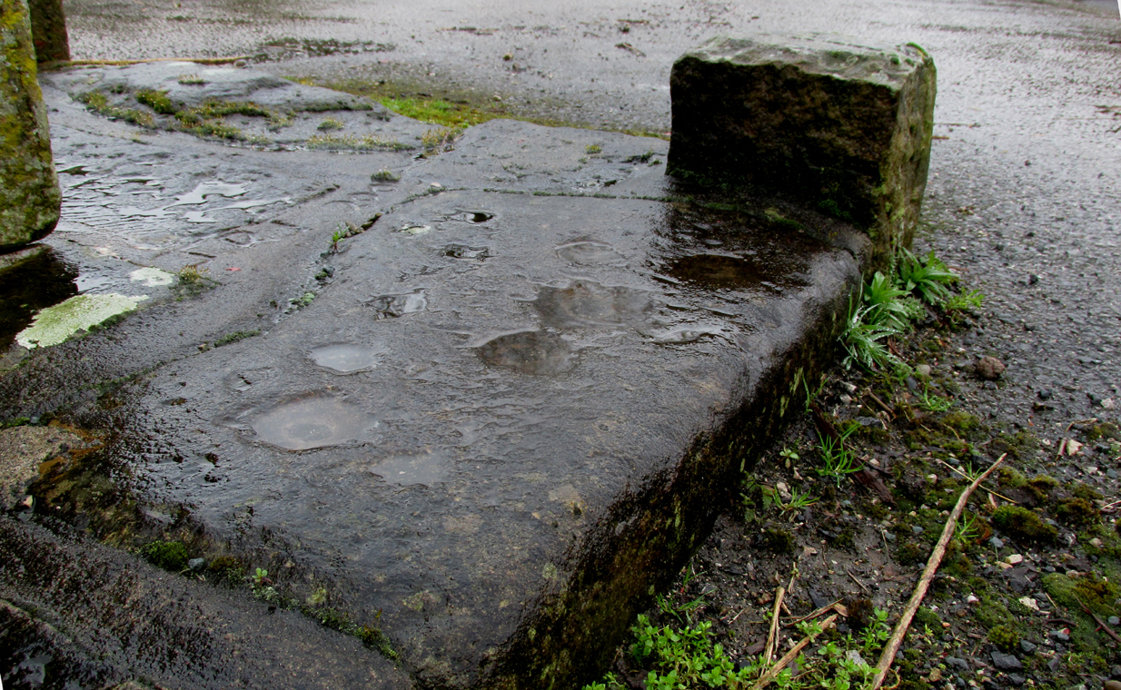
Apparently never before described, this stone has very likely been removed from another locality and cut to shape to form part of the surrounding platform base to Barton Cross, where it is at the southwest corner. It has ten cup marks.
Until or unless more such stones are located, it is a unique example of rock art in this part of Lancashire.
Nine cups visible here10th cup nr camera, after rain
Henry Taylor, in his 1906 work The Ancient Crosses and Holy Wells of Lancashire writes inter alia about the Barton Cross that it had been demolished sometime after 1848, and that the base and part of of the Cross shaft had been ‘lately restored to the old site‘. Thus the cup-marked stone may or not be in its original position as part of the Cross surround, and may have just been a conveniently available slab of stone that was used, rather than a deliberate use of a pre-existing sacred stone.
References:
Taylor, Henry, The Ancient Crosses and Holy Wells of Lancashire, Sherratt & Hughes, Manchester, 1906.
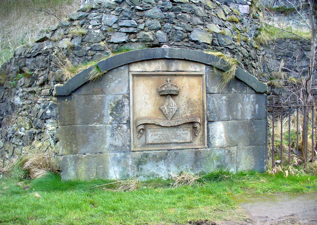
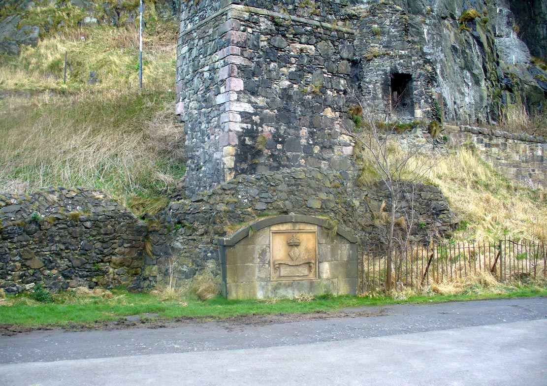
Along the more western end of Princes Street, looking up at the castle, wander into the park below and walk towards the railway line. There’s a foot-bridge over it. Once on the other side, turn right and walk along the path for just over 100 yards until you’re just about beneath the cliffs. There, in front of you, a ruinous stone building and carved faded plaque reads “St Margaret’s Well.”
Archaeology & History
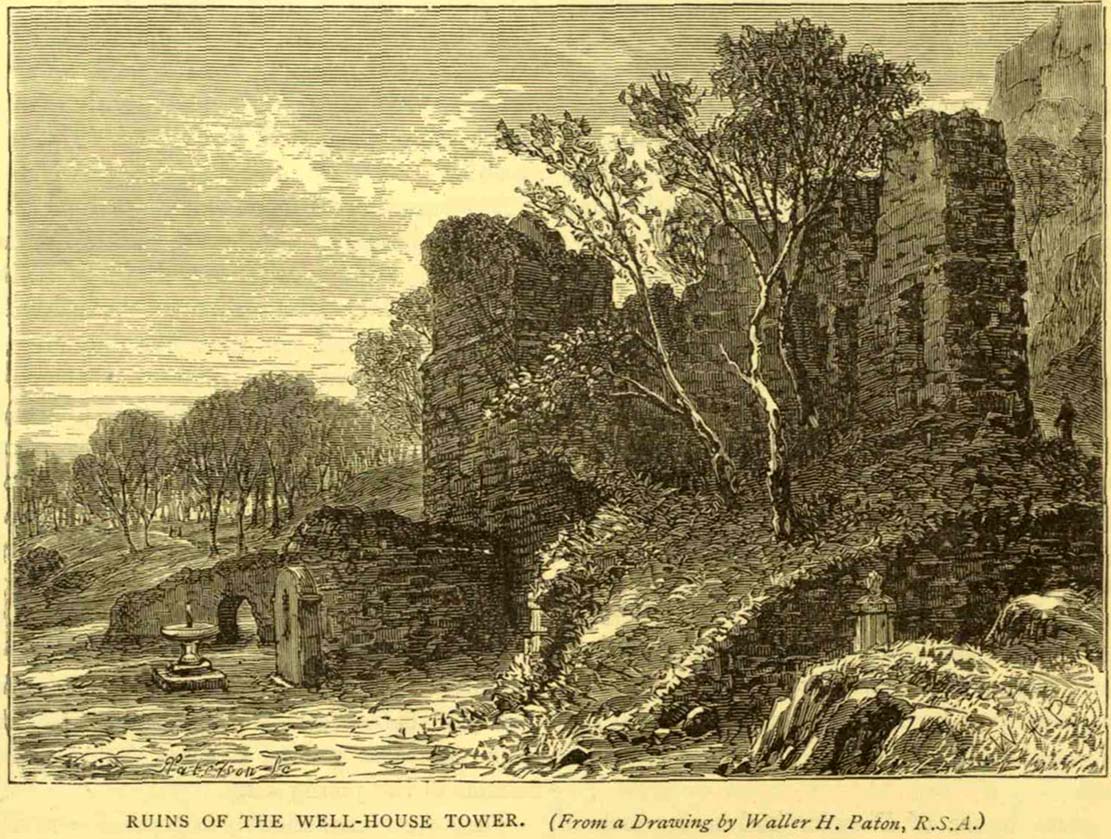
The bedraggled architectural remnants we see of St. Margaret’s Well today, is not where the waters originally emerged. We must travel 2-300 hundred yards west of the present edifice, along old Kings Stables Road near St Cuthbert’s Church, for its original position. Long since gone of course…
Close-up of plaqueSt Margarets, by the old ruins
The history of this holy well tends to be found scattered in a number of sources—but none give us a decent narrative of its medicinal or traditional lore. Perhaps the best was conferred in W.M. Bryce’s (1912) lengthy essay on St. Margaret’s chapel where he told:
“Of the fountain in West Princes Street Gardens, also known as St. Margaret’s, and for the protection of which the Well-house Tower was erected in 1362, no legend of a similar nature seems to have survived. It was a little flowing stream of pure water, and down to the year 1821 was utilised for drinking purposes for the supply of the garrison, in supplement of the ancient draw-well of the Castle. The earliest notice of this fountain appears in a charter by David I in favour of the Church of St. Cuthbert, dated circa 1127, in which he conveys the land under the Castle from the fountain which rises close to the corner of the King’s Garden, and along the road leading to the church. It was here, in this royal garden, beside the pellucid waters of the well which was afterwards to bear her name, that Queen Margaret, in the company of her husband and children, spent many a sunny afternoon under the shade of the rugged old Castle rock.”
St Margarets Well in 1870s
The carved plaque in front of the old tumbled-down well-house sadly hides no water anymore; merely some trash and heroin-addicts needles at the back. Best avoided.
Folklore
This Scottish Queen and consort of King Malcolm Canmore, ‘St Margaret’, had several days in the calendar on which she was commemorated. Mrs Banks (1941) told how, traditionally, her day is June 10:
“This day was appointed for her festival by papal decree, but in Scotland her day is that of her death, November 16. The festival of her translation was commemorated on June 19th.”
W.M. Bryce (1912) cited St Margaret’s Day to be generally accepted as June 19, which is closer to Midsummer and could easily be accommodated into local heathen traditions.
References:
Banks, M. MacLeod, British Calendar Customs: Scotland – volume 3, Folk-lore Society: London 1941.
Royal Commission on the Ancient & Historical Monuments, Scotland, Inventory of the Ancient & Historical Monuments of the City of Edinburgh, HMSO: Edinburgh 1951.
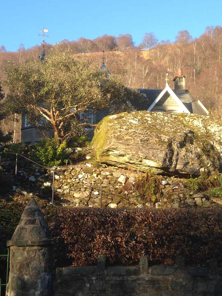
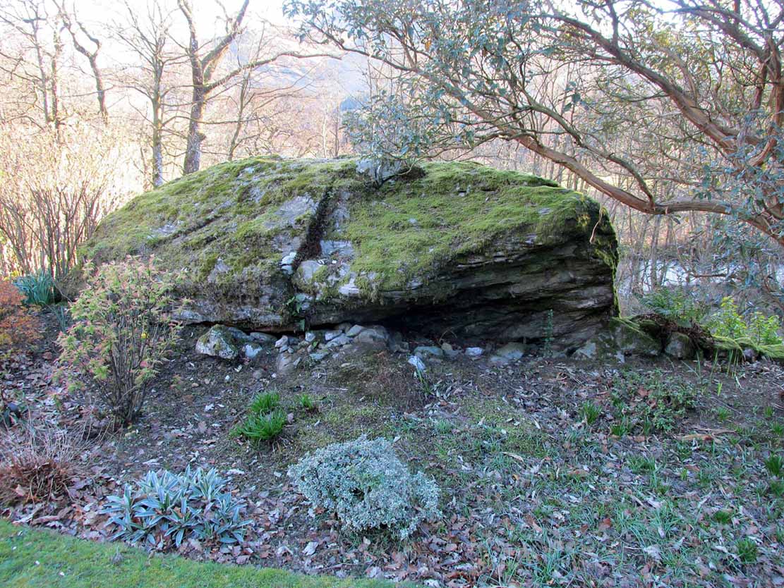
Along the A85 road at the east-end of Lochearnhead, head out of the village east towards Comrie. Just above the main-road, maybe 50 yards after passing the small road to St Fillan’s Golf Club, on the north side of the road you’ll see a huge boulder resting in the edge of the garden of the large detached house that was known as The Oaks. That’s the fella!
Archaeology & History
Clach na Ba, from the rear
Almost fallen out of history, oral tradition has thankfully kept the name and brief history of this huge boulder alive. Found in association with the prehistoric standing stones just yards away, the Clach na Ba lives beside the ancient drover’s road (and probable prehistoric route before that) just yards east of the old cottage known as Casetta. This occupies a site where an old toll-house stood, and the drovers would have to stop and pay a toll before continuing onwards past the Clach na Ba, or Stone of the Cattle.
Folklore
When the drovers passed their highland cattle here, the animals rubbed themselves against the stone to ensure good health and fertility (as well as just having a good scratch, no doubt).
References:
Porteous, Alexander, Annals of St Fillans, David Philips: Crieff 1912.
Acknowledgements: With huge thanks to Nina Harris and Paul Hornby for the day out and for use of their photos in this site-profile; and to the lovely couple (we didn’t get their names – soz) who live in the house behind the Clach na Ba, for their help with the fascinating local history .
Healing Well (destroyed): OS Grid Reference – NT 314 735
Archaeology & History
This was one of two medicinal springs that could once be found in old Portobello village. Like its companion Chalybeate Well nearly a mile northwest, in the early 19th century those entrepreneurial types tried fashioning these waters into being a Spa Well. It didn’t really work and the fad passed after just a couple of decades—and soon after the local people had completely lost their water supply here. The best historical account of it is in William Baird’s (1898) magnum opus on Portobello. He told how the well,
“was, at the beginning of the century, situated in a garden near to the main road, where there was a well with drinking cups for the accommodation of visitors, a small sum being charged from those using it. The supply here having in some way become interrupted the spring was neglected for a time. It found vent, however, lower down and nearer to the Promenade at the foot of Joppa Lane. About fifty years ago there was a pretty large open basin, in the centre of which the water bubbled up about half a foot. It was of a red brick colour. Unfortunately on the starting of a pump on the Niddrie Bum to drain the water from the Niddrie coal pits, the supply of water was again interrupted, and this excellent mineral spring, which was strongly impregnated with oxide of iron and sulphate of lime and magnesia, ceased to flow with its former fulness.”
In 1869, the Industrialists dug into the Earth to construct their promenade and, after countless centuries, the waters of this old medicinal well finally died and fell back into the deep Earth…
From the west end of Prince Street in Edinburgh central, take the (A90) Queensferry Road. Go along here for 2.2 miles (3.5km) where the A90 meets the A902. Keep going west along Hillhouse Road for literally 1km (0.62 miles) where you reach a crossroads with the B9085 and there are trees on the right (north) side of the road. Go into these trees and, before you come out into the fields on the other side, about 150 yards in, walk to your right and zigzag about in the undergrowth. A small muddy pond is what you’re looking for!
Archaeology & History
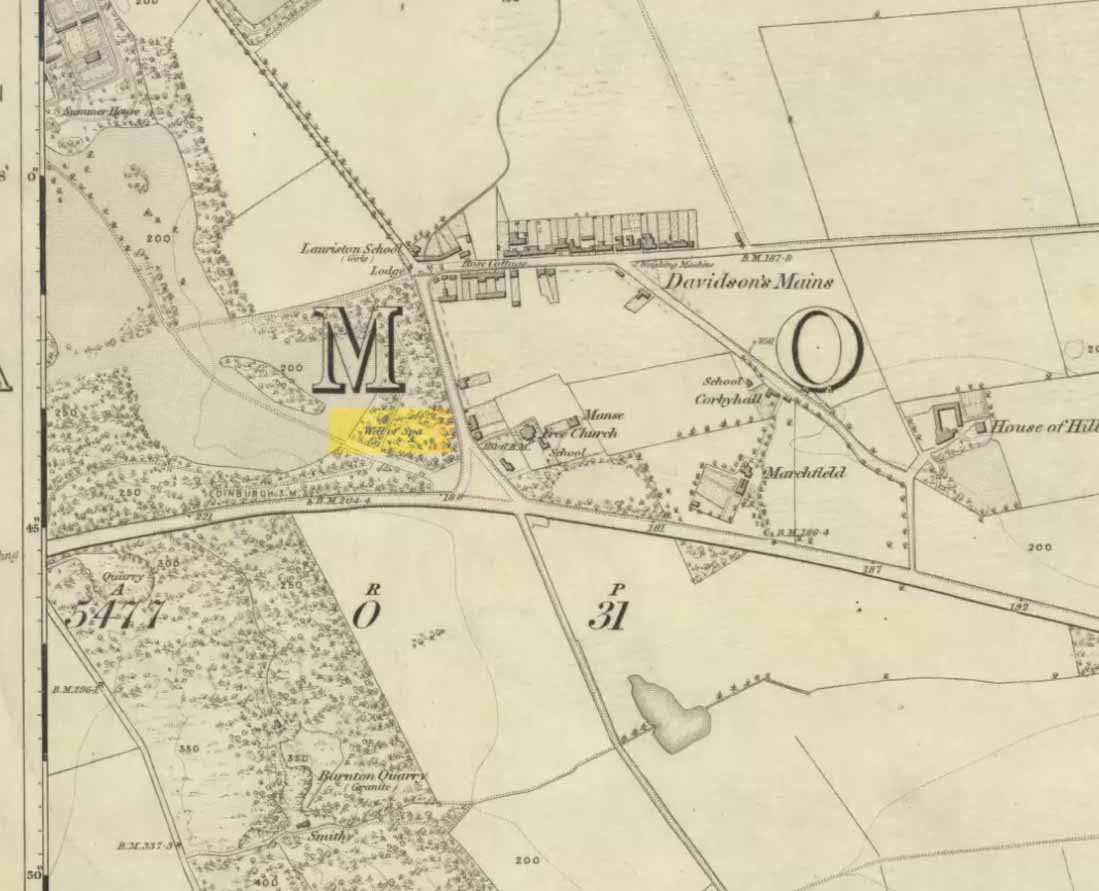
Out towards old Lauriston Castle on the northwestern outskirts of the city, these all-but forgotten healing waters became renowned for a short period of time in the latter-half of the 18th century. They were described in John Law’s Parish of Cramond (1794) where, with some brevity, he told that,
“On the lands of Marchfield is a spring of mineral water called the well of Spaw, reckoned beneficial in scorbutic cases, and highly purgative if drunk copiously.”
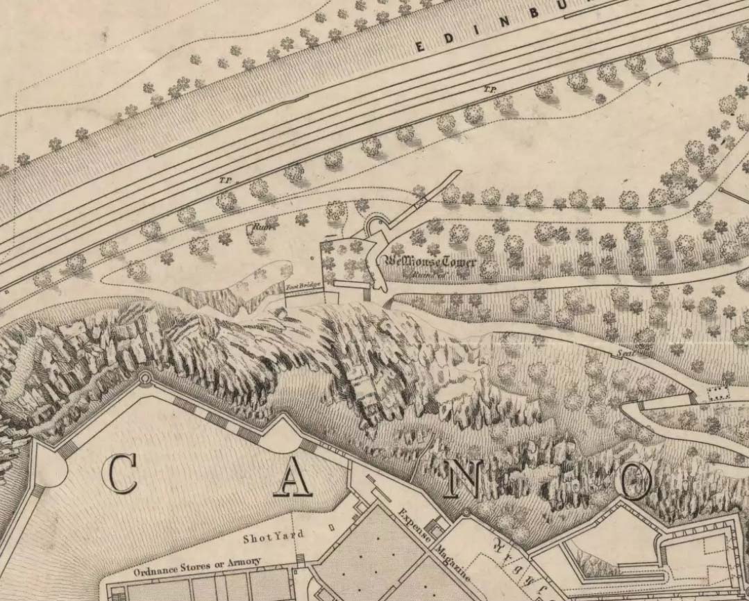
It was highlighted in the trees on the earliest OS-map (above) and its ruined remains can still be found. Stone-lined, the watery remains of this old healing well (undoubtedly a place used by local people before the toffs named it as a ‘spa’) are thankfully still running. Two other spa wells could be found not far away: one at Lauriston castle, and the other at Barnton.
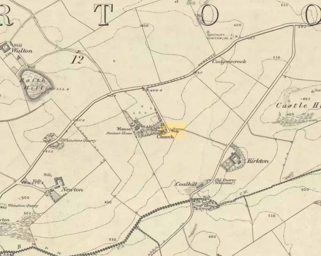
Along the B925 road between Dunfermline and Kirkcadly, ⅔ of a mile (1.07km) west of Auchtertool village, go down the small track leading down to the isolated church on the rise in some trees. Walk through the churchyard and out the other side where a small footpath runs downhill. 50-60 yards along, by the walling, this holy well is/was said to be.
Archaeology & History
Both history and tradition are pretty shallow on this all-but-forgotten site, which Penny Sinclair guided us to see in the summer of 2016. Sadly the entire area where the waters are reported to emerge were completely overgrown in nettles when we visited and, despite us trampling the Urtica down, we could find no remains of the spring. (the Church and its followers here should ensure that the well is properly maintained)
The greatest description of the site seems to be that given by William Stevenson (1908) in his rare work on the parish of Auchtertool. He wrote:
“As you approach the Kirk of Auchtertool by the old road…you come upon a well by the wayside. For many years it was the well that supplied the Manse with water, but it is now seldom used, even by the passing traveller. There is a belief that at one time this well was what is known as a holy well. Be that as it may, a friend of the late Rev. Walter Welsh, the late Dr Robert Wilson, caused a stone over the well to be inscribed with the following lines:
“Ye who the gently-winding path have trod,
To this fresh fount beside the house of God,
Taste the clear spring; and may each pilgrim know
The purer stream where living waters flow.””
The well was included in Ruth & Frank Morris’ (1982) survey, where they added that the waters from the well were “used in celebration of the mass.”
Tumulus (destroyed): OS Grid Reference – SP 8601 7510
Archaeology & History
According to a Mr Abner Brown (1846), this was one of two prehistoric cemeteries that once existed in Pytchley village, but very little seems to have been written about it. Found on the north side of the village in the field where an old limekiln once stood, this “apparently pagan” site was “about 350 yards northwards of the church.” From his brief description it seems that a large barrow here was accompanied by other smaller ones of the same period. They have all been destroyed.
Royal Commission Ancient & Historical Monuments, An Inventory of the Historic Monuments in the County of Northamptonshire – volume 2, HMSO: London 1979.
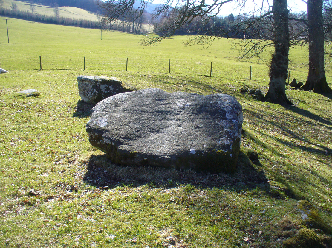
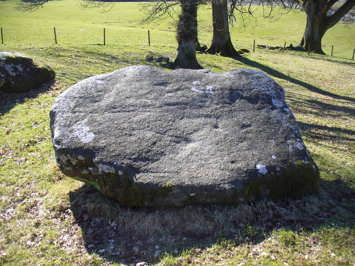
Follow the same directions for the Croft Moraig stone Circle. Then check out the largest of the fallen or elongated stones on the northwest side of the ring, with a smoothed sloping surface, just at the side of the overgrown stone platform on which it rests. Y’ can’t really miss it.
Archaeology & History
When William Gillies (1938) wrote about the carvings at the Croft Moraig stone circle, he told how, previously, Fred Coles,
“noticed that several of the upright stones…show cup-markings on their perpendicular surfaces. Some of these are quite distinct, but others are so worn through weathering that they can only be traced with the fingers.”
Stone D, with faint cupsClose-up of the cupmarks
This is one of them. Barely visible at the best of times, the cup-markings are faded and very hard to see unless daylight conditions are just right. As you can see in the photos, several distinct cup-like impressions are visible, but it only appears that two of them are cup-marks. The others seem to be more geophysical in nature – but I’d love to be wrong!
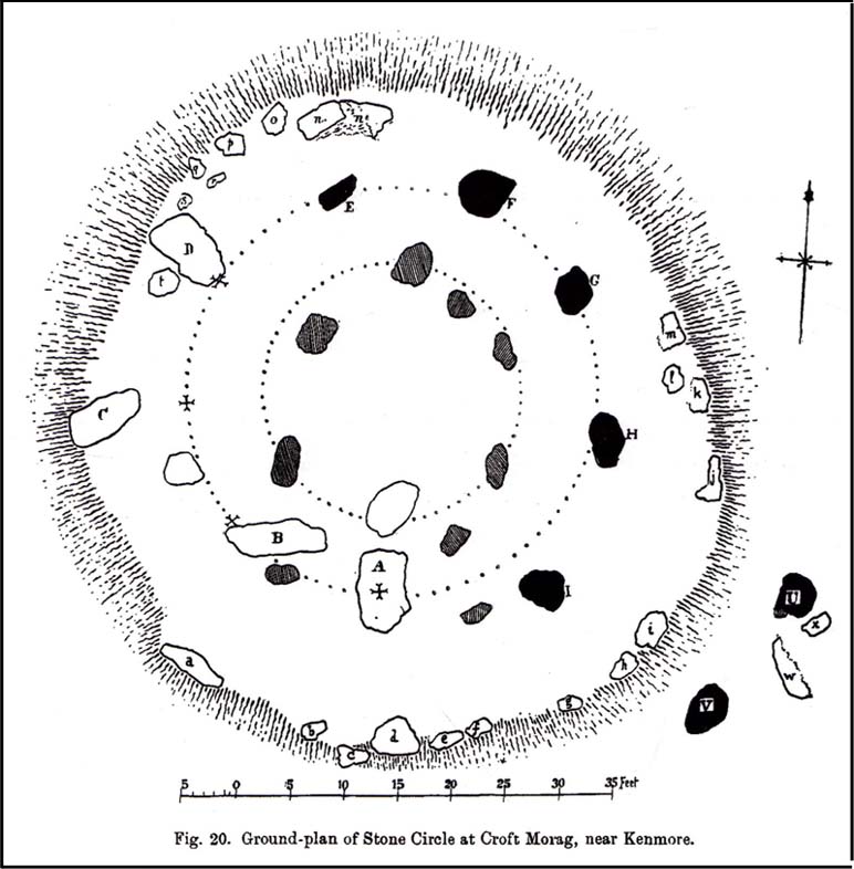
The great northern Antiquarian Fred Coles (1910) noted that this particular stone (stone D in his ground-plan of the circle) had “been polished by the sliding of generations of children”. This playful action on stones elsewhere in the UK and around the world sometimes relates to fertility rites (i.e., the spirit of the stone could imbue increased fertility upon the practitioner), but Mr Coles made no mention of such rituals here.
Gillies, William A., In Famed Breadalbane, Munro Press: Perth 1938.
Yellowlees, Sonia, Cupmarked Stones in Strathtay, Scotland Magazine: Edinburgh 2004.
Acknowledgements: Many thanks to hardcore crew for our various visits here: to Paul Hornby, Lisa Samson, Fraser Harrick, James Elkington, Penny & Thea Sinclair.
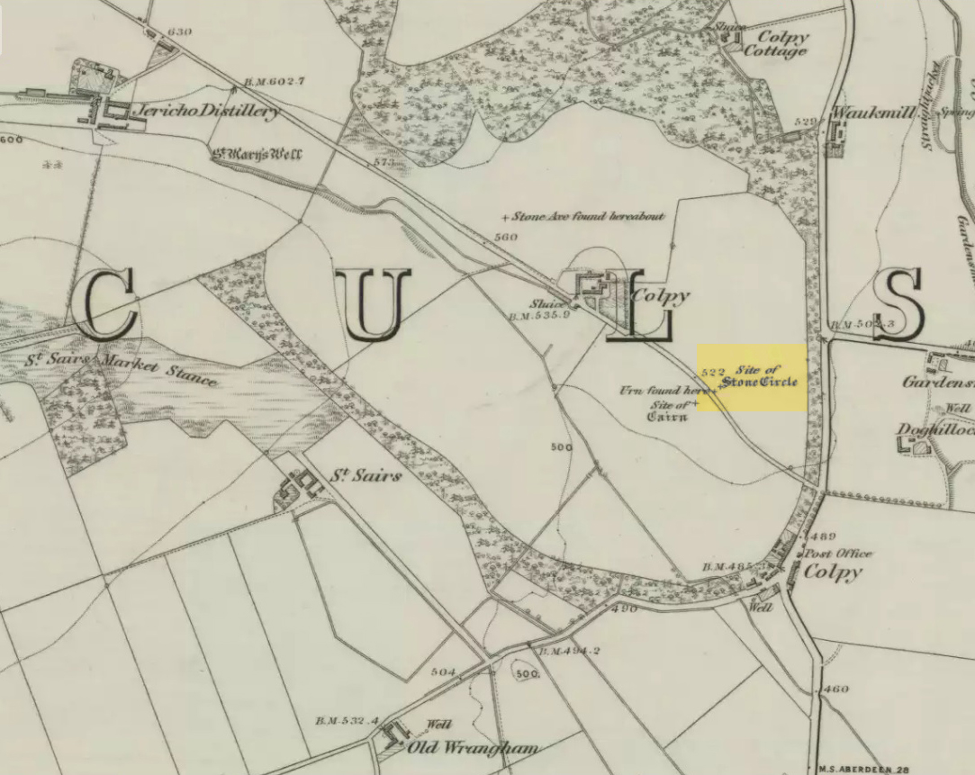
Just like the stone circle a half-mile east at Kirkton of Culsalmond, nothing now remains of this megalithic ring. It was first described very briefly by Rev. F. Ellis (1845) in the New Statistical Account as a “druidical temple”: one of two hereby, “on the farm of Colpie, although now almost obliterated. Several urns were dug up in making a road near one of them”—implying that one of them was a cairn circle or funerary monument of some kind. This was subsequently affirmed on the early OS-map and then described in Fred Coles’ (1902) survey, where he wrote:
“Site of a stone circle, the road going to Jericho Distillery having been made through it, and, on the south side of this road, the site of a cairn. Within the possible diameter of the circle an urn was found.”
Folklore
A few hundred yards west of the circle an ancient fair used to be held, known as St Sair’s Fair, named after St Serf. Although St Serf’s Day is July 1, early records show that the fair—held in a long field with the curious name of ‘St Sairs Market Stance’—was to be held on the Wednesday after the last Tuesday in June. For a stone circle, this is too close to Midsummer to be a coincidence! Early records show that the fair was granted in 1591 and subsequent years thereafter.
St Serf is a very peculiar mythological figure with quite shamanistic traits and tales around him. In truth, many of these early saints were little more than lapsed shamans, utilising natural magick and medicine in the olde traditions, but which became grafted onto the incoming christian mythos. The evidence for this is quite overwhelming!
References:
Barnatt, John, Stone Circles of Britain – volume 2, BAR: Oxford 1989.
Browne, G.F., On Some Antiquities in the Neighbourhood of Dunecht House, Aberdeenshire, Cambridge University Press 1921.
Burl, Aubrey, “The Recumbent Stone Circles of North-East Scotland”, in Proceedings Society of Antiquaries, Scotland, volume 102, 1973.
Burl, Aubrey, The Stone Circles of the British Isles, Yale University Press 1976.
Burl, Aubrey, The Stone Circles of Britain, Ireland and Brittany, Yale University Press 2000.