Healing Well: OS Grid Reference – NN 76180 23988
Also Known as:
- Kingcough Well
- Kinkhost Well
- Whooping Cough Well
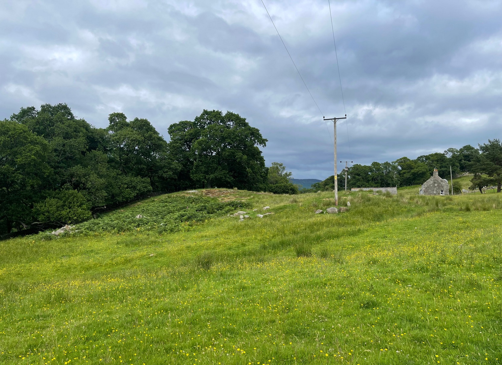
Getting Here
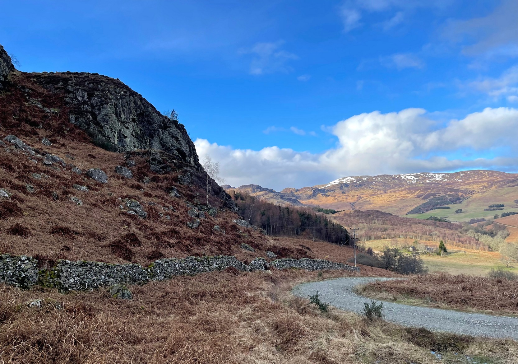
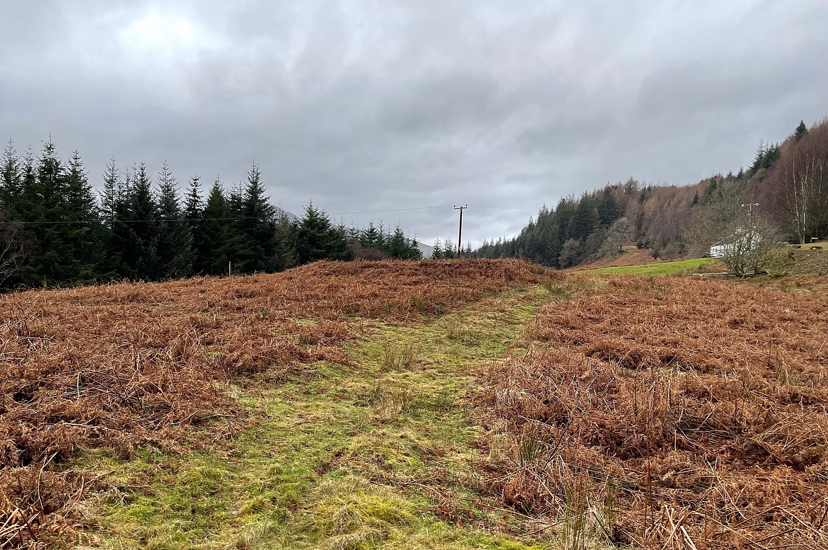
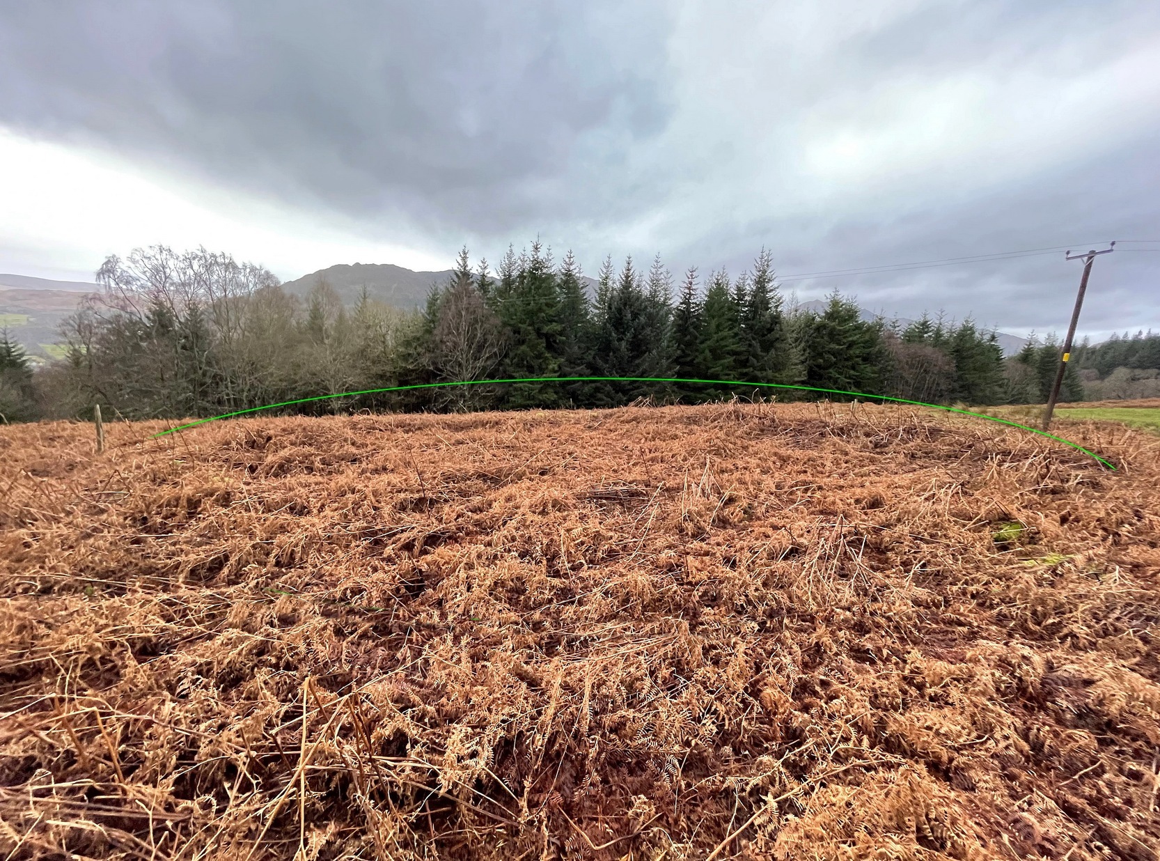
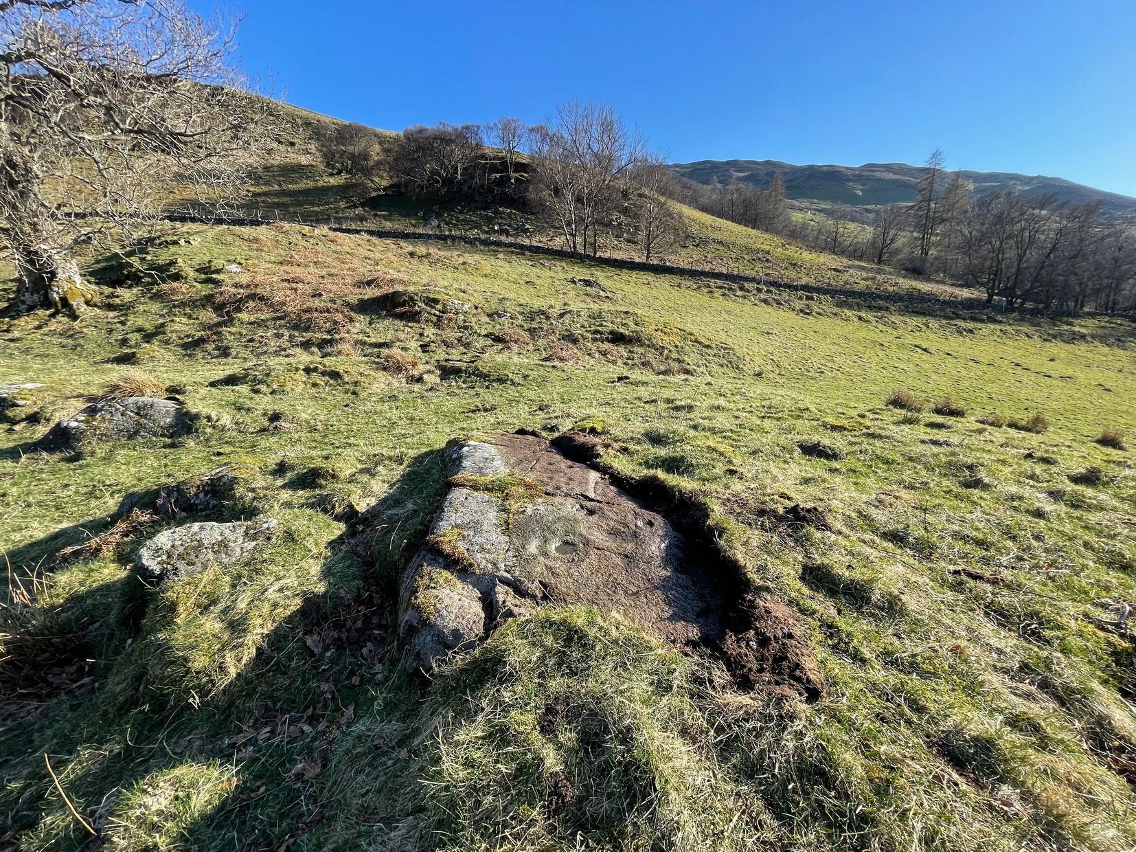
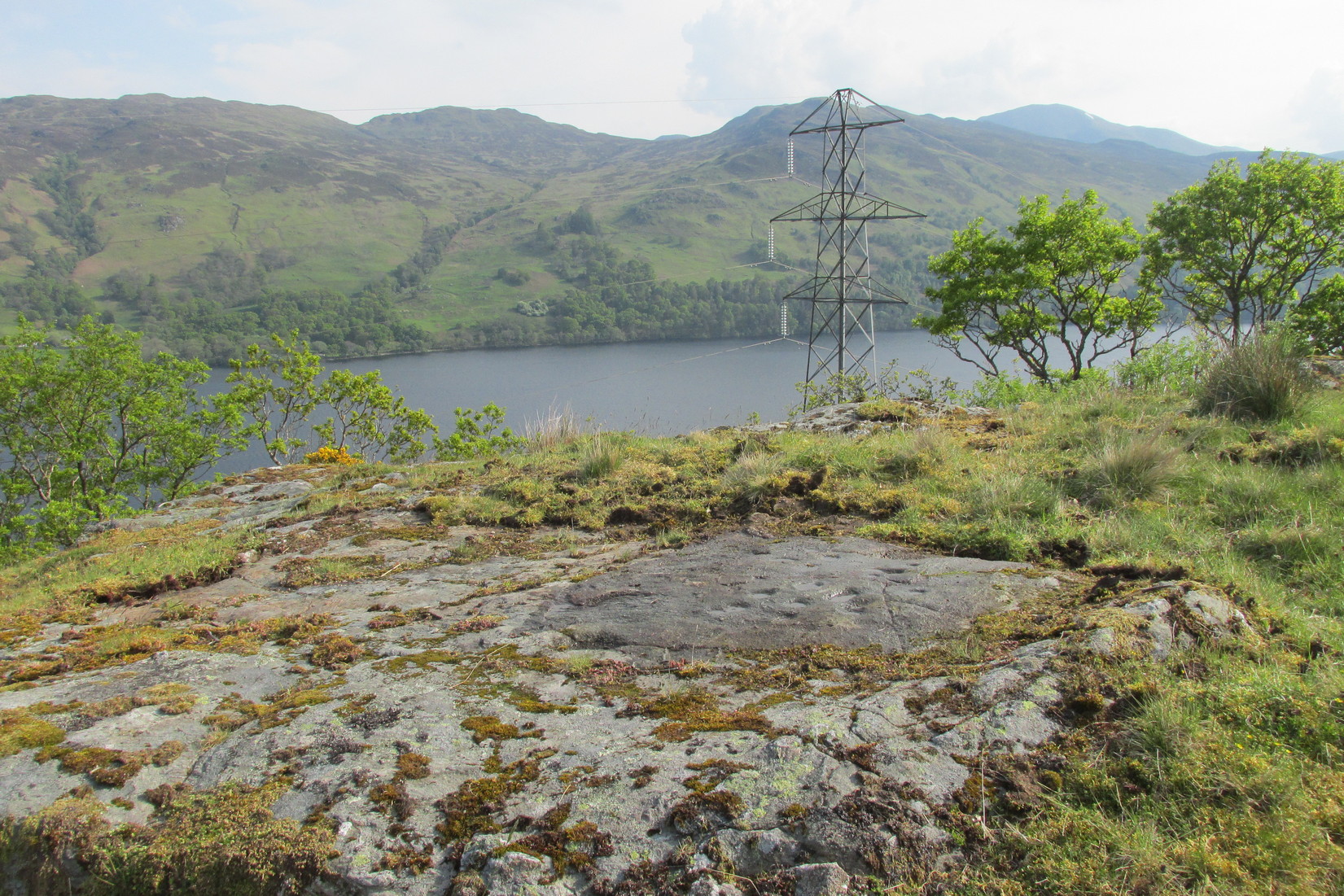
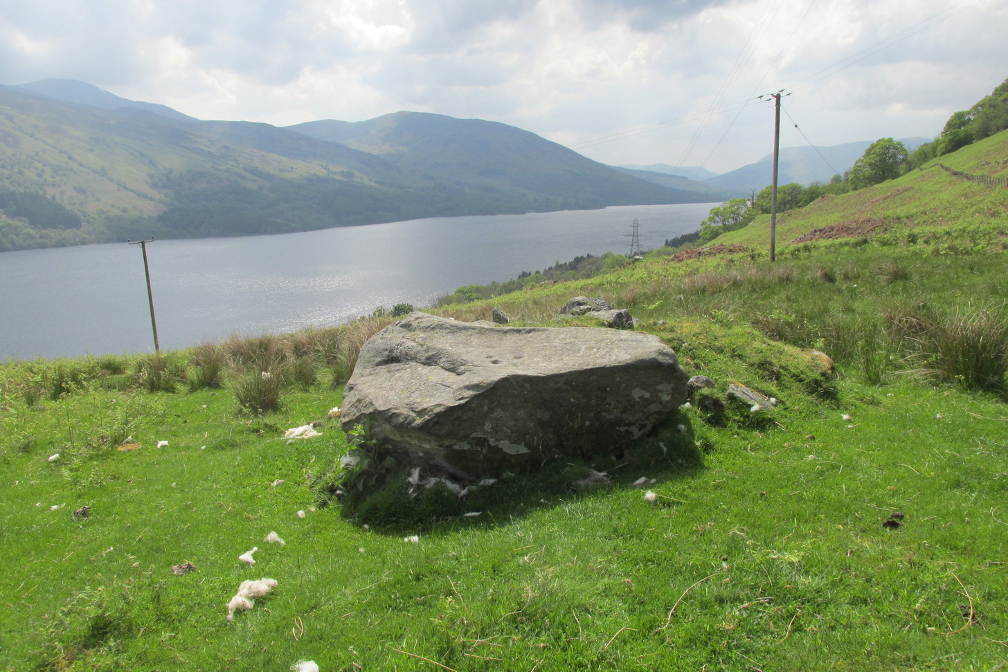
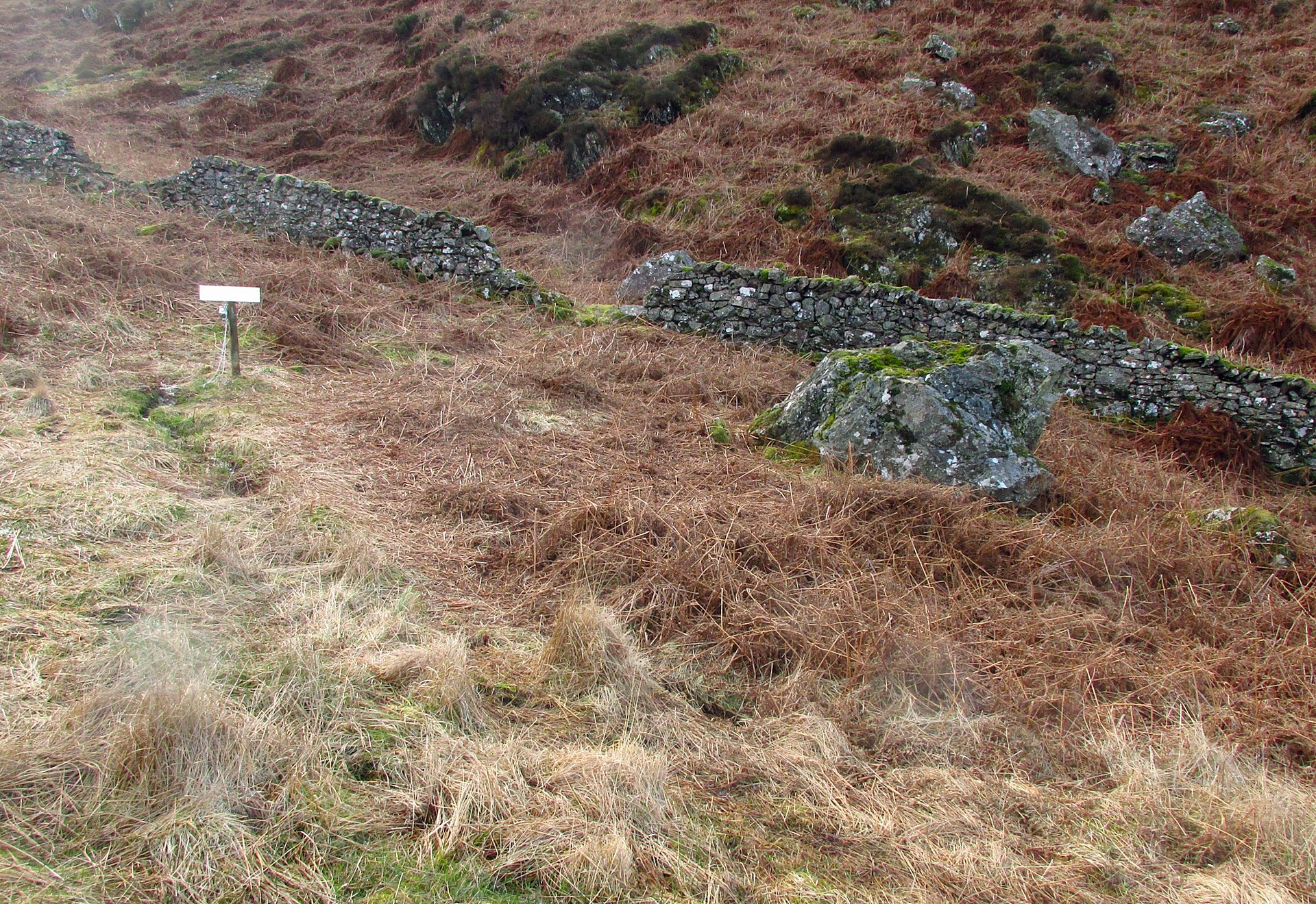
From Comrie village, take the long winding steep road up past the Devil’s Cauldron towards Glen Lednock. After 1½ miles the road begins to level-out and you come out from the trees and about 400 yards along there’s a dirt-track on your left. Park here! OK, now walk further along the road (not the dirt-track) for less than 100 yards and take the footpath up the slope (if this is blocked—it shouldn’t be!—you can walk further along until your reach the next track on your left). Go up this footpath for 200 yards till you reach the track by the large bend; and then walk up it for another 200 yards where there’s another large bend. On your right, past the solitary big rock, you’ll see the sign…
Archaeology & History
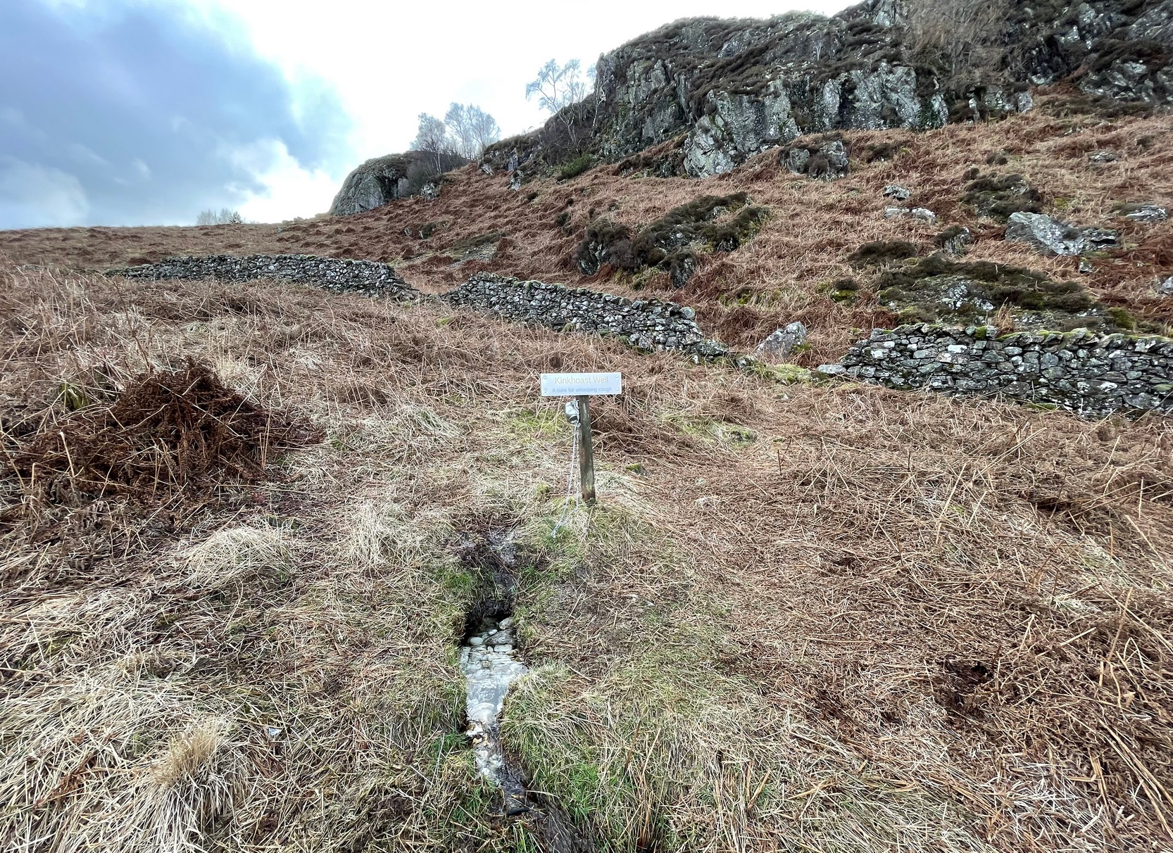
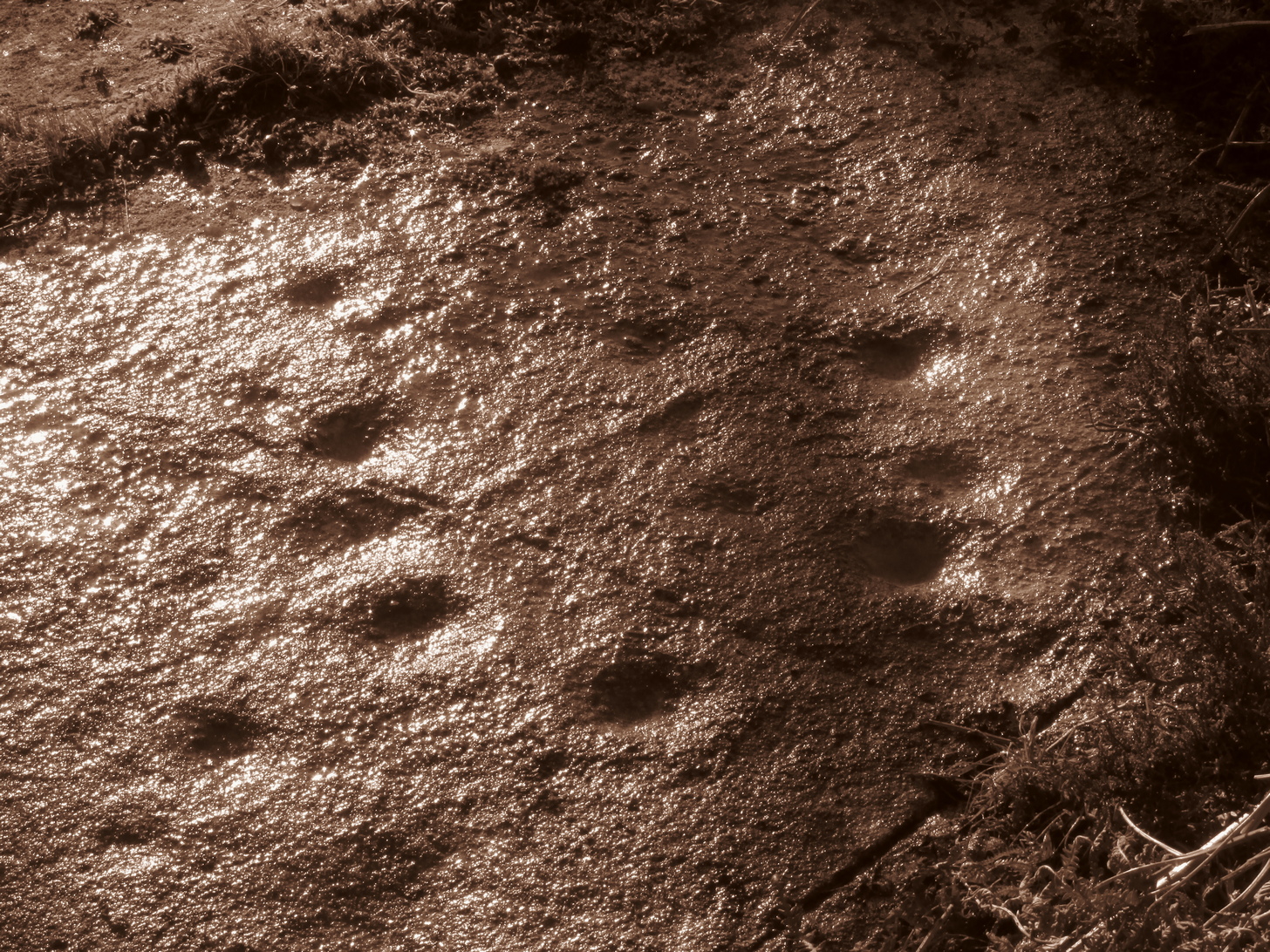
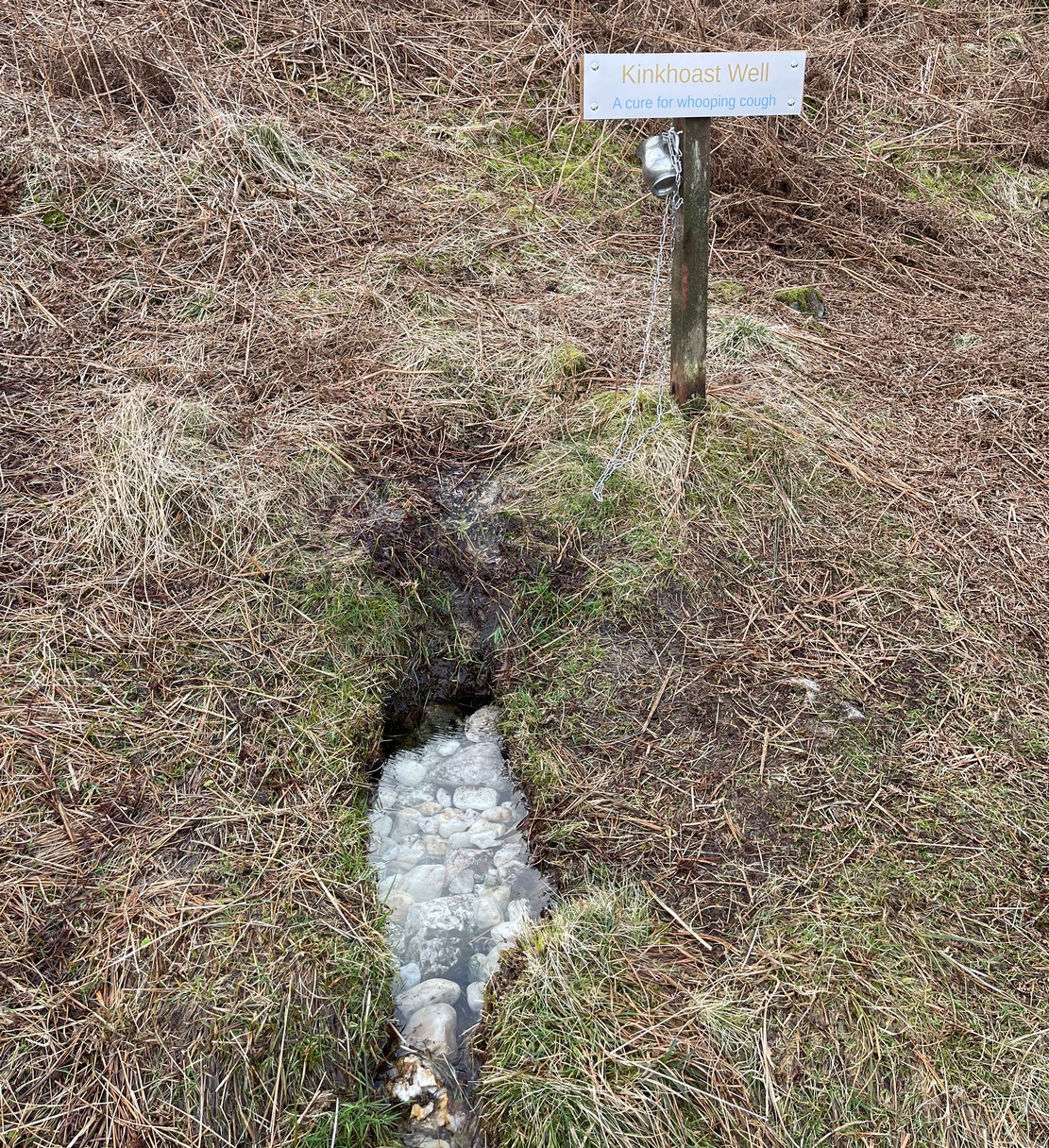
A little-known healing well that all but fell out of existence until, thankfully, some local folks recently decided to revive it. A sign stands above the back of this spring of water as it emerges from the Earth telling you that it’s the Kinkhoast Well. Its clear waters form into a very small pool, wherein are dozen of small white pebbles and and quartz pieces, very smooth and obviously worn by decades, if not centuries, of local folk giving the spirit of these waters—the genius loci—and offering in exchange for its healing virtues in the hope that it cures them of the whooping cough, of which this well is renowned.
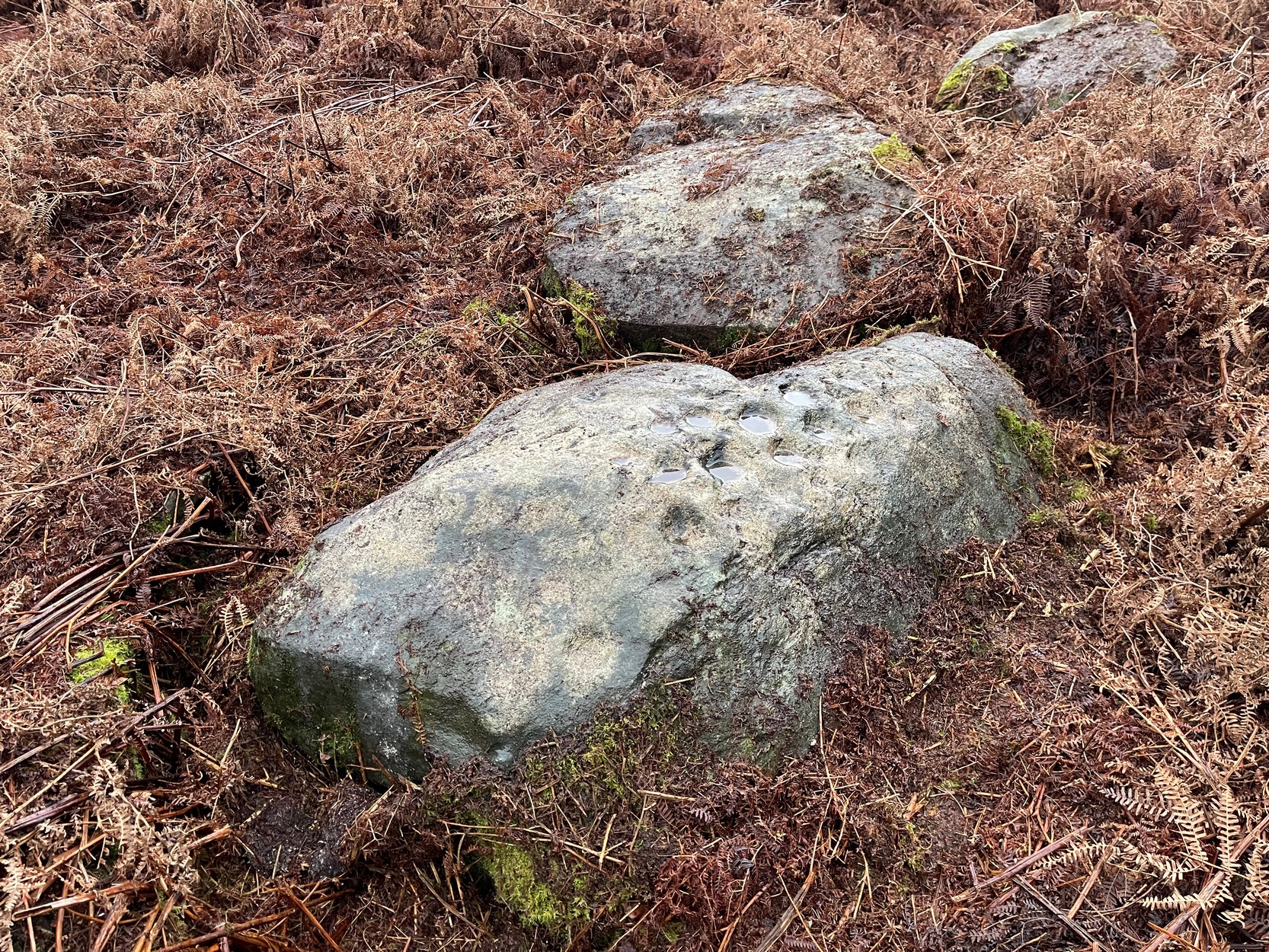
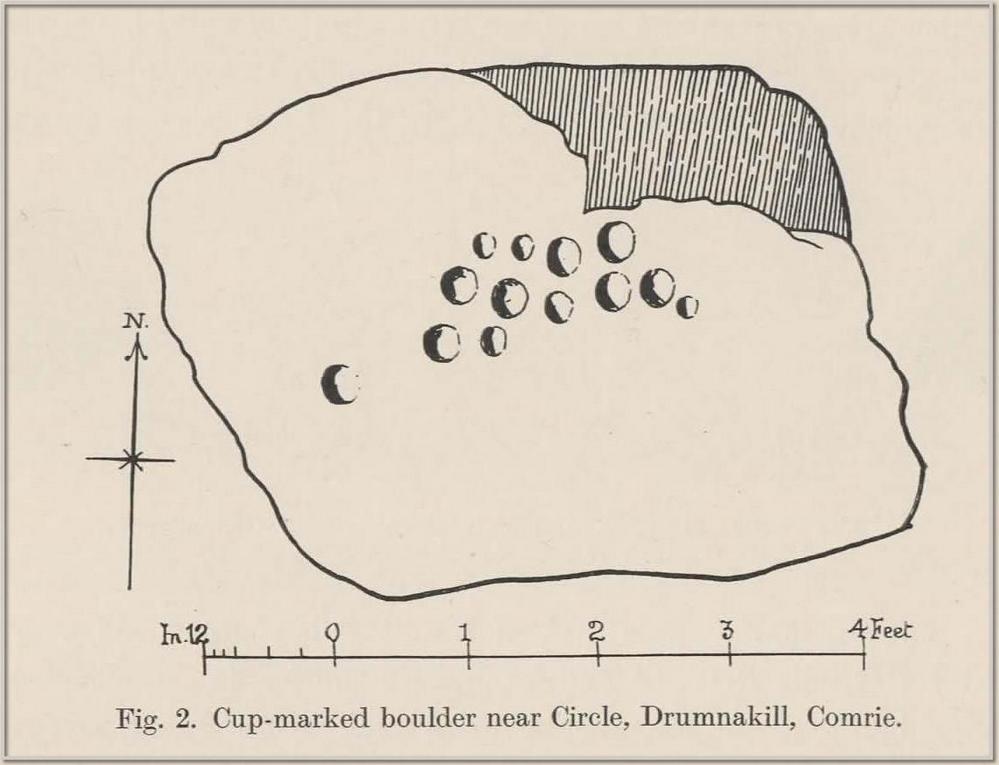
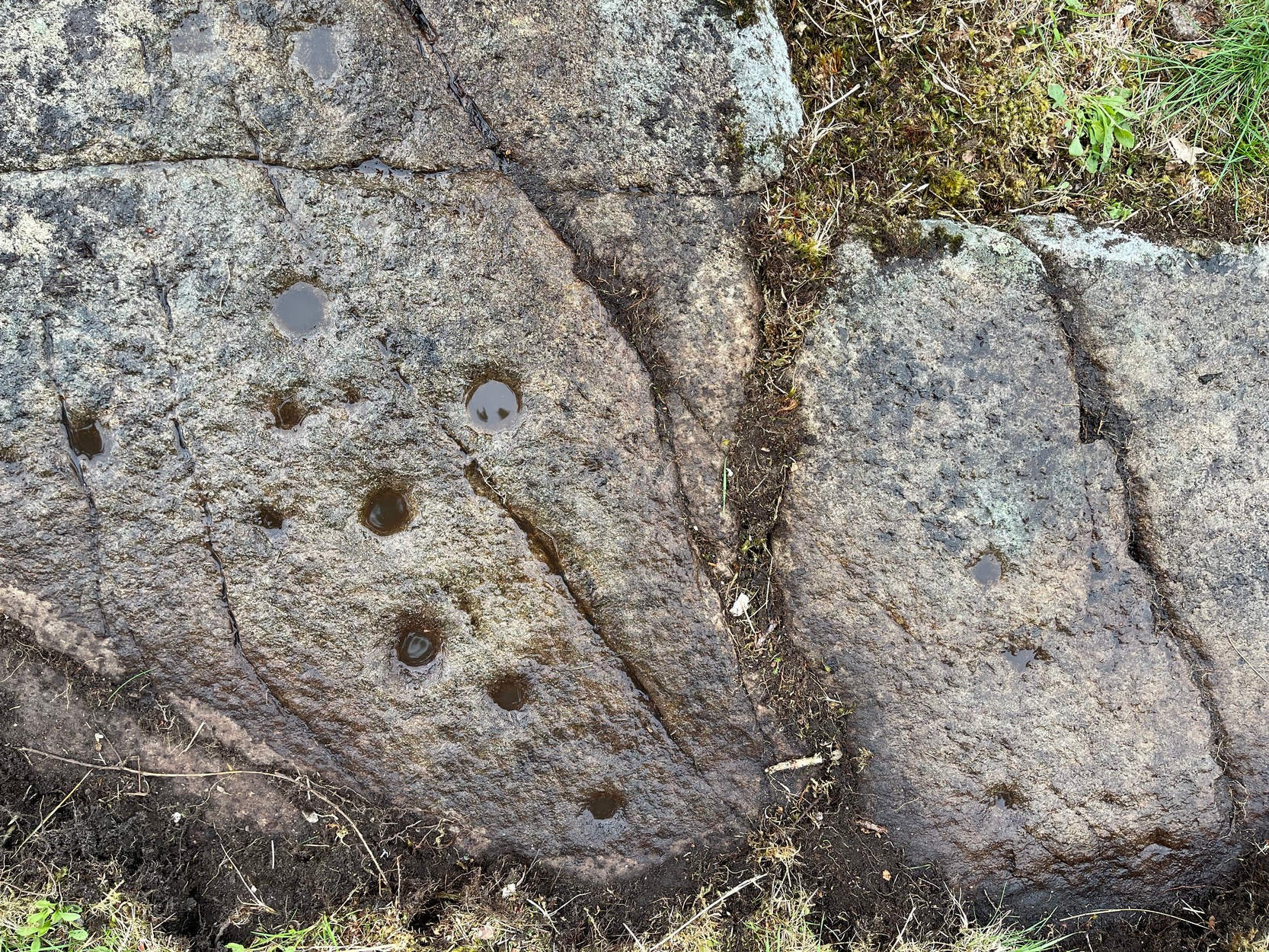
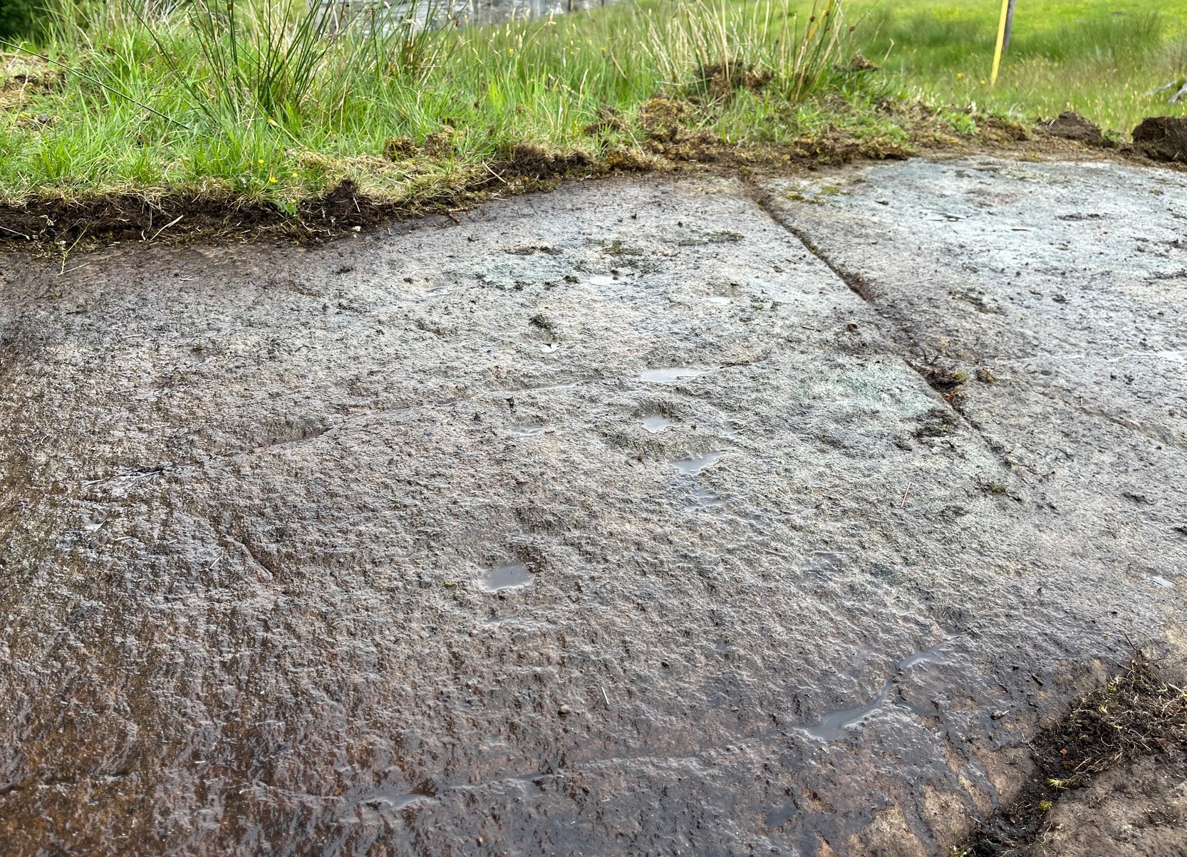
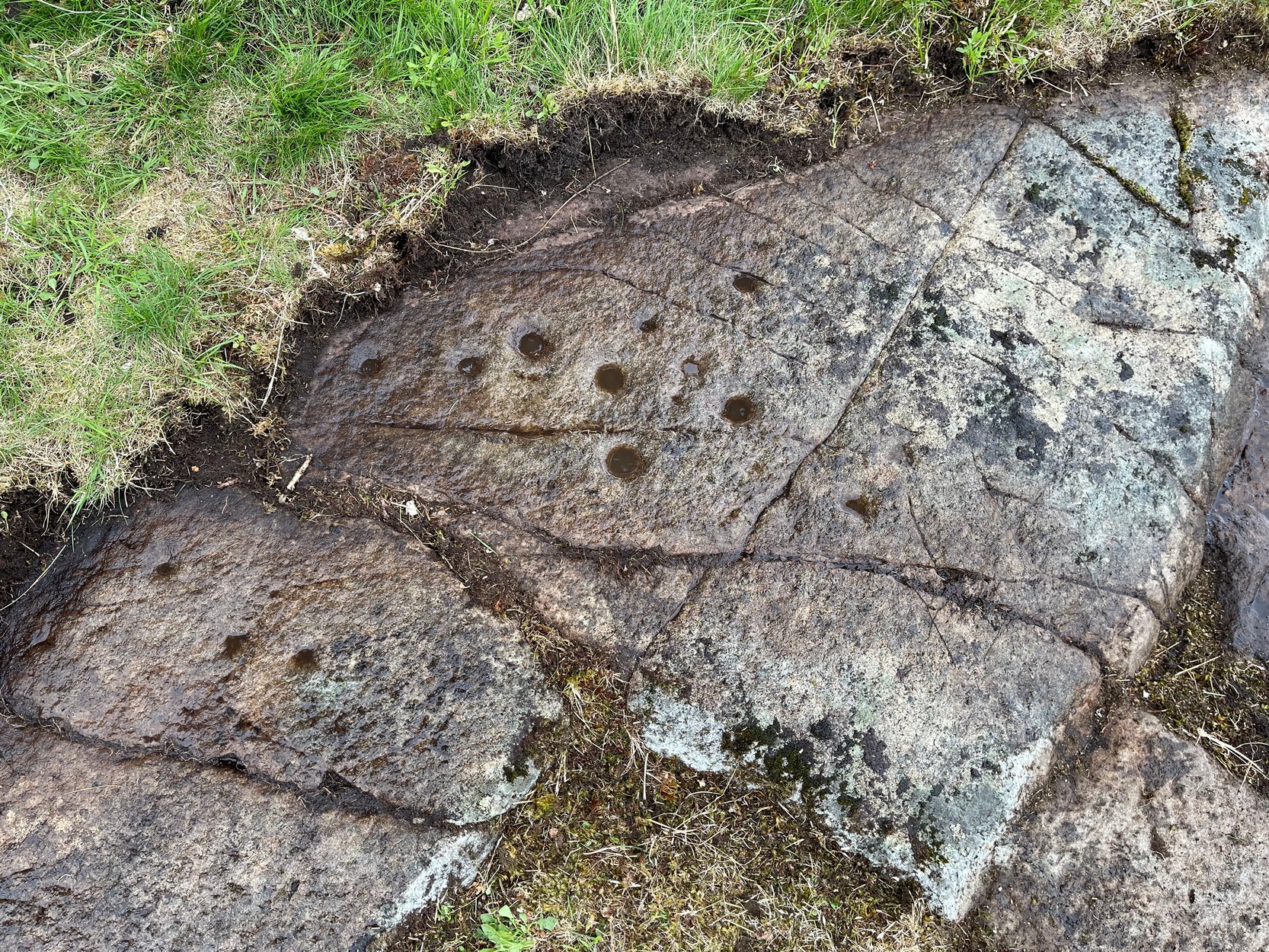
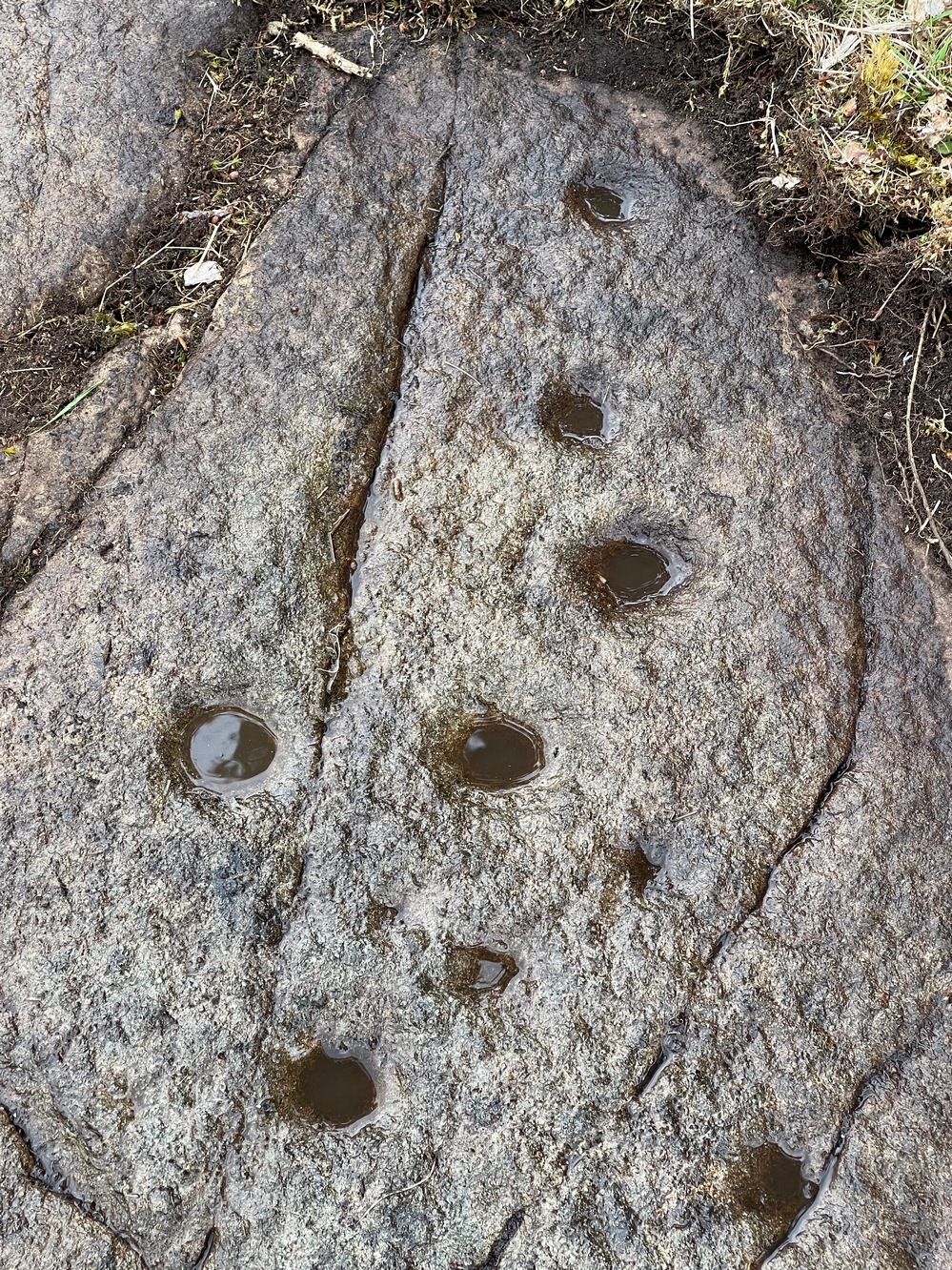
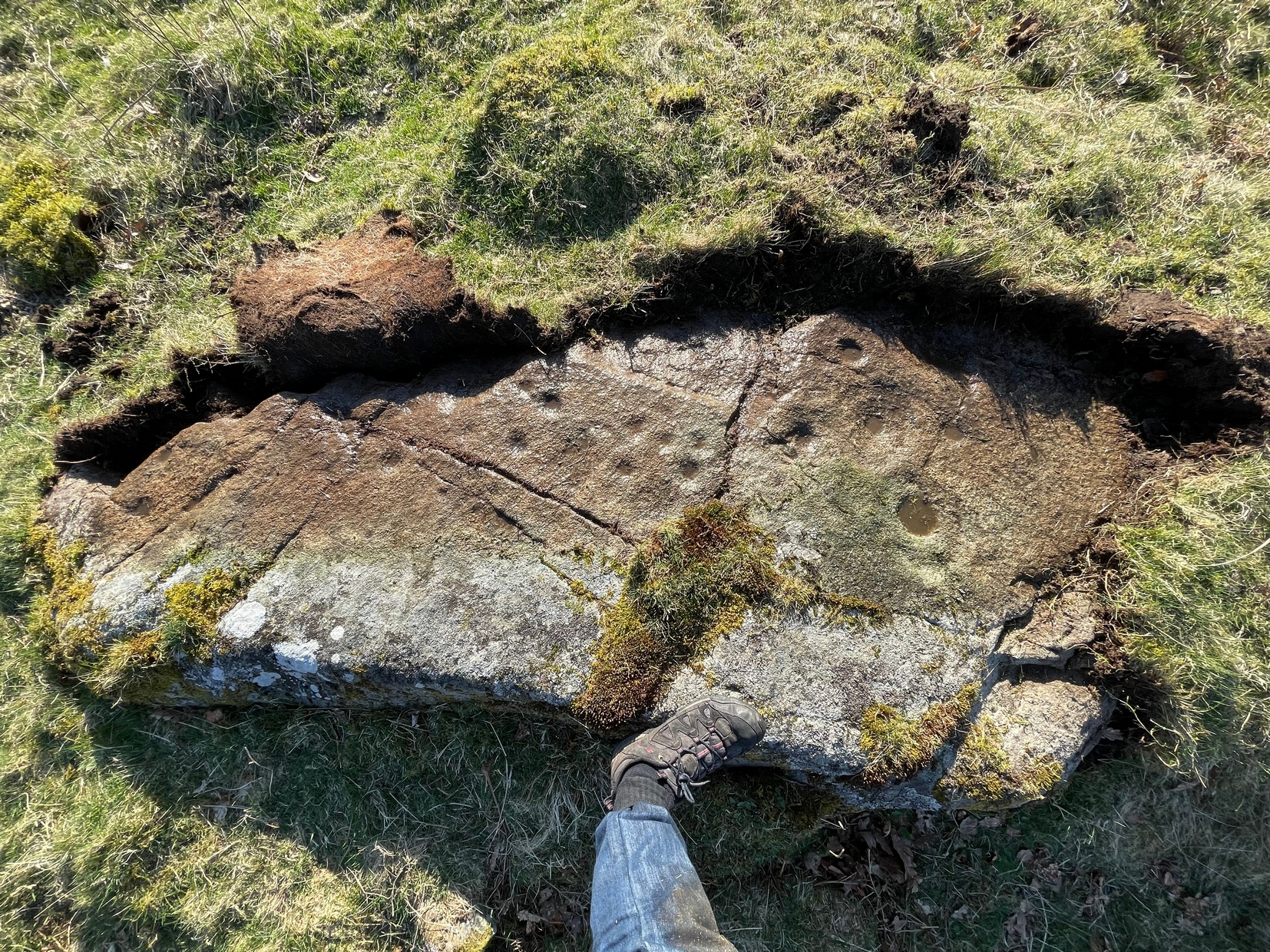
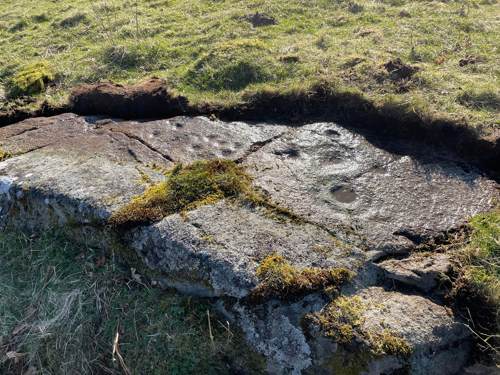
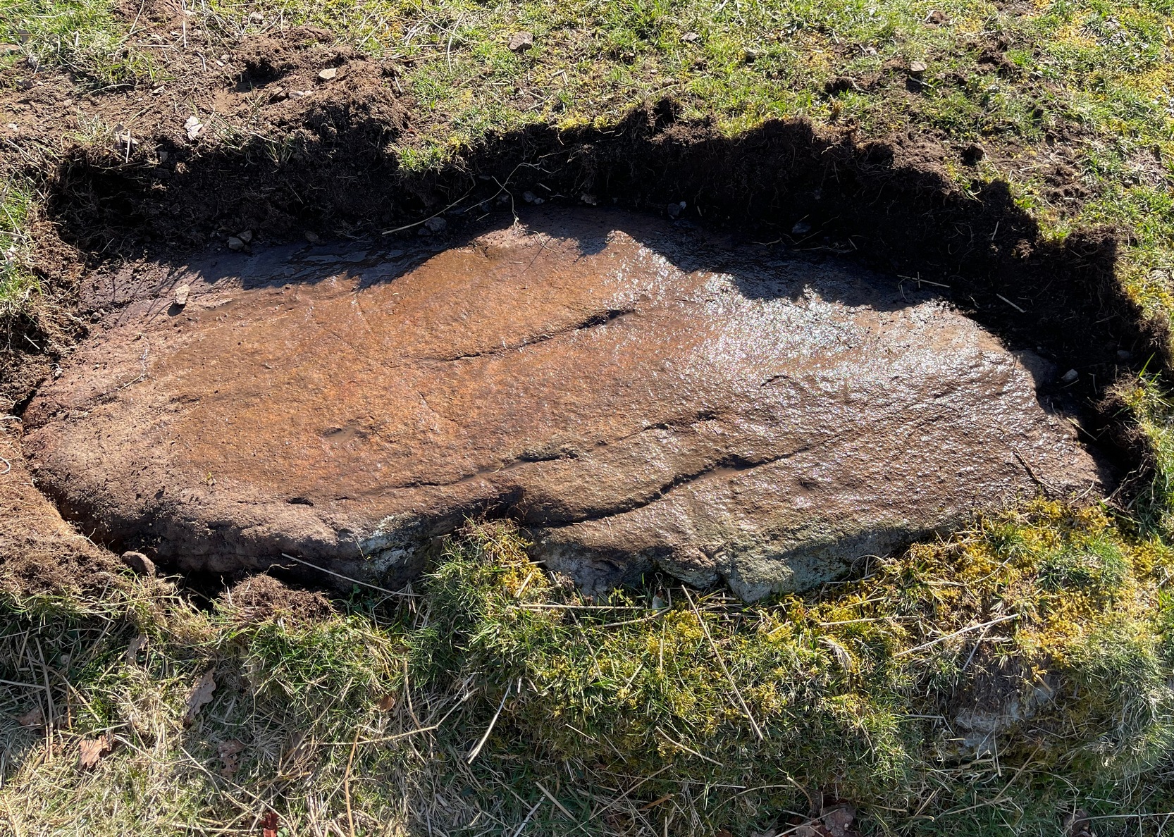
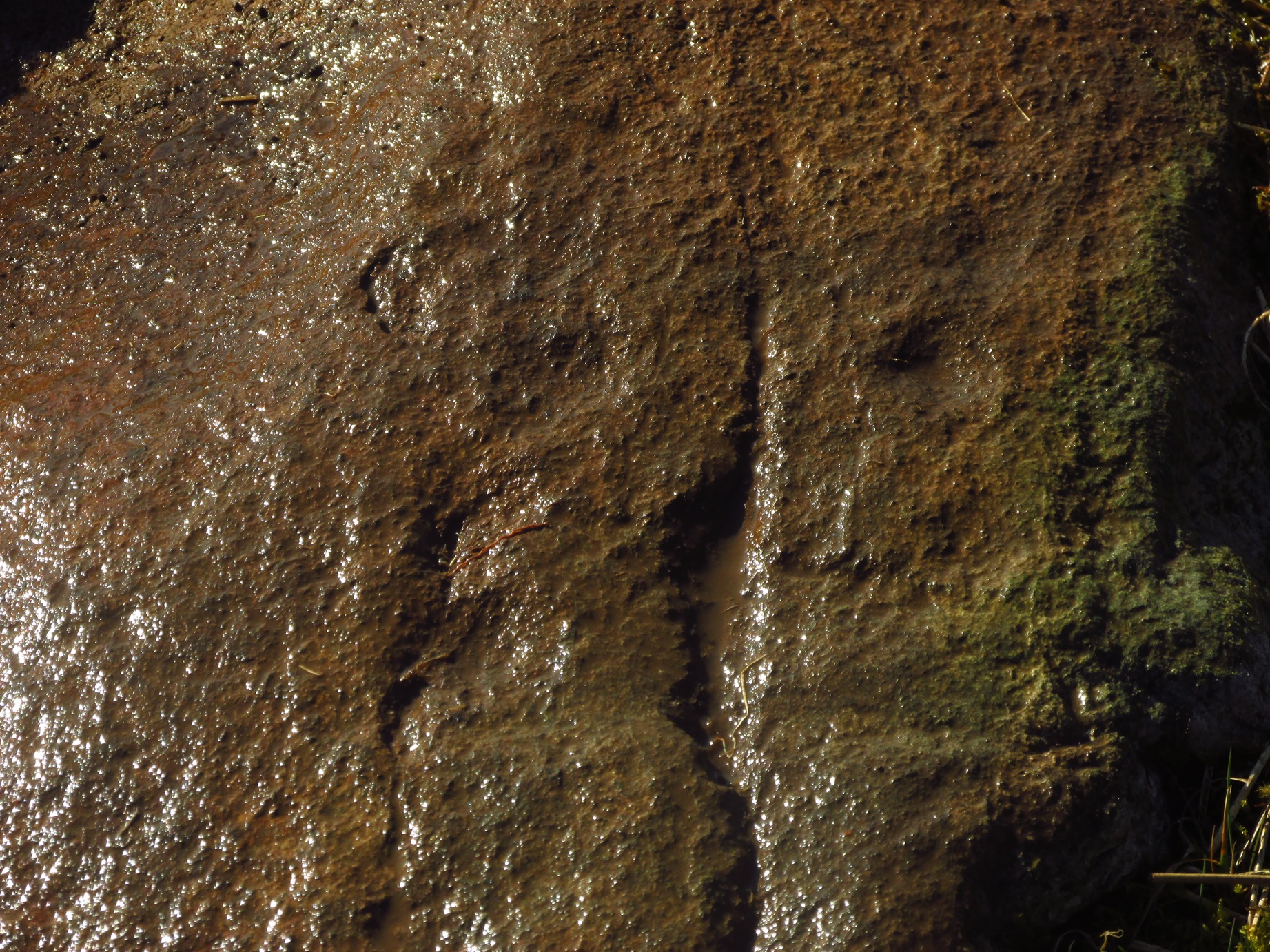
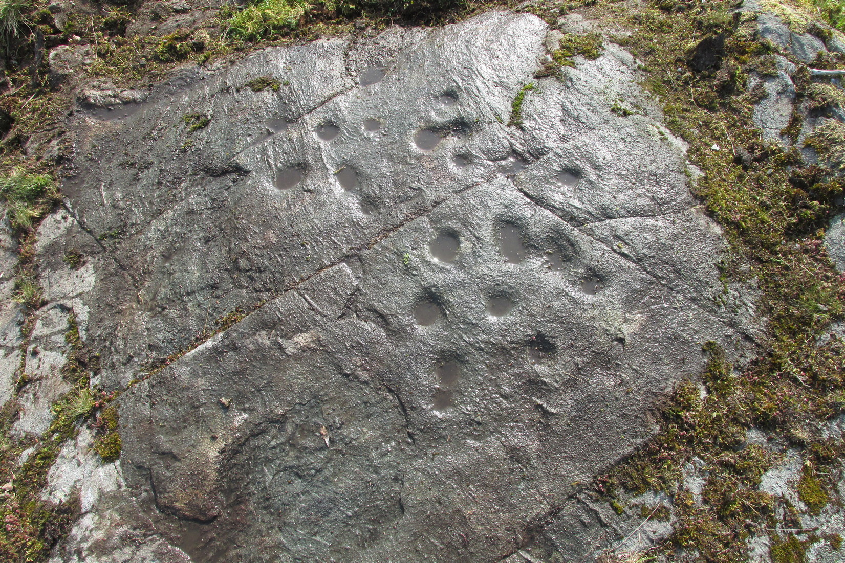
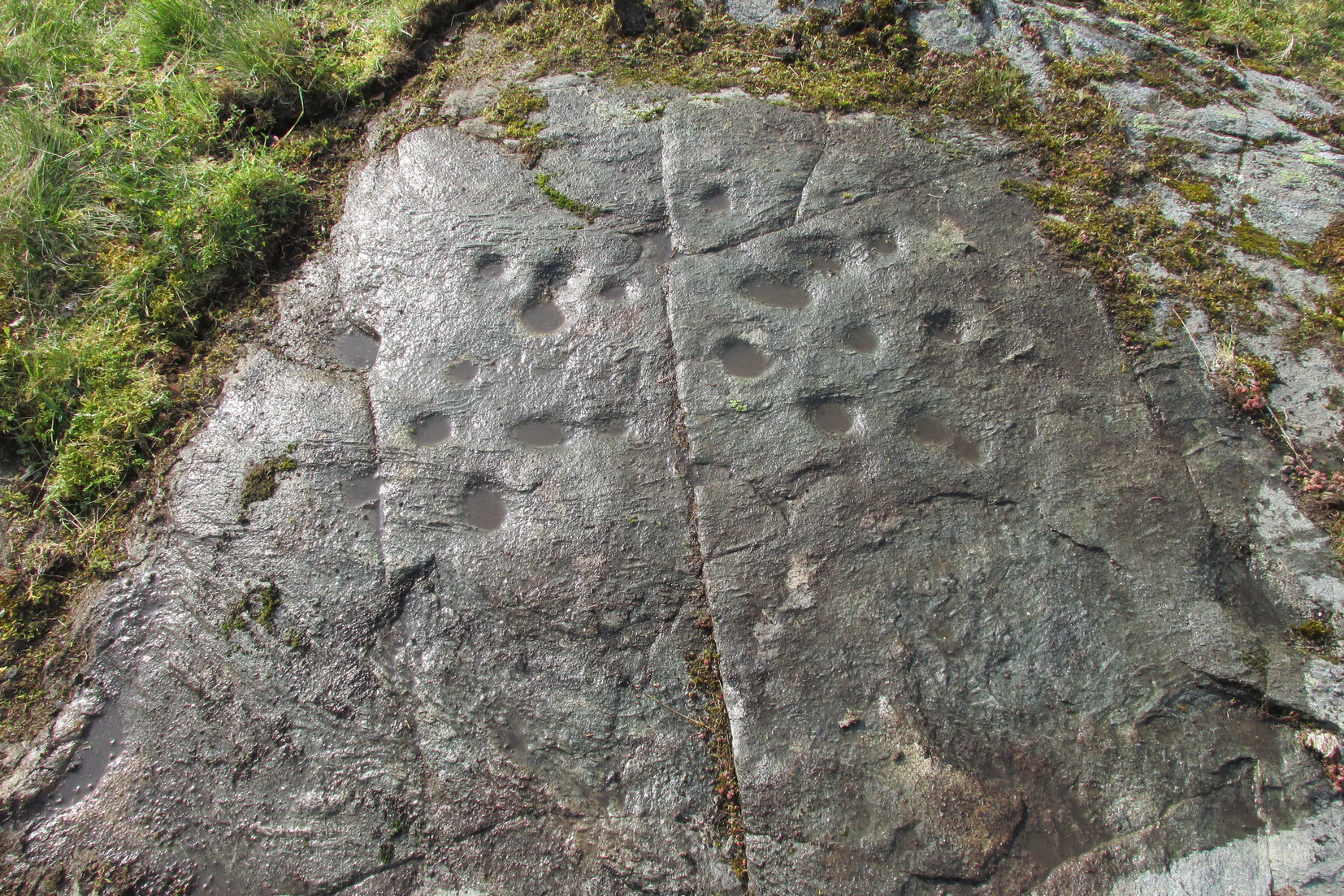
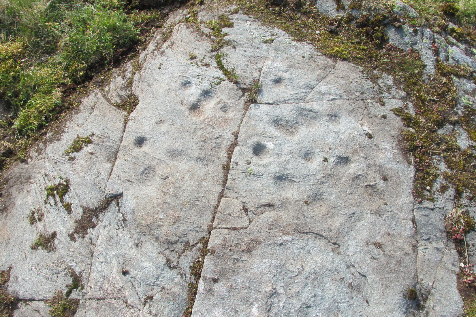
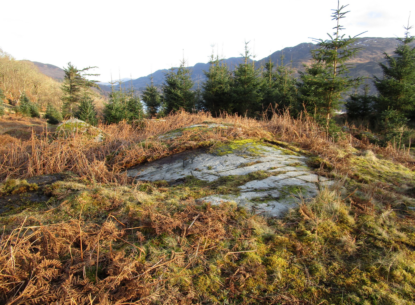
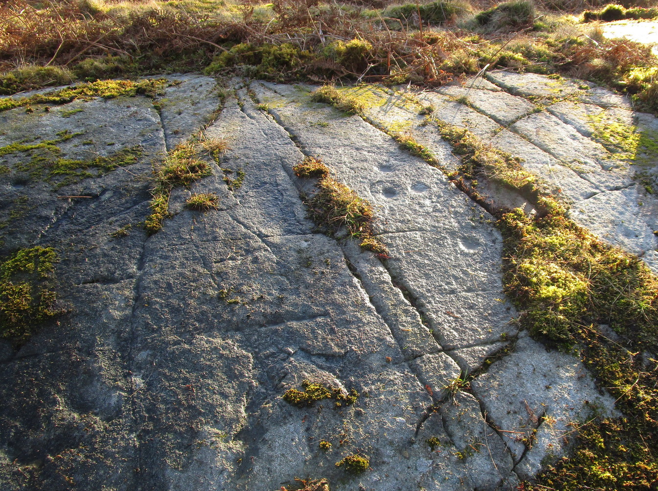
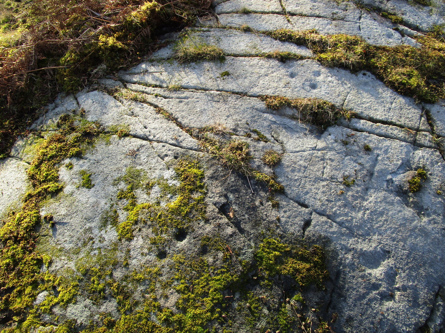
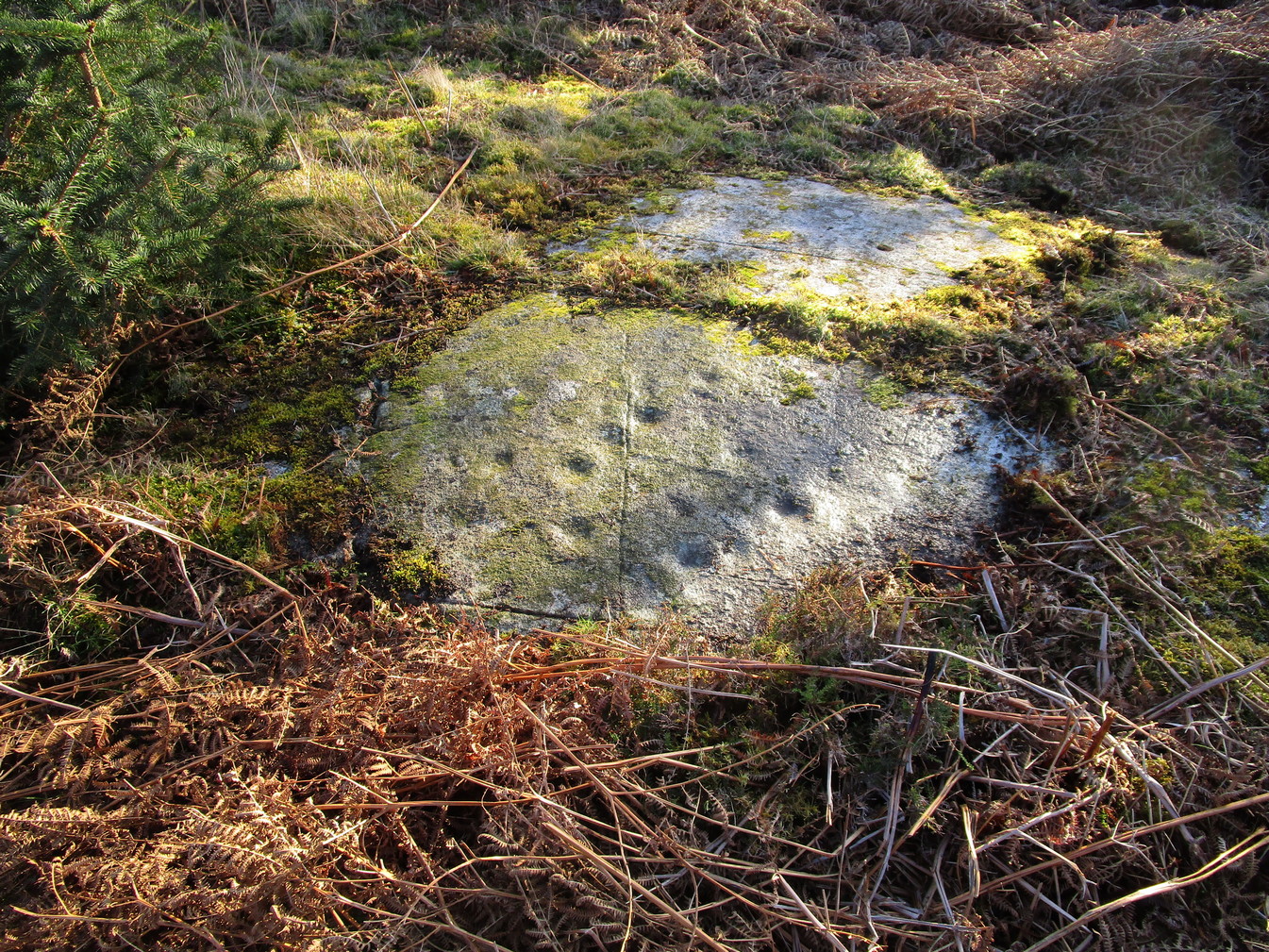
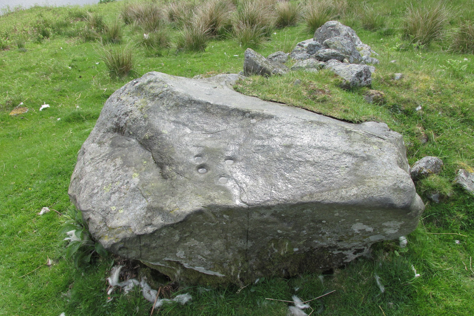
It’s one of many whooping cough wells that are found in the Perthshire hills—and most are actually large boulders with hollows into which the rainwater collects and it is this that is used medicinally and not necessarily the spring water. A curious thing indeed…. and I’ve come across Highland folk who were taken to them when they were young children who’ve told me that their whooping cough was subsequently cured! Intriguingly, there is a large boulder just below this well, upon whose top is a natural bowl in which rainwater collects—and although I can find nothing specific telling of such a tradition here, above Comrie, it’s possible that the relationship between stones and wells, found at other places in the Highlands, also existed here.
The name Kinkhoast itself (and variables thereof) is a Scottish dialect word, found from Galloway and into the Highlands. Jamieson (1880) describes it as literally “hooping cough”, with a brief note on the disease being cured by water drank from a shell. Meanwhile, in Grant & Morison’s (1960) massive work, they give numerous examples of the term, most of which relate to the same “whooping cough”, with some examples of folk remedies to abate the disease, including one of parents sending their children to take a drink from the “Kinker Steen Wall”—in that case from the parish of Logie. Examples of the very same tradition are known at other kinkhost sites. Check the place out when you’re in the area—and rest for a while to drink in the beautiful views…
References:
- Anonymous, “Comrie Folklore – Kingcough Well,” in Crieff & District Post, no.31, August 2012.
- Grant, William & Morison, David D. (eds), The Scottish National Dictionary – volume 5, SNDA: Edinburgh 1960.
- King, M.D., “Kingarth (Comrie Parish): Healing Well,” in Discovery & Excavation Scotland, 1992.
- Jamieson, John, An Etymological Dictionary of the Scottish Language – volume 3, Alexander Gardner: Glasgow 1880.
Acknowledgements: Big thanks to Paul Hornby for getting us here – and for use of his photo.
© Paul Bennett, The Northern Antiquarian