Cross (ruins): OS Grid Reference – SD 56770 37765
Also Known as:
- Historic England Monument No. 42651
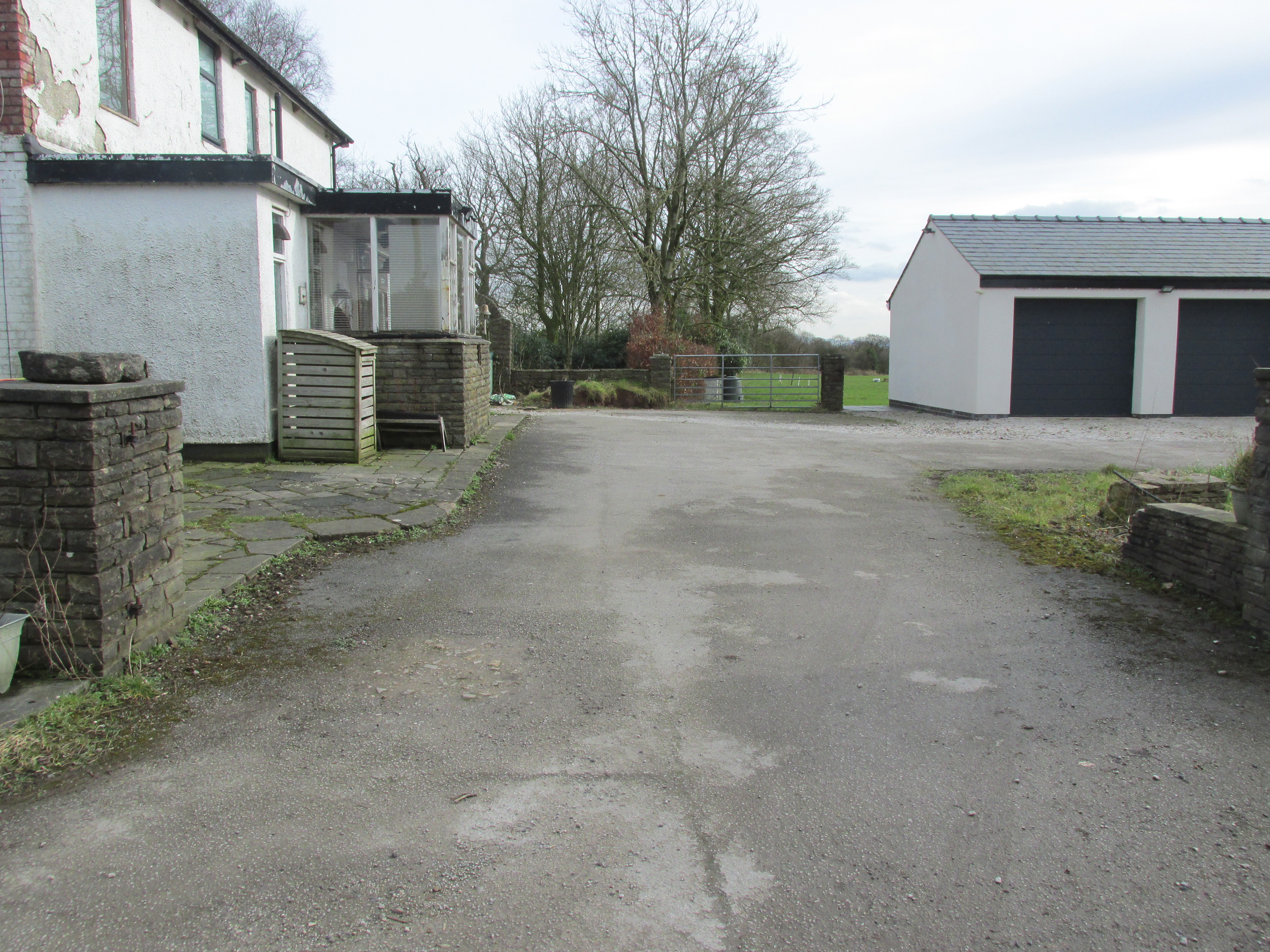
Travelling east out of Goosnargh on the B5269, go straight ahead onto Camforth Hall Lane, follow it northwards and take the left fork at Stump Cross onto Eaves Green Lane, and a lane will be seen on the left signposted Eaves Green. Walk along this lane and a white Snowcemmed house, ‘Bridle Mount’ will be seen on the left. The cross base will be found deep in the holly hedge opposite the driveway to the house.
Archaeology & History
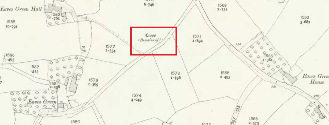
This cross was not mentioned in the 1906 edition of Henry Taylor’s Ancient Crosses and Holy Wells of Lancashire, but was nevertheless marked on the 1910 25″ OS map (the earliest at my disposal) as “Cross (Remains of)”
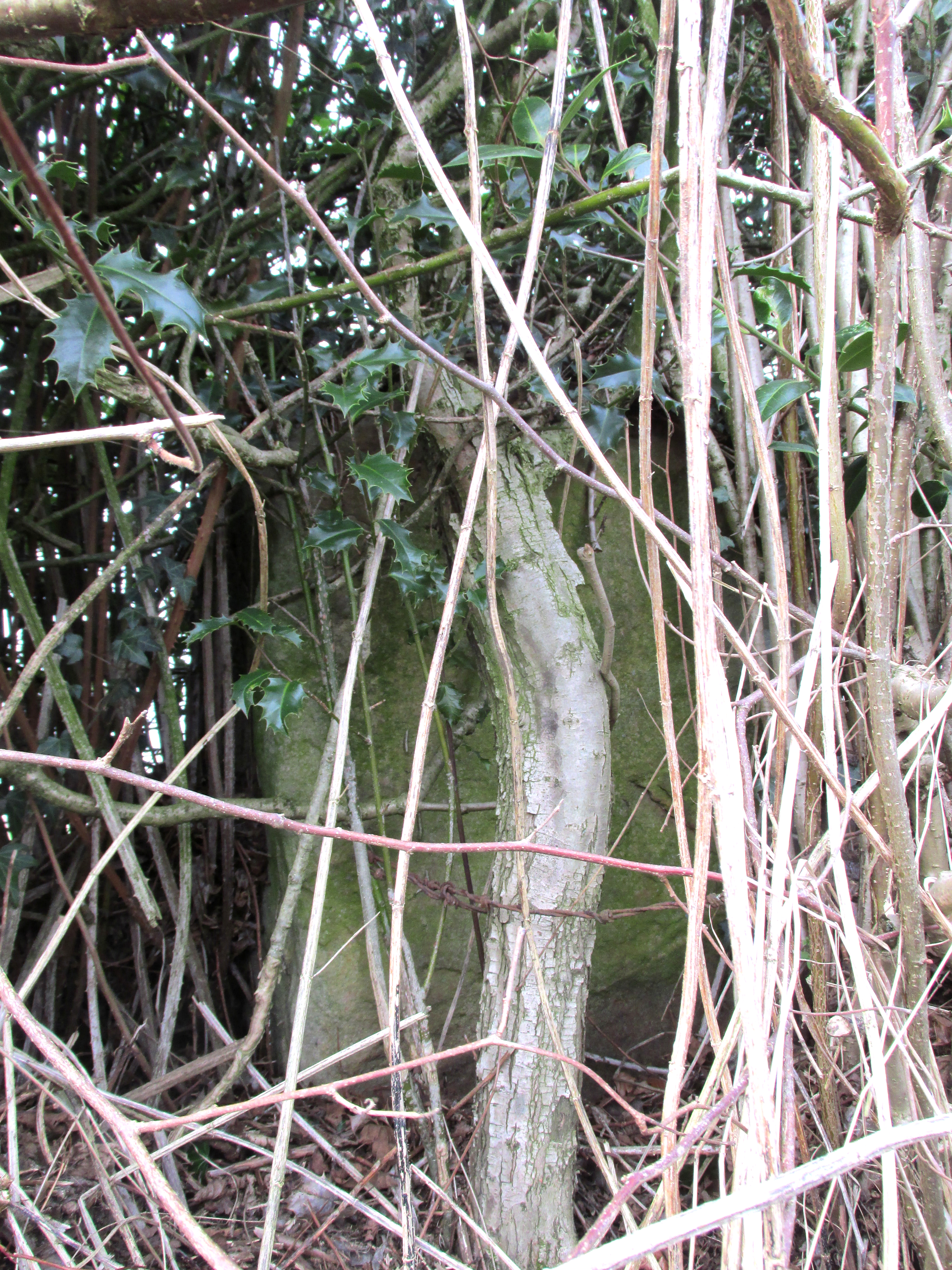
In 1958, the Ministry of Works Field Investigator commented: “The socket stone of a probable way-side cross situated on rising ground in a pasture field adjoining a lane. It measures 0.8m by 0.7m and is 0.9m high with a socket 0.2m by 0.15m and 0.2m deep. There are no traces of a cross or shaft.”
The current official description describes the remains as “Now missing”…
Well, no! – the intrepid TNA investigator has located it, buried deep in the boscage of a holly and ivy hedge, but he was lucky that the hedge had been very recently trimmed and he made his visit in late winter…
The Cross is registered on the Milestone Society Repository under reference: LAPR_GOO02.
©Paul T. Hornby 2017 The Northern Antiquarian