Raith Gardens, Kirkcaldy, Fife

Cup-and-Ring Stone:  OS Grid Reference – NT 27131 91374

Getting Here

The multiple-ringed petroglyph of Raith, Kirkcaldy

The multiple-ringed petroglyph of Raith, Kirkcaldy

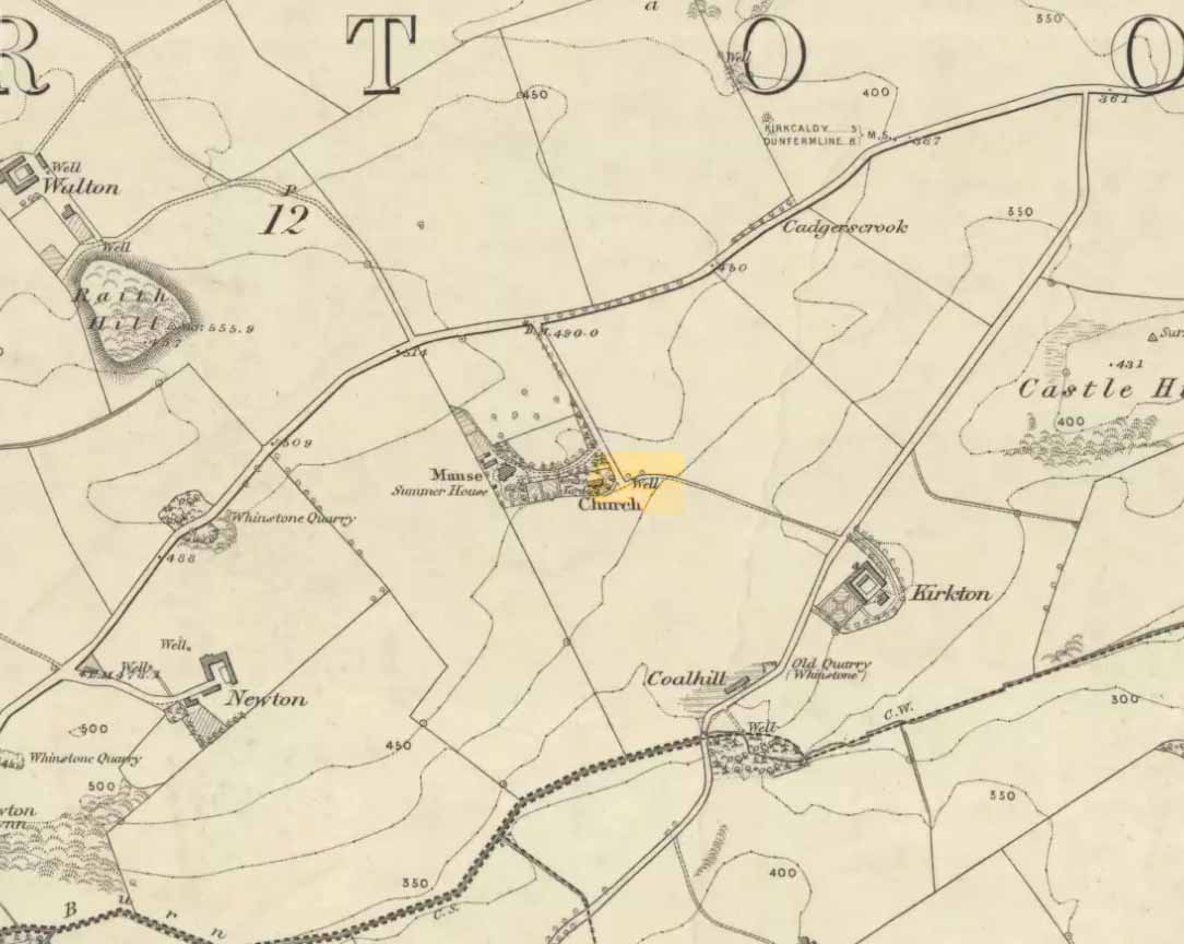
On the more south-side of Kirkcaldy, head for the roundabout at the meeting of the A910, B925 and B9157, heading out west along the Auchtertool road; but just 60-70 yards past the roundabout, take the first right along Raith Drive.  Wibble along here for a few hundred yards until you reach Raith Gardens.  Walk down here for 50 yards and cross onto to the grasses opposite where a path runs parallel with a large old stone wall.  Barely 2 feet above ground level, keep yer eyes on the walling!

Archaeology & History

Close-up of the carving

Close-up of the carving

This is a peculiar one.  A very peculiar one!  Found embedded in some very old walling, it is similar in size, style and design to the curiously un-eroded multiple-ringed Binn-1 petroglyph 3.9 miles (6.2km) southwest, this concentric four-ringed ‘cup-and-ring’ stone actually seems to have no central cup.  That aint too unusual.  But the oddity here is its complete isolation—not merely from any other petroglyphs, but from any other neolithic or Bronze Age site.

The concentric rings are incomplete on the outer two rings, with openings or gateways to the inner two rings (a common element).  Several parallel scars are clearly visible that have been cut across the surface of the stone, affecting the clarity of the carving.  Whether these scars are geophysical, or were caused when the carving was moved and fit into the wall, we do not know.

The stone may or may not have been a portable one, typical of those attached to cairns or tomb-covers; or it may have been broken from a large piece of rock.  We just don’t know.  The design is typical of those found in relation to prehistoric tombs, yet none are known to have been here.  In 1872 The Antiquary Journal covered the story of four stone coffins being found when the first Co-op building was being built in Kirkcaldy, on top of which was “an earthen urn” – but where was that exactly?  Did the carving come from there?  We do know that the walling in which the carving has been fixed was once part of an old Abbot’s Hall – but whatever was here before that, history seems to have forgotten.

A fascinating little mystery this one…..

Acknowledgements:  Huge thanks to Penny Sinclair for showing us to this little-known site. Cheers Pen. 🙂

© Paul BennettThe Northern Antiquarian


Holy Well, Auchtertool, Fife

Holy Well:  OS Grid Reference – NT 20813 90189

Also Known as:

  1. Canmore ID 52985

Getting Here

‘Well’ marked the spot in 1856

Along the B925 road between Dunfermline and Kirkcadly, ⅔ of a mile (1.07km) west of Auchtertool village, go down the small track leading down to the isolated church on the rise in some trees.  Walk through the churchyard and out the other side where a small footpath runs downhill.  50-60 yards along, by the walling, this holy well is/was said to be.

Archaeology & History

Both history and tradition are pretty shallow on this all-but-forgotten site, which Penny Sinclair guided us to see in the summer of 2016.  Sadly the entire area where the waters are reported to emerge were completely overgrown in nettles when we visited and, despite us trampling the Urtica down, we could find no remains of the spring. (the Church and its followers here should ensure that the well is properly maintained)

The greatest description of the site seems to be that given by William Stevenson (1908) in his rare work on the parish of Auchtertool.  He wrote:

“As you approach the Kirk of Auchtertool by the old road…you come upon a well by the wayside.  For many years it was the well that supplied the Manse with water, but it is now seldom used, even by the passing traveller.  There is a belief that at one time this well was what is known as a holy well.  Be that as it may, a friend of the late Rev. Walter Welsh, the late Dr Robert Wilson, caused a stone over the well to be inscribed with the following lines:

“Ye who the gently-winding path have trod,
To this fresh fount beside the house of God,
Taste the clear spring; and may each pilgrim know
The purer stream where living waters flow.””

The well was included in Ruth & Frank Morris’ (1982) survey, where they added that the waters from the well were “used in celebration of the mass.”

References:

  1. Morris, Ruth & Frank, Scottish Healing Wells, Alethea: Sandy 1982.
  2. Stevenson, William, The Kirk and Parish of Auchtertool, James Burt: Kirkcaldy 1908.

Acknowledgements:  Many thanks to Penny Sinclair for taking us to this locale.

© Paul Bennett, The Northern Antiquarian 


Aithernie, Scoonie, Fife

Tumulus (destroyed):  Grid Reference – NO 3769 0339

Also Known as:

  1. Canmore ID 31344

Archaeology & History

Aithernie tumulus on 1855 OS-map

A mile or so WNW of the fantastic standing stones of Lundin, and just a coupla hundred yards above where the lesser standing stone of Balgrummo lives, we could once see an impressive prehistoric burial mound on the small hilltop of Aithernie.  Sadly, like oh too many prehistoric sites in our landscape, it was vandalised and destroyed in the 19th century by the prevailing stupidity of the period.  Thankfully we have a couple of accounts describing the place.

The site had already passed into memory when the Ordnance Survey fellas got up here in 1854, but an account of it was made in the ‘Object Name Book’ of the parish a decade earlier.  Thankfully the story of the site was known locally and, along with the New Statistical Account describing the olde mound, A.S. Cunningham (1906) told the story of when it was “opened” and then of its subsequent demise. He wrote how,

“…in 1821 a much more interesting relic of antiquity…was opened in a field on the estate of Aithernie.  When digging moulding sand for Leven Foundry, the workmen struck right into the heart of an ancient tumulus.  This cemetery of prehistoric times contained as many as twenty rude stone cists.  These cists were typical of the prehistoric burial places found throughout the country.  They were constructed of slabs placed on edge, with a covering stone, and cemented with clay puddling.  Above the coffins was a covering of stones, the stones having hundreds of years before been so firmly cemented together with clay and sand that the workmen required the aid of picks to enable them to “rifle the tombs.”  Small urns were found in two of the coffins, and five of them contained larger urns, 14 inches in diameter and 24 inches in depth, and in another cist quantities of charred wood beads were discovered. All the coffins, except the five in which were the large urns, contained human bones, and innumerable bones were found outwith the mouths of the cists.”

When the Royal Commission (1933) lads visited the place in 1925, they reported “no existing indication of a tumulus” remained.  Gone!

References:

  1. Cunningham, A.S., Rambles in the Parishes of Scoonie and Wemyss, Purves & Cuningham: Leven 1906.
  2. Royal Commission on the Ancient & Historical Monuments, Scotland, Inventory of Monuments and Constructions in the Counties of Fife, Kinross and Clackmannan, HMSO: Edinburgh 1933.

© Paul Bennett, The Northern Antiquarian