Holy Well (lost?): OS Grid reference – SX 2258 5311
Archaeology & History
This spot is where an old field-name has preserved the memory of an all-but-forgotten holy well, known as the “Holywell Ground.” Although it may have fallen back to Earth, there are two possible spots regarding its position: i) a spring that was marked on the 1882 OS-map at SX 2258 5315, and ii) a “Well” that’s shown on the recent OS-maps (SX 2257 5306). Hence, the grid-reference I’ve given to this place is the halfway spot between them both. (it has to be pointed out that the “well” on recent maps occurs right next to an old quarry, which are well known to bring forth water sources that were previously deep underground) Whether or not Sclerder Abbey—about 400 yards west of here and only built in 1843—had anything to do with the sanctifying this well, we can but guess…
There are numerous ways to get here from all directions: i) from the west-side of Wimbledon Common, on the Robin Hood’s Way A3 road, keep your eyes peeled for the small crossroad of Robin Hood Lane and Road, obivously taking the one into the park. Keep on the dead straight Robin Hood Ride path until your hit the carpark ¾-mile on; and from here, bear sharp left (NW) for 250 yards or so, where a small slope down on your left takes you there; or, ii) from Wimbledon village side on the A219 Parkside A219 road, where the War Memorial stands, head onto the Common along The Causeway, past the Fox & Grapes going on Camp Road, then up the Sunset Road towards the carpark. And then, once again go NW for 250 yards or so, where the small slope on your left takes you there. You’ll find it.
Archaeology & History
Described by William Bartlett (1865) as “the never-failing spring of water, improperly called the Roman Well”, its constant flow was severely tested in the great drought of 1976—and it kept on flowing. Only just though! It was highlighted on the early Ordnance Survey map with the plain name of the Springpond Well. The great historian and folklorist Walter Johnson (1912) gave us the best historical resumé of the site, telling that,
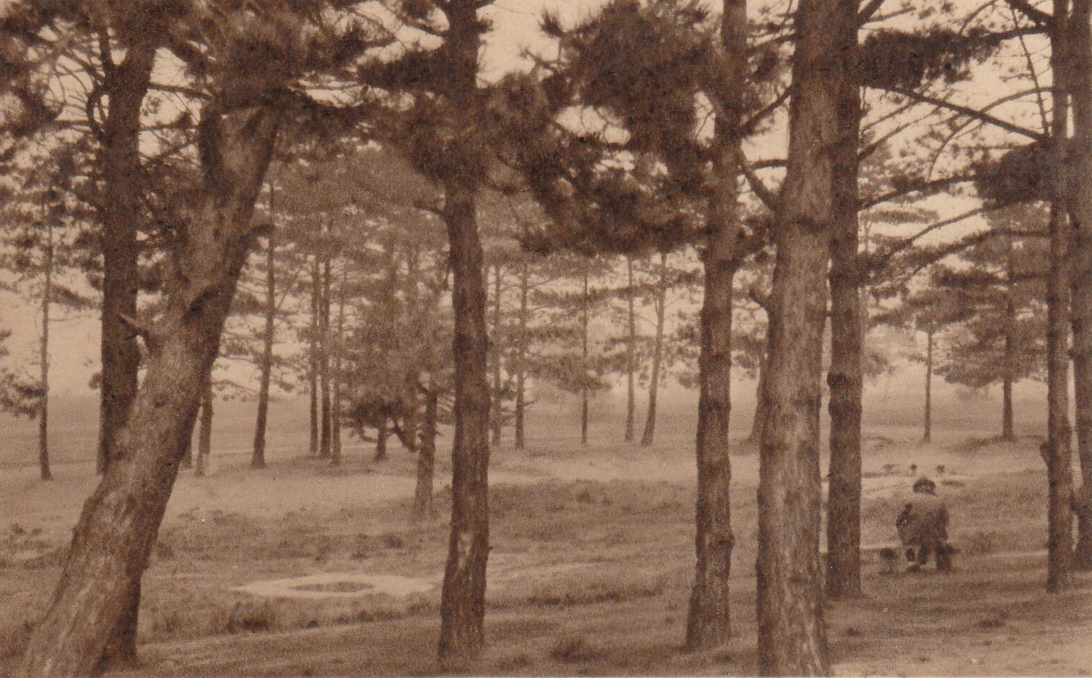
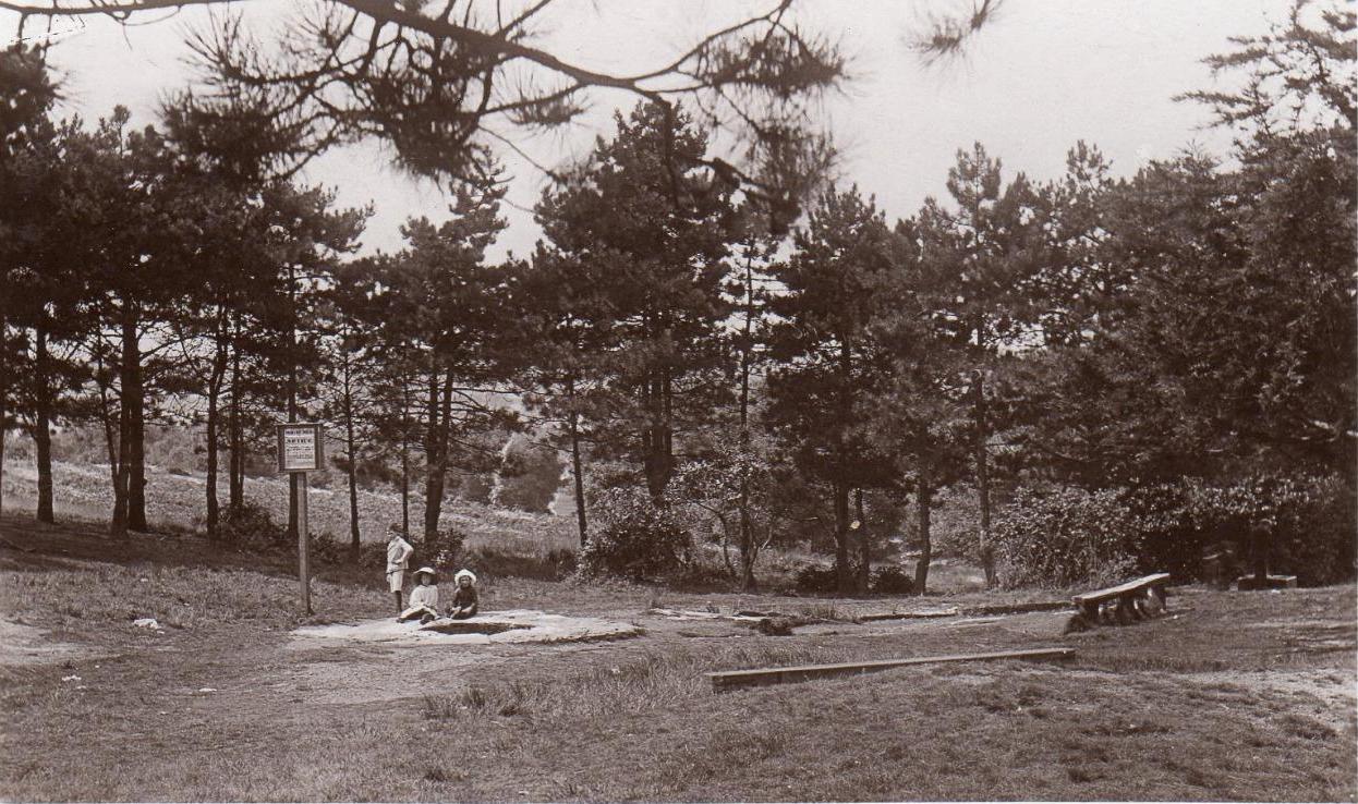
Caesar’s Well around 1900Caesar’s Well around 1911
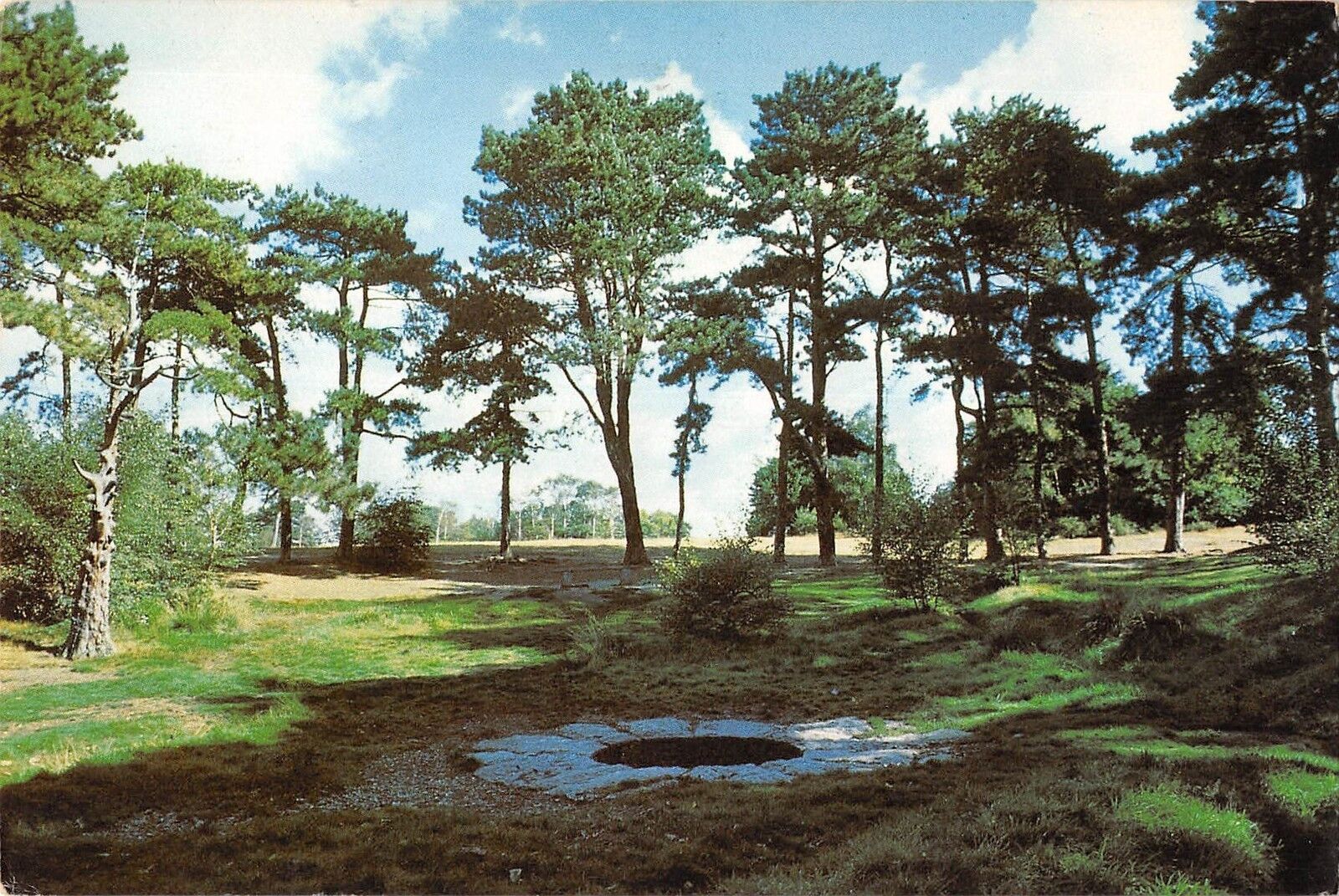
“Caesar’s Well, formerly known as Robin Hood or Roman Well—the Springpond Well on the Ordnance Map—issues on the other side of the little watershed above mentioned, at a height of 149 feet O.D. The well lies in a little hollow, now ringed with Scottish pines. The gathering ground is the land to the east, rising to 198 feet O.D. This area is not large, but quite sufficient to maintain a permanent rill of pure water. The well, the waters of which once were deemed of special medicinal merit, was enclosed with brick in 1829, and, as the inscription tells us, refaced with granite blocks by Sir Henry W. Peek, M.P., in 1872. The outflowing waters descend to Brickfield Cottage, where they expand into a turbid duckpond; thence the course is through the yard behind the house, and along the north side of Robin Hood Road to Brook Cottage. During 1911 the “Well” proper altogether dried up, but water still issued from the stand spout a few yards below, which is supplied by an artificial boring and pipe that tap the spring at a depth of 18 feet.”
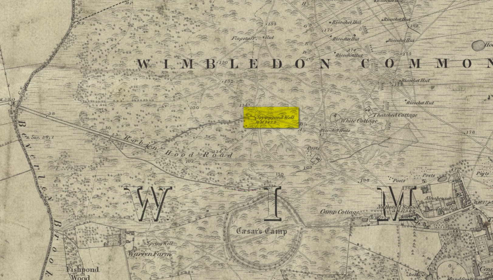
Site shown on the 1874 map
The proximity of this never-failing spring to the huge prehistoric enclosure of Caesar’s Camp just a few hundred yards to the south would indicate it was an important water source in Bronze Age times and, I’d hazard, would have been bestowed with some sanctity, as many such wells tended to be.
Folklore
James Rattue (2008) informed us that the name Robin Hood’s Well was known here in the 18th century prior to it being known as Caesar’s Well, but there seems to be no known relationship between Robin Hood and this site. However, a piece written in 1922 told that there was a lingering tradition that Julius Caesar encamped on Wimbledon Common in 51 BCE and that this folk memory was kept alive in the lore of local children who devoutly believed that the great Roman Emperor drank from the cool depths of this well.
References:
Bartlett, William A., The History and Antiquities of the Parish of Wimbledon, Simpkin Marsall: London 1865.
Hughes, John L., “Caesar’s Well, Wimbledon Common,” in Source magazine, no.9, Spring 1989.
Johnson, Walter, Wimbledon Common – Its Geology, Antiquities and Natural History, T.Fisher Unwin: London 1912.
Rattue, James, Holy Wells of Surrey, Umbra: Weybridge 2008.
Cup-Marked Stone (lost): OS Grid Reference – SO 1491 0045
Archaeology & History
Sometime in the 1940s, a certain Lady A. Fox recorded a cup-marked stone “in the vicinity of Pen-twyn” near Bargoed. Its position in the landscape is a good one: on a geological promontory and overlooking the valley below. The find was indexed by the Ordnance Survey, but apart from it’s grid-reference, all attempts to locate the design have so far proved unsuccessful.
It was mentioned briefly in the Royal Commission (1976) survey of Glamorgan, then subsequently listed in the surveys of Sharkey (2004) and Nash (2007), but none of them were able to locate it. And hence, I post it here, in the hope that some local hunter will be able to recover it from its hiding place!
References:
Mazel, A., Nash, G. & Waddington, C. (eds.), Art as Metaphor: The Prehistoric Rock Art of Britain, ArchaeoPress: Oxford 2007.
Nash, George, “A Scattering of Images: the Rock Art of Southern Britain,” in Art as Metaphor, ArchaeoPress: Oxford 2007.
Royal Commission on the Ancient & Historical Monuments, Wales, An Inventory of the Ancient Monuments in Glamorgan – Volume 1: Pre-Norman, Part 1: The Stone and Bronze Ages, HMSO: Cardiff 1976.
Sharkey, John, The Meeting of the Tracks: Rock Art in Ancient Wales, Gwasg Carreg Gwalch: Llanrwst 2004.
This is a site that requires the attention of some local antiquarians, as there are conflicting reports as to whether or not it still lives in its old haunt. Very little has been written about it and its whereabouts seems to have been completely missed in the radars of all megalithic guides. The Langholm historians—John and Robert Hyslop (1912)—who wrote about the place in their gigantic history work more than a hundred years ago, would no doubt be shaking their heads at such lackings.
They told:
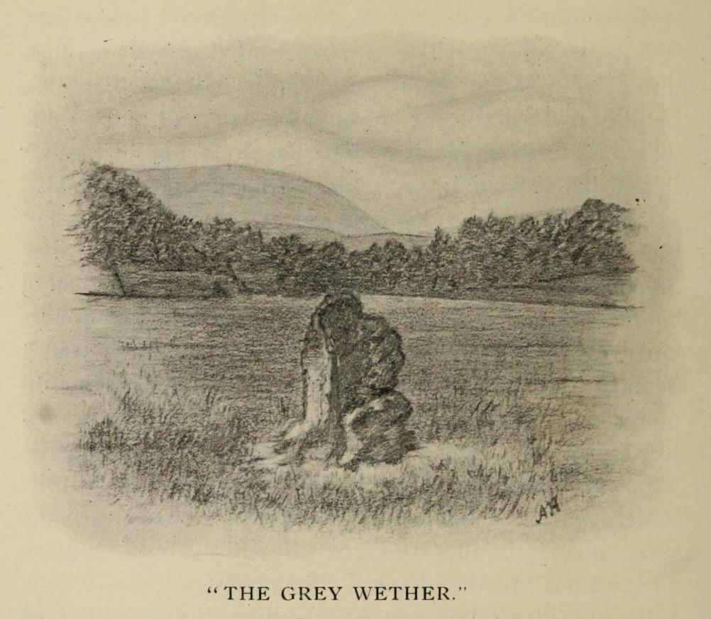
“The best example of the standing stones in the Eskdale district is that at Meikledale in Ewes, locally known as ” The Grey Wether,” a print of which is here given. It is about 5 feet in height and its girth is 8 feet 7 inches, and it would probably weigh about two tons. The stone is the common greywacke, or whinstone of the Silurian series, rough and unhewn. It stands in the centre of a field in front of Meikledale House, and can be seen from the highway. The field is surrounded by hills on every side,”
which the writers thought might have been the reason for its erection here, although having more to do with the natural beauty of the landscape than any archaeocentric or geomantic factor.
Shortly after this had been written, Alexander Curle of the Royal Commission visited the area and made note of this “standing stone known as the Grey Wether…situated on the haughland some 250 yds SSE of Meikledale”, but added nothing more. It was several years later before a Royal Commission (1920) team came here and told that,
“A standing-stone, known as the “Grey Wether,” is situated on the haugh-land, some 250 yards south-south-east of Meikledale. It is a large whinstone slab, measuring in greatest height 4 feet 8 inches, in breadth 3 feet 5 inches, and in thickness 1 foot, and faces west-south-west and east-north-east.”
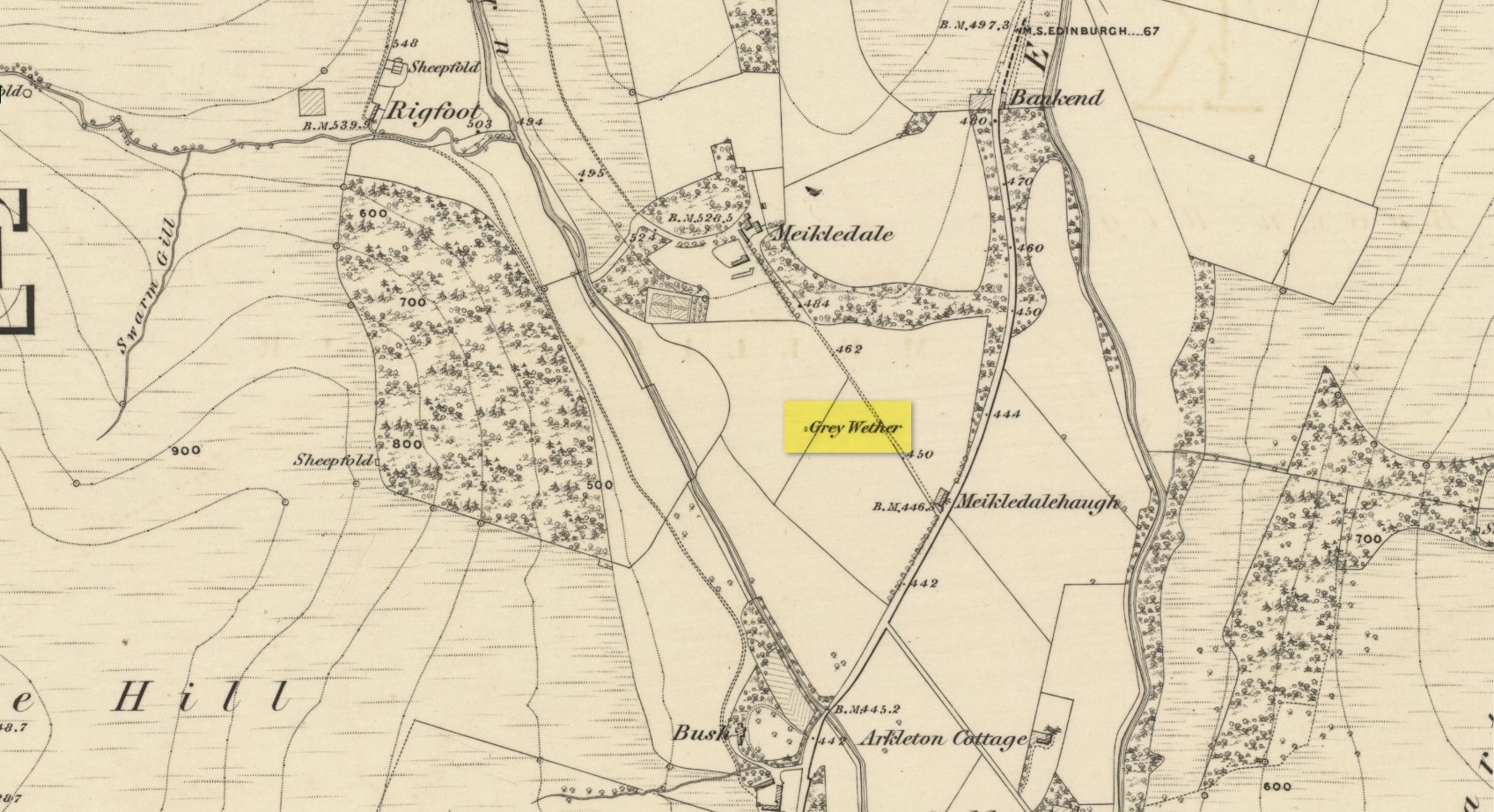
Stone shown on 1857 map
But they subsequently reported that, prior to World War 2, some complete dickhead knocked it down, broke it up and dumped it in a nearby stream! However, in 1980 some more lads from the Scottish Royal Commission revisited the area and alleged that a stone laid in the field 250 yards below of Meikledale farmhouse was our old Grey Wether. The position they describe is the same spot as the one shown on the 1857 OS-map; and at this very spot on GoogleEarth it seems that a stone there lies… Are there are any local folk in that neck o’ the woods who could find out…?
Folklore
The Greywethers stone circle on Dartmoor has a veritable mass of folklore attached to it, but its namesake here at Langholm has very little. The origin of its name has been forgotten. All we have left is what the Ordnance Name Book in 1857 recorded, telling that “it is supposed to have been erected in memory of some Hero, but no further account of it can be obtained.”
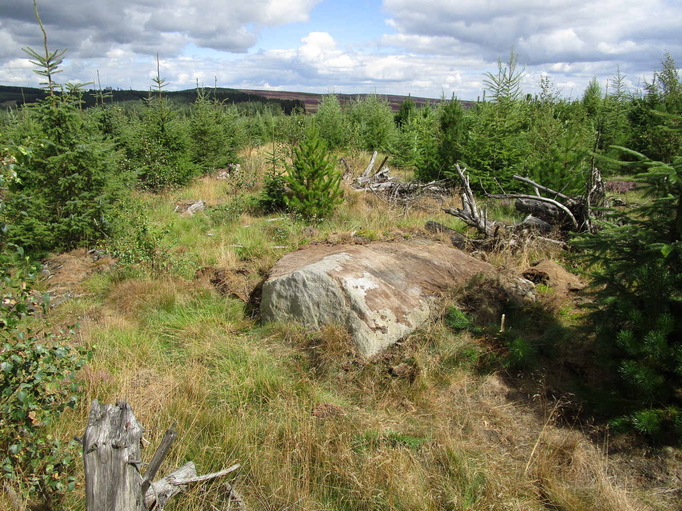
If you’re coming via the Keighley-Bingley (Airedale) road, go up to Riddlesden and then up the winding Banks Lane until it meets the edge of the moors. At the T-junction, turn left and about 330 yards along on your right there’s a dirt-track. Walk up here, sticking to the track (not the footpath) towards the cliffs of Rivock ahead of you, going through the gate and into the Rivock woods area. About 450 yards on from the gate on your right-hand side you’ll see the long straight length of walling that runs uphill—and about 60 yards up here, on the left-hand side of the wall you’ll see a very large boulder. Y’ can’t really miss it!
Archaeology & History
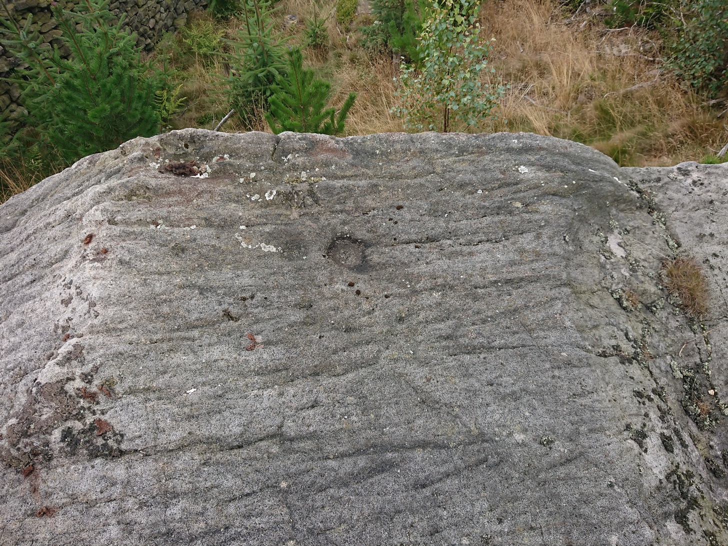
2 of the several cups here
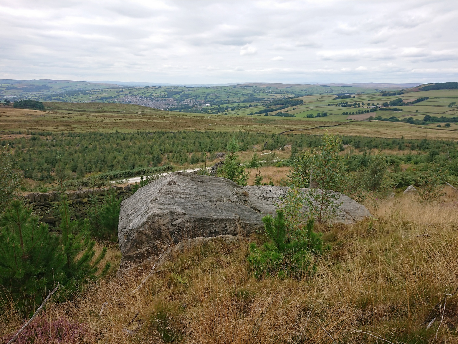
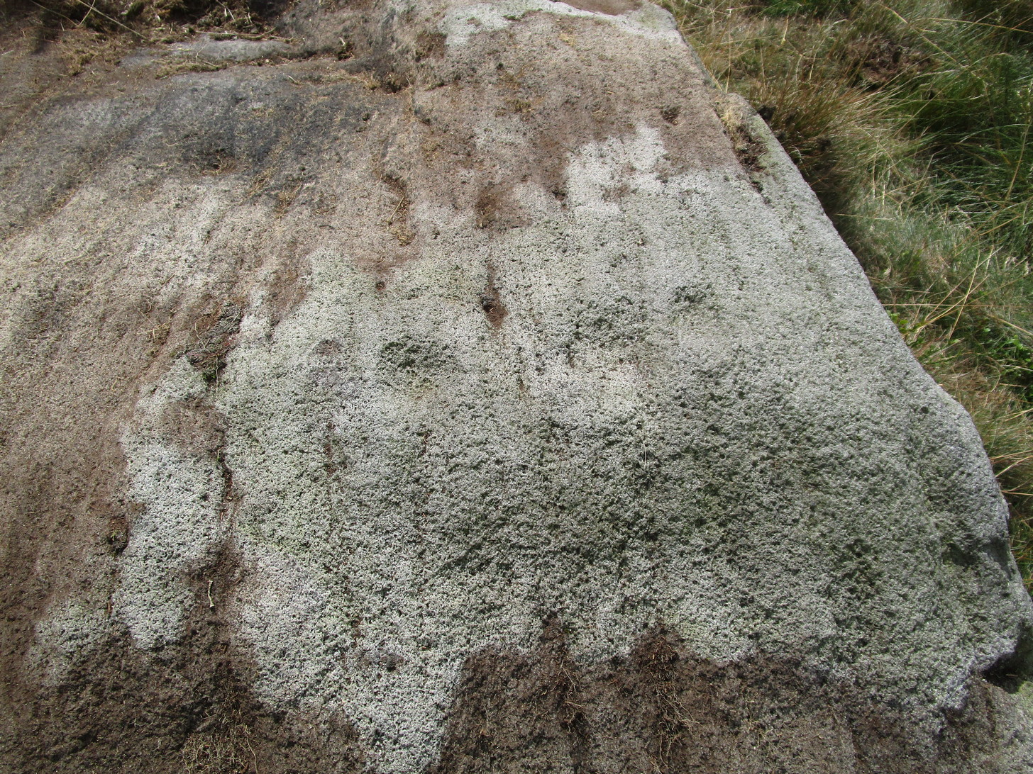
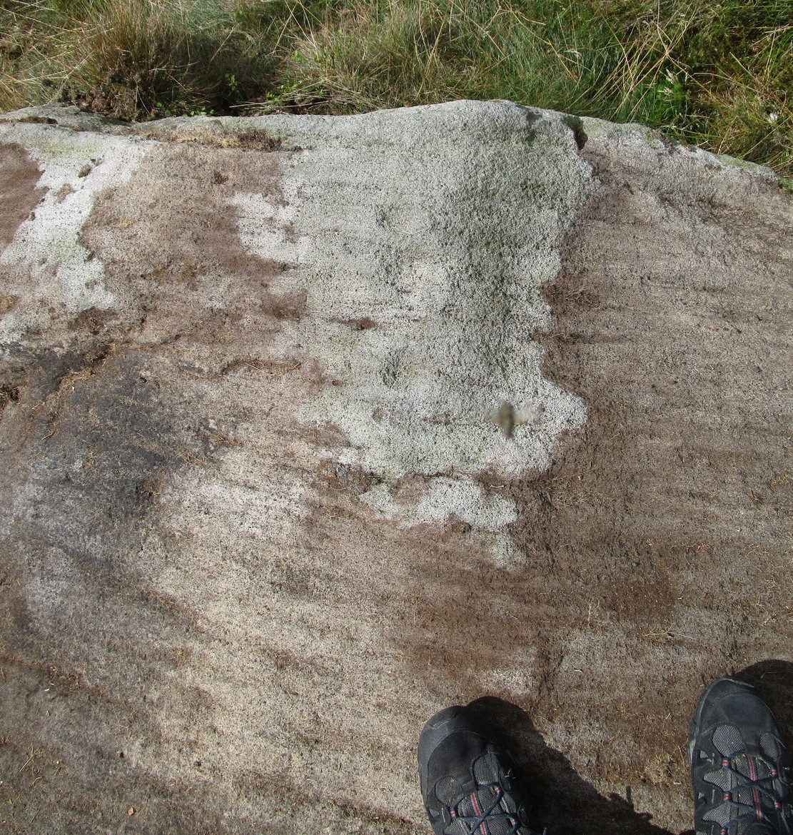
This large natural block, embedded into the hillside about 80 yards below the Wondjina Stone and its companions, is nothing much in the petroglyphic visual scale of things, but is worth checking out for a break if you’re checking out the other good designs in the Rivock cluster. Upon its sloping flat two-tiered surface there are just a small number of randomly spaced cup-marks of varying sizes: six at least, but perhaps as many as nine altogether. In times gone by (many years ago) we thought one of them might have had a very faint ring around it, but on my last couple of visits here I couldn’t see anything.
References:
Boughey, Keith & Vickerman, E.A., Prehistoric Rock Art of the West Riding, WYAS: Wakefield 2003.
Hedges, John (ed.), The Carved Rocks on Rombalds Moor, WYMCC: Wakefield 1986.
Cup-Marked Stone: OS Grid Reference – SE 0745 4470
Getting Here
Rivock Top stone
Best approached via the Wondjina Stone, then over the wall and follow the geological ridge that bends into the trees. It’s difficult to find amidst the dense forest and is another one of those carvings that’s probably only for the purists amongst you.
Archaeology & History
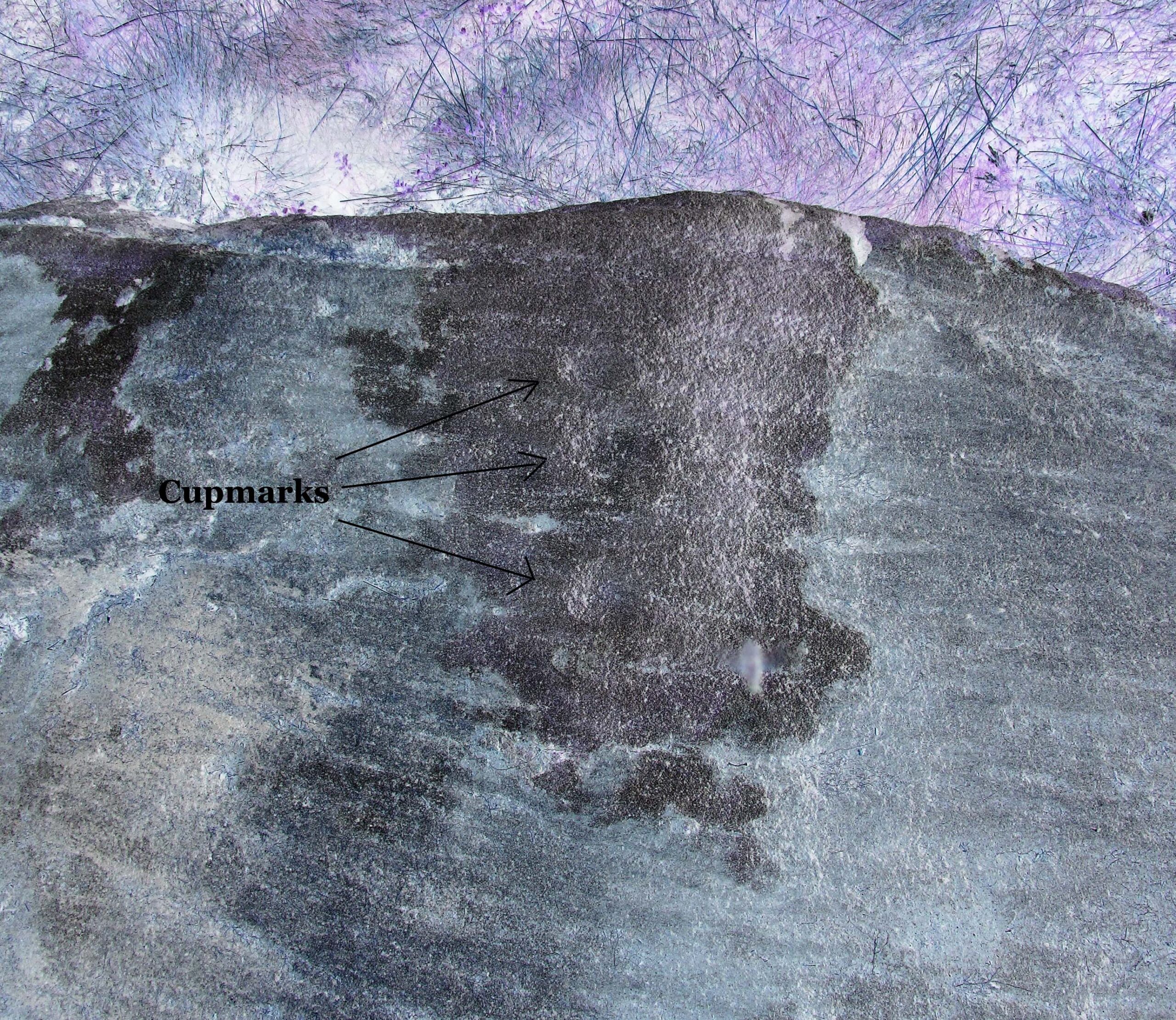
If you’re doing the Rivock rock art tour, you might as well give this a go once you’ve checked ou the decent ones nearby. Here, on a rather large stone we find, on its uppermost ridge, three faint cup-marks next to each other in a very slight curve. The cup-mark in the middle is slightly larger than its two compatriots and might be natural. If you were to wet the rock when the sunlight is just right, you’ll probably get a better idea of its real appearance—otherwise we’ll have to let the computer-gadget lads suss it out!
Sacred Wells (destroyed): OS Grid Reference – TF 32603 87555
Also Known as:
Little Wells
Archaeology & History
Small Well on 1834 map
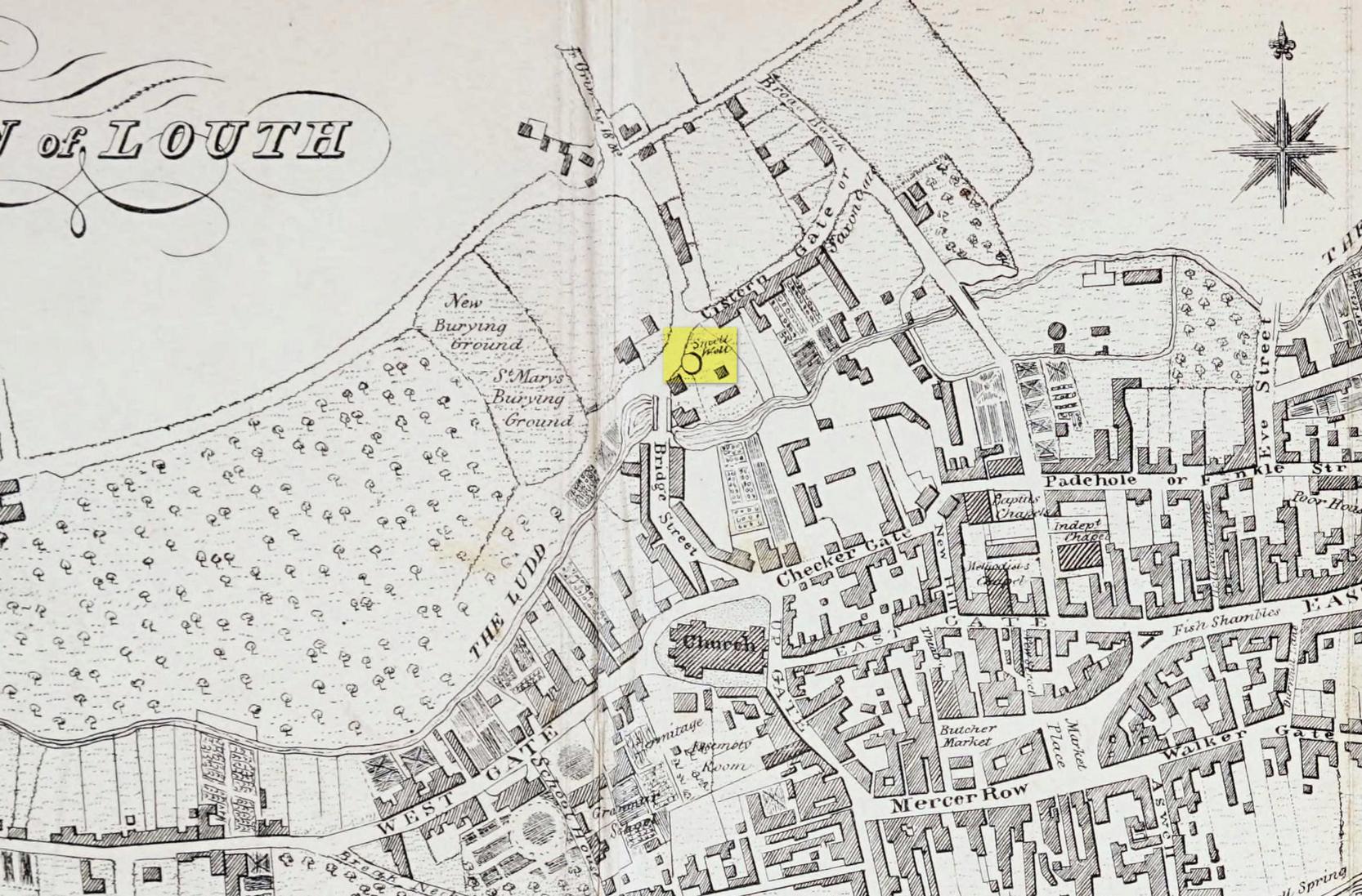
Of the three wells in old Louth around which local ceremonies occurred, the Small Wells were apparently the least impressive. Its ritualised compatriots south of the River Lud in St. Helen’s Well and the Ash Well (the Aswell in modern Louth place-names) were reportedly the much better water supplies in bygone times. The site was highlighted on a map of the town in Robert Bayley’s (1834) history of the area, showing it as a small pool just below the Cistern Gate road; but when the Ordnance Survey lads came here later in the 19th century it had already gone.
It’s category here as a “sacred” well is due to it being annually decorated with garlands of flowers, commonly known today as well-dressing. Such wells tend to be places of pre-christian rites, attended by local people at dawn usually at Beltane or at Midsummer (St John’s Eve); but I’ve been unable to find out which was the sacred day when the waters here were honoured. All that we have left to tell us of the rites is from old township notes that said how,
““The small wells,” a cluster of little springs on the north of the town, shared in the honours of green boughs and popular huzzahs” the traditions held at the wells of St. Helen and Aswell a half-mile to the south.
A brief 16th century account told of a local man being paid for the adornment of the Small Wells: one “Henery Forman received for dressing small wells for a yeare – xiid” – or 12 pennies in old money. Not bad at all in them days!
Healing Well (destroyed): OS Grid Reference – NO 4032 3025
Archaeology & History
This old water supply had no direct ‘holy’ nature, despite its proximity to the cathedral, the old market cross and St Clement’s Well some fifty yards away! Most odd. A much more mundane story lies behind this long lost water source. The Dundee historian William Kidd (1901) told us,
“When the public wells were erected, about the year 1749, to supply the town with water from the Lady-well reservoir at foot of Hilltown, one was placed on the High Street, on the east side of the Cross, and was called the Cross Well.”
It didn’t have too long a life either—much like the old Market Cross, for,
“In the year 1777 that quaint structure was demolished. The platform and octagonal tower were carted away as rubbish, the least decayed stones being selected to be used in other buildings. The stone shaft, also, was preserved, and placed beside the Old Steeple. With the demolition of the Cross, the Cross Well was cleared away from the High Street, but, as water was an essential to the people, the well was re-erected behind the Town House in St. Clement’s Lane. In that situation it remained for nearly one hundred years, when, being rendered unnecessary by the introduction of the Lintrathen water supply, it was also demolished, along with the old buildings in the Vault and St. Clement’s Lane, to make room for the additions to the Town House.”
References:
Colville, A., Dundee Delineated, A. Colville: Dundee 1822.
Legendary Rock (destroyed): OS Grid Reference – NJ 89397 49502
Also Known as:
Crawey Stone
Crawford Putting Stone
Crawstane
Devils Putting Stone
Archaeology & History
Stone shown on 1874 map
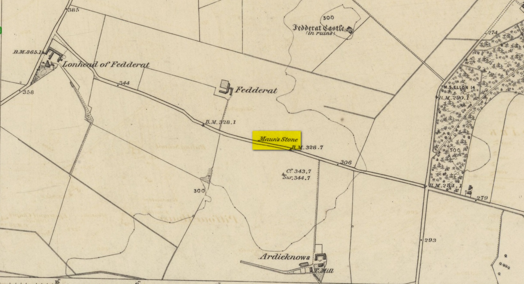
A site whose main claim to fame is its legendary nature. Seemingly buried or destroyed around the end of the 19th century, there have been suspicions that the stone might have had cup-marks on it (see Folklore below), but we’re not sure. Modern lore tells that when roadworks were done here in the 1950, a large stone was uncovered. A local man who was passing by told that he’d seen the Crawey Stone in his youth and that the stone they’d uncovered was one and the same.
Folklore
The story that used to be told amongst local people was thankfully preserved in an article by the pseudonymous “Mormond” (1889) in Scottish Notes & Queries. He told that:
“In the parish of New Deer, and in a field near the Old Castle of Fedderat, there is a large boulder of ten or twelve tons known as the Crawey Stone. I am unable to say if it still occupies its old site, or if it has been broken up for building purposes. The legend connected with this stone used to be well known in the parish, and a version of it appeared in The Aberdeen Magazine some 70 or 80 years ago. This version is substantially the same as the legend known in the district, and relates how a Crawford, the lord of the castle and lands, one day “as he looked o’er his castle wa’ ” — a phrase which often occurs in old ballads — observed a crunkled carl (old woman or witch, PB) inspecting the stone and afterwards successfully lifting up one end clear of the ground. Not to be conquered by such a shabby looking stranger, the laird, who was famed for his athletic powers, went out and challenged the carl; but on attempting to lift the boulder, burst a blood vessel; and the carl, who stood by watching him, suddenly disappeared in a flash of fire taking the remains of the laird along with her. The tradition is that the laird was not mourned for in the district, and the moral drawn was “He couldna hae expected ony ither en’.” When passing the boulder going to school, the legend was often referred to, and some indentations on it pointed out as the marks of the ill man’s fingers made at the time the superhuman feat was accomplished.”
These finger marks have been taken as possible cup-markings. They might have been, but we simply don’t know; they may just have been curious natural markings that gave rise to this animistic creation myth. Another tale told that the markings were due to an old giant in the neighbourhood who used the rock as a putting stone and rolled it to the spot where it used to stand. Giants are always attached to indigenous creation myths, some of which go back thousands of years.
“a large Stone of a roundish shape, built on an old fence, forming a side of the Public road leading from New Deer to Brocklay. Tradition asserts that it has been the putting Stone of a Giant in ancient times. There are Several holes in the Stone said to be the finger marks of the Giant.”
Cup-Marked Stone (destroyed): OS Grid Reference – NJ 4124 5308
Archaeology & History
Diagonally across the road from Killiesmont, about a hundred yards up the sloping field on “a piece of ground called the Helliman Rig,” could once be seen a large flat stone with cup-markings on its surface. Walter Gregor (1881) told that,
“It lay on the top of a rising ground, and commanded a very wide view of the country, stretching for many miles over the hills of Banff and Moray. In a part of it the rock–a kind of slate–came to the surface. In the rock were cut out nine cups in three rows.”
The carving was earlier described in one of the Topographical Gazetteers of Scotland (1848) where its story is bound up with local tradition and folklore of the land where it lie. There it was described as being “a flat circular stone of about 8 feet in diameter, in which there are a number of holes, but for what purpose tradition is silent.” Subsequently the local historian J.F.S. Gordon (1880) talked of this “large flat circular Stone, of about 8 feet in diameter, in which there was a number of half-pierced holes…. It was too large for a Quern or even a Millstone; and its purpose remained an enigma.”
The stone came to light when a local farmer was digging in the field and, “at the upper end of the Rig, there was found a rude Cist among a heap of stones, which contained ashes.” The cup-marked stone was “turned up” at the same time. It has sadly been destroyed—along with the associated cairn that probably had some relationship with the carving. Prehistoric tombs and rock art are frequent bedfellows and it seems likely that the equation occurred here. But the location of the site had some fascinating local lore told of it…
Folklore
The location of this carved stone in the field called ‘Helliman Rig’, was also known as the Guidman’s Croft or the Gi’en Rig. This was a portion of land that was never to be touched or ploughed as it was “given or appropriated…to the sole use of the devil, in order to propitiate the good services of that malign being.” This devilish tradition superseded the earlier faith of it being a place set aside for the fairy folk and their allies—nature spirits no less. And it’s a tradition found in many places across Scotland and elsewhere, as the account in the Scottish Gazetteer told :
“Like other crofts of this description in Scotland, the present remained long uncultivated, in spite of the spread of intelligence (pedantic bastard! PB). The first attempt to reclaim it was made not more than 50 years since, when a farmer endeavoured to improve it; but, by an accidental circumstance, it happened that no sooner had the plough entered the ground than one of the oxen dropped down dead. Taking this as an irrefragable proof of the indignation of its supernatural proprietor, the peasant desisted, and it remained untilled till it came into the possession of the present occupant…”
This of course fortified the old folklore in the eyes of local people. I’ve found that even up to recent times, such folklore is still held quite seriously by some of the old folk in the mountain villages and hamlets.