Holy Well (destroyed): OS Grid reference – SX 3285 8477
Archaeology & History
Very little is known about this holy well on the north-western side of town that was apparently destroyed sometime in the 19th century; for when the Ordnance Survey lads visited here in 1882, they found no running water but only the location of where it had been and they indicated this on their 1884 map of the area, marked as “Site of.”
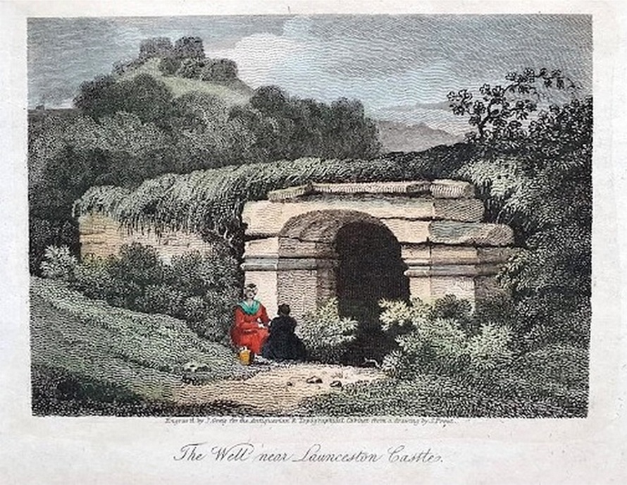
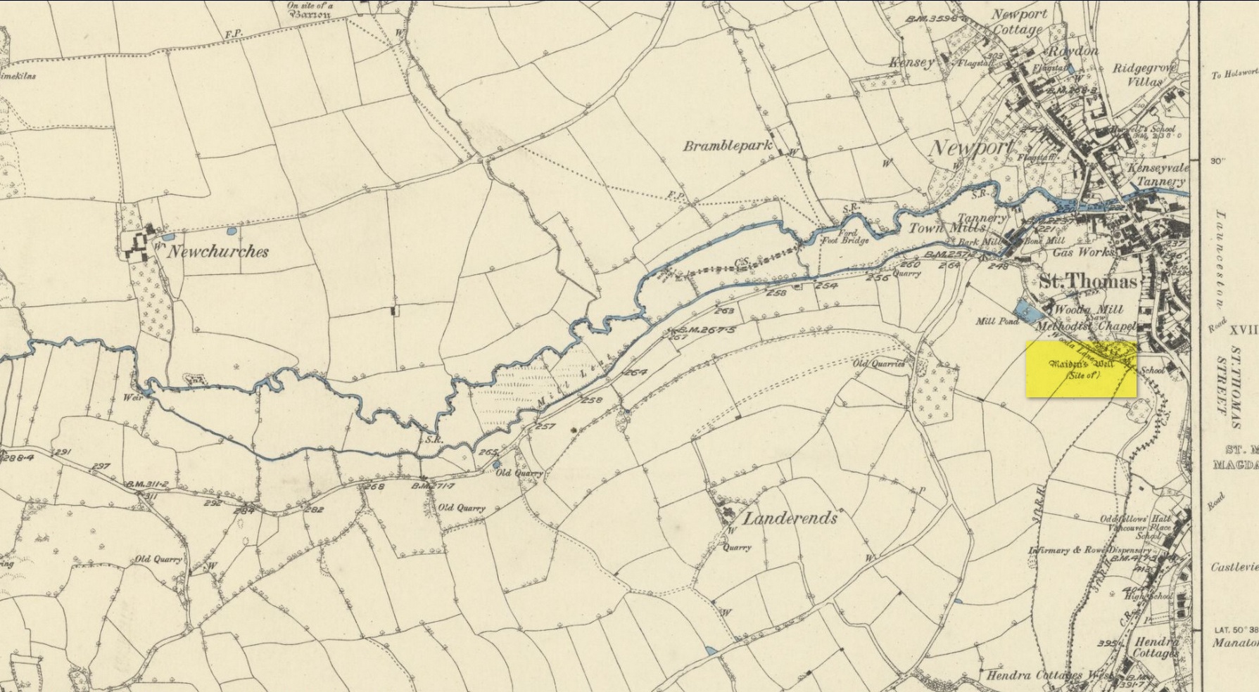
It was first mentioned in a short topographical notice in 1582, which told that the “Magden Well in the Quarrie Haye”—along with another well—was “found to be in decay.” (Peter 1885) Then, when the Ordnance Survey lads resurveyed the area once more in 1951, they could find no trace of it. It was mentioned in passing in Peter’s (1885) local history work, but there seems to be little else written about the place, which is a little odd for this part of the world. Anyone know anything more…?
References:
- Peter, Richard, The Histories of Launceston and Dunheved, W. Brendon: Plymouth 1885.
Acknowledgements: Big thanks for use of the early edition OS-map in this site profile, Reproduced with the kind permission of the National Library of Scotland.
© Paul Bennett, The Northern Antiquarian