Holy Well, Barking, Essex

Holy Well (destroyed):  OS Grid Reference – TQ 4421 8484

Archaeology & History

Barely 200 yards to the immediate southeastern edge of the once gigantic hillfort of Uphall Camp, could once be found an old holy well, last recorded it would seem in 1456.  The site was located just yards to the south of the old boundary that separates the parishes of Ilford and Dagenham.  Its location was described in the Victoria County History:

“A mile south of Ilford Bridge the Roding is joined by Loxford Water, a stream rising near Hog Hill, in Dagenham, and known in its upper reaches as Seven Kings Water. In 1456 the lower part of the stream was called Halywellbrooke.”

We also have an account in the Barking Abbey Rental, which told us there was “land in Longland at Halywellbrooke”, as well as “pasture lying at the northern head of Luzias land…near Halywell and…at Loxfordbrigge.” (Harte 2008)  It has long since been destroyed.

References:

  1. Harte, Jeremy, English Holy Wells – volume 2, Heart of Albion Press: Marlborough 2008.
  2. Powell, W.R. (ed.), A Victoria County History of Essex – volume 5, OUP: London 1966.

LinksHoly Well, Barking on The Megalithic Portal


Cloven Hoof Well, Shipley Glen, West Yorkshire

Sacred Well:  OS Grid Reference – SE 12839 39331

Also Known as:

  1. Raygate Well

Getting Here

Cloven Hoof Well, Shipley Glen

On the roadside at Shipley Glen, from Brackenhall Circle walk up for about 250 yards, where you’ll notice the land dips as it drops into the woods below. Follow this dried stream down until you reach the mossy Loadpit Beck in the valley.  By the waterside is a footpath: follow this upstream for a short distance, keeping your eyes peeled on the Earth below where a smaller stream crosses the path you’re walking on.  Follow this uphill to its source!

Archaeology & History

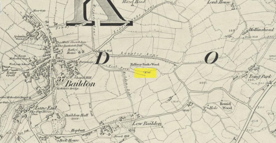
Halfway up (or down) the moss-covered waters of Shipley Glen the all-but-forgotten waters of the Cloven Hoof Well still flows nice and freely, and is still good to drink. It was shown on the first OS-map of the area in 1852, where it was called the Raygate Well, whose derivation neither the great Baildon historian W. Paley Baildon nor the place-name giant A.H. Smith could account for.  It sounds just like it was someone’s surname, but local genealogy cannot affirm this.  One possibility—and which reflects in the local lore of the site—is that it’s a compound word from the old northern dialect word Rea, “an evil spirit or demon”, and gate, “a hole, an opening or gap.”  The terms are used in a prayer given in Mr Sinclair’s Satan’s Invisible World Displayed (1814),

“as recited in the time of Popery by persons when going to bed, as a means of them being preserved from danger:

“Keep this house from the weir…
And from an ill Rea,
That be the gate can gae.””

But this purely speculative….

Cloven Hoof Well on 1852 map

A photograph and brief description of the Cloven Hoof Well was given in an early edition of the Bradford Scientific Journal after a geological excursion to Shipley, though nothing was said of its curious name. However on a rock below the spring, a hoof-print mark is clearly seen.  It appears to be part-natural and partly enhanced.  This is an area rich in prehistoric petroglyphs, or cup and rings stones.

Mosses thankfully still cover the rocks from whence the waters flow; and bilberry, blackberry, male fern and bracken also grow around it.  Psychoactive plants also abound nearby. The water is healthy and never seems to dry up, even during long warm summers.  And below here, on the other side of the stream at the bottom, you can visit the little-known Wood Well

Folklore

Local lore told that the devil stepped here and left his hoof-mark in the rock, making the waters rise from the Earth.  Possibly a venerated site in earlier days, one finds numerous ancient remains nearby (cup and rings, stone circle, walling, cairn fields).  Pagans amongst you should love this place!

References:

  1. Armitage, Paul, The Holy Wells and Healing Springs of West Yorkshire, forthcoming
  2. Baildon, W. Paley, Baildon and the Baildons (parts 1-15), St. Catherines: Adelphi 1913-26.
  3. la Page, John, The Story of Baildon, William Byles: London 1951.

© Paul BennettThe Northern Antiquarian

Mineral Well, Glen Lyon, Perthshire

Healing Well:  OS Grid Reference – NN 72110 47768

Also Known as:

  1. Iron Well

Getting Here

Mineral Well, Glen Lyon

From Fortingall village, head west and turn down into the incredible beauty that is Glen Lyon.  As you enter the trees, a half-mile along you pass the small gorge of MacGregor’s Leap in the river below.  2-300 yards pass this, keep your eyes peeled for an old small overgrown walled structure on the left-hand side of the road, barely above the road itself.  A large tree grows up above the tiny walled enclosure, within which are the unclear waters that trickle gently….

Archaeology & History

In previous centuries, this all-but-forgotten spring of water wasn’t just a medicinal spring, but was one of the countless sites where sympathetic magick was practised.  The old Highlanders would have had a name for the spirit residing at these waters, but it seems to have been lost.  The site is described in Alexander Stewart’s (1928) magnum opus on this stunning glen, where he wrote:

“Still a few yards more and Glenlyon’s famous mineral wishing well is seen gushing up, surrounded by its wall of rough stones now sadly in need of repair.  It has a stone shelf to receive the offerings of those who still retain a trace of superstition or like to uphold old customs as they partake of its waters.  The offerings usually consist of small pebbles, but occasionally something more valuable is found among them. The roadmen may clear that shelf as often as they like, but it is seldom empty for long.”

A local lady from Killin told us that she remembers the stone above the well still having offerings left on it 20-30 years ago. Hilary Wheater (1981) sketched it and called it the Iron Well.

Close-up of the waters (photo by Paul Hornby)
Hilary Wheater’s sketch

The waters in this small roadside well-house actually emerge some 50 yards up the steep hillside (recently deforested) and in parts have that distinct oily surface that typifies chalybeates, or iron-bearing springs – which this site is an example of.  Its medicinal properties would help to people with anaemia; to heal women just after childbirth; to aid those who’d been injured and lost blood; as well as to fortify the blood and stimulate the system.

Across the road from the well, Stewart (1928) told of a giant lime tree that was long known to be the meeting place for lovers (perhaps relating to the well?), and the name of the River Lyon here is the Poll-a-Chlaidheamh, or ‘the pool of the sword’, whose history and folklore fell prey to the ethnic cleansing of the english.

References:

  1. Stewart, Alexander, A Highland Parish, Alexander Maclaren: Glasgow 1928.
  2. Wheater, Hilary, Aberfeldy to Glenlyon, Appin Publications: Aberfeldy 1981.

© Paul BennettThe Northern Antiquarian

Clochoderick Stone, Kilbarchan, Renfrewshire

Rocking Stone:  OS Grid Reference – NS 37363 61280

Also Known as:

  1. Canmore ID 42329

Archaeology & History

The Clochoderick Stone

On the outer southern edge of Kilbarchan parish—right near the ancient boundary line itself—this giant stone of the druids is seems to be well-known by local folk.  Located about 40 yards away from the sacred ‘St Bride’s Burn’ (her ‘Well’ is several hundred yards to the west), it was known to have been a rocking stone in early traditions, but as Glaswegian antiquarian Frank Mercer told us, “the stone no longer moves.”  The creation myths underscoring its existence, as Robert Mackenzie (1902) told us, say

“This remarkable stone, thought by some to have been set up by the druids, and by others to have been carried hither by a glacier, is now believed to be the top of a buried lava cone rising through lavas of different kind.”

Clochoderick Stone on 1857 map

The site was highlighted on the first OS-map of the area in 1857, but the earliest mention of it seems to be as far back as 1204 CE, where it was named as Clochrodric and variants on that title several times in the 13th century.  It was suggested by the old place-name student, Sir H. Maxwell, to derive from ‘the Stone of Ryderch’, who was the ruler of Strathclyde in the 6th century.  He may be right.

Folklore

Folklore told that this stone was not only the place where the druids held office and dispensed justice, but that it was also the burial-place of the Strathclyde King, Ryderch Hael.

References

  1. Campsie, Alison, “Scotland’s Mysterious Rocking Stones,” in The Scotsman, 17 August, 2017.
  2. MacKenzie, Robert D., Kilbarchan: A Parish History, Alexander Gardner: Paisley 1902.

Acknowledgements:  Big thanks to Frank Mercer for use of his photos and catalytic inception for this site profile.

© Paul BennettThe Northern Antiquarian

Castleton (2), Cowie, Stirling, Stirlingshire

Cup-and-Ring Stone:  OS Grid Reference – NS 85494 88272

Also Known as:

  1. Castleton 9 (van Hoek)

Getting Here

Castleton 2 carving, Airth

If you’re travelling from Stirling or Bannockburn, take the B9124 east to Cowie (and past it) for 3¾ miles (6km), turning left at the small crossroads; or if you’re coming from Airth, the same B9124 road west for just about 3 miles, turning right at the same minor crossroads up the long straight road. Drive to the dead-end of the road and park up, then walk back up the road 350 yards to the small copse of trees on your left.  Therein, some 50 yards or so, zigzag about!

Archaeology & History

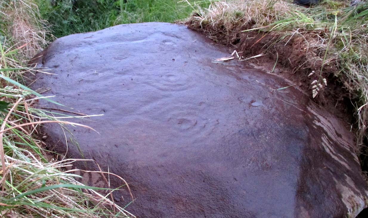
Petroglyphs can be troublesome things at the best of time: not only in their ever-elusive root meanings, but even their appearance is troublesome!  This example to the east of Cowie in the incredible Castleton complex is one such case.  It is undoubtedly a multi-period carving, probably first started in the neolithic period, added onto in the Bronze Age, and maybe even finished in the early christian period.  You’ll see why!

It’s been described several times in the past, with Maarten van Hoek (1996) telling how it was rediscovered,

“by Mrs Margaret Morris in 1986 in the birch-coppice at Castleton Wood. A fragment of outcrop rock with a distinct cup-and-three-rings, rather oval-shaped like others in the area.”

The main cup-and-3-rings (photo, Paul Hornby)

But as our own team found out, there’s more to it than that.  Like many of the Castleton carvings, vital elements have been missed in the previous archaeological assessments.  But it’s an easy thing to do.  The carved design here almost ebbs and flows with daylight, shadows, changes in weather, bringing out what aboriginal and traditional peoples have always told us about rock itself, i.e., it’s alive, with qualities and virtues that can and do befuddle even that great domain of ‘objectivity’—itself an emergent construct of an entirely subjective creature (humans).  But that’s what petroglyphs do!—whether they are part of a living tradition, or lost in our striving modernity, exhibiting once more that implicit terrain of animism.  And this carving exemplifies it very clearly.

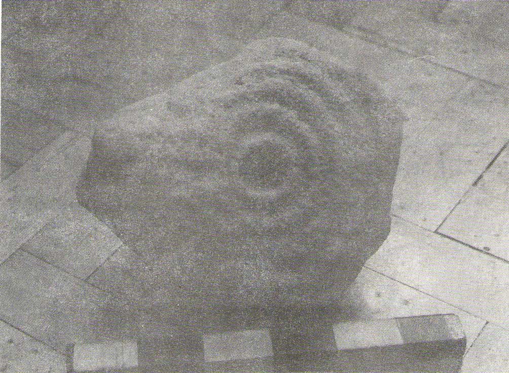
The primary visual design is the odd triple-ring, which isn’t quite as clear-cut as the earlier descriptions would have you think.  In the drawing below by van Hoek (1996), three complete elliptical ‘rings’ are shown; whereas on its northern edge where the outer ring is closest to the rock edge, we find that the ‘ring’ has carved lines that run off and down the slope of the stone towards ground-level.  It also seems that from the inner second-ring, a natural scar in the rock has been heightened by pecking, creating an artificial carved line running from near the centre and ‘out’ of the three rings.  You can make this out in the accompanying photo, above.

van Hoek’s 1996 sketch
The more complete design

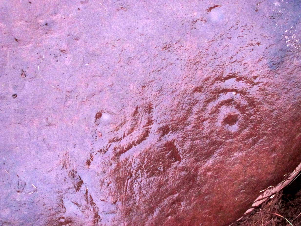
Additionally we found two very faint carved ‘eyes’ or trapezoids pecked onto the stone, obviously at a much earlier date than the notable triple-ring—which could almost be modern!  They would no doubt have excited the old archaeologist O.G.S. Crawford (1957), whose curious theory of petroglyphs was that they were images of some sort of Eye Goddess.  Archaeo’s can come out with some strange ideas sometimes…

Fainter still was another triple-ring—albeit incomplete—with what appears to be a very small central cup-mark, just below and between the two ‘eyes’.  It was first noticed by Paul Hornby when he was playing with the contrast settings on his camera, in the hope of getting clearer photos of any missing elements.

Very faint triple-ring, bottom-left of photo (photo by Paul Hornby)

“Can you see this?” he asked.  And although very faint indeed (on most days you can’t see it at all), it’s undoubtedly there: another multiple-ringer all but lost by the erosion of countless centuries, and older still than the ‘eyes’ above it.  In all the photos we took of this stone, from different angles in different weathers (about 100 in all), this very faint triple-ring can only be seen on a handful of images.  But it’s definitely there and you can see it faintly in the attached image (right) to the bottom-left.

A final note has to be made of a possible unfinished, large circular section with a cross carved into the natural feature of the stone, first noticed by Lisa Samson.  It’s uncertain whether this has been touched by human hands (are there any geologists reading?), but it’s something that we’re noticing increasingly at more and more petroglyph sites.  They’re not common, but it has to be said that we found two more man-made ‘crosses’ attached to multiple cup-and-rings near Killin just a few weeks ago.  Also, folklore tells us that not far from this Castleton cluster, a christian hermit once lived….

References:

  1. Crawford, O.G.S., The Eye Goddess, Phoenix House: London 1957.
  2. Morris, Ronald W.B., The Prehistoric Rock Art of Southern Scotland, BAR: Oxford 1981.
  3. van Hoek, M.A.M.,”Prehistoric Rock Art around Castleton Farm, Airth,” in Forth Naturalist & Historian, volume 19, 1996.

Acknowledgements:  Huge thanks as always to Nina Harris, Fraser & Lisa Harrick, Paul Hornby, Penny & Thea Sinclair, for their additional senses and input.

© Paul BennettThe Northern Antiquarian

Sarah’s Stone, Borgie, Tongue, Sutherland

Cup-Marked Stone: OS Grid Reference – NC 66791 60343

Getting Here

Sarah, on top of her stone!

There’s no simple way to reach here – but the landscape alone makes the journey worthwhile.  Roughly halfway along the A836 between Bettyhill and Tongue, take the minor road up to Borgie, past the recently revamped Borgie Hotel for half-a-mile (0.8 km) where, on your left, is Deepburn Cottage.  On the other side of the road, on your left, go through the gate and follow the path uphill. It curves up and to the right where you hit some overgrown walling.  Walk up and along this wall for nearly half-a-mile (it’ll feel like twice that!) and as you approach the crystal blue waters of Lochan a’ Chaorruin, veer right and start walking up the small Torrisdale Burn.  Less than 200 yards along, you’ll see the large isolated rock on your left.

Archaeology & History

Cupmarks top & bottom
Single prominent cupmark

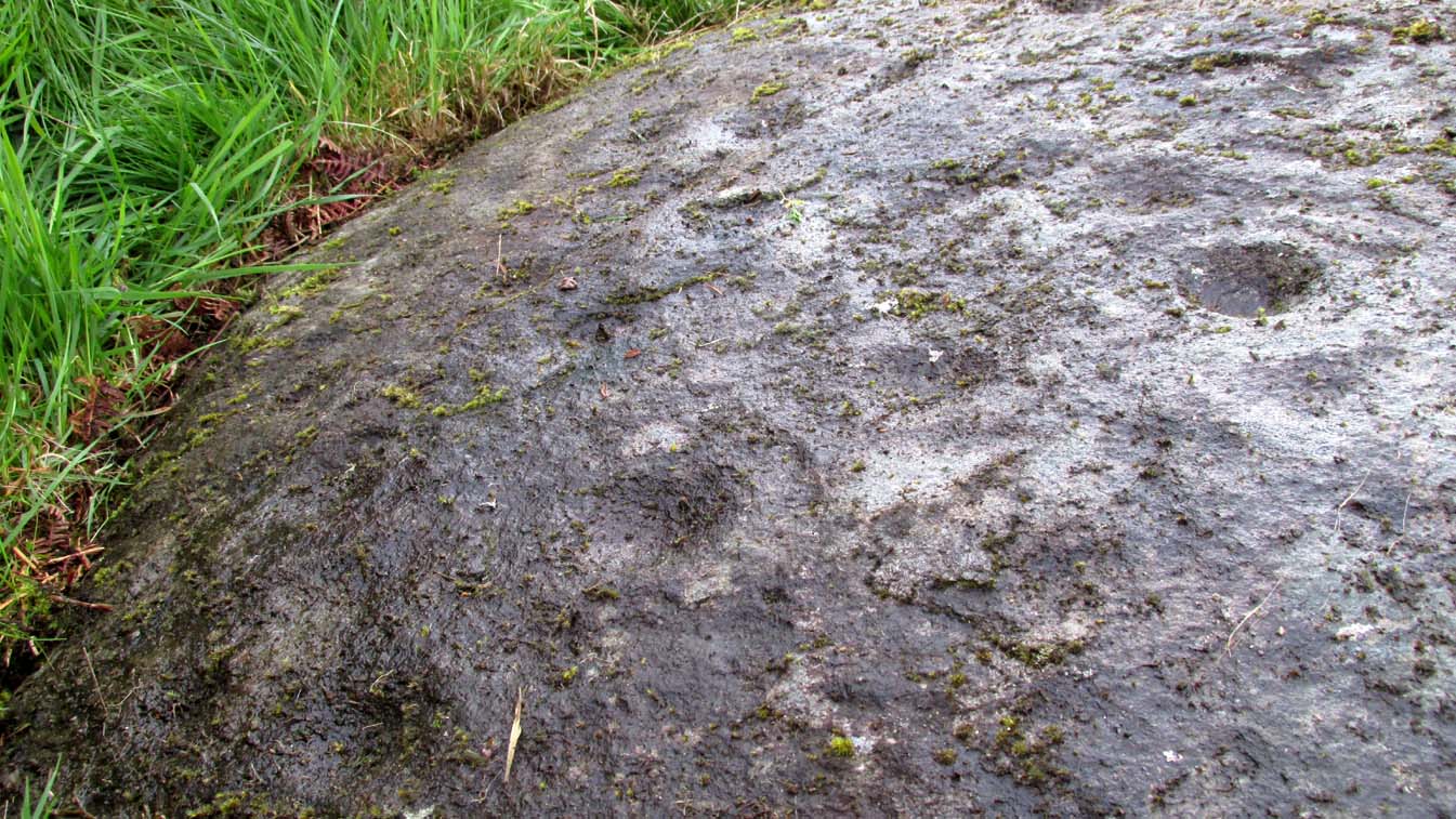
Previously unrecorded, this large boulder sitting above the edge of Torrisdale Burn was rediscovered by Sarah MacLean—hence its name—and has between five and nine cup-marks etched, primarily, on the topmost ridge of the rock.  Its eastern steep-sloping face also has a cup-mark near the middle top-half of the stone.  Apart from three of them (visible in the photos), the other cups aren’t very distinct and unless the lighting is right, you won’t see much here.  This one is probably gonna be of little interest unless you’re a real hardcore petroglyph freak.

Further up this tiny winding glen we reach the faint cup-marked Thorrisdail Stone and a little further on is the impressive ritual site of Allt Thorrisdail.

© Paul BennettThe Northern Antiquarian

Castleton (2b), Cowie, Stirlingshire

Cup-and-Ring Stone:  OS Grid Reference – NS 85520 88214

Getting Here

Castleton (2) carving

If you’re coming via Castleton Farm, at the back of the farm go through the gate on the right, by the corner of the field and walk along the line of the wall for 200 yards  northwest until you approach the small copse of trees ahead of you.  Just before the trees, instead, walk up the slope, SW, to the other small copse, and about 15 yards along the line of trees, go into them.  Keep your eyes peeled on the upwards sloping ground where a gap in the greenery shows you the stone in question!

Archaeology & History

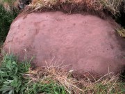
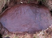
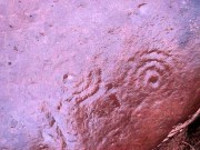
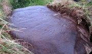
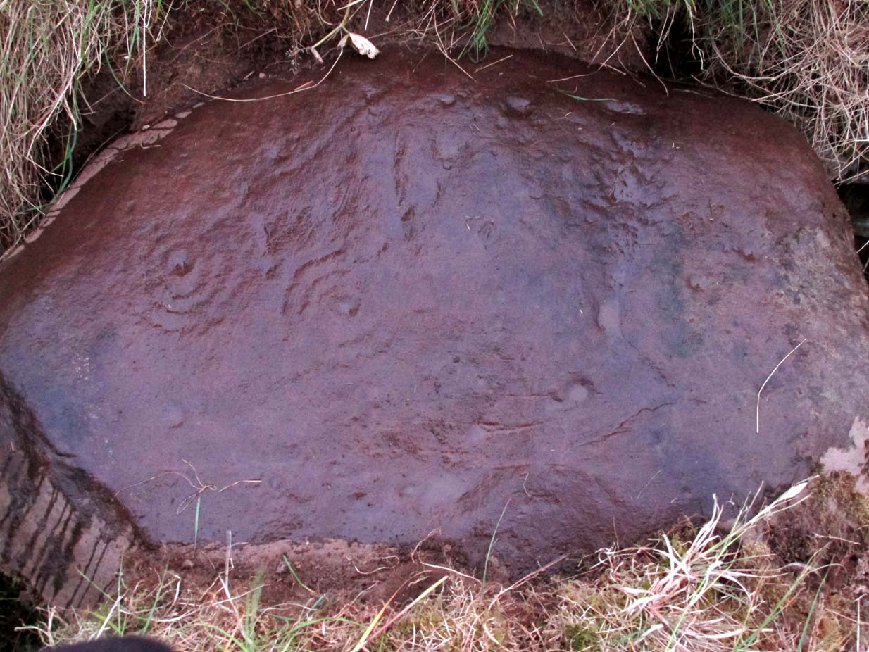
This is an odd one.  Amidst the array of truly ancient and well-eroded multiple cup-and-ring stones in the incredible Castleton complex, this small design on the northeast slope away from the main cluster, has a distinctly different appearance about it when we compare it to the others along the ridge.  It’s not been done by the same person or people who carved the more ornate designs close by.  Indeed, it seems that it wasn’t even done at the same period but has a history that is much more recent.

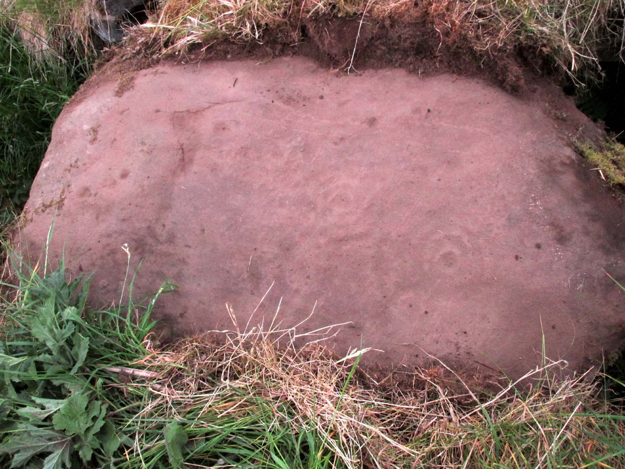
The carving, as you can see in the photos, has a somewhat scruffy look about it when compared to the more usual designs.  If it’s prehistoric, it has the hallmarks of being done by someone with rock art dyslexia!  My own view is that it’s a pretty recent carving. It’s possible, perhaps, that it may have been executed by a medieval christian priest who lived a short distance to the east and whose cross markings are evident on at least one of the other cup-and-rings hereby.  But the carving might be even more recent: perhaps 19th Century in origin.  It just doesn’t have that air of authenticity about it, as any seasoned petroglyph officionado would tell you.  And we have to bear in mind that this was the site of a quarry in the 18th and 19th century, so the carving might have been done at that time by one of the workers to mimic the very ancient and faded designs close by.  Anyhow…

The design consists of two distinct and deeply carved rings around a central raised point, in which it looks as if someone started to create a cup-mark, but never finished the job!  The same can be said of an third outer-ring, whose faint outline is clearly visible in decent light, but which was started but never finished.  Make of it what you will.  When we first found this carving in 2019, someone had been up and already peeled back the turf (“there were a group o’ folk,” the farmer told me), thankfully showing the carving in its crude glory.  The Canmore website informs us that the stone was first unfurled by George Currie in 2006, who said that it was little more than “a ring surrounded by a central boss”—but there’s clearly more to it than that and I wonder if this is actually the same carving that Mr Currie found.

Note: The name of this and the other carvings in the Castleton complex need completely re-designating into an accurate order, as they’ve been defined and redefined by various authors and groups over the years, leaving them in a disorganized haphazard mess.

© Paul BennettThe Northern Antiquarian
Tun Well, Eccleshill, Bradford, West Yorkshire

Healing Well:  OS Grid Reference – SE 1822 3593

Also Known as:

  1. Tunny Well

Archaeology & History

Tun Well, on 1893 map

First mentioned in local history accounts from 1618—as the Tunwells—it was highlighted on the first OS-map of Eccleshill in 1851.  Located on the aptly-named Tunwell Lane, it was a deep well covered by a large flat slab of stone, at the back-end the old Victorian mill.  The stone was put there to prevent children falling into it.  Some old locals thought the name of the place derived from a ‘tun’, or hundred, meaning it to be a hundred feet deep; although as A.H. Smith (1961) tells, tun could equally relate it to be one of Eccleshill’s town wells, of which there were several.  It used to be one of the principal drinking supplies for the village and was said to rarely run dry.  In William Ranger’s (1854) survey, he told this to be one of the sites to which local people relied in times of drought, where the land-owner allowed local folk to collect their supplies.

Folklore

The old cobbled Tunwell Lane was long ago supposed to be the haunt of a phantom black dog: a visionary precursor of death and Underworld guardian. Its spirit came and went into the deep well.  I remember hearing tales of this when I was a young lad, as the old women who worked in the adjacent mills spoke of it.  The ghost of a so-called ‘white lady’ was also said to walk along Tunwell Lane.

In more recent times, Val Shepherd (2002) included this in her short survey of wells in the area as being on “an alignment” with Eccleshill’s Moor Well and Holy Well.  She thought “it may be part of a ley line”, but her alignment is inaccurate and doesn’t hit the spots.

References:

  1. Crapp, H.C. & Whitehead, Thomas, History of the Congregational Church at Eccleshill, Watmoughs: Idle 1938.
  2. Ranger, William, Report to the General Board of Health on a Preliminary Inquiry into the Sewerage, Drainage, and Supply of Water, and the Sanitary Condition of the Inhabitants of the Township of Eccleshill, George Eyre: London 1854.
  3. Shepherd, Val, Holy Wells of West Yorkshire and the Dales, Lepus: Bradford 2002.
  4. Smith, A.H., The Place-Names of the West Riding of Yorkshire – volume 3, Cambridge University Press 1961.

© Paul BennettThe Northern Antiquarian

Swithins Well, Rothwell, West Yorkshire

Healing Well (destroyed):  OS Grid Reference – SE 3442 2686

Also Known as:

  1. St. Swithin’s Well

Archaeology & History

Swithins Well on 1854 map

Highlighted in the fields on the south-side of Rothwell village on the 1854 OS-map, Swithin’s Well was, according to historian Andrea Smith (1982), previously known as a holy well, dedicated to the obscure Saxon saint of the same name.  Although no ‘well’ relating to St Swithin comes from any early texts, the field and farmhouse of ‘Swithins’ were cited in records from the Cartulary of Nostell Priory in 1270 CE; then subsequently in a variety of records throughout the 14th, 15th and 16th centuries.  According to Miss Smith (1982),

“The first recording of St Swithin’s Well, Rothwell…was on an estate map of 1792 (‘Plan of St. Clement’s lands in the parish of Rothwell in the County of York, two-third part of the tithes of corn and grain of which belong to the King in right of His Ducky of Lancaster’, PB), and the field-names arising from it—Swithin’s, Swithin’s Barn, Swithin’s Lane Close—serve to give an indication of the well’s past importance as a local landmark.”

When she visited the site around 1980, she reported finding,

“several wet patches running in a line westwards downhill, but the farmer’s wife seemed certain that this was a broken drain and nothing else could be seen in that field or neighbouring ones, which could have been the well.”

Very recently, the Wakefield pagan and antiquarian Steve Jones went to see if the well or any remains of it could still be seen and told us:

“We went looking for the well down a footpath but it was obviously filled in when a colliery was nearby in the early 20th century and (there is) no trace of any spring now.”

Another one’s bitten the dust, as they say…..

But we must note that the grand place-name authority, A.H. Smith (1962) found no references to St. Swithin here and instead suggested the name derived from the old Norse word, sviðinn, ‘land cleared by burning’, which is echoed in the old local dialect word swithen, ‘moorland cleared by burning’ (Smith 1956), and similarly echoed in Joseph Wright’s (1905) magnum opus, where—along with meaning ‘crooked, warped’—it means “to burn, superficially, as heather, wool, etc.”   There is also a complete lack of any mention to the saintly aspects of this place in John Batty’s (1877) primary history book on Rothwell parish, and yet he cites numerous other springs and wells in the region that have fallen out of history.

References:

  1. Batty, John, The History of Rothwell, privately printed: Rothwell 1877.
  2. Jones, Steve, Personal communication, Facebook 27.08.2018.
  3. Rattue, James, “The Wells of St Swithun,” in Source, Summer 1995.
  4. Smith, Andrea, “Holy Wells Around Leeds, Bradford & Pontefract,” in Wakefield Historical Journal 9, 1982.
  5. Smith, A.H., The Place-Names of the West Riding of Yorkshire – volume 2, Cambridge University Press 1961.
  6. Smith, A.H., English Place-Name Elements – volume 2, Cambridge University Press 1956.
  7. Wright, Joseph, English Dialect Dictionary – volume 5, Henry Frowde: Oxford 1905.

Acknowledgements:  Many thanks to Steve Jones of Wakefield for his informing us about the status of this site.

© Paul BennettThe Northern Antiquarian

St. Patrick’s Well (1), Dunruchan, Muthill, Perthshire

Holy Well:  OS Grid Reference – NN 77905 17365

Getting Here

St Patricks Well on 1863 map

Take the B827 road between Comrie and Braco. If you’re coming via Comrie, going uphill for 3.1 miles (5.1km); but if from Braco Roman Camp go along and eventually downhill for 6.6 miles (10.6km), watching out for the track to Middleton Farm by the roadside.  Walk along for 125 yards, keeping your eyes peeled for the boggy ground below on your left. You’re there!

Archaeology & History

Immediately east of the prodigious megalithic complex of Dunruchan, bubbling up amidst the usual Juncus conglomeratus reeds, are the boggy remnants of St. Patrick’s Well—one of two such sacred wells dedicated to the early Irish saint in Muthill parish. We’re at a loss as to why this Irish dood has such sites in his name in this area.  No doubt some transitional shamanic character was doing the rounds in this glorious landscape, muttering words of some neo-christian animism, eventually settling a mile from the great megalithic complex, perhaps hoping—and failing—to convert our healthy heathen populace into ways unwise.

The shallow boggy waters
The site of St Patricks Well

Whatever he may have been up to, a small stone chapel was built hereby and, it was said, even a christian graveyard, to tempt folk away from the ancient plain of cairns whence our ancestors had long since buried their dead.  But the christian’s chapel and graveyard has long since gone; and when historians before me had visited the place, St Patrick’s Well had also fallen back to Earth in the drier summers, taking the blood of the Earth back into Her body.  The heathen megaliths still remain however, standing proud on the moorland plain in clear sight from these once healing waters, whose mythic history, on the whole, has long since been disregarded….

Folklore

St Patrick’s day on March 17—”a date very near the Spring Equinox,” as Mrs Banks (1939) reminded us—may have been the dates when the waters here were deemed particularly efficacious, although we have nothing in written accounts to tell us for sure. But in the 19th century Statistical Account we find that the site was “much frequented once, as effectual in curing the hooping cough.”  E.J. Guthrie (1885) told of an ancient rite regarding the drinking of the waters for effect of the cure, saying:

“In the course of this century a family came from Edinburgh, a distance of nearly sixty miles, to have the benefit of the well. The water must be drunk before sunrise or immediately after it sets and that out of a “quick cow’s horn”, or a horn taken from a live cow, and probably dedicated to this saint.”

Also in Muthill parish, Guthrie told, St Patrick’s memory was held in such veneration that farmers and millers did not work on his day.

References:

  1. Banks, M. MacLeod, British Calendar Customs: Scotland – volume 2, Folk-lore Society: Glasgow 1939.
  2. Booth, C. Gordon, “St Patrick’s Well (Muthill Parish),” in Discovery & Excavation, Scotland, New Series volume 1, 2000.
  3. Guthrie, E.J., Old Scottish Customs, Thomas D. Morison: Glasgow 1885.
  4. MacKinlay, James M., Folklore of Scottish Lochs and Springs, William Hodge: Glasgow 1893.
  5. Morris, Ruth & Frank, Scottish Healing Wells, Alethea: Sandy 1982.

© Paul BennettThe Northern Antiquarian