Cup-and-Ring Stone (lost): OS Grid Reference – NS 9240 9752
Also Known as:
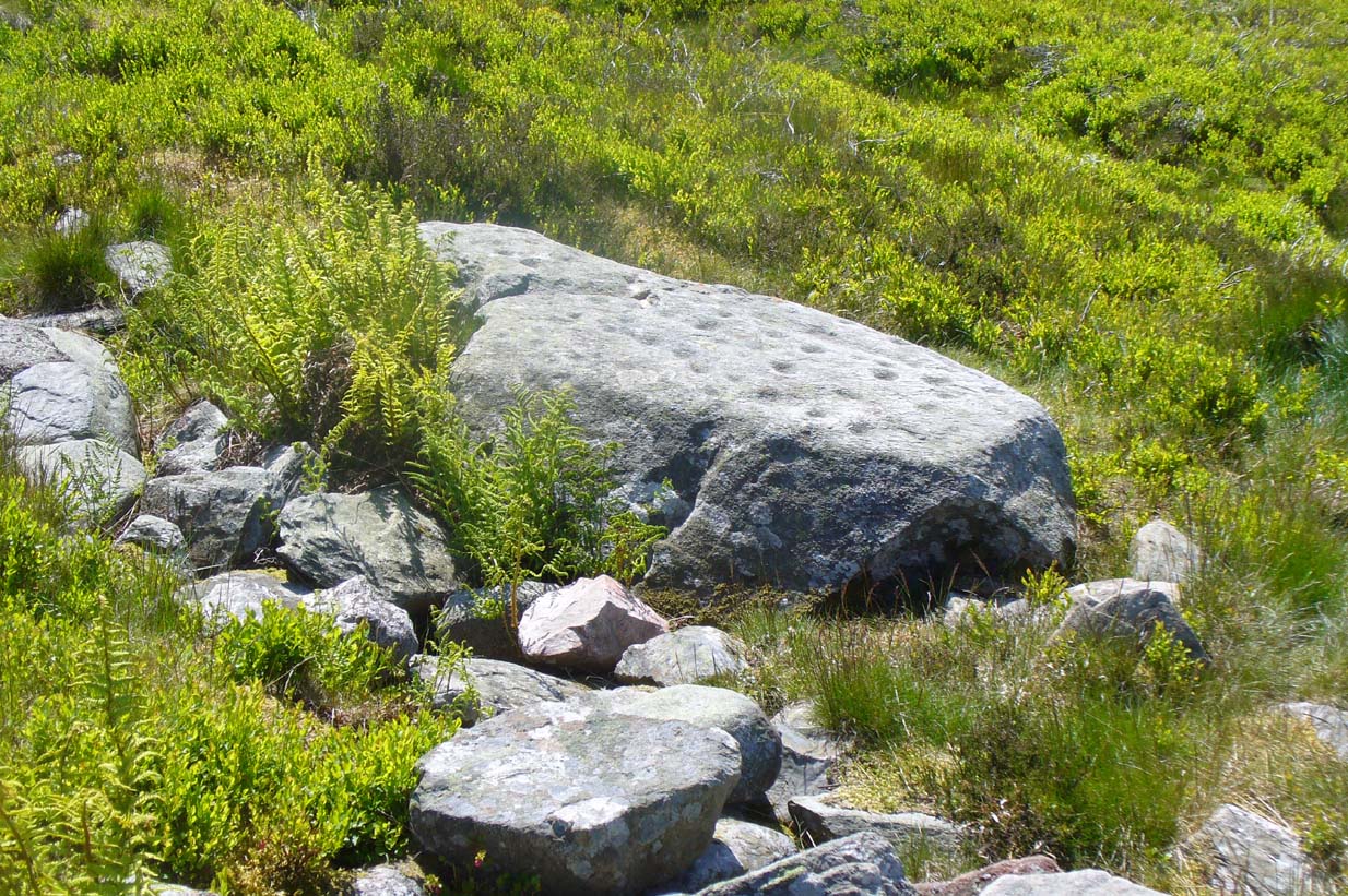
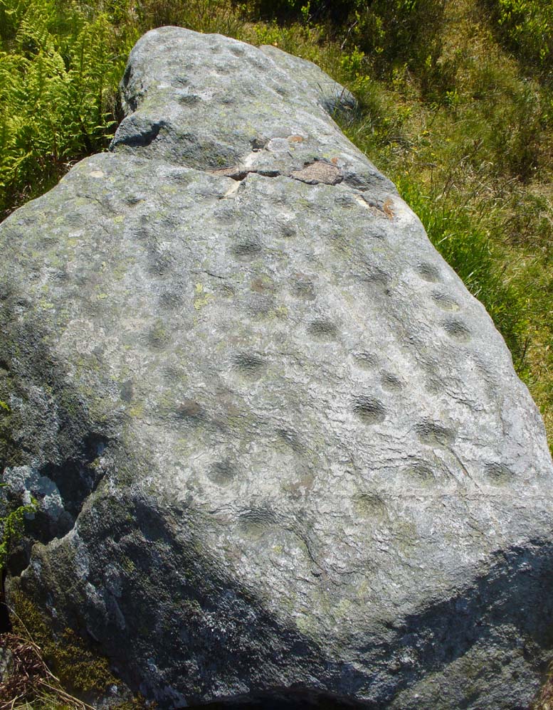
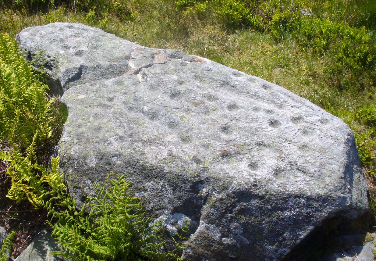
Archaeology & History

A recent visit to try find this intricate carving—the only one of its kind in Clackmannanshire—proved unsuccessful, and so I add it here in the hope that someone might know where it is and bring it back to light. It looked like quite an impressive petroglyph. If the stone isn’t hiding in undergrowth at the edge of someone’s garden, it may well have been destroyed—which would be appalling. As a unique design, this important carving should have been preserved. Even when the Victorian explorers found it, the covering stone circle had been greatly damaged and many stones in the ring had been removed. This carved stone remained intact however. When Mr R. Robertson (1895) and his friend visited the site, it was covered in sand and dirt and had fallen to the side of an internal cist:
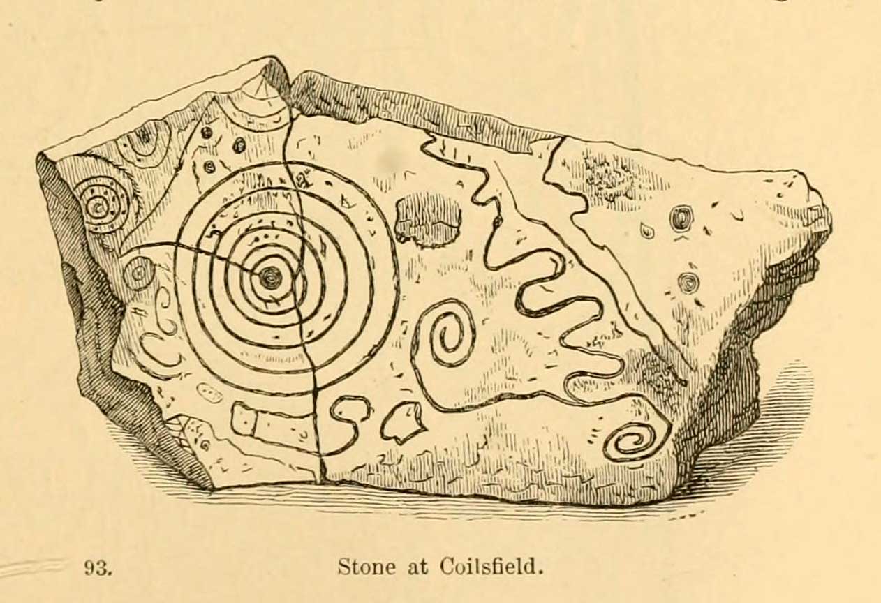
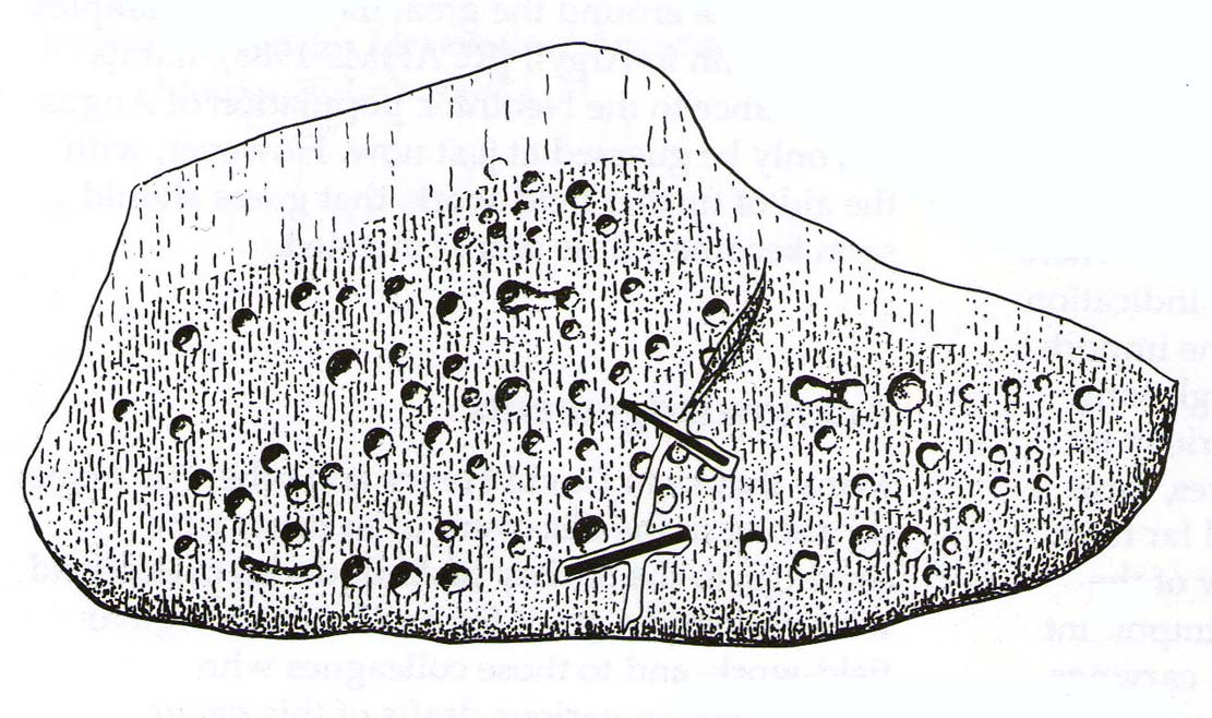
“On clearing this away a remarkable feature was brought to light. The block was found to be elaborately ornamented on its sides and upper surface, with rings, spirals and lines. The labour of cutting these in the hard granite with primitive tools of the period must have been very great. Several successful photos of the stone and its carvings were taken by Provost Westwood, Dollar…. This stone has now been removed to the vicinity of Tillicoultry for safety.”
In the same article, George Black told slightly more of the design:
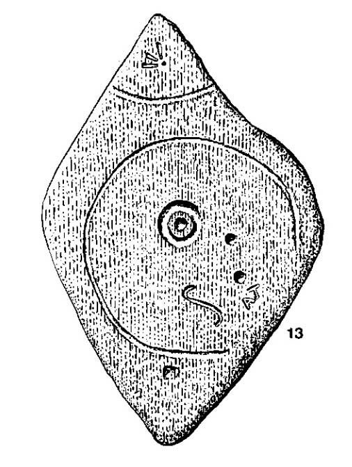
“The covering stone of the cist…bears on the face a series of concentric circles, and spirals springing from one of the groups of circles, Four grooves also unite the same set of circles with the left-hand edge of the stone. On the edge shown in the photograph there is another group, consisting of two concentric circles. The unevenness of the surface of the stone appears to have been of no moment to the sculptor of the circles, as the incisions follow the surface into its sinuosities and depressions.”
Not long after Robertson & Black’s visit, the great megalithomaniac Fred Coles (1899) came here—and he found that the “spirals” that Mr Black described were nothing of the sort.
“The huge irregularly-shaped diorite boulder which covered the cist has several cup-and-ring marks on one face and one side…. These marks are now, so I was informed when inspecting them, very much less distinct than they were when the photograph was taken (above) in 1894. It would be difficult now to describe the incised markings with accuracy; it is difficult even to see them when wet. But…I must take exception to the term ‘spirals’ as applied to any of these ‘rings.’ There are three groups of rings so placed as to make the outermost ring in each group touch that of the others (not an uncommon form), but there is no one true volute.
“…What is more noteworthy is the group of four long parallel, nearly perpendicular grooves issuing (probably) from the outermost ring of the group of five rings, and ending at the edge of the boulder.”

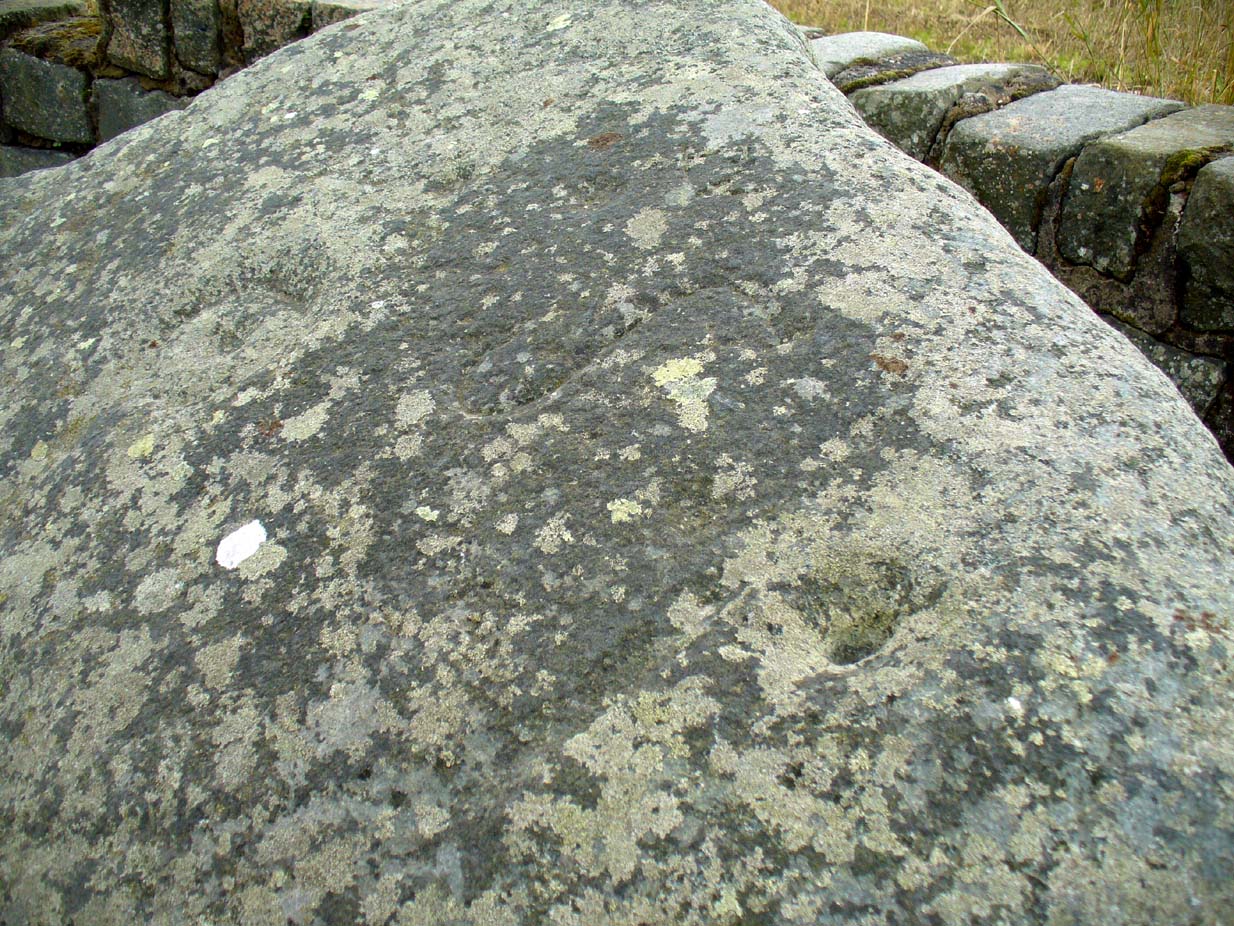
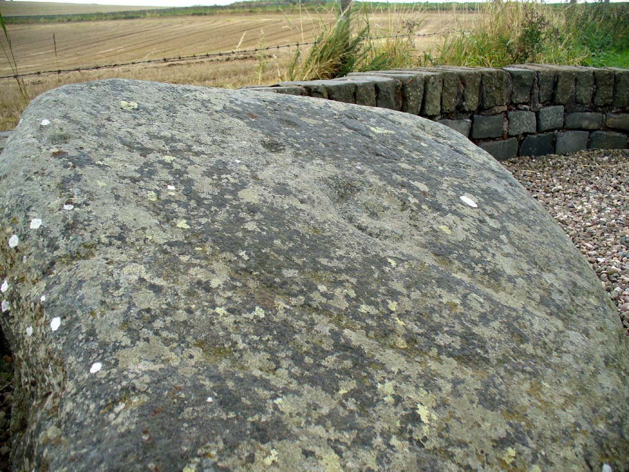
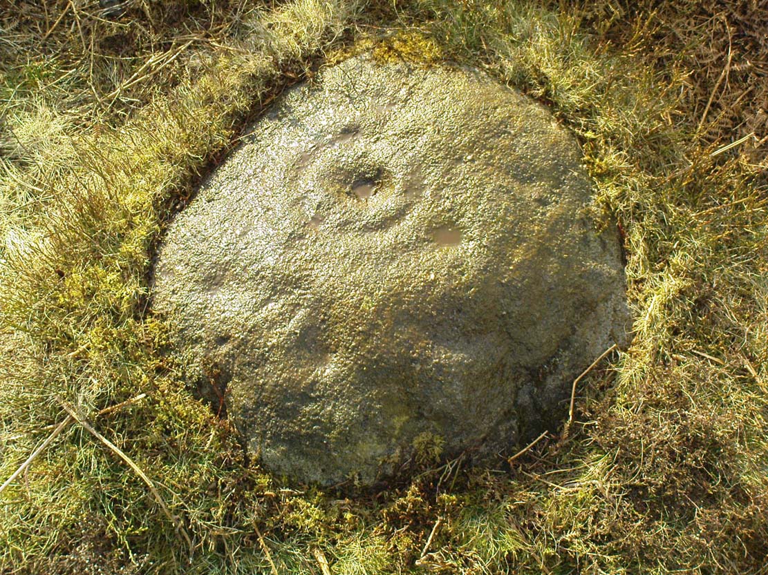
Cole also noted that the carvings were to be found on the upper surface of the stone. It would seem very probable that the excessive erosion which Cole described was due to the fact that the stone was, many centuries earlier, exposed to the elements within the stone circle and not buried as it later came to be. It makes sense.
The excessive erosion was spoken of by the Royal Commission (1933) lads, aswell as the last person to describe the site, Ronald W.B. Morris (1981), who said that during his visits here between 1966-75,
“the author has only found traces of possible cups visible on the rough surface, which has flaked badly.”
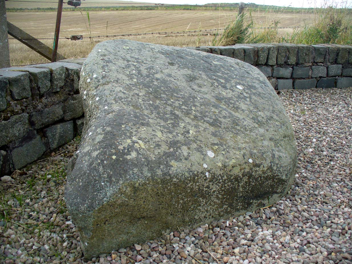
Morris (1981) said that the stone measured “1½m by 1¾m by ½m (5½ft x 4½ft x 2ft)”—and was last known to be some 10 yards NW of the Tillicoultry House cottage, but we could locate no trace of the stone or its carving. If anyone is aware of the whereabouts or fate of this important neolithic carving, please let us know.
References:
- Coles, Fred R., (1899b) ‘Notices of the discovery of a cist and urns at Juniper Green, and of a cist at the Cunninghar, Tillicoultry, and of some undescribed cup- marked stones’, in Proceedings of the Society Antiquaries, Scotland, volume 33, 1899.
- MacWhite, Eoin, “A New View on Irish Bronze Age Rock-Scribings,” in Journal Royal Society Antiquaries, Ireland, 76:2, 1946.
- Morris, Ronald W.B., ‘The cup-and-ring marks and similar sculptures of Scotland: a survey of the southern Counties, part II’, in Proceedings of the Society Antiquaries, Scotland, volume 100, 1969.
- Morris, Ronald W.B., “The Cup-and-Ring and Similar Early Sculptures of Scotland; Part 2 – The Rest of Scotland except Kintyre,” in Transactions of the Ancient Monuments Society, volume 16, 1969.
- Morris, Ronald W.B., The Prehistoric Rock Art of Southern Scotland, BAR: Oxford 1981.
- Robertson, R., Black, G.F. & Struthers, J., ‘Notice of the discovery of a stone cist and urns at the Cuninghar, Tillicoultry‘, in Proceedings of the Society Antiquaries, Scotland, volume 29, 1895.
- Royal Commission on the Ancient & Historical Monuments of Scotland, Fife, Kinross and Clackmannan, HMSO: Edinburgh 1933.
- Young, Alison, “Cup-and-Ring Markings on Craig Ruenshin, with some Comparative Notes,” in Proceedings of the Society Antiquaries, Scotland, volume 72, 1937.
© Paul Bennett, The Northern Antiquarian