Cup-and-Ring Stone: OS Grid Reference – SD 97300 42625
Getting Here
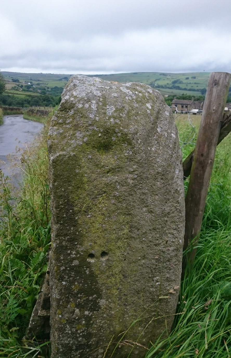
Old Lane Cup-and-Ring
This Stone is situated on Old Lane, Cowling, North Yorkshire. To get here coming from Crosshills, you come straight through the village and past the shops. About 250 yards after the shops you will come to a sharp left hand bend, and once you have gone round this corner you will see a sign pointing to Oakworth (Old Lane). You need to turn left here (up by the cemetery) and continue for about half a mile up that lane until you come to a sharp left-hand bend. Once you have gone round that left-hand bend you will see a driveway on the right, the stone is situated opposite, in the gateway. Hope you can find it and enjoy it like I do every time I pass it.
Archaeology & History
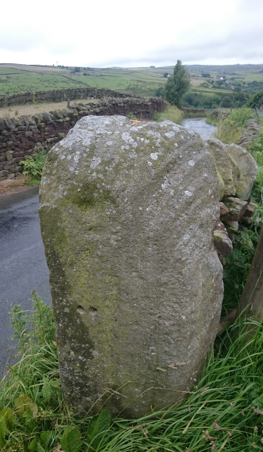
…and from another angle
I’ve driven past this stone many times, almost every day and never previously noticed any markings. Then, one particular day, the weather was a bit miserable but the lighting was just right to illuminate this little gem. Was this lump of rock a standing stone, or have modern day folk took advantage and moved it here to be used as a gatepost? I don’t think we ever will know.
(Editor’s Note – When Chris first informed us of this carving, I wondered whether or not it had anything to do with a cup-and-ring found on a gatepost in the 1950s or ’60s by Stuart Feather or Sidney Jackson, but this was not the case. This petroglyph therefore, is yet another one that our users have discovered and it has to be classified as a new find. Keep up the good work sir! PB)
© Chris Swales, The Northern Antiquarian


