To search for any sites in the northern counties of England (previously known as Brigantia), click on the list of relevant counties, below. Please note that not all these english counties were truly in Brigantia, but they came close to its southern edges; and as parts of them tickle the edges of the southern Pennines, I thought they should be included. Hope that’s OK with everyone!
Sacred Wells (destroyed): OS Grid Reference – TF 32603 87555
Also Known as:
Little Wells
Archaeology & History
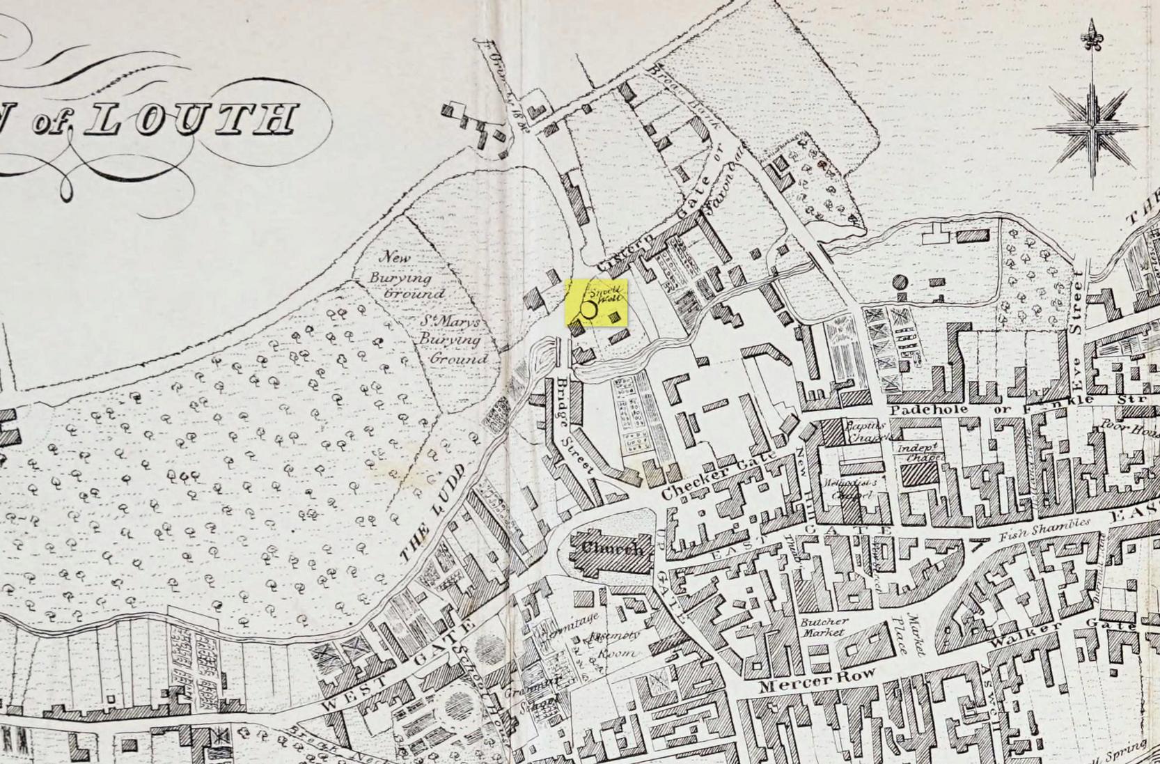
Small Well on 1834 map
Of the three wells in old Louth around which local ceremonies occurred, the Small Wells were apparently the least impressive. Its ritualised compatriots south of the River Lud in St. Helen’s Well and the Ash Well (the Aswell in modern Louth place-names) were reportedly the much better water supplies in bygone times. The site was highlighted on a map of the town in Robert Bayley’s (1834) history of the area, showing it as a small pool just below the Cistern Gate road; but when the Ordnance Survey lads came here later in the 19th century it had already gone.
It’s category here as a “sacred” well is due to it being annually decorated with garlands of flowers, commonly known today as well-dressing. Such wells tend to be places of pre-christian rites, attended by local people at dawn usually at Beltane or at Midsummer (St John’s Eve); but I’ve been unable to find out which was the sacred day when the waters here were honoured. All that we have left to tell us of the rites is from old township notes that said how,
““The small wells,” a cluster of little springs on the north of the town, shared in the honours of green boughs and popular huzzahs” the traditions held at the wells of St. Helen and Aswell a half-mile to the south.
A brief 16th century account told of a local man being paid for the adornment of the Small Wells: one “Henery Forman received for dressing small wells for a yeare – xiid” – or 12 pennies in old money. Not bad at all in them days!
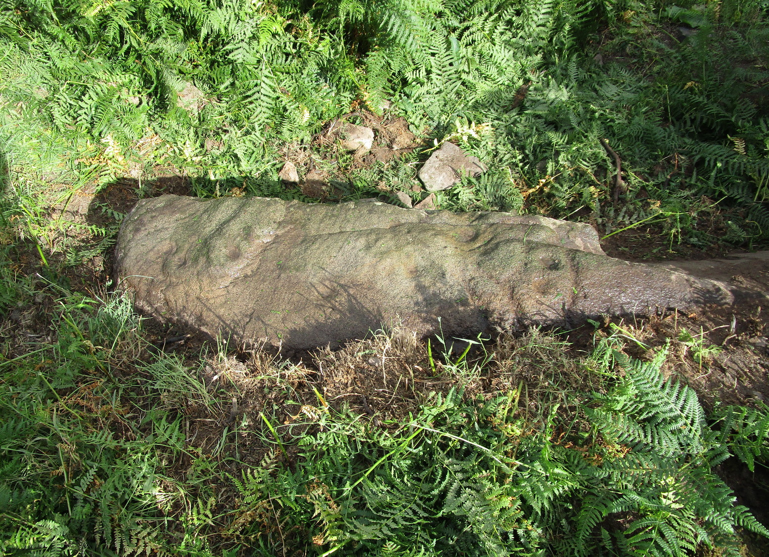
If you’re coming up from Otley or Askwith, take the same directions as if you’re going to visit the impressive Naked Jogger Carving (stone 612), not far from the well-known Tree of Life Stone. From the Naked Jogger carving, walk up to the small outcrop of rocks that bends above you. There’s a small collapsed line of walling just behind the outcrop. Walk along this up the slope as if you’re heading for the Sunrise Stone carving, but only 30 yards along, low down and right into the edge of the wall itself, you’ll see this elongated piece of stone. That’s the spot!
Archaeology & History
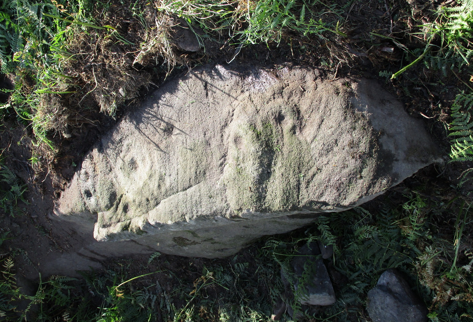
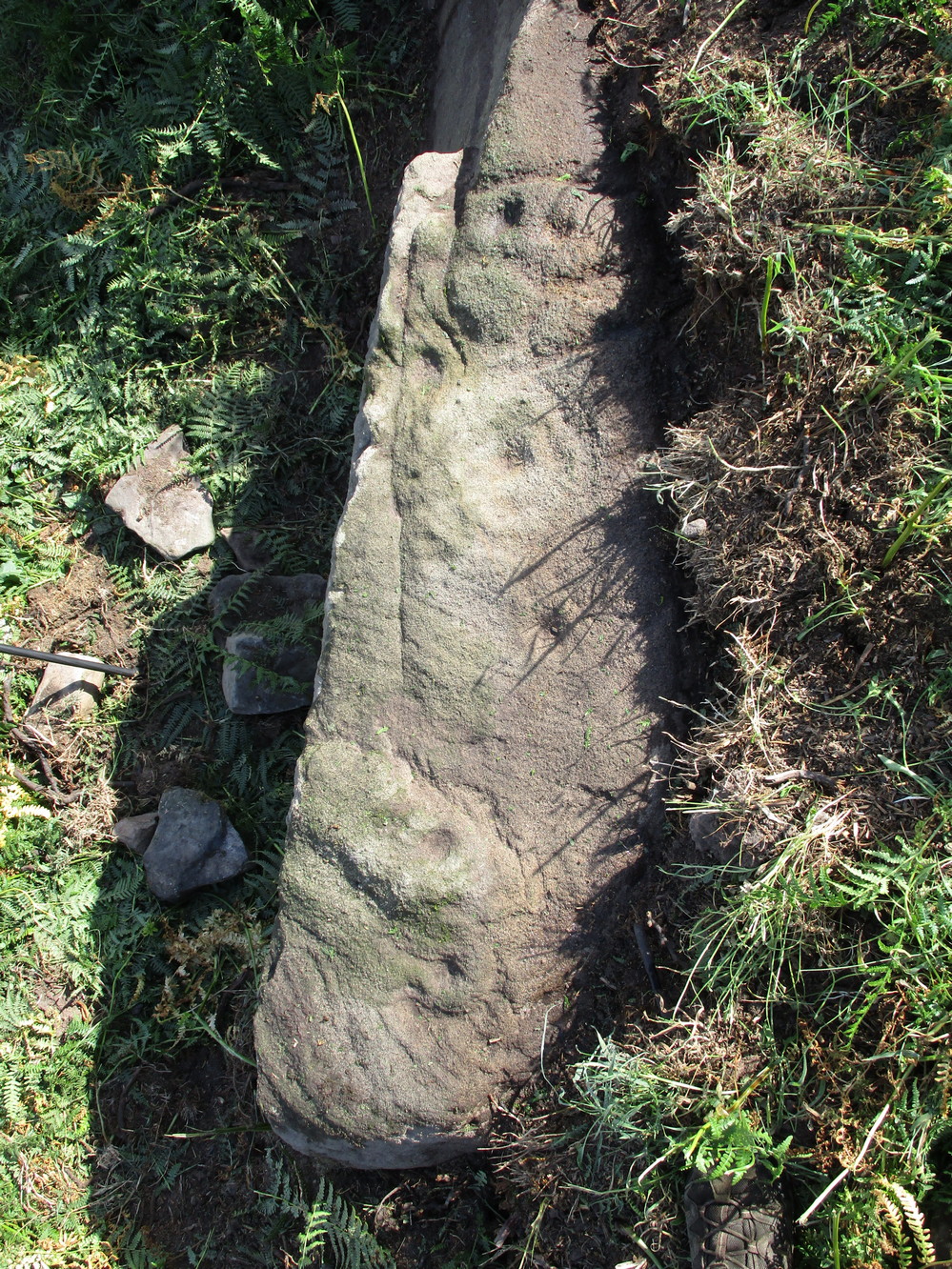
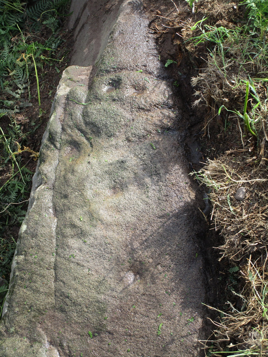
If you’ve caught the petroglyph-bug, you’ll like this one! It received its name from the curious fusion of natural cracks with the man-made pecked lines that shows, quite distinctly when the light is right and the stone is wet, the outline of two humanesque forms joined to each other. Figurative rock engravings of ancestors in the UK are extremely rare and when we came across this example, we noticed how the design could be interpreted as two Askwith Moor ancestor figures. Figurative rock art images elsewhere in the world such as the magnificent Wandjina paintings and the extensive galleries of figures engraved at Murujuga (Burrup Peninsula) in Western Australia, might provide an initial comparison, though more specific work needs to be done to better understand this unique petroglyph.
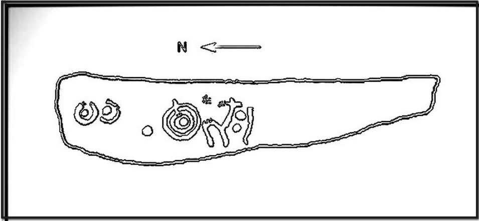
Sketch of the carving
You can almost make out the figures in the above photo: the upper torsos of two beings on the right-hand side of the rock, almost fused together. And the carved shapes of these “ancestral beings” are morphically similar to some elements in the Sunrise Stone just 50 yards away – which themselves remind me of a Northumbrian carving near Doddington known as West Horton 1a. (Beckensall 1991) But we should’t get too carried away by the idea because—as we can see here in the sketch of the carving—when looked at from a different angle above, we could infer the right-hand carved elements to be representative of an animal: a deer, perhaps. Rorscharch’s once more tickle the exploring mind….
The rock has been quarried into at same time in the past (just like the nearby Sunrise Stone), leaving us to wonder what the complete carving might have looked like. No doubt some pieces of it will be in the collapsed walling either side of the stone. All we have left to see are the two unfinished cup-and-rings above the natural cracks that give rise to the “ancestral being” appearance. The faint double cup-and-ring has curious linear arcs to its side, with two well-defined cups enclosed by two of them. It’s a nice-looking carving when the light is good. The petroglyph was carved over a long period of time, as evidenced by the differing levels of erosion in different sections of the design. It’s a common attribute. The oldest section is the faint double cup-and-ring, whose mythic nature was added to / developed at a much later date, perhaps even centuries later.
In the always-expressive archaeocentric description of Boughey & Vickerman’s (2003) otherwise valuable tome, they told this carving to be,
“Long, narrow, thick rock of medium grit. Six cups, one with a double ring with a tab out and two with at least partial single rings, grooves.”
Evocative stuff!
It’s very likely that this carving had some mythic relationship with its close neighbours either side of it, probably over a very long time period and I’m inclined to think it somehow related to the rising of the sun, just like its solar companion further up the slope. Please note how I emphasize this ingredient in the site profile of its neighbour, the Mixing Stone 10-15 yards away—roughly halfway between this and the Sunrise Stone. A distinct place of ritual was happening in this close-knit cluster of carvings…
References:
Beckensall, Stan, Prehistoric Rock Motifs of Northumberland – volume 1, 1991.
Boughey, Keith & Vickerman, E.A., Prehistoric Rock Art of the West Riding, WYAS: Leeds 2003.
Reeder, Phil, “Snowden Carr Rock Carvings,” in Northern Earth Mysteries, no.40, 1990.
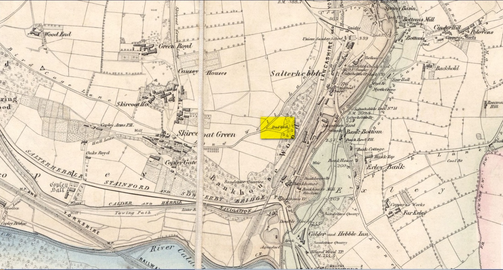
This curiously-named old water source may have an equally curious history behind it – albeit forgotten. Shown on the 1854 OS-map of the area and giving its s name to Dudwell Lane, we can see how an old path led from the road to the well and nowhere else.
It’s the word “dud” that holds our attention here; for if we hasten to the immensely erudite Joseph Wright (1900) in his gigantic survey of northern dialect, we find that the word relates to “a rag, piece of cloth; pl. clothes, esp. shabby, ragged, or dirty clothing.” This is echoed in another Yorkshire dialect work by Morris (1892) who told that the word meant “clothes (or) rags.” Several other Victorian writers tell us variations on this meaning (one adds old shoes to the list!), but in all instances it relates to dud being a rag, whereas the plural duds are rags or scruffy clothes. Naathen (to use another old dialect word), those of us who know a thing or two abaat olde wells are very very familiar with their association to old rags that were hanged on the surrounding trees as offerings to the spirits of the water—the genius loci—to aid in the hope or desire of something, or merely as respect to the waters for their beneficient properties. (this sometimes occurred ritually at set times in the calendar)
Dud Well on 1854 OS-map
The Dud Well was obviously of considerable local repute, for just a couple of years after it was shown on the earliest OS-map, a local bailiff called Samuel Rhodes built The Dudwell house close to the waters, which he named “in honour of the magnificent and never-failing spring of pure, bright, sparkling water in the wells close by.”
There is a possible alternative meaning to the word dud, which is that some dood called ‘Duda’ left his name here! This seems much more speculative and unlikely than the use of a local dialect term. Hopefully a local historian amongst you might perhaps be able to find out more.
References:
Morris, M.C.F., Yorkshire Folk-Talk, Henry Frowde: London 1892.
Wright, Joseph, English Dialect Dictionary – volume 2, Henry Frowde: London 1900.
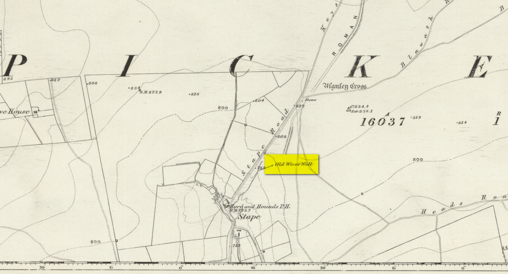
The history of the site is scanty to say the least. It first seems to have been recorded when the Ordnance Survey lads came here in the 1840s, although they left no record as to why the site was given such a dedication. It’s a decidedly pre-christian title as the name “old Wife” is usually indicative in northern counties as being related to the primal Earth deity of northern England and lowland Scotland (when we reach the Highlands and Ireland, She becomes known—amongst other names—as the cailleach). However, apart from its name we have no additional information. Neither the holy wells writer Edna Whelan (1989; 2001), nor hydrolatry researcher Graeme Chappell were been able to find anything about the place in their own researches. And so we must go on name alone…
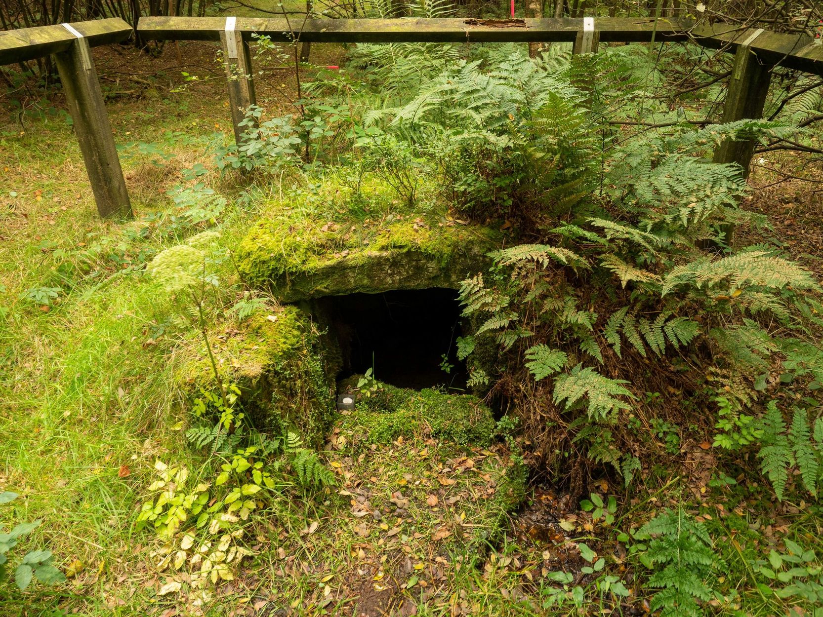
The waters bubble up into a small stone-lined chamber with the words Nattie Fontein carved into the lintel. This is something of a mystery in itself, for, as Edna Whelan (1989) told,
“it would be most unusual for the word fonten to be used for a spring in North Yorkshire: ‘keld’ is the local word. The rather roughly inscribed word may be a corruption of Fons Natalis, the name of a Celtic water nymph.”
Graeme Chappell (2000) meanwhile, noticed in a visit to the site in June 1999,
“that the N and A in “NATTIE” are carved in such a way that the word could be read as “MATTIE FONTEIN” perhaps meaning “Mother Fountain”. This might then be another reference to the Old Wife?”
He then goes on to note how,
“the latin word ‘natalis‘ meaning ‘birth’ and its link with the roman Festival ‘Dies Natalis Sol Invictus‘ (day of the birth of the unconquered sun) which took place on the 25th December. Natalis also gave rise to the welsh word ‘Nadolig‘ – meaning Christmas.”
This Yuletide element has an intriguing relationship with the name of the well; for to the west of Yorkshire’s borders into Cumbria there was annual gathering known as Old Wives’ Saturday that took place on the first Saturday after Christmas, or first Saturday of the New Year in a person’s house or inn, where a feast was had to bring in the New Year; but there is no known written lore of such a tradition here.
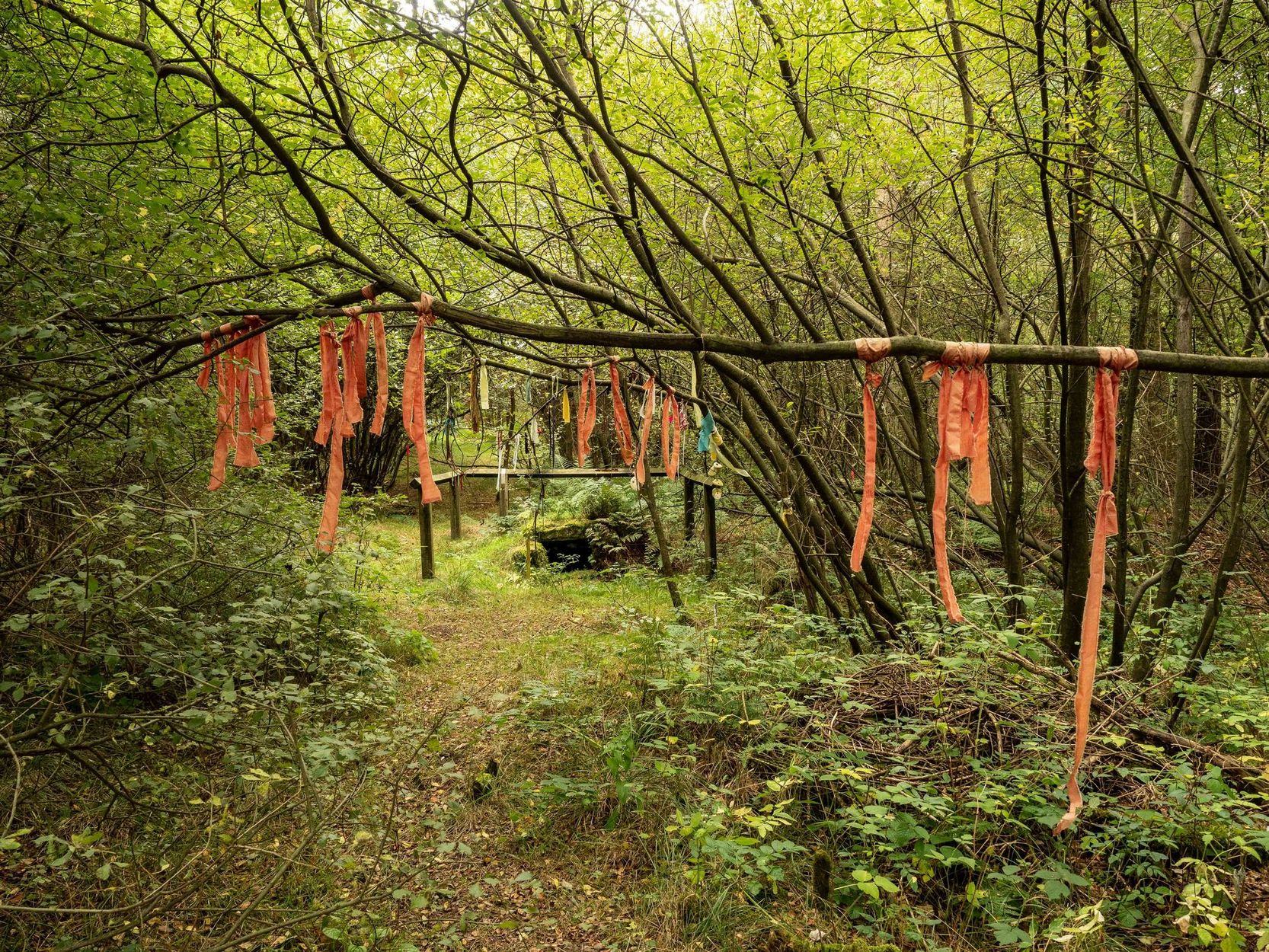
Nowadays the old tradition of hanging rags on the trees surrounding the well as offerings to the spirit of the place (known as memaws in parts of Yorkshire, and clooties in Scotland) has become a regular practice of those who hold such sites as sacred in their own way. Whelan mentioned seeing memaws here in the 1908s, but the Northern Antiquarian contributor Jon Barker told that, “The rags are a comparatively recent addition to the well, it is not a tradition there. When I used to go in the ’60s therewere no rags.”
On an even more curious note: very recently (from when this profile was written), the Northern Antiquarian contributor and photographer James Elkington visited Old Wives’ Well for the first time. It was a grey overcast day and when he arrived here, there was a woman ahead of him at the head of the well. I’ll let him tell the rest of it in his own words:
The Old Wives Well, Stape (James Elkington)Old Wives Well at Stape (James Elkington)
“In front of the well was a lady dressed in what looked like a white nighty, she had her back to me. There was a candle lit nearby, and her hands were in the water moving slowly about like she was washing something. She had long dark shoulder length hair. As I was about 25 feet away I was sure she wasn’t aware of me, and I thought it would make a good photograph. I quietly put my bag on the ground and got my camera out, and looked up and…she was gone! I couldn’t have taken my eye off her for more than 5 or 6 seconds. I looked all around and there was no sign of her. Even if she had legged it through the woods I would have seen her. I think it was then that I realized that I may have had ‘an encounter’. I quickly took three pics of the Well and got the hell out of there!”
He rang me once he had regained his senses in a somewhat emotional state and recounted over and over what had just happened. Whether this was a visual manifestation of the genius loci of the we can’t say. But such encounters are not unknown at numerous sacred water sites all over the world. We can only hazard a guess that this is what he was fortunate to encounter.
Just a few hundred yards north is the old Mauley or Malo Cross, which may or may not have had some mythic relationship with our Old Wives…
Tumulus (destroyed): OS Grid-Reference – TA 420 150
Archaeology & History
This long lost site is one of probably many such sites on the east coast of Yorkshire and Lincolnshire that used to exist, before the great North Sea took them away. The only account I’ve found of this one is from a short article in an early copy of the Lincolnshire Notes & Queries magazine by John Cordeaux (1891), who wrote:
“The Spurn, or Spurn Point, as it is now usually called, at the mouth of the Humber, is so closely connected with Lincolnshire history that it is unnecessary to apologize for recording in Lincs. N. & Q. an interesting sepulchral relic found there. This is a rude chest or coffin, roughly hewn and squarely hollowed, probably with stone implements, from the trunk of an oak, recently exposed by the action of the sea on the beach at Kilnsea. The total length overall of the chest is 51 feet, the interior (it was much decayed and fallen when I saw it) little, if anything, over four feet. In this space the skeleton, presumably of an adult male was found doubled up. Most unfortunately the original finders (labourers) scattered the bones, which subsequently were washed away. A thigh bone alone being recovered, and this is suggestive of a man probably a little below the average height.
“From oral evidence collected in the neighbourhood, I came to the conclusion that the body must originally have been buried with the head bent forward on the chest, and the legs tucked up like a trussed fowl, the knees near the chin. No corresponding lid or covering was found on the coffin, it had been placed in an excavation in the red or chalky boulder clay, and tenacious blue clay placed on it. The locality on the coast where it was found represents the Pit Marshes — that is before “the sea gat ’em ” — their position was about one-hundred and fifty yards south of the first sea-groin on Kilnsea beach. It is not improbable that a barrow or tumulus, either of earth or piled stones, at one time covered the interment, until levelled and dispersed by the sea’s encroachments on the land. Not far from this place on the beach, a small, simple, flat-sided celt, about four inches long, was picked up. It may or may not have borne some relation to the occupant of the oak coffin. When the foundations of the enlarged Chancel of St. James’ Church, Grimsby, were dug, a similar coffin or chest was exposed, partly within and partly without the line of the north chancel wall. I remember it was conjectured at the time, from the comparatively small interior, that it had been used for the interment of a child. It is more probable, however, that it had once contained an adult packed away in the manner indicated at Kilnsea.”
A very short distance north we find the place-name of “How Hill”, which may be a record its existence, as the word how in many places round here can mean a tumulus. Seems to make sense.
Cross (destroyed): OS Grid reference – SD 5152 9280
Also Known as:
Cold Stone
Market Cross
Archaeology & History
Not to be confused with the carved cross fragments held in the local church, this old town cross has long since gone. It’s existence was recorded by the great Kendal historian Cornelius Nicholson (1861), but even in his day, this “obstruction” as he called it, was no longer standing. Known as the local Market Cross where all the wheeling and dealing took place—official ones, as well as the not-so-official works of local folks—it stood just off Stricklandgate,
“opposite the Covered Market, and was an obstruction in the street. There still remains a remnant of it in a stone at the corner, vulgarly called “cold stone,” where the charters and so forth were usually proclaimed. Cold stone is a corruption of “call stone;” an appendage common to most ancient towns, where all public matters were “called” prior to the “institution” of belman.”
This folk etymology of “cold” needs to kept in mind when we come across other stones of this name. …The earliest record of a market held at Kendal is from 1402, but written records of the Market Cross are scant until 1714. Such edifices tend to be architecturally ornate, but we have neither sketches nor descriptions of this lost site and must await the work of fellow researchers who may hopefully find out more.
References:
Nicholson, Cornelius, The Annals of Kendal, Whitaker & Co.: London 1861.
Smith, A.H., The Place-Names of Westmorland – volume 1, Cambridge University Press 1967.
Cup-and-Ring Stone (destroyed): OS Grid Reference – NU 0444 0186
Archaeology & History
In an area teeming with prehistoric sites from the neolithic and Bronze Age periods, we had a rare example here of some cup-and-rings that had been carved within a small cave or rock shelter of some kind. Sadly it got destroyed in the mid-19th century due to quarrying operations—but not before George Tate (1864; 1865) had a final sniff of the place and was very lucky to see some of the remains before they finally bit-the-dust. He told us:
“The great sandstone ridge ranges from Eglingham and Beanley across the central part of the county towards Rothbury, near to which is a cave in the rock called “Cartington Cove;” concentric circles with central hollows were incised within this cave. Mr. Williamson of Alnwick, from whom I had this information, played around them when a boy more than fifty years ago; and they were then popularly called “Cups and Saucers.” Nearly all of them have been destroyed by the wedges and hammers of quarrymen; but on visiting the spot in 1859, I found sufficient traces to confirm Mr. Williamson’s testimony.”
But they were gone a few years later thanks to the lads at the quarry. Although the site was subsequently described in Beckensall’s modern surveys (1992; 2006), nothing more was found about them.
Folklore
Whilst David Dixon (1903) reiterated Mr Tate’s notes on the “series of incised concentric circles and central hollows” here, he also mentioned an old piece of folklore:
“At Cartington Cove (is) a recess or cave which, local tradition says, is connected by a subterranean passage with Cartington Castle, three miles distant!”
Intriguing ingredients: caves – Underworld journey – north – all symbolic of Death in pre-christian lore. Just saying…
References:
Beckensall, Stan, Prehistoric Rock Motifs of Northumberland – volume 2, Abbey Press: Hexham 1992.
Beckensall, Stan, Circles in Stone: A British Prehistoric Mystery, Tempus: Stroud 2006.
Dixon, David D., Upper Coquetdale, Northumberland, Robert Redpath: Newcastle-upon-Tyne 1903.
Cup-and-Ring Stone (lost): OS Grid Reference – NT 931 302
Archaeology & History
Little is now known of this carving which was described briefly by Stan Beckensall (1983):
“A cup and ring marked stone was found in the field north of Yeavering Bell in the neighbourhood of the monolith. The last heard of it, according to the Northumberland County History (14:67) was that it was in the grounds of Ewart Park.”
The monolith he speaks of would be the one called the Battle Stone (NT 9299 3038) and Ewart Park is 2 miles ENE of here. The carving remains lost. (the grid reference where the stone was originally located is an approximation, but a pretty good one)
References:
Beckensall, Stan, Northumberland’s Prehistoric Rock Carvings – A Mystery Explained, Pendulum: Rothbury 1983.
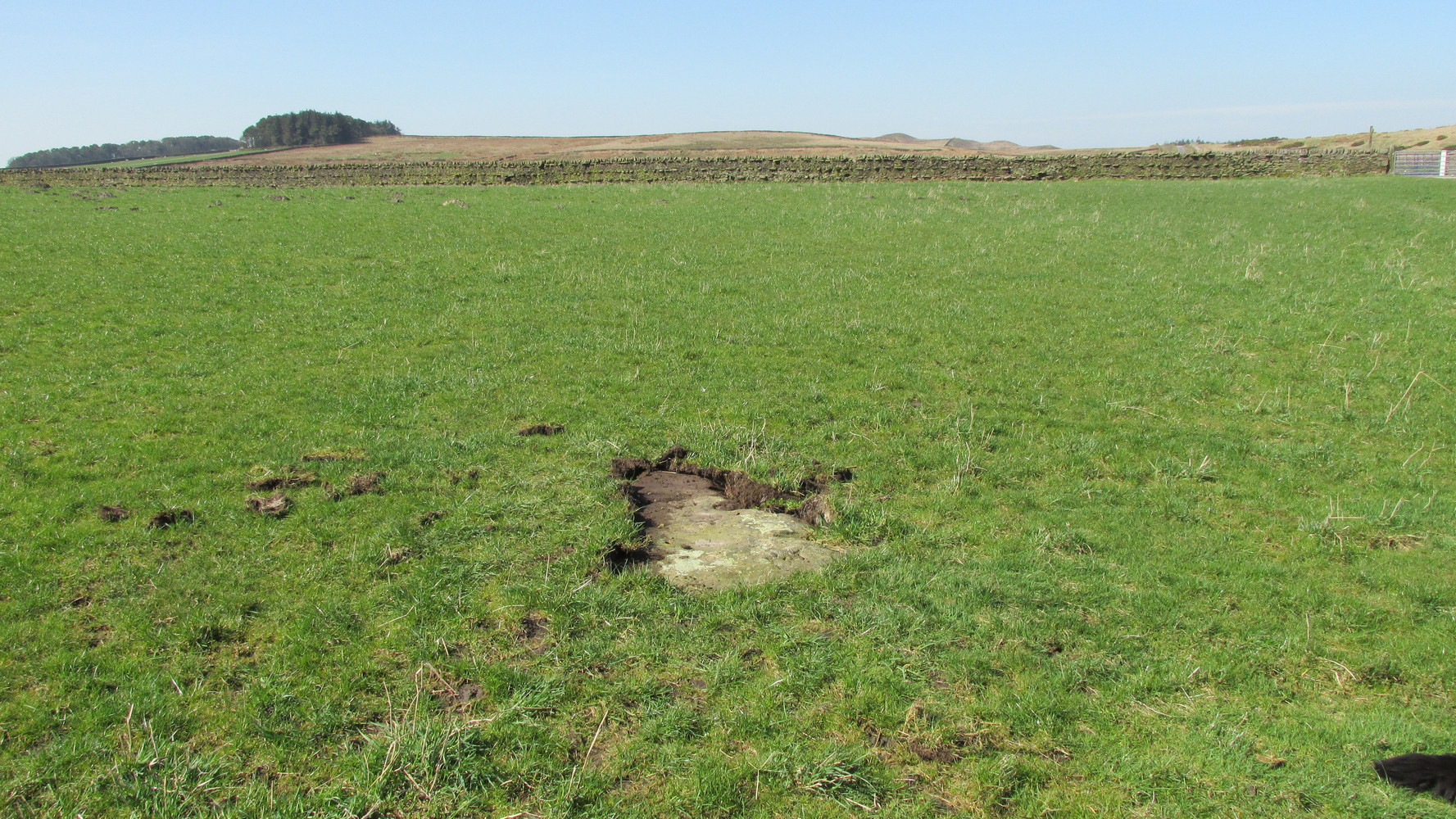
Probably the easiest way here is to take the well-trodden Dales High Way track westwards, under the bypass from Addingham, and along the old Roman Road. After 1.7 miles (2.7km) you’ll reach the Heights Lane country road. Stop here! Walk back on yourself along the track for maybe 50 yards and look in the field to your right (south) between 10-20 yards in the short grass and there, somewhere under your feet next to a modern stone, you’ll see peeking up at you (probably somewhat covered on the whole by the soil) a long flat stone. That’s what you’re looking for.
Archaeology & History
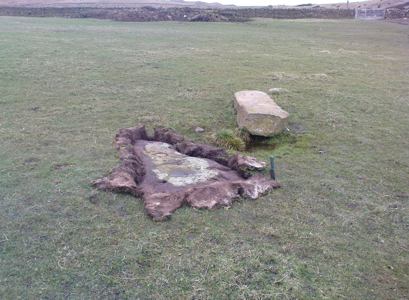
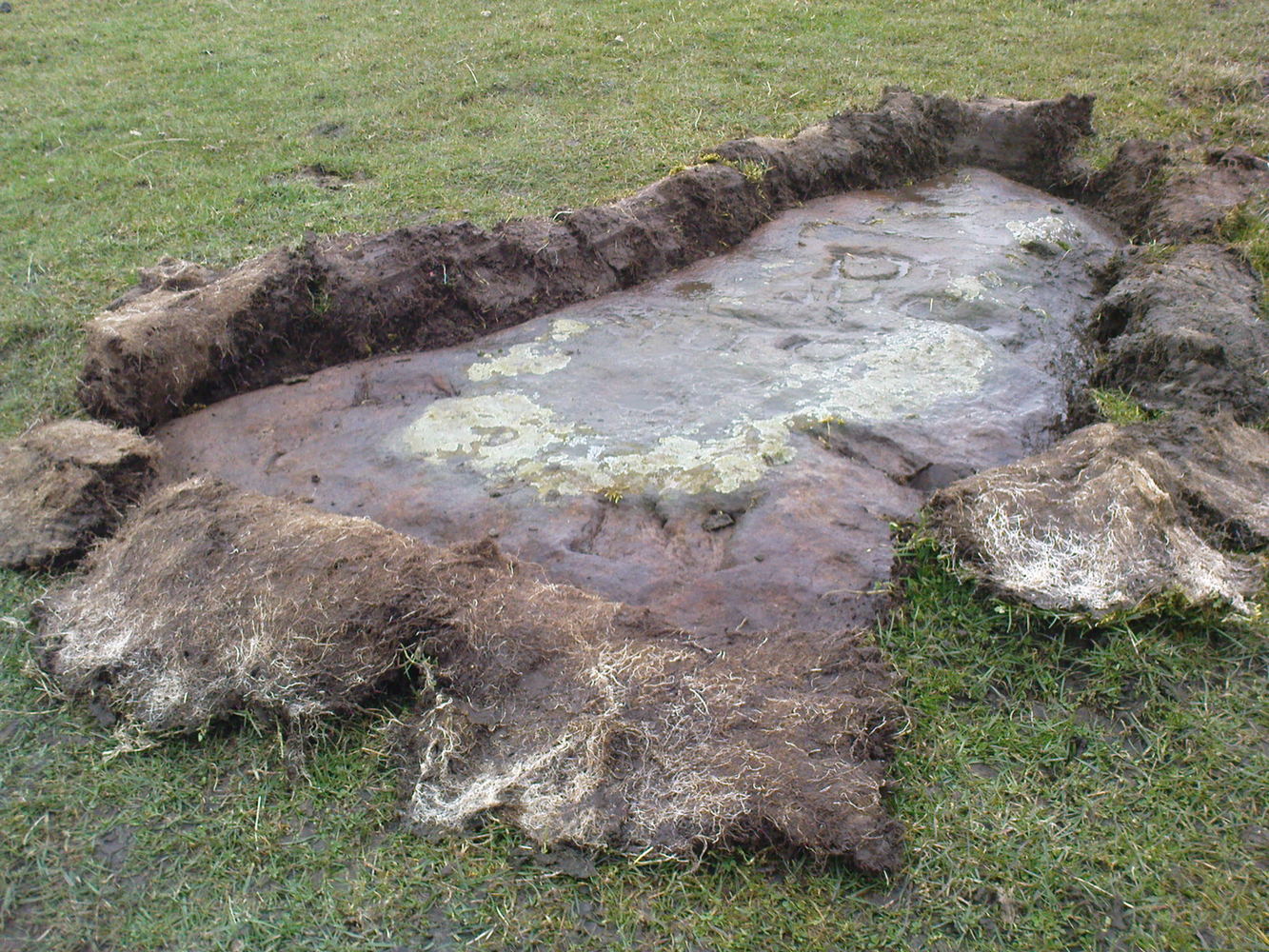
This old stone had been sought after by various groups and people for many years and I was fortunate to relocate it about thirty years ago, laid down and all-but-hidden beneath the grasses. The stone appears to have been buried nearly 100 years earlier, because when Harry Speight (1900) wrote about it in 1900 he described it as still upright. In more recent years, it seems that the farmer has put a replacement stone next to its position with the letters “JC” cut into it. You can see it in the above photo.
Thief Thorne uncoveredThief Thorne, looking W
First mentioned in the 16th century and included in boundary perambulation records of 1709, and again in 1781, someone during that period turned it into a milestone, etching the words “To Skipton 3 m. To Addingham 2 m.” It stood by the old Roman road, but its considerable erosion and shape is decidedly prehistoric. Nearly 6 feet long, it is now laid in the earth and almost completely covered over. A sure case for resurrection.
References:
Bennett, Paul, The Old Stones of Elmet, Capall Bann: Milverton 2001.
Speight, Harry, Upper Wharfedale, Elliott Stock: London 1900.
Along the only road that crosses Askwith Moor, park up at the single carpark on the east-side of the road. Walk up the road for 350 yards and through the gate on the left-hand (west) side of the road onto the moorland. Once through the gate, walk directly west into the heather immediately below the path for some 25-30 yards. Look around!
Archaeology & History
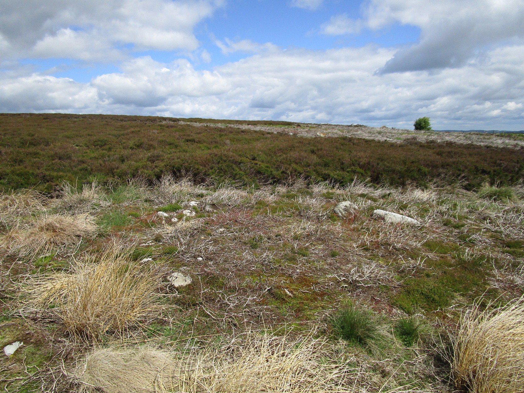
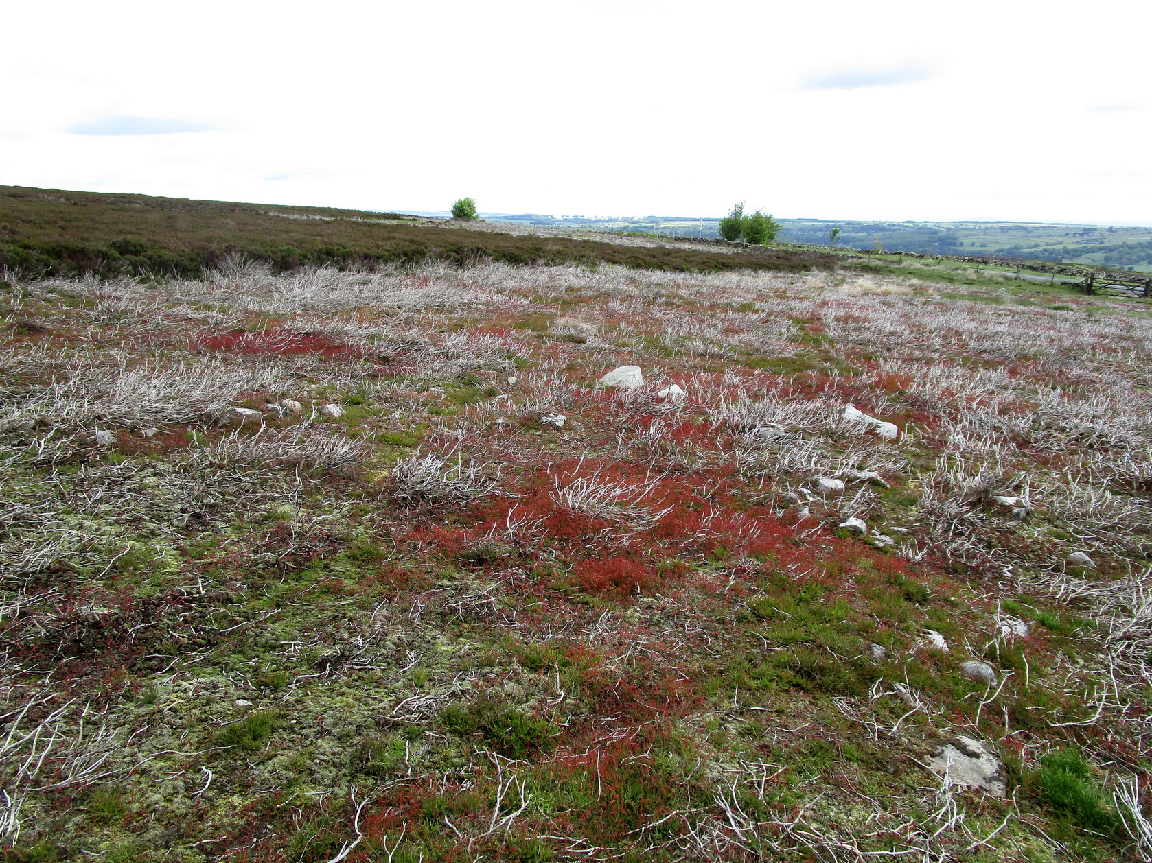
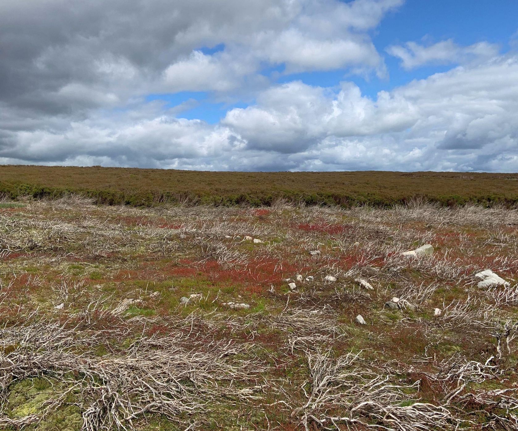
Rediscovered by Helen Summerton in May 2022 are at least two simple hut circles on this level piece of land close to the roadside, amidst this much wider and impressive prehistoric landscape.
The small ring of stones (SE 17430 50978) closest to the road is slightly more troublesome to make out due to it being more deeply embedded in the peat than its companion about 30 yards away. Comprising of typically small rubble walling, this first circle is only 4 yards across and would certainly have been fine for one person or, at a push, perhaps a small family.
Askwith Moor hut circle (2)Askwith Moor hut circle (2)
Its companion immediately west (SE 17401 50953) is somewhat larger and slightly more elongated in shape, being 10 yards along and 5-6 yards across, as well as being in a better state of preservation. This larger hut circle has been raised on a notable artificial earth-and-rubble plinth, being one or two feet higher than the surrounding peatland. A notable internal stretch of walling only a yard or two in length exists within the southeastern side of the construction, whose nature can only be discerned upon excavation: an issue we can say applies to the many prehistoric settlements and tombs across this small moorland. It’s very likely that other settlement remains will be found close to these two hut circles.
The remains of another hut circle can be found closer to Shooting House Hill, several hundred yards away; whilst five hundred yards southwest we find a small but impressive cairnfield. There are also a good number of petroglyphs close by and on much of the surrounding landscape.
Acknowledgments: Huge thanks to Helen Summerton (not Winterton) for finding these ‘ere remains – and for the photos accompanying this site profile.