To search for any sites in the northern counties of England (previously known as Brigantia), click on the list of relevant counties, below. Please note that not all these english counties were truly in Brigantia, but they came close to its southern edges; and as parts of them tickle the edges of the southern Pennines, I thought they should be included. Hope that’s OK with everyone!
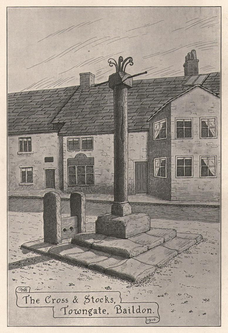
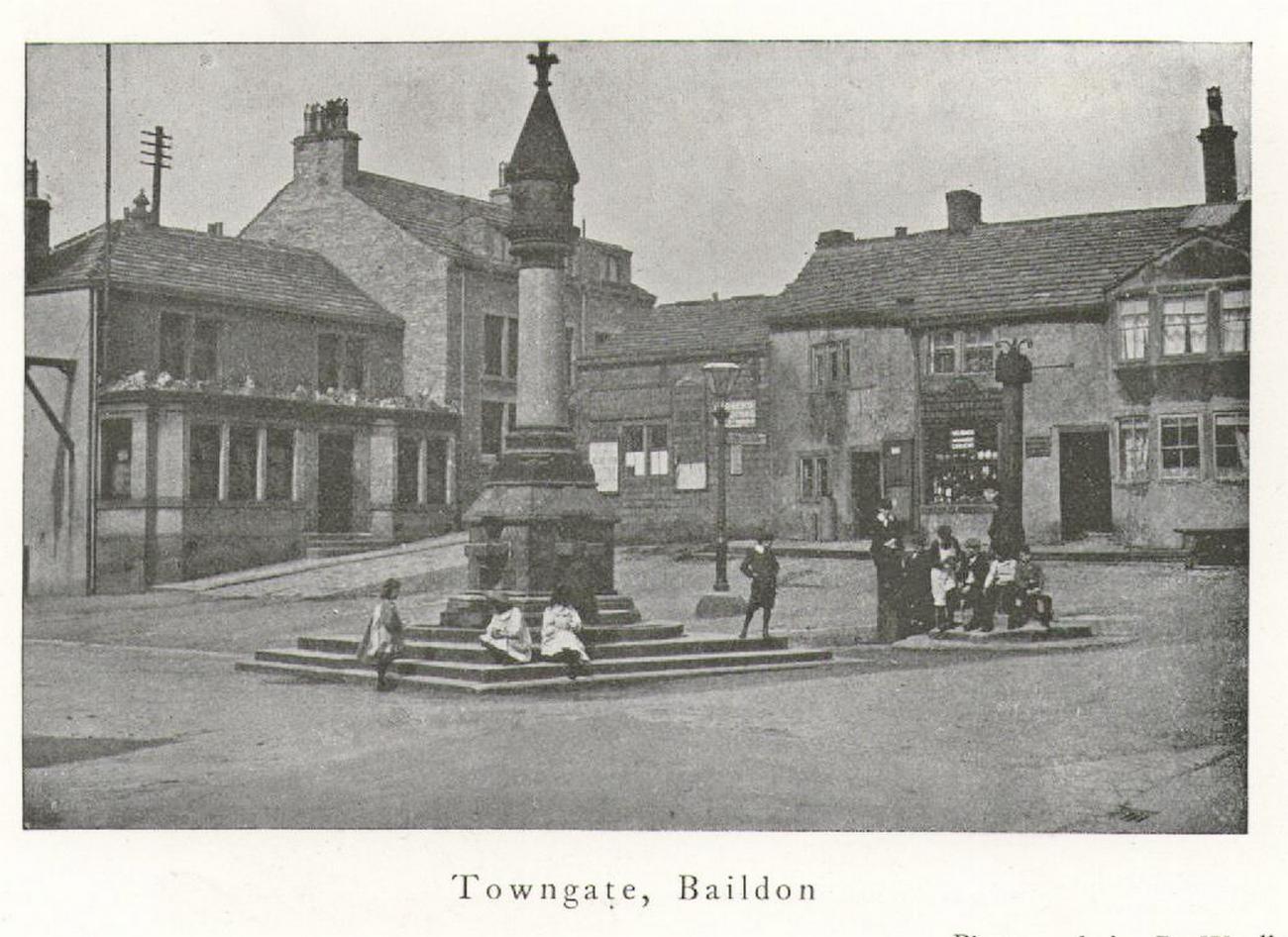
Located next to the old stocks by the main roundabout right in the middle of the town is this tall market cross, nearly ten feet high and well known to the local people. It has been described by several local historians, although its recognition as a “market cross” is slightly contentious as it seems there are no written records to indicate that a market ever existed here. The great Baildon historian, W. Paley Baildon (1912) was unable to find any info about such a market, commenting simply that “most villages…had crosses in medieval times, many of which still exist; so that the presence of a cross at Baildon is (not necessarily) evidence of a market.”
His description of its form is as valid then as it is to this day:
Old sketch, c.1900Old photo of the cross c.1900
“The cross, as we see it to-day, is not an interesting object. The square platform of two stages, with its well worn stones, looks as though it might be medieval, and part of the original work. In the centre of this is a large square block of stone, from which rises a tall cylindrical shaft.
The base is square, with chamfered corners, and a plain roll moulding at the upper edge; the cap is a plain square block, without any attempt at ornament.”
One of Bradford’s industrial historians, William Cudworth (1876) thought that the present cross replaced an earlier one, and that this one was erected by a member of the wealthy Butler family a few centuries ago. Mr Baildon wasn’t quite as sure as Mr Cudworth. Nevertheless they both agreed that this edifice replaced an earlier one. Baildon said:
“My own view is that there was probably a cross here in medieval times; that it was destroyed, either after the Reformation (as so many were), or by the Puritan soldiery during the Civil War; that the steps and perhaps the base remained; and that in the eighteenth century, when the Butlers were one of the leading families in the place, one of them may have erected a new shaft on the old site.”
In much earlier days it was said to have been surrounded by a grove of trees and a brook ran by its side. Villagers would gather here as it was “a favourite gossiping resort.” At the beginning of the 20th century, an old gas light surmounted this old relic.
References:
Baildon, W. Paley, Baildon and the Baildons – volume 1, St. Catherine’s Press: Adelphi 1912.
Cudworth, William, Round about Bradford, Thomas Brear: Bradford 1876.
la Page, John, The Story of Baildon, William Byles: Bradford 1951.
Cross (destroyed): OS Grid Reference – NZ 1709 0085
Archaeology & History
This was one of at least four old stone crosses that used to exist in Richmond. It was accompanied by other functional edifices nearby known as the Oat Cross and Wheat Cross. Like its companions, the Barley Cross is thought to have been the site where this grain was traded. An early reference to it is Chris Clarkson’s (1814) survey, where he told us that not far from the old Market Cross,
“was formerly another, which went by the name of Barley Cross, perhaps so named from that sort of corn being sold there: it was a lofty Pillar of one large stone upon a small flight of steps with a cross at the top: rings were fastened to it, where criminals were punished by whipping: it is not long since it was taken down.”
Barley Cross (centre left) on 1724 town plan
Similar punishments were also administered to people at the original old Market Cross. The grand masters of of Yorkshire history, Edmund Bogg (1908) and Harry Speight (1897) also mentioned this antiquity, but added nothing more.
The cross was highlighted on a 1724 plan of Richmond, just below the larger Market Cross. In 1780 the local council ordered it to be demolished and, at a later date, large weighing scales were erected on the spot next to where it had stood, on the south-west side of the Trinity Church in the market square.
References:
Bogg, Edmund, Richmondshire, James Miles: Leeds 1908.
Clarkson, Christopher, The History of Richmond, T. Bowman: Richmond 1814.
Home, Gordon, Yorkshire Dales and Fells, A. & C. Black: London 1906.
Speight, Harry, Romantic Richmondshire, Elliot Stock: London 1897.
Cross (destroyed): OS Grid-Reference – SE 3224 4498
Archaeology & History
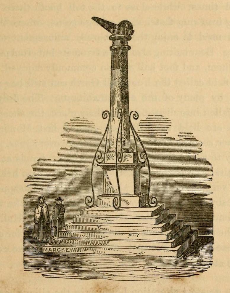
A Charter in the time of King John allowed for markets to be held in Harewood from 1209 CE onwards, “on the first day of July and the two following days, and also to hold one market there every week on the Monday.” But whether or not a market cross was erected that far back, we don’t quite know. Certainly, the edifice illustrated by John Jones (1859) in his standard work on Harewood didn’t date from such an early period! It stood close to the old road junction to Wetherby in old Harewood village, “a little below the intersection of the roads, and about fifty yards higher up than the market house.” Jones told us:
Harewood Cross (Jones 1859)
“It stood upon a large stone pedestal, and was approached by a quadrangular flight of seven steps, very broad, where the neighbouring farmers used to stand, and dispose of their butter, fowls, eggs, &c. It was re-erected, AD 1703, by John Boulter, Esq., and in the year 1804, when the road was lowered, it was taken down and destroyed. This is to be regretted, it might have been re-erected in another situation, if that was inconvenient, and would have been in the present day, not only an ornament to the village but a relic of the past, of which the villagers might have been justly proud. On the top of this cross there was a knur and spell, a game for which the village was celebrated in old times, while close to the toll booth there was a strong iron ring fastened to a large stone, where the villagers used to enjoy the barbarous amusement of bull baiting.”
References:
Bogg, Edmund, Lower Wharfeland, J. Sampson: York 1904.
Jones, John, The History and Antiquities of Harewood, Simpkin Marshall: London 1859.
Speight, Harry, Lower Wharfedale, Elliott Stock: London 1902.
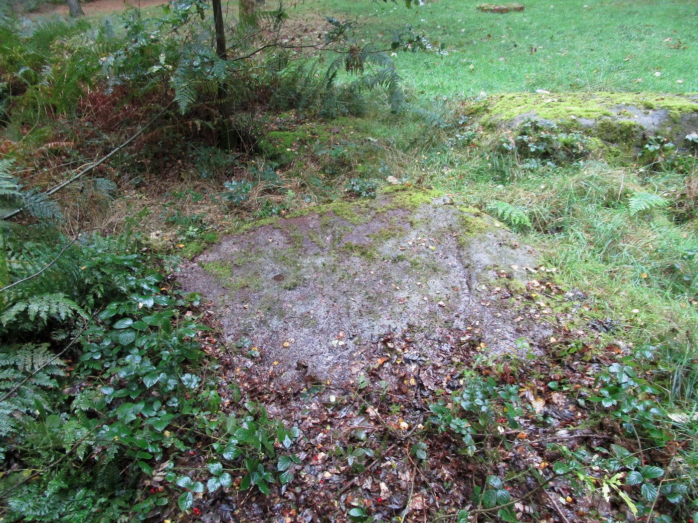
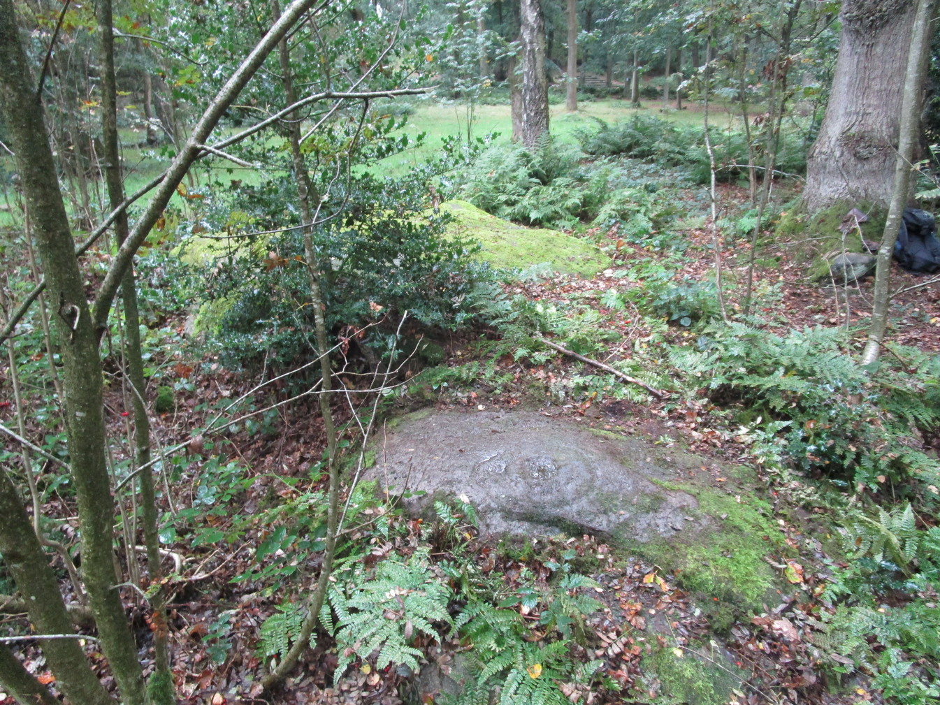
Follow the same directions as if you’re visiting the impressive Fairy Stone carving, then 3 yards east is the Cottingley 2 double cup-and-ring, keep walking past through trees for another 5-6 yards where you’ll come across this reasonably large curved flat stone. Y’ can’t really miss it
Archaeology & History
Cup, with ring faintly visible
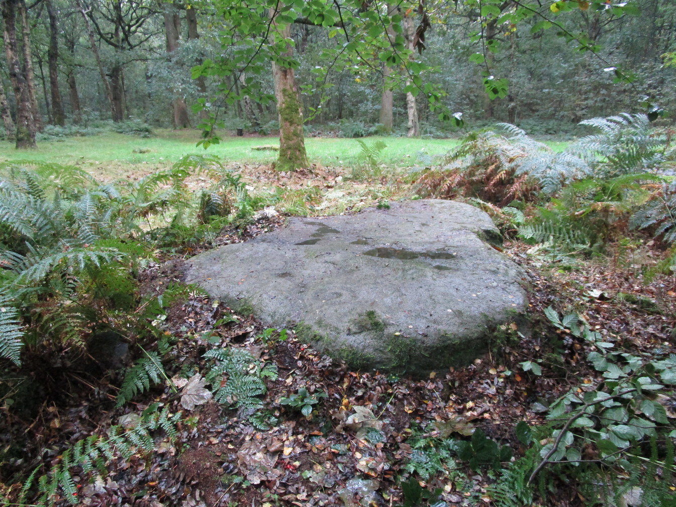
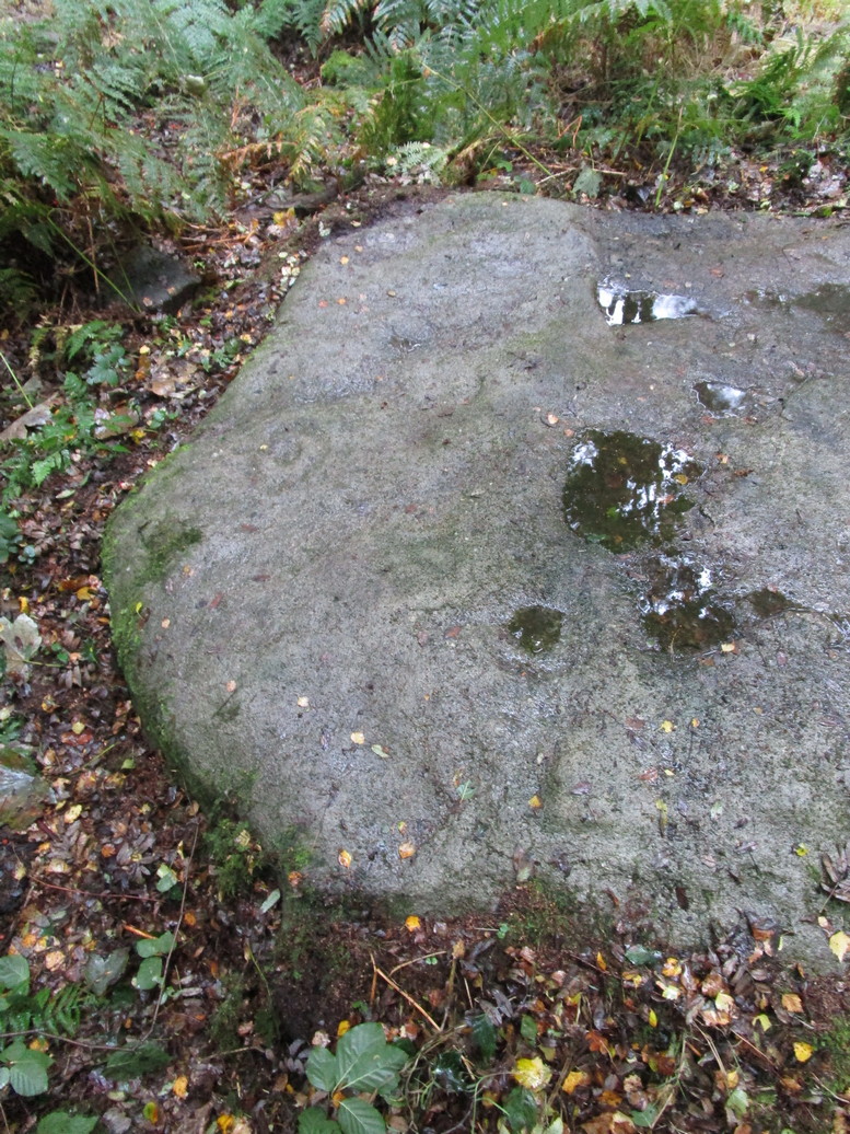
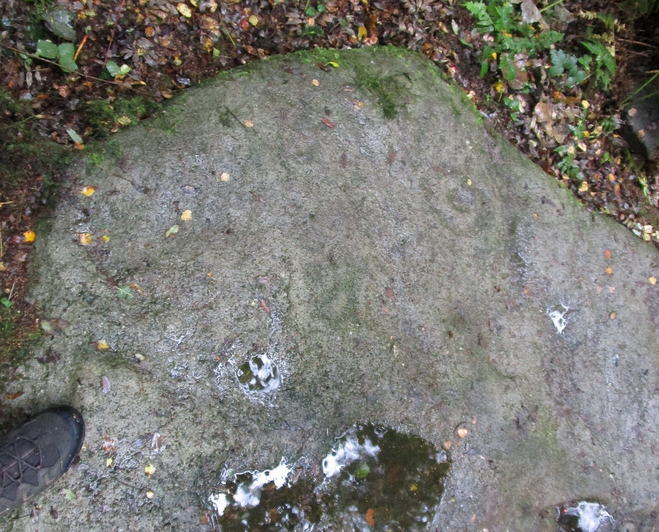
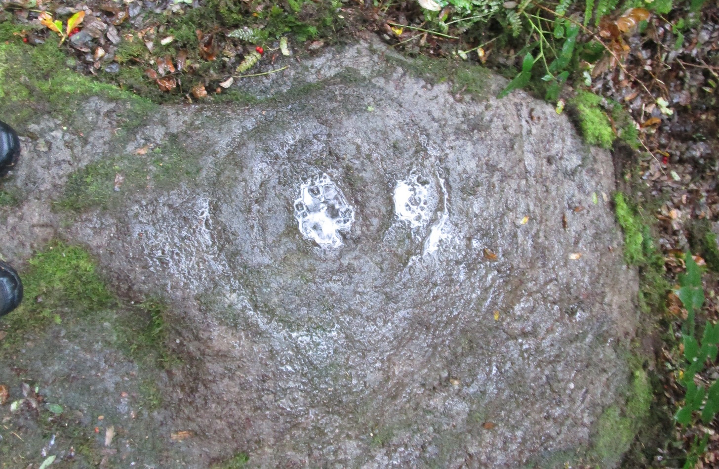
This was another carving in the small cluster by the Fairy Stone that I found on my visit here in the 1980s—but it’s a pretty innocuous one to be honest. There’s a faded incomplete “ring” (not really visible on my photos due to pouring rain and very poor light when I was here) with a distinct cup-mark in the middle. Several inches away from the cup-and-ring is a carved line that arcs around it creating an incomplete oval design; and what seems to be a single cup-mark is visible at the top of this oval. Other marks on the stone are both natural as well as recent ‘scratches’.
Some elements of this carving—as with others in this petroglyph cluster—seems to be modern. The cup-and-ring seems to be the real deal, but the ‘oval’ seems to have been added much more recently, perhaps by the scouts who play around in this part of the woods.
Get yerself to the Fairy Stone, then walk east past the adjacent woodland carvings—numbers 2, 3 and 4—from where you should walk about another 10 yards east across the grass, keeping your eyes peeled for a large flat stone measuring about 6ft by 10ft just as you go back into the tree cover north-side. You’ll find it.
Archaeology & History
This large carved rock is the easternmost known petroglyph in this small woodland cluster of five. (a sixth one can be found, but it’s several hundred yards east from here) Consisting of two distinct cup-and-rings in relative proximity to each other on the northern section of the stone, this design—unlike others in this group—has a greater sense of stylistic authenticity to it. Despite this, one of the two cup-and-rings seems to be a more recent addition to the rock, as close inspection shows peck marks that aren’t very well eroded as you’d expect on rock of this type if it was truly ancient. The more faded cup-and-ring on its northwestern section looks to have a greater sense of age about it when we look at its erosion level….perhaps…
The 2 Cup & RingsThe 2 cup-and-rings
We have to take into consideration when looking at this carving and the others nearby that possess some quite peculiar design-elements, that this section of woodland is used extensively by boy scouts who do what boy scouts do in their teenage ventures: from making fires, climbing trees and, perhaps, scribing on stones if/when their elders aint looking. It’s an important ingredient that has to be taken into consideration when looking at the more rash motifs hereby—this carving included. The more faded cup-and-ring on this, however, may be the real deal. And hopefully, next time I visit this site, She’ll not be dark and pouring with rain (much though I love such weather), so I’ll be able to get some better photos!
Follow the same directions as if you’re visiting the impressive Fairy Stone carving, then check out the overgrown rock three yards away, to the east. You might have to rummage under the scrubbage to see it, but you’ll find it if you want to!
Archaeology & History
I first found this stone in the 1980s when I’d been shown the Fairy Stone carving which, at the time, was thought to be all alone. But I used the olde adage: “where’s there’s one cup-and-ring, others tend to be“—and found this and several others closed by.
Large messy cup-and-ring
It’s a relatively small, slightly-domed earthfast rock, upon which we find an unusually large cup-and-double-ring design with a carved line running from the large central cup out to the edge of the stone. However, the carved lines that constitute both the inner and outer rings are ‘crude’ in form and style when compared to the vast majority of other British petroglyphs; and for some reason, this aspect of the design has me casting doubts over its prehistoric authenticity. I hope I’m wrong!
References:
Bennett, Paul, ‘Tales of Yorkshire Faeries,’ in Earth 9, 1988.
Bennett, Paul, The Old Stones of Elmet, Capall Bann: Milverton 2001.
Coming up from Otley, make your way up to the Askwith Moor road (the only one that goes across the moors) and park up on the rough parking spot on the right-side (east) of the road. You can’t really miss it. From here walk up the road for less than 500 yards until your reach the rickety gate and the path onto the moors. From here I walked 600 yards east, thru the heather until I reached the wall (close to the Tree of Life Stone) and then followed the wall up for 150 yards, then back up (west) onto the moor again and, about 50 yards along at the foot of the slope, keep your eyes peeled for the earthworky undulations beneath your tiny feet!
Archaeology & History
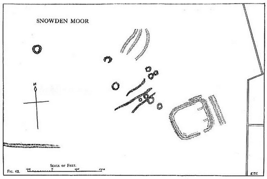
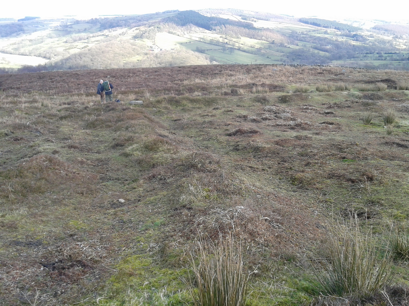
Just below the scattered Snowden Moor settlement we find this curious large structure, first described 75 years ago by the northern antiquarian Eric T. Cowling (1946). Since then, apart from a cursory overview, archaeologists haven’t really paid it much attention.
Eastern ditch, looking NEastern ditch, looking S
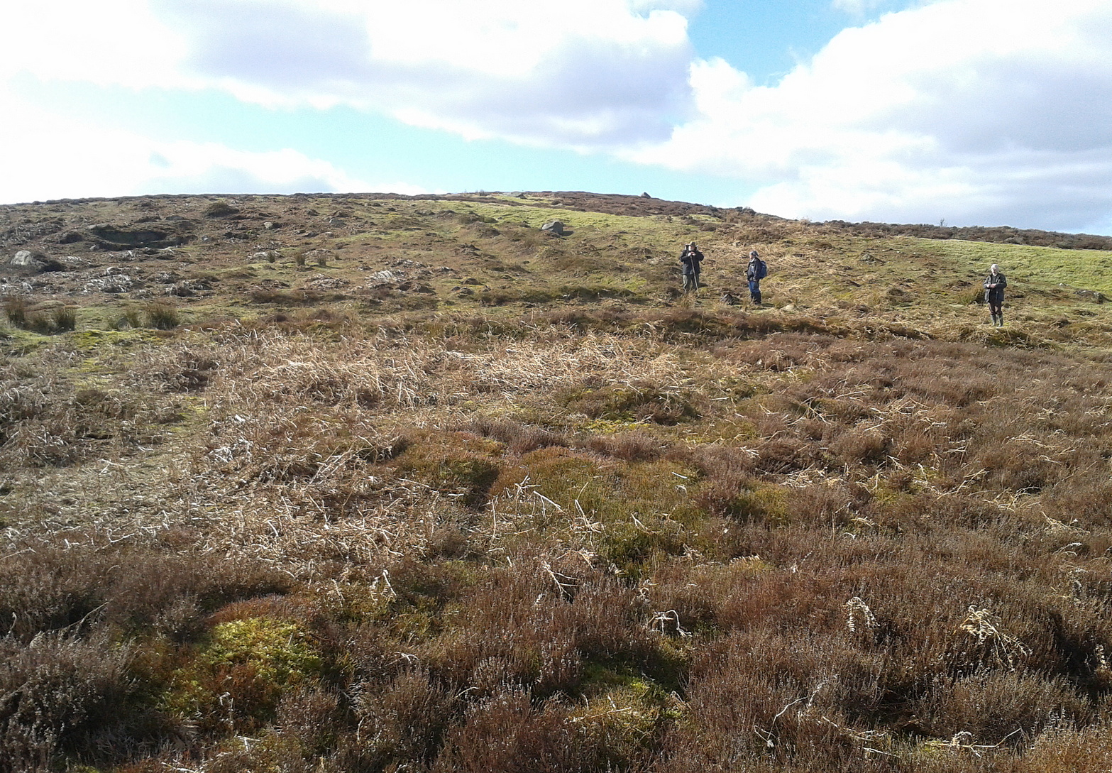
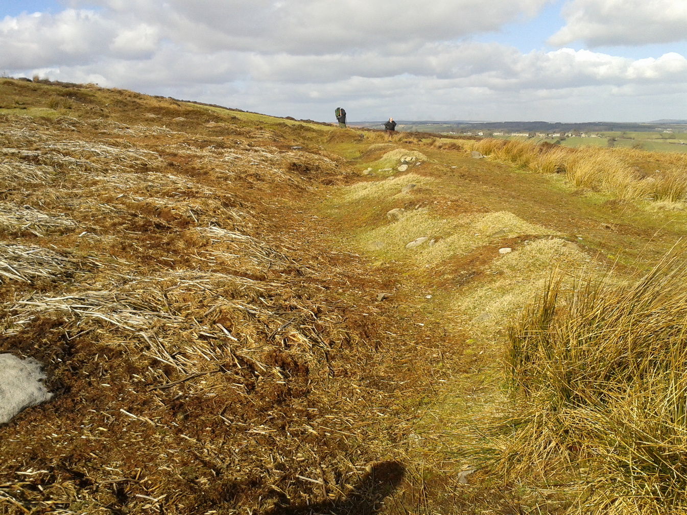
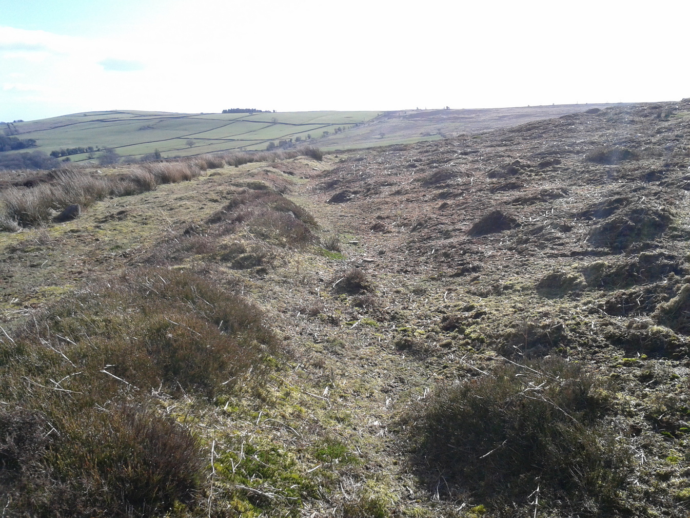
It’s a large site – and one which Cowling thought was constructed in the Iron Age. He may have been right, but there’s such a profusion of ancient sites on this small moorland area—dating from Neolithic times onwards—that it could be earlier than he thought. It’s an odd site too! Unlike the prehistoric D-shaped enclosure and settlement on the top of the slope less than 100 yards away, and an equivalent D-shaped enclosure to the south, the area inside Cowling’s enclosure ostensibly is on quite sloping ground, with barely a flat level area anywhere inside it. As a result of this, we can safely conclude that it wasn’t where people lived; and the complete lack of any inner hut circles (which you’d expect in a standard enclosure of this size) encourages this view. It’s a bit of a puzzle! Cowling opted for the idea that it was built to enclose cattle – which may be right; but again, even this must be questioned, as there is ample space on more level ground where this could have been done. His description of the site is as follows:
“The most prominent feature (on these moors) is a D-shaped enclosure which covers the nose of the spur; the area is eighty feet from north to south and seventy feet from east to west. The enclosing bank is of piled boulders, three feet high and eight feet wide. Cuttings across the north side revealed no evidence of dry walling, but rather a bank to carry a heavy stockade. A shallow trench runs inside the bank, which is doubled where it is overlooked by higher ground at the northeast corner. A second outer bank at the eastern side has an outer trench. Along the ridge to the east are circles of varying size, probably a hut group. A larger circle (?) of heavy material, some thirty feet in diameter, is isolated on the shelf above Snowden Crags to the west. Strips of wall and remains of enclosures of circular shape abound.”
Cowling’s plan of the siteNorthern bank, looking E
Cowling’s initial measurements of the site underestimated its real size, as the bank and ditch that runs roughly north-south is close to 52 yards—nearly twice as long! The same was found along its east-west size: being 56 yards, which is more than twice what Cowling measured. Altogether, the enclosure measures approximately 225 yards around its outer edges. In fairness, Cowling’s error was probably due to it being covered in vegetation when he came to do his measurements here. …So, if you’re gonna check this place out, make sure you do it in the winter or early spring months, before the bracken encroaches.
There’s a real abundance of prehistoric sites all over this part of the moor, from more settlement remains, cairns, ring cairns and petroglyphs. Make a day out of it.
References:
Cowling, Eric T., Rombald’s Way, William Walker: Otley 1946.
If you’re coming via Ilkley, cross the bridge to Middleton and turn left, following the long winding road for several miles until you hit Langbar village. If you’re coming via Bolton Bridge, go to Beamsley village and turn left up Lanshaw Bank until you hit Langbar village. Whichever of the two routes you use: on the north side of Langabr village is a distinct small rough car park. From here, cross the road where the footpath sign is and walk straight up the steep hill to Beamsley Beacon at the top. You can’t miss it!
Archaeology & History
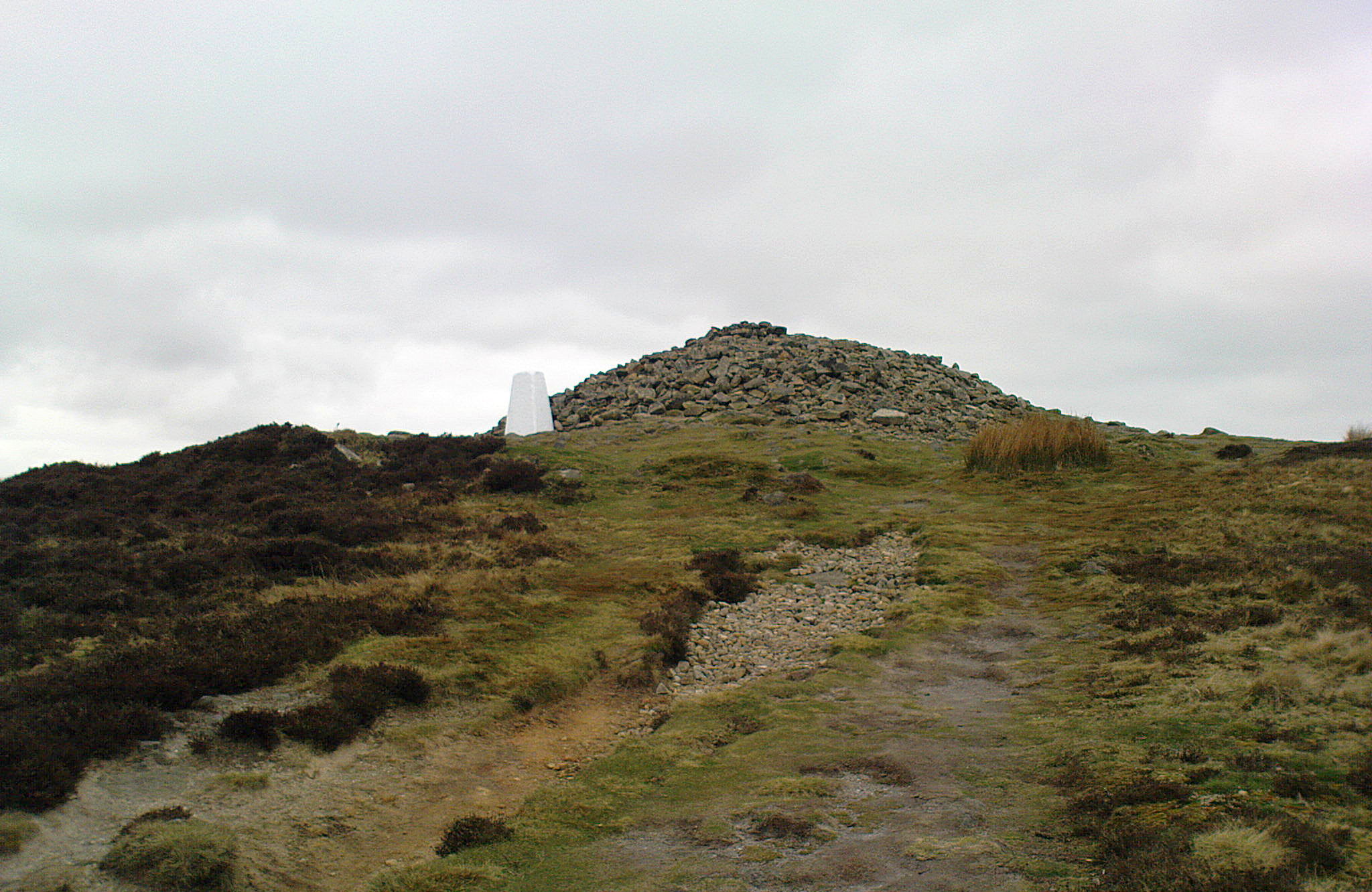
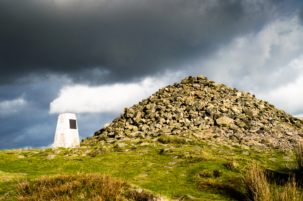
At the highest point on these hills, 1300 feet up, we come across this ancient prehistoric cairn. Its position in the landscape is impressive to say the least, being visible from nearly every direction on the moorland heights for many miles around, as well as being conspicuous from the riverlands below. A visit to the site nowadays shows it surmounted by a more recent mass of small stones turning it into a large walker’s cairn with only its compact base showing any real sign of antiquity.
Site shown on 1853 mapWestern side of the cairn
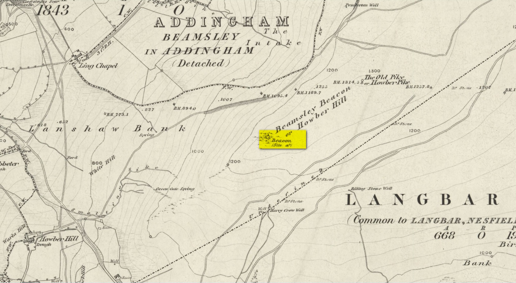
Mentioned briefly in parish records from 1658 onwards, it was highlighted on the earliest OS-map as simply a Beacon hill, due to it being used for beacon fires. We’re not certain when its beaconesque function first came about; and, it’s possible, that its beacon element could have replaced a much earlier heathen fiery function, typical of many hilltop sites up and down this and other countries. But we do know that such fires were lit here at the beginning of the 19th century. The great Harry Speight (1900) told that of its
“use as a prospecting-point and beacon there is no doubt. In the Bolton Abbey registers, under date 1803, is this entry:
“Apprehensive of a French invasion, Beamsley Beacon was put in a state of repair, and four people appointed to watch it. About — of the inhabitants of this chapelry inrolled themselves as Volunteers, the whole number of whom in Craven amounted to 1,200 Infantry and 200 Cavalry. A Sergeant was appointed to drill the volunteers of this chapelry at Bolton.”
The beacon at this time received light from Pinhaw on Carlton Moor and sent it forward to Otley Chevin, as appears by an old chart at Wakefield, dated 1803.”
The beacon’s ancient name of Howber Hill is literally the Hill of Tombs, as derived from the Teutonic haugr, and Anglian how, being a burial mound; and berg is a hill, sometimes fortified. Whilst there seems to be no evidence of ancient fortification, compacted cairn material at the base seems to confirms the -how element. Yet despite Speight citing this etymology, he was was somewhat sceptical wondering, instead, if the site was merely a giant boundary marker—which it has been for centuries.
A short distance along the footpath to the east is the denuded old cairn known as The Old Pike. Further east still, along the same boundary line, there was once another old tomb, long since gone…
Folklore
I’m not sure whether this should gone in the folklore section or not. But, well, it’s here nonetheless! In Guy Phillips’s (1976) book on the mythic history of ancient Brigantia, he describes a number of alignments, or leys (not one of those stupid energy lines, which has nowt to do with leys)—one of which crosses Beamsley Beacon. It’s an west-east line that begins at Cockerham and from there goes,
“through Top of Blaze Moss SD 619525, Slaidburn (it is very clear here), Flambers Hill SD 877523, southern edge of Copy Hill 952523, Draughton (extremely clear), Beamsley Gibbeter and Beamsley Beacon, Heligar Pike, Scow Hall 203523, Little Almscliffe Crag, Tockwith church and on to the coast.”
I have to say that I’m sceptical of the veracity of this alignment.
References:
Bogg, Edmund, Higher Wharfeland, James Miles: Leeds 1904.
Cobley, Fred, On Foot through Wharfedale, William Walker: Otley 1880.
Phillips, Guy Ragland, Brigantia – A Mysteriography, RKP: London 1976.
Smith, A.H., English Place-Name Elements – volume 1, Cambridge University Press 1956.
Smith, A.H., The Place-Names of the West Riding of Yorkshire – volume 5, Cambridge University Press 1963.
Speight, Harry, Upper Wharfedale, Elliott Stock: London 1900.
Acknowledgements: Huge thanks to James Elkington for use of his photo on this site profile. Cheers mate. 😉
Holy Well (destroyed): OS Grid Reference – SE 6071 5187
Archaeology & History
At the beginning of the 19th century, William Hargrove (1818) described the scant remains of some old walling along old Haver Lane (renamed as Green Lane and now known as The Stonebow) which were the remains of a building, long gone, and which,
“tradition informs us (was) a religious house, which formerly stood here, called Holy-Priests; and though the site of it is not known, the report is greatly strengthened by the appearance of the walls just mentioned, and by the circumstance of a deep draw-well which now remains, being still called Holy-Priests Well.”
Some suggest that this water source may still exist beneath one of the buildings hereby, but the landscape here has been so badly mutilated over the last two hundred years that it’s very unlikely.
References:
Hargrove, Willliam, History and Description of the Ancient City of York – volume 2, part 2, W. Alexander: York 1818.
Holy Well (destroyed): OS Grid Reference – SK 589 789
Also Known as:
Prior Well
Archaeology & History
Once to be seen in the ancient landscape immediately northwest of Worksop Priory by the old Mill Pond, this sacred well has sadly been built over, but memory of it is still retained in Priorswell street-name and, previously, the Priorwell Brewery. Not much has been written about it, but thankfully the historian John Holland (1826) gave us a short account, saying:
“There is a spring, now enclosed, called the “Priorwell,” and a meadow, of four acres, denominated from the same; and from which, it might be presumed, that the canons would draw their supplies of water, was it not for the convenient proximity of the river, which they must have had to ford for that purpose. It was “formerly”, says Parkyns, in his Monastic and Baronial Remains, “celebrated for miraculous cures; but since monastic deceptions have unveiled themselves, votaries no longer offer, and consequently cures are no longer performed.” This may have been the case: more recently the well has been resorted to by persons having sore eyes, in the cure of which, it is said to be efficacious, and has probably the common virtue of fresh cool spring-water.”
References:
Holland, John, The History, Antiquities and Description of the Town and Parish of Worksop, J. Blackwell: Sheffield 1826.
Parkyns, George I., Monastic and Baronial Remains – volume 1, Longmans Hurst: London 1816.
White, Robert, Worksop, The Dukery and Sherwood Forest, Simpkin Marshall: London 1875.