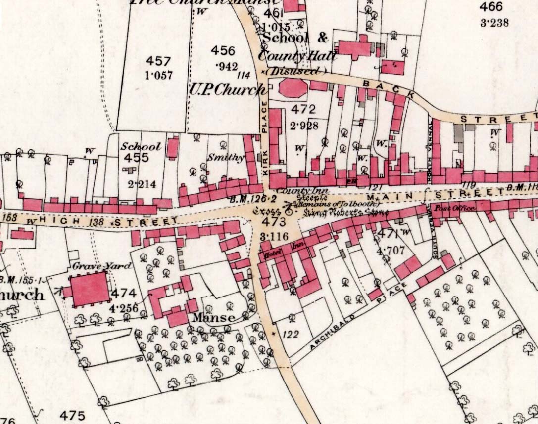
Cross: OS Grid Reference – NN 72704 01570
Also Known as:
- Market Cross
Getting Here
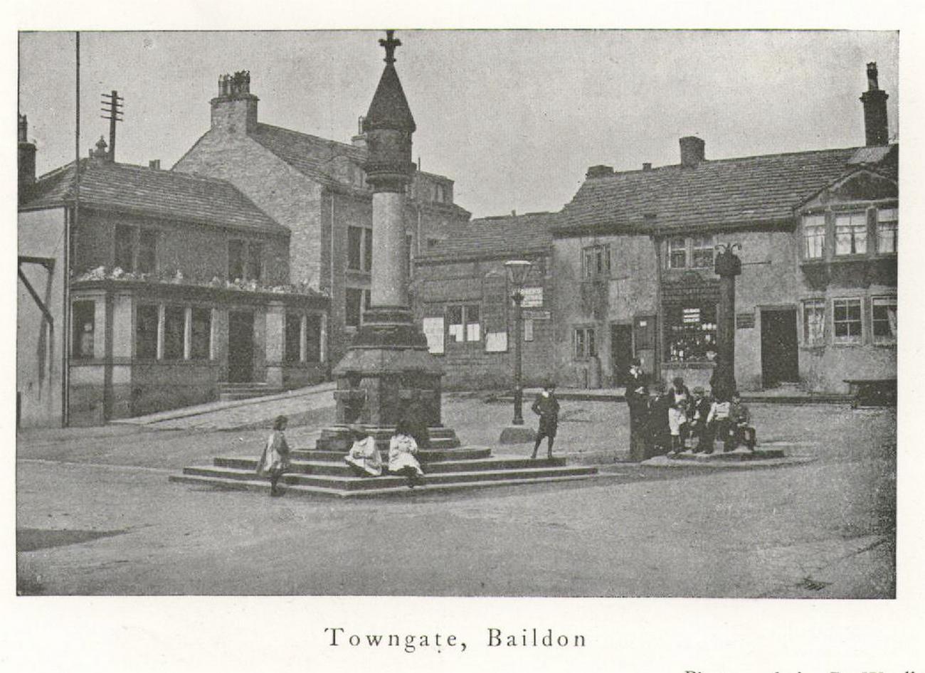
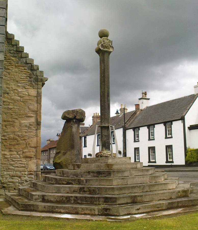
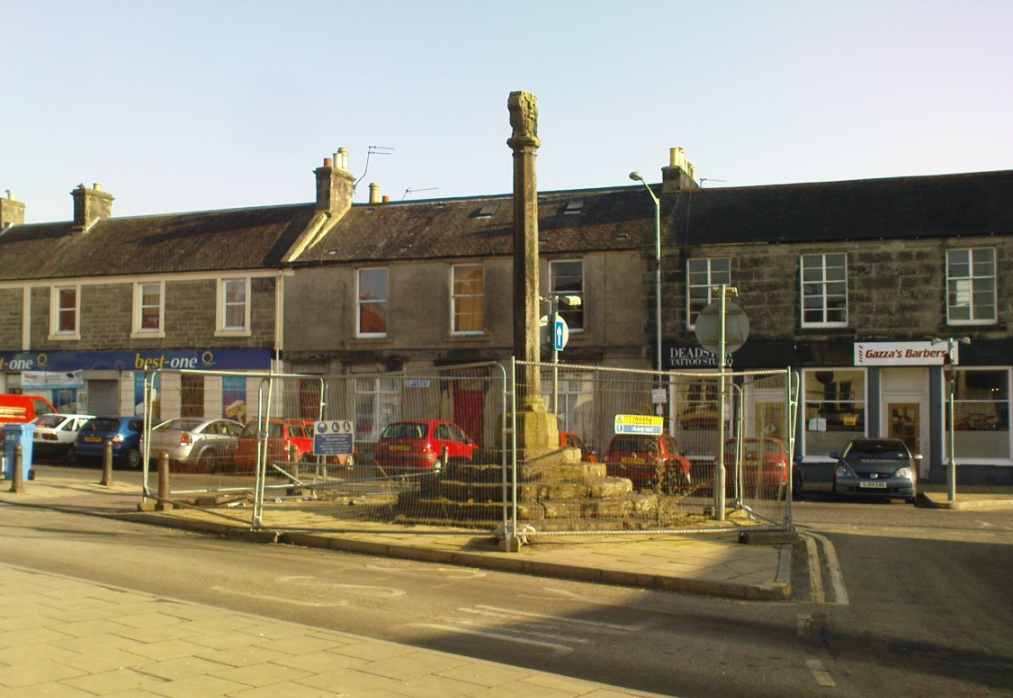
Easy to find: get into the middle of the village where the shops are in the main street and where another road veers off, the cross sits there in the middle in the traffic island. The photo here shows its location clearly.
Archaeology & History
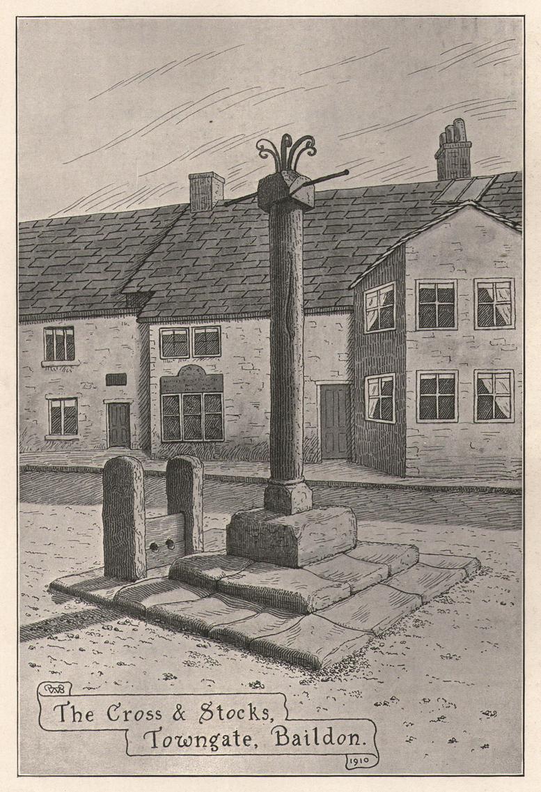
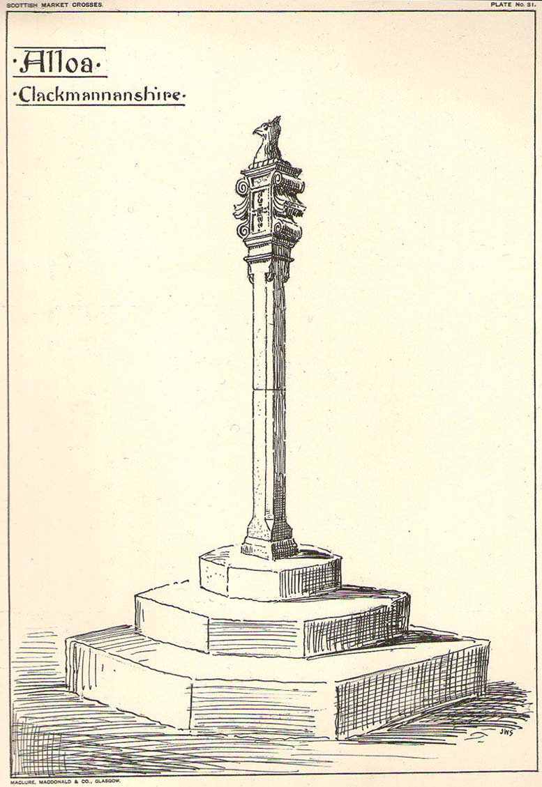
Found at the meeting of the roads in the centre of this old lovely village, the Mercat Cross in its present state was, according to Act of Parliament, erected a few years prior to 1696. Set on a square base of six steps in traditional pyramidal fashion, near the top of the 12-foot tall shaft are carvings on the sides of the stone. On the east-face was carved the Moray arms, and on the west face were carved sundials. John Small (1900) told how the top of the cross is crowned by the figure of a lion, “holding in its paws a circular shield or escutcheon, surrounded by a ribbon enclosing he Moray crest, and bearing the motto, ‘Salus per Christum.’
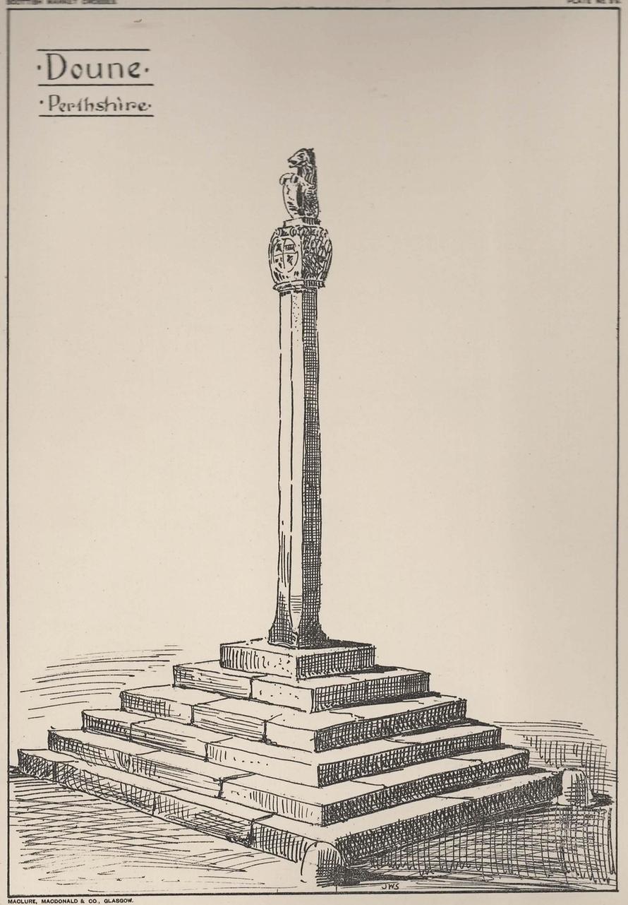
It has been damaged a few times over the years. Sometime around 1800, Moray Mackay (1953) told that “the lion fell of and was damaged”, but was repaired shortly afterwards by a local man. He also told, with considerable indignation, how the local authorities were responsible for damaging what used to be “four short pillars which stood at the corners of the base,” when they were “smashed off and removed , impairing the balance of the whole (cross) for the sake of six inches more traffic room”! There are two such short pillars at the edges, but these aren’t the original stones. There used to be a water pump in front of the cross, but this was removed many years ago.
References:
- Mackay, Moray S., Doune – Historical Notes, Forth Naturalist: Stirling 1984.
- McKenzie, A.F. & S., Doune – Postcards from the Past, Forth Naturalist: Stirling 1988.
- Small, John W., Scottish Market Crosses, Eneas Mackay: Stirling 1900.
© Paul Bennett, The Northern Antiquarian