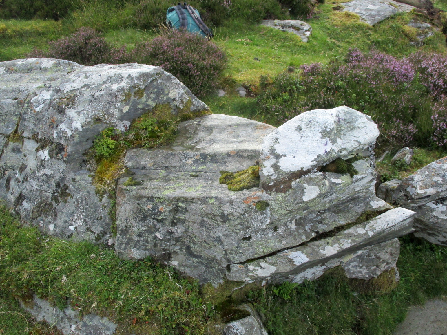
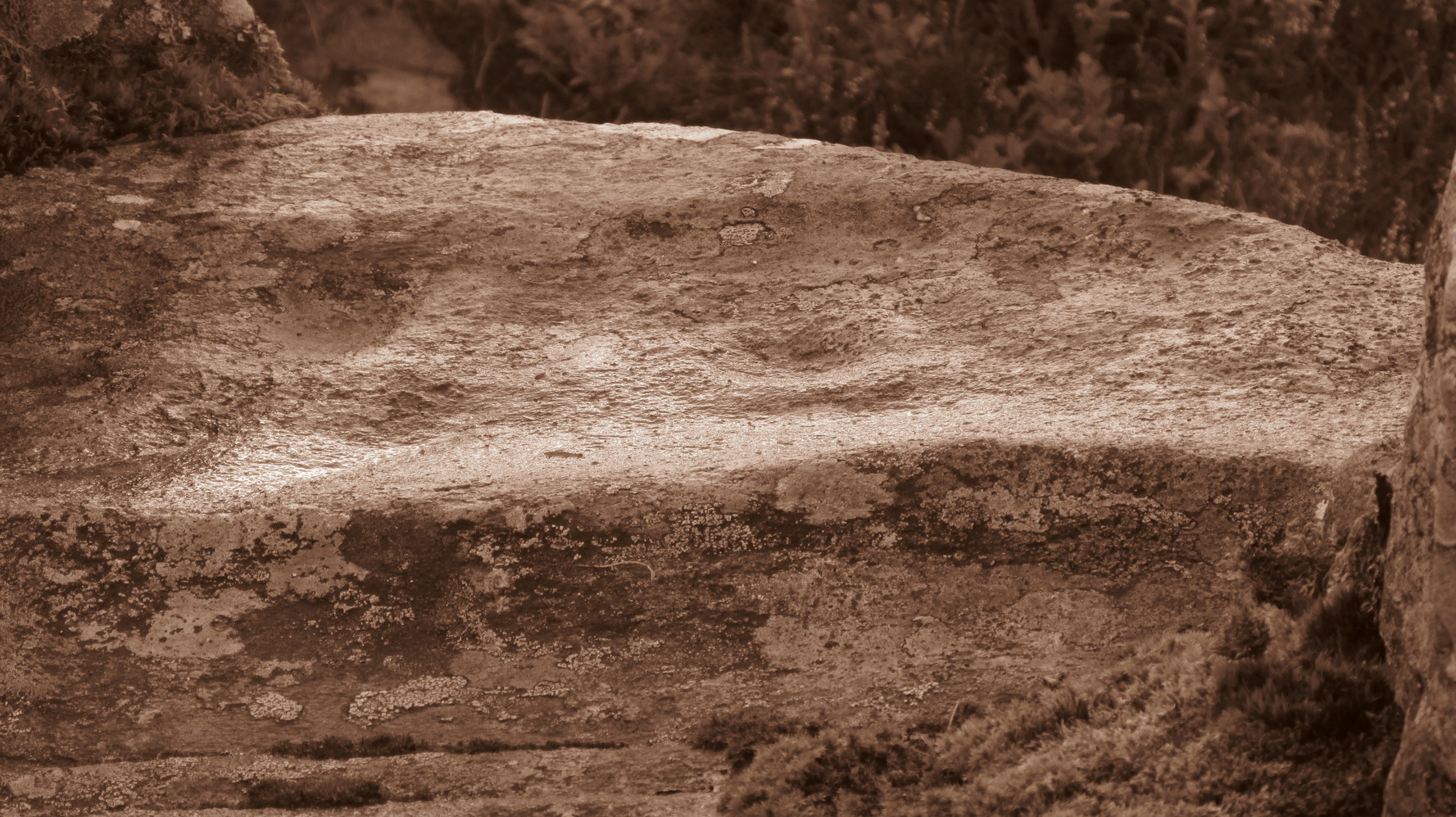
Cup-Marked Stone (destroyed): OS Grid Reference – NJ 4124 5308
Archaeology & History
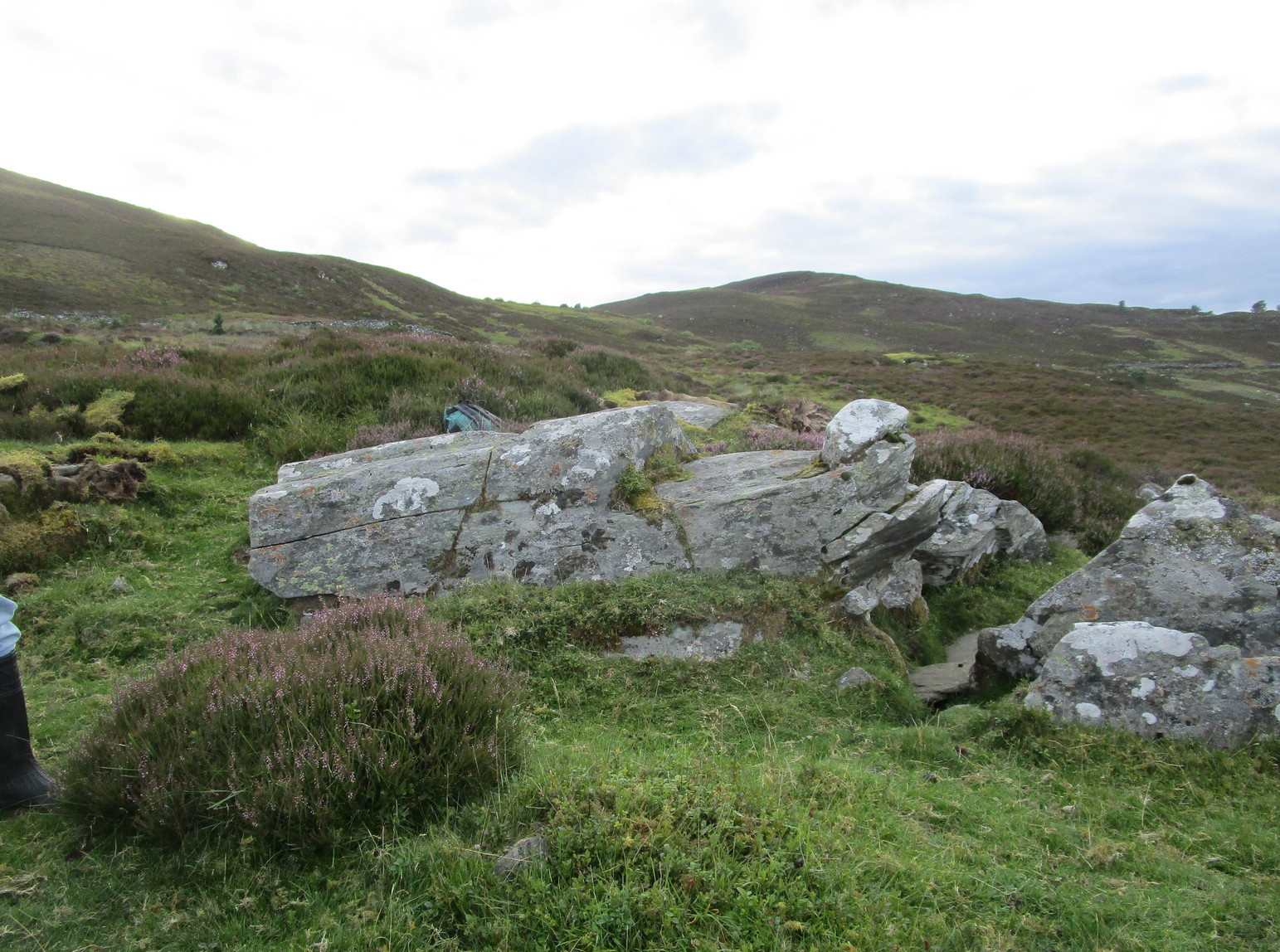
Diagonally across the road from Killiesmont, about a hundred yards up the sloping field on “a piece of ground called the Helliman Rig,” could once be seen a large flat stone with cup-markings on its surface. Walter Gregor (1881) told that,
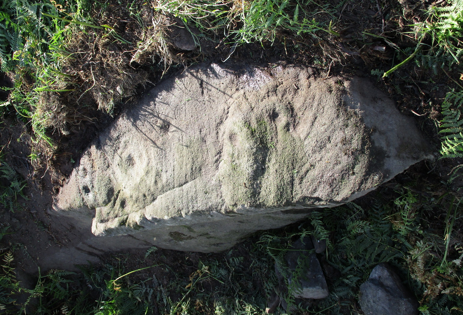
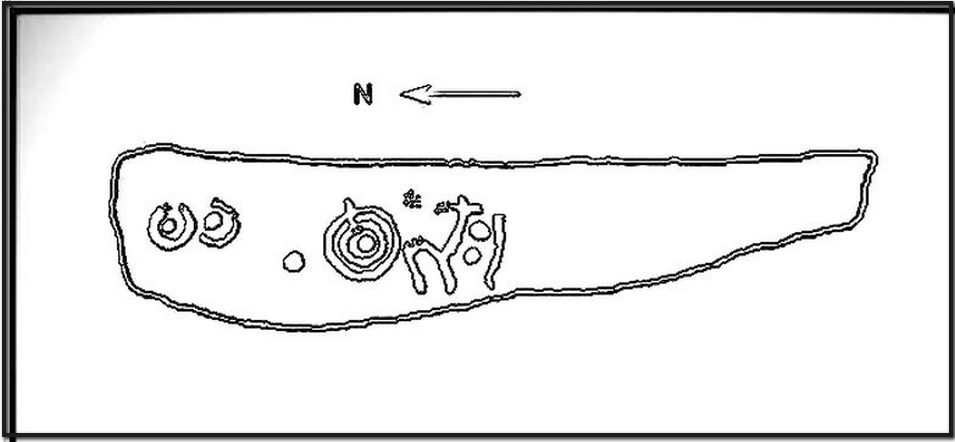
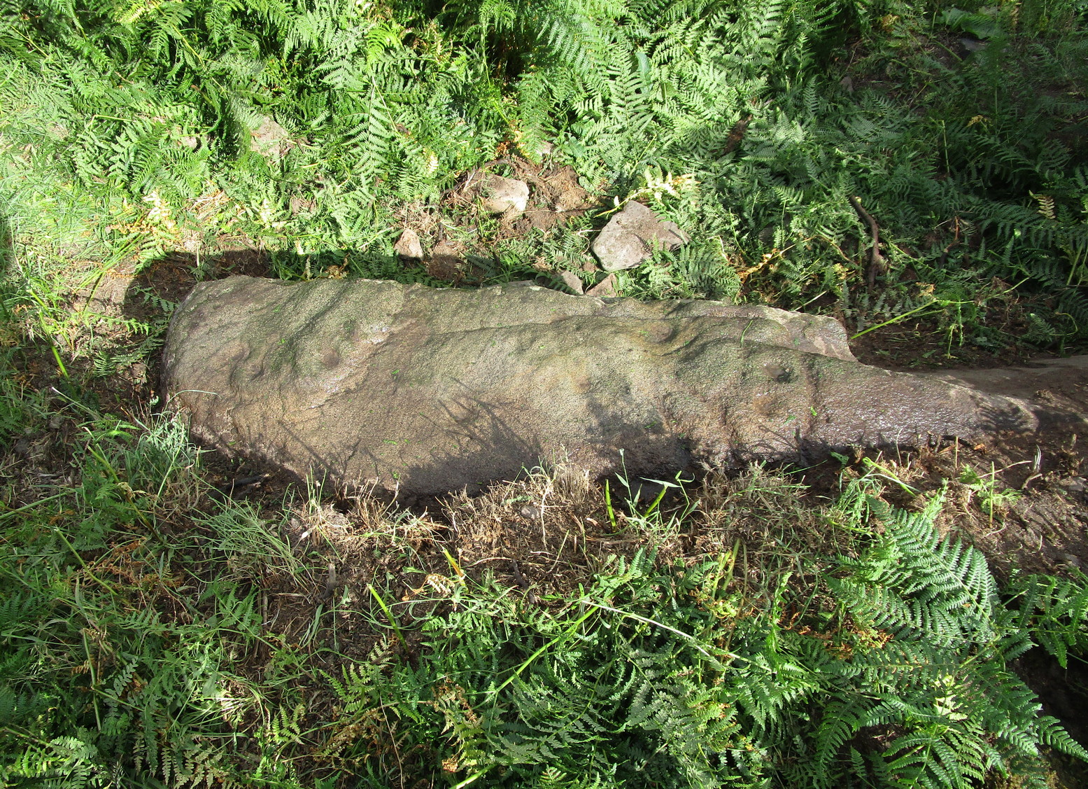
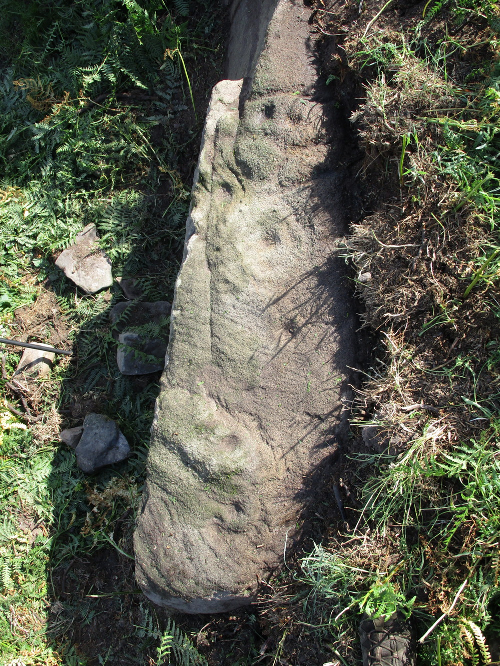
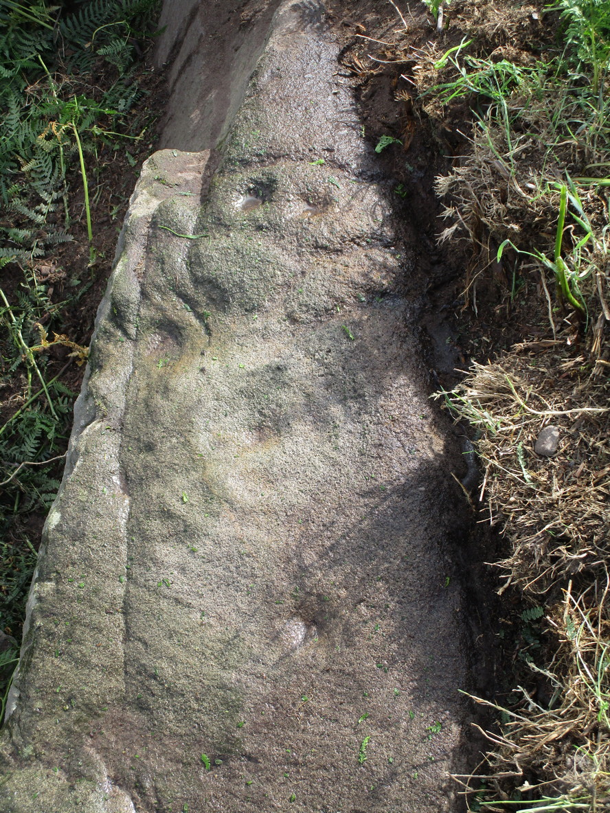
“It lay on the top of a rising ground, and commanded a very wide view of the country, stretching for many miles over the hills of Banff and Moray. In a part of it the rock–a kind of slate–came to the surface. In the rock were cut out nine cups in three rows.”
The carving was earlier described in one of the Topographical Gazetteers of Scotland (1848) where its story is bound up with local tradition and folklore of the land where it lie. There it was described as being “a flat circular stone of about 8 feet in diameter, in which there are a number of holes, but for what purpose tradition is silent.” Subsequently the local historian J.F.S. Gordon (1880) talked of this “large flat circular Stone, of about 8 feet in diameter, in which there was a number of half-pierced holes…. It was too large for a Quern or even a Millstone; and its purpose remained an enigma.”
The stone came to light when a local farmer was digging in the field and, “at the upper end of the Rig, there was found a rude Cist among a heap of stones, which contained ashes.” The cup-marked stone was “turned up” at the same time. It has sadly been destroyed—along with the associated cairn that probably had some relationship with the carving. Prehistoric tombs and rock art are frequent bedfellows and it seems likely that the equation occurred here. But the location of the site had some fascinating local lore told of it…
Folklore
The location of this carved stone in the field called ‘Helliman Rig’, was also known as the Guidman’s Croft or the Gi’en Rig. This was a portion of land that was never to be touched or ploughed as it was “given or appropriated…to the sole use of the devil, in order to propitiate the good services of that malign being.” This devilish tradition superseded the earlier faith of it being a place set aside for the fairy folk and their allies—nature spirits no less. And it’s a tradition found in many places across Scotland and elsewhere, as the account in the Scottish Gazetteer told :
“Like other crofts of this description in Scotland, the present remained long uncultivated, in spite of the spread of intelligence (pedantic bastard! PB). The first attempt to reclaim it was made not more than 50 years since, when a farmer endeavoured to improve it; but, by an accidental circumstance, it happened that no sooner had the plough entered the ground than one of the oxen dropped down dead. Taking this as an irrefragable proof of the indignation of its supernatural proprietor, the peasant desisted, and it remained untilled till it came into the possession of the present occupant…”
This of course fortified the old folklore in the eyes of local people. I’ve found that even up to recent times, such folklore is still held quite seriously by some of the old folk in the mountain villages and hamlets.
References:
- Anon, The Topographical, Statistical and Historical Gazetteer of Scotland – volume 2, A. Fullarton: Edinburgh 1848.
- Gregor, Walter, Notes on the Folk-lore of the Northeast of Scotland, Folklore Society: London 1881.
- Gordon, J.F.S., The Book of the Chronicles of Keith, Grange, Ruthven, Cairney and Botriphnie, Robert Forrester: Glasgow 1880.
© Paul Bennett, The Northern Antiquarian