Sacred Well: OS Grid Reference – NS 81787 97653
Getting Here

Not too tricky to locate, as long as you get onto the right footpath! Take either road (both steep narrow and very bendy in places!) up from Logie on one side or Bridge of Allan on the other, towards Sheriffmuir and head to the Faerie or Highlandman’s Well. About 150 yards before this, note the small car-park. From here, go through the gate as if you’re walking to Dumyat, but 50 yards along the footpath it splits into two. Take the lower right-hand path and keep walking for another 600 yards until you see a large worn hawthorn tree on your left, with boggy land just in front of it that runs to the path you’re walking on. That’s it!
Archaeology & History
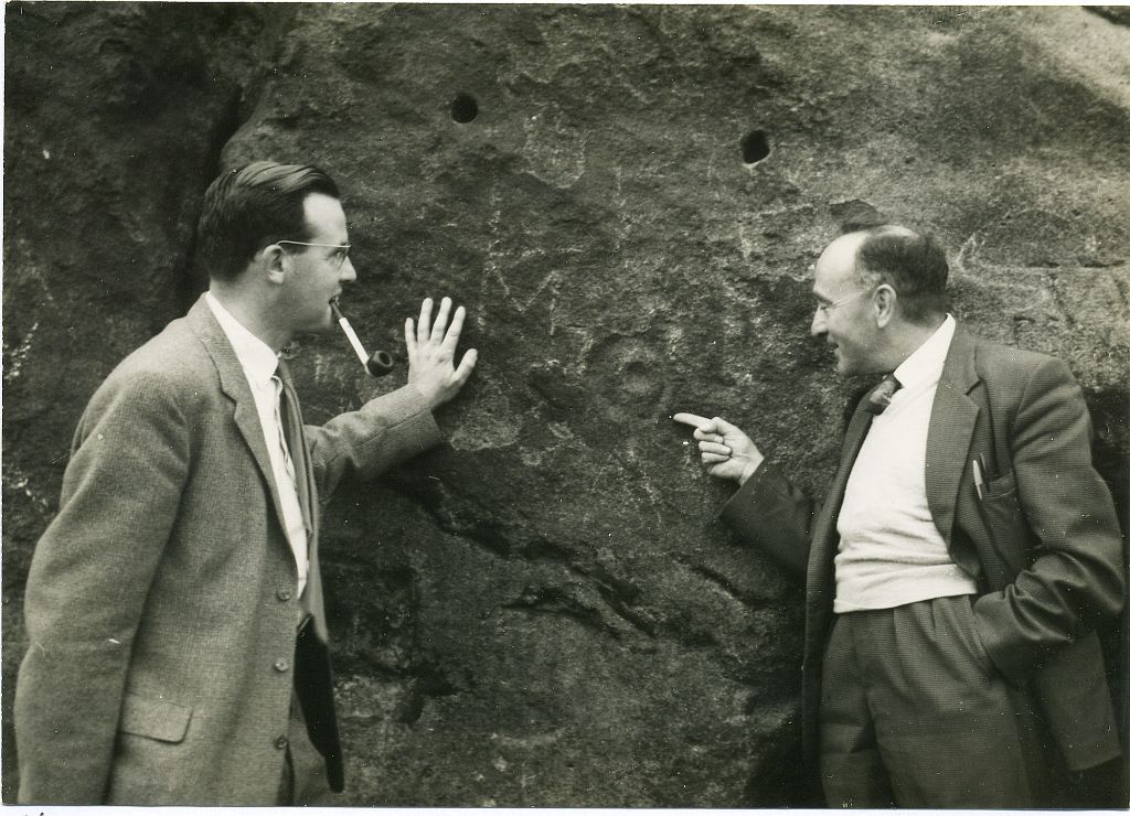
‘Katie Thirsty’ is a most intriguing character who pops up at a number of healing wells, primarily in Scotland. Dedications to her are known near Abernethy, Falkirk, Innerleithen, Killearn, Kilsyth and elsewhere, with one example just over the Scottish border in Northumberland. So who was she? And what’s the story behind this little known example, close to the ruinous Iron Age village east of Dumyat? The truth is, we don’t know for sure as yet. Tales are told of a local lady called ‘Katie’ at the wells near Abernethy and Kilsyth, each with their own domestic myth—but it seems that a wider mythic status underlies this dedication.
One very fine notion comes from the pen of Pictish researcher Ronald Henderson (2008; 2014), who tells that the name derives from a corruption of both St. Katherine of Alexandria [Katie] and the Pictish King, Drust or Drustan [Thirsty]. The latter etymological postulation finds faith in the fact that the great crags of Dumyat less than a mile to the east is universally credited with being the last Pictish stronghold at the old hillfort there.

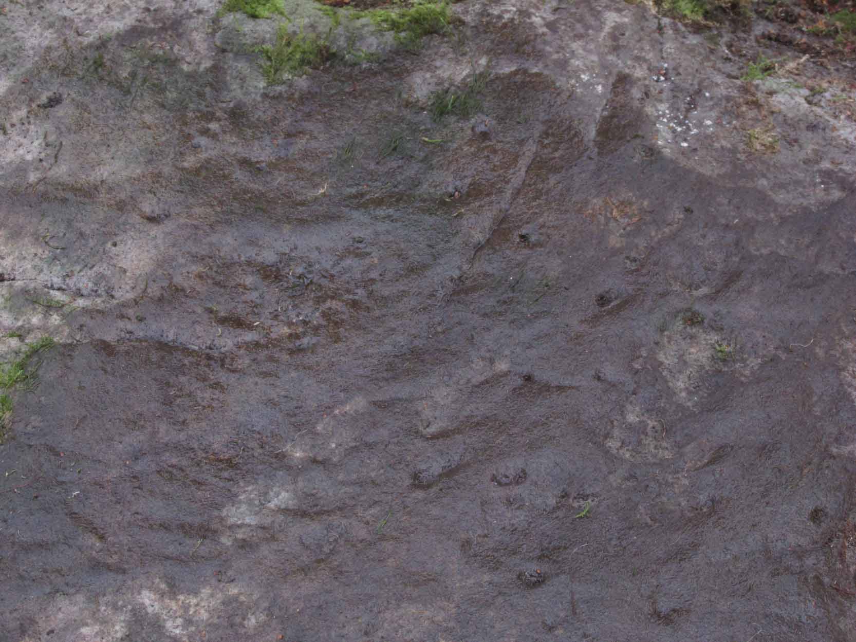
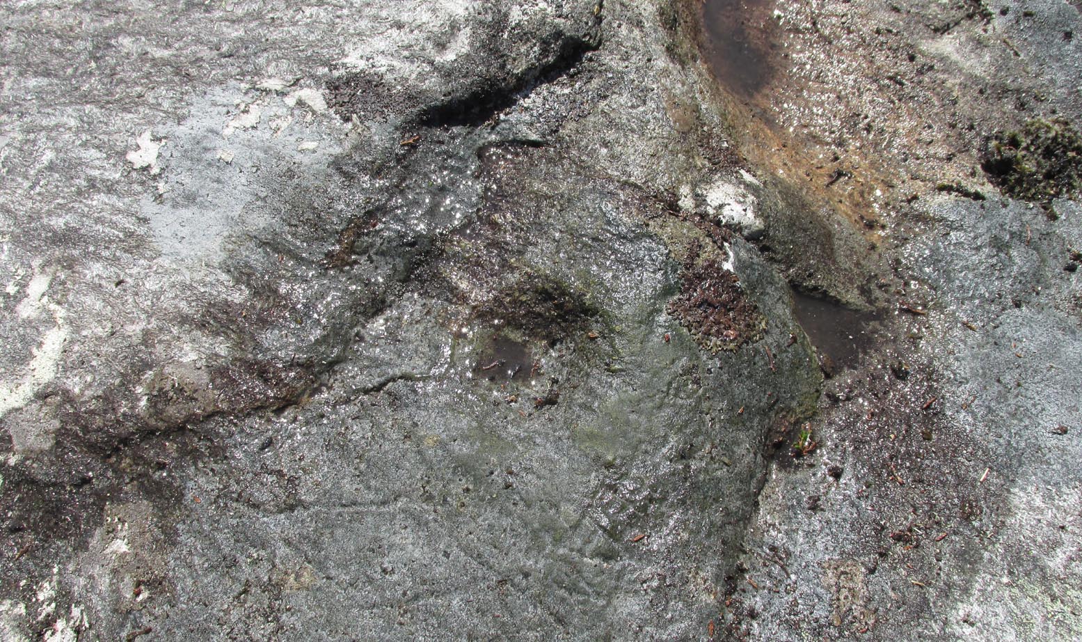
…This well on the hills north of Logie village—with its old hawthorn for companion above the old path to medieval Fossachie village—flows nicely, and its freezing waters are very good to drink. Twenty yards east of the boggy overflow are the overgrown remains of an isolated Iron Age ‘homestead’ or hut circle, and the waters of Katie Thirsty’s Well would have been the primary drinking supply to the people living there in ancient times.
Very little is known about the specific history or folklore of the site and it is mentioned only in passing by David Morris (1935) who told us simply:
‘“Katie Thirty’s Well’ was the old name of a clear spring on the hillside by the track leading to Dumyat.”
It’s a beautiful spot to visit, with lovely views for many miles to the east, south and west. If you’re going to visit the Fairy or Highlandman’s Well nearby, take time to visit Katie Thirsty’s refreshing flow too.
As for Katie herself: does anyone have their own ideas about her…?
References:
- Henderson, Ronald W., Rex Pictorum – The History of the Kings of the Picts, Perth 2008.
- Henderson, Ronald W., “Drust… of the Hundred Battles,” in Celtic Guide, 3:4, April 2014.
- Morris, David B., “Causewayhead a Hundred Years Ago,” in Stirling Natural History & Archaeological Society Transactions, 1935.
© Paul Bennett, The Northern Antiquarian