Cup-Marked Stone (removed): OS Grid Reference – NZ 1480 6417
Archaeology & History
Ryton cup-marked stone
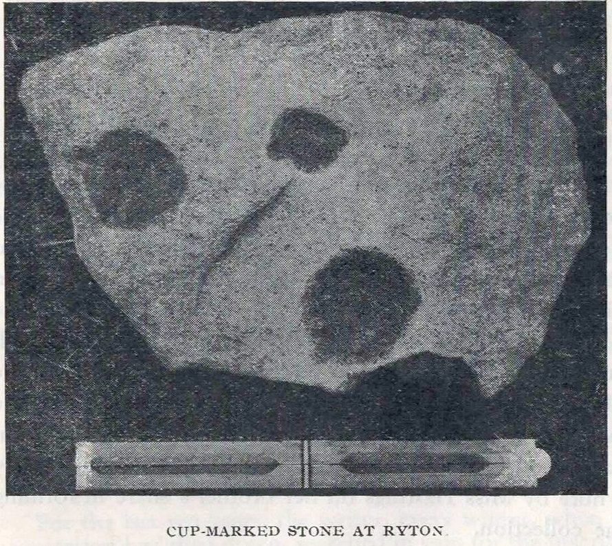
In a short piece read before Newcastle’s Society of Antiquaries in 1942, a Mr Cocks (don’t laugh!) told that when a friend of his was clearing out an old land drain in his garden, he found this fragmented cup-marked stone, “which had been made use of as a corner slab on the drain”! It was located “about 40 yards south-west of Tweedy’s Buildings,” on the west side of town. Broken from a larger piece of stone, the attached photo here shows the simple design of the basic cup-marks, measuring respectively 2½, 2 and 1⅝ inches across. Mr Cocks told that “there are also two finger-tip hollows on the stone tone which or may not be natural. A dark line running between the cups is a natural fissure.”
Last we heard, the stone was living in a box somewhere in the archives at the Great North Museum, Newcastle.
References:
Cocks, W.A., “A Cup-Marked Stone at Ryton,” in Proceedings Society of Antiquaries Newcastle-upon-Tyne, volume X, no.2, January 1943.
Coming from Harrogate, take the B6162 and B6161 road to Beckwithshaw, through the village and, 4-500 yards on, turn right onto Norwood Lane. 2 miles along, keep your eyes peeled on your left for a gravelled parking spot and you’ll see the large rock outcrop 200 yards south of the road. …Otherwise, from Otley: go over the river bridge and turn right up Farnley Lane and follow the B6451 for a few miles, thru Farnley village up the Washburn valley, past Norwood and at Bland Hill, turn right along Broad Dubb Road for 1¾ miles where you’ll reach that same gravelled parking spot.
Archaeology & History
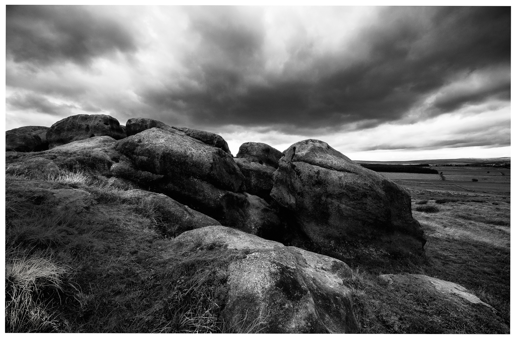
Very much the ‘little brother’ of Great Almscliffe, 3 miles (4.83km) to the southeast, this site would be more of interest to the travelling geologist, perhaps, than to antiquarians. But that depends what tickles y’ fancy I s’ppose.
In 1702 when the northern antiquarian Ralph Thoresby mentioned this and its big brother to the southeast, he described the “two famous crags of Almes Cliff—in some old writings called Aylmoys ut dicitur—but have seen nothing memorial of it, saving its remarkable lofty situation.” He missed the cup-and-ring carving on the east-side of the crags, obviously, which indicates that it had some form of animistic sanctity in ancient times.
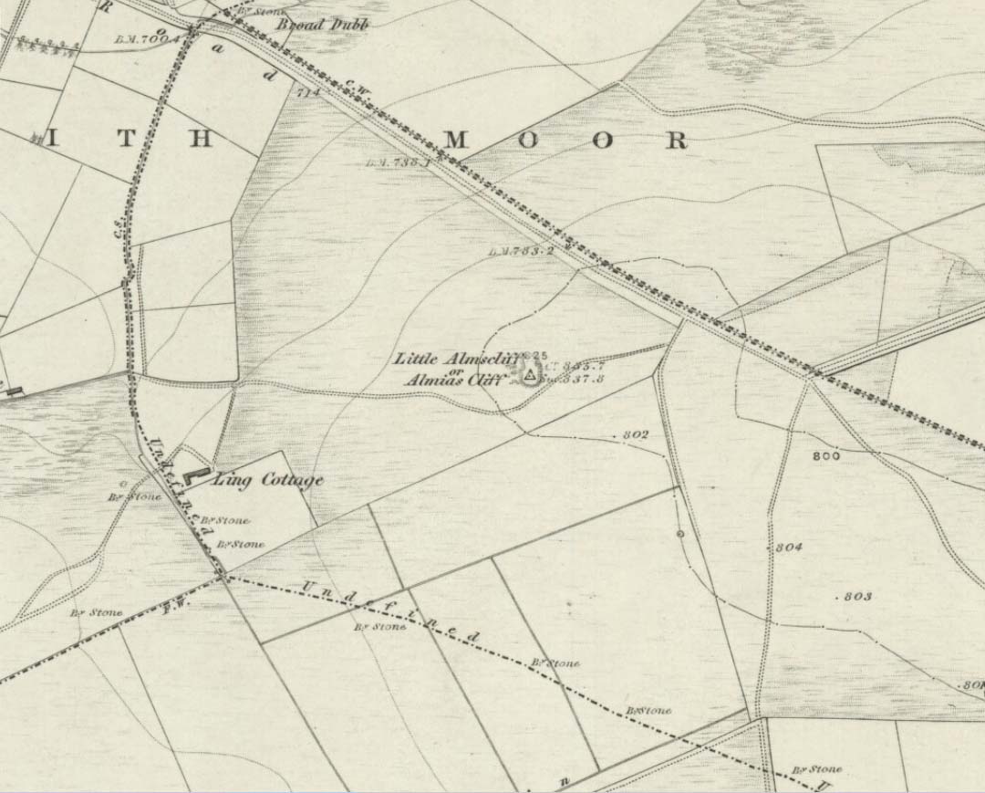
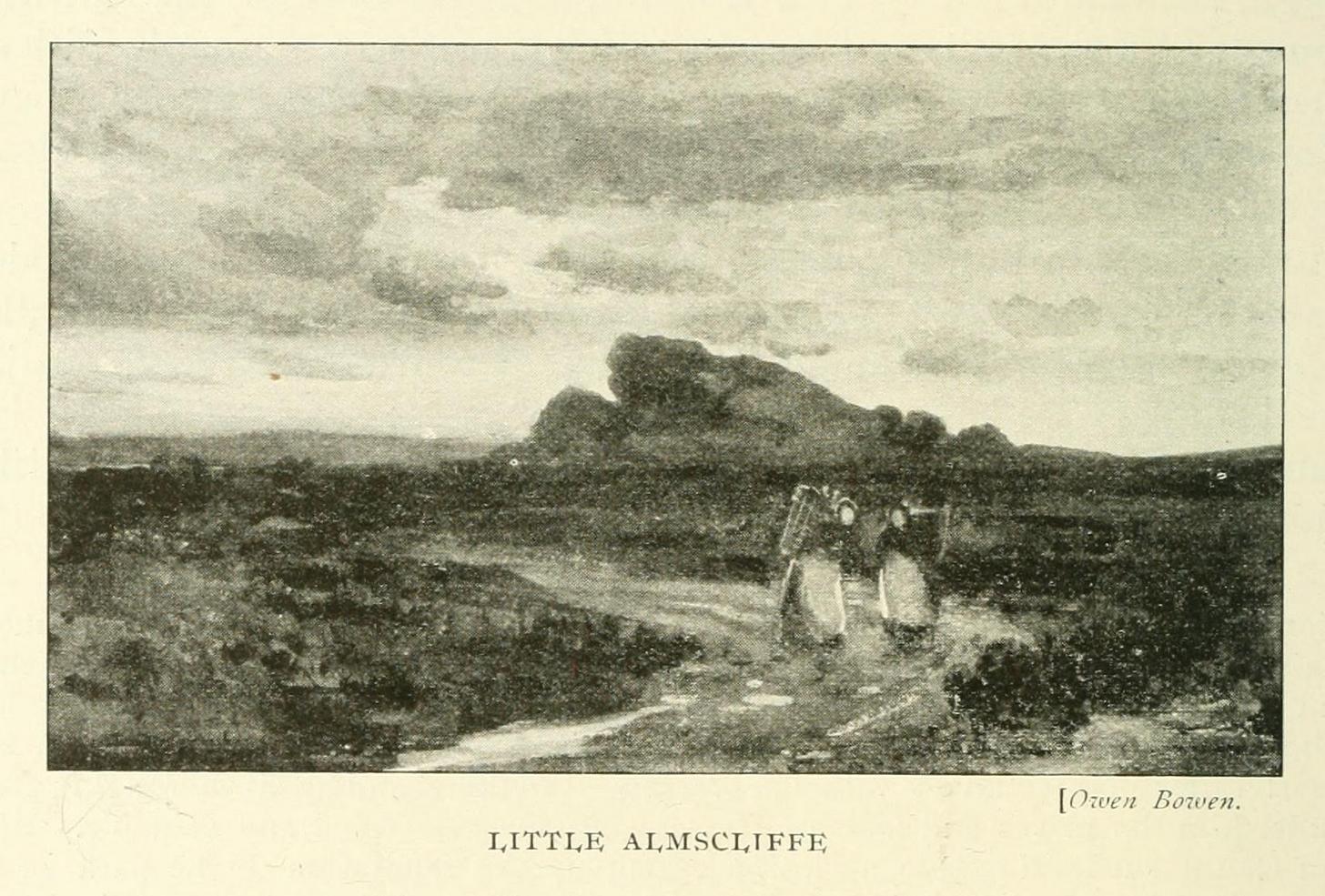
The location on 1851 mapLittle Almscliffe c.1900
Little Almscliffe was one of many impressive places located within the ancient Forest of Knaresborough; and although it wasn’t on the original boundary line, a perambulation (i.e., annual ritual walking to the old stones, trees and wells defining the region) of the area written in 1770, in what Mr Grainge called “the Copyhold Forest”, was undertaken by the Enclosure Commissioners. It differed from the more ancient perambulation rite, in that the newer one included a mention of,
“five bounder stones also marked F to an earth-fast stone, lying northeast of Little Almes Cliffe, marked also with an F; (and) from thence by other four bounder stones marked F to Sandwith Wath…”
The letter ‘F’ here signifying the word ‘forest’, as in the Forest of Knareborough.
William Grainge (1871) also believed these crags to have been a place of druidic worship. He wasn’t the only one. Many other writers of the time thought the same thing; and although we have no concrete evidence to prove this, it is highly likely that these rocks would have served some ritual purpose in pre-christian days. Certainly in more recent times (during the 1980s and ’90s) we know that ritual magickians used this site for their workings. On a more mundane level, the crags were previously used as a site for for beacon fires. One was erected here in 1803 when the first Bonaparte threatened to invade England; but I can find no written accounts of earlier beacons here.
References:
Bennett, Paul, The Old Stones of Elmet, Capall Bann: Milverton 2001.
Bogg, Edmund, From Eden Vale to the Plains of York, James Miles: Leeds 1895.
Bogg, Edmund, Higher Wharfeland, James Miles: Leeds 1904
Cowling, E.T., Rombald’s Way, William Walker: Otley 1946.
Grainge, William, History & Topography of Harrogate and the Forest of Knaresborough, J.R. Smith: London 1871.
Parkinson, Thomas, Lays and Leaves of the Forest, Kent & Co.: London 1882.
Take the B6362 high road between Lauder and Stow and, regardless of which direction you’re coming from, when you reach the top heights of the moorland road with views all around, you need to keep your eyes peeled for where a dirt-track runs south and, diagonally across the road on its north side, is a dirt-track-cum-parking-spot (if you came from Stow, you should’ve already noticed the cairn on the skyline on your way up). There’s a hut circle in the heather by the parking spot. From here, just walk over the heather nearly 300 yards north. Y’ can’t really miss it.
Archaeology & History
Looking to the southeast
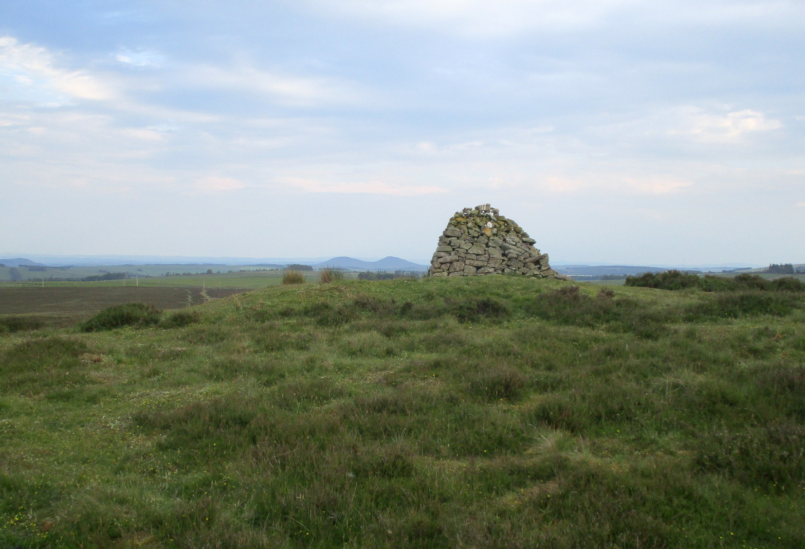
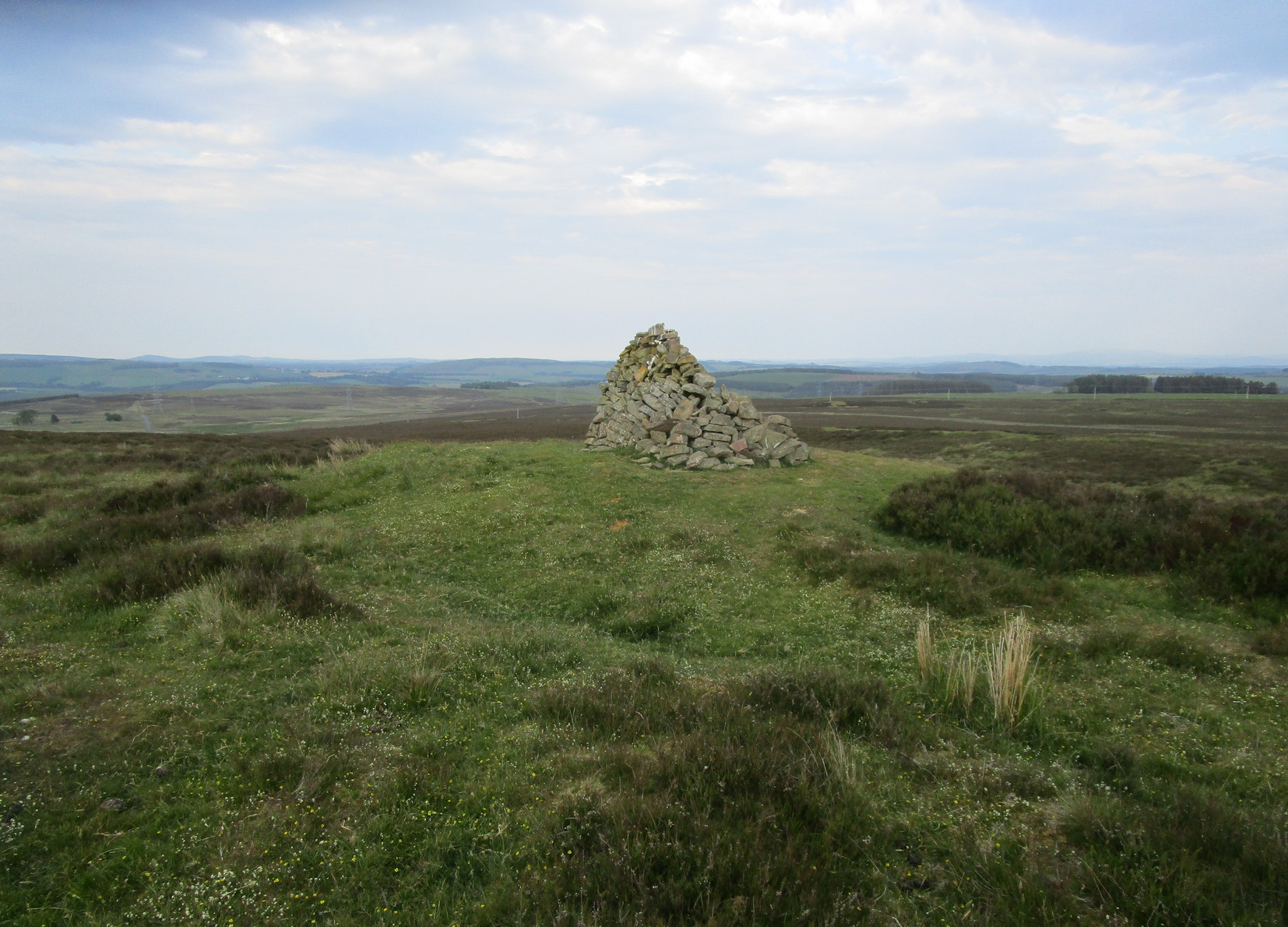
The first thing that you see as you approach here is a modern cairn which is sat upon the more ancient and completely overgrown one. You can’t really see the “ancient” section of it until you walk round to its more northern side, where you’ll then notice how the new cairn has been built on top of a small but artificial rise in the ground, about ten yards across. This is the original ancient cairn. Sections of the ground have come away on its southern side, revealing a scattered mass of loose stones. It doesn’t seem to have been excavated but has all the hallmarks of being typically Bronze Age by the look of it. Of particular note is the superb view from here, not least towards the legendary Fairyland of the Eildon Hills, standing out clearly about 10 miles to the south…
From Skipton head up the B6265 Grassington Road and after a short distance you will reach the Craven Heifer Pub on your left. About ¾-mile past the pub is a small turning on your left called Bog Lane. Go along here for about ¼-mile till you come to a sharp left bend and on the right you will see a gateway with room to park. Once here you’ll notice a sharp-pointed hill—and that’s Sharp Haw! Go through the gate, up the gravel track parallel to the wall on your left for 500 yards. Where the wall ends take the small path on your right and walk up here for ¾-mile where the path splits again. Take the right-hand path for 85 yards and the stone is on the left of the path.
Archaeology & History
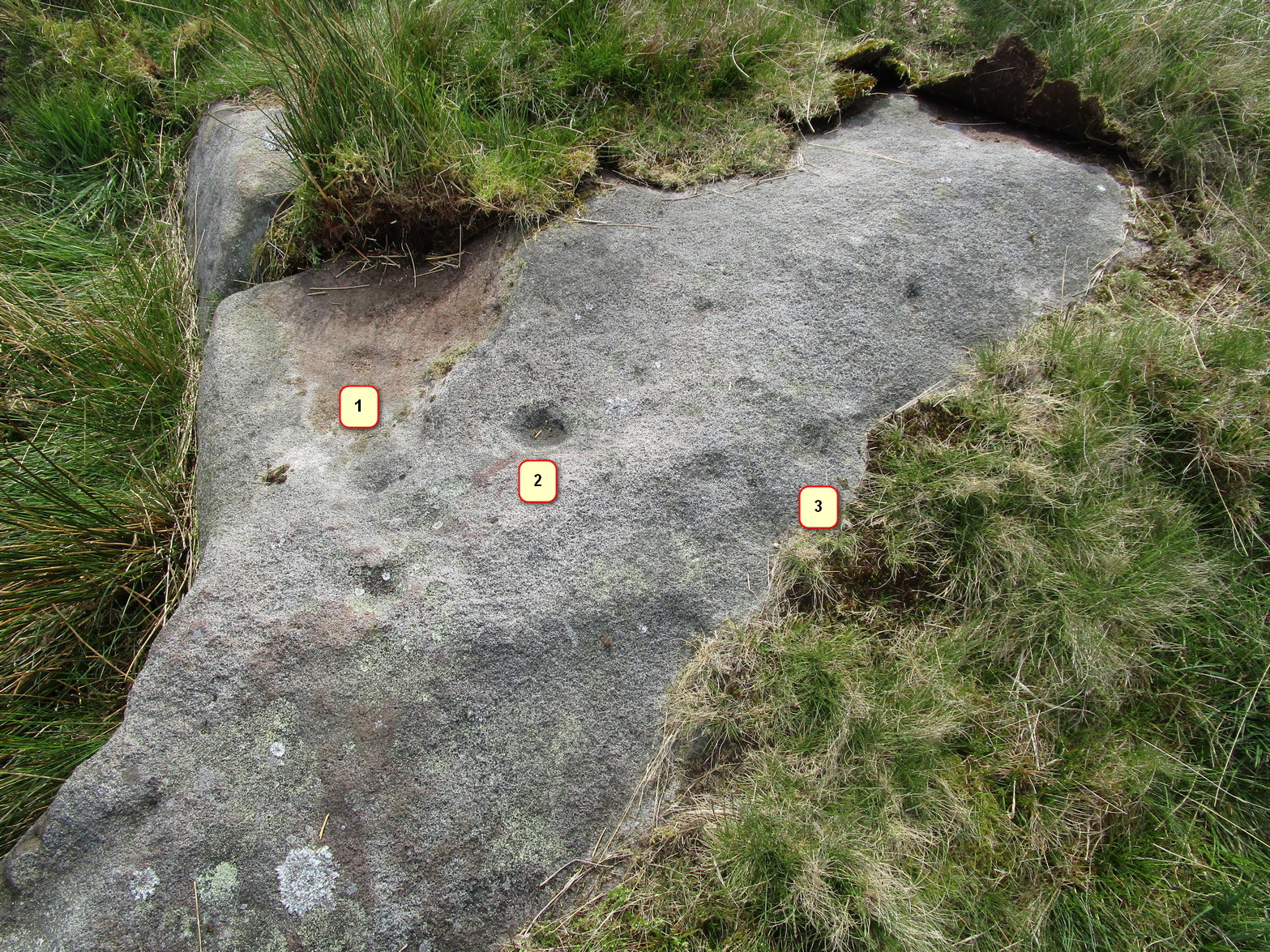
Positions of cup-marks
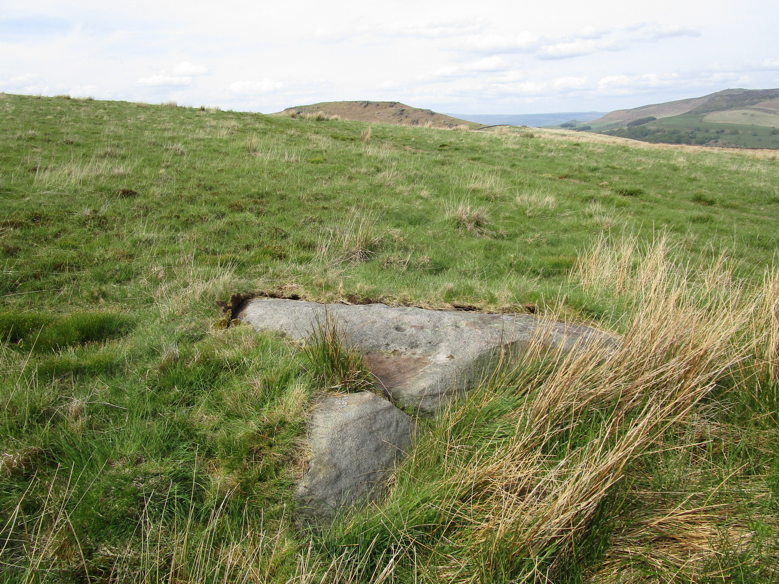
Nowt special to look at, this is merely an elongated earthfast female stone that will be hard to find when the reeds grow high. The design consists of at least three cup-marks, with the most prominent one near the middle of the stone. A second one is shallow and on its northern side, near the middle; whilst the third one on its southern side was uncovered when we peeled back the vegetation; the peck marks are still visible. In the photo to the left I’ve placed numbers below the position of the respective cup-marks. In a cursory meander here, we found no other carvings – but that doesn’t mean there aren’t any!
From Ilkley, go up to White Wells (ask a local if y’ get stuck) and walk round the back of the building. Walk to the trees and then follow the footpath up onto the moors; but after 70 yards a small footpath on your right goes up the slope. Take this and after about 90 yards it veers round to your left, following the contours up towards the copse of trees. Another 100 yards up it meets with another path and once here, just yards in front of you, right by the side of the footpath, is the stone in question.
Archaeology & History
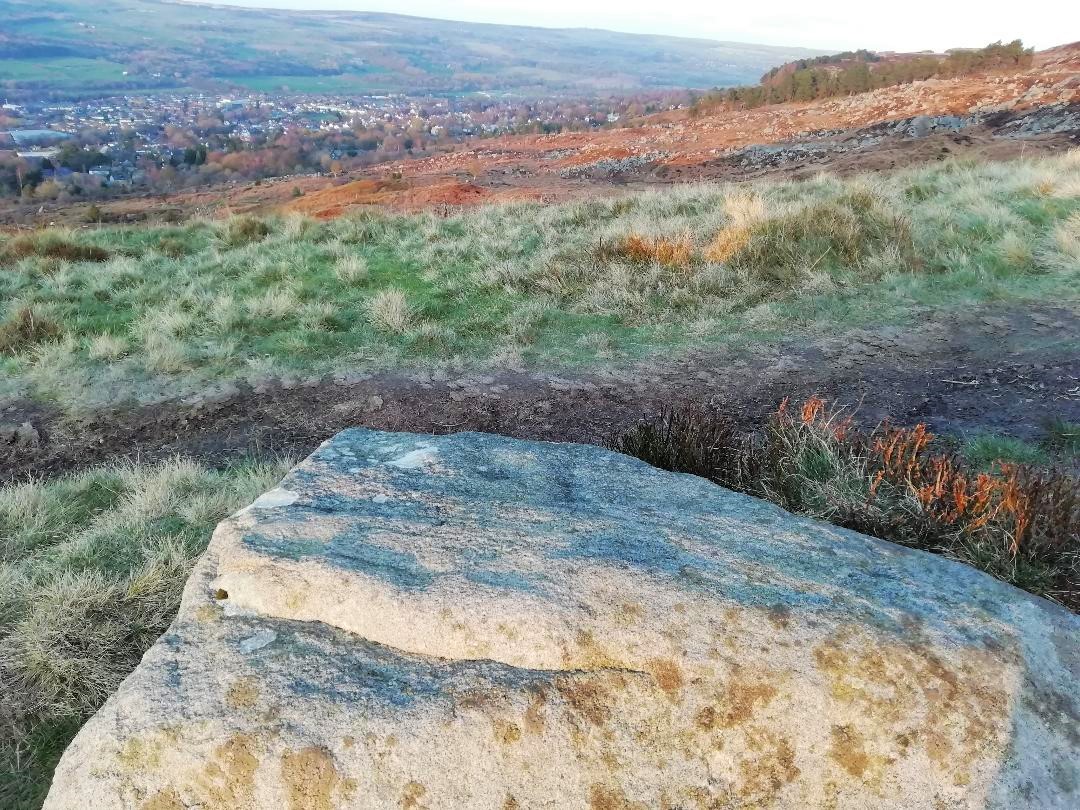
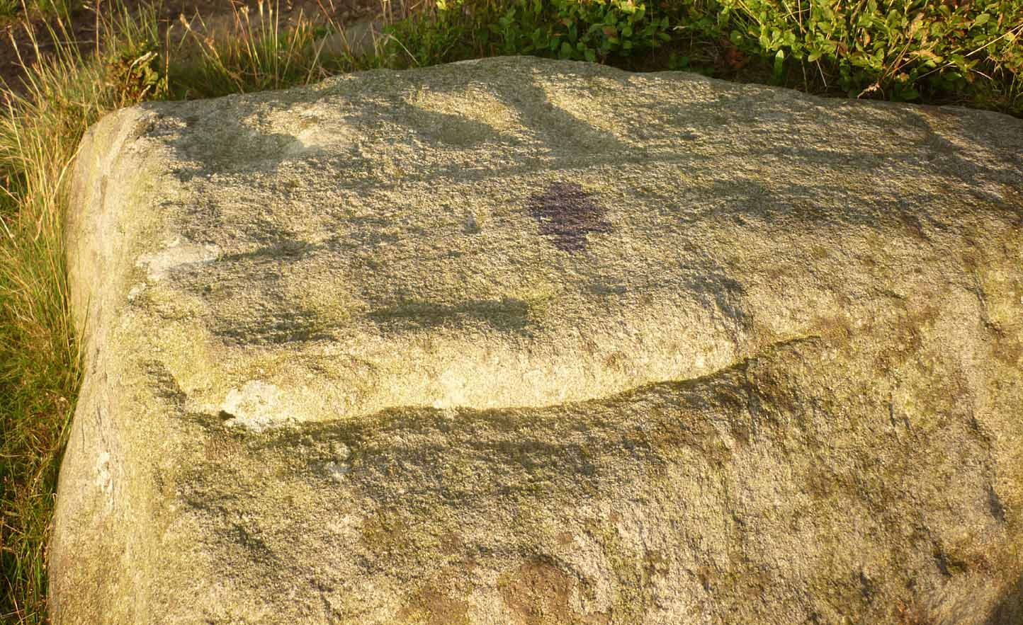
First described in John Hedges (1986) survey, this simple cup-marked stone typifies many petroglyphs on these moors: a barely visible design much eroded by centuries of wind and water, with markings perhaps only of interest to the devoted student and explorer. But at least it’s a good place to sit, rest and watch the valley below.
Looking down at the cupsHedges 1986 sketch
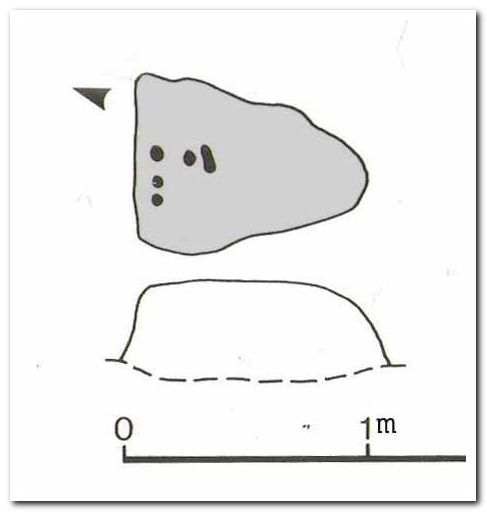
This old fella looks to have only five cupmarks on its supper surface, one of which is elongated, as shown in Hedge’s drawing. However, when he saw this, he thought the elongated ‘cup’ consisted of three of them in a line, all linked up. He saw a “medium sized smooth grit rock standing in grass, its surface triangular in shape, with flat top sloping slightly N to S. Three cups connected by a groove, c. four other cups, all shallow and worn.”
This description was echoed in Boughey & Vickerman’s survey (2003), where they thought that the “triangular top surface has about seven worn cups, three connected by a short groove.” But if the light isn’t quite right, this can be very difficult to see.
References:
Boughey, Keith & Vickerman, E.A., Prehistoric Rock Art of the West Riding, WYAS: Wakefield 2003.
Hedges, John (ed.), The Carved Rocks on Rombalds Moor, WYMCC: Wakefield 1986.
Follow the directions to reach the faint but impressive Allt a’ Choire Chireinich (04) petroglyph. Standing here, you’ll notice the large boulder that looks as if it’s fallen down the slope immediately to your left. You can’t really miss it.
Archaeology & History
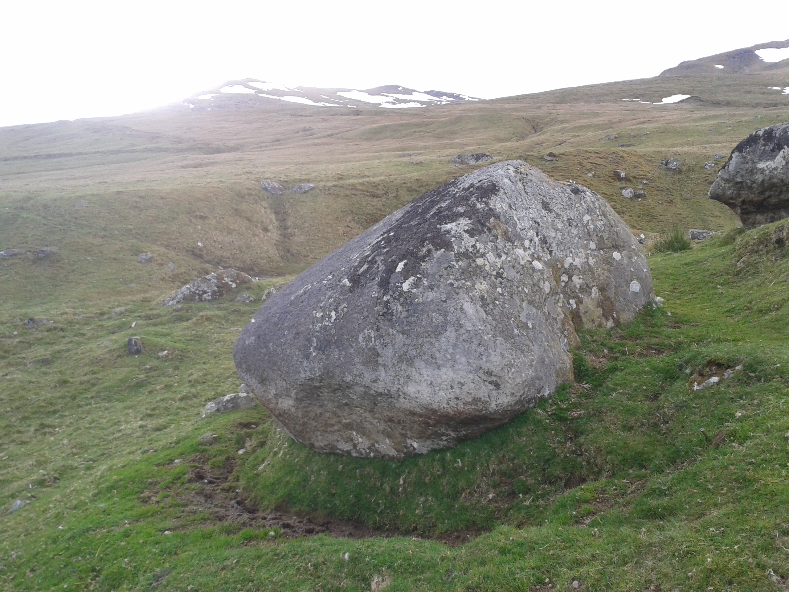
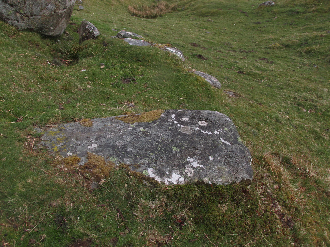
Beneath the gorgeous excess of ancient lichens you can make out at least three cup-marks on the south-facing sloping rock-face in the top-half of the boulder. There may be some other faint cups on here, but due to the lichens they are very difficult to see, so I’m erring on the side of caution regarding their veracity. This is another one of those carvings likely to be interest only to the most ardent petroglyphic nuts amongst you.
Follow the directions to reach the faint but impressive Allt a’ Choire Chireinich (04) petroglyph. Standing here, look straight down at the dried-up burn barely ten feet below you, where you’ll see a small sloping rock. That’s it!
Archaeology & History
Nothing much to see here apart from a single shallow cup-marking. Most likely of interest only to the most ardent petroglyphic explorer, but worth looking at when you’re visiting the more impressive carvings nearby.
Table Stone carving (photo by Jonathan Warrenberg)
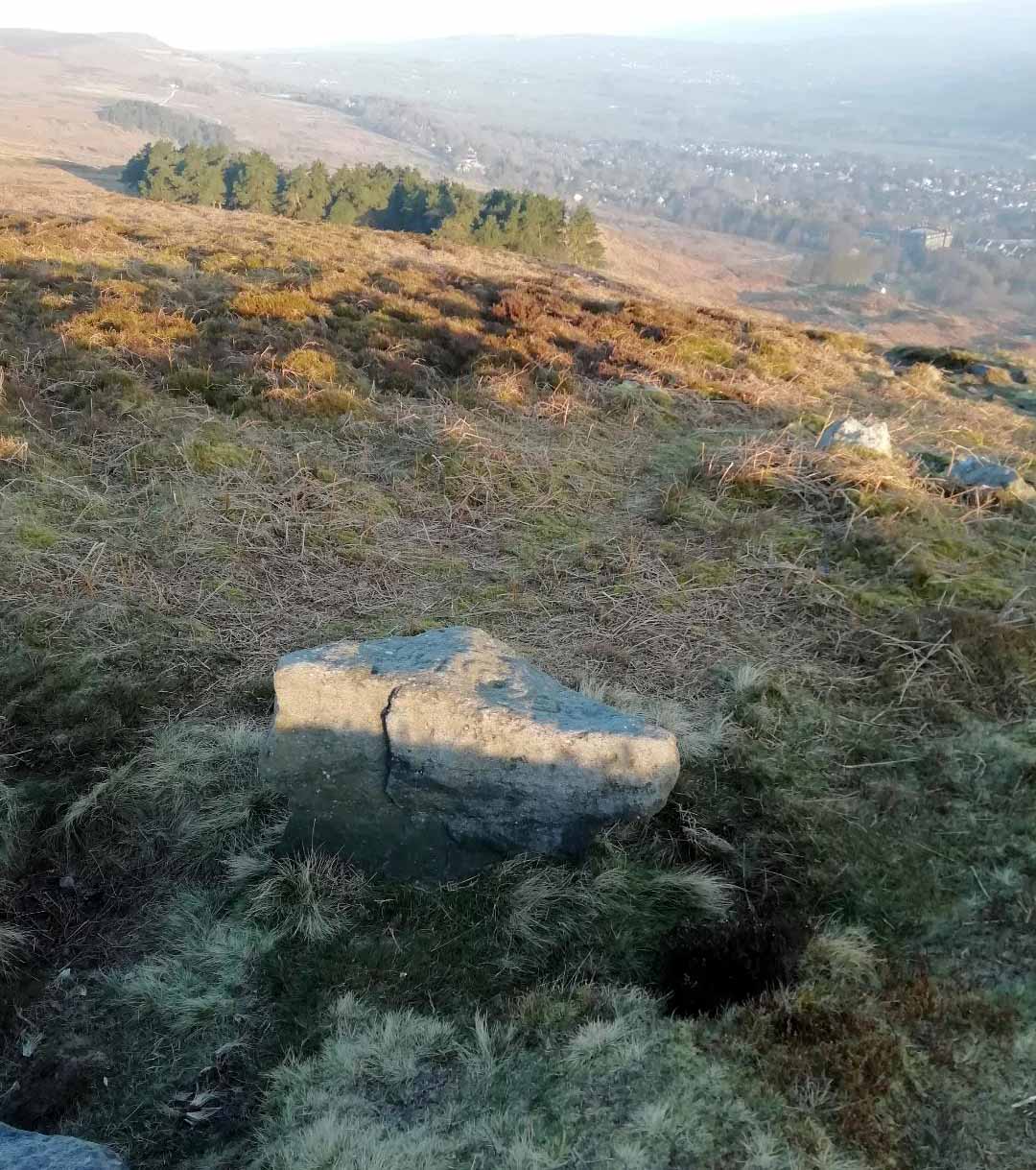
From Ilkley walk up to the White Wells and follow the footpath behind it up to the cliffs, up the stone steps and onto the moor itself. Once you’ve climbed the steps, walk uphill onto the moor for 100 yards, then turn right up a small path for another 80 yards until you reach the large Coronation Cairn with its faint cup-and-ring stone. From here there are two paths heading west: take the higher of the two for just 30 yards where a small group of rocks are by the path-side on your right. The curiously-shaped ‘upright’ one is the stone in question. You’ll see it.
Archaeology & History
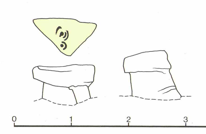
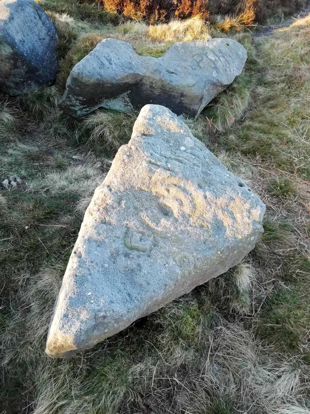
Found high up on top of an oddly-shaped stone, somewhat like an anvil or small table (hence the name, courtesy of Jonathan Warrenberg), is carved a slightly worn, incomplete cup-and-double-ring. This aspect of the design is the one that stands out the most; but you’ll also see a cup-and-half-ring there too.
The carving seems to have been described for the first time in John Hedges (1986) survey (though I may be wrong), who described an additional feature to the design, saying:
“Small grit rock in possible cairn material, cut all round as if one pedestal, top surface triangular, sloping slightly SW to NE, overlooking Wharfe Valley, in grass and crowberry. Large cup with two vestigial rings, second large cup with vestigial ring. Possible third ring of corner edge (hewn off). Recent carving of initials spoils original carving.”
John Hedges 1986 sketchLooking from above (photo – Jonathan Warrenberg)
His description of the stone being “in possible cairn material” doesn’t seem true – although a number of petroglyphs are associated with cairns of varying sizes. Several other carvings can be found close to this one.
In Boughey & Vickerman’s (2003) later survey, they copy Mr Hedges earlier description, but with less detail.
The view from this stone is quite impressive. Even with the minor tree cover that would have existed when this carving was done, you’d still have clear views up and down the winding wooded valley that was carved by the River Wharfe. The moors to the north at Denton and Middleton with their own petroglyphic abundance could be chanted at with ease from here when the winds sleep. Tis a good spot to sit… if you’re lucky enough to get some silence…
References:
Boughey, Keith & Vickerman, E.A., Prehistoric Rock Art of the West Riding, WYAS: Wakefield 2003.
Hedges, John (ed.), The Carved Rocks on Rombalds Moor, WYMCC: Wakefield 1986.
Acknowledgments: Huge thanks to Jonathan Warrenberg for the use of his photos in this site profile – and also due credit for giving the stone its modern title. 🙂
Along the A169 road between Sleights and Pickering, some two miles south of Sleights turn right as if you’re going to the tombs of Flat Howe and the Bride Stones, but just park up 80 yards along by the cattle grid. From here, a fence runs southeast and the mound is on the near skyline, just over 100 yards away. Just walk through the heather to reach it.
Archaeology & History
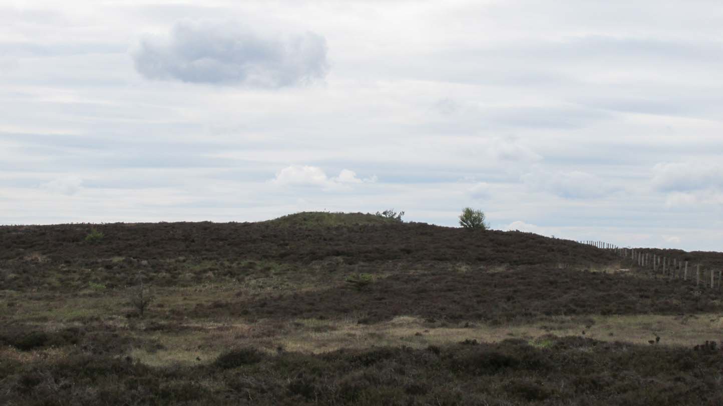
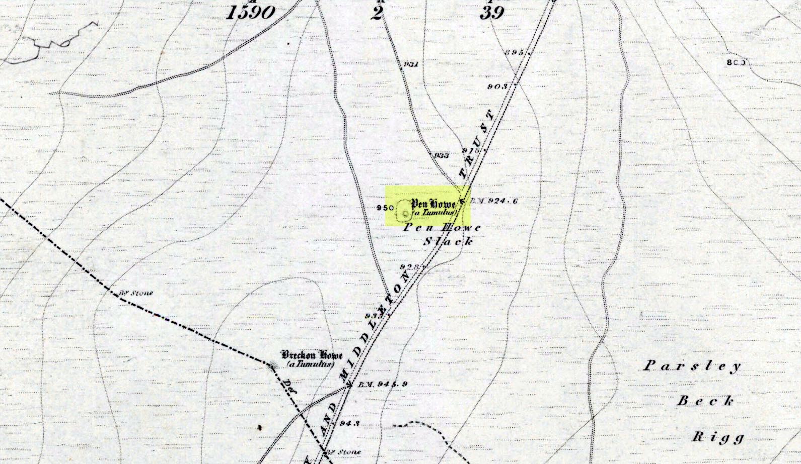
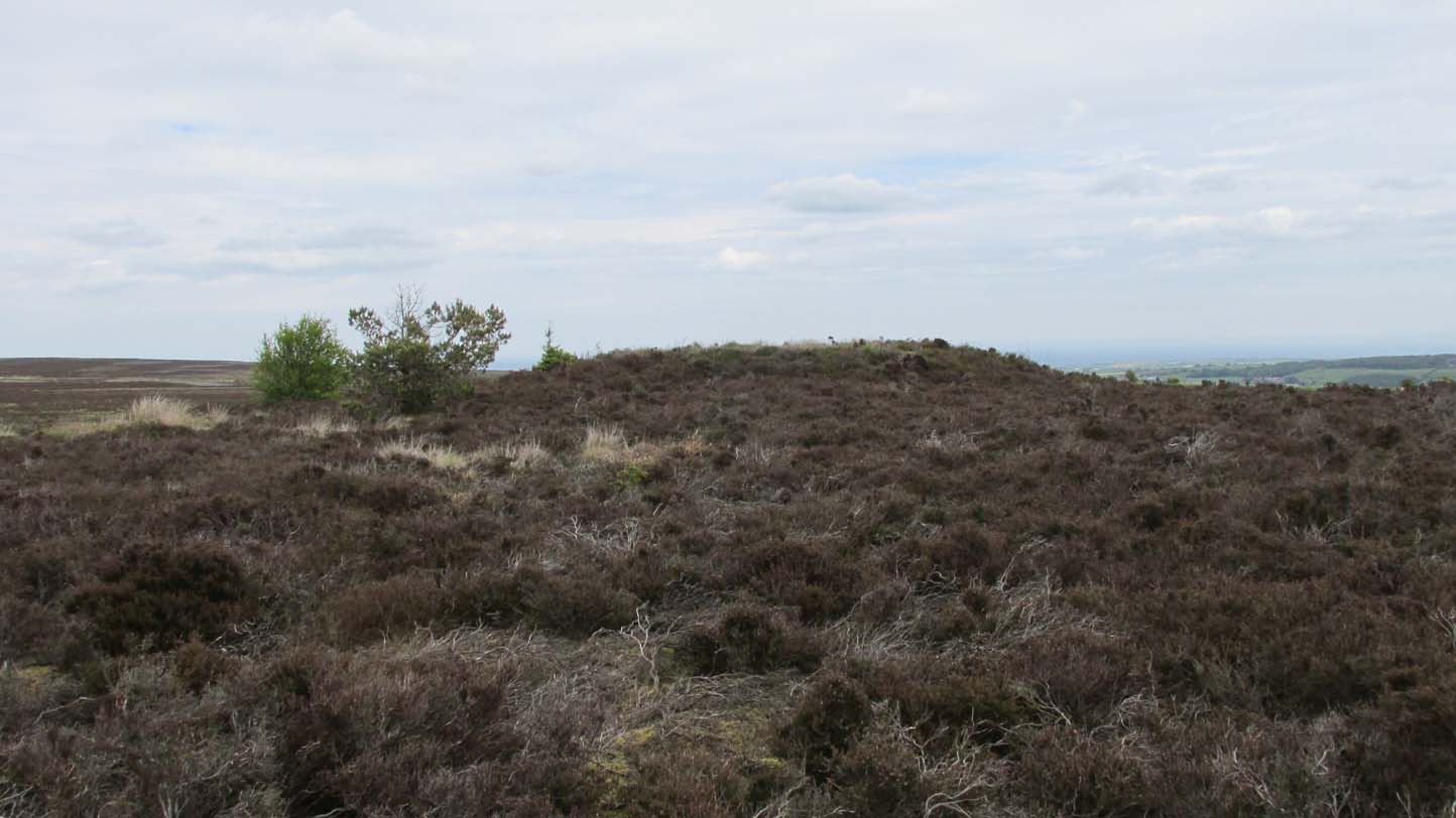
Shown on the first OS map of the area in 1853, this somewhat overgrown prehistoric tomb is one of two in close attendance to each other (see Pen Howe 2); and is some 435 yards (398m) away from the more prominent Breckon Howe tomb to the southwest. Like others on Sleights Moor, no real archaeological attention has been paid here, with Frank Elgee (1930) only giving it the slightest mention in passing.
Pen Howe on 1853 mapPen Howe, looking SE
Smaller than its nearby companions of Flat and Breckon Howe, the overgrown cairn raises about four feet above ground level and about 20 yards across. Probably Bronze Age in origin, it has a slightly concave top that gives the impression that someone at sometime in the not-too-distant past has had a bittova dig here to see if there’s owt inside. But we have no record of such a thing.
surmounted by a relatively recent boundary stone, sits at the highest point on the moors in these parts. Despite this (as with others on these moors), very little has been written about the place and it has received only minimal attention in archaeology tomes. Even the renowned pen of Frank Elgee (1912; 1930) gave it only passing mention. Perhaps it aint a bad thing to be honest.
References:
Elgee, Frank, Early Man in Northeast Yorkshire, Frank Bellows: Gloucester 1930.
Acknowledgements: Big huge thanks to my Lindsay Mitchell for getting us up to see this old tomb and its companion. (which is nearly as old as Linzi 🙂 )
The quickest way to get here is to follow the directions to the Sharp Haw Trig Stone. From the Trig Stone keep heading down the footpath until you see the gate at the bottom. Go through the gate and Rough Haw is straight in front of you. Head towards Rough Haw and you will see a track going straight up the middle. Go right up that track and over the top till your on the summit, keep walking forward about 50-60 yards and you will see it.
Archaeology & History
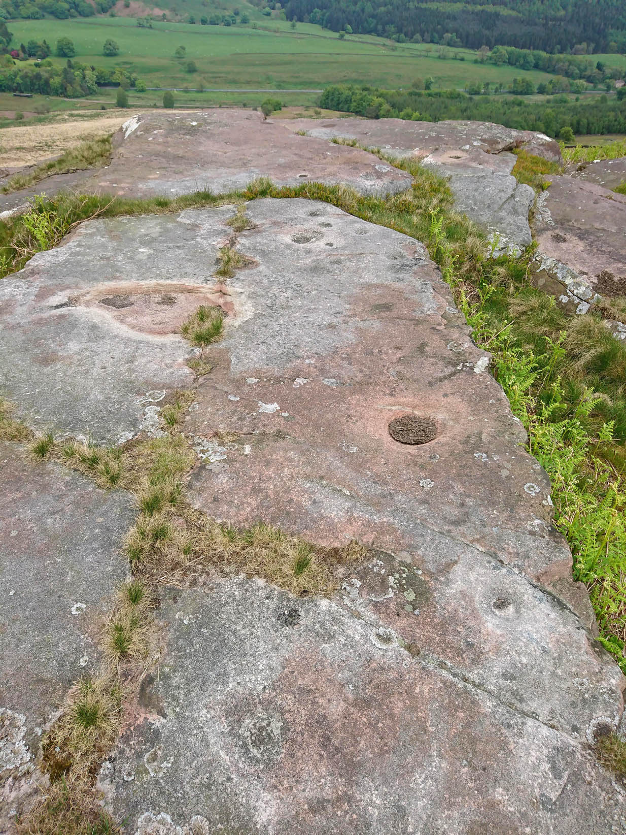
Second lot of cups
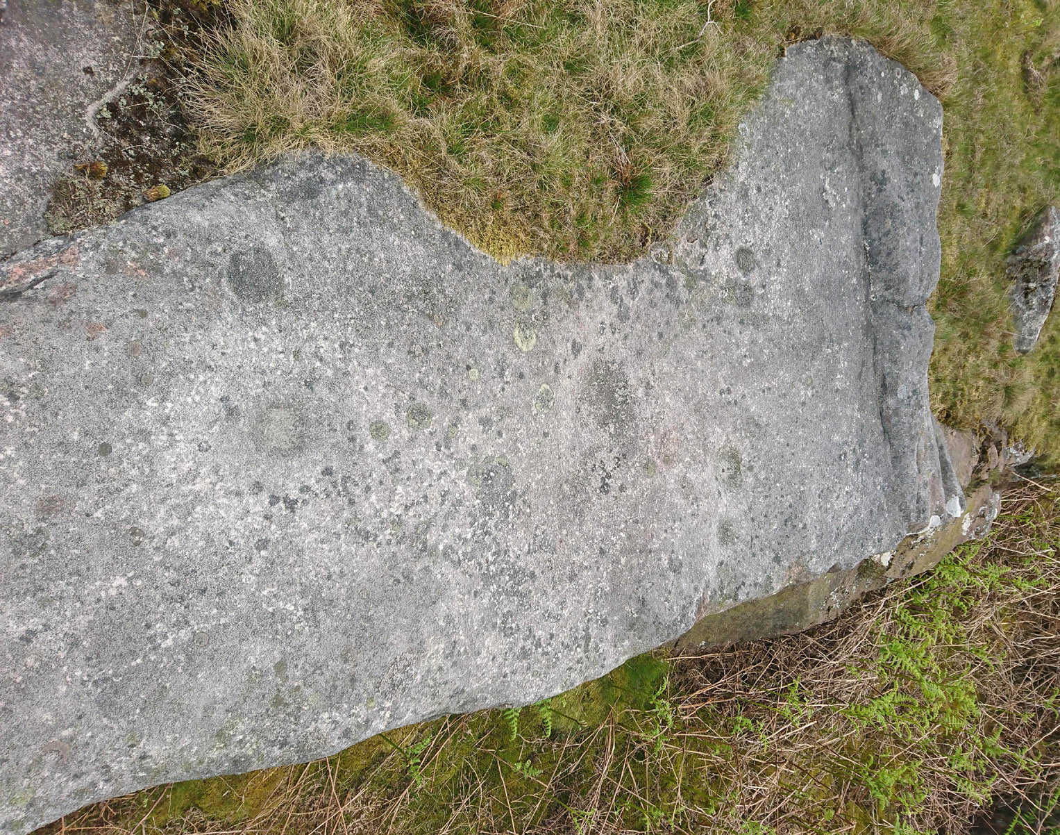
Some petroglyphs have been found near the top of the prehistoric Iron Age settlement called Rough Haw, a few miles north of Skipton. Not previously recorded, this long flat stone and its companion are littered in cup markings (perhaps a couple of dozen). There could be more cups and other markings than we saw today, but by the time we reached here the sun had disappeared, so poor daylight made it difficult to see if there were any more. Another venture up onto this hillfort might be worthwhile to see if anymore can be found.