Cairn: OS Grid Reference – NT 49340 46162
Getting Here
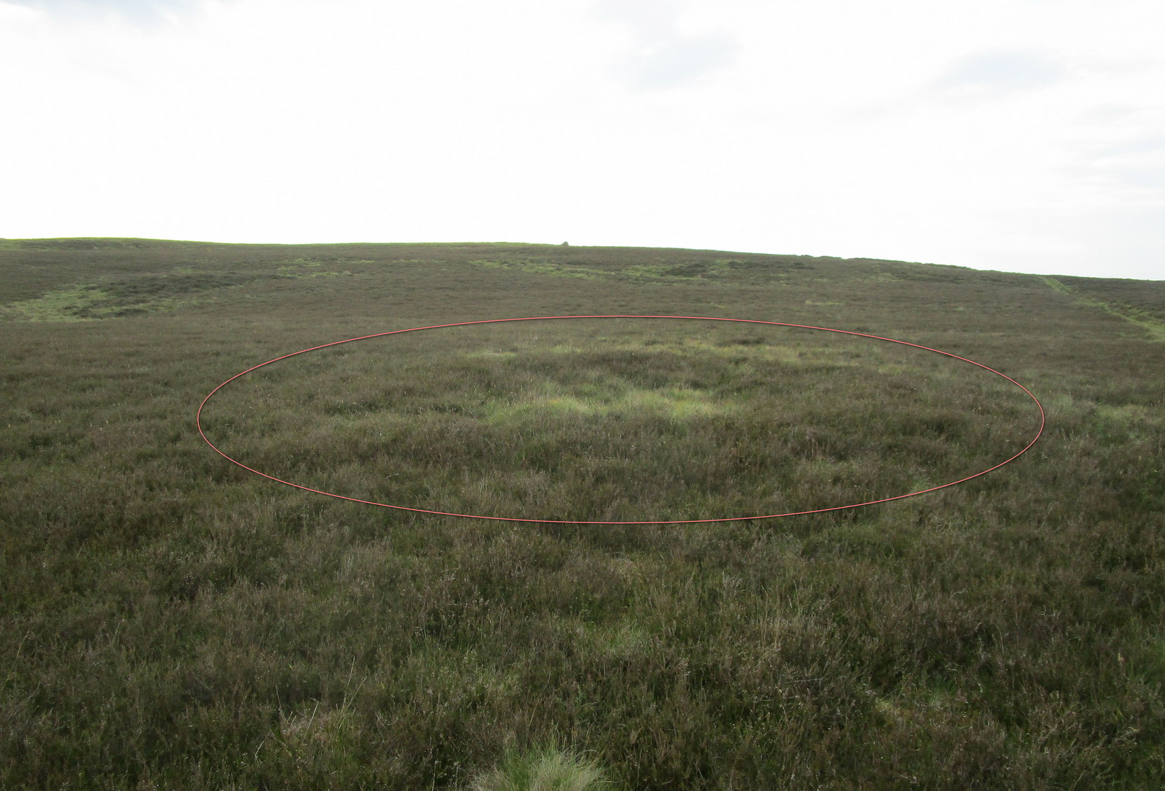
Take the B6362 high road between Lauder and Stow and, regardless of which direction you’re coming from, when you reach the top heights of the moorland road with views all around, you need to keep your eyes peeled for where a dirt-track runs south and, diagonally across the road on its north side, is a dirt-track-cum-parking-spot (if you came from Stow, you should’ve already noticed the cairn on the skyline on your way up). There’s a hut circle in the heather by the parking spot. From here, just walk over the heather nearly 300 yards north. Y’ can’t really miss it.
Archaeology & History
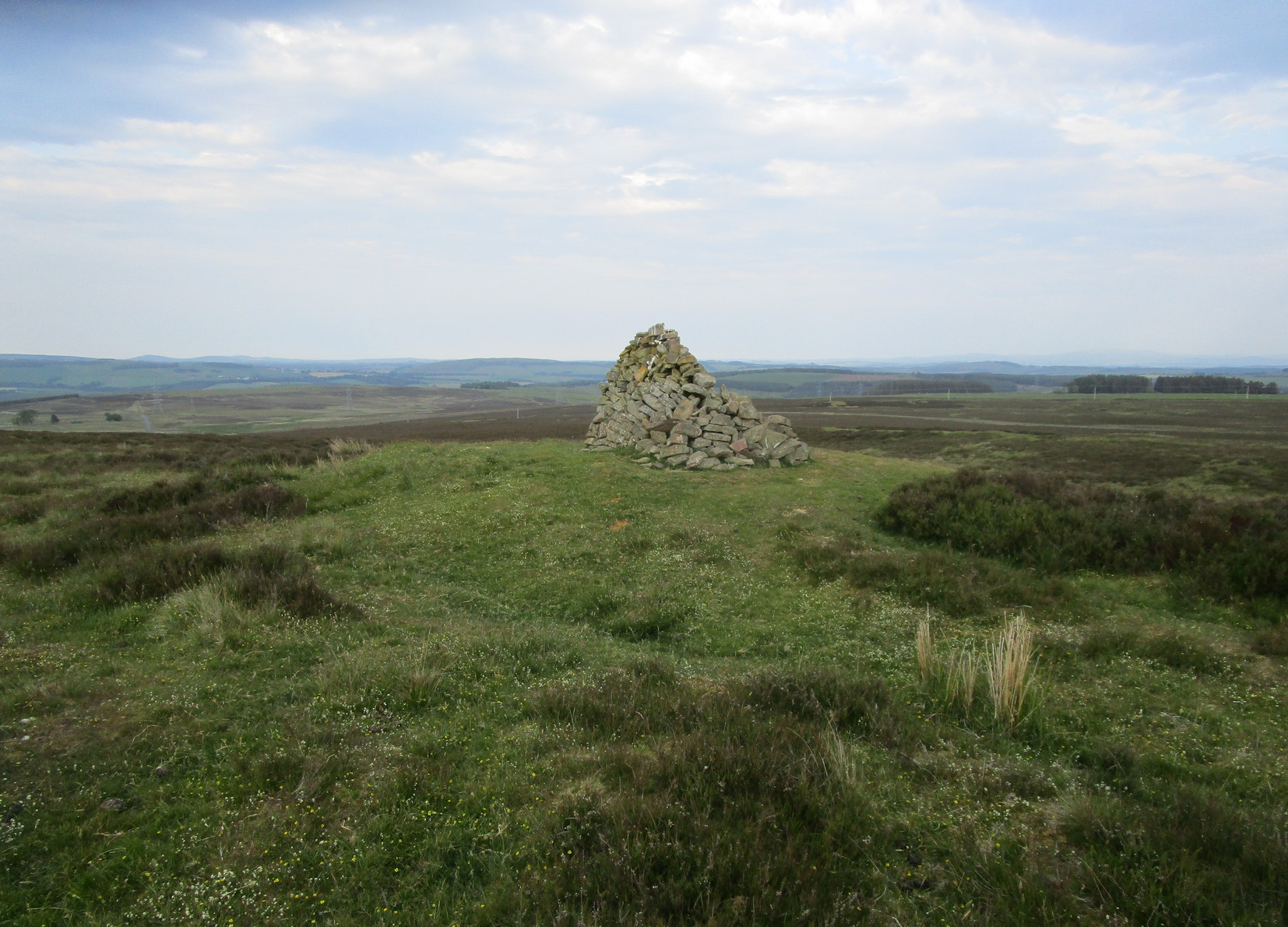
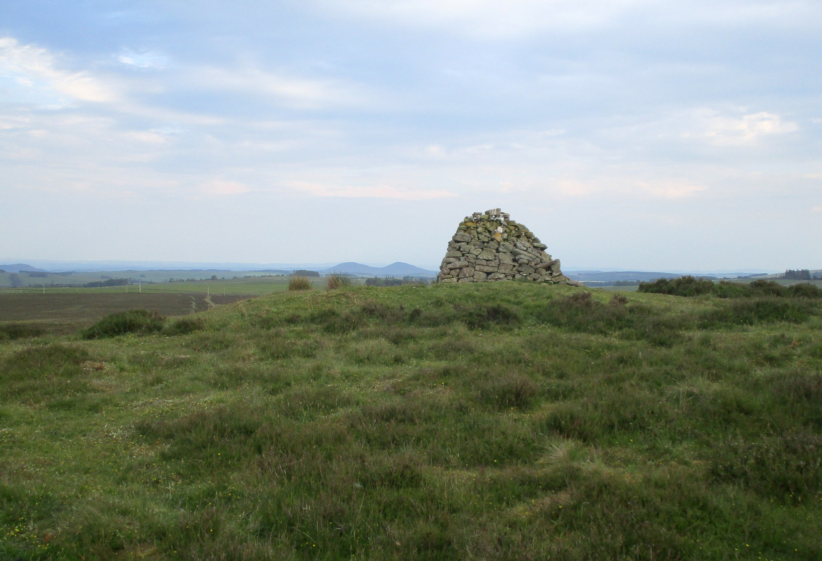
The first thing that you see as you approach here is a modern cairn which is sat upon the more ancient and completely overgrown one. You can’t really see the “ancient” section of it until you walk round to its more northern side, where you’ll then notice how the new cairn has been built on top of a small but artificial rise in the ground, about ten yards across. This is the original ancient cairn. Sections of the ground have come away on its southern side, revealing a scattered mass of loose stones. It doesn’t seem to have been excavated but has all the hallmarks of being typically Bronze Age by the look of it. Of particular note is the superb view from here, not least towards the legendary Fairyland of the Eildon Hills, standing out clearly about 10 miles to the south…
© Paul Bennett, The Northern Antiquarian